Blue Mountain (Acme, WA)
January 19, 2016
743m
Bellingham / Acme, WA
“Blue Mountain” is a popular but somewhat unexciting name. A quick search on the Internet shows at least half a dozen officially named “Blue Mountain”s existing in BC, WA and OR, and many of which are those forested summits in the “foothills” region. The one I ascended was in the western Whatcom Country behind a group of hills called “The Chuckanuts” and in front of the jagged Twin Sisters Range. This is a mere slog up a forest service road, but does serve well as a bad-weather objective. The forecast was calling for cloudy with 30% chance of showers (<1 mm) and my dad wanted to do something south of the border so the decision was fairly easily made.
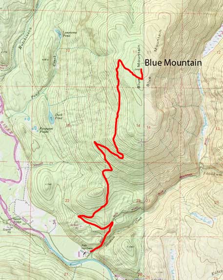
Blue Mountain hiking route. GPX DL
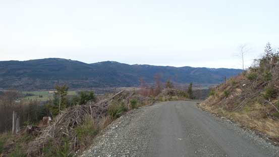
The drive out went fairly uneventful and we cruised down Highway 99, I-5, 542 and finally, I-9 southwards and eastwards into the small community called Acme. A few minutes passing this little village we turned left on Saxon Road, followed it to the end and parked nearby an obvious gate. The gate at the start of Blue Mountain FSR was surprisingly unlocked but the sign said in some very clear language it’s not open to motorized vehicles. Well, one of the main purposes of this trip was to have some exercise anyway… The road was in a really good shape but does have a few confusing branches here and there. There’s no American topographic map on my GPS, but I did come prepared with a pre-drawn track on scribblemap.com, so route-finding wouldn’t be an issue. On hindsight this would be a perfect mountain-biking trip similar to the Twin Sisters approach.
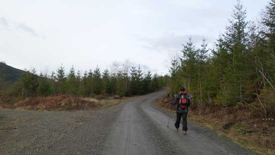
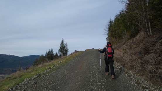
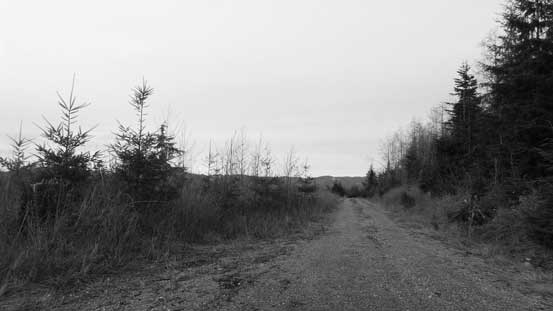
A very typical view of this road hike
It’s as simple as following this road up…
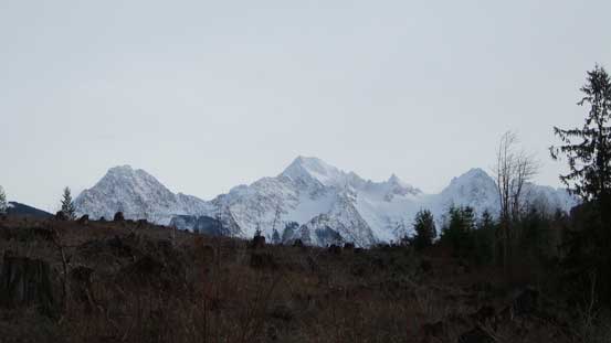
Good view of the Twin Sisters Mountain though
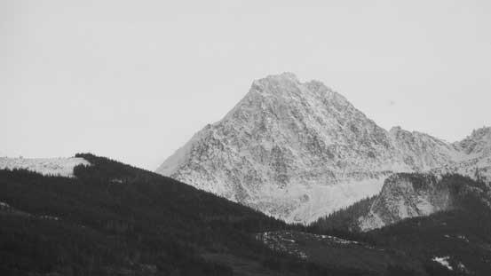
A zoomed-in view of North Twin – bagged last year in October
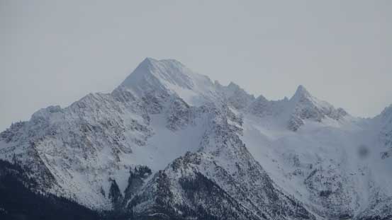
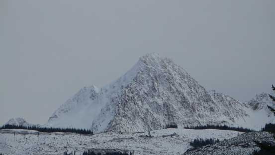
The bulky South Twin (highest in the Twin Sisters Range) with the pointy Skookum Peak on its right shoulder. This shape resembles the North Face of Mt. Sir Douglas in the Canadian Rockies.
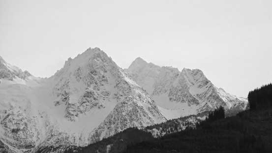
The not-so-often ascended Hayden Peak (L) with Little Sister behind (R)
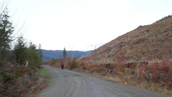
Looking back along the road
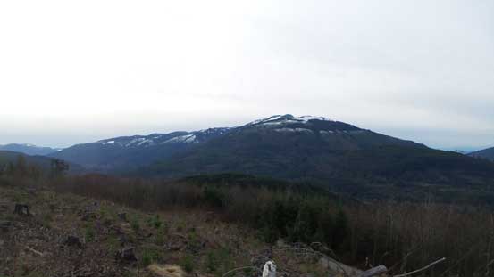
Lyman Hill dominates the view looking south.
More than halfway up we came to a Y-junction with the well-travelled path going to our right. I double-checked my GPS and confirmed that we should go left. The snowshoes were ditched soon as it’s getting apparent that we wouldn’t need them on this day. The left branch (also in a good shape) led us to a long contouring around the west flanks of the upper hill, and just before it’s starting to drop height we turned right up a smaller road. By now we were very close to the summit area and just before this secondary road starting to lose elevation we picked up another (narrower and more overgrown) fork branching off to our left. This fork led us back into some taller trees and the summit was in the forest with zero view. We came back to the open area and had a short break before starting the descent.
The road walk continues
Here’s just before we left the main road up the secondary branch
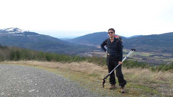
Me near the summit of Blue Mountain
There’s minimal to document about the descent other than how boring it was… I nearly fell asleep walking down this mundane road and the road did feel much longer than what I remembered from the ascent (as usual)…
Time to go home…
One last look at North Twin
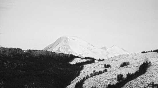
The only view of Mt. Baker that we got
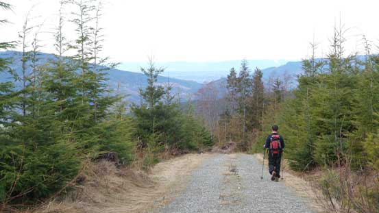
The boring hike
Our round trip time was just under 4 hours and this concluded another boring lowland forested bump.. I don’t think I’ll ever go up this peak again, nor would I recommend it to hikers looking for some impressive views.. Back to Bellingham we had a late lunch in Safeway and the border crossing back to Canada had no delay.
