McKee Peak
January 15, 2016
468m
Abbotsford, BC
With some soggy weather shaping up towards the weekend I was hoping to take at least some advantage of the brief weather window from Thursday afternoon to early Friday morning. The problem was? I had work commitment on both days’ afternoon ruling out anything major. I checked the avalanche bulletin and saw “Low” in the forecast for our local North Shore Mountains so I knew instantly that I had to make a sunrise ascent of the true summit of Mt. Seymour. The alarm was set at 3:30 am and my dad could come along but as we drove there we were surprised to see a gate and a dude stopping us saying the park’s closed before 7 am… Back home and now it’s almost 6 am and I had to pick something out, and gazing at the maps I saw the lowly McKee Peak by Abbotsford. Some quick Google searches led me to the conclusion that we could still get up there before sunrise so the decision was made.

McKee Peak hiking route from the north. GPX DL
There’s a maze of trail on the slopes of this little peak but the easiest one is by a communication tower or logging road from the north. I had previously never been there and considering we’d hike up in the dark and without GPS tracks this seemed like the right idea. Out eastwards into the Fraser Valley we exited the highway at Whatcom Road and turned right at McKee Road. The start of that logging road wasn’t easy to locate and we missed the turn-off. But thankfully at this point I had already turned my GPS on so we backtracked and parked at a pull-out. And even so we still hiked up a wrong road… The road deteriorated soon and 20 minutes later we came to a dead end. Checking my GPS I made the call to bushwhack straight up and a few minutes later we intersected the correct road. I had no clue how we missed the major road but we’d figure it out later on the descent. Upwards and onwards the hike was easy, albeit still confusing at places. We did manage to make to the summit before sunrise but the views were pretty limited.
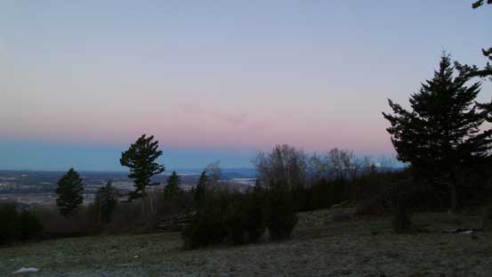
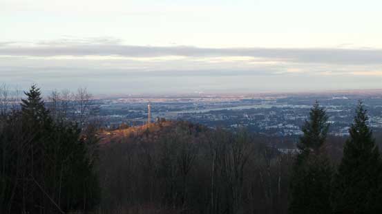
Morning colour over the horizon from near the summit
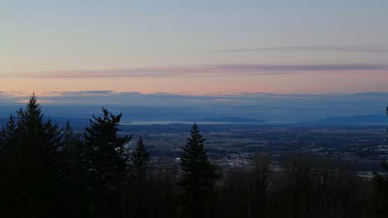
Looking southwards into Washington State

The city of Abbotsford

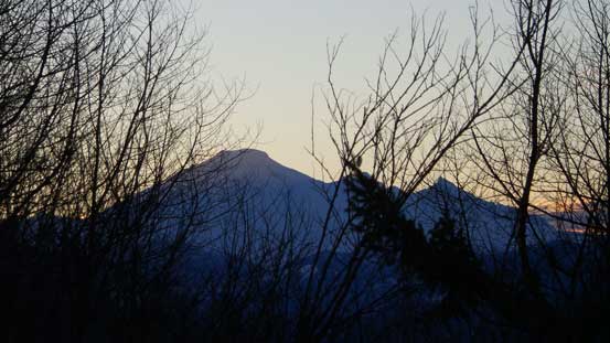
Mt. Robie Reid (L) and Mt. Judge Howay (R) on alpenglow
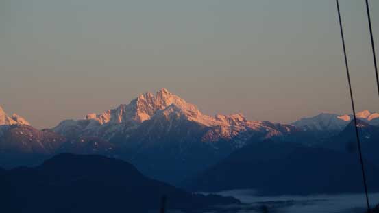
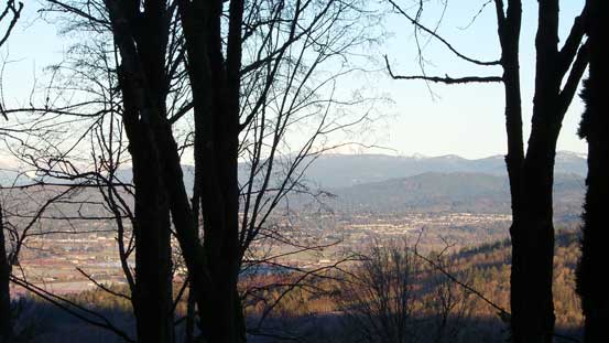
As much as the view I got for Mt. Baker
Mt. Judge Howay

Mt. Robie Reid

The summit facility obscured all of my views…
After wondering around for about half an hour checking out the few open places nearby the summit area we decided to head down. A layer of clouds had rolled in from the south (as expected) and we’d soon lose the blue sky. We followed the main road all the way down just to see how we ended up getting lost in the morning. In fact, the start of this road was heavily obscured by the local developments and it started from the east side of a large pit/construction. We hiked up from the wrong side in the morning so that’s why we ended up on a wrong one.
As you can see the clouds were rolling in…
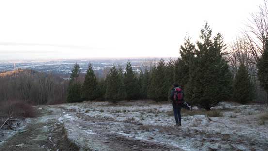
Time to hike down
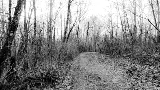
The typical road view
Not really much to see…
Now it’s time to get some gas in Sumas (it’s only a few clicks’ detour from Abbotsford to the US border and you save 30% if not more), and then drive home. I did manage to catch up about half an hour’s sleep (not quite enough) and then it’s time to get ready for the afternoon work. Overall I don’t think I’ll recommend McKee Peak as a hiking objective other than getting some mere exercise (only 250 m elevation gain anyway)…
