Organ Needle
April 1, 2022
2737m
Las Cruces, NM
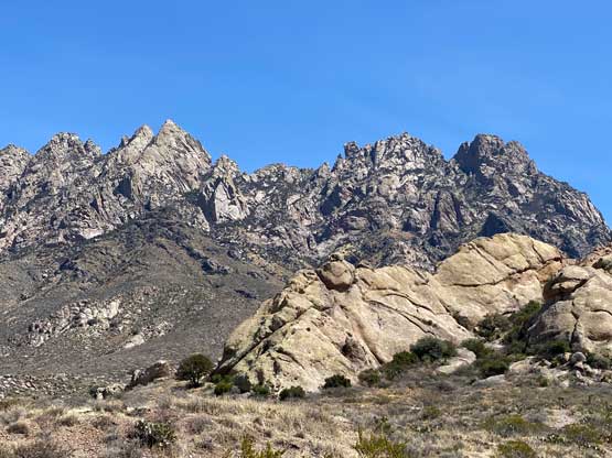
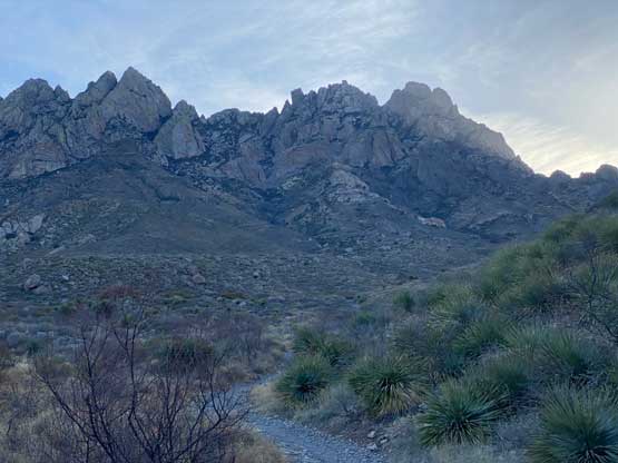
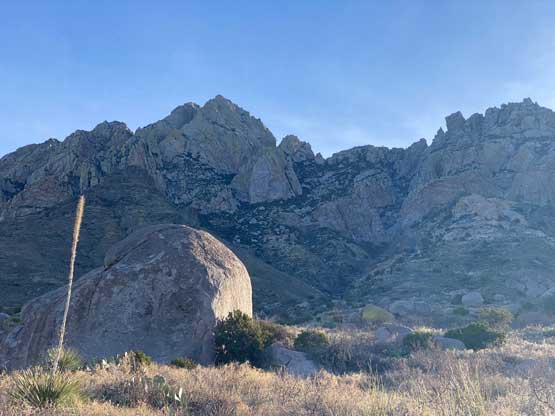
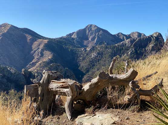
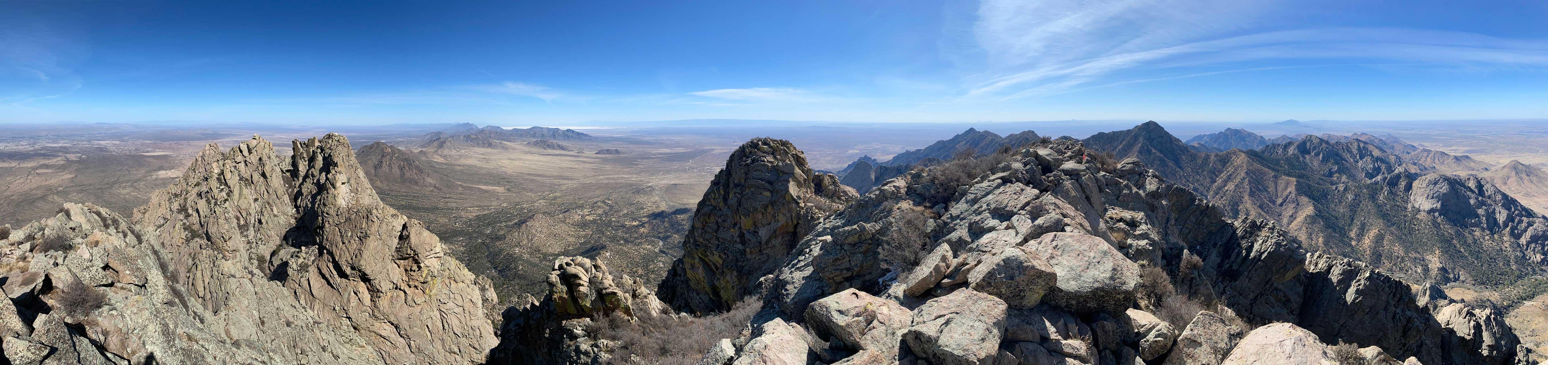
Organ Mountains is a rugged range in southern New Mexico with numerous technical summits. Organ Needle is the highest in this range but is non-technical. There’s a 4th class crux but a rope has been fixed there reducing the technical difficulty. The standard route also has a trail/path even though this trail is quite steep and less-defined at times. Needless to say this is a classic in the desert and should be on every peak-bagger’s list.
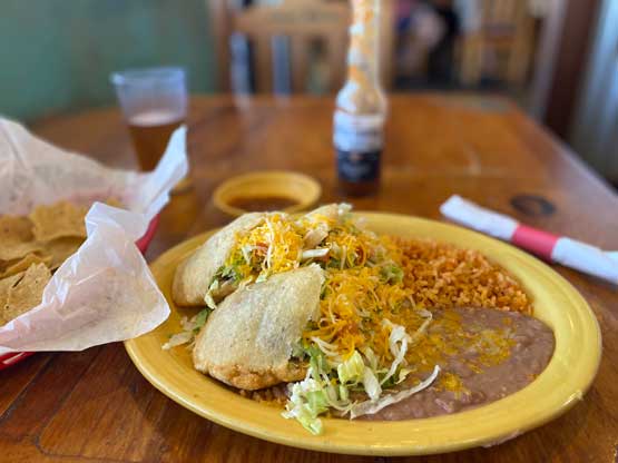
When researching prominent peaks in New Mexico’s desert areas I instantly noticed this one on the map. Initially I wasn’t planning to drive that far down south from Denver considering I had to drive all the way back a few days later, but I was going to hike Sierra Blanca Peak and this one is only another hour farther. I did enough research to determine that I could safely solo Organ Needle without rock shoes nor a rope as I did not bring any technical gear in the trip, and then pulled the trigger. After a massive Mexican dinner in Alamogordo I directed my Google map towards Organ Needle’s trail-head. There were lots of places to park and camp (even officially) without having to pay anything. I found a such spot and crashed inside my rental car. The next morning I woke up at 6:30 am, had a leisure breakfast by cooking some Ramen and then drove to the trail-head. The gate was supposed to open at 7 am and only one party got a head-start ahead of me. There’s a self registration and payment envelope for this parking lot so I paid 5 dollars or something like that.
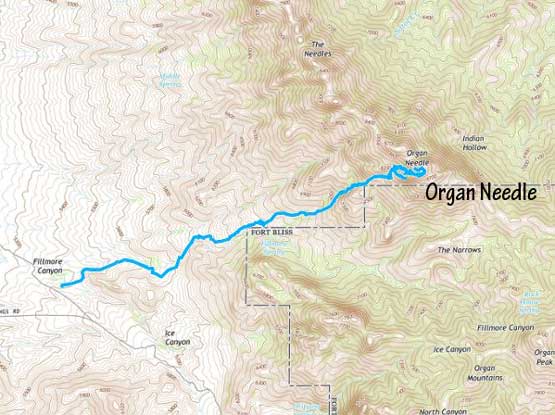
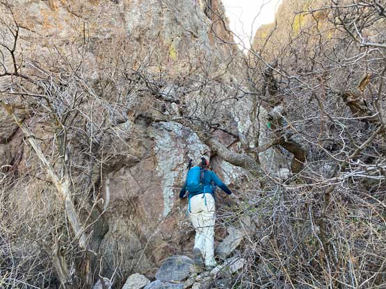
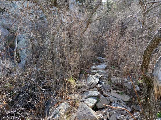
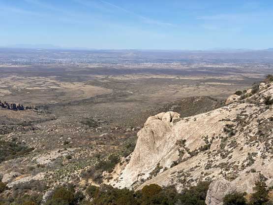
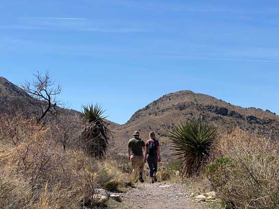
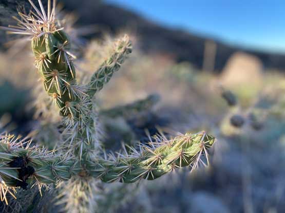
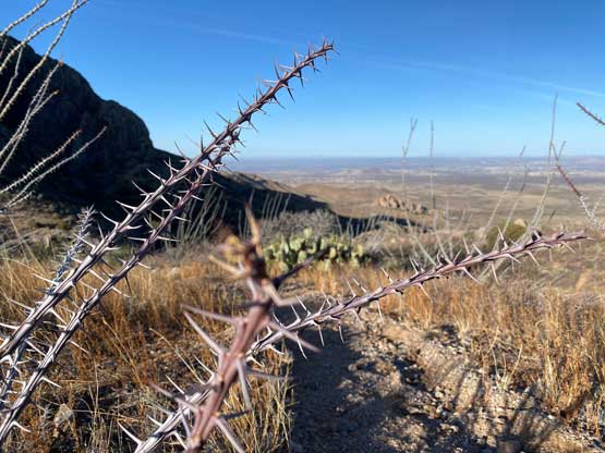
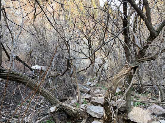
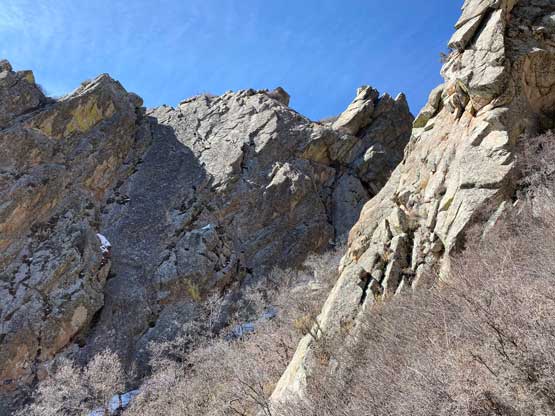
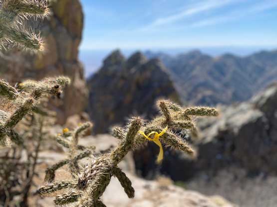
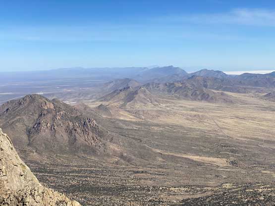
The first couple kilometers were on some easy trails but the quality of this trail degraded rapidly as I ascended elevation. The trail diverged at one point and I took a variation through a canyon. From there to under that “yellow rock” I had to constantly dodge the thorny brush and it’s next to impossible to not get stabbed a few times. Wearing long gaitors would be a smarter idea but I did not think about that. After the “yellow rock” I followed the trail crossing a bushy drainage and then caught up with the two hikers from Missouri. The trail from there onward towards Juniper Saddle was very steep and loose with less-defined sections. At times it felt more like “easy scrambling” than “hiking” but overall it did not take me long to reach that saddle where I took the first short break of the day.
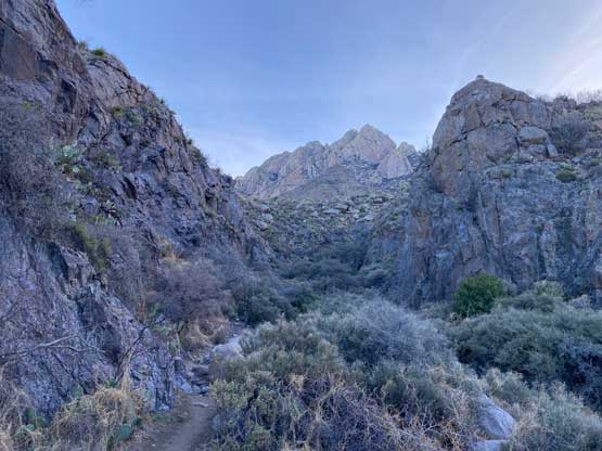
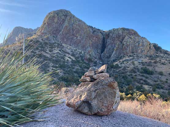


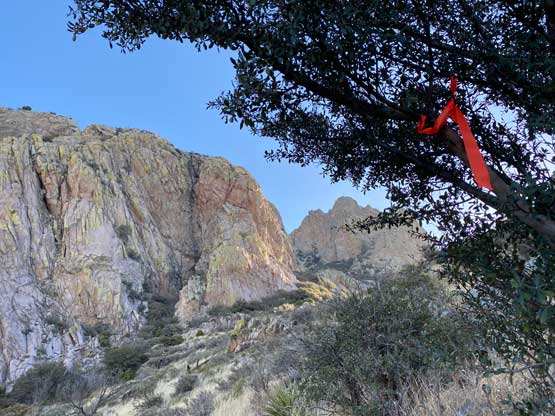
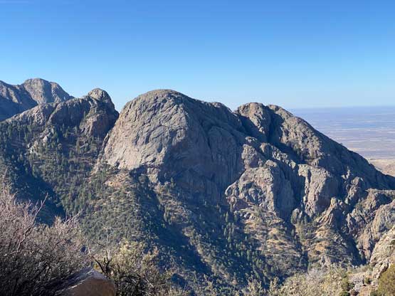
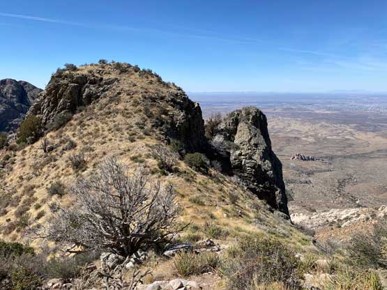
The trail was still generally easy to follow above the saddle but at around 2500 m zone I made a mistake by veering climber’s right too early. I was following a very well-defined path but about 10 minutes later the path started to become faint. I checked the GPS and realized the mistake, but stubbornly believed that this trail “must reconnect with the main one higher up”. I ended up wasting another 20 minutes to come to a conclusion that this “trail” would not lead me anywhere. I backtracked and found the correct path and in short while I arrived at the notch south of the summit.
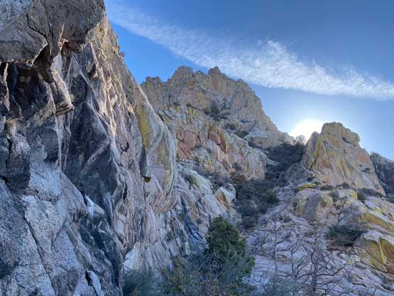
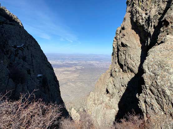
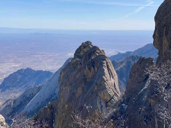
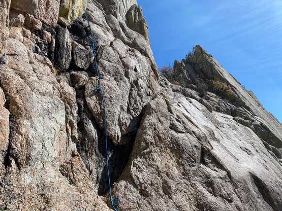
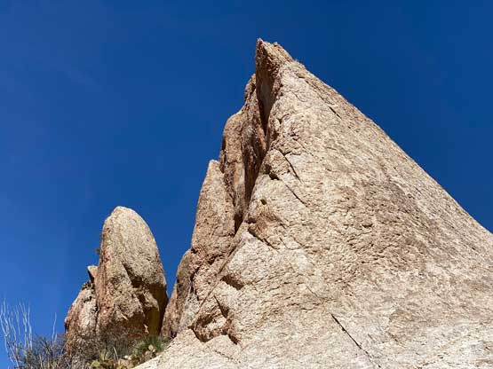
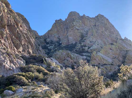
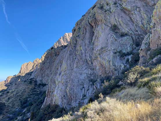
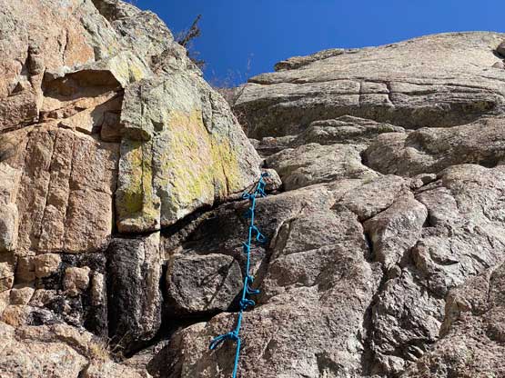
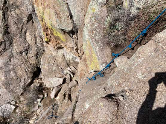
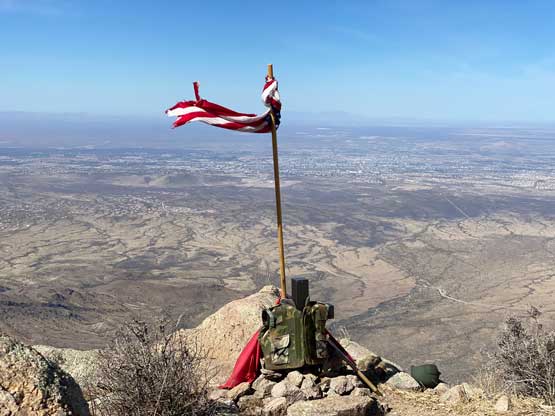
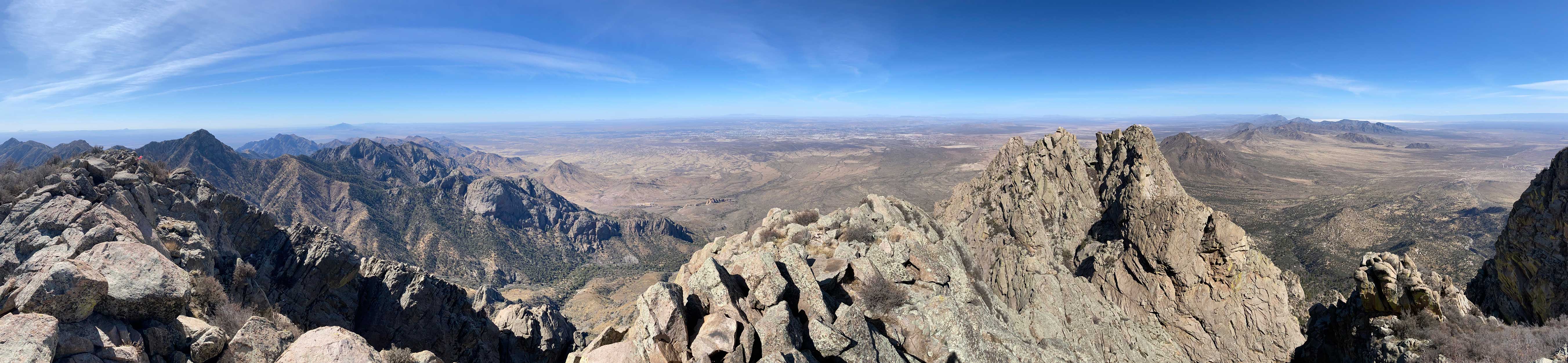
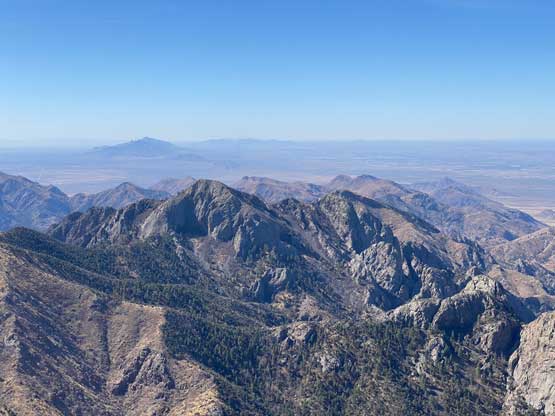
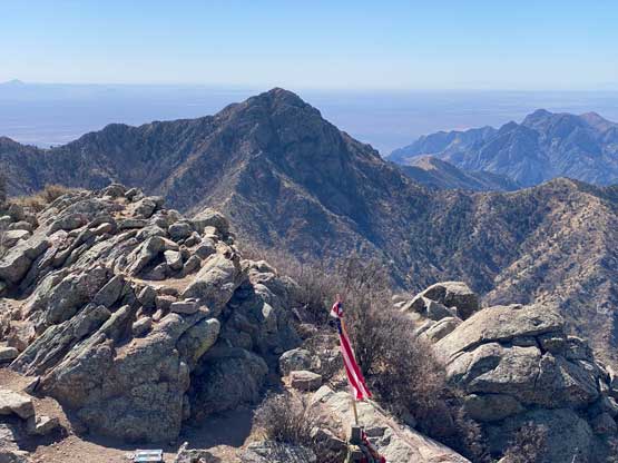
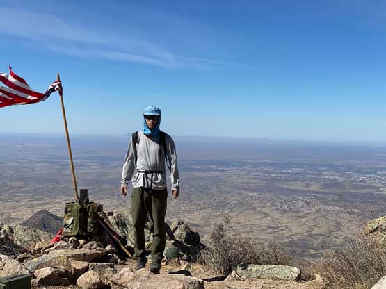
I followed the GPS track and the trail descending a short ways to the east side and correctly located the scramble route. The rope ladder had been dissembled but the blue fixed rope was still there. The crux looked easy enough that I refused to touch that rope (both up and down). There’s a perfect layback crack just to the right of the rope and I used that feature to climb up the step, which I would rate “class 4”. The rest of the scramble to the summit was rather trivial and the views were quite expansive.


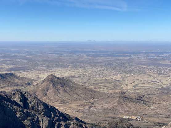

There’s not much point in lingering as I planned to hike another prominent peak later in the day. I easily down-climbed the crux and re-ascended back to that notch under the summit. While descending towards Juniper Saddle I crossed path again with the two hikers from Missouri. The rest of the descent was rather uneventful but I still had to pay close attention to that stretch of thorny brush. I do not think there’s a way to work around that section so wearing long pants is the absolute minimal. I opted to hike back through that canyon even though my downloaded GPS went elsewhere. I finished the hike at around noon and drove into the city of Las Cruces to find another luxurious Mexican restaurant for lunch. After lunch I would start the northwards drive towards Albuquerque but firstly I would tag Timber Mountain.