Red Mountain [South Chilcotins]
July 3, 2026
2442m
Gang Ranch / South Chilcotins, BC
This was the 5th “Red Mountain” that I had climbed over the career and this is definitely the most remote of them, buried deeply in the mountains of the South Chilcotins with no obvious way to access. Without a beefy 4×4 vehicle (Jeep Wrangler or equivalent) the easiest way of getting in from Vancouver & the Coast vicinity requires ~168 km of driving off the pavement one way from Clinton via Gang Ranch. Most of these FSRs are in some excellent shape but the distance broke my previous record in North America by a large margin. The only two deeper places that I had done worldwide were Mt. Kulal in northern Kenya and Ikh Ovoo in Mongolia not far from Xinjiang, China border. Well, this peak is nowhere as exotic, but by SWBC’s standard the driving access is a bit ridiculous. The ascent is however, a piece of cake by comparison. Honestly this is a trip mostly about driving and touring than hiking…
This was one of the remaining P600m objectives for me in the broader area and the goal of this trip was the P600m+ peaks so Adam and Frances were the unlucky ones to get sucked into the driving adventure. We combined this objective with “Nea Peak” to the south and the Plan A was to link them up via Mud Lakes. I expected those roads to be rough based on at least one YouTube video I had seen, but given the popularity of the area I thought maybe those guys just didn’t hit the roads in the right time. Well, I was definitely wrong. The Mud Lakes connector was for serious off-roading adventures even in the “right time”, and in the current muddy conditions it’s probably too much even for a Jeep Wrangler or a Tacoma truck. We didn’t even get far in a Subaru. We got some beta from the locals camping by the lakes and decided to turn around. This meant we would have to drive the long way around via Matt Juhasz’s route from Clinton, and getting to Clinton from Gold Bridge vicinity would take a couple hours. This was shaping up to be a long day. Adam thankfully was able to take over ~3 hours of driving but the rest would be all on myself.
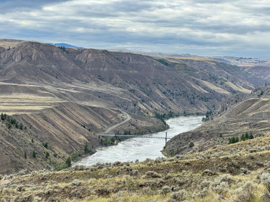
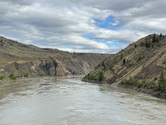
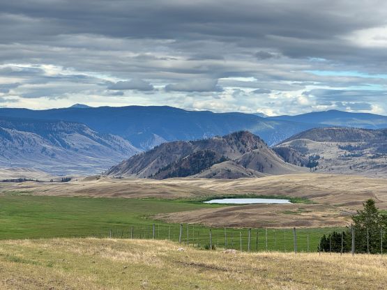
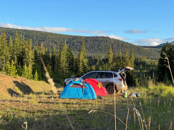
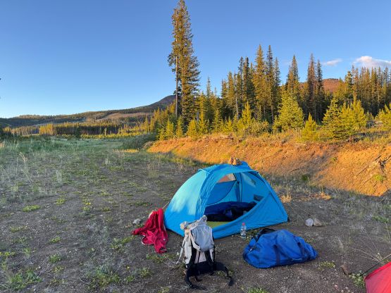
The rain was on and off during the entire day so I thought even the “easy driving” via Gang Ranch could be a bit more adventurous than we had hoped for. There was however, no obvious P600m+ objectives in the close vicinity to salvage the trip, so we must push. I turned on the GPS tracking since I was curious how deep this access was, as it’s definitely much longer than the nearby Black Dome Mtn. which was already quite a trip. The first 80 km of the FSR was Meadow Lake Road which led to a canyon descending to the Fraser River. Passing the metal bridge the roads were becoming quite muddy leading to Gang Ranch and our tires were spinning at times. Thankfully the muddy conditions didn’t last forever. We then drove west for a long ways before turning south onto the FSR coming down from the far north (Highway 20). Taking that way would significantly shorten the off-pavement driving but wouldn’t make any sense for our trip originated from Vancouver and vicinity. There were more muddy stretches with some large puddles but thankfully we were able to drive all the way in. The roads did become progressively smaller the farther we drove in. The spurs towards the end were becoming overgrown and the final kilometer to Matt’s starting point was deactivated so we parked and camped. There were lots of large grizzly footprints and the night was very cold in my -7C sleeping bag.


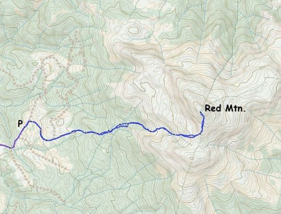
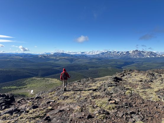
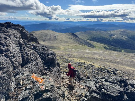
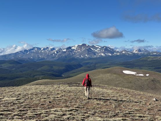
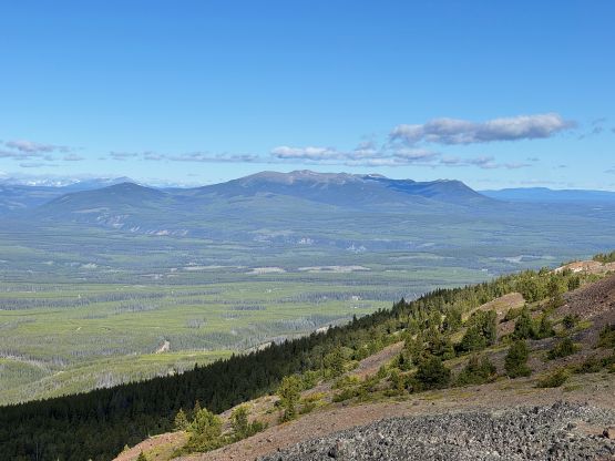
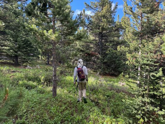
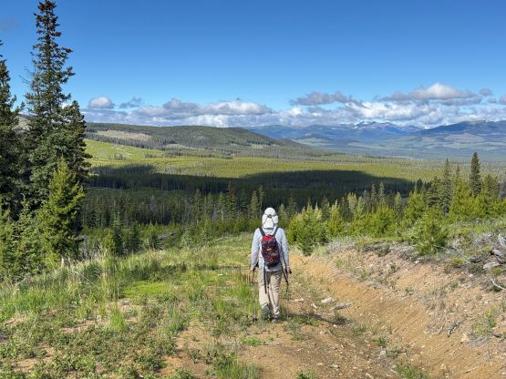
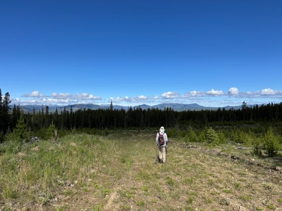
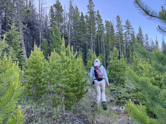
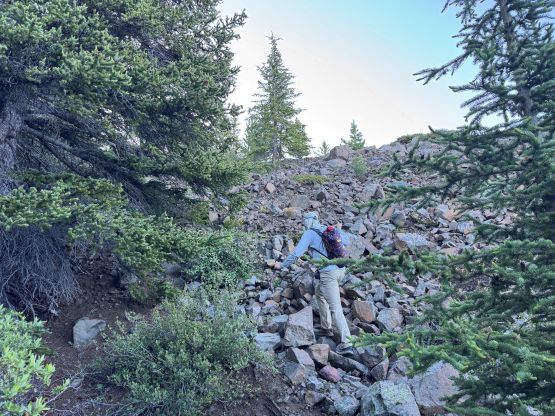
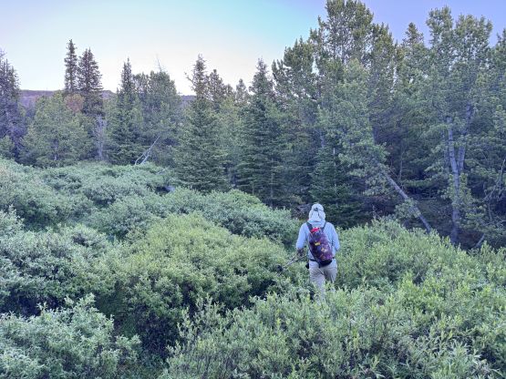
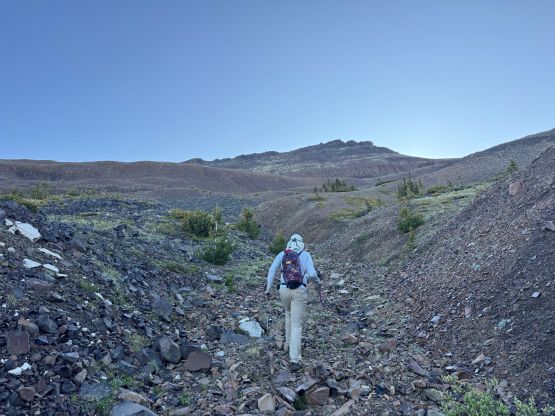
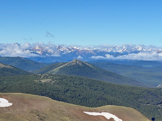
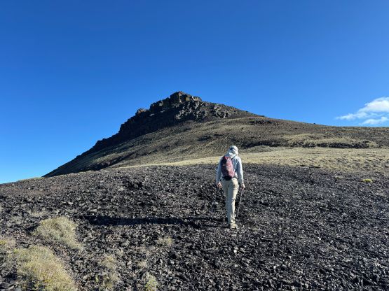
The next morning we woke up at 5 am again as the weather was supposed to be better in the morning. It was a bit difficult to get going in the cold but we just had to suck it up. Once starting the hike it wasn’t too bad. Plodding towards Matt’s starting point we quickly realized that he must had driven here in his snowmobile as the roads don’t even extend to the far side of that cut-block. Adam was taking the lead on this day and the plan was to stick to the GPX track. I thought that’d be unnecessary since Matt did it in winter on snow, but the route worked out perfectly for summer ascents as well. There were several annoying gullies to cross but the bushwhacking was quite minimal. Once in the alpine we easily plodded to the saddle on the far climber’s right and followed the south ridge to the summit. There’s one notable rock band that required maybe 1 or 2 hands-on moves and that’s it.





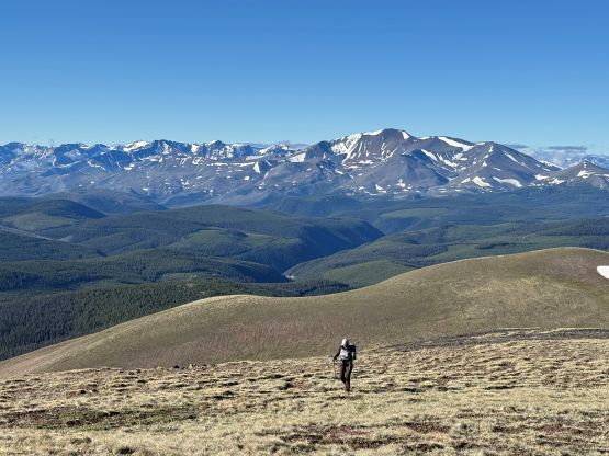
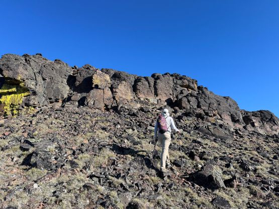
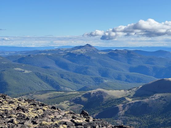
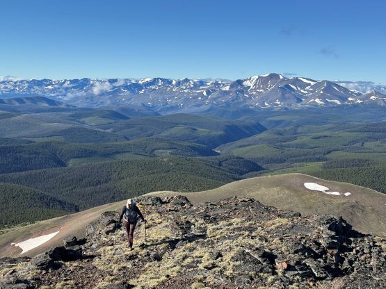
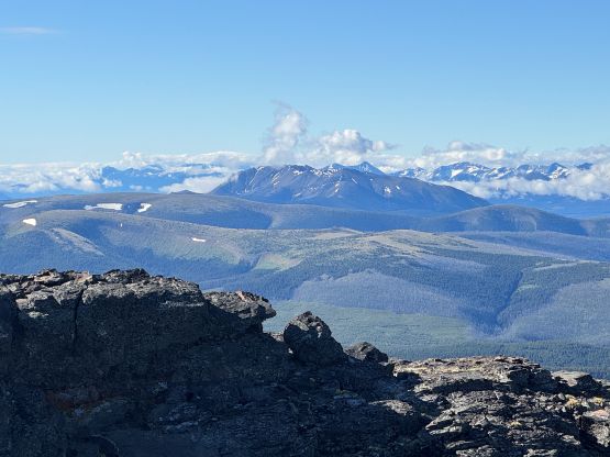
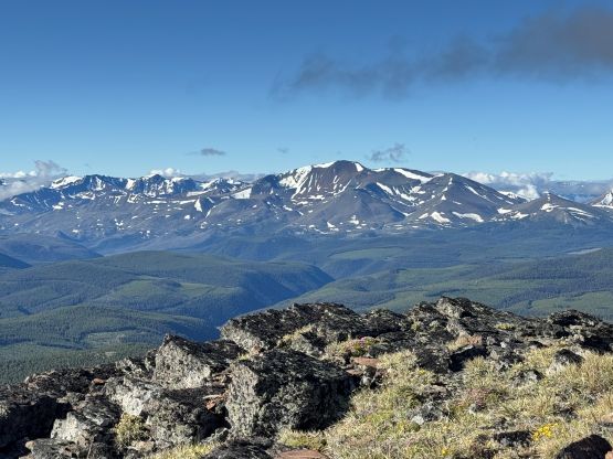
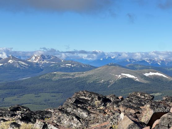
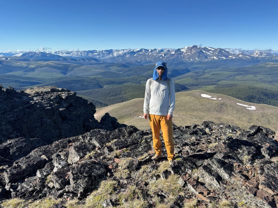
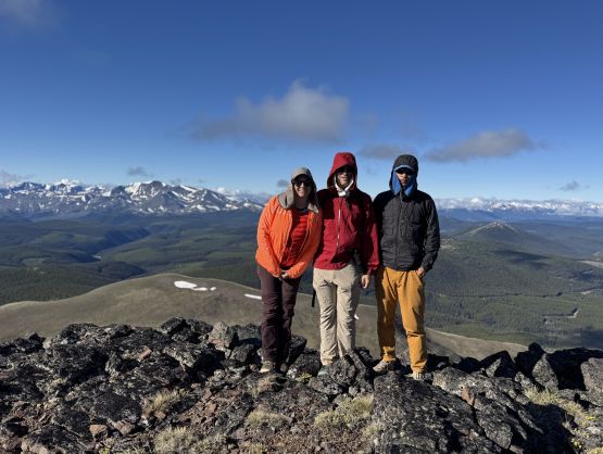
At this point I thought we should get another objective before driving back, and it made more sense to do something in the area as it’s very difficult to get in here. We took our time descending and the round trip time was 3.5 hours. I then drove us back to the mainline and then southwards towards the China Head connector. I thought perhaps we could make the full connection to Big Bar Ferry but first of all we had to check out if this road’s suitable for the Subaru or not. It turned out that the road was not Subaru friendly at all. Right at the start of the spur road going to the high country north of Poison Mtn. we came to an impasse for all vehicles but the beefiest ones. I then attempted to drive us closer towards Poison Mtn. by the paralleling road south of the main route, but only got a couple kilometers in. We didn’t even bring a chainsaw so two downed logs stopped us. This starting point was still far from the objective so Adam and Frances opted to sit in the vehicle to wait for me tagging Poison Mtn. alone.