Argonaut Peak
August 12, 2022
2576m
Leavenworth / Enchantments Area, WA
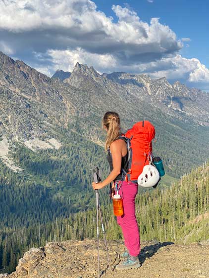
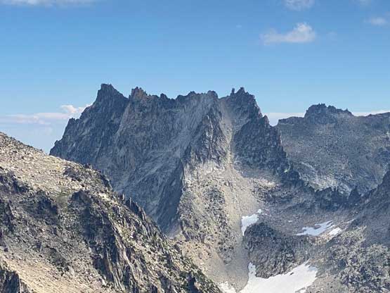
Argonaut Peak is one of the Bulgers in the range from Mt. Stuart to the Enchantments and is also one of the least sought-after in this group. There is an alpine route via the NW Arete but the standard route from the south side is rather unpleasant with a contrived approach. The standard route is also not to be treated lightly as the 4th class terrain near the summit often surprises unprepared scramblers with its difficulty. The best bet is to treat this “scramble route” as an easy alpine climb so to bring rock shoes, a 60 m rope along with a small rack. This way the climb is rather trivial.
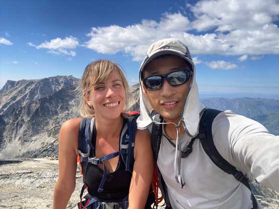
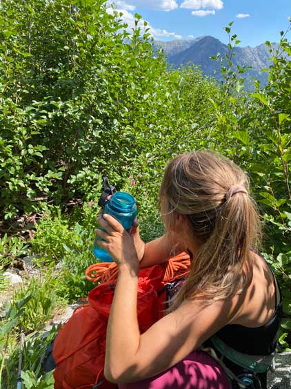
Elise and I made the spontaneous decision to ascend Argonaut Peak while climbing the west ridge of Sherpa Peak the day before. The problem was that none of us had done any research except that I had some vague memories from the few trip reports that I saw on Facebook years ago. My knowledge about Argonaut Peak was limited to the first paragraph so to make it happen we had to gather more information. On the summit of Sherpa Peak we were able to catch some cell services so Elise turned on her roaming (12 dollars per day) and gave me a hotspot. We then downloaded a bunch of GPS tracks from peakbagger.com. I did not bother to read their stories as the GPS track along with our route-finding abilities was more than sufficient to get the job done.

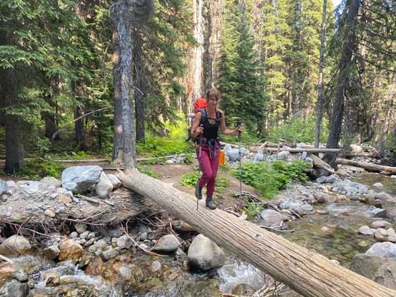
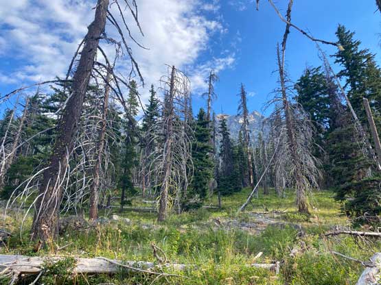
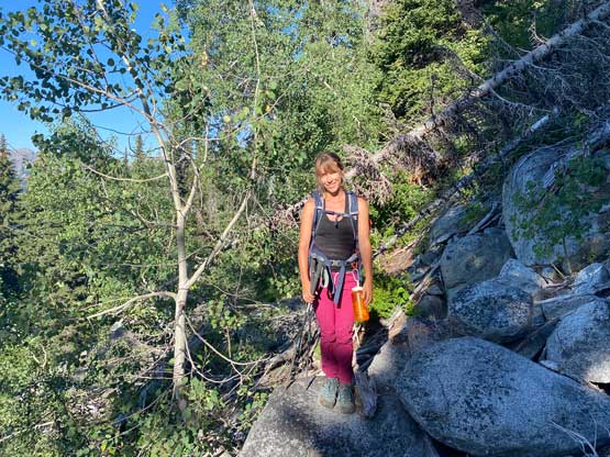
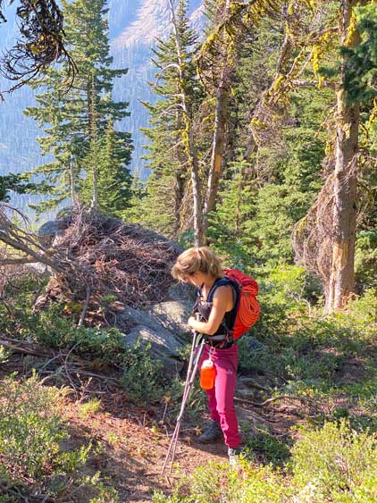
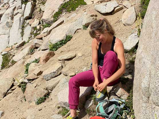
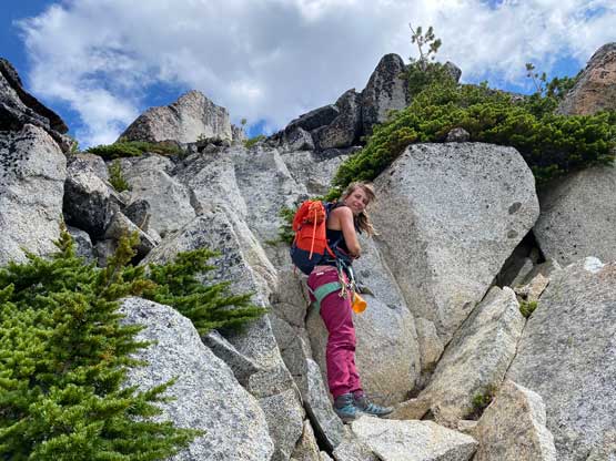
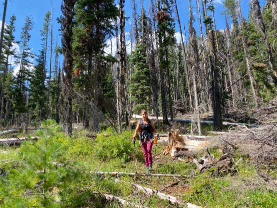
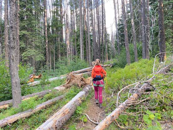
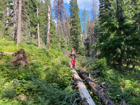
The ascent of Argonaut Peak started from Ingalls Creek trail after Sherpa Peak. We took our time to repack as we had to ditch all overnight gears along with half of the rock rack. I opted to carry my 20L summit pack for Argonaut Peak’s ascent and that further meant Elise would have to carry the 60 m rope (thank you) and I had to wear the harness with the water bottle, some of the rack as well as my mountaineering boots all dangling outside on the harness. I opted to wear the trail-runners as the 2.5 km trail approach seemed too long for the boots. The trail was easy to follow, but not in its best shape with a shit ton of blowdowns. We also lost about 150 m elevation in this stretch and that meant we would have to gain the lost elevation later in the day in addition to the massive slog fest back up to Longs Pass.


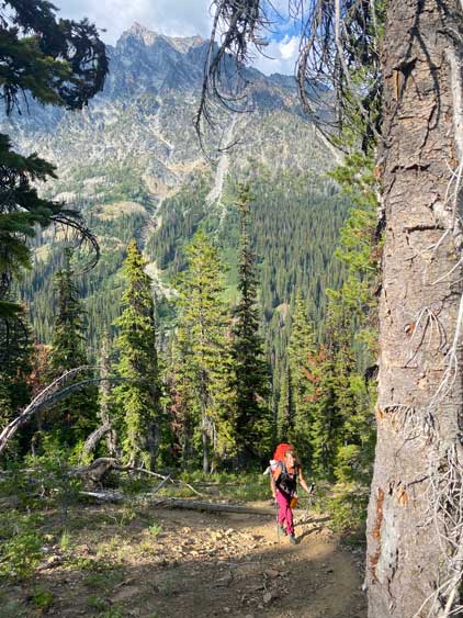
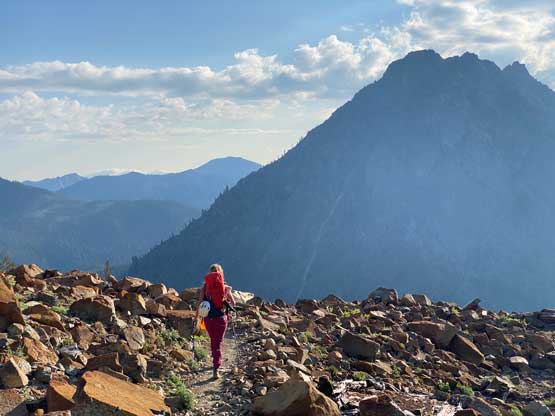
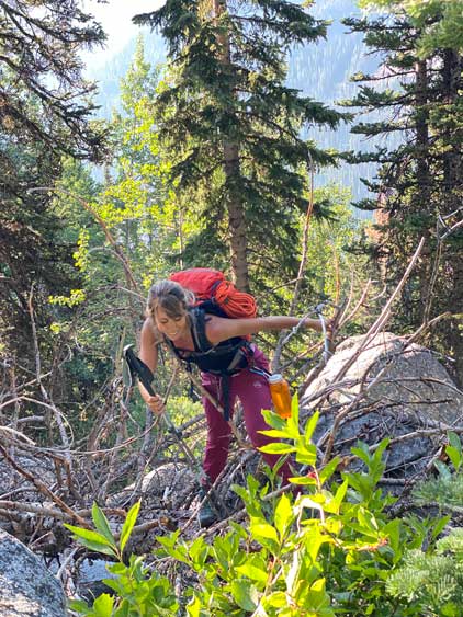
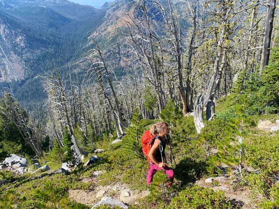
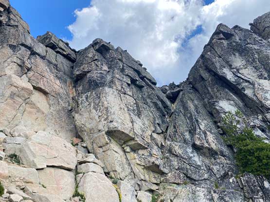
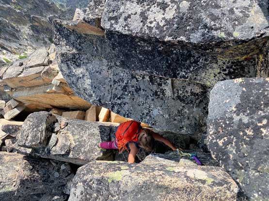
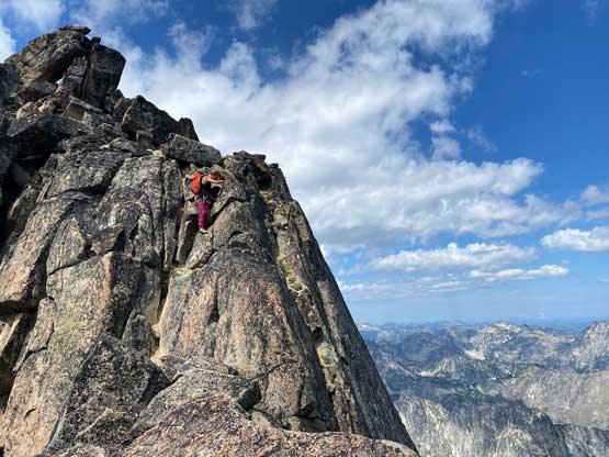
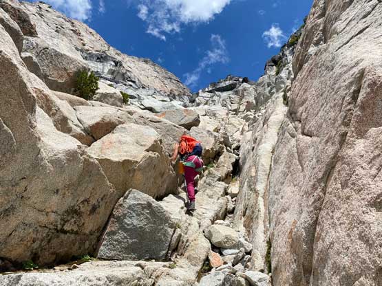
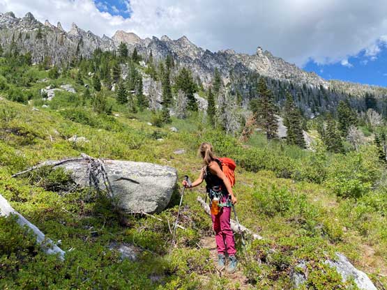
The climber’s path on Argonaut Peak is much less defined than the one of Sherpa Peak that this ascent was rather a bushwhacking fest. There was no clue whatsoever of a “trail” so we dashed directly into the forest following the GPS track after I swapped footwear back to mountaineering boots. A while of bushwhacking later we picked up the path but this one was rather difficult to follow and there was often bushwhacking over pick-up-sticks involved. The air was again, smoking hot but the dense forest did provide sufficient shades. In short words, this approach sucked. At around 1700 m elevation we came to a cairn which indicated that we should cross the drainage to the east side (running water available). After that we were still able to follow the path, but the heather slopes of extreme steepness were far from pleasant. Another rightwards ascending traverse followed at around 2000 m elevation and then we were in the central south face gully where the scrambling officially started. Elise later named this gully “cat shit gully” and I would agree.


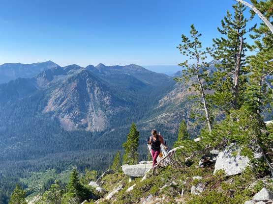
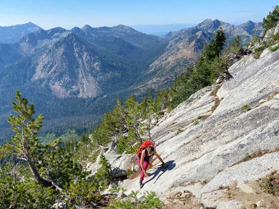
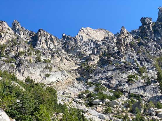
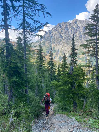
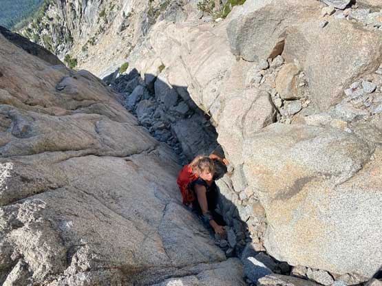
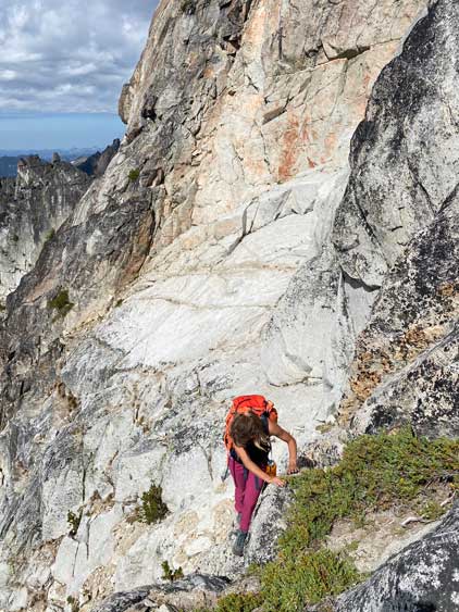
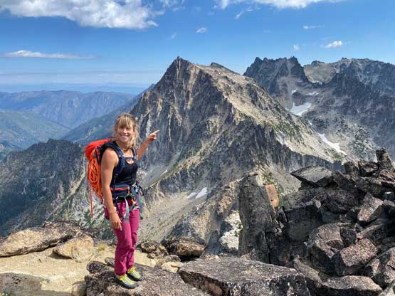
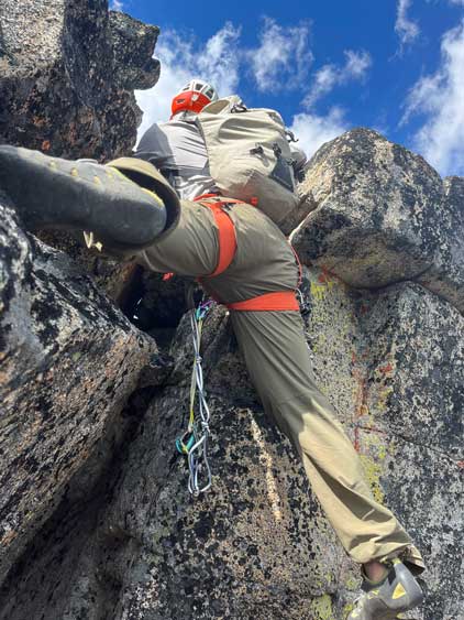
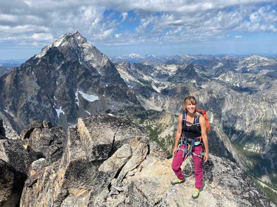
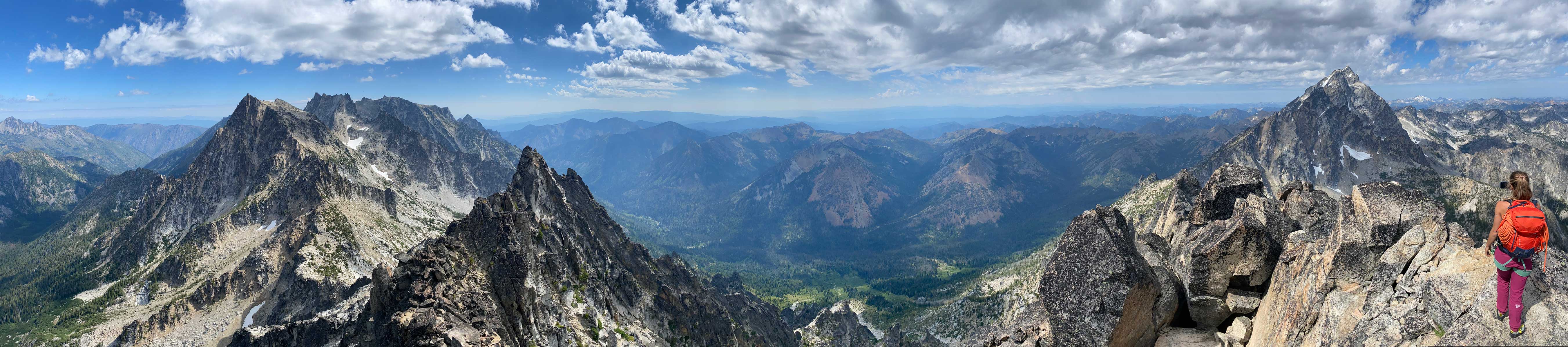
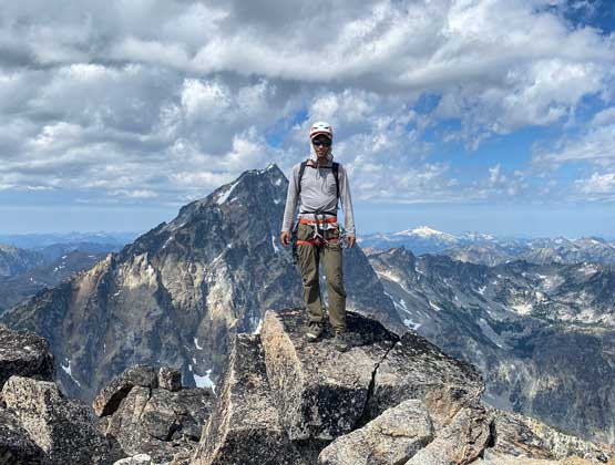
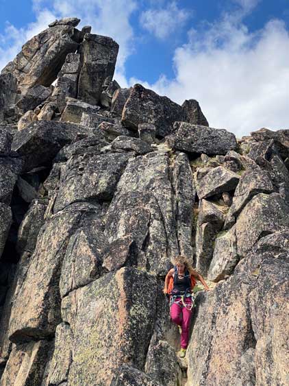
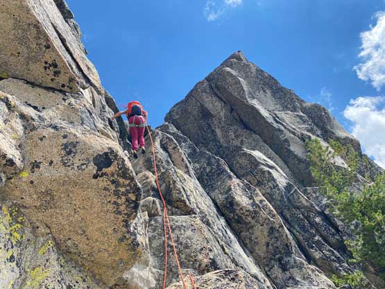
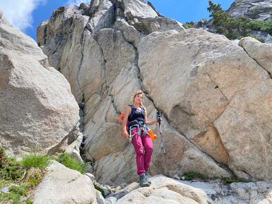
The gully was not particularly difficult but very tedious with lots of loose rocks and the overall tone was rather monotonous. It was already a massive slog fest to get up here and we had to slog another 400 vertical meters up. Thankfully the higher we ascended the more “interesting” the terrain became. We on-purposely climbed a few harder steps just to make it more variable and there were also some shady spots to provide relief from the heat. We followed the gully all the way to the base of the gigantic south face slabs, trended right and located the 4th class chute leading onto the summit ridge. I could see a rappel anchor up high so made the call to switch to rock shoes. The chute didn’t look particularly difficult so to save time we just soloed it. The final scramble to the summit was rather fun, but too short. I’m not sure what would be the easiest way but we just climbed the spine of the rocks with a few hard moves near the top that I put in a .5 cam to give us an extra bit of protection.

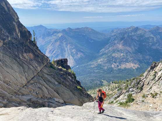


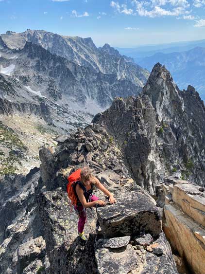


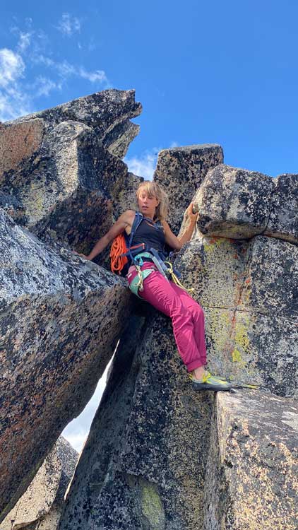
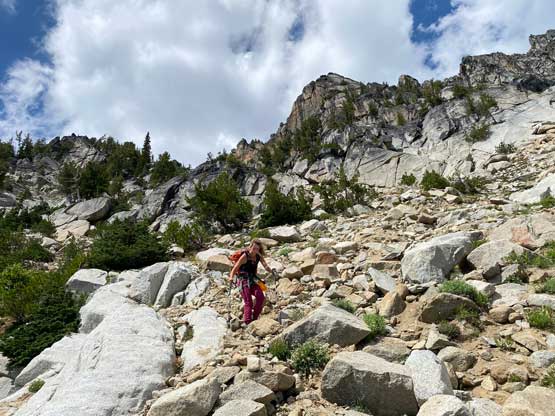
We then carefully down-climbed the summit block and made one rappel using the existing anchor to get down to where we stashed the boots. Unfortunately that’s the only fun part of this route. Descending the 400+ meters of “cat shit gully” sucked but we must face it. Elise’s strategy was to break this descent into stages and this gully was the first stage. I agreed with her thinking. The second stage was that descending traverse onto the heather rib, which was then descended to the key cairn. The rest of the descent involved a great deal of bushwhacking and consistent checking of GPS to make sure we weren’t off-track. If I didn’t have Elise here I would have definitely sworn about this peak 100 times but I did not. The terrain sucked but the company was fun. And then there came the 2.5 km trail with dead-falls and 150 m of elevation regain. Elise had lost her helmet earlier in the day along this trail and thankfully we were able to pick it up on the return hike.


We took another massive break at the base of Sherpa Peak to repack our gears. Both of our packs needed to be completely repacked so that took a while. We then continued slogging up the trail to Longs Pass junction. The original plan was to take another break there loading up water bottles but we decided to just commit to the 450-m regain and push the hell out of this place in one shot. I had already climbed Ingalls Peak, Mt. Stuart, Sherpa Peak and Argonaut Peak so this approach would not see me again. The re-climb was actually not too bad and the views from Longs Pass was quite good. We then dashed down the trail, losing 600 m elevation in 45 minutes following Elise’s lead. We mostly jogged the lower half of this trip (yes, with heavy overnight packs) and finished the trip at 6 pm. We then drove to Cle Elum and found a great local restaurant for food. The original plan was to scramble White Chuck Mountain on the 3rd day of this trip but the forecast was not looking too promising. We were both exhausted anyway so the new decision was to push the drive back home in one shot. Elise had to take over the drive for a short stretch and we eventually got back to White Rock at 1 am in the morning.