Hilda Peak
August 17, 2026
3058m
Icefield Parkway, AB
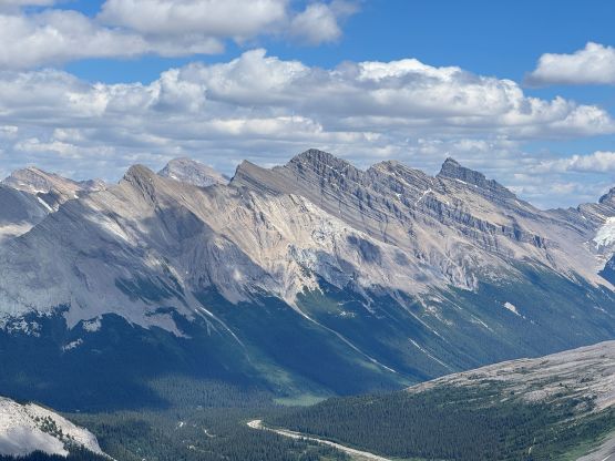
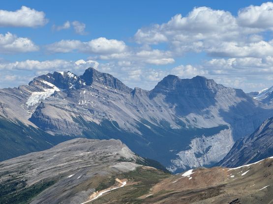
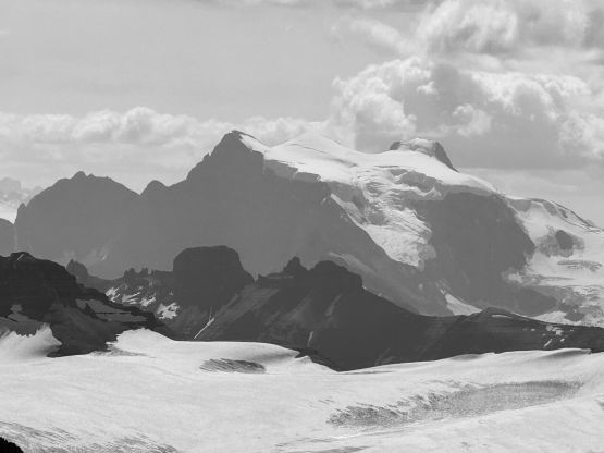
“Hilda Peak” is also known as “A3” and is one of the satellite peaks of Mt. Athabasca, but this one does boast over 100 m prominence to qualify as an independent summit. “Hilda Peak” has an iconic profile viewing from the highway especially driving south to north towards the Icefields Center but there wasn’t a shit ton of “beta” out there. My curiosity originated from 15 years ago and at the time we were still debating if this could be done as a “scramble” or not. I never dared to attempt because I was never a fan of uncertainties and I wanted to focus on trips with “sure outcomes”. A few trip reports, mostly on Facebook groups popped out in the past decade, that it can be concluded that even the easiest possible way requires several pitches of low 5th class climbing, but climbers and/or bold scramblers could possibly get by without a rope. Those said trip reports lack the searchability and the extreme detailedness so in my opinion this objective hadn’t been fully “figured out” yet on the internet, until I came to do it.
This was the 2nd day of the week-long peakbagging mission in the Rockies and Erica and I wanted something short but still technical. We were tired from the 11-hour push on Mt. Fifi in the previous day and we had Farnham Tower booked for the few days afterwards. We drove to the trail-head in the previous evening and slept in the back of the vehicle. We didn’t even bother to set up an alarm as the weather was supposed to be great all day. The trail-head itself was confusing since I couldn’t find a GPX track for this objective, and the trail marked on Gaia turned out to be misleading.
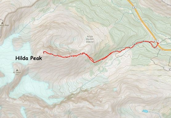
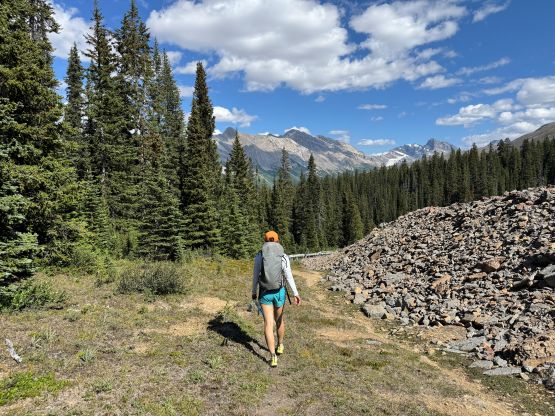
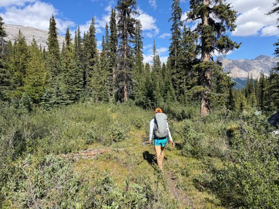
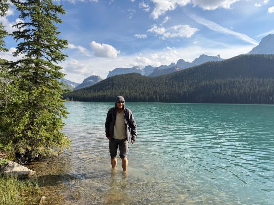
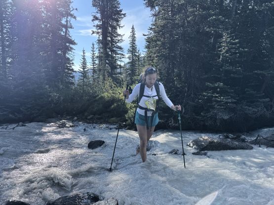
The next morning we got up at around 8 am and started leisurely an hour later. We followed the trail marked on Gaia’s map and that brought us to the deserted Hilda Creek Hostel. It didn’t seem like to be operating in the summer but one local was there chopping wood with his truck and gave us some words. I had taken the Gaia’s trail for granted and sure enough, the bridge crossing Hilda Creek was out and the creek would require a painful barefoot ford. The correct way would be staying entirely on the north side of this creek completely ignoring the hostel, which we discovered on the return. In any case we took our shoes off and forded the creek. We picked up the trail on the other side and followed it a ways into the valley between “Hilda Peak” and Parker Ridge. The trail extended far beyond what’s shown on the Gaia map and in fact, bushwhacking wouldn’t be needed at all.
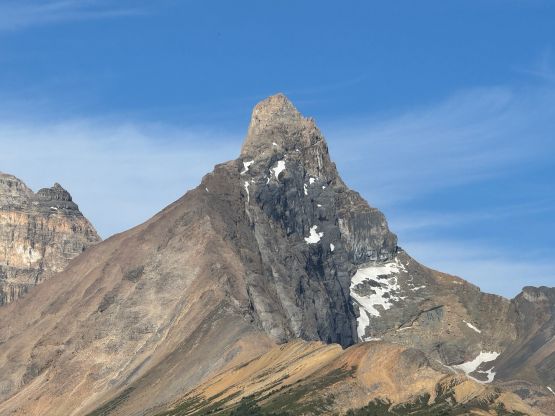
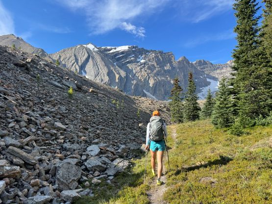
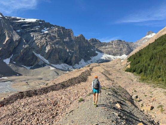
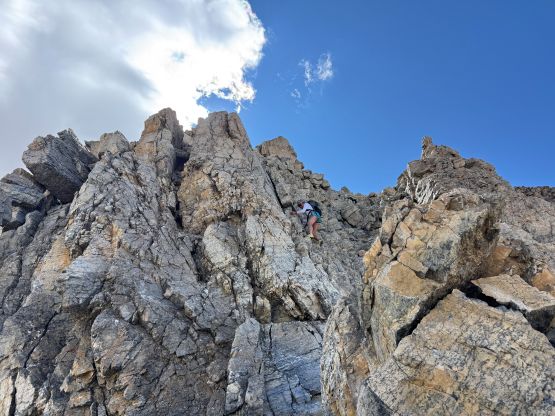
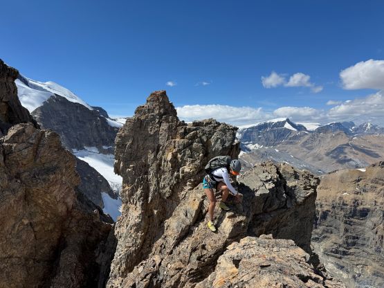
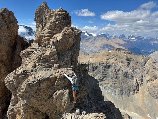
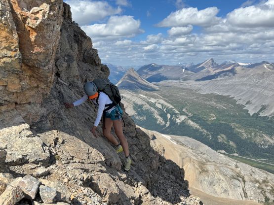
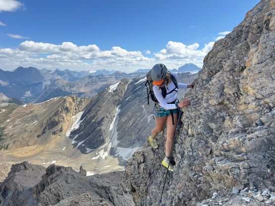
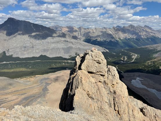
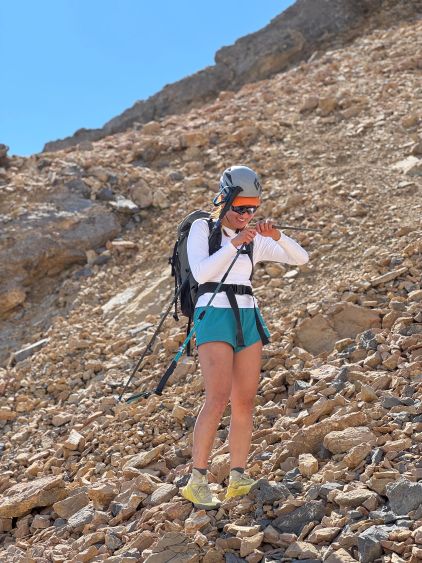
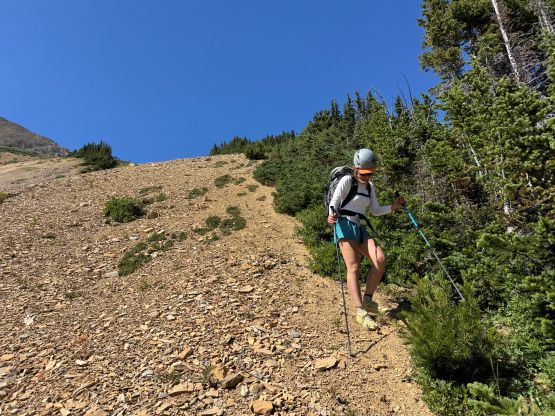
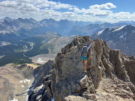
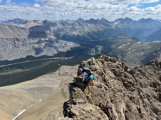
We stayed in this valley for as far as it made sense and eventually bashed up some compact scree to gain the ridge which some refer as “Hilda Ridge”. This section was optimized on the return to avoid the compact choss. I had actually been to this spot back in 2012 in an ACC’s “Intro to Winter Mountaineering” course or something like that. The description for the rest of the route was as basic as “following the ridge” so we were basically on our own. The route-finding was more complicated than I thought. At some point the grade ramped up to “3rd class” with some exposure so we left one trekking pole behind and ditched some gear. We scrambled up and over this first pinnacle but the down-climbing on the backside was a tad spicy, but that entailed what’s coming up later. This pinnacle could be entirely bypassed by detouring on the left but if one has trouble in this section then I would suggest turning around anyway.
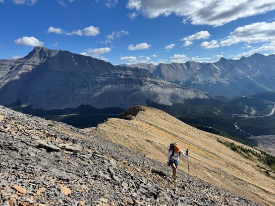
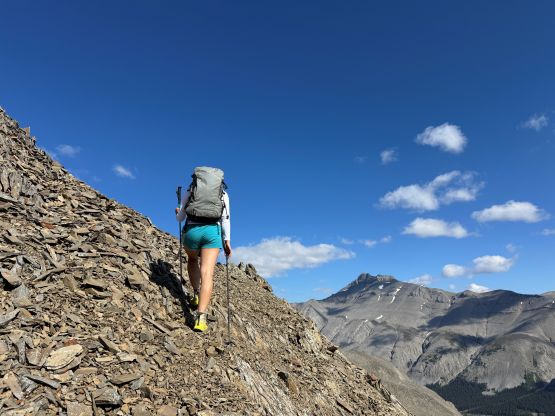
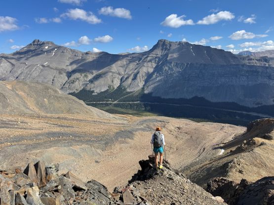
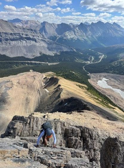
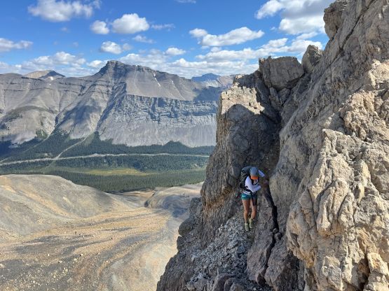
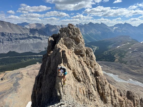
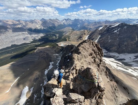
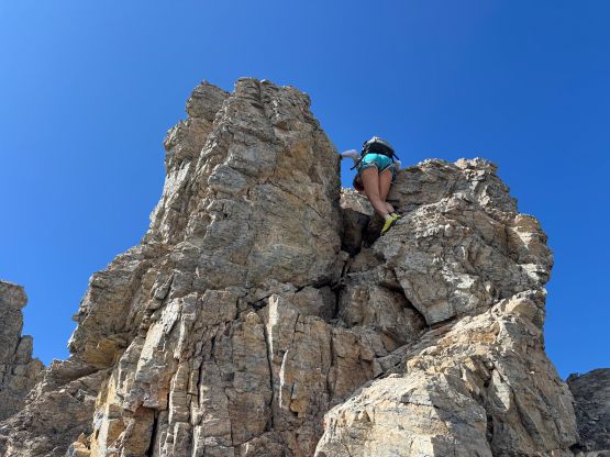
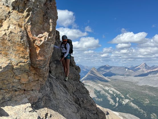
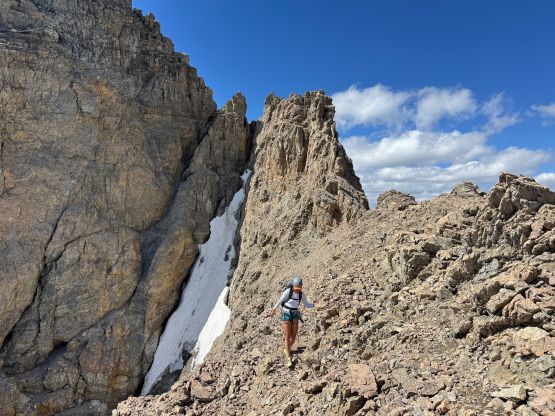
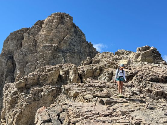
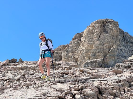
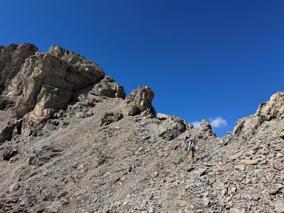
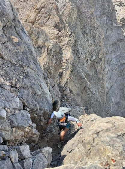
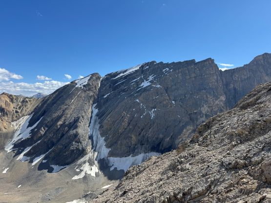
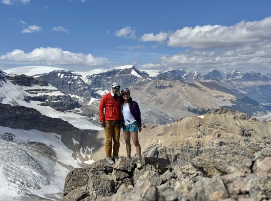
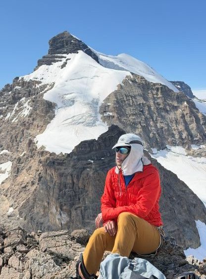
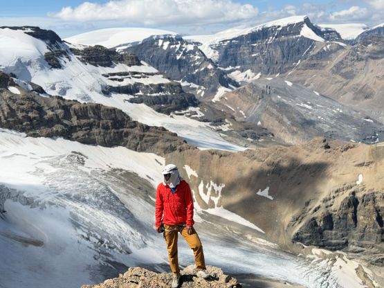
It was good that we had brought the second trekking poles over this pinnacle as the terrain was class 2 for a long section afterwards. I made that decision by checking the GPS and realized how far we were still from the summit. The route follows the ridge but we rarely stayed exactly on the crest of the ridge. A few jagged sections were bypassed by scrambling up ledges and ramps on the south (left) side. And then there came the summit block so we ditched our second trekking poles. As I discovered AFTER the trip, Devan Peterson had used a gully system on the south side to bypass the pinnacles section. I thought about that as well upon inspecting in situ but disliked the snow and the chossiness of that gully, so climbed up and over those pinnacles instead. The climbing was easier than appeared. Then we traversed climber’s right onto some exposed and compact dirt to bypass the 5th class pitch straight up the “nose”. The compact dirt wasn’t any easier so we traversed back onto the “nose” and climbed the upper part of that pitch. Another pitch of 4th class later we were on the summit. The climbing was definitely easier than Mt. Fifi overall and parts of this route seemed to have seen some recent traffic. In fact, it’s guided quite often.
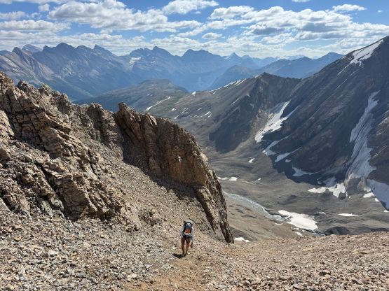
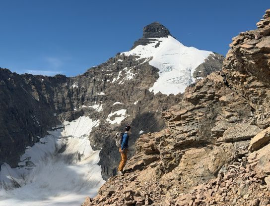
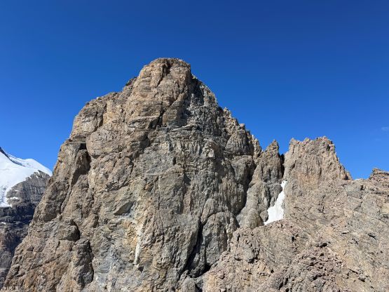
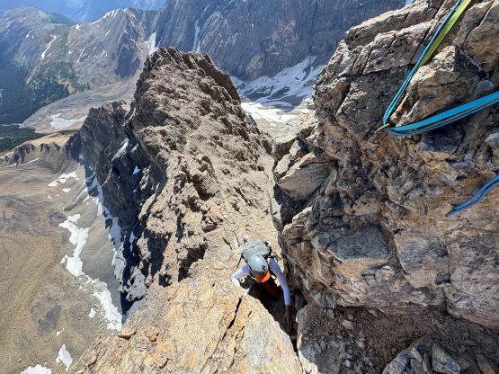
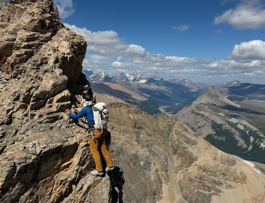
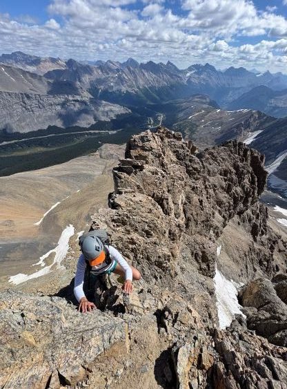
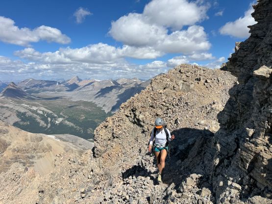
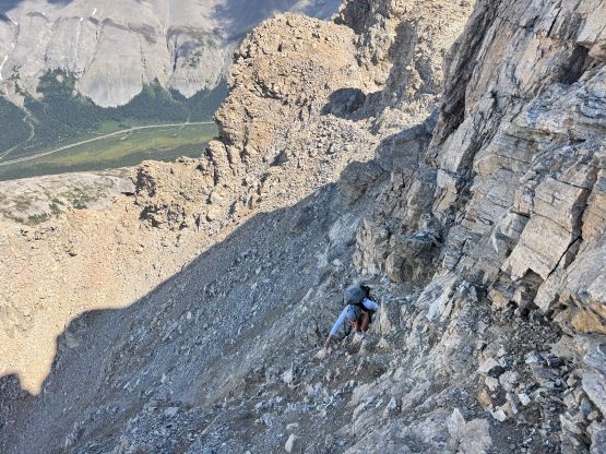
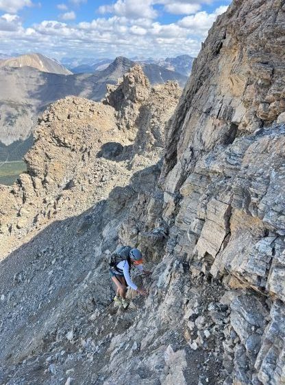
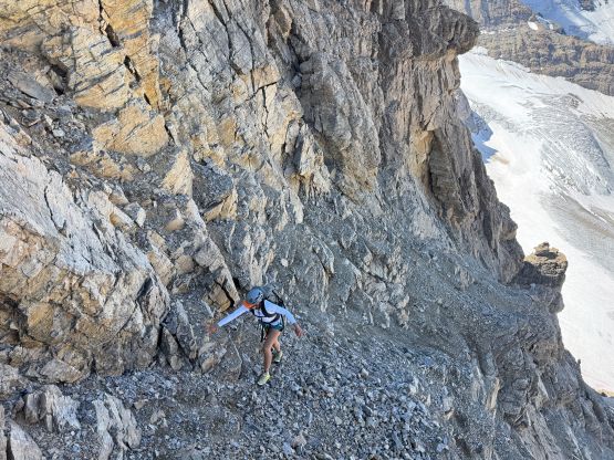
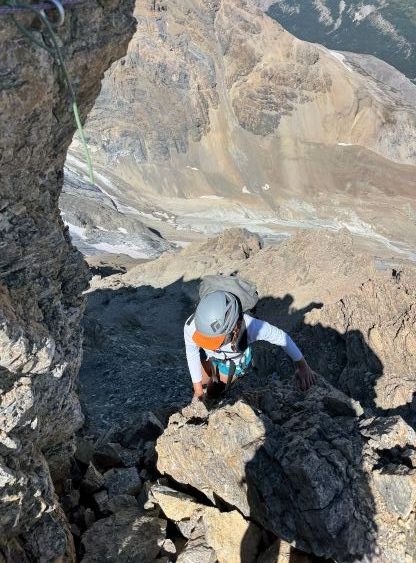
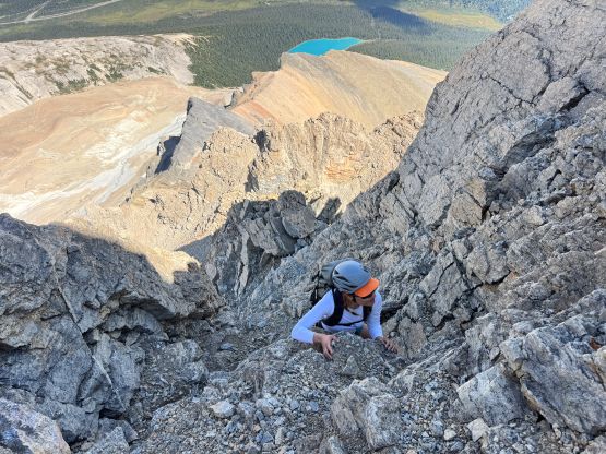
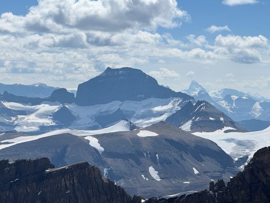
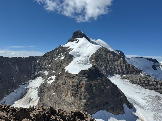
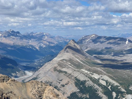
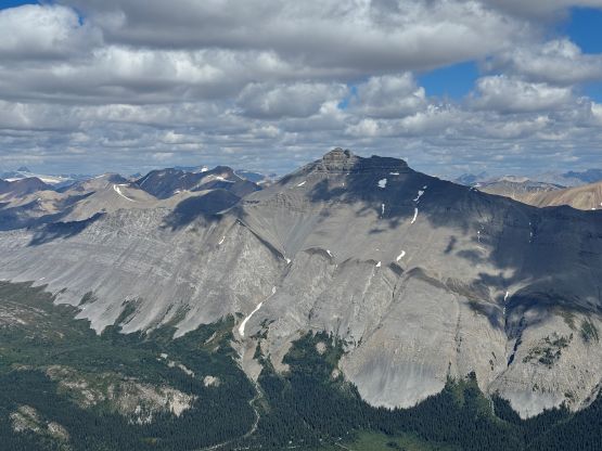
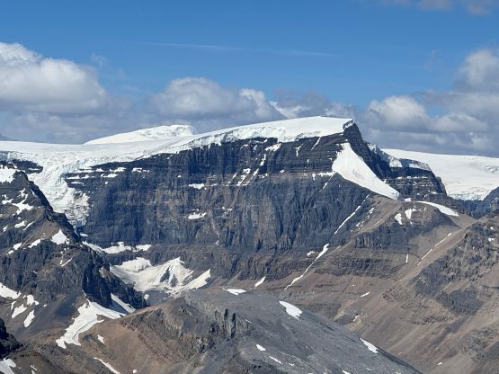
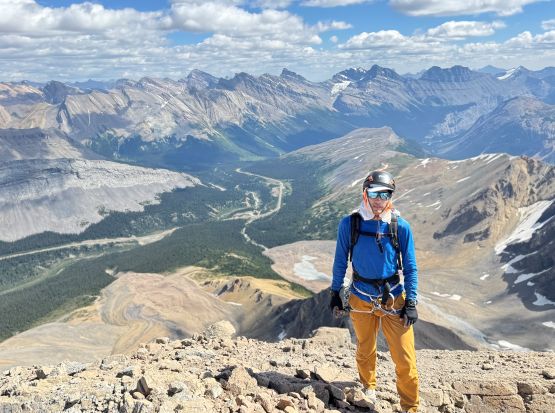
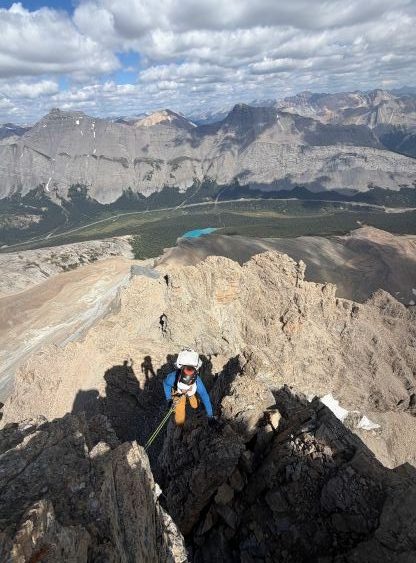
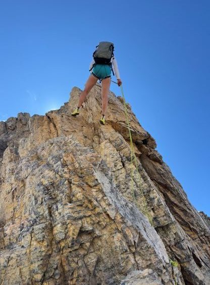
Eventually we had to get down this mountain. The decision was to down-climb as much as we wanted to so we down-climbed the upper 4th class pitch as well as a good chuck of the “nose”, until I spotted a bomber rappelling station. I wasn’t sure if a 50 m rope would be sufficient but at least there’s an intermediate anchor so I wouldn’t be too concerned. It turned out that one 50 m rope was (barely) enough to get us all the way down the “nose” pitch. We then scrambled back across the pinnacles ridge and down-climbed another 5th class step before reversing all of the “difficult scrambling” terrain lower down. One rappel was all we did but most parties would probably need 2 or 3 rappels. It’s most likely harder than you might think. Our round trip time was over 6.5 hours which was a tad bit longer than expected, but this was still the “short day” that we were looking for. We spent the rest of the day driving to Golden, took a shower (not golden shower) and then settled for one of the campgrounds near Kicking Horse.