Farnham Tower and Mount Atlung
August 18-20, 2026
3387m
Radium Hot Springs, BC
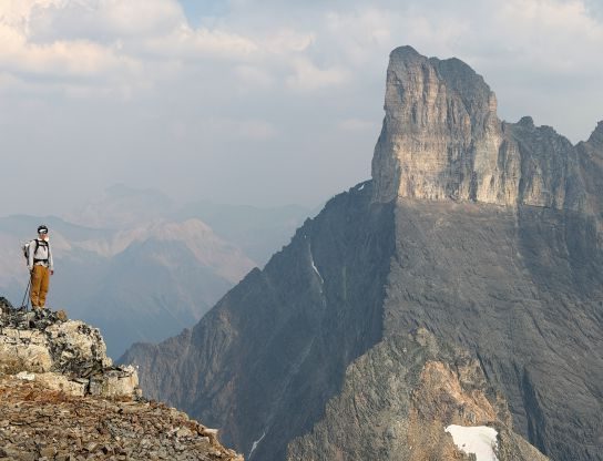
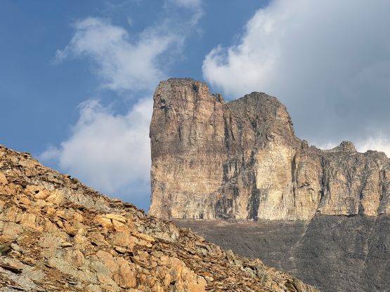
Farnham Tower boasts over 100 m prominence on the north ridge extension of Mt. Farnham and is extremely visible and iconic. This is also one of the 15 ish 11,000ers in the Columbia Mountains of the interior British Columbia and a glance of the tower would not suggest the existence of an “easy” route to the summit. For over a decade I thought this was one of those summits only for the elite alpinists but I was aware of 2 or 3 ascents, one of which was done by Rafal K. from the Rockies. The “beta” about the standard route on the internet was scarce to say the least but the general consensus was the climb could go at 5.6 but the approach to the base of the climb could be scarier than the climb itself. There had been no detailed account whatsoever. Fast forward to 2026 the Purcells guidebook by David P. Jones finally came out which partially resolved the mystery, but a guidebook description is still far from “detailed” by this modern era’s standard. We needed a trip report and that’s honestly why I was very keen on it.
There finally came the week-long trip between Erica and myself and I was originally thinking to plan the trip around the 11,000ers Mt. Farnham and Mt. Hammond as those would be in the prime shape by the second half of August. Mt. Farnham is also one of the peaks of the southern B.C. that boast over 1500 m prominence and because of that I had always wanted to climb it, for over a decade but more in the recent few years. Erica however, wasn’t super keen on Mt. Farnham since it’s mostly just a scramble with a few 5th class moves here and there. Instead, Erica convinced me to try Farnham Tower instead, but on hindsight I actually don’t think the tower would be that much harder than Mt. Farnham itself. The grade 5.6 seemed inflated and we could have soloed everything if we wanted to, but more on that later. I convinced Steven Noel from Lethbridge to join as it’s simply a cool idea for Erica to do a Purcell 11,000er with two of the Canadian Rockies 11,000ers finishers. Steven N. and I decided together that we might as well include Mt. Atlung to make this a 3-day trip. There’s hardly any “beta” about Mt. Atlung besides the one paragraph of description in the guidebook, but it doesn’t sound complicated and we definitely could figure it out ourselves.
The first day was to simply make the 3-hour approach to the alpine tarn in the basin surrounded by Mt. Hammond, Farnham Tower and Mt. Atlung and because of that we didn’t have to start too early. Erica and I essentially had a rest day here as we were still recovering from the 11-hour push on Mt. Fifi two days prior. Steven N. had a long drive and we decided to meet in Radium at around 3:30 pm. We then piled into my Subaru and I drove us an hour to the trail-head. This drive (up the Horsechief FSR) had become increasingly familiar for Erica and I since it was already our 3rd time doing it. Steven had brought his chicken wires so we properly wrapped the vehicle around. In the previous trip (Jumbo, Karnak and Commander) we knew from another party that the porcupines could definitely come out at night in this valley so I felt much better to have the extra protection. To our surprise there’s another vehicle parked at the trail-head and there’s also a Purcells guidebook on the passenger seat. Running into another party on a choss bastard like Farnham Tower would far from ideal and I was already talking to Steven and Erica about how I bumped into Blair P. and Jim E. on the high bivy on Mt. Alberta almost a decade ago. Sure enough it was them again.
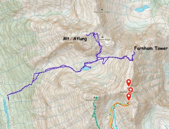
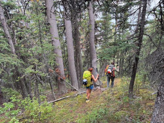
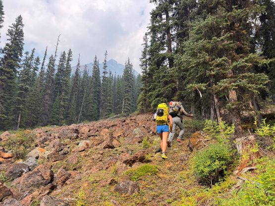
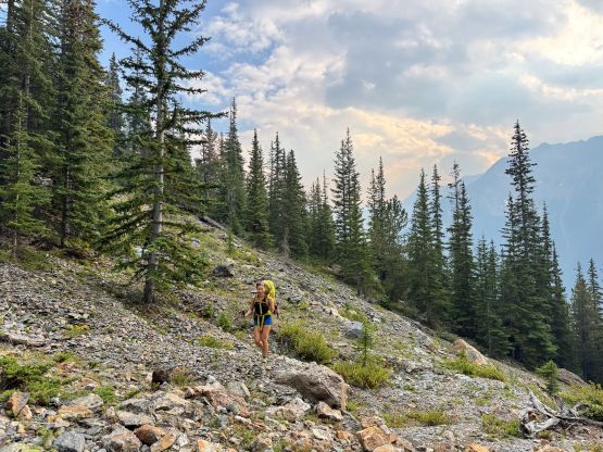
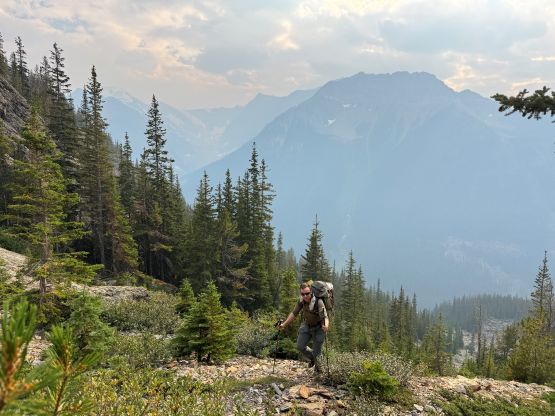
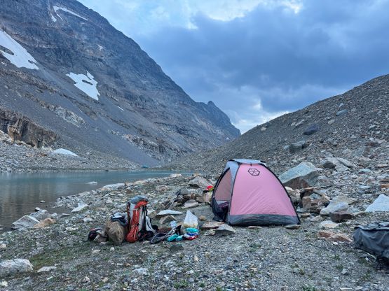
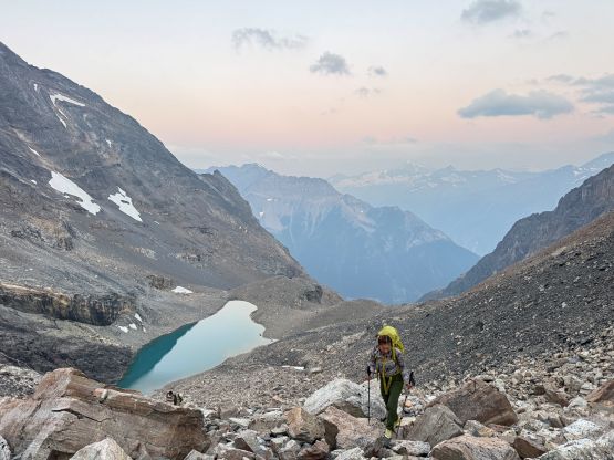
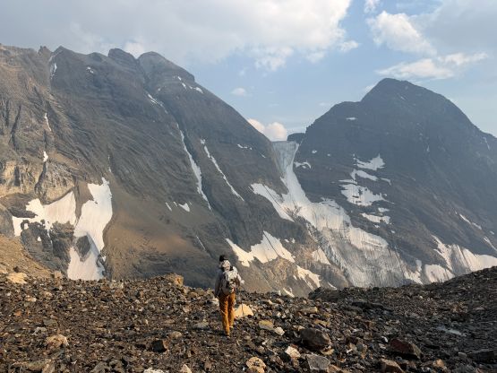
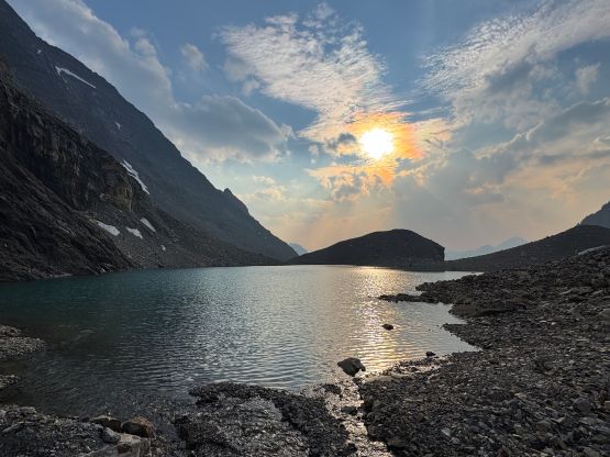
This time the trail was actually very correctly marked on the Gaia map and the trail quality also exceeded my expectation. The rumour was that David P. Jones himself came in the spring and did some trail work, so thank him for doing that. The afternoon was hot and humid so we didn’t cruise up as quickly as we had hoped for. At around 2000 m elevation we should have followed the cairns to do a hard leftwards traverse into the “bowl” but instead, we ascended higher and had to deal with some bushwhacking in krummholz. The bushwhacking was nothing major by BC’s standards, though. There’s no more trail but the route-finding was obvious. We simply had to plod up the foreshortened valley on nothing but talus and rubble, and then trend right to the alpine tarn. This lake was actually quite sizeable but the outflow was likely underground, so there’s no running water except for on the far side. We found the other party’s tent and they sure looked like climbers, but we couldn’t find the climbers themselves. We wondered around the lake to search for another camping spot and eventually settled on the north shore. We did traverse all the way to the far eastern end to scout things out but also to load up the water bottles as there were several running streams there. After coming back we spotted the climbers descending from a local knoll so we went to have a talk (and possibly make a plan), and there we go they were Blair and Jim. They had abandoned the attempt but Jim did make the scramble to the summit of Mt. Atlung. The approach up the “black bands” on Farnham Tower surely appeared daunting. We would have Farnham Tower to ourselves, at last, but on the other hand we surely wouldn’t mind sharing the route with Blair and Jim since we knew each other.
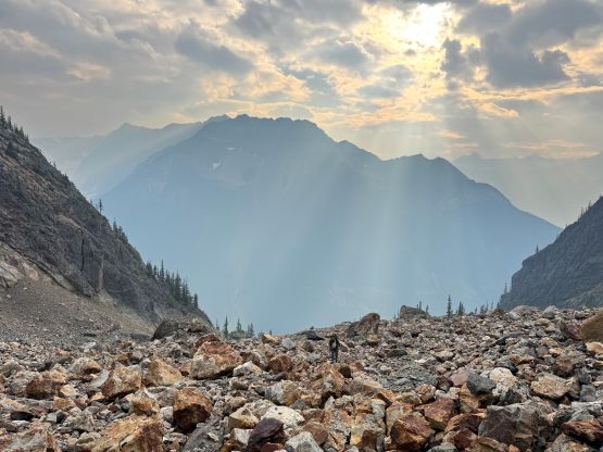
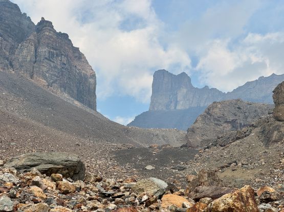
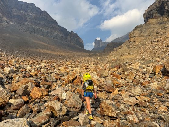
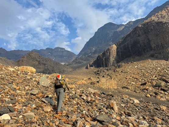
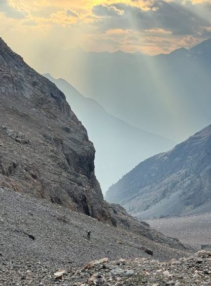
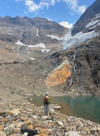
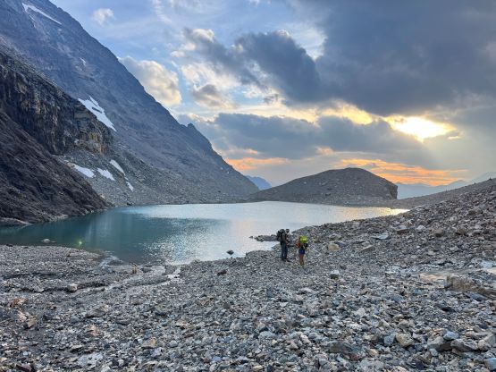
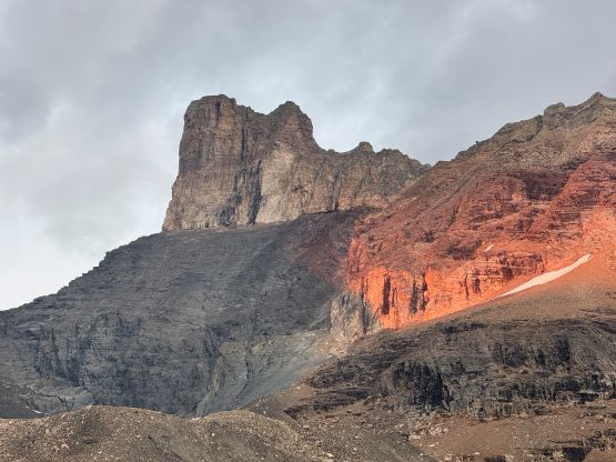
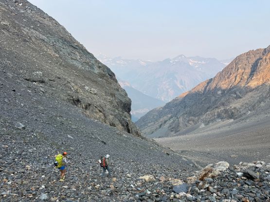
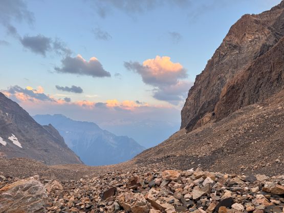
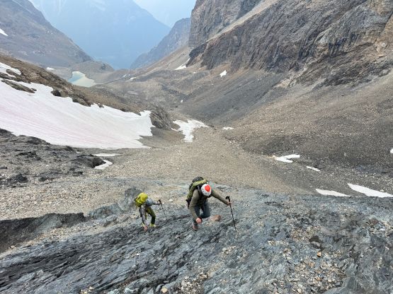
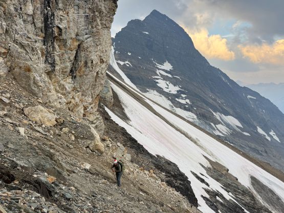
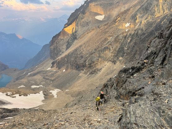
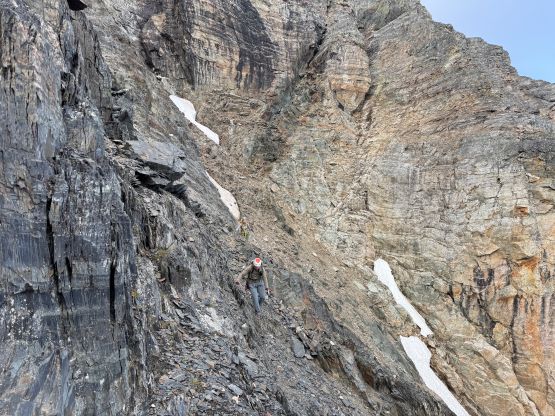
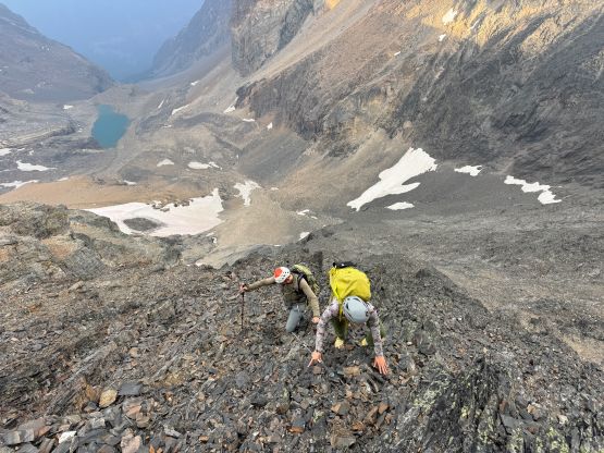
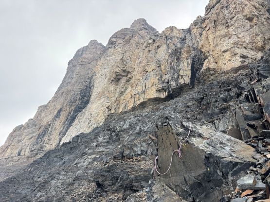
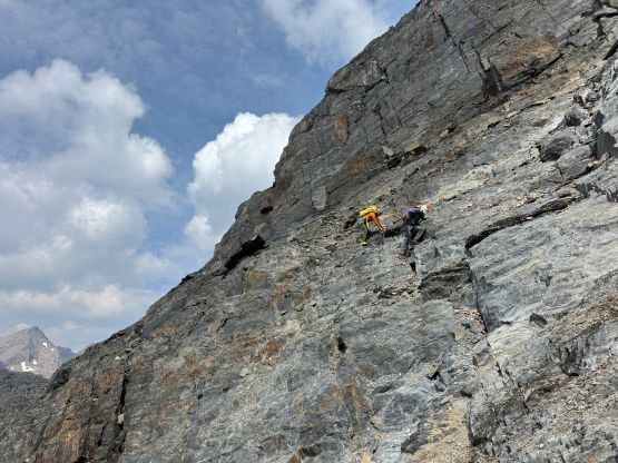
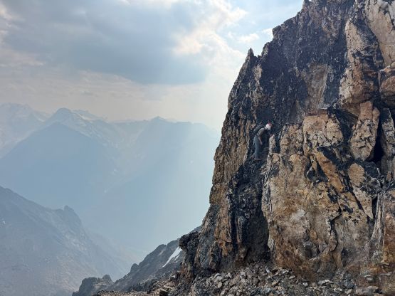
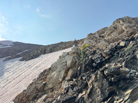
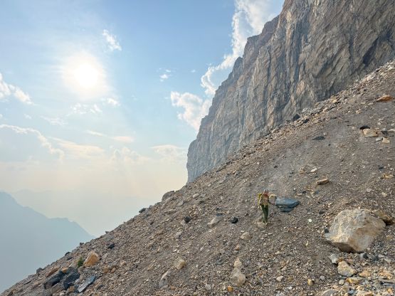
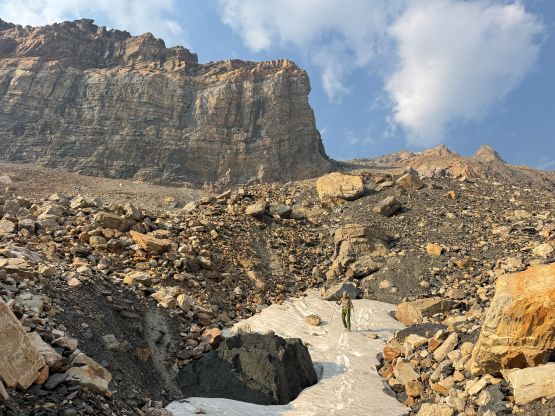
There’s no weather concern and we also had the entire day dedicated to the two objectives so no sense in doing an alpine start. The decision was made to start hiking at the first light and in fact, the head-lamps were never needed. We got some “beta” from Blair about the best way to make the approach over the ugly-looking moraine, as well as the availability of water sources higher up. The moraine was definitely annoying but not as bad as I thought, but the water source was quite sketchy in the early morning hours. We had to dig a little bit to be able to collect water and it took quite a while, so the future parties should load up the water bottles at the lake before starting. Then up the “black bands” the scrambling was basically as described. The lower bands were mostly down-sloping 3rd class slabs covered in pebbles and protection was definitely impossible. We trended right into the large gully feature but once making sense I led a hard leftwards traverse on some narrow ledges and that marked the start of the “middle bands”. The scrambling ramped up to class 3 and 4 and the rock quality was also deteriorating. We scrambled past at least 4 or 5 rappel stations and at one point we were basically aiming straight up a rib feature. The rappel stations served as “cairns” in this trip. We definitely wouldn’t use them on “scrambling terrain” but they were extremely visible from afar. Higher up we did a few sketchy traverses back to the right and exited the black bands onto the quartzite zone. The most natural route then ascends a chossy gully all the way to Farnham/Farnham Tower col but higher up we did some steeper scrambling on more solid terrain, climber’s left of the gully. This deposited us also at the col. It was very windy and cold so we continued scrambling along the ridge towards the tower until finding a sheltered spot to take a much needed break.
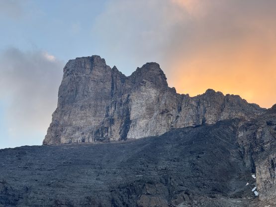
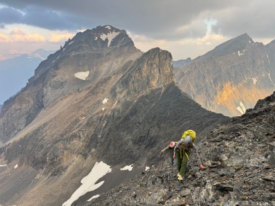
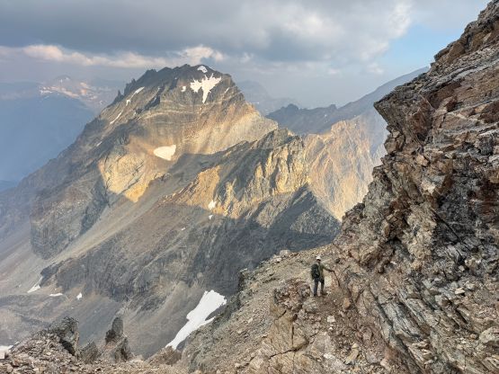
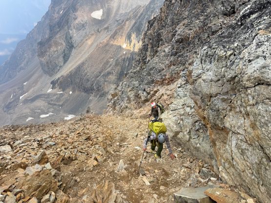
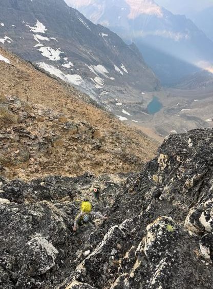
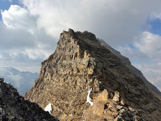
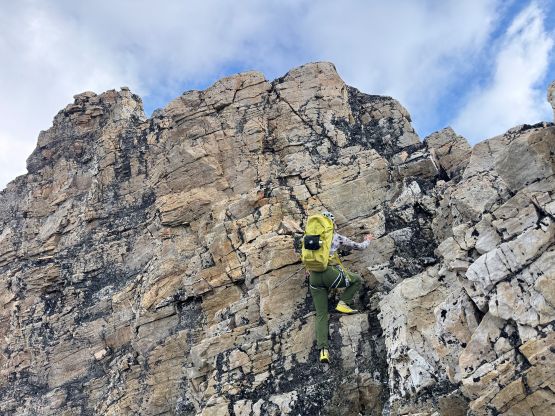
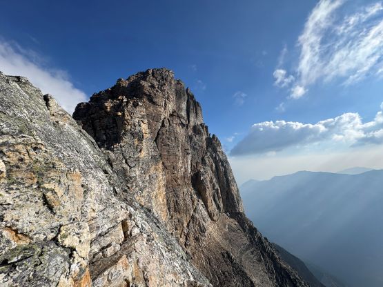
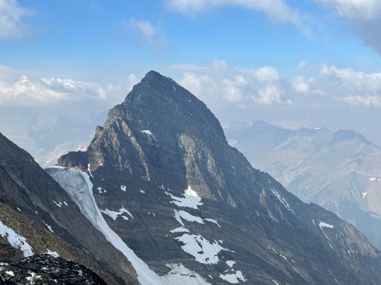
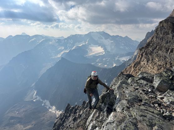
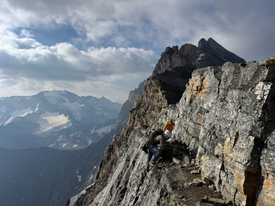
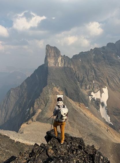
The south face of Farnham Tower didn’t seem to be as daunting as we thought with lots of feature, and indeed it wasn’t difficult at all. We scrambled up 3rd class broken terrain to the base of the chimneys. There’s no “beta” to indicate which chimney should we climb, so we simply followed our own noses. I led the climber’s right branch of the two obvious chimneys and after a few moves I simply decided to solo it. The crux was a few 5th class moves on questionable blocks lower down but the upper chimney was mostly “scrambling”. I then threw the rope down and belayed Steven N. and Erica up. We had brought two 60 m ropes and it started to seem like an overkill. While coiling the ropes the others went ahead to scout things out, and Erica reported that by traversing farther climber’s left it would be no worse than “class 3”. Steven N. and I however, were already starting to sort the ropes out for the next pitch so we might as well put some efforts in. I then led a pitch of class 5 chimney but only bothered to put in one cam. Again, this pitch wasn’t entirely needed if there’s indeed a scramble route farther to the left. The rest of the route was no worse than 3rd class all the way to the summit but did seem to drag on for a while. The summit was farther back than I thought. There’s a copper register and as expected, it got signed more often than suggested by the internet.
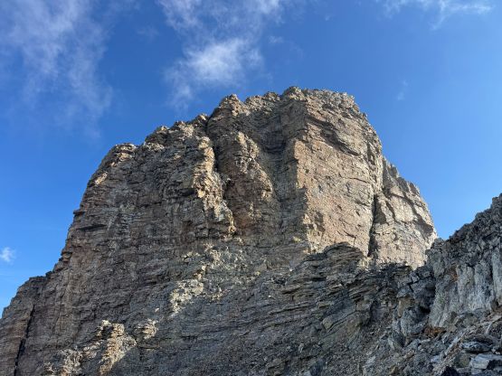
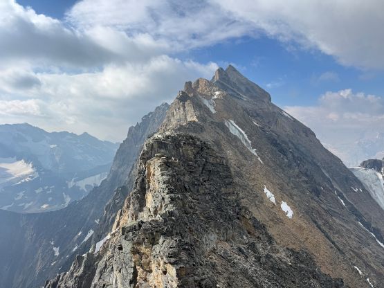
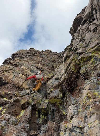
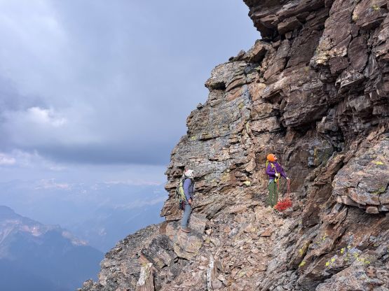
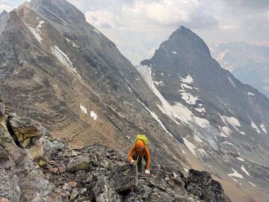
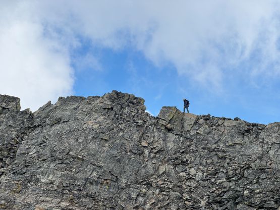
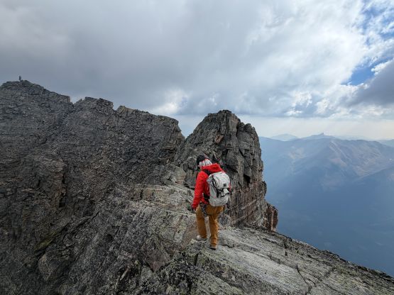
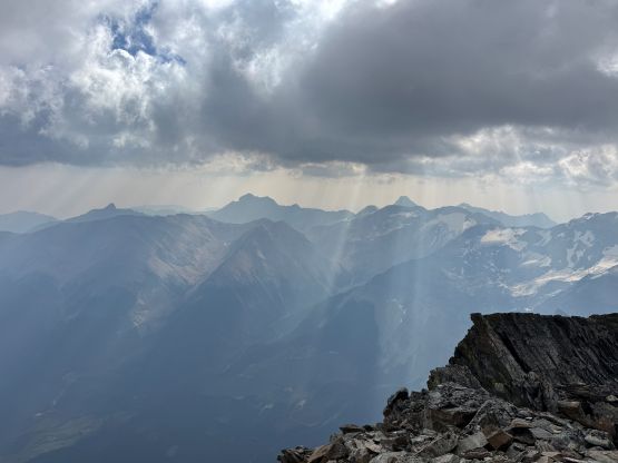
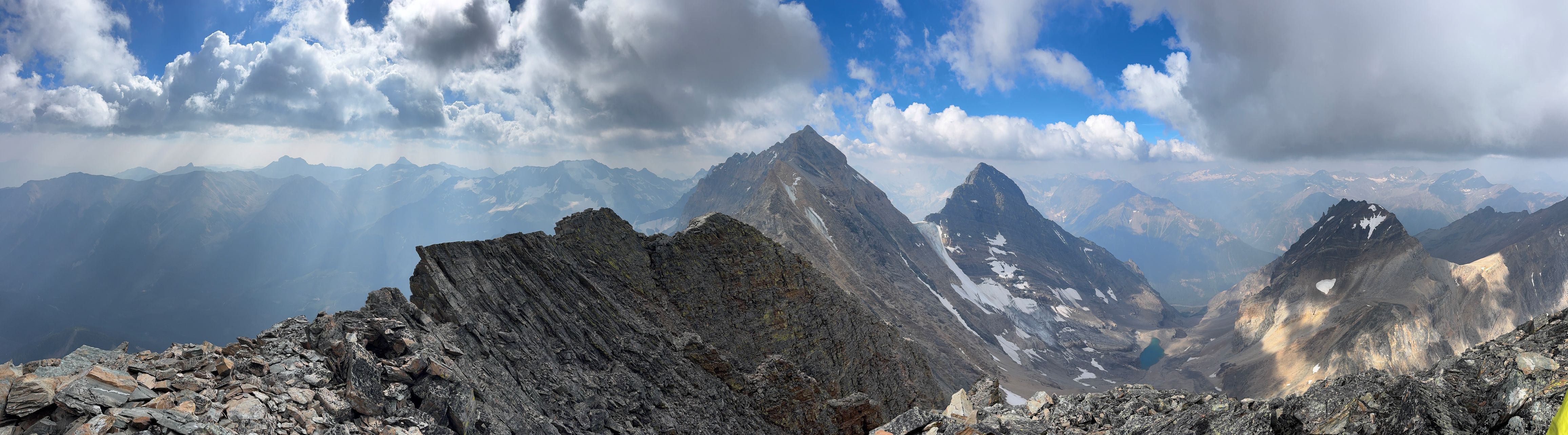
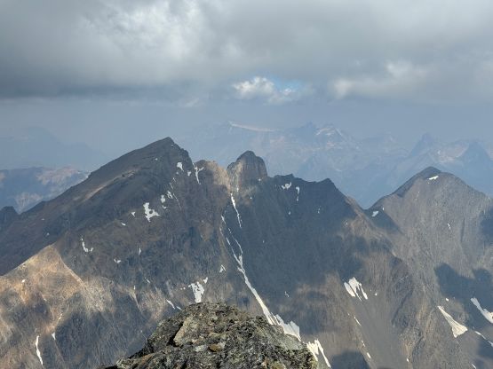
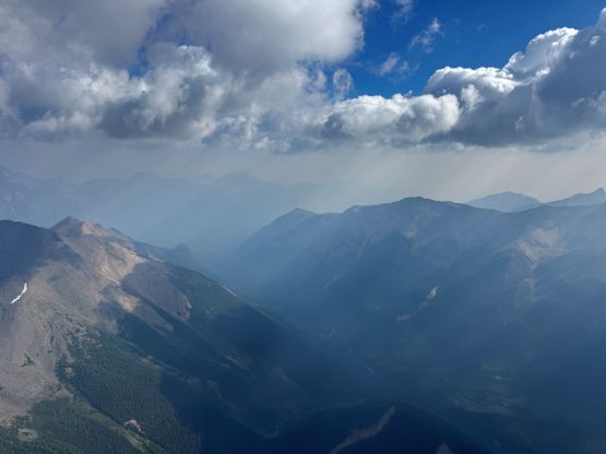
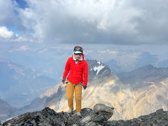
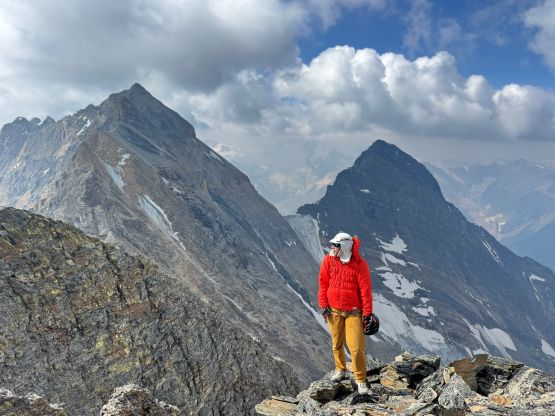
The finish was definitely anticlimactic and the route was disappointingly “easy” I would say. For the descent we scrambled back to the existing rappel stations and then did 3 consecutive rappels using a single 60m rope. Steven N. led all of the rappels and we even improvised the lower two stations. We had brought too much gear and we needed to justify hauling them up anyway. I then led us descending the “black bands” mostly sticking to our own GPX track but probably did some variations here and there. I did check the GPS screen many times to make sure we didn’t miss any critical turn. The descent was definitely tedious and mentally taxing but honestly it wasn’t too bad. For those of us pursuing or having already finished the Rockies 11,000ers list I would say Farnham Tower should be very reachable. This wouldn’t even get classified as a “difficult 11,000er” by the Rockies standard.
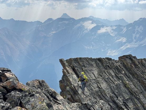
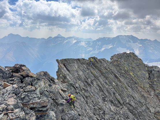
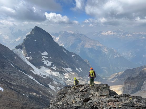
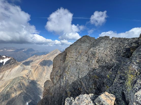
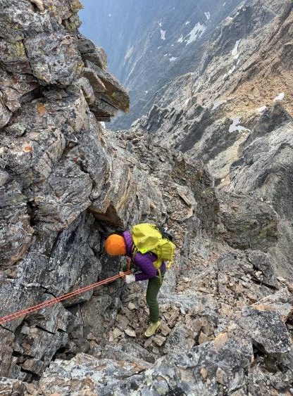
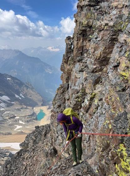
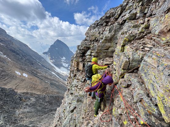
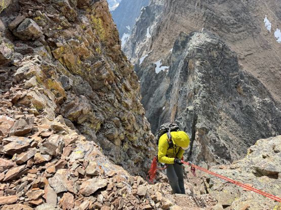
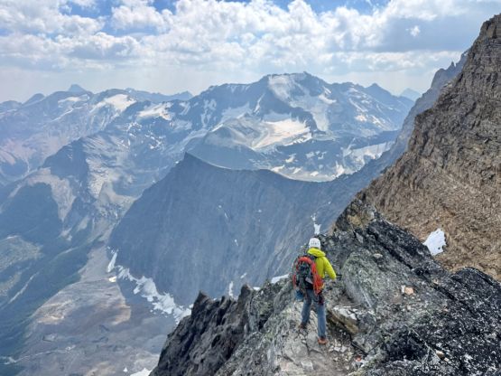
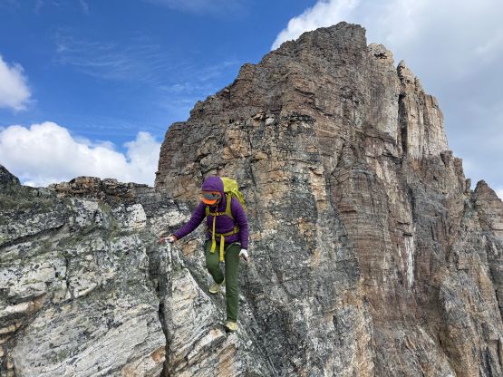
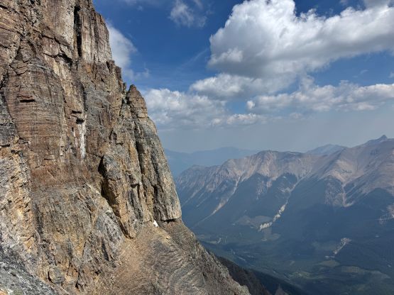
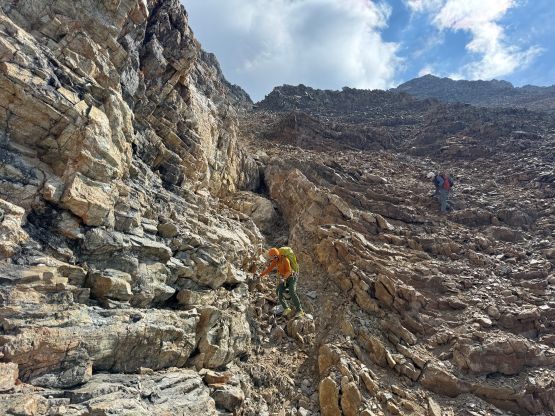
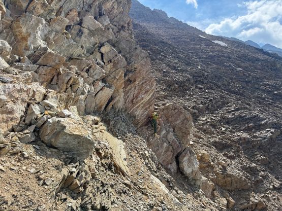
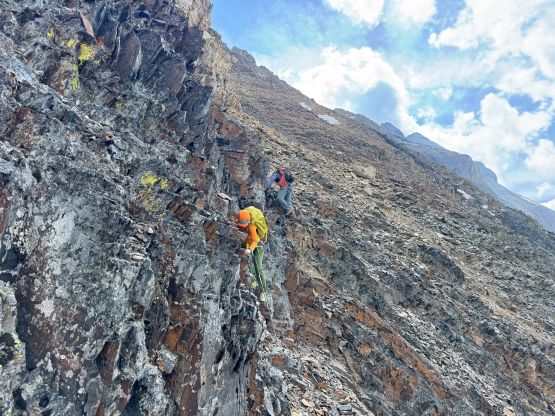
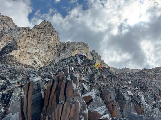
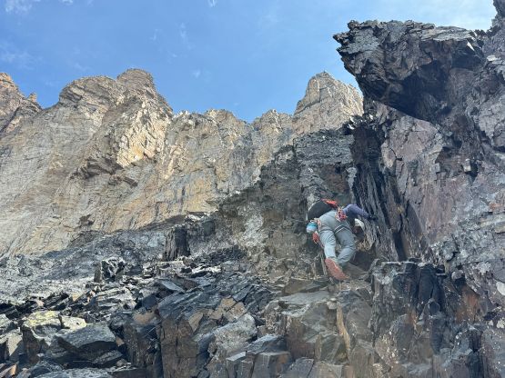
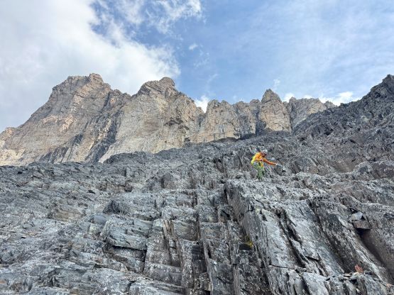
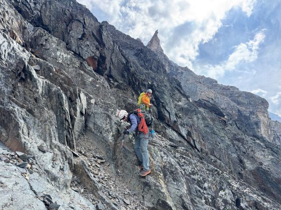
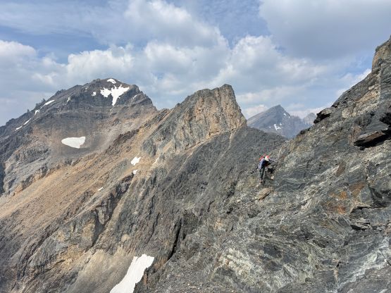
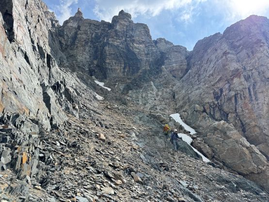
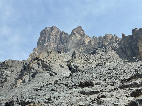
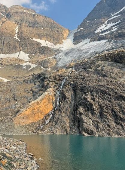
To ascend Mt. Atlung it made no sense to descend all the way to the camp so we loaded up the water bottles at that tiny stream and started up again. The terrain was not looking very inviting so it did take us a while to commit to it, but I knew this would be my only chance in doing Mt. Atlung so I probably should force myself into it. The lower half of the route was as simple as plodding on talus and the talus was actually not extremely loose. The terrain brought us to a waterfall gully/step which could possibly be bypassed on the sides, but again since we came here to scramble we should attack it head-on. I led a line slightly to the left of the fall line and it went as “class 4”. We also loaded up the water bottles since the water was much clearer here.
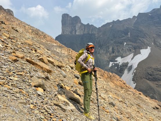
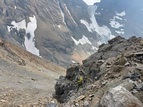
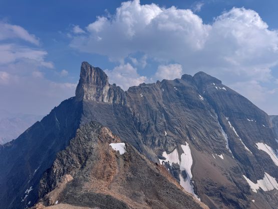
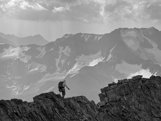
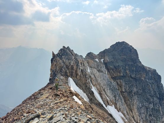
The upper face appeared complicated and it sure was. We had assurance from Jim that it went as a “scramble” but Jim did not pass any “beta” on us, nor did we bother to ask. I simply assumed the route would appear itself once we were there, but the “route” marked on the Gaia’s map didn’t seem to match the guidebook’s description. Reading the description only created more confusion. In this case I preferred to follow my own route-finding sense but then Steven N. suggested to take the right hand side skyline ridge. I eventually agreed to stick to the ridge as well, but the ridgeline was definitely spicy. We were forced to traverse climber’s left a few times and the quality of the rock was absolutely garbage. Fortunately it did “go” as a scramble so we quickly found ourselves on the summit ridge, but the true summit was definitely not the first bump. To traverse to the highest point we encountered more jagged towers and one of which involved a stiff 4th/low 5th class step. We failed to find an easier route on the way back so perhaps attaining the true summit of Mt. Atlung did require a few climbing moves at least. The terrain after that step was still jagged and exposed but not difficult. There’s a cairn on the true summit but we found no register, sadly.
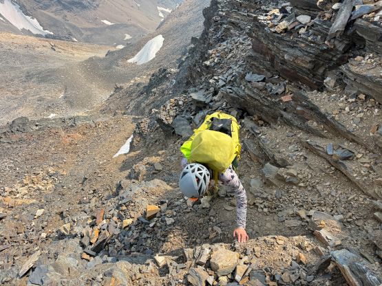
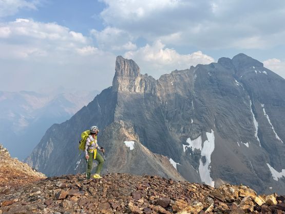
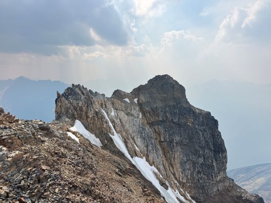
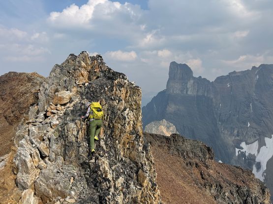
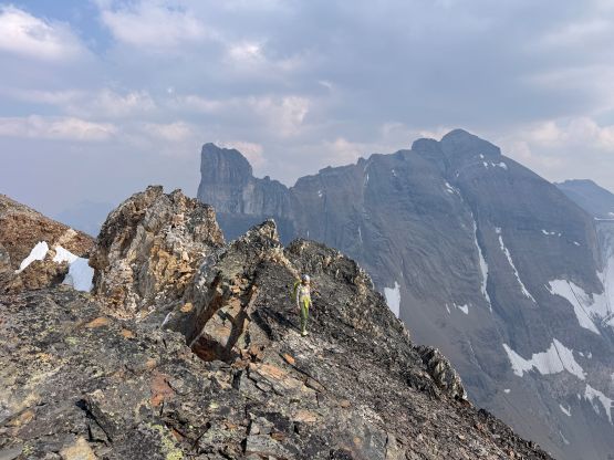
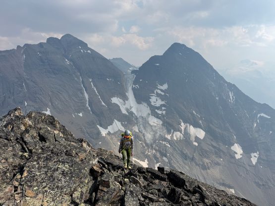
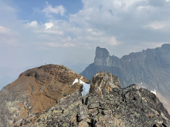
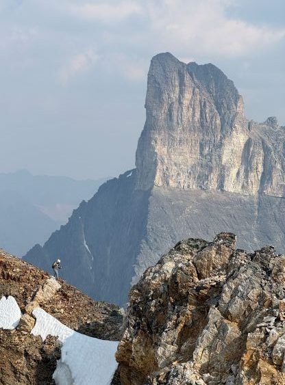
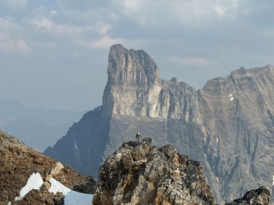
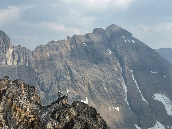
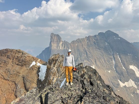
As mentioned above we tried to find a different way to avoid down-climbing that airy and technical step but what we found was just as technical if not worse. Fortunately it wasn’t as exposed. I wouldn’t be surprised if there’s a way to completely bypass these towers by descending a ways down south and traversing on horribly loose scree ledges, but I vowed to not do that in order to conserve physical energy. From the false summit we descended the route that I had outlined and it went basically as expected. From above it wasn’t clear if it would “go” but it was no worse than “class 3”, and all of the snow patches could be avoided. The rest of the descent was uneventful and we got back to camp with still an hour or two of daylight time to spare.
On the morning of the 3rd day we simply woke up naturally, packed up the camp and went down. At least half of the elevation loss would be on talus so I opted to follow from behind in order to conserve mental energy. We ended up overshooting the critical traverse to get back to the trail but the bushwhacking to correct this mistake was also not terrible. After finishing the trip we went for a Chinese restaurant in Radium before parting ways. Erica and I then went south to Canal Flats, did some grocery shopping and then drove in for Mt. Mike on the following day.