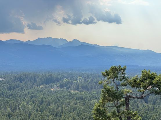
Sutton Peak
August 13, 2026
1874m
Vancouver Island, BC
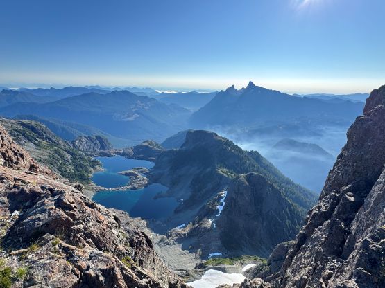
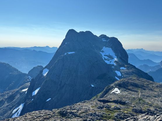
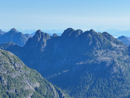
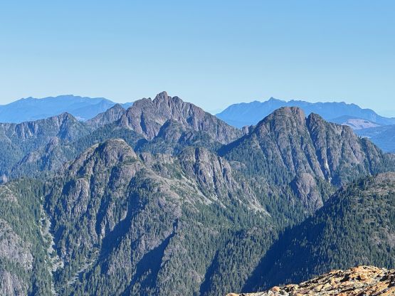
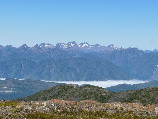
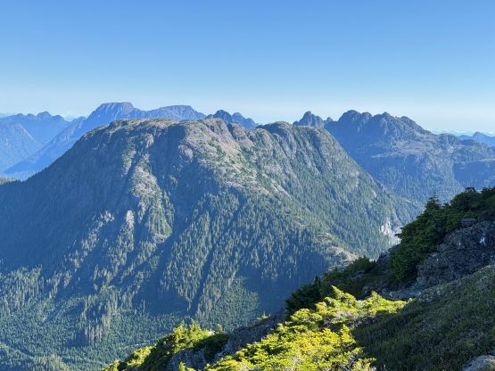
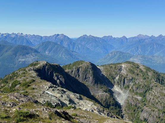
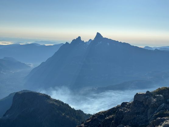
Sutton Peak is one of the principle summits on northern Vancouver Island and boasts over 1300 m prominence. It is however, somewhat overshadowed by Victoria Peak as it’s a bit too close to the taller and more fabled neighbour. The east face is particular impressive viewing from Victoria Peak and that’s how it caught my attention. I climbed Victoria Peak with Winnie back in 2020. More than half a decade later I finally went back to tag Sutton Peak and by now quite a few friends had already done it. The approach “beta” was from Harrison Lake but I decided to challenge their route by taking a ridge rambling from the west, traversing over two P100m bumps. In this current era it was not difficult to figure out the info by combining the Facebook group with the Gaia’s public tracks.
Rob W. agreed with my thoughts that if we indeed were able to drive to the absolute road’s end then this west ridge should be much quicker and we could also get two bonus peaks. I only had the Subaru Forester these days but at least we should give it a try. The drive from Woss down Nimpkish Main was rather smooth but this was quite a long haul on the FSRs. And as soon as we turned onto the Stuart Road we encountered a decommissioning sign. We kept driving nevertheless as we thought this just meant the road’s no longer maintained. We did encounter quite a few rough sections even before the west ridge spur in addition to lots of fallen trees that had been recently cut. I unfortunately did not bring the chainsaw this time, so I wasn’t feeling particularly positive about the outcome, but there’s only one way to know. It turned out that we had no problem driving to the road’s end but the final 150 m elevation gain was severely overgrown. The pin-stripping was definitely notable and I also had to turn on the X Mode for one particular stretch around the last switchback. With perseverance I did get us to the end of the road by dusk and we set up camp right away. I simply slept in the back of the Subaru and the alarms were set at 4:30 am.
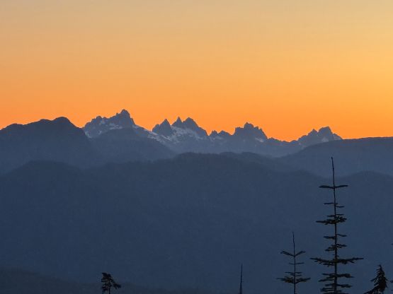
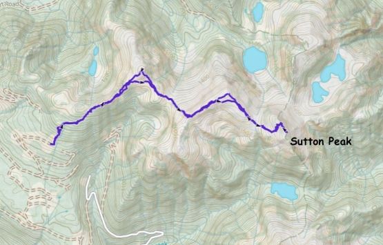
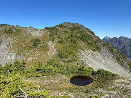
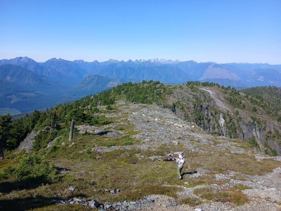
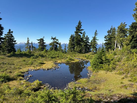
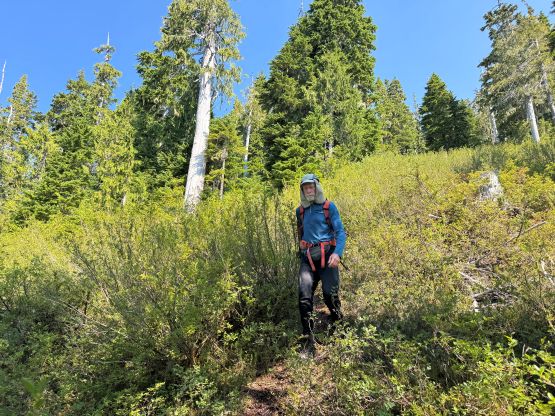
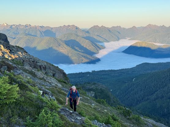
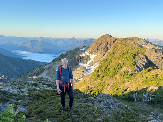
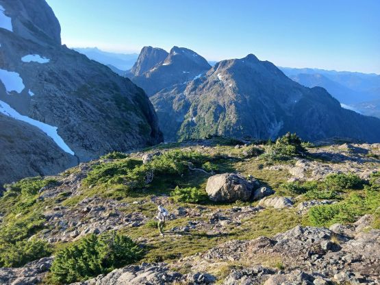
Rob and I both had to get back to the mainland after this trip so that’s why we wanted to get up early. We did not reserve the ferry tickets so that needed some contingencies. I wasn’t anticipating to have a trail through the cut-block but a path with orange flagging presented itself. It was however not very straightforward to follow. We lost the path a few times and did some bushwhacking, but generally speaking we were able to stay on course. The Gaia’s public tracks helped for sure. The trail continues into the meadows area and brought us to the first saddle. The scrambling section was bypassed on climber’s right and then we were rambling up a long and broad ridge with some minor up-and-downs. This would eventually bring us to “Peak 1643” but we agreed to tag that on the return. I led us traversing across the south slopes of that bump but still did at least 50 m elevation loss down into 1643/1748 saddle.
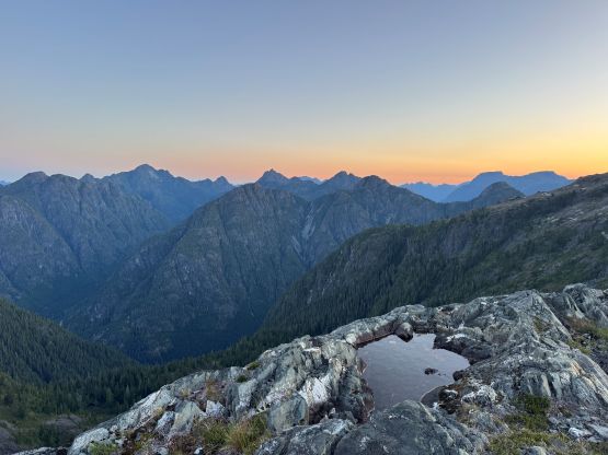
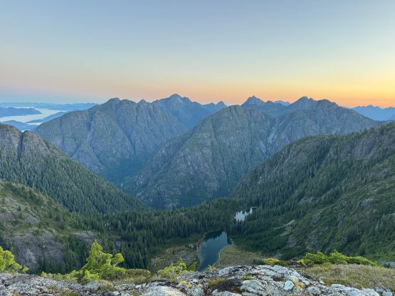
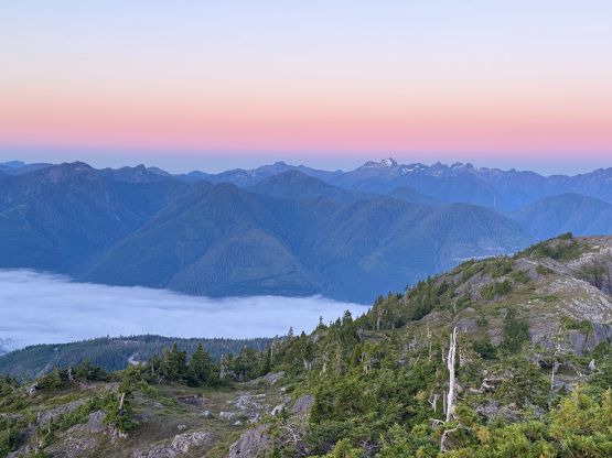
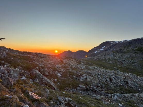
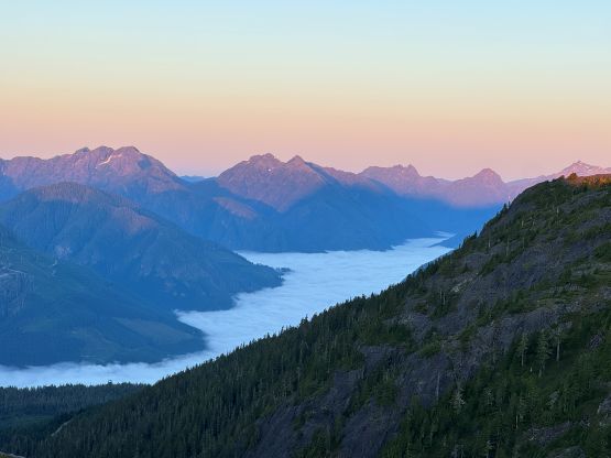
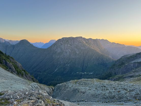
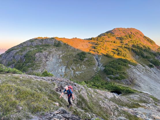
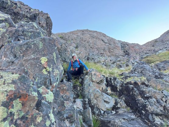
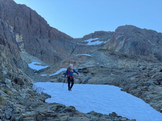
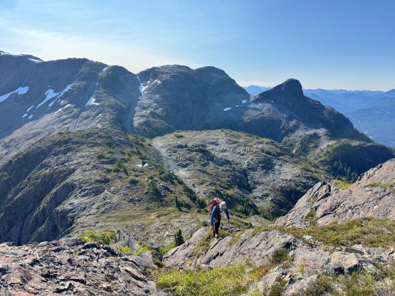
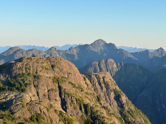
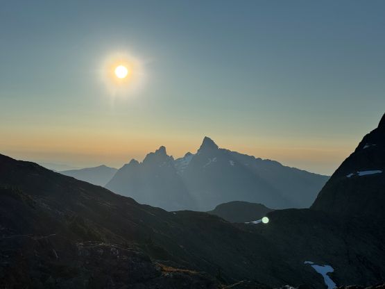
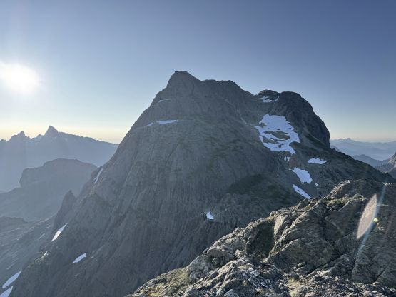
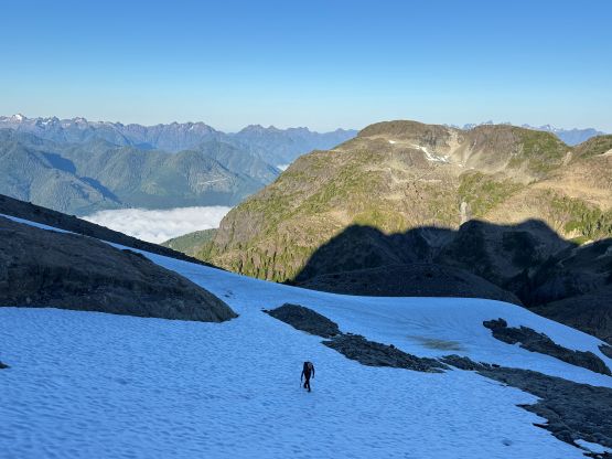
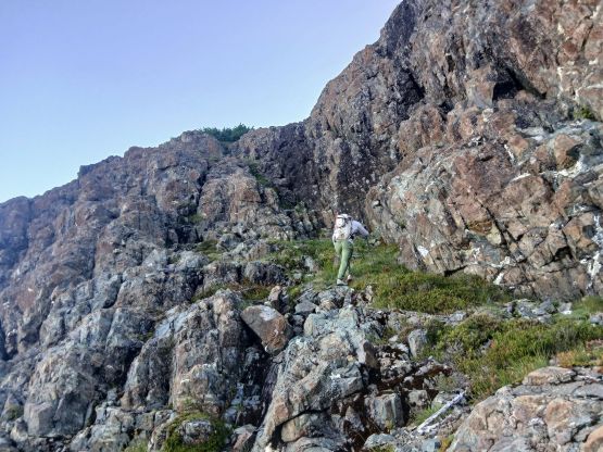
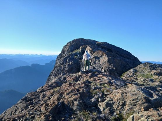
The next section was to grunt up the NW spur that connects onto the broad SW Ridge of “Peak 1748”. The terrain was steep but again we were able to pick up a path here and there. There was also no lingering snow patch. We then rambled up the SW Ridge of “Peak 1748” with again, some up-and-downs but nothing major. At this point we finally got some direct sunbeams so stopped for the first break of the day mostly to don sun protection. We bypassed the summit of this bump and then descended more than 100 m down into 1748/Sutton saddle. This stretch of elevation loss was unavoidable and felt quite annoying. At this point we had joined Adam/Dave’s route coming up from Harrison Lake so the final 3rd class scramble to the summit was “known”. We did have to plod a ways on some permanent snow fields but the angle was mellow enough that the ice axe and crampons weren’t needed. Higher up I wasn’t too sure about the “beta” so consulted with the GPX track a few time. In the end I mostly followed Adam’s route and the scrambling was no worse than “class 3”. There was some route-finding involved. The final traverse across the uppermost NW Ridge was very scenic and the summit definitely felt like a rewarding one. Our ascent time was only 2 hours 45 minutes so we were doing much better than the other teams taking the other approach.
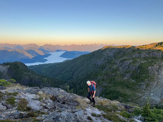
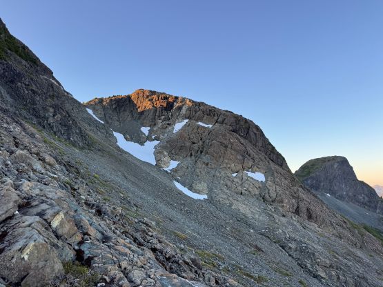
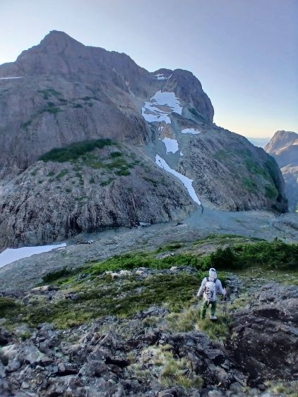
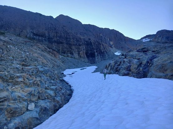
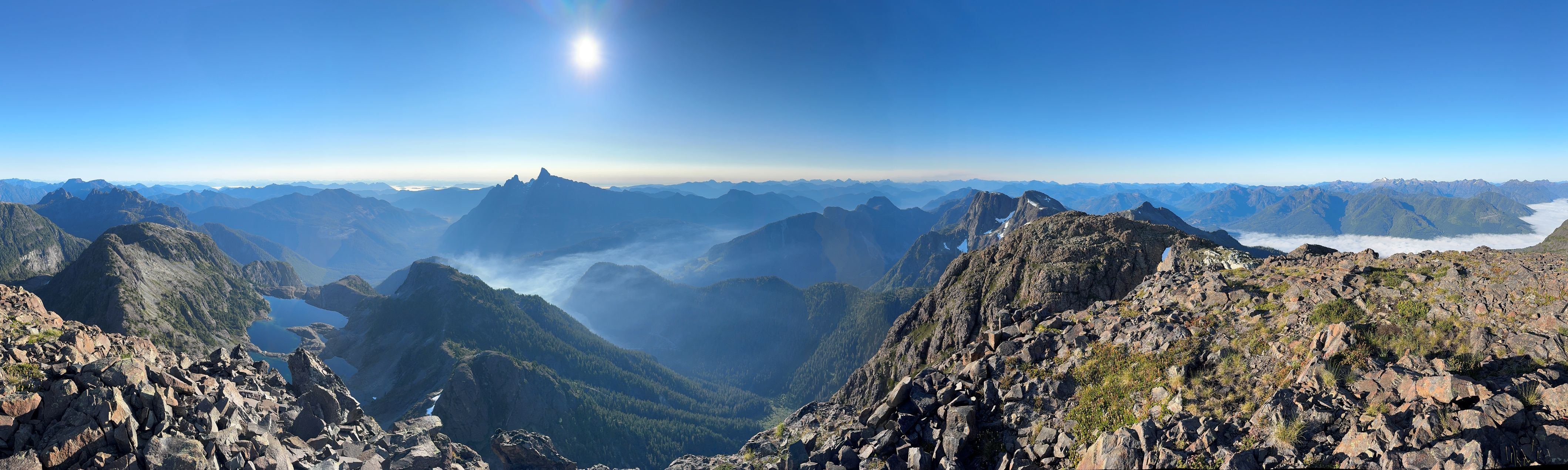
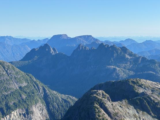
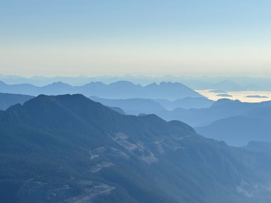
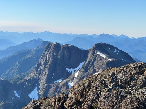
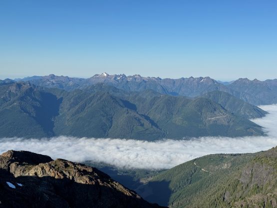
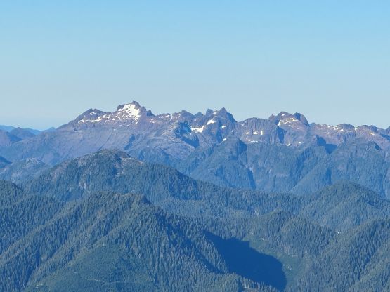
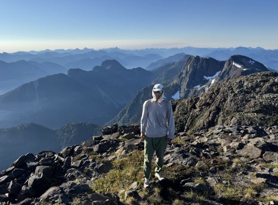
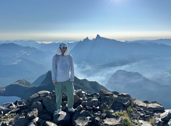
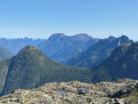
Rob spent about 20 minutes measuring the exact elevation of this peak using his Trimble device and then we started the descent. We mostly went down the exact same way but probably did a few harder moves here and there due to the laziness in route-finding. Running down the snow fields was quite fun since the snow had softened considerably. While plodding back across the extremely undulating ridge we decided to tag the two bonus P100m bumps, which in some ways made the return a little bit more “exciting” even though we actually did more elevation gain than the absolute minimum. We still couldn’t completely stick to the path through that initial cut-block even with the assist of daylight so probably there wasn’t a “complete” trail after all. In any case we finished the round trip in less than 6 hours and then drove a few more hours back to Nanaimo. I proposed that we could tag Little Mountain near Parksville since it’s a drive-up. I had already done it back in 2021 so I’m not going to write a separate trip report for it. I dropped Rob off at Departure Bay since he had arranged a pick-up at Horseshoe Bay but I myself would have to drive the vehicle back to the mainland, presumedly via the Duke Point to Tsawwassen ride. I did get a last minute reservation for the 10:45 pm ride as the other ones were all sold out but I was hoping to get on one of the earlier rides as stand-by. Unfortunately that couldn’t happen so I had to wait for almost 6 hours and eventually got back home at 1:30 am.