The Owls
July 30, 2026
2720m
Whistler / Garibaldi Provincial Park, BC
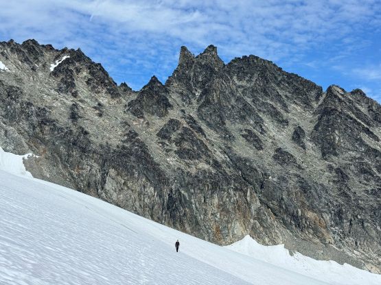
The Owls are twin spires on the NE Ridge extension of Mt. Weart. They don’t boast over 100 m prominence (though should be close) to qualify as independent summits but the name is official, and the feature is very iconic looking. I would consider objectives like this “legit” and there’s no “beta” whatsoever about the peakbagging route (aka. the easiest possible way). The north face offers a steep couloir which I had seen back in May 2020 from Mt. Moe, but such spring/winter route does not offer a passage to the summits. The “standard route” likely exists on the south face but I could not dig out a single trip report on the internet. Alex and Trevor had been talking about The Owls for a while and in the end they decided to take Thursday off and I would join. The forecast for the weekend was not looking promisingly and Thursday was the last day with some guaranteed sunshine for a while.
The plan was to do it home-to-home by leaving the Church at 5 am. We would carry two 30 m rope, a single rack and rock shoes but those all turned out to be training weight. The route went as a “scramble” but barely. An experienced mountaineer comfortable with choss could do it without a rope. Parts of the route were solid but there were also some serious choss on high consequential terrain. The road leading into the Church was under construction which resulted in a 7-min detour via the backroads. I did get my vehicle parked in the Church but had to walk to Trevor’s vehicle. Trevor then drove us northwards. Previously we thought about taking my Subaru to try the higher starting point but honestly I wasn’t super keen. The creek crossing had some uncertainties and it was also unclear if a Subaru could make to the end of that powerline road. There’s potential to shave off 500 m elevation gain but it’s not guaranteed. This was also my final trip in Wedgemount Lake area for peakbagging purposes (with the exception of Fingerpost Ridge which I don’t think I’ll ever come back for), so I was quite excited to close off a chapter.
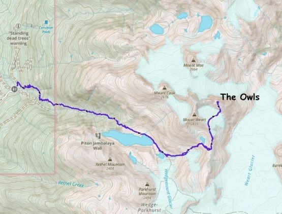
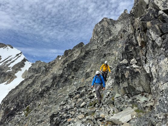
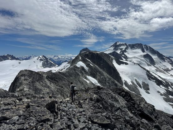
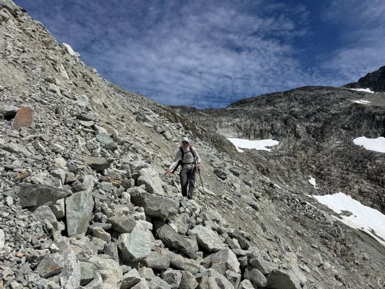
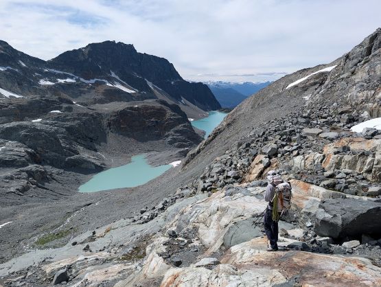
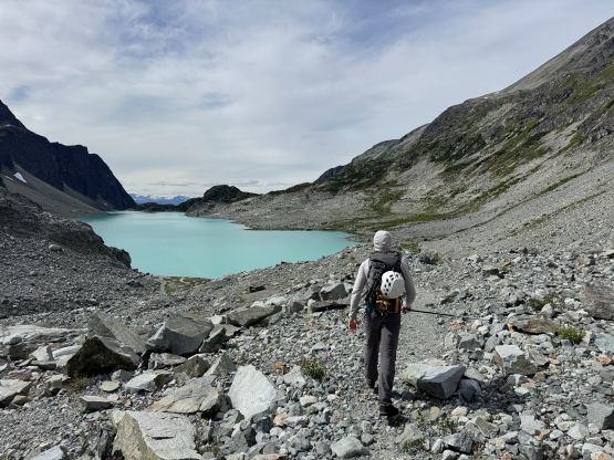
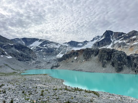
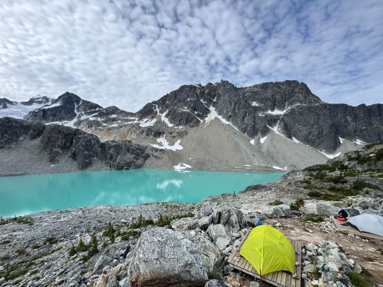
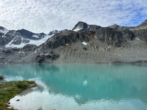
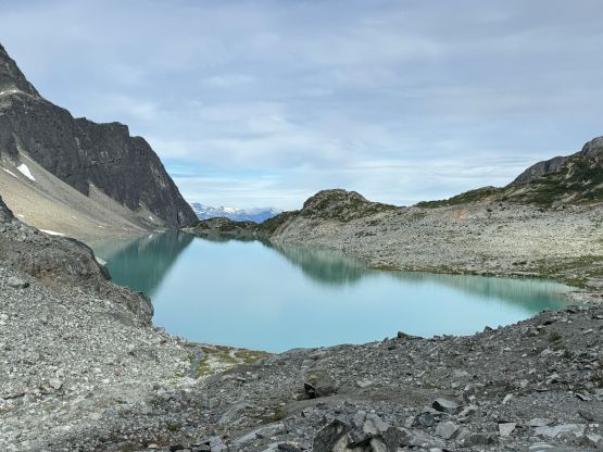
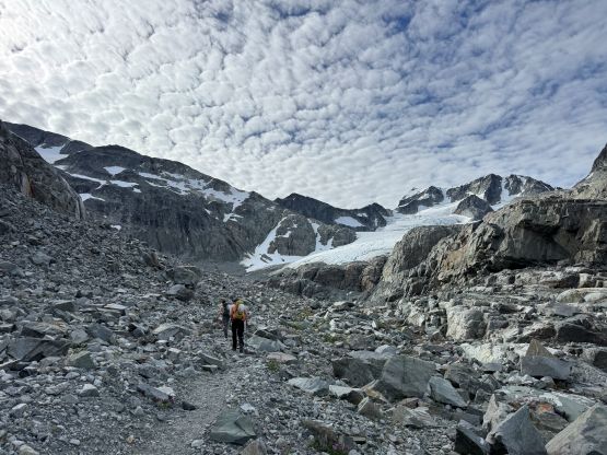
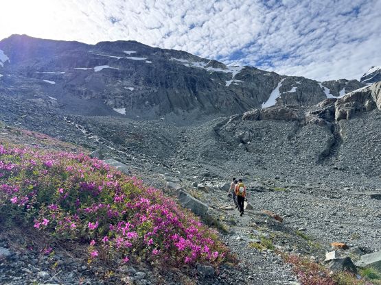
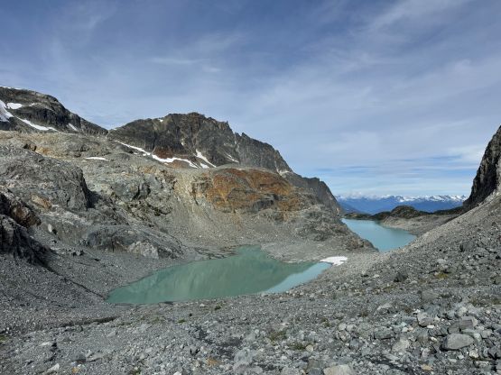
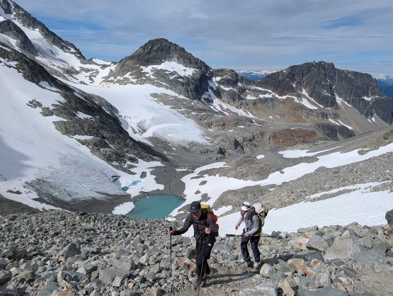
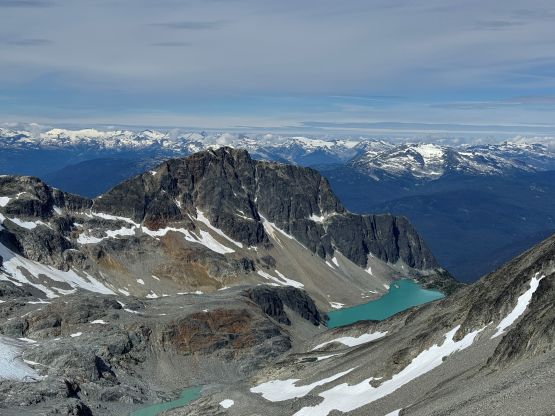
I was not feeling 100% so I opted to follow the Barkers from behind and I was able to keep up with the pace. We got to the meadow under Wedgemount Lake in 1.5 hours and took the first break there. We then plodded to the lake. There were quite a lot of campers but virtually no scrambler/mountaineer. We dashed down to the lakeshore and traversed around to the toe of Wedgemount Glacier. There were several tarns now and the area keeps changing from year to year due to glacial recession. I could not remember parts of the route from Mt. Weart’s trip back in 2015. There were plenty of water sources to load up the water bottles. There was one section of the path that ascended some compact choss followed by a long stretch of boulder fields, and I disliked that part. We also took a different way gaining the SW Ridge of Mt. Weart as the route I took in 2015 required traversing around a melted tarn on steep snow slopes. That tarn was simply not there back then. We then traversed a ways due north along the ridge.
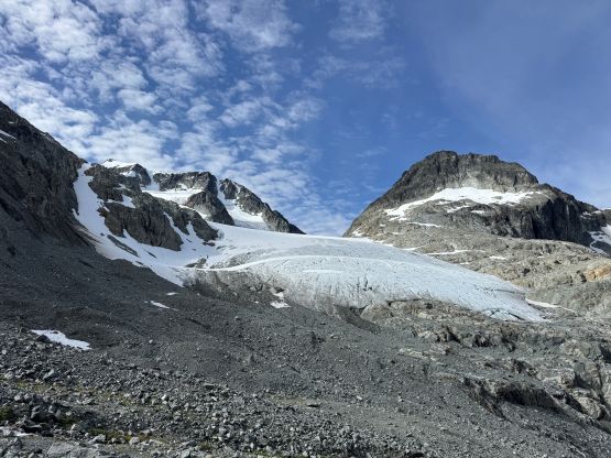
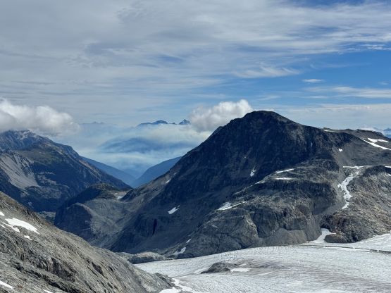
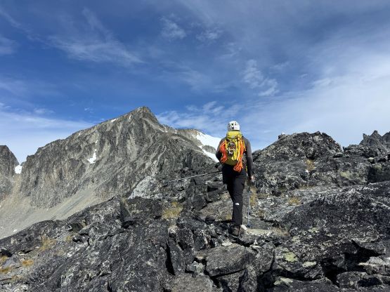
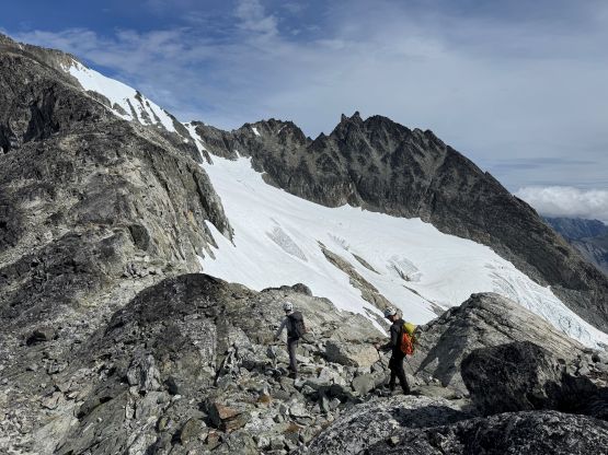
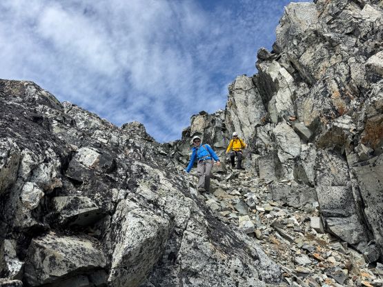
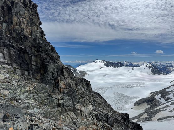
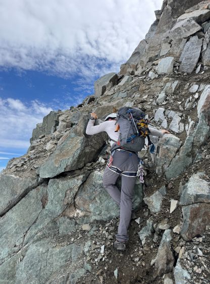
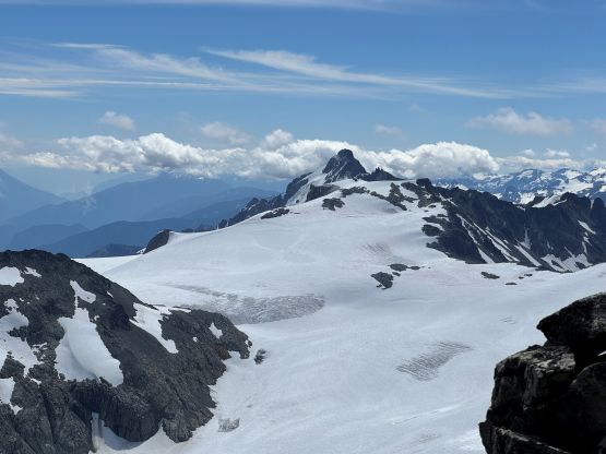
The first crux of this trip was to find a spot to down-climb onto the small glacier on the south side of The Owls and it was not obvious at all. We firstly inspected the most logical spot but it would require a rappel using two 30m ropes. Climbing back up from that spot would be challenging and we didn’t like the idea of having to detour around to Wedge/Weart col. The decision was then made to ascend higher on Mt. Weart’s standard route to look for a way. There sure was some gambling involved in this decision. We did eventually find a feasible spot but the down-climb was a gnarly one and involved some serious choss. Looking back I don’t think there’s an obvious better solution so either do The Owls in earlier season or deal with it. The transition from rock to snow was also extremely awkward and the snow was firm enough to require crampons. We eventually gingerly strapped the crampons on and found a more comfortable spot to take the rope out. The glacier was appearing tame but we had the ropes so we might as well use them.
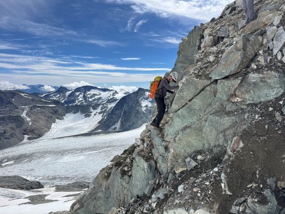
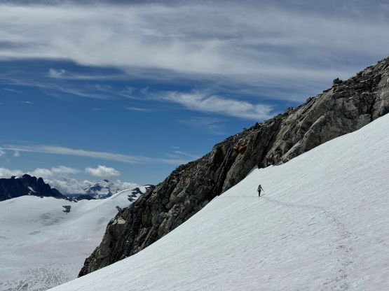
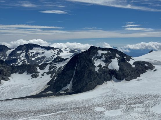

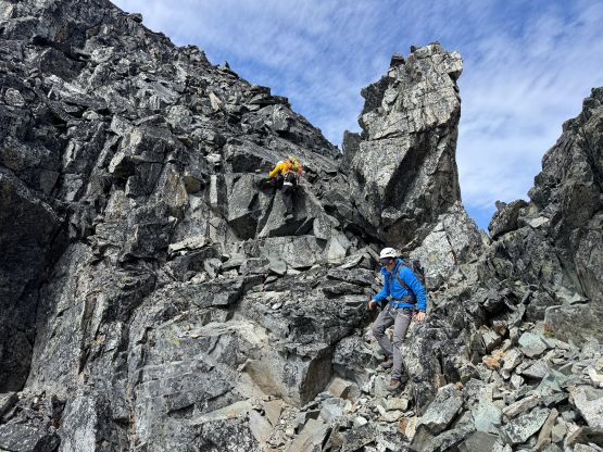
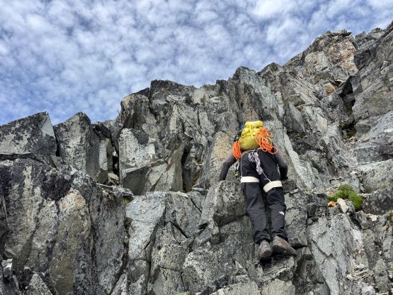
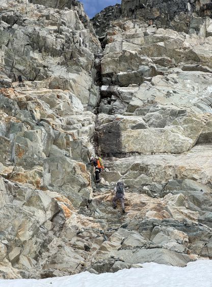
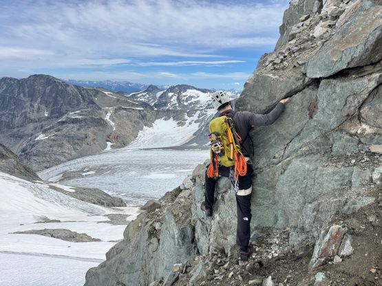
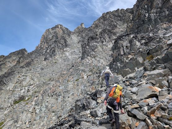
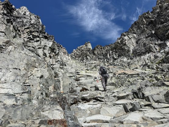
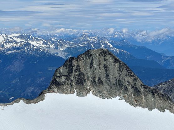
The Owls no longer appeared that daunting once we were directly under it. I proposed that we should aim for the lighter coloured rocks that sort of form a gully feature leading directly towards the col between the two ears, but breaking the lowest band of rock seemed like the crux. The obvious solution existed on the far east (right) side but that would require some elevation loss and lots of traversing afterwards. I thought we could find a way by directly attacking the rock band and it did work, though barely. I led a class 4+ line and that was basically the only solution. Alex and Trevor tried a different way on the descent but they had to backtrack. Above this steep section we were scrambling on easier terrain due climber’s left, and the route was at most “class 3” from this point onwards. The rock quality in that lighter coloured zone was actually quite amazing but the summit ears were downright chossy. We tagged both ears even though the east ear was definitely higher. Parts of this route did not seem like to have seen much traffics, if at all, but both ears had summit cairns. We were all wondering who made the last recorded ascent.
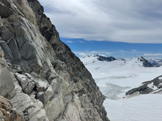
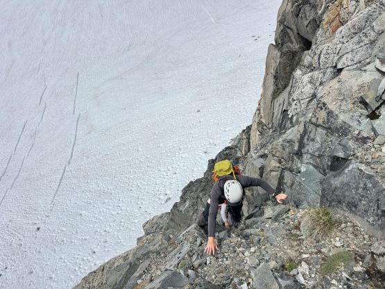


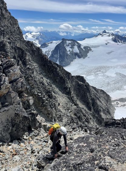
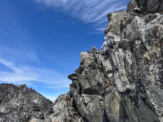
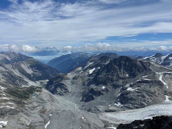
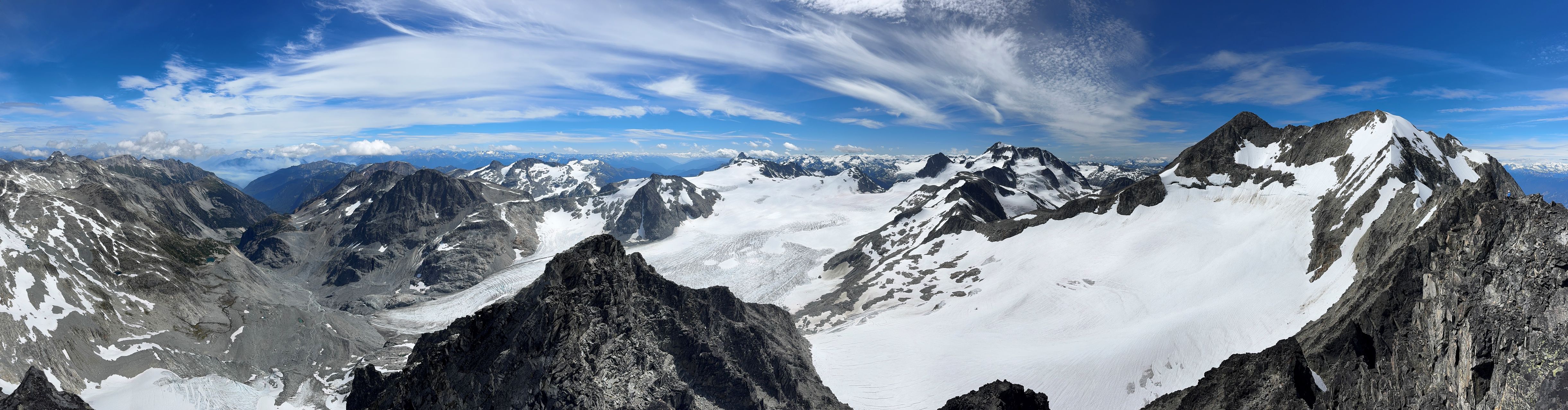
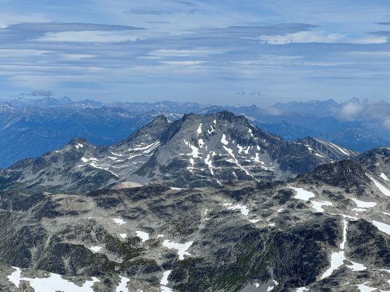
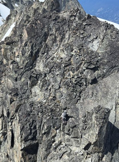
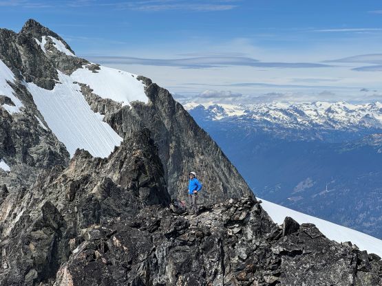
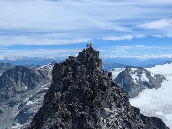

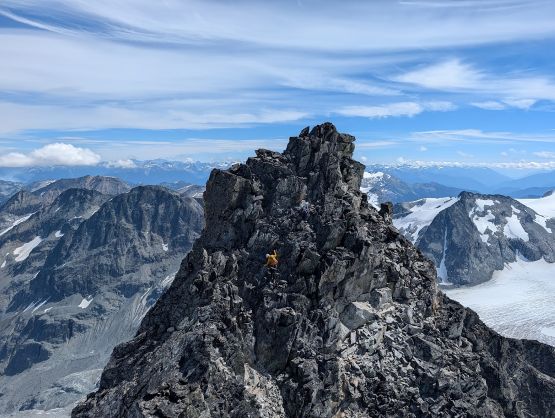
Eventually we decided to go home. The descending was straightforward until nearing the bottom. I took a fall by stepping on a microwave sized block that came loose. The block was actually attached to the bedrock and peeled off. It wasn’t even a loose boulder. I fell a few meters but escaped with only minor bruising. This was a sobering reminder that it’s important to not get too comfortable on this type of terrain. We then had to down-climb the lower class 4 wall and I slowed down significantly to triple check the “holds”. I simply retraced what exactly we did on the ascent and it involved some airy and difficult moves. Alex and Trevor went down skier’s left since it appeared easier on that side, but there’s a reason why we didn’t go up that way, as the lower part was 5th class slabs. They eventually had to make some sketchy traverses to rejoin my route and we regrouped on the glacier. Plodding back across the glacier was uneventful but then there came that awkward transition and the chossy notch step. The rest of the descent was tiring but we maintained a fast pace and concluded the round trip in 10 hours 20 minutes.