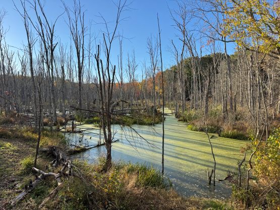
Prindle Hill
October 9, 2026
243m
Southbridge, MA
Prindle Hill is officially named but boasts only 20 m prominence. It’s one of the million hills near the border between Massachusetts and Connecticut in the foothills. Obviously there’s no reason for me to specifically go all the way there to tag this meaningless hill but I had to be in the area to pick up a rental car. I originally booked the rental through Expedia but a day before the trip Enterprise called me saying the car was not available. I used Turo app to secure a last minute booking (for 4 days which was not easy), and the pick-up was south of Charlton. To get there I either had to take a very expensive Lyft ride or spend 4 to 5 hours taking transit. Since I had the time I opted to be cheap.
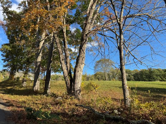
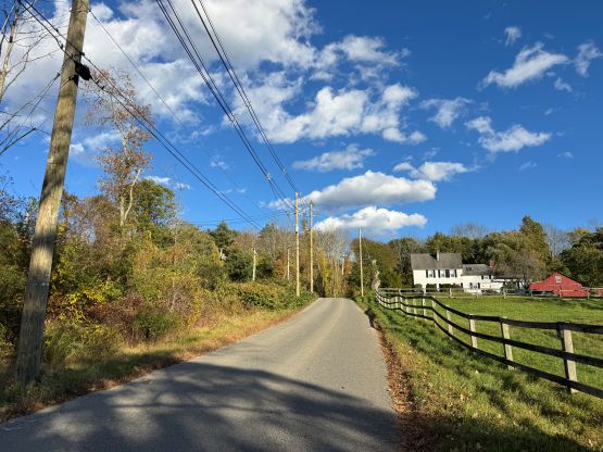
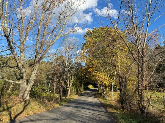
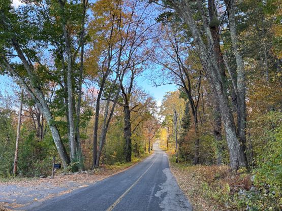
The first ride was the “Red Line” from Harvard to Boston and then I took the express bus towards New York City. Since I booked this bus at the literally last minute it also costed an arm and a leg. The bus had one stop at Worcester so I got off there, and took another bus to within 5 km from the pick-up location. This last stretch had to be done via Lyft or by walking and I chose to walk to save money. The weather was gorgeous. I quickly realized that I was starting to go uphill so I went to the maps and sure enough, I literally had to plod up and over this Prindle Hill. Checking the Peakbagger app this one was surely a “red dot”.
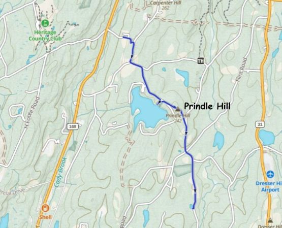
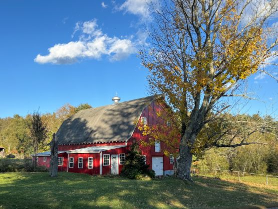
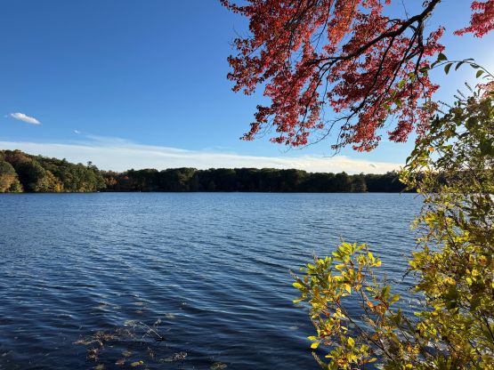
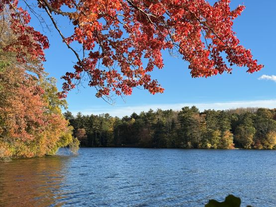
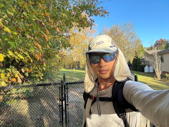
At this point I decided to tag it so started to record the GPX track. Anyone could have driven to the top but I felt like by hiking 5 km (each way since I had to return the car 4 days later) I deserved adding this “peak” to the list. I took a short detour to check out Prindle Lake en route. The true summit was in someone’s backyard so I made a quick dash to tag it before resuming the descent down the south side. The car was there as expected, but then the drive back to Boston took forever thank to the long weekend traffic. This trip from Harvard back to Harvard took literally half a day.