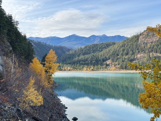
Mount Truax
October 18, 2026
2875m
Gold Bridge, BC
Mt. Truax is a large massive overlooking Gold Bridge a couple hours north of Pemberton and is also known as one of the 10 highest peaks in the loosely defined region of “SW British Columbia”. This peak also boasts 600 m prominence so by any measure it’s a significant objective. The only aspect it lacks is the technical difficulty as the standard route is nothing fancier than an “off trail hike” with a few scrambling moves perhaps. The FSR access into Truax Creek for the standard route is by no doubt harder than the ascent itself, and I doubted if the stock Subaru Forester could make do. I should have done it when I was driving the Tacoma back in the days but sadly the truck’s gone. There’s another access via the mining roads from the north notably described in Francis Bailey’s website but the roads are even worse. If Francis could barely make that do in his Tacoma then it made no sense for me to even consider that as an option.
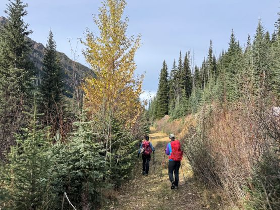
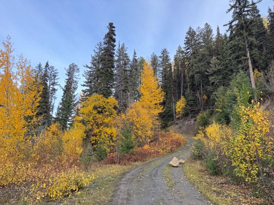
A few weeks ago I inquired an update for the FSRs on Instagram as I noticed a recent reported ascent and it sounded like I could have driven the Subaru at least into Truax Creek valley and the round trip distance should be no worse than 25 km. I waited until there’s some fresh snow on the mountains because this objective does not require an absolutely dry conditions, and the fresh snow could even enhance the scenery. The downside was having to bring boots and some winter gear but that’s okay. Vlad, Nicole and Miranda eventually joined me for the trip with a night of car camping at the trail-head. We left Vancouver at around 6:30 pm on Saturday. The Hurley had been recently graded so the driving was faster than suggested by Google Map, but the spur roads leading into Truax Valley was worse than I thought. The water bars were short but very aggressive, that even with careful driving I still scrapped the undercarriage a few times. The ground was reasonably soft so I don’t think there’s any notable damage but this road was definitely pushing the Subaru to its limit. Into Truax Valley the road was actually becoming smoother albeit a bit bushier, that I managed to push all the way to Kelly Wilson’s starting point. On hindsight I could have driven through the next rough section but I would have to park in front of the first (smaller) creek crossing. Our round trip distance ended up being less than 18 km and our parking location logistically made sense since it’s a natural turning around point that can park several vehicles.
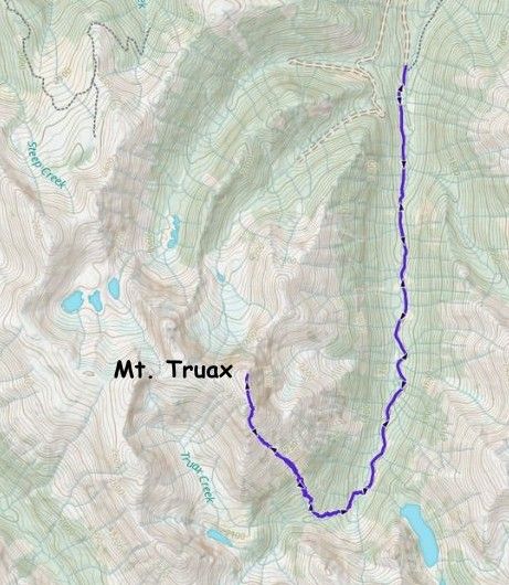
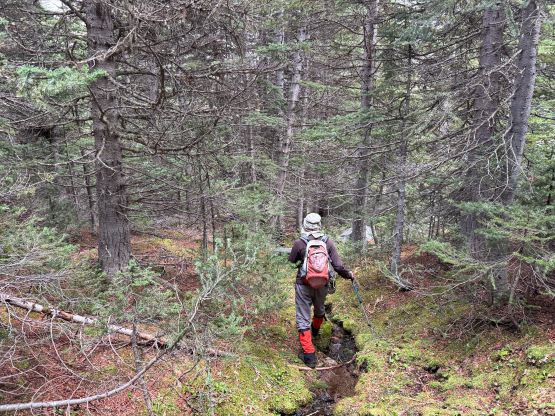
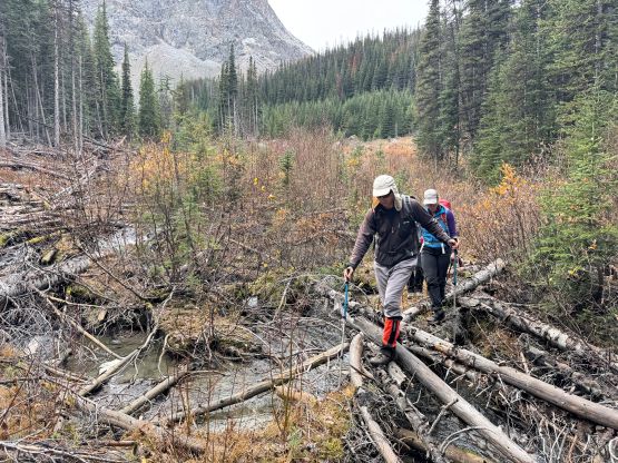
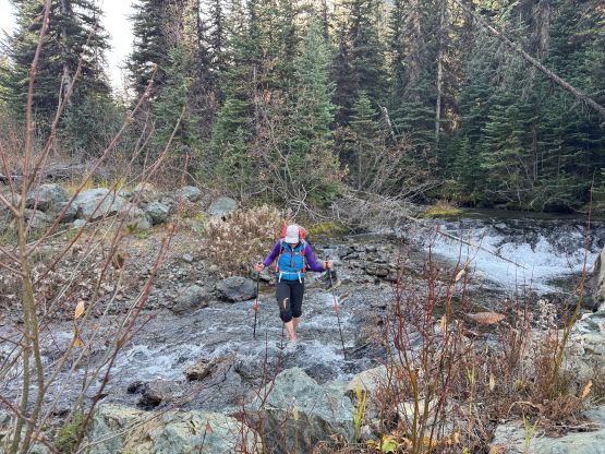
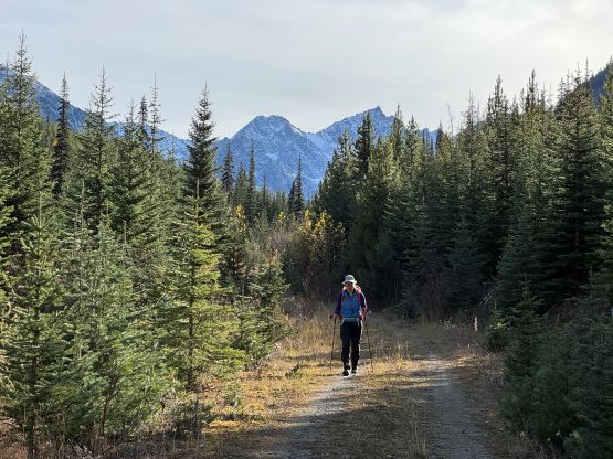
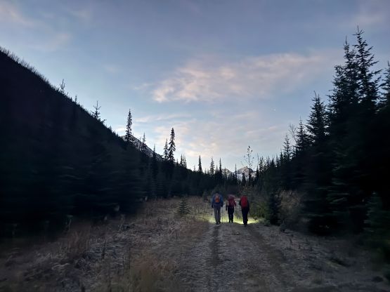
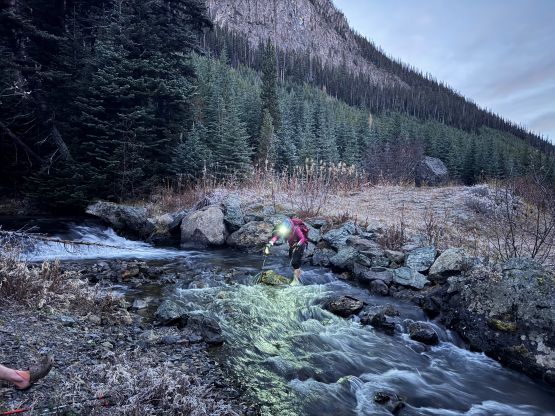
There would have high clouds moving in by noon and we wanted to have nice views, so the decision was made to get up at 5:30 am and do the first hour with head-lamps on. None of us was keen on the cold but it’s already mid-October so what else could we expect. The temperatures were absolutely freezing in the morning so glad I had brought a winter parka. I was bringing it for the car-camping but decided at the last minute to carry it to the top of the mountain, and that was actually the correct decision. This was a cold day. The creek crossing to the east side of Truax Creek was “interesting”. The log was usable given the low water level but it was coated with a layer of ice. I decided to strap the crampons on to cross whereas the others opted for fording. My decision was definitely riskier but much faster and more pleasant. We decided to carry the sandals further as we had to cross the creek back to the west side after diving into the bushes from the road’s absolute end, but the second crossing turned out to be trivial on downed logs. The bushwhacking was a bit more annoying than expected, though.
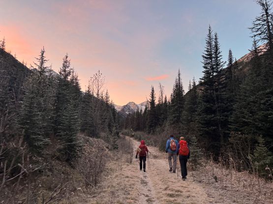
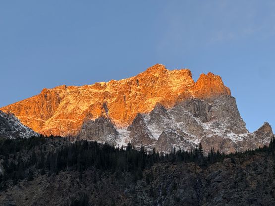
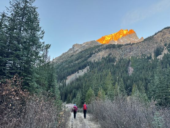
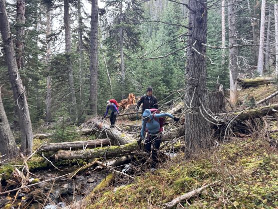
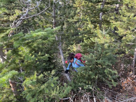
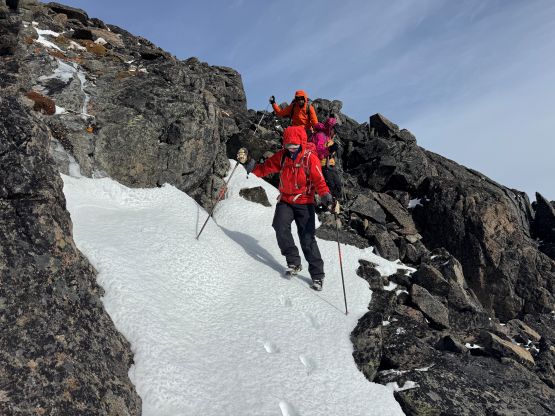
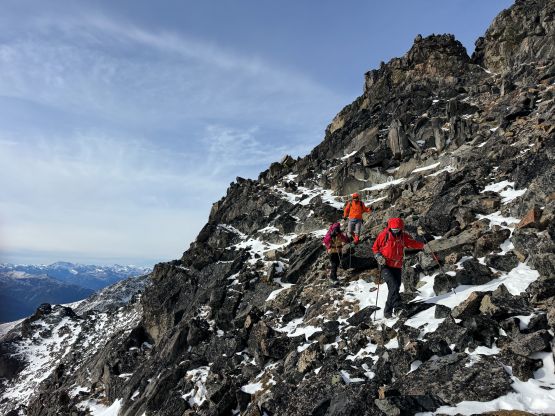
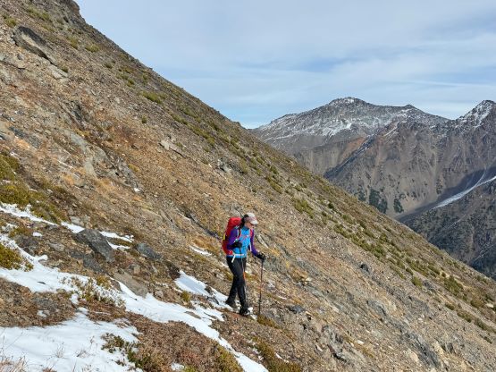
Originally I was thinking to plod all the way up this forested valley to the southern aspect of Mt. Truax but changed my mind due to the annoying bushwhacking. Our reference trip report had their descent route going straight down a large gully so we decided to ascend this route to minimize the time spent in the forest. I think this was a good call. There wasn’t too much annoying bushwhacking to go straight up the slopes and once above the treeline we did encounter loose terrain but it was manageable. It was then just a very foreshortened slog up the middle of this gully all the way onto the uppermost south ridge. Higher up above 2500 m we started to encounter more and more fresh snow and I made one stop to swap the trail runners for mountaineering boots. The crampons and ice axe weren’t needed, though. We veered climber’s right and dealt with some minor scrambling terrain before topping the ridge, and the traverse to the true summit was a bit tedious but very scenic. We stayed on the summit for as long as we could manage. We were doing great on time, but it was simply too cold and windy to be enjoyable.
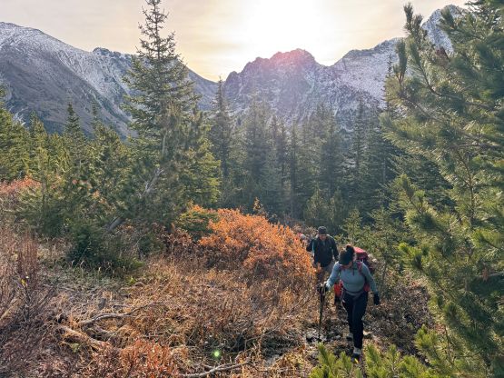
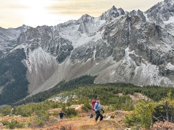
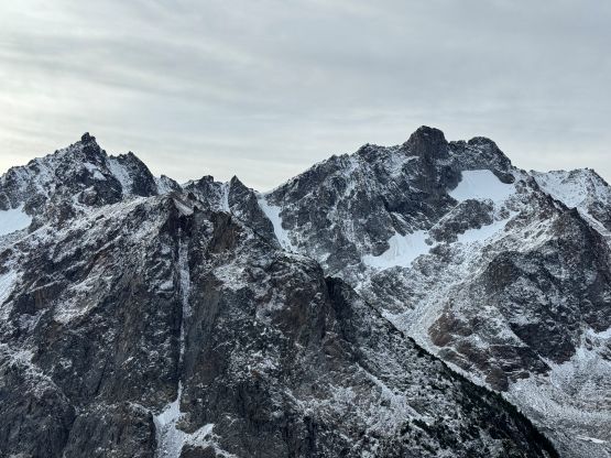
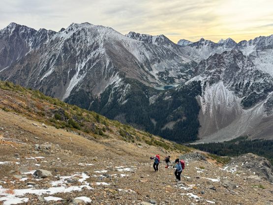
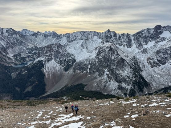
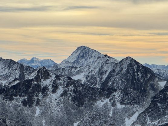
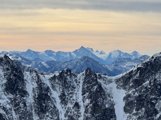
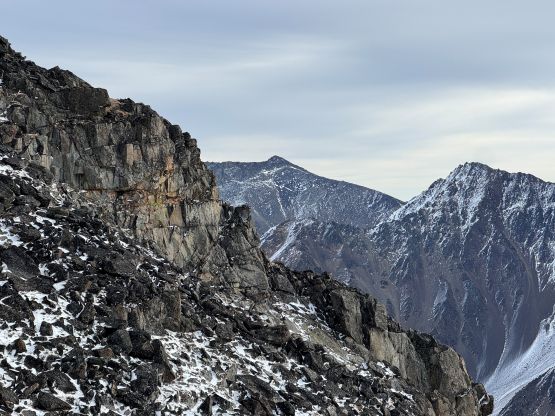
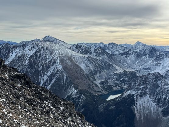
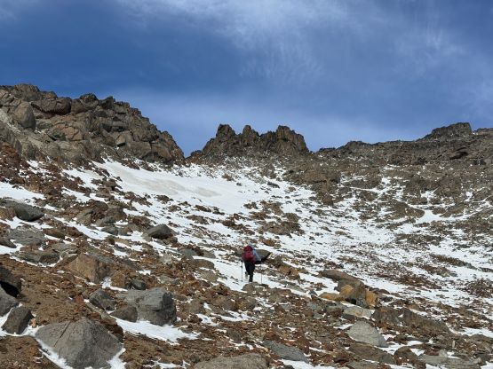
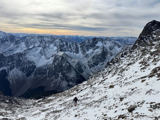
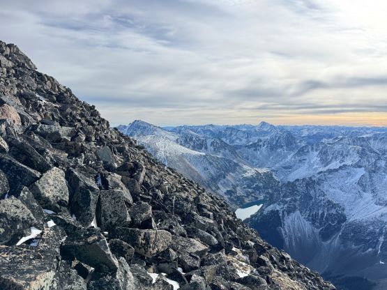
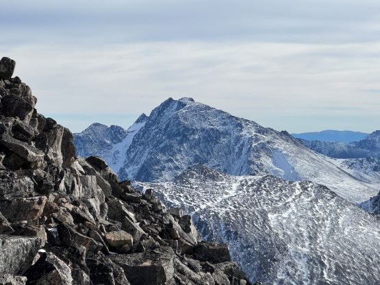
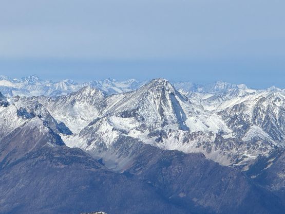
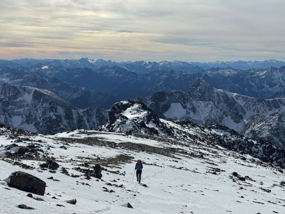
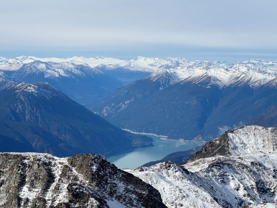
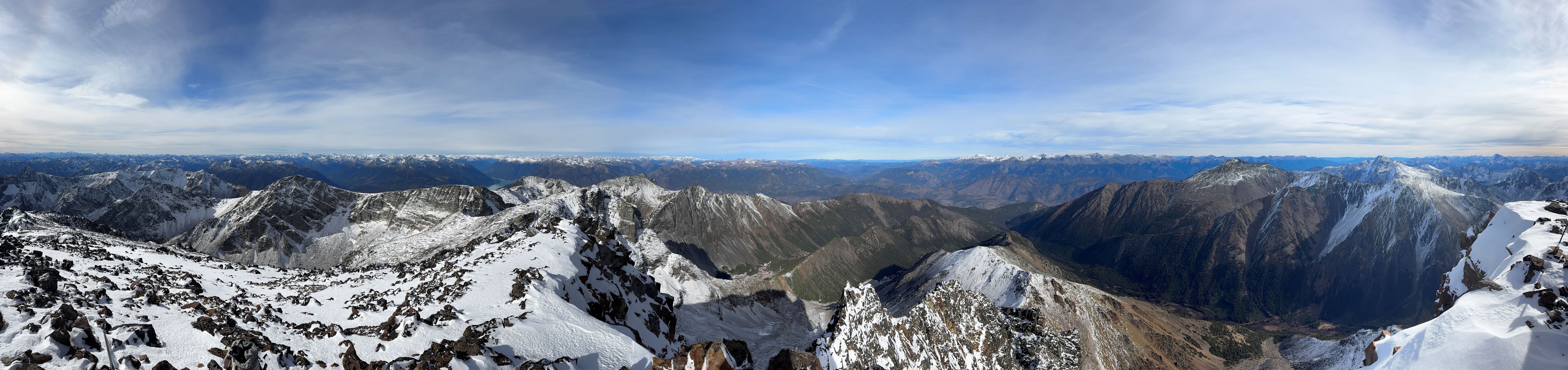
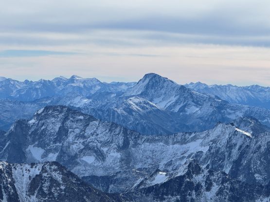
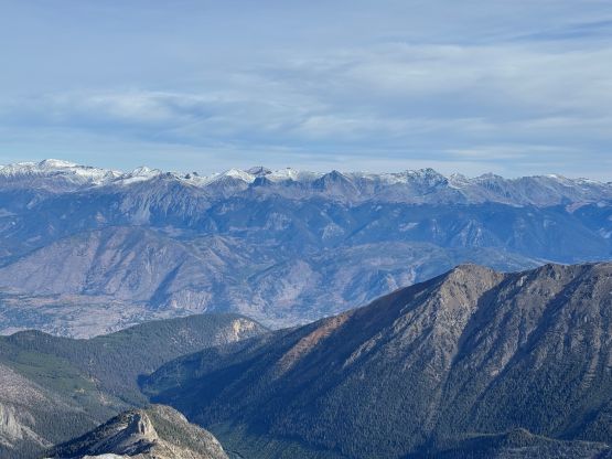
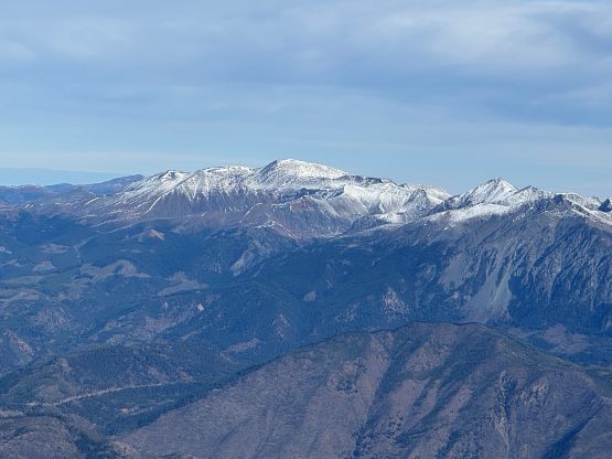
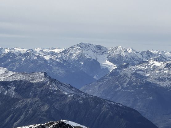
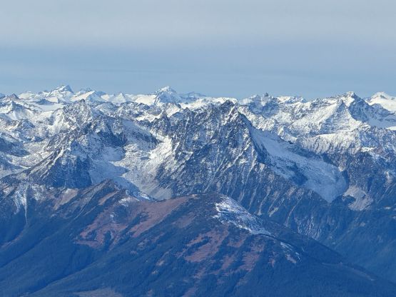
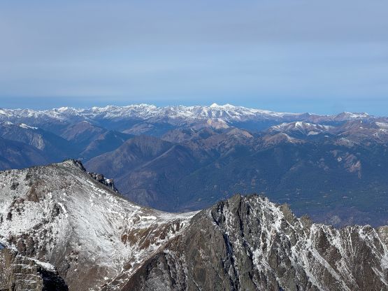
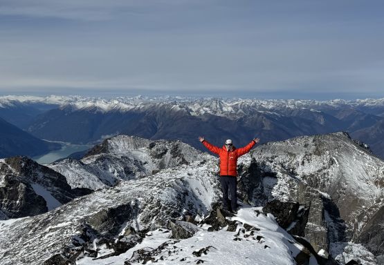
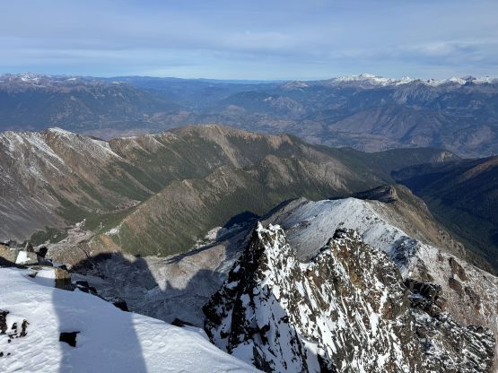
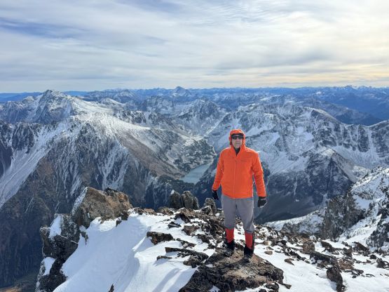
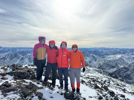
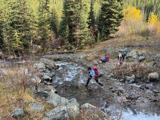
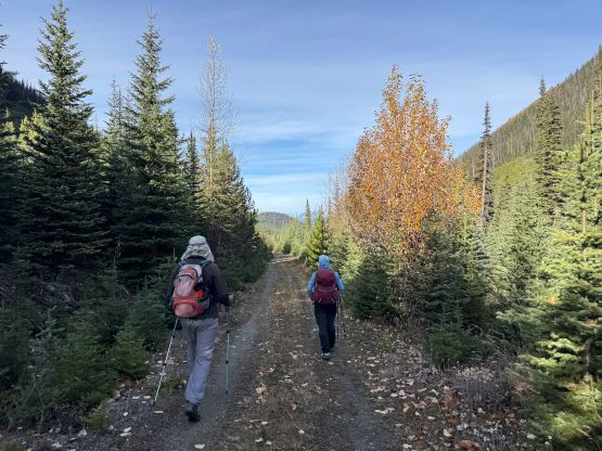
There was no magic about the descent as the plan was to simply retrace our route all the way back. For that scrambling section we could have taken a different variation but I don’t think it could change the bigger picture. There were fresh snow and some scrambling moves and I don’t think they could be avoided. Lower down we enjoyed a fast plunge for at least several hundred meters on loose scree, but once diving back into the forest the going was becoming tedious again. The terrain was quite slippery and it was still very cold. After a careful bushwhack back down to the road we dashed the final 6 km back to the vehicle. Three of us simply hopped across Truax Creek on boulders as the boulders were no longer coated with a layer of ice. We got back to the parking lot encountering one solo hunter looking for mountain goats. That hunter was also from Vancouver and was also leaving. Our round trip time was 8 hours 40 minutes so the driving was definitely longer than the hiking in this trip. The drive back home was long and exhausting, but honestly it wasn’t too bad. I got us back to Pemberton before dark, and we all had dinner in Squamish.