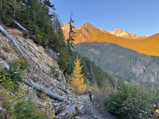
Mount Laughington
November 1, 2026
1798m
Chilliwack, BC
Mt. Laughington is in the foothills of Cheam Range. It’s not one of the alpine peaks in the range but the access is from one of the three trail-heads (Airplane Creek FSR), and the name is official. For some reasons this one happened to be my last objective accessed from any of the Cheam Range trail-heads and it’s already been a few years since I paid a visit to the area. I had driven the Airplane Creek FSR on three separate occasions and honestly I wasn’t keen on taking my own vehicle for another round of tearing. I had already traded the Tacoma for a Subaru and there’s no way I could have pushed the Subaru up there anyway. My original plan was to team up with someone having and willing to drive a Jeep (or equivalent) up there but it never happened. To further complicate things the only time that “makes sense” to hike Mt. Laughington is the so-called “shoulder season” as there are way too many better peaks to do in summer or winter, but to get to the true summit in the “shoulder season” is also not a trivial fair, as we discovered in this trip.
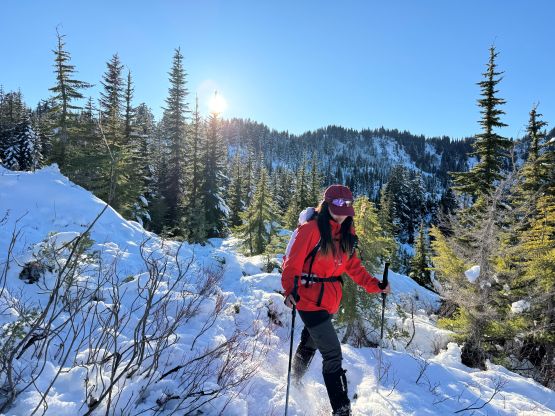
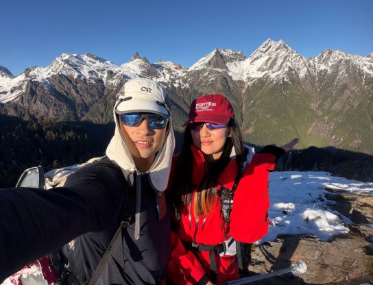
The first weekend of November saw some guaranteed sunny weather but at least 30+ cm of fresh snow had been reported in the alpine. I knew that folks had already been skiing on Mt. Baker so the decision was made to bring the snowshoes. I thought they would very likely be carried on the packs the entire way up and down but they were actually quite needed. Originally I was planning to do this trip with Lulu Z. but Kostya, Anthony, Mike and William joined the team at the last minute. With 6 people we needed two vehicles, and the plan was to meet at the bottom of Airplane FSR at around 8 am as we weren’t planning to drive higher. There’s a major traffic delay on Highway 1 that costed about 20 minutes. By the time Kostya, Lulu and I got to the bottom of the FSR we saw no sign of the other vehicle. Coincidently another group of Chinese hikers showed up but they were going for Stewart Peak. I doubted if they would be able to make it because to do that at this time of a year would be a fairly serious mountaineering endeavor. Anyway Lulu had brought her walkie-talkie and Mike also had one (they had previously hiked together and knew the frequency), and we quickly realized that they had pushed their vehicle (a Tesla!) by about 1 km up the road. Fortunately we hadn’t been waiting for too long. Fine, we shouldered our heavy packs, walked and regrouped higher up on the FSR.
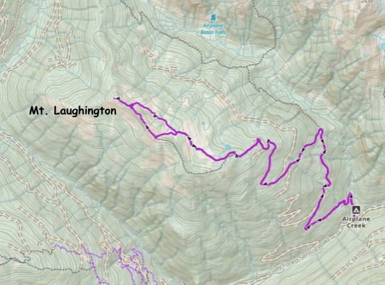
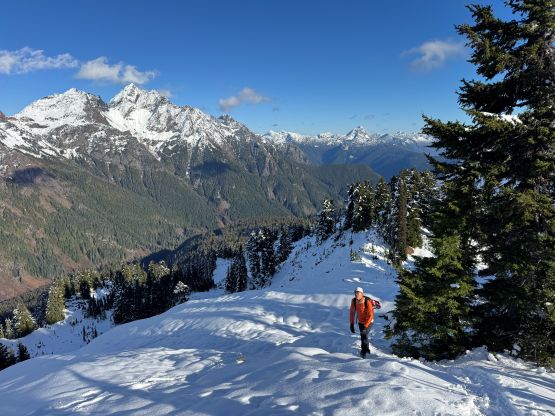
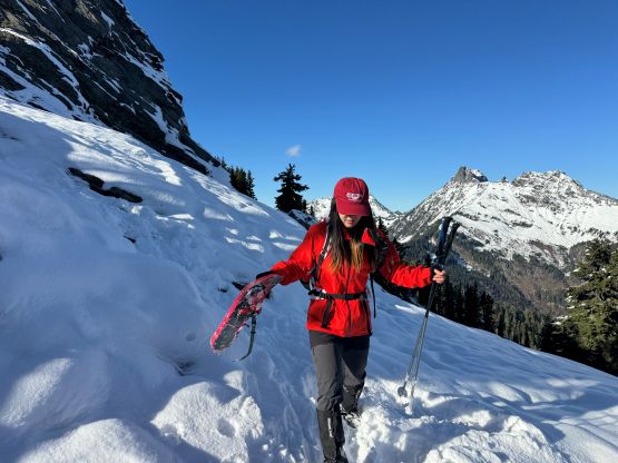
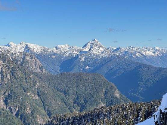
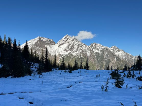
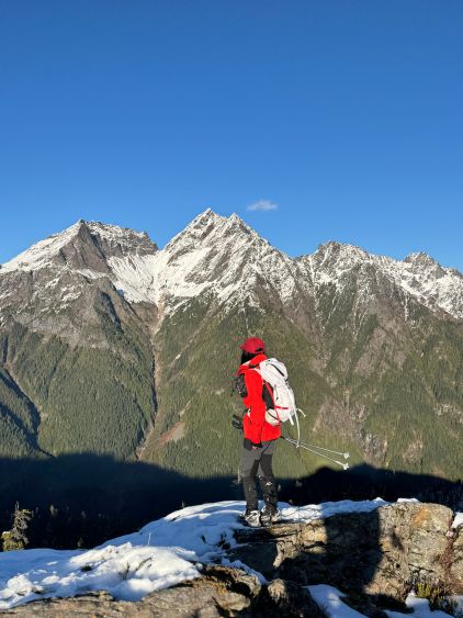
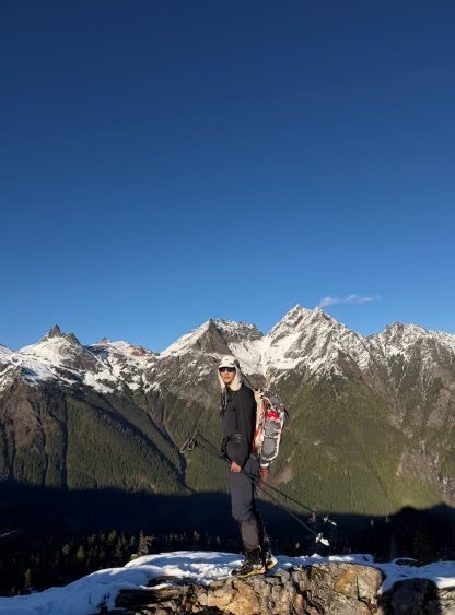
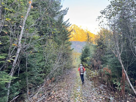
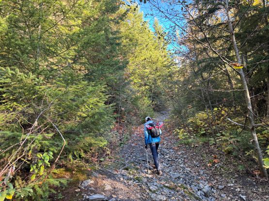
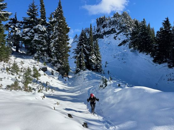
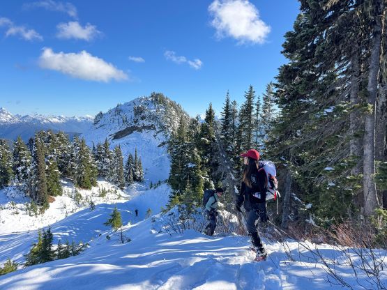
Kostya was mostly leading the FSR walking and the pace was downright blistering, but we were mostly able to keep up the pace but everyone was pushing quite hard. We passed a bunch of people from the other group descending as they were turning around on Mt. Laughington’s route. It turned out that they had missed their turn-off. After what seemed like eternity we finally started to hit snow at around 1300 m and the snow quickly became continuous. Before reaching the end of the FSR walking I called for a break to swap the trail runners for the mountaineering boots. Again I thought maybe the snow wouldn’t be that deep but it was actually quite wintery up high. The proper boots were definitely needed. I wasn’t too sure whether we would take the summer or the winter route but upon seeing the east side bowls we decided to take the winter route but we ascended to the “lookout” to get some views first. I then led us bushwhacking down into the bowl and then we all strapped the snowshoes on.
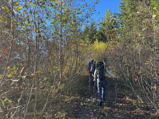
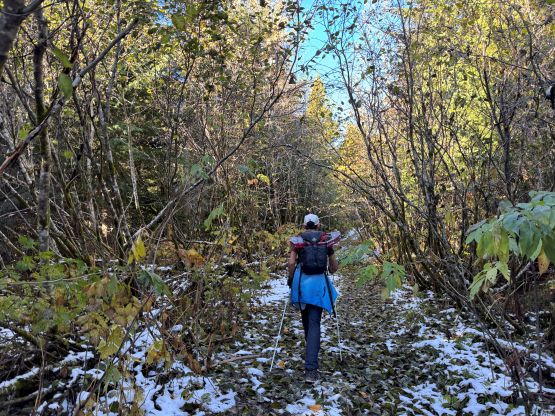
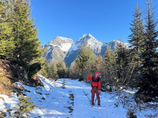
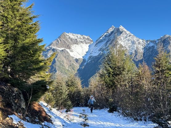
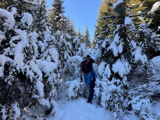
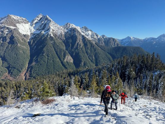
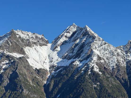
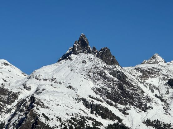
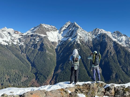
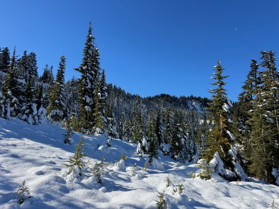
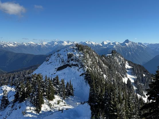
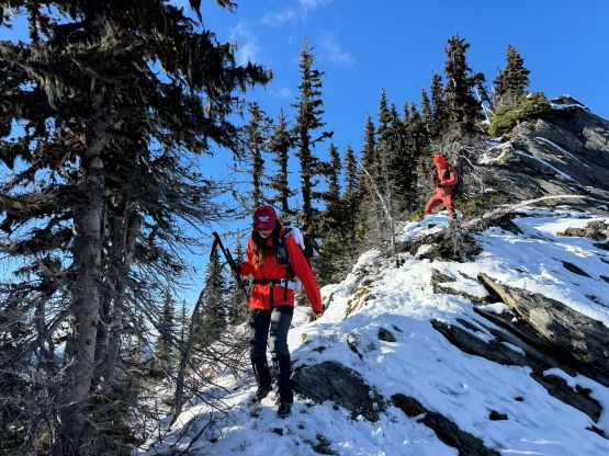
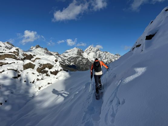
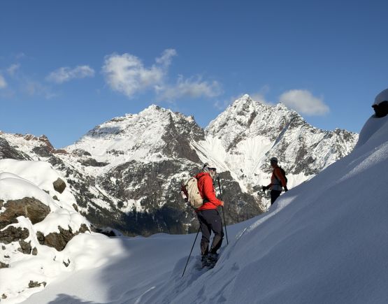
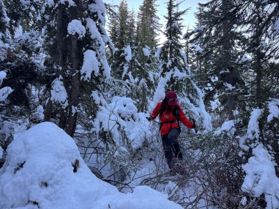
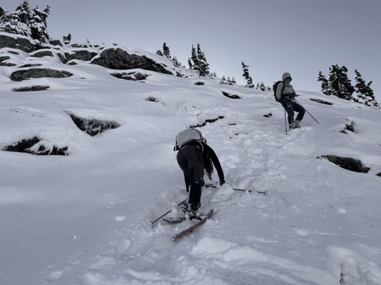
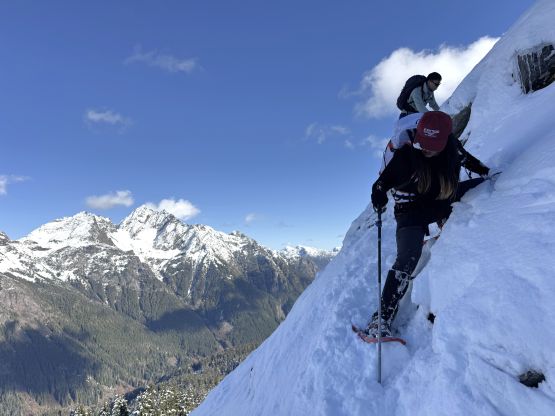
I only had a brief idea about the route based on the satellite images as I had absolutely zero time to do research. We traversed across some bowls and ribs and the elevation change was quite gradual. There were also some unavoidable up-and-downs, but the trail breaking effort was generally manageable. I knew at some point we would turn left (west) to aim for the ridge. I didn’t know where exactly that would be but upon seeing an open slope it started to make sense. In retrospect we should have traversed across another few bowls (and boulder fields) all the way to between the two summits to completely bypass the south/false summit, but at this point I was more keen on joining the summer route as the view would be better from the ridge. The aforementioned open slope was decently steep that I needed to cut some switchbacks for everyone else to follow, on snowshoes. Traversing up and over the first bump after hitting the ridge also wasn’t very straightforward. A few of us went for bushwhacking but I managed to cut a steep side-hilling traverse on snowshoes on the climber’s right side.
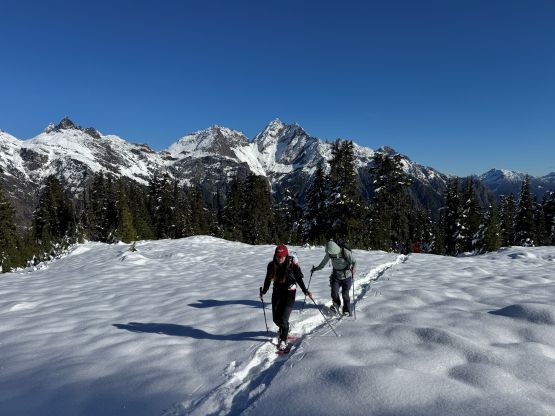
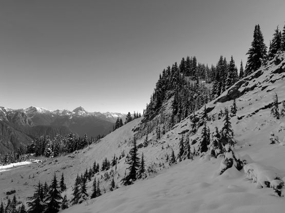
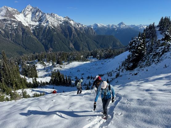
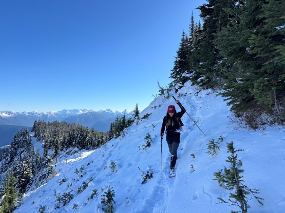
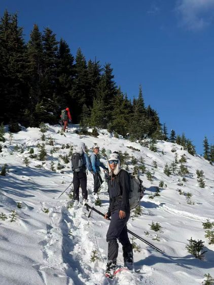
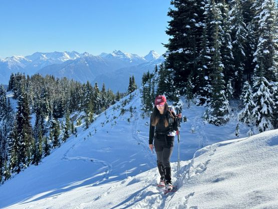
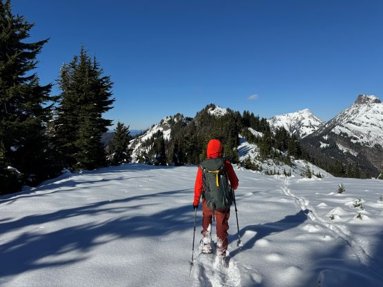
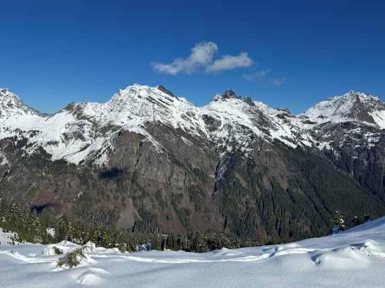
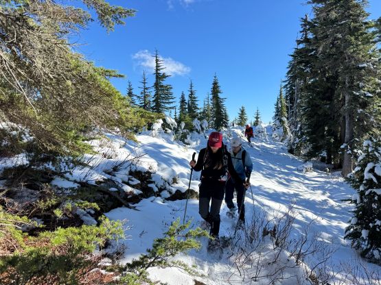
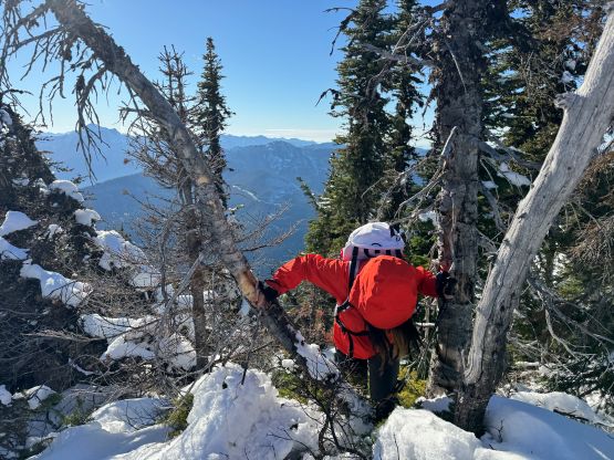
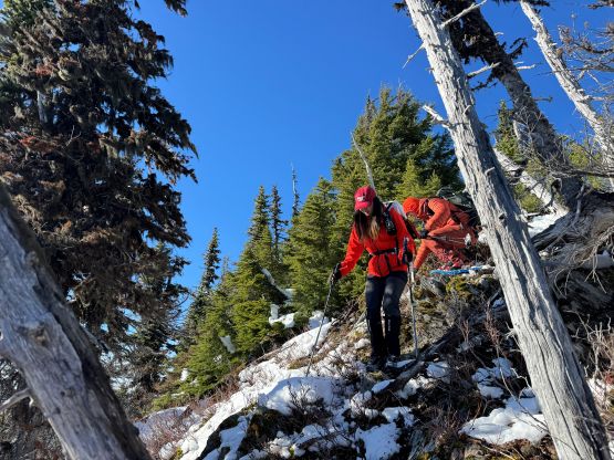
Thankfully the rest of the plod to the south/false summit was straightforward. We even picked up the summer trail at some point as the snow depth wasn’t nearly as deep on the ridge as down in the meadows. There’s a sting in the tail. Most parties would stop at this false summit because the true summit is only ~10 m higher, but that’s not an option for us. To get to the true summit involved a surprisingly difficult down-climb. In dry or very snowy condition this would be fine, but in this shoulder season condition the down-climbing was actually very involved. Kostya and Mike went for the “nose” which I thought would be at least 4th class with decent amount of exposure. I decided to thrash back up to the false summit and re-evaluate. Sure enough, I found that by traversing north we could probably stay entirely on snow, but then that also turned out to be more difficult than I thought. The snow was very thin and the rock underneath was down-sloping. Some very gingerly moves were required and the snowshoes would have to be used basically as crampons. Needless to say, this stretch was a bit sketchy but nobody got hurt and that’s the most important. To ascend to the true summit also involved a few scrambling moves. A few of us ditched the snowshoes. We plodded past the highest point to a better viewpoint with a “cross” and took the long break there.
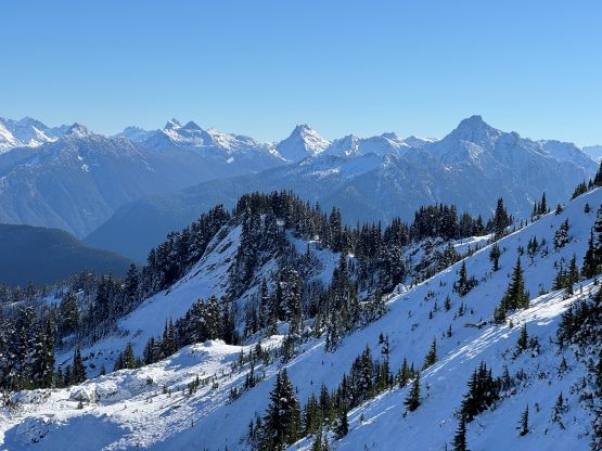
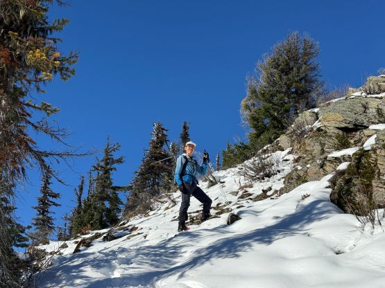
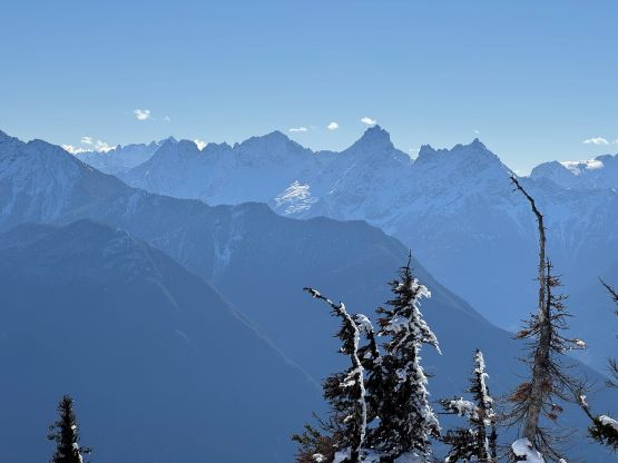
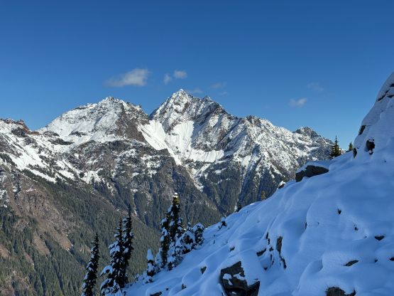
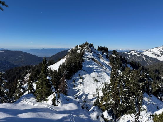
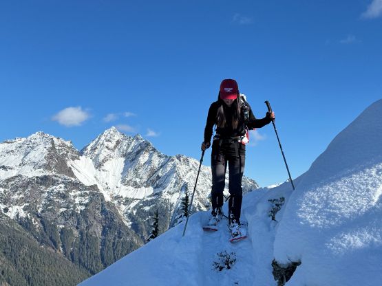
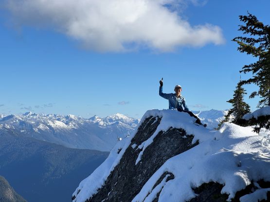
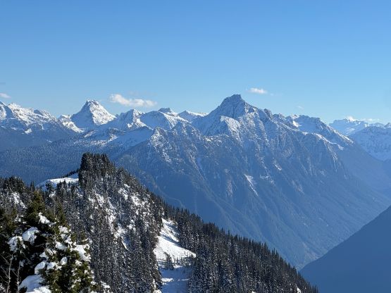
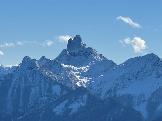
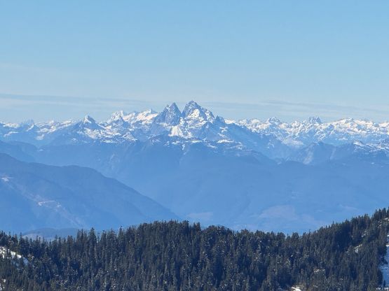
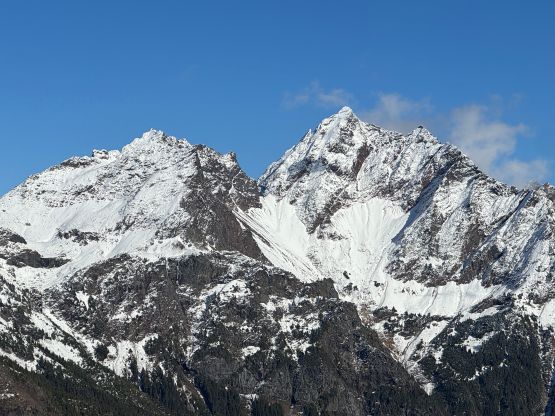
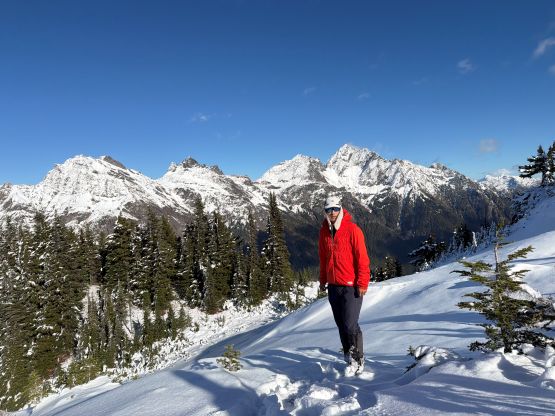
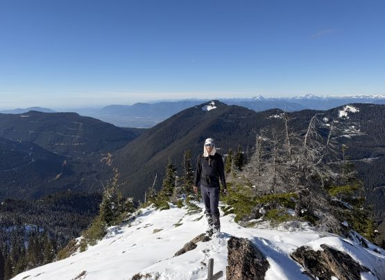
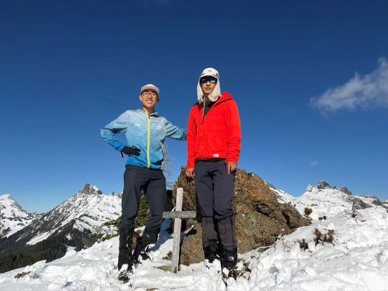
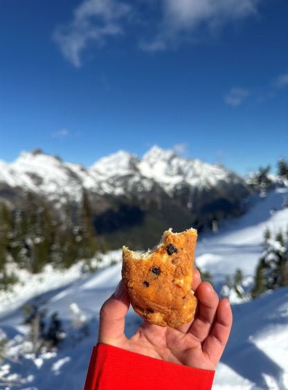
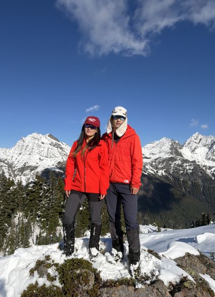
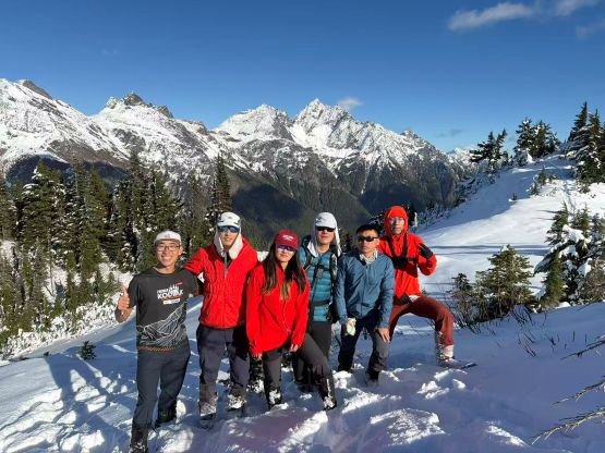
On the descent we all agreed to bypass that south summit as to re-ascend any of the two routes would be very difficult, if not impossible. I thought the only option was to descend the steep slope to the north between the two summits and hope for a reasonable traverse southwards to rejoin our uptracks. This idea worked out in the end. We did have to deal with fair amount of boulder fields partially covered in snow but there’s no notable difficulty. Kostya went ahead to lead most of the traverse whereas I stayed back. For the rest of the descent we simply followed our own tracks and took another long break at that viewpoint. The late afternoon lightnings were excellent. We all somehow ended up running most of the FSR back to the vehicle and the round trip was just over 9 hours. Given the amount of terrain and difficulty this was still faster than I thought. On the way home the three of us in my vehicle went for dinner in Langley’s Big Way Hotpot.