Kings Peak, Dome Peak and Henrys Fork Peak
September 8, 2026
4124m
Uinta Mountains, UT
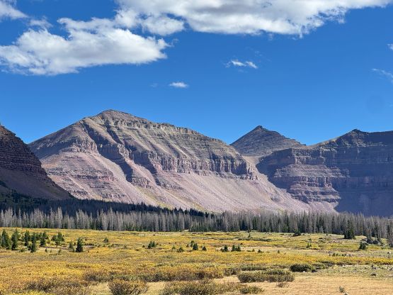
Kings Peak in the Uinta Mountains of NE Utah not terribly far from the boundaries with Wyoming and Colorado is the highest peak in the entire state of Utah, boasting over 1900 m prominence. This is not a “straightforward” ascent due to the long approach, even though there’s minimal technical difficulty to speak of. The shortest approach from Henrys Fork trail-head has the round trip distance close to 40 km with most of that above 3000 m altitude. Doing this in a single push requires one to be extremely fit and well acclimatized. Originally I was contemplating about making this a 2-day outing and in fact, I did have all the necessary overnight gear in the vehicle, but eventually I decided to day-trip Kings Peak as that would allow me to bag more peaks in this trip overall. I wasn’t planning to add the two bonus objectives but this outing wasn’t nearly as demanding as I thought it would be, so I might as well make full use of the time spent in the zone. I most likely will never come back to the High Uintas anyway.
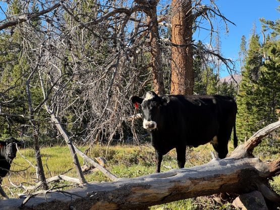
Initially I was planning to solo Little Bear to Blanca Peak traverse in Colorado as that required a much shorter drive from Denver airport, but the weather had something else to say. The forecast wasn’t 100% bomber anywhere in Colorado but the entire state of Utah had at least 2 or 3 days of guaranteed sunny weather afterwards, so I made the spontaneous decision to start the westwards drive. The driving time was about 8 hours and I didn’t manage to leave Denver until 1:30 pm so this was an exhausting push. Much of the route was actually in the state of Wyoming even though neither the starting point nor the destination was in Wyoming. The drive was also very boring and monotonous and I had to constantly fight the gusty crosswinds. I felt the vehicle was being pushed the entire way, and in fact when I got out to gas I could definitely feel the winds. Eventually I turned south onto the gravel roads following the Google Map direction, and drove into the wilderness after sunset. There were a shit ton of animals on the roads so I was glad to still have a little bit of daytime left. I eventually pulled into the parking lot and crashed for the night in the back of the rental AWD. Normally people would prefer doing an alpine start for a 40+ km day but I decided to wake up naturally. There’s no risk of thunderstorms so why not actually enjoying the trip by catching up enough sleep.
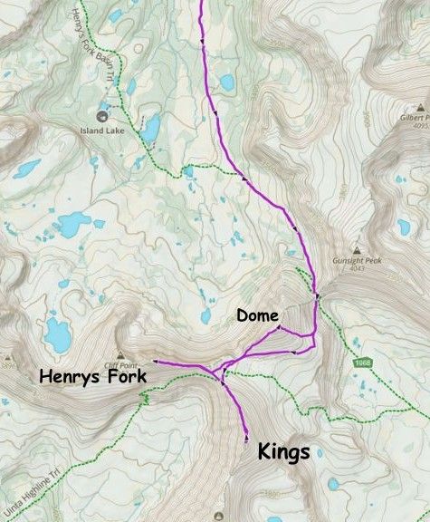
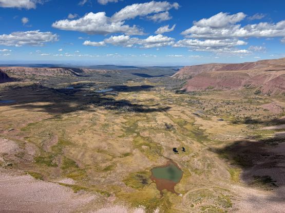
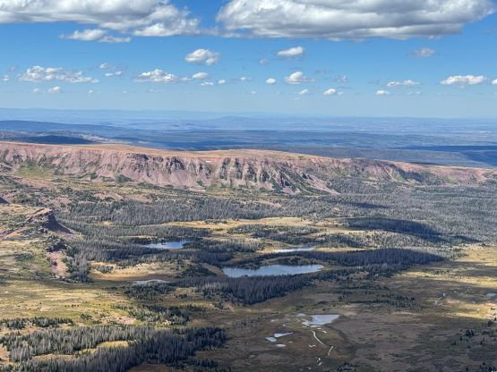
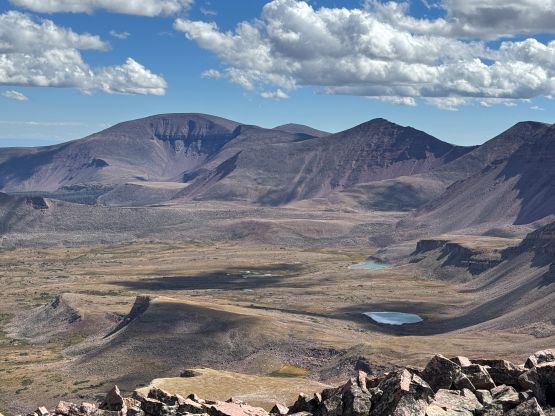
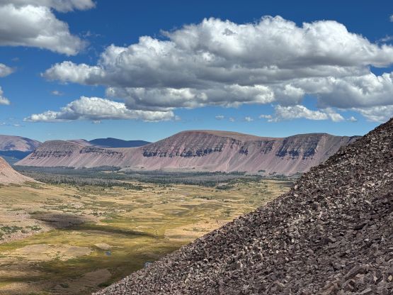
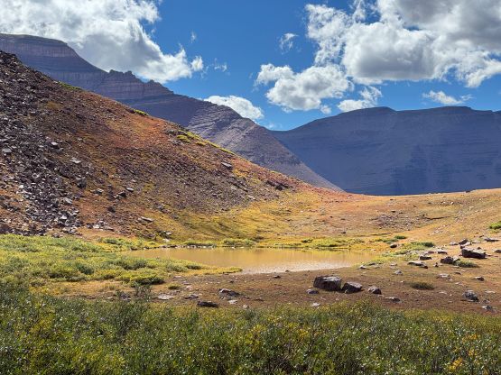
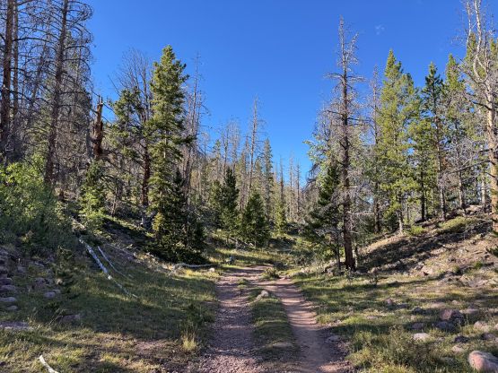
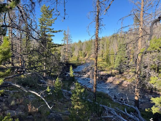
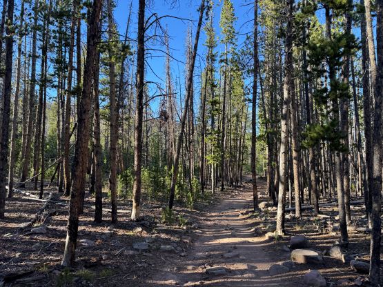
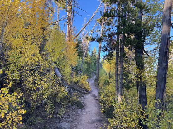
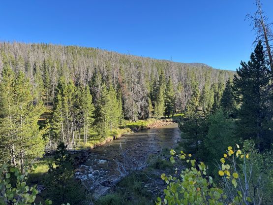
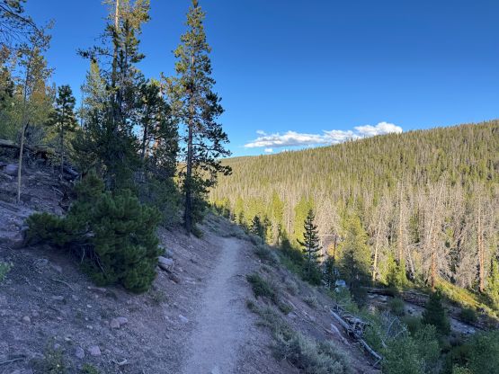
I got up at 7 am and even leisurely had breakfast before starting the trip. A few minutes into the plodding I already had to make a stop to don sun protection and that shows how “late” I started the day. There’s not much worth noting about the 10+ km approach to Dollar Lake vicinity as it’s as monotonous as one could expect. The trail is also used by horses so I couldn’t actually turn into the robotic mode. A lot of the stretches had many rocks on the trail so I did have to watch where I was stepping for at least 50% of the distance, which was very annoying. I made a single dash to a notable stream past Dollar Lake turn-off and did the first break of the day, mostly to load up the water bottles. The quality of this water source was questionable but I did not bring a filter, so there’s not much I could do. Fortunately somewhere higher up while plodding towards Gunsight Pass I found a smaller but much cleaner stream. I dumped all of the water that I had carried and re-loaded the bottles there. At this point I was already thinking about adding some bonus peaks as the progress was faster than I thought. The sub-peaks are all P100m and some even have nice looking profiles.
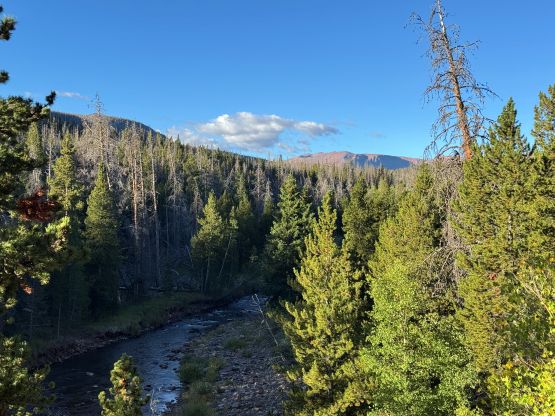
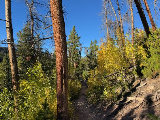
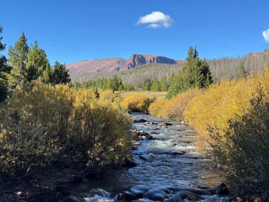
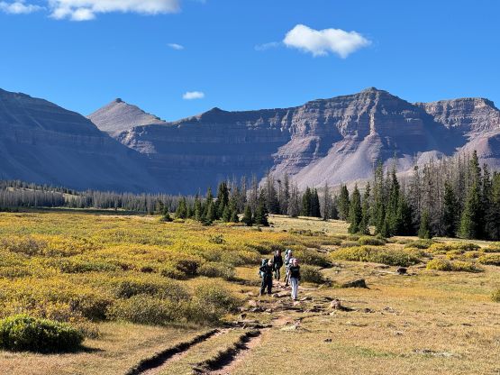
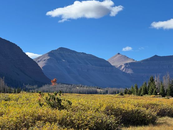
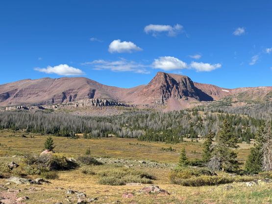
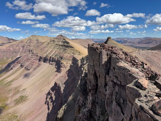
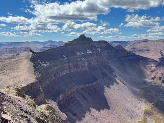
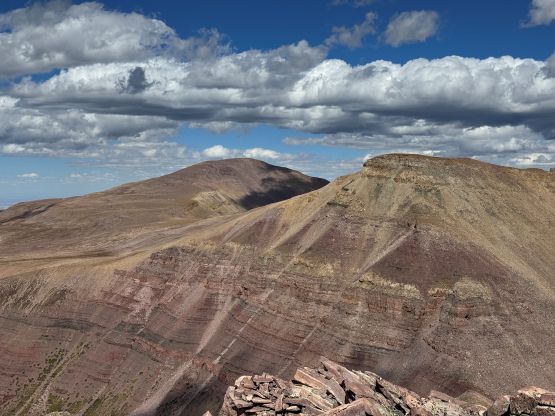
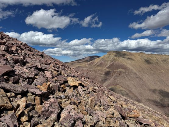
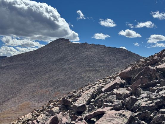
From Gunsight Pass the “trail” becomes unofficial but the path was still well trodden and easy to follow. I decided to take the shorter variation by wrapping around the SE corner of Dome Peak. There’s a steep ascent on a path followed by a long side-hilling bashing across the south slopes to reach Dome/Henrys Fork col which is also known as “The Toilet Bowl”. I think I stayed too high on the south face traverse and ended up dealing with a lot of unnecessary boulder hopping. I didn’t mind boulders so whatever. From the “Toilet Bowl” I went for a direct ascent to Kings/Henrys Fork col ignoring the existing paths and then scrambled up the standard north ridge of Kings Peak to the summit. The north ridge was longer than I thought with some micro-terrain to content with, but the scrambling was mostly “class 2”. There was significant amount of talus hopping though. I thought about traversing further to tag “South Kings” but decided to conserve energy for the two closer bonus peaks that actually have independent names. To my surprise there’s cell reception on the summit so I wasted some batteries and did some socials updates.
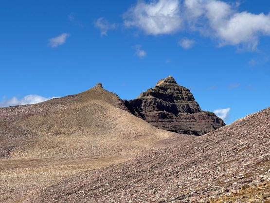
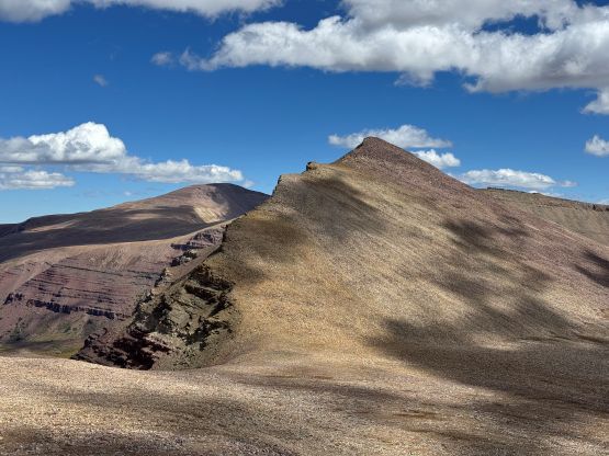
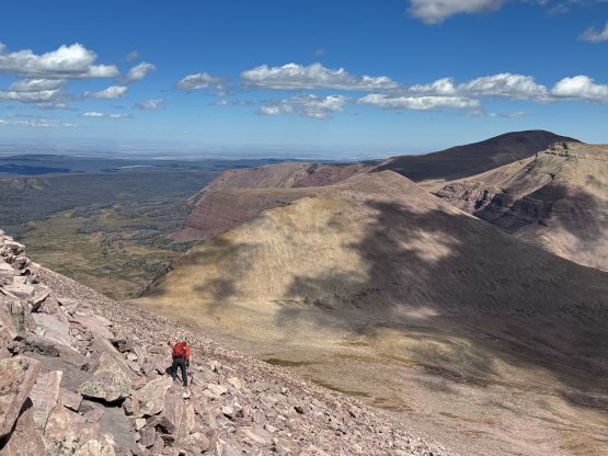
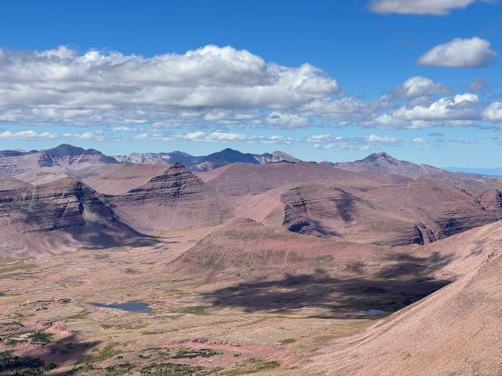
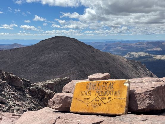
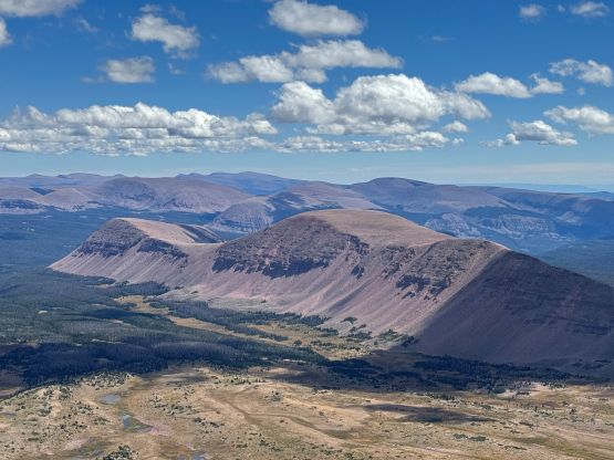
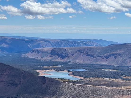
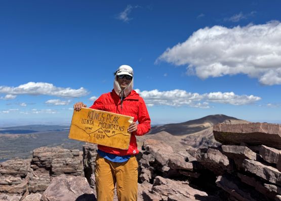
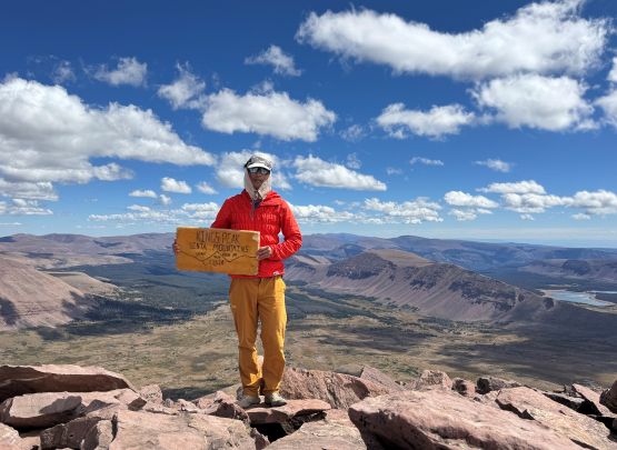
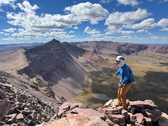
Descending the north ridge was tedious but didn’t take too long. To my surprise the solo hiker whom I passed earlier was still going up, at a snail’s pace. In short time I was back to Kings/Henrys Fork saddle and made the final decision to add Henrys Fork Peak into the itinerary. It was very tempting to get lazy but I knew this was my one and only chance getting that summit, so I must press on. I had no “beta” about the scramble whatsoever, but the connecting ridge (East Ridge) seemed like a viable way that might offer some fun scrambling. I was mostly correct. The scrambling turned out to be minimal and the route was longer than appeared, but the position was actually quite excellent. I got some good exposure down the north face of Henrys Fork Peak. The summit register is also much less frequently signed.
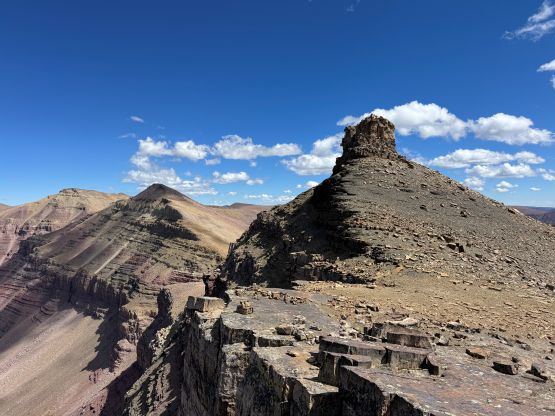
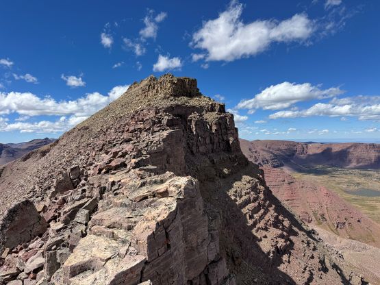
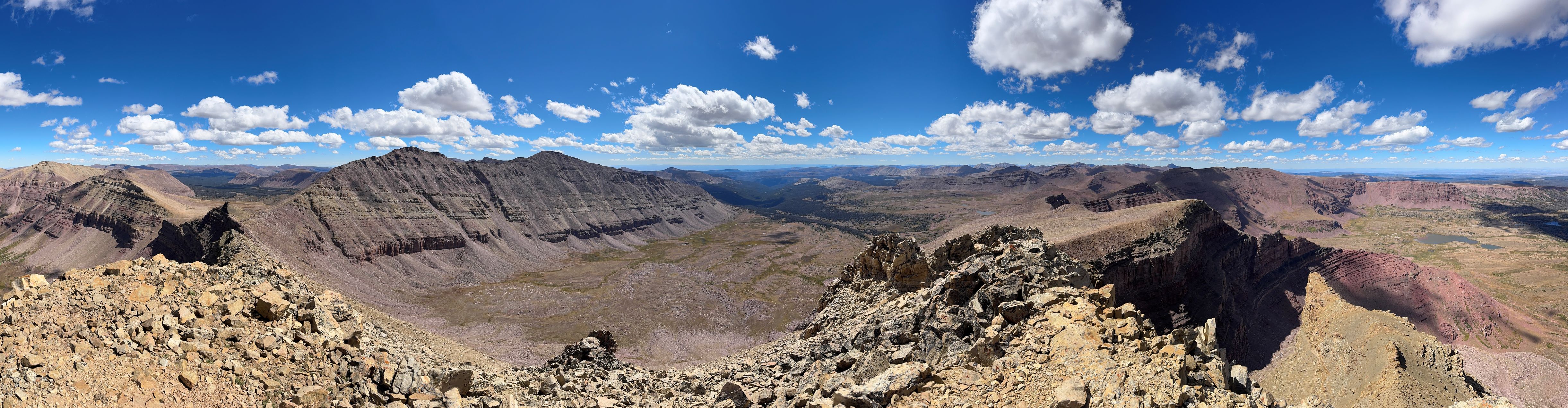
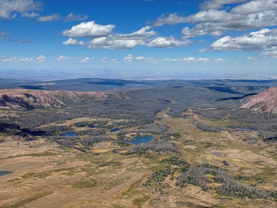
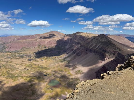
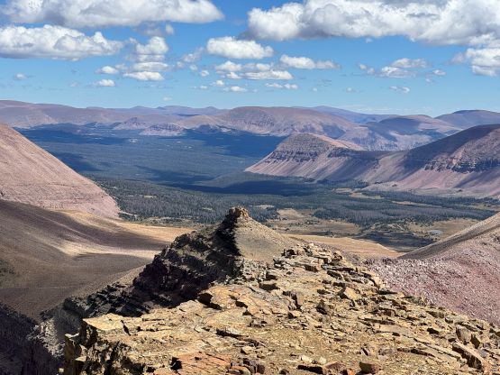
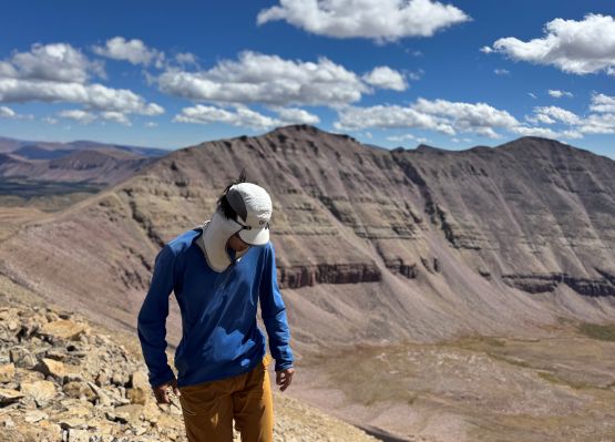
A while later I returned via the exact same route and then took a more direct descent back into The Toilet Bowl. Dome Peak appeared rather lame but it’s both officially named and P100m so I had no excuse. I slogged my asses up the SW Ridge gaining close to 200 m elevation and topped its summit. The upper route had some unstable boulders. To descend I went down the SE Ridge which again, was very tedious thank to the loose boulders. I would suggest skipping Dome Peak unless peakbagging is your sole motivation. There’s not much worth noting about the long ass plodding back to the trail-head but generally I managed to maintain ~6 km/h pace. I wasn’t running but was able to power-walk the entire way out, concluding the round trip in less than 11 hours, covering 42 km distance and 1500 m cumulative elevation gain. The day wasn’t done yet as I had decided to do Mt. Nebo on the following day, and to position myself for that one I must drive an additional 4 hours afterwards to the south side of Salt Lake City vicinity, which was downright miserable but no push, no gain. I forced in two bottles of Red Bulls and got to the trail-head by 1 am.