Jumbo Mountain, Karnak Mountain and Commander Mountain
July 19-20, 2026
3437m
Radium Hot Springs, BC
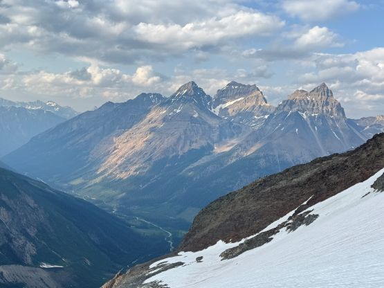
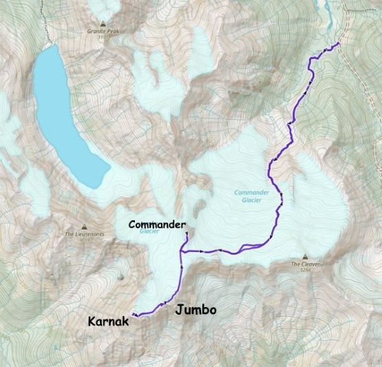
These are the three 11,000ers in the Commander Group of the Purcells and Jumbo Mtn. is the highest of those and also the one that boasts over 700 m prominence. The other two peaks don’t have a lot of prominence but are worthy objectives in their own. For those going after the 11,000ers it makes perfect sense to do all three of them in the same trip but to line up the weather/conditions with the availability of partner(s) isn’t a straightforward thing. The ultra-light parties could have done them in one day from the parking lot but an overnight stay high up on the glacier makes the most sense for the most of us, especially when the route “beta” wasn’t even that mature, which was the case when this trip happened. For Jumbo Mtn. there are two reported routes and two summits. In the old days (one or two decades ago) the glaciated dome was the highest point but thank to global warming the true summit is currently the rocky tower. The two summits are separated by a technical gap with unknown difficulties but the rocky tower (true summit) had a “scramble route” via the backside from Jumbo/Karnak col, and that’s the one we planned to take. In retrospect the technical difficulties to traverse from the glaciated dome summit should be no worse than “low 5th class” with plenty of cracks to put in pro, so future parties should take that as consideration.
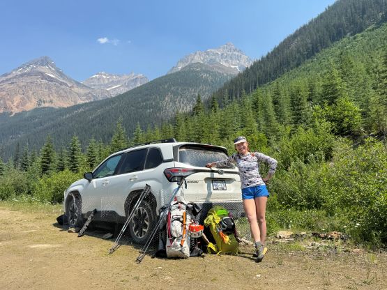
Haldan had laid out an itinerary and the weather seemed solid, so Erica and I decided to join. The three of us together had climbed Mt. Delphine and Mt. Peter recently. Haldan would bring Sophia along and we would be travelling in two independent rope teams. There was also a recent update from “Foresty Forest”, Mackenzie Booth and “Peak Pirate” so we knew what roughly to expect. They had specifically built a new foot bridge crossing Farnham Creek and also did some trail work on the lower sections, so we appreciated their effort. They unfortunately didn’t climb the technical gap between the two Jumbo’s summits so we didn’t have that part of the “beta” dialed in. On hindsight we should have climbed the gap as that’s the easiest/safest way of tagging Jumbo Mtn., but on the other hand the lack of information made us doing a traverse of the peak, which was quite cool. Erica and I left Vancouver on Friday after work and pushed all the way to Revelstoke to settle for the night. The next morning we woke up rather leisurely and did the rest of the driving into the Purcells. The FSR portion took about 1.5 hours and the transitions were also longer than expected. I had also come prepared with a brand new coil of chicken wires and wrapping them around the vehicle also took some time. In the end we didn’t start hiking until 1:30 pm and that was almost 2 hours later than planned. Haldan and Sophia started about 4 hours earlier than us but we expected to catch them up at some point. Our plan was to tag Commander Mtn. in the evening so we didn’t have a lot of time to waste. Also worth to mention that both Erica and I were dealing with some overuse injuries with hers being slightly worse than mine, so we wouldn’t be going at our full speeds.
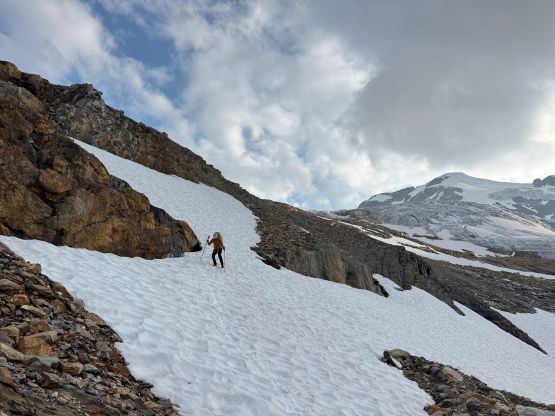
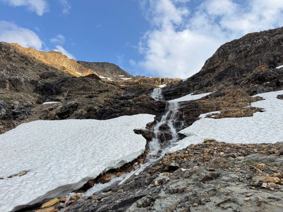
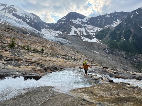
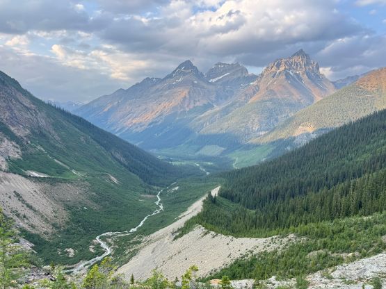
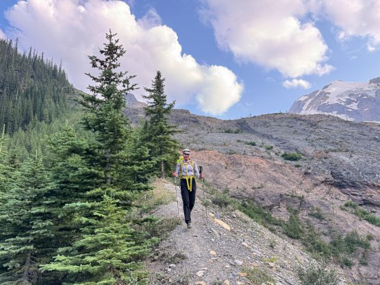
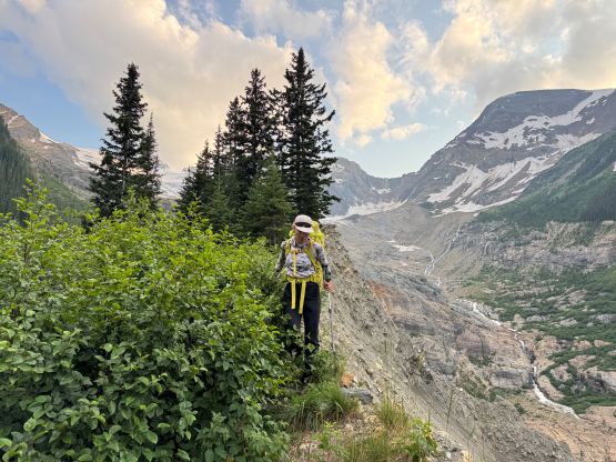
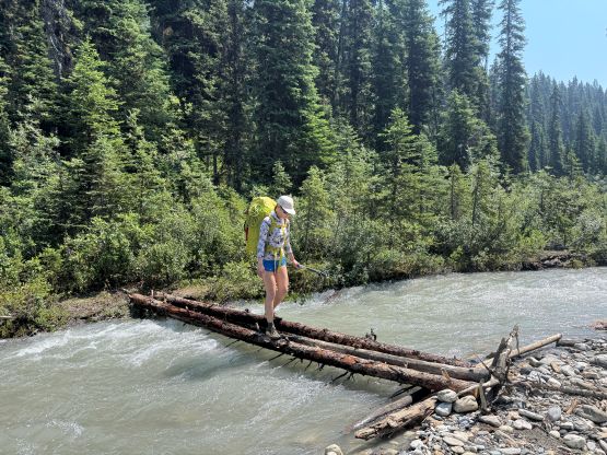
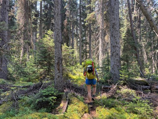
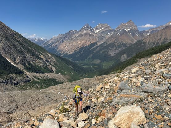
A bit of descending later we came to the foot bridge crossing Farnham Creek. The bridge wasn’t in the best shape but made do for the current water levels. Without the bridge the fording could also be easily done so whether the bridge’s in or not wasn’t critical for the success of this trip. The lower (flatter) part of the trail definitely had seen some recent work so we got to the base of that gigantic moraine in no time. Plodding up the crest of the morning we also had a trail to follow at times but the erosion was definitely not nothing. We had to constantly detour around into the bushes to bypass some dangerous sections on the crest of that moraine. Eventually the moraine gave way to some “easy scrambling” terrain and we followed Brandon’s GPX track traversing diagonally climber’s right on a ramp/ledge system. Above this section we came across infinitely amount of running water and took the first long break of the day. Crossing the main creek appeared difficult if not impossible and we had to ascend a ways up from their GPX track to find a spot to (barely) make it work. This was the first crux of the trip. The shoes had to be taken off, of course.
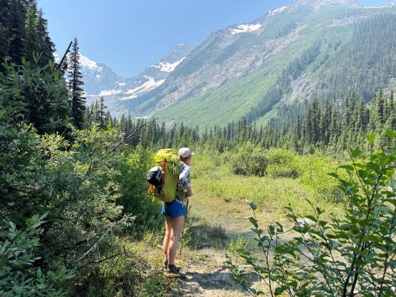
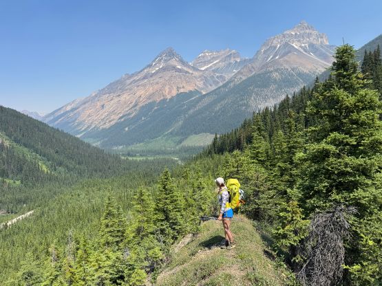
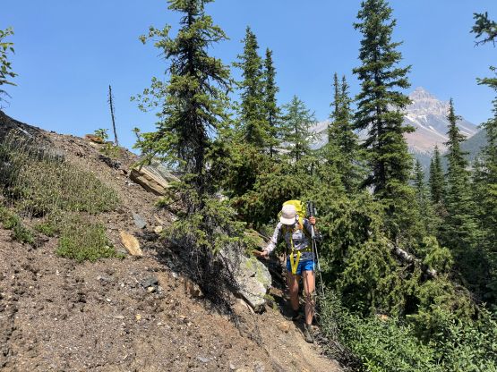

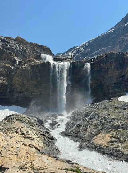
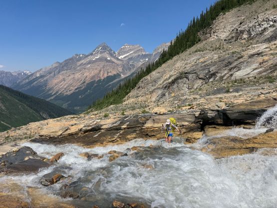
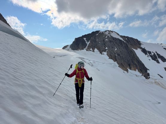
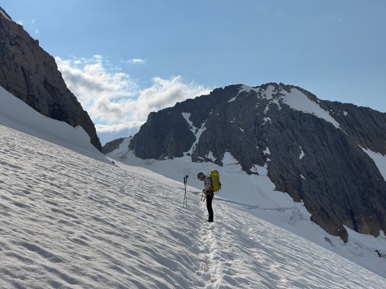
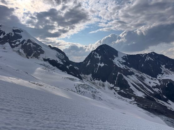
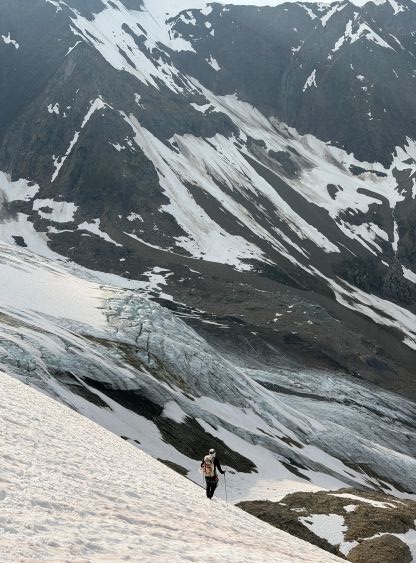
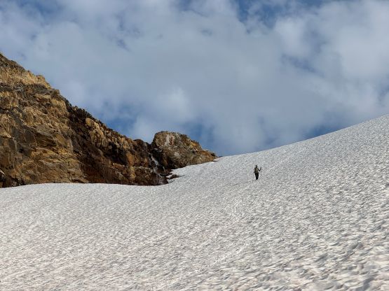
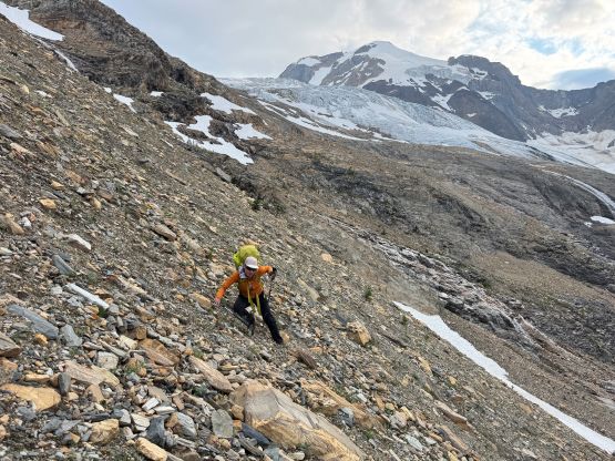
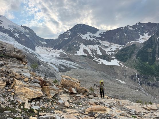
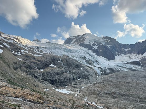
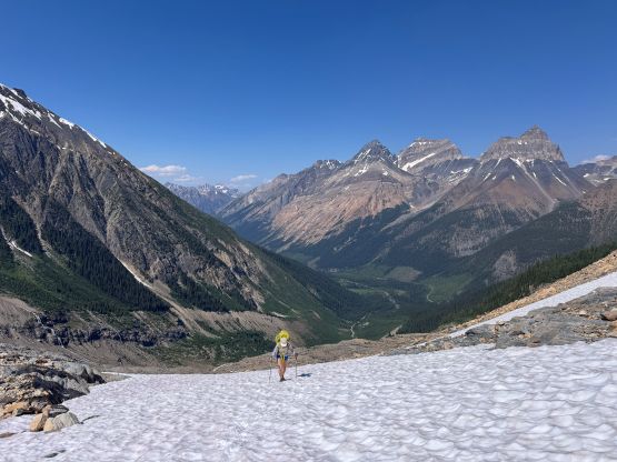
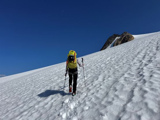
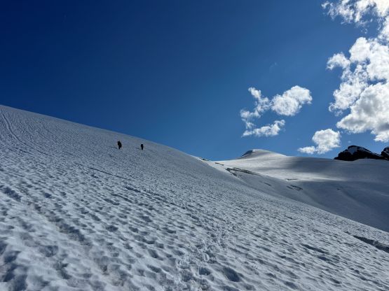
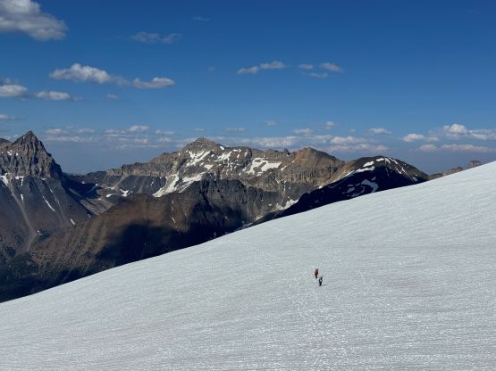
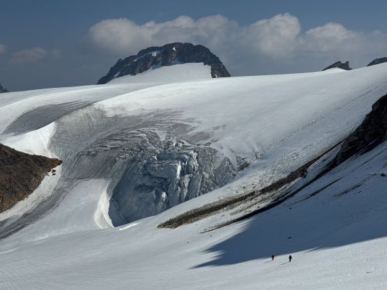
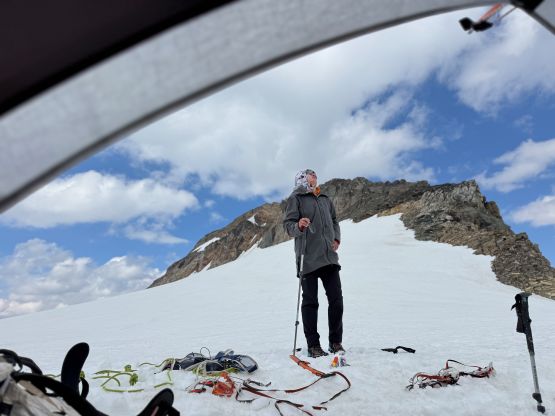
The next section to gain the edge of Commander Glacier was confusing to say the least, so our strategy was to stick as closely to the GPX track as possible, but we did not cross the creek at the exact same spot and we also didn’t want to do unnecessary elevation loss. As a result we were mostly traversing above their track. I don’t know what exactly they had encountered but our route involved fair amount of traversing on hardpacked moraine, which was arguably my least favourate type of choss especially wearing trail runners. At around 2500 m we took another break at the highest source of running water and also donned harness, crampons and mountaineering boots. The rope stayed in Erica’s pack since we could clearly follow Haldan and Sophia’s tracks. The start of the glacier was quite steep and the initial rolls were fairly foreshortened. A while later we could see them plodding ahead and we caught up to them roughly at 3000 m band directly underneath The Cleaver. Erica and I then roped up and led the rest of the plodding to Guardsmen/Commander col but we were also following some existing tracks. There were at least two sets of tracks and none of which was from Foresty’s group (quite a popular zone). The glacier travel was generally straightforward but dragged on forever, and the winds were quite chilly at the col. Unfortunately there was no sheltered spot to place the camp so we just randomly pitched the tent on a relatively flat section on Jumbo Glacier side of the col. The winds were definitely howling but Erica and I did not bring a shovel, so we spent quite a while building a snow wall.
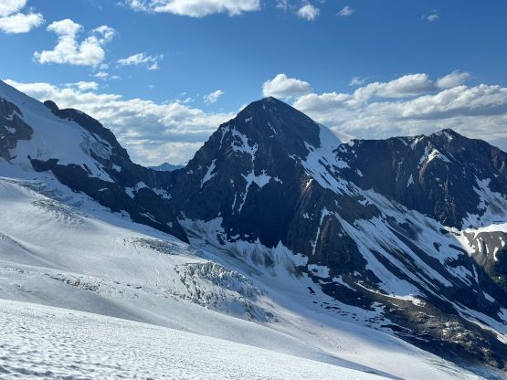
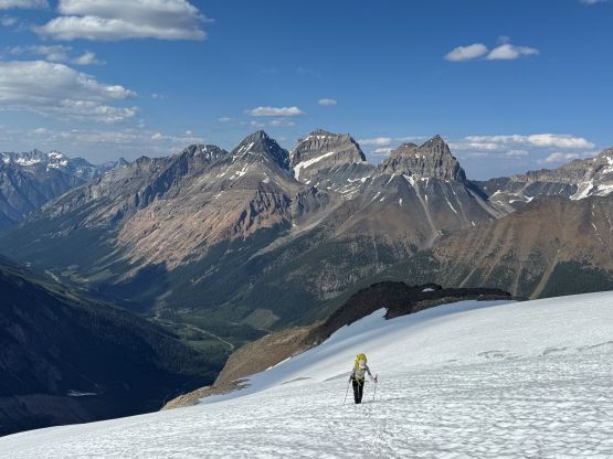
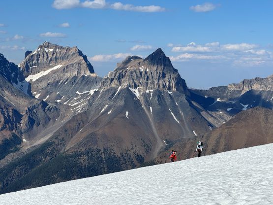
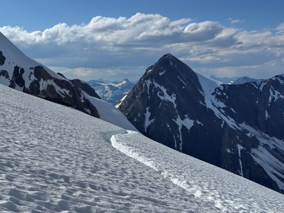
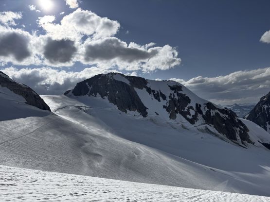
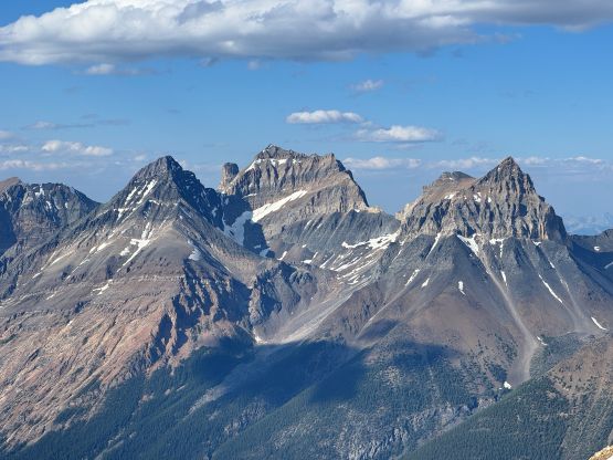
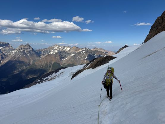

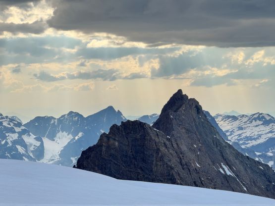
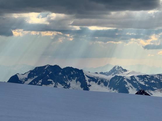
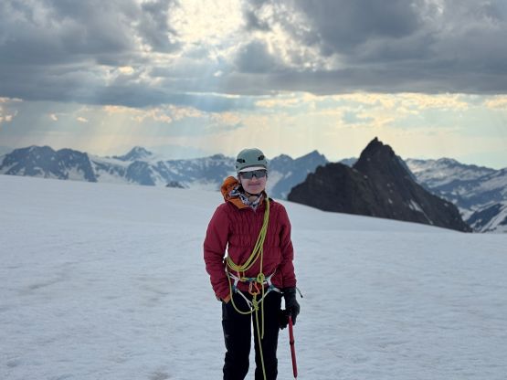
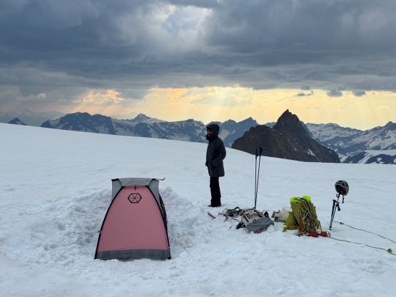
Haldan and Sophia eventually caught up and pitched their tent right behind ours. They were on a 2-nighter itinerary so Erica and I were on ourselves scrambling Commander Mtn. in the evening. I wanted to summit right around sunset but it was a bit colder than I liked, so we went up a bit earlier. The lighting was still excellent, though. Erica and I carried absolutely nothing so this was essentially a light-and-fast grab. We easily booted up some snow slopes and scrambled some class 3 choss onto the south ridge. The south ridge was then followed to the summit, but we couldn’t stay exactly on the ridge crest the entire way. There were several exposed scrambling sections and the individual moves were probably up to class 4. The true summit itself was not very spacious and could only accommodate one person at a time. The descent was then uneventful and we still had some fine evening colours once back to camp. The night was cold as fuck. I had to wear absolutely everything that I had brought in the -7C sleeping bag.
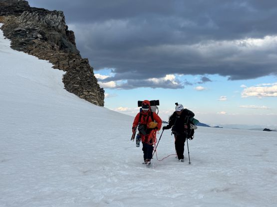
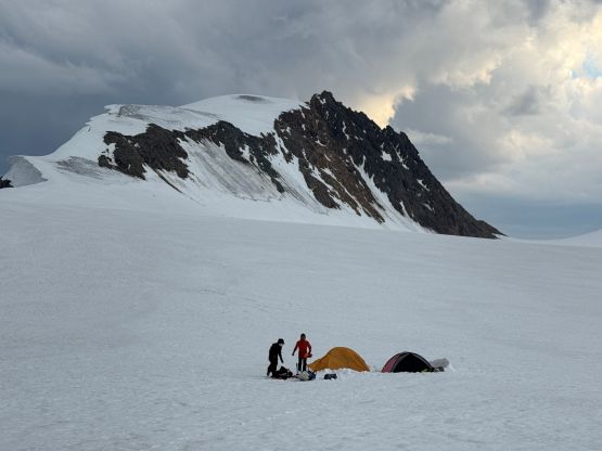
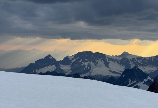

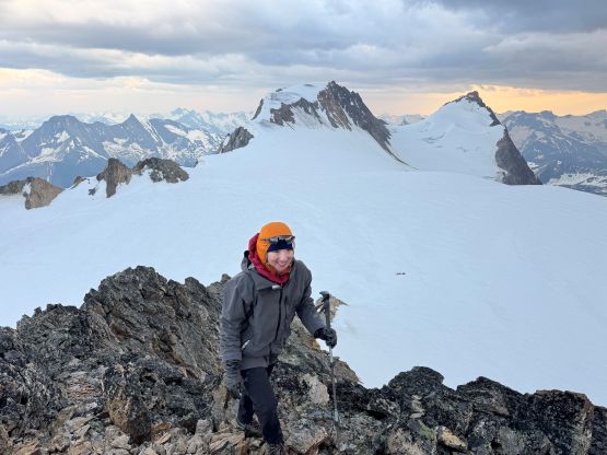
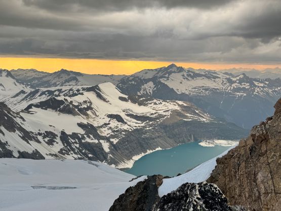
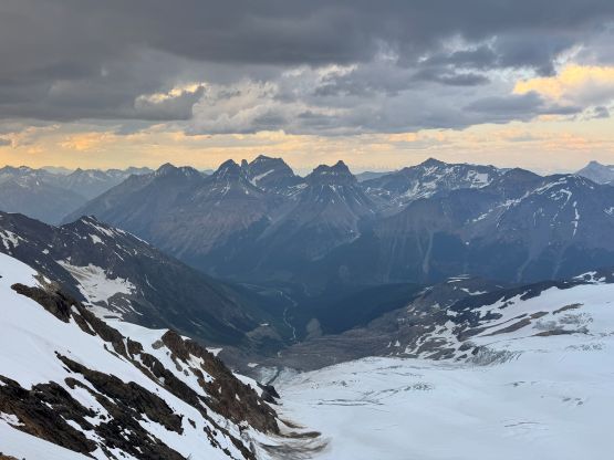
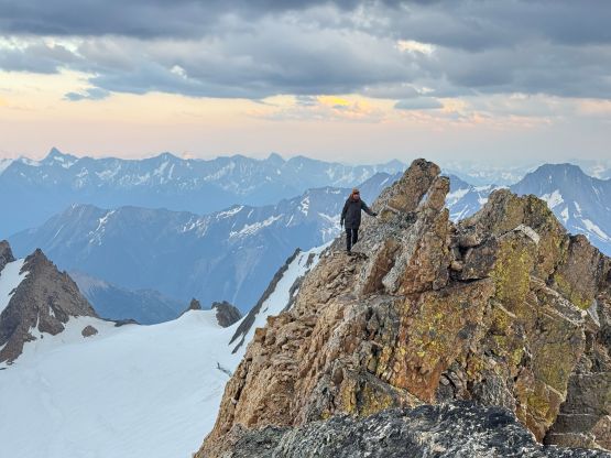
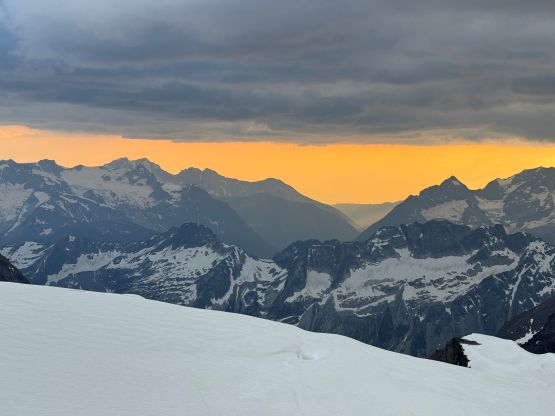
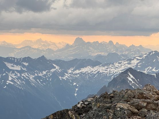

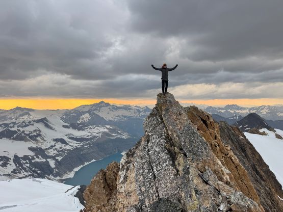
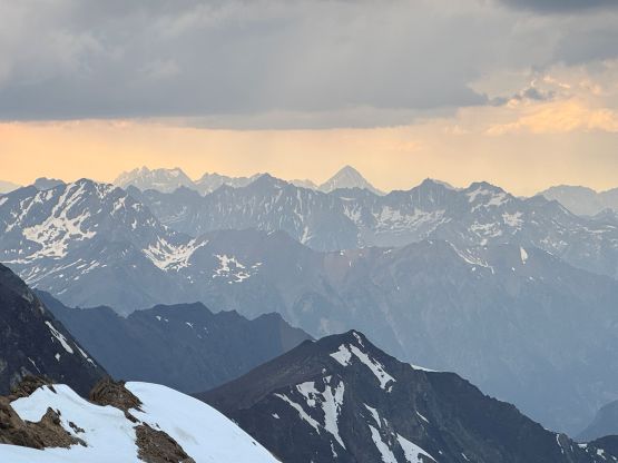
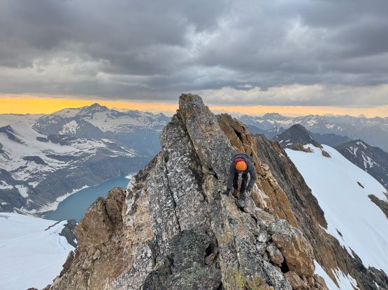
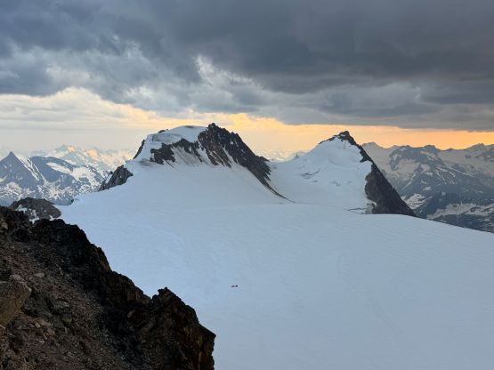
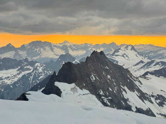
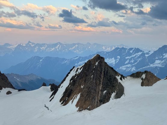
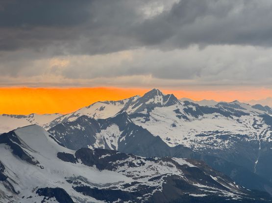
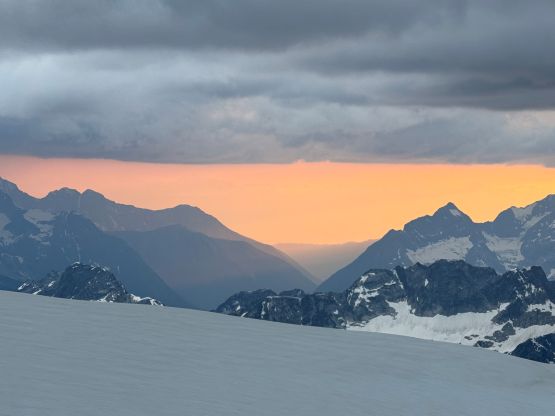
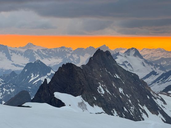
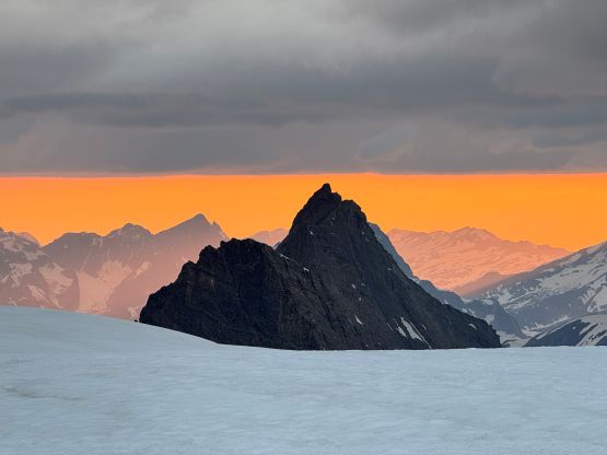

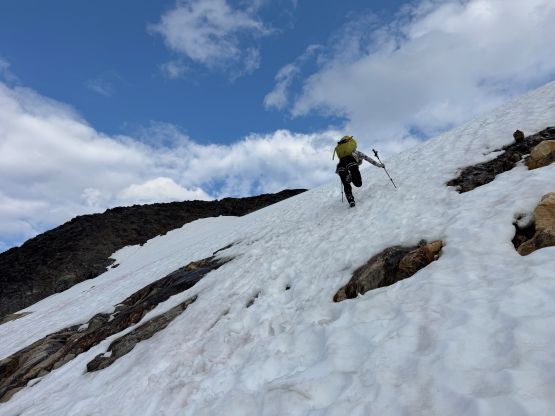
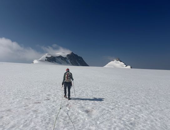
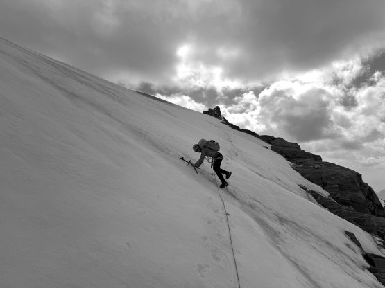
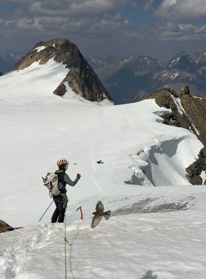
The next morning we woke up at around 7 am in some intermittent white-outs and that was not in the forecast. We could see blue skies above the thin cloud layers and it was still cold as fuck, so the plan was made to sleep in for at least another hour or two. Fortunately by 9 am the clouds started to dissipate and it was finally not that cold anymore. The four of us eventually started the day at around 10 am. The plan was to go for Karnak Mtn. first and then possibly make a traverse up and over Jumbo Mtn. which should minimize the elevation loss and regain. This was the section that I forgot to turn on the GPX tracking so the file was missing the section from camp to Karnak Mtn., but fortunately the glacier travel was relatively straightforward at least in “mid July”. I led the entire way and there were only a couple sagging to be aware of. The side-hilling descent underneath the NW slopes of Jumbo Mtn. was quite steep though, and ideally this stretch should be done when there’s still snow on the glacier.
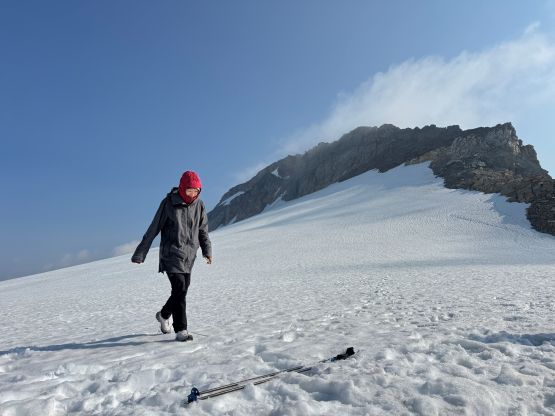


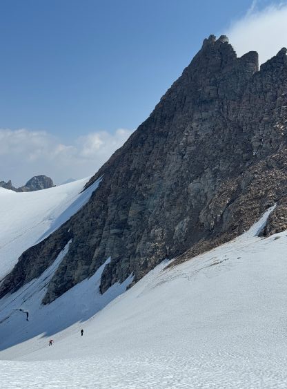
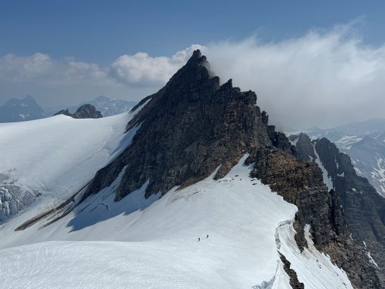
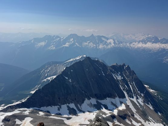
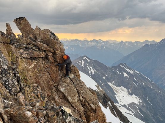
The four of us regrouped at the base of Karnak Mountain’s SE Ridge which was the start of the scrambling ascent. I had no idea what exactly to expect and for some reasons I thought this was a “no brainer objective”. It was definitely not. The correct route which Haldan and Sophia took was to stick on the ridge crest but I thought we had to traverse left onto the south face. Erica and I had to slowly work our way leftwards on some down-sloping 4th class terrain and eventually crossed the snow/ice gully which necessitated taking both ice axes out. A few steps were actually made on ice. Higher up we also made a mistake by detouring onto the south face side which ended up being mostly 4th class with at least one class 5 move. Fortunately terrain like that couldn’t cause too much trouble for us and we still got to the summit faster than Haldan and Sophia. They were only 5-10 minutes behind so we knew right away that they must have taken a more efficient route up, which was the case.
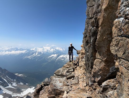
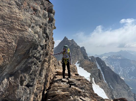
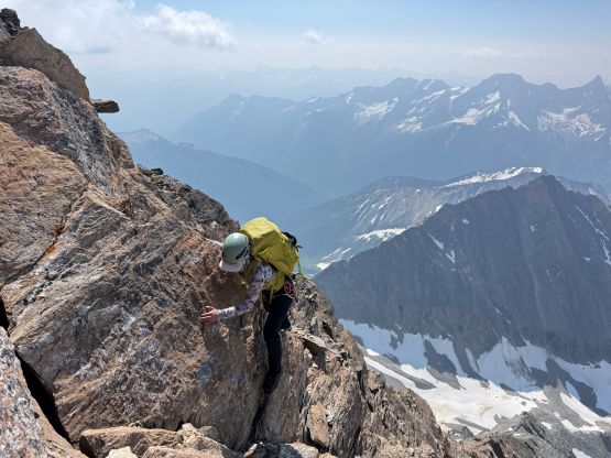
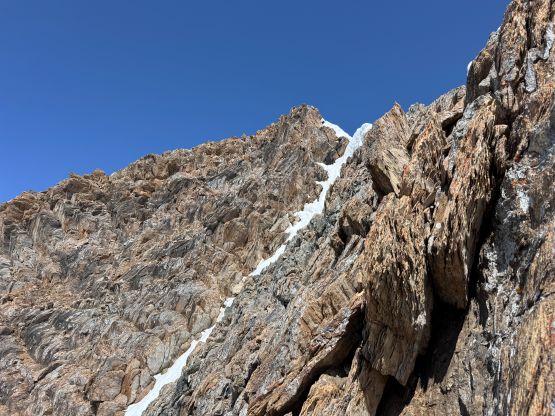
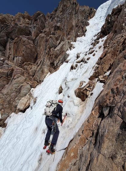
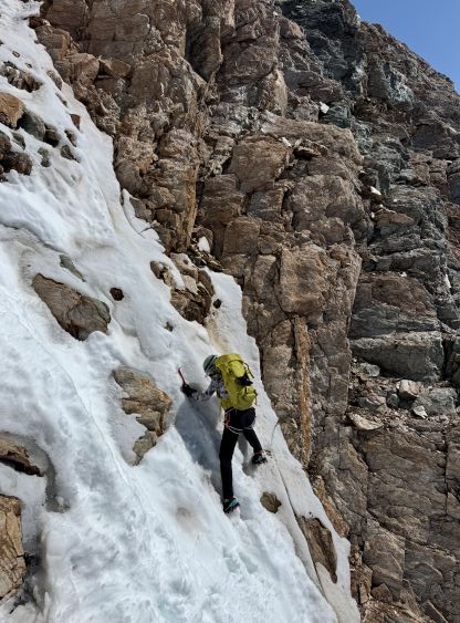
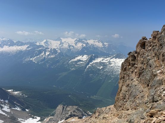
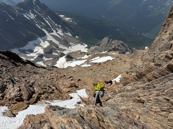

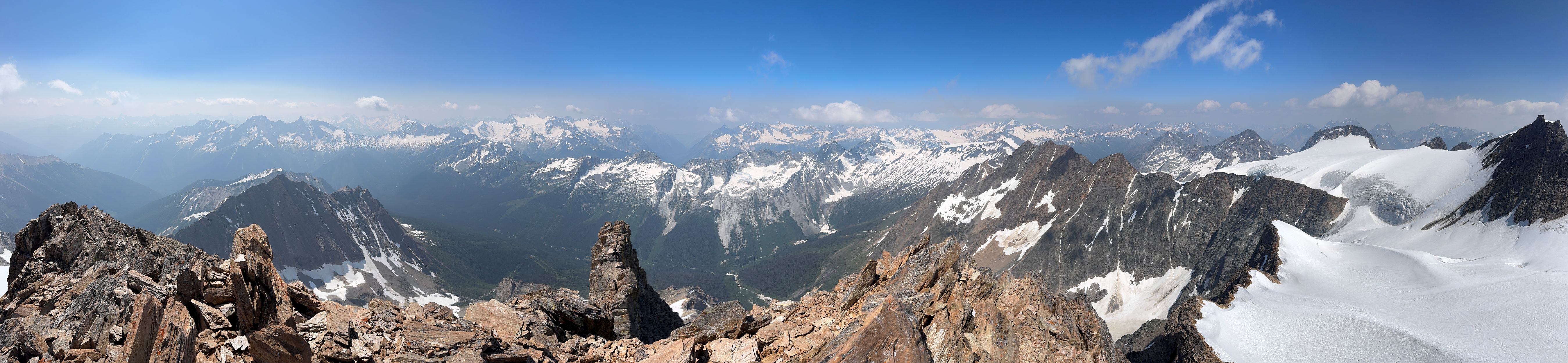

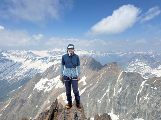
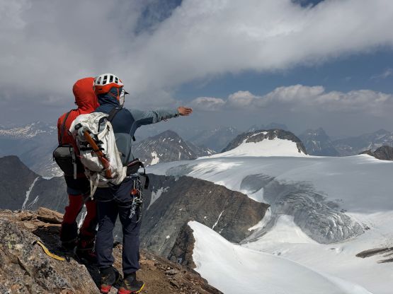
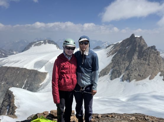
On the descent we all took the SE Ridge sticking as close to the ridge crest as possible. There were two sections of steep and rotten snow to content with but the rock was mostly only 3rd class and wasn’t too loose. We did have to descend all the way to our own entrance point since we had left some gear in that spot. I think I know the most efficient/easiest way to tag Karnak Mtn. at this point but it wasn’t straightforward to figure that out in situ and without any “beta”.
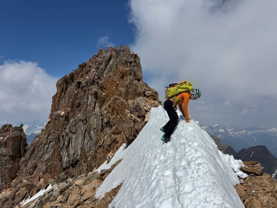
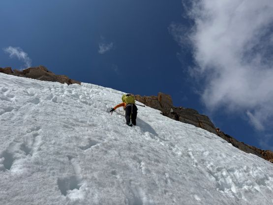
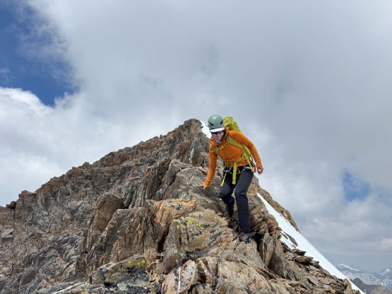
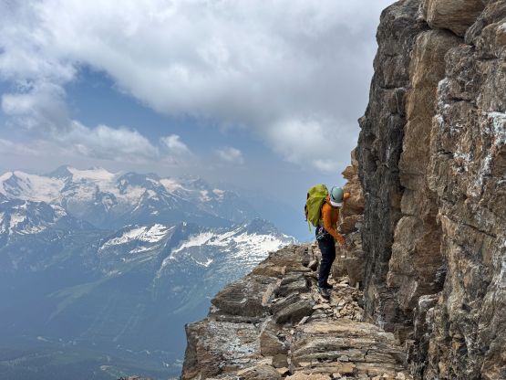
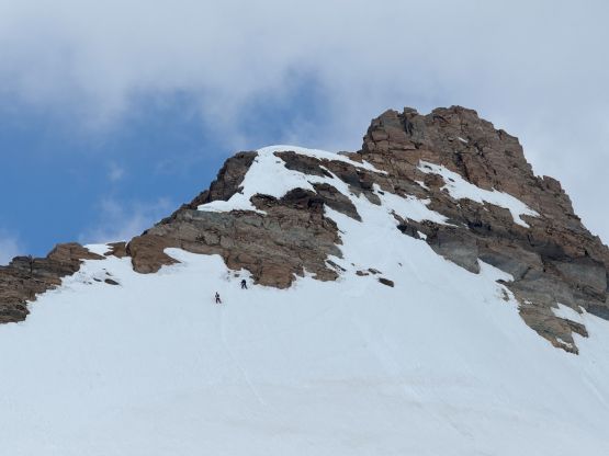
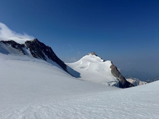
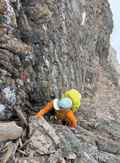
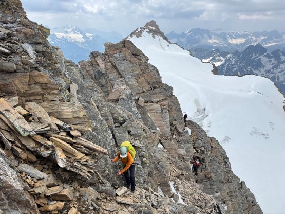
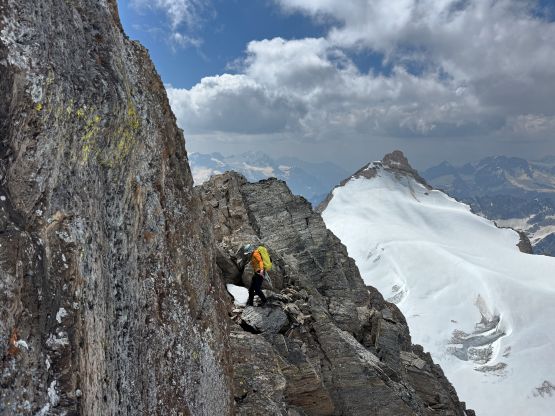
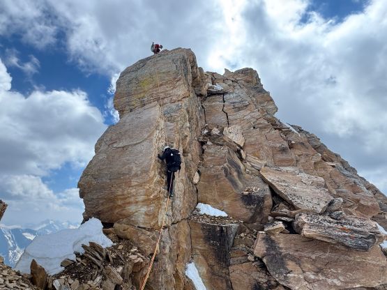
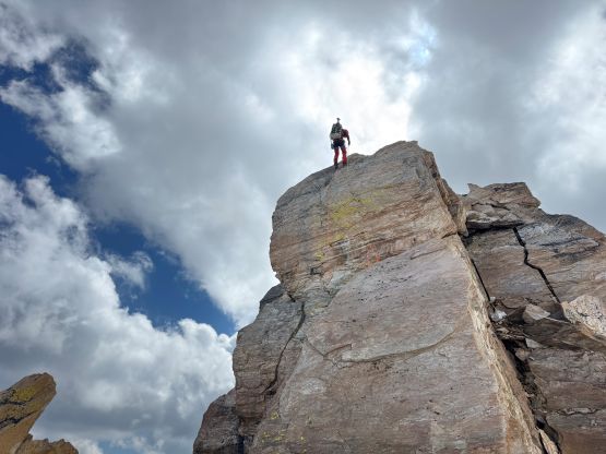
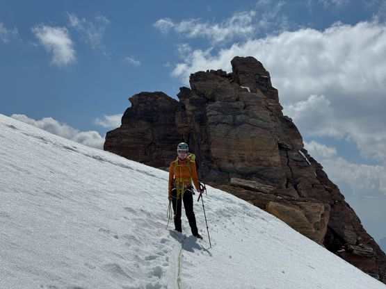
The SW aspect of Jumbo Mtn. did not appear like a “scramble” at all but we knew two different individuals who managed that, solo, and neither was a prolific rock climber, so that had to have a way. We even had one GPX track loaded but it was traversing a bit lower on the face than I liked. The direct SW Ridge would definitely not work, so we couldn’t ascend too soon neither. In the end I basically picked whatever line that seemed to make the most sense and did all of the route-finding decision from field observations. The lower half was mostly traversing on the face but then we started to ascend straight up working our way towards the ridge crest. We had to deal with a lot of 4th class and exposed terrain on questionable rock. Eventually we did work our way onto the ridge but still had to climb up and over or traverse around several towers, and all of them were “class 4”. This was not a straightforward route to the true summit of Jumbo Mtn. and I certainly wouldn’t advertise it as a “scramble ascent”. It did not impose any problem to myself or our party but 3 of us here had extensive mountaineering experience beyond the scope of “scrambling”.
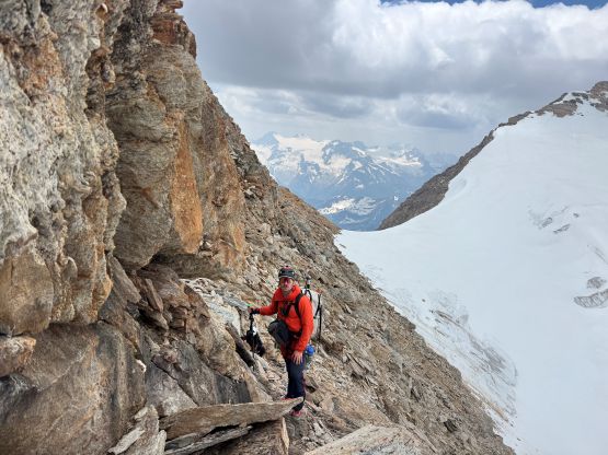
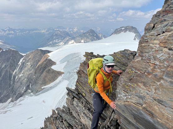
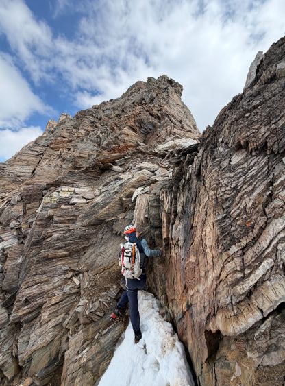

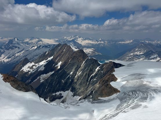
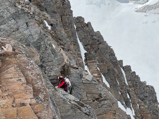
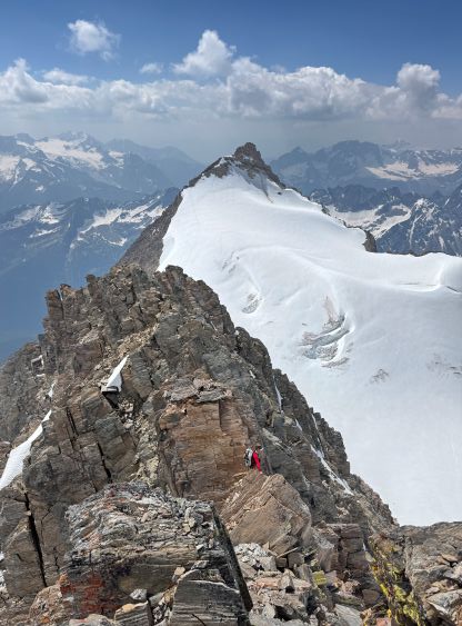
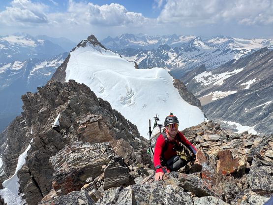
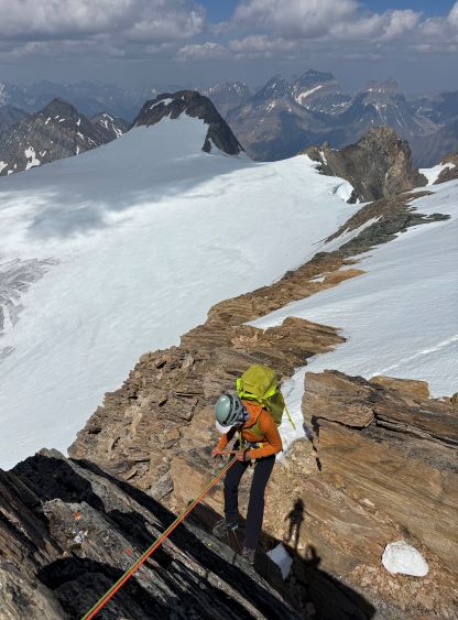
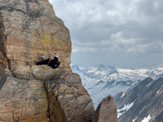
Not doing much lingering I slowly worked my way down the NE Ridge towards the technical gap mentioned in Brandon’s trip report. The gap appeared rather vertical from above so we definitely needed one rappel, and the pitch seemed to be at least 20 m so we needed both of our 30-m ropes. There was no existing anchor so very few actually managed the true summit of this peak. Fortunately there were plenty of rock horns and Haldan had brought enough of rappelling cords to make do. The rappel itself was also not the most straightforward so this was quite a commitment of Sophia as she had never rapped before. Looking back I could see the climber’s right side of the notch definitely offered a viable way to climb up. Perhaps it’d be “low 5th class” but it’s only 20-m pitch and could not be worse than the 200-vertical meters of chossy scrambling that we just did. Haldan and Sophia decided to explore that lower glaciated dome summit whereas Erica and I would plod straight back to camp to pack up our shits. The glaciated descent was mostly done by following some tracks but there were two sections of exposed ice to traverse across.
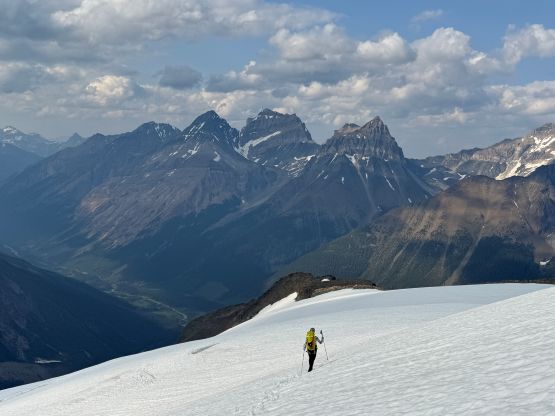
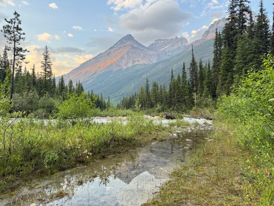
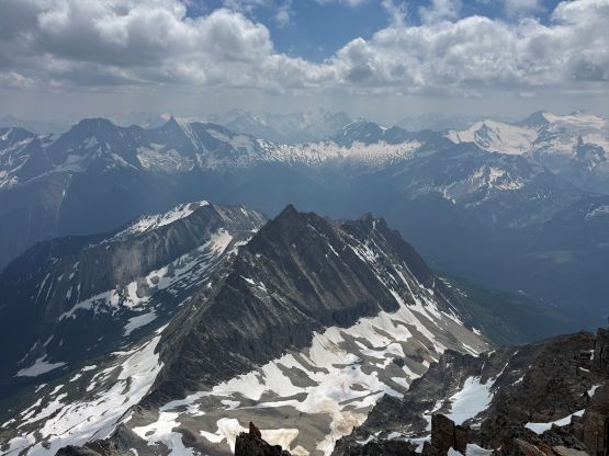
I made the final decision to skip The Guardmen since none of those spires boast over 100 m prominence. We only had a few hours of daylight left at this point and I wasn’t too keen on descending in the dark. Fortunately the glacier was mostly soft in the late afternoon so the plunging took literally no time following our own tracks. The descent was also incredibly scenic. The worst was that stretch of compact moraine but I also didn’t see an obvious “better” way either by staying higher or lower. The creek crossing still required us taking the shoes off but the water level had actually dropped considerably, so the crossing itself was straightforward. Erica and I then had a leisure descent back to the vehicle and we even got back to Radium with a bit of daylight to spare. I was already exhausted but still managed to drive to the vicinity of Golden before deciding to car-camp. The next day we drove all the way back to Vancouver but tagged “Shuswap Mtn.” along the way as that’s the one boasting over 1200 m prominence.