Hyndman Peak
August 31, 2026
3662m
Hailey / Sun Valley, ID
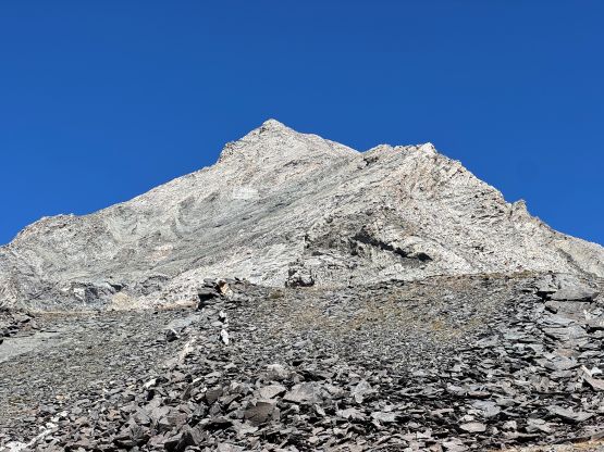
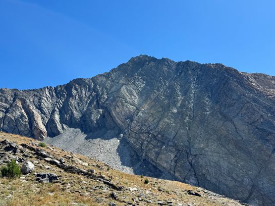
Hyndman Peak is the highest in Pioneer Mountains not far from Sun Valley and one of the only two Idaho 12ers not located in Lost River Range. This peak also boasts over 1400 m prominence making it one of the more sought-after objectives in the vicinity. There’s no magic about the standard route as it’s a “class 2 scramble”, but the approach is decently long. I was on an extended road trip all the way to Colorado and the driving direction gave me the oppourtunity to use some of the taller peaks in southern Idaho as acclimatization objectives. I picked Hyndman Peak as I had already done Borah Peak and Diamond Peak (both roughly one year ago), and I preferred prominence especially in this trip. This is also one of the no-brainer options that necessitated no research besides preloading a GPX track. Honestly I don’t think I even bothered to download a track as there were plenty of which on the Gaia GPS’s public database and they all converge, suggesting the route should be well defined.
I then somehow learnt that Matt Lemke was also on a road trip driving from northern Nevada towards Montana and our path actually converged for this one particular day. Matt had just scrambled Pilot Peak the day before and agreed to come along for Hyndman Peak, and even managed to book us a hotel stay in Hailey. I unfortunately had 6 hours of driving after doing She Devil and He Devil so couldn’t get there until 11 pm. I was quite tired for the final 2 hours of driving after leaving the freeway at Mountain Home and simply opted to follow behind some slower vehicles so that I didn’t have to pay 120% attention on animals. The next day we got up at around 7 am which positioned us at the trail-head about an hour and half later. The drive was straightforward on easy gravel roads.
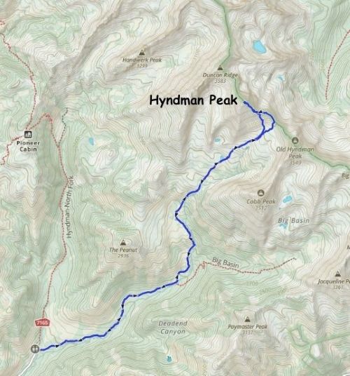
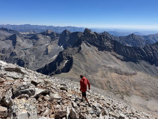
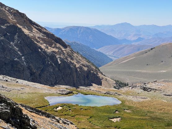
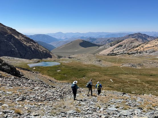
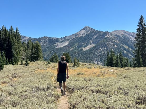
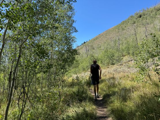
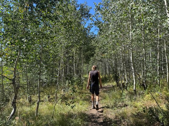
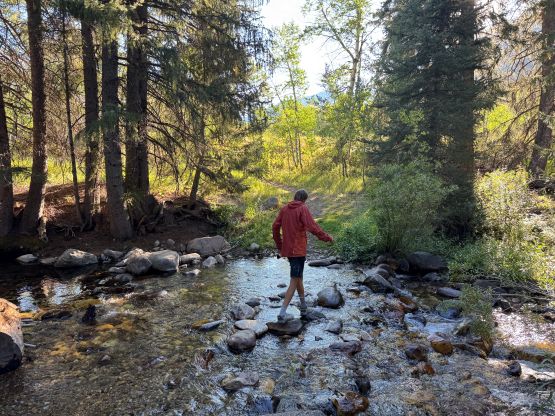
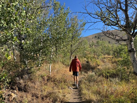
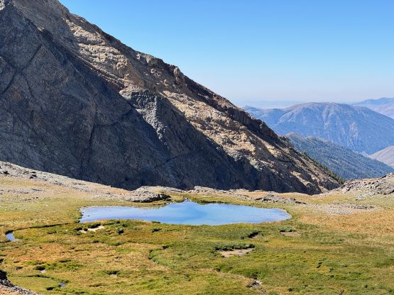
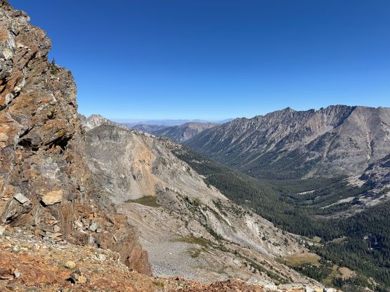
Matt didn’t even bring a backpack so we opted for the minimalist approach. I only carried one bottle of gatorate anticipating there’d have some water sources higher up. For the first 5 km approach I opted to follow from behind and the pace was quite fast throughout. We also gained more elevation than expected. Higher up we did encounter a few creeks but we waited for too long to load up the water bottles. The tarn we were targeting turned out to be stagnant. I did throw in a filter and did filter a few hundred mL but only for emergency use. My plan was to simply suck it up and stay dehydrated until coming to that running creek on the way back. The scramble via the SE Ridge was straightforward but the position was surreal. We both felt very tired but I think that was mostly due to the altitude.
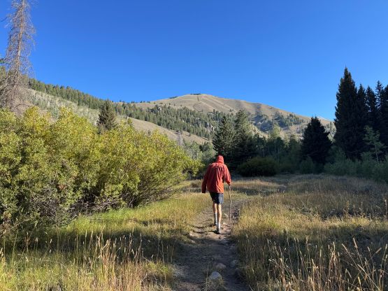
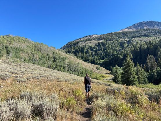
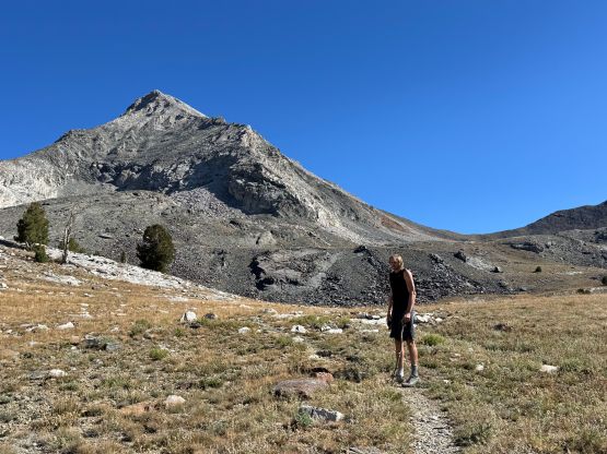
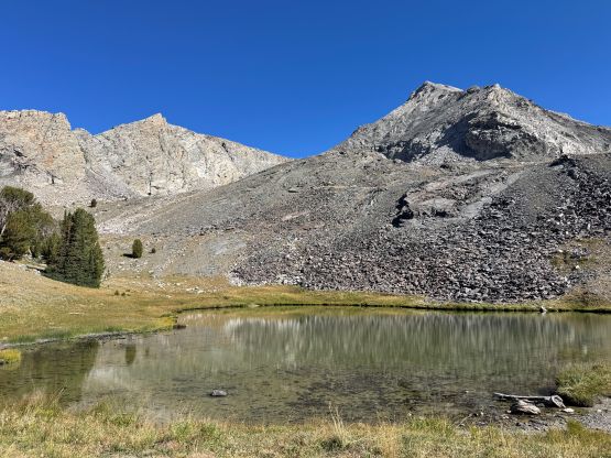
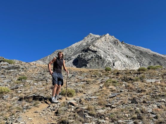
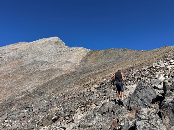
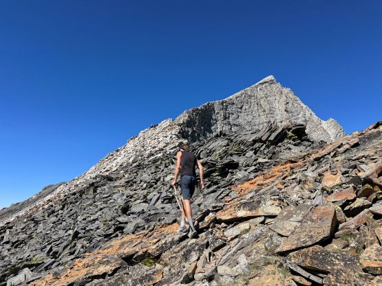
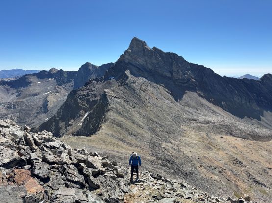
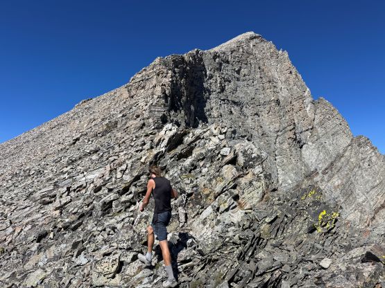
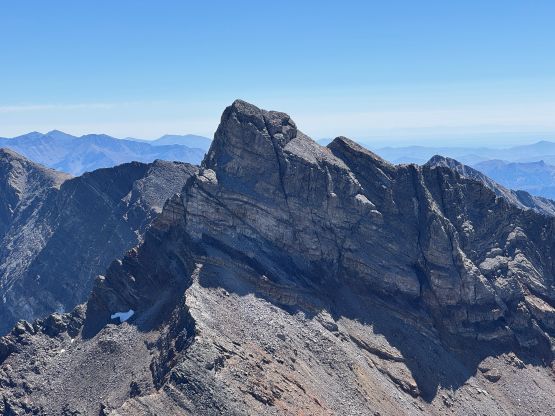
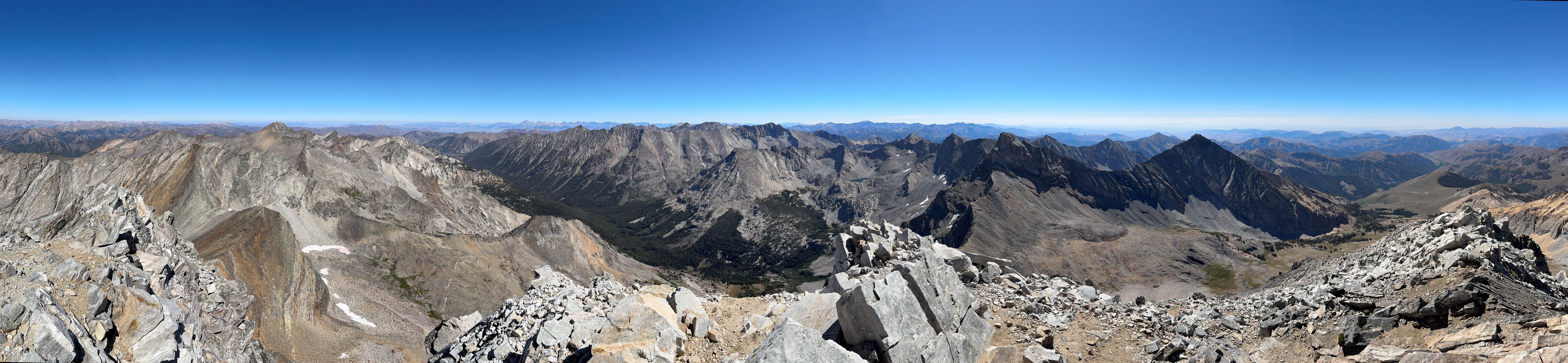
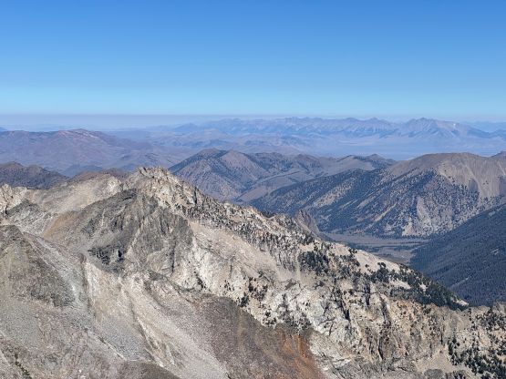

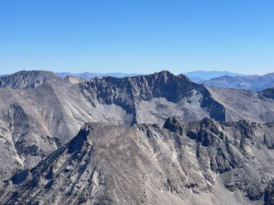
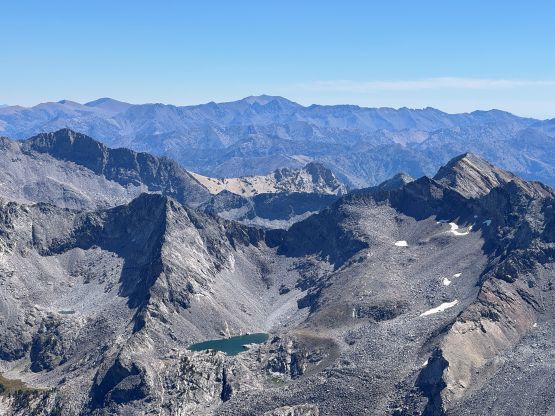
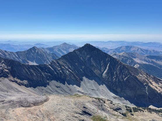
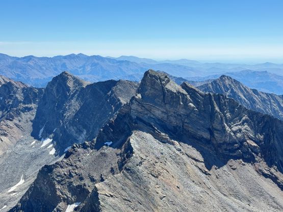
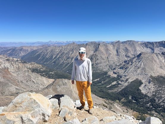
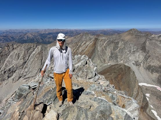
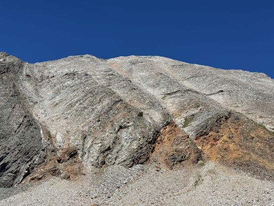
On the descent we somehow got disoriented and lost the path on the SE Ridge. We went down too soon and ended up dealing with a shit ton of unstable talus. This alternative descent route was not to be recommended. I had to be 120% careful not twisting my ankles as 1 in 3 or 4 of those boulders would come loose with contact. There wasn’t much worth noting about the rest of the descent and our round trip time was 5 hours 50 minutes, covering 20 km and 1500 m elevation gain. We then parted ways but I ended up having to wait 2 hours Burley for Matt to come back to grab his working bag. Thankfully I noticed that bag in my car not belonging to myself. I then pushed another few hours into the state of Utah and the plan was to scramble Mt. Timpanogos on the following day.