Gabbro Mountain and “Talus Peak”
June 24, 2026
1498m
Coquitlam, BC
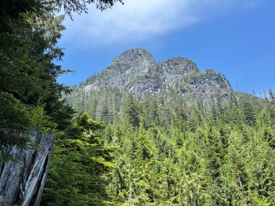
Gabbro Mtn. tucks behind and is overshadowed by Coquitlam Mtn. but itself is a rugged tower with a decently iconic profile. This one is however, very obscured and rarely ascended. The only “beta” dated back to Alastair Ferries’ team in 2009 in which they climbed it in a 16+ hour day by canoeing up the Widgeon Slough, at least according to my not-so-thorough digging on the internet. The summit tower is non-technical (class 3) via a sloping ledge system but the approach sounded like a bushwhacking hell. I had thought about climbing it in winter/spring to minimize the thrashing but I wasn’t too confident about the exposed summit block with snow, so even though I was aware of that ClubTread trip report for years I had never actually planned on doing this trip. Then all of a sudden Sean Z. whom I did Coquitlam Mtn. with messaged me a few weeks ago saying he’s already scouted out a “mostly bush free” approach to Talus Lake and was keen on doing these two peaks above the lake. Sean had also used LiDAR data in conjunction with the old ClubTread trip report to lay out some GPX tracks for the parts of the route that he hadn’t done, and the level of detailedness of his research was more than convincing enough that this would be a no-brainer trip for me to tag along.
I eventually decided on Wednesday this week because this would be after a long stretch of dry weather, and doing this a mere two days after The Defendant meant I would be already dialed in for the bushwhacking in this area. Sean is a Coquitlam local so I took his “bush free” status with a grain of salt as those free roaming in the Fraser Valley seem to have some different definitions of “bushwhacking”. Another important thing to decide was the access. We together have two 1-person packrafts so the approach via Widgeon Slough could theoretically work, but Sean’s a pro mountain biker and I also had access to electric bikes from several friends so it made more sense to pedal. Sean had also done this pedaling approach several times so he knew where exactly to park to not mess around with the “authorities”. The gate wouldn’t open until 8 AM (too late for us), and it’s also illegal to pedal beyond the provincial park boundary so we would still be breaking the laws even though the restrictions had lifted a bit since I did “Gloomy Peak” several years ago. Sean sent me a GPS coordinate for the parking pull-out and the plan was to meet there at 5 AM. I got the ebike from Trevor in the previous evening and I even managed to fit the entire bike in the Subaru without taking the front wheel off. I had another trip planned on the following day so I preferred to be back home earlier, if possible. We for sure wouldn’t take 16 hours but I still anticipated a fairly sizeable outing.
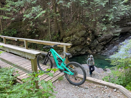
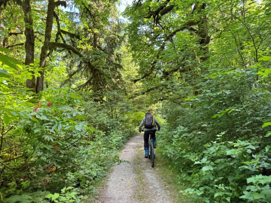
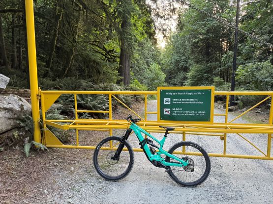
Sean’s parking pull-out was just before the major downhill to the regional park and as expected, the gate was still locked when we got there. We had to lift the ebike over the barrier which was at least three times harder than lifting the fatbikes a few years ago. There were indeed several “no entry” signs after exiting the regional park and before entering the BC provincial park (which were not there last time) but as usual, we plainly ignored them. Sean’s indeed a strong biker and was able to mostly keep up with me, and in fact, he’s faster than me on the several rough uphill stretches past the canoer’s staring point. I couldn’t ride the entire way up and once starting to push the bikes I no longer had advantages. In any case the last few kilometers were quite rough that it took us over an hour from the parking lot to Hanging Creek Falls. We then took our time loading the water bottles (which was not entirely needed as there were reliable water sources higher up), and then ditched the bikes a few hundred meters beyond the falls.
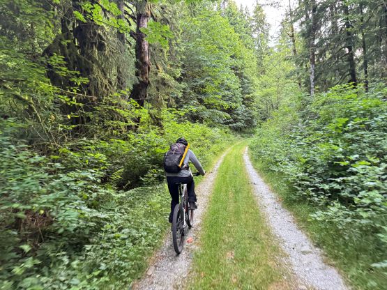

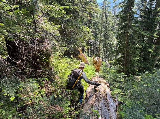
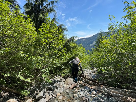
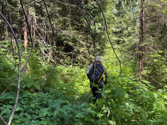
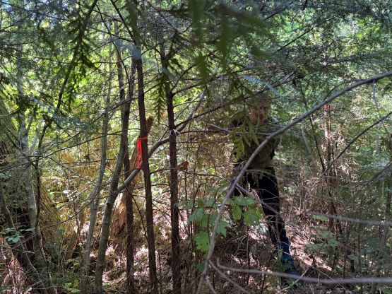
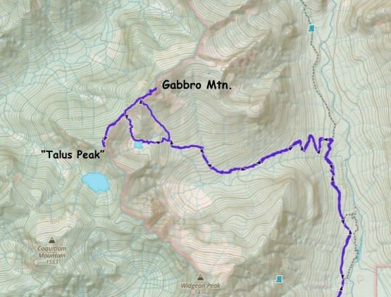
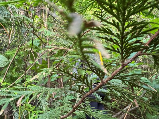
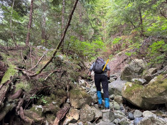
The start of the Hanging Creek spur was severely overgrown so I followed Sean’s lead taking a short-cut onto the switchbacks. The road was in a decent shape at that point that the going was equivalent to following a lesser maintained trail. There was one avalanche path to cross and the bushwhacking was quite intense (BW4). Fortunately Sean’s friend had flagged a route through the mess so at least the route-finding was not a problem. At around 500 m we left the road again and did some cross country travel with some bushwhacking, and crossed two more drainages before shooting straight the hell up the slopes. The going wasn’t too bad and before realizing our path intersected the spur road again, which we followed leftwards for another 500 m until meeting the ascending drainage. There was water following in the creek bed but the volume wasn’t high, that we were able to stay in the creek bed hopping our way up on boulders. This significantly reduced the amount of bushwhacking. At the major fork we took the drier right hand branch which would essentially bring us all the way to the SW Ridge of Gabbro Mountain. The other branch came down from Talus Lake and that would be our descent route. The scramble up the dry creek bed had several steep and loose sections but was otherwise very straightforward, until the final 100 m where the terrain became steeper and bushier. Gaining the final gully under the SW Ridge required lots of vege belay as the ground was hardpacked and slippery.
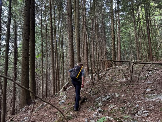
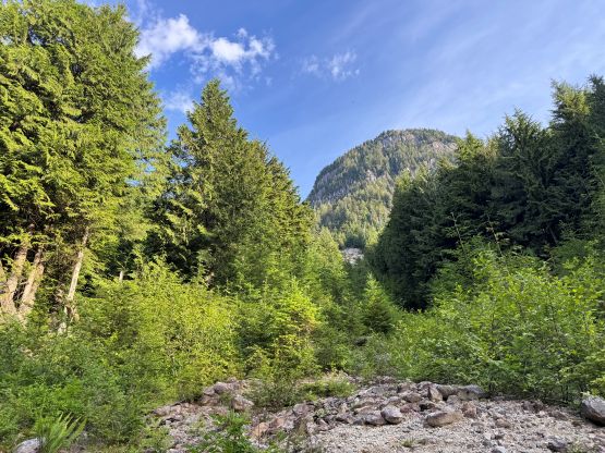
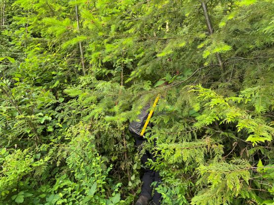
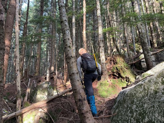
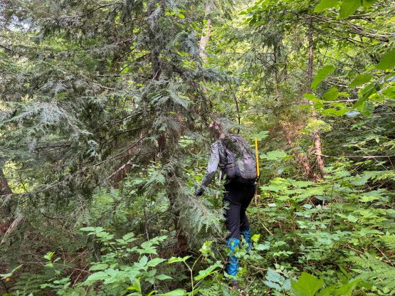
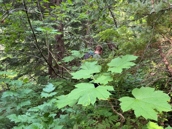
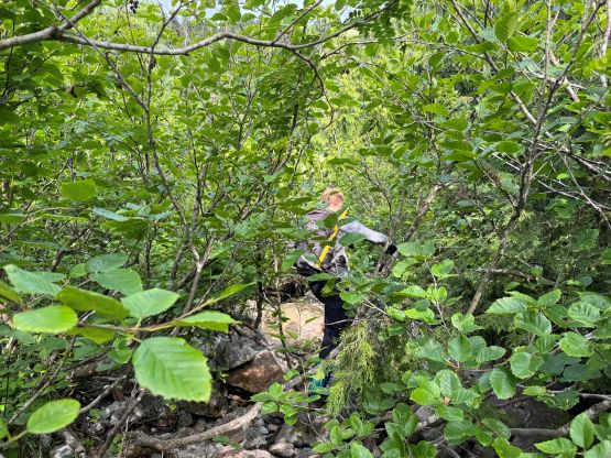
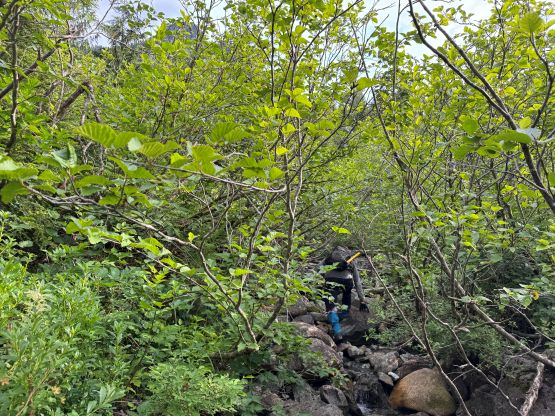
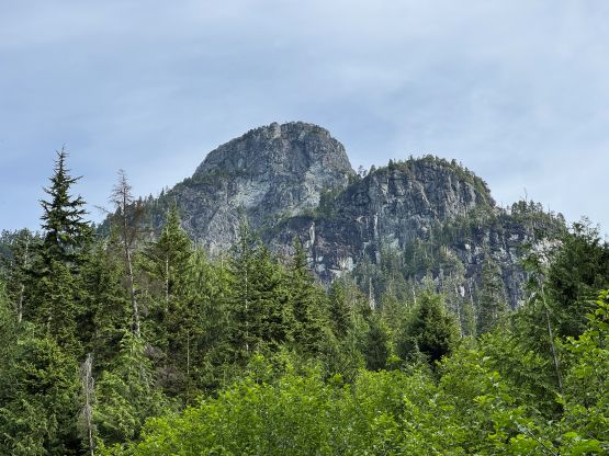
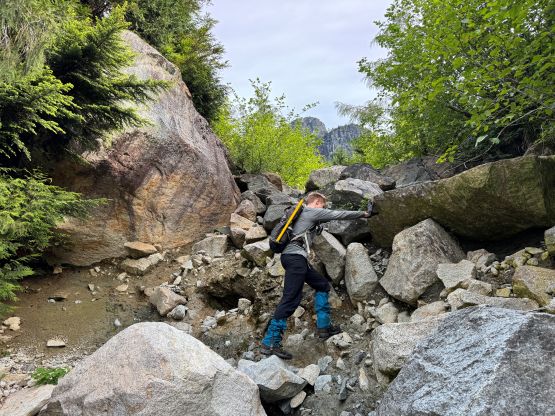

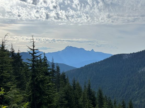

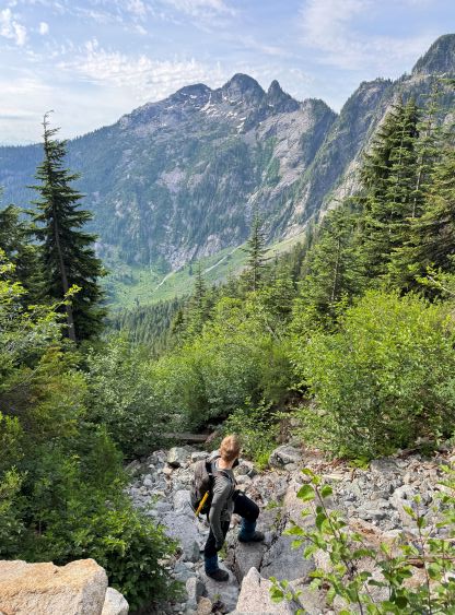
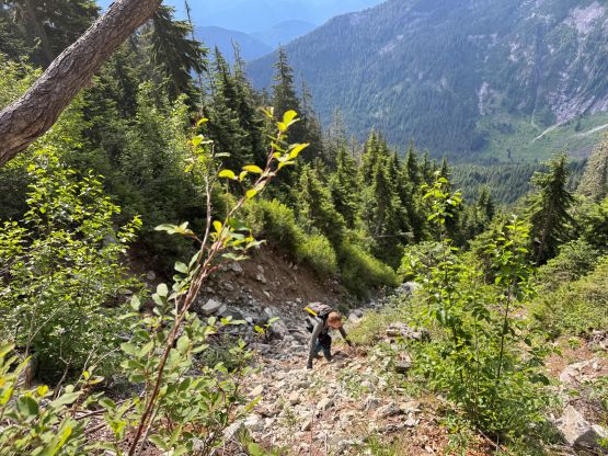
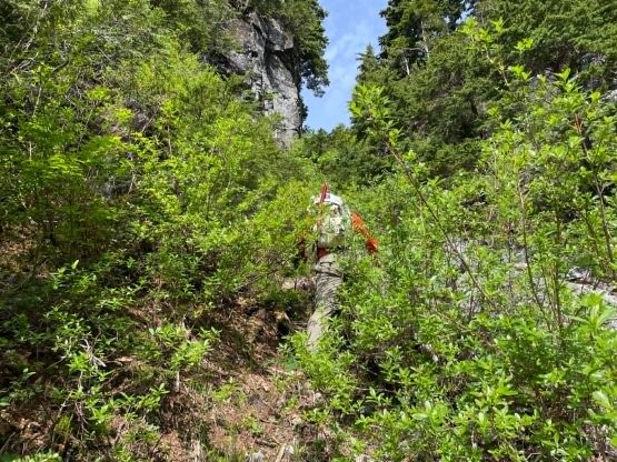
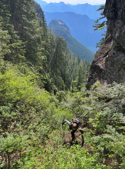

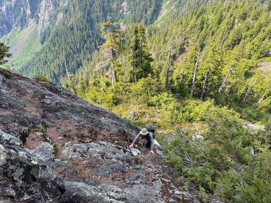
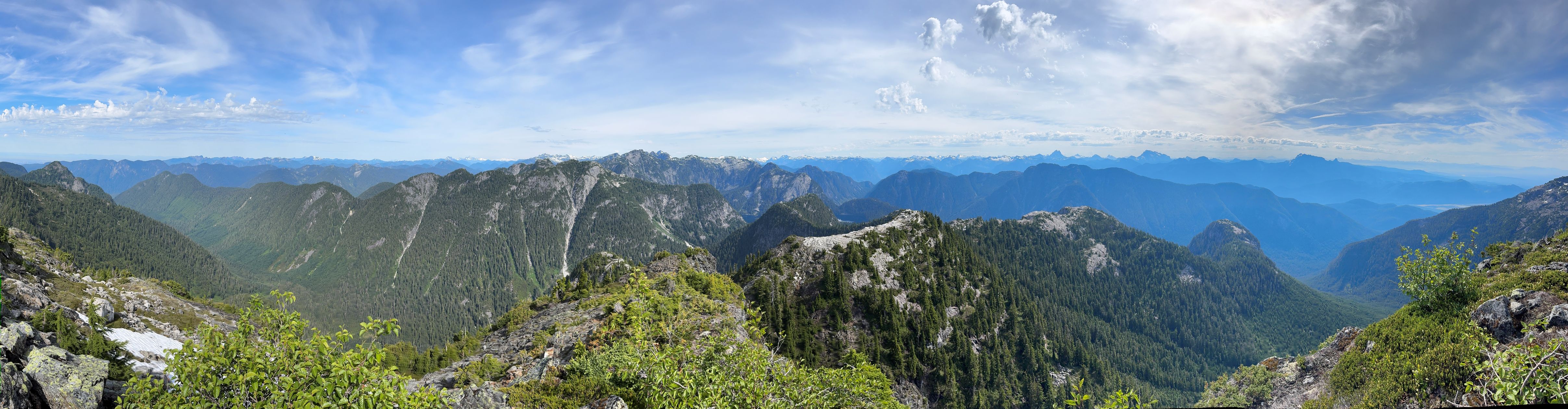
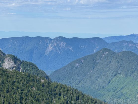
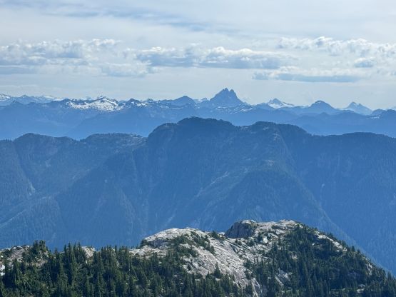
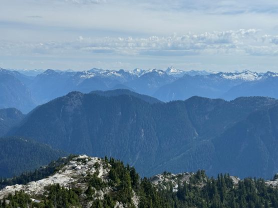
At this point I had already swapped the poles for the gardening gloves. The terrain and the thrashing was simply not “friendly” enough for the use of trekking poles. There were still some bushwhacking to reach the start of the scramble, but the scramble itself was rather trivial. I probably did some harder variations lower down by ascending straight up the middle of a slabby gully but I actually preferred harder scrambling to at least have a bit of “fun” in this outing. The ledge traverse was basically a walk in the park, and the final scramble to the summit was no worse than “class 3” if one dares to find the easiest path. I again, stuck climber’s right on some slabby but solid rocks instead of dealing with more vege belays. The views from this summit exceeded my expectation.
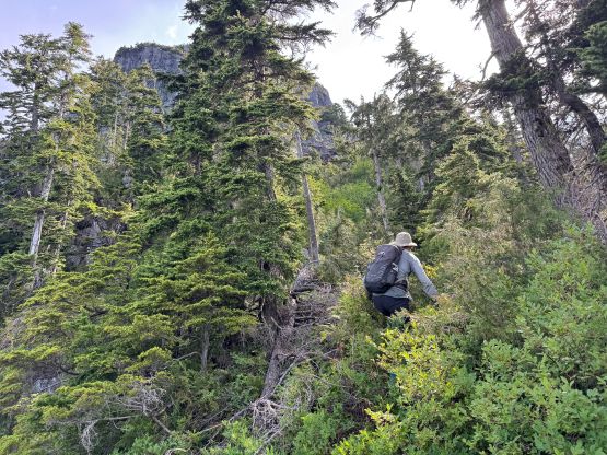
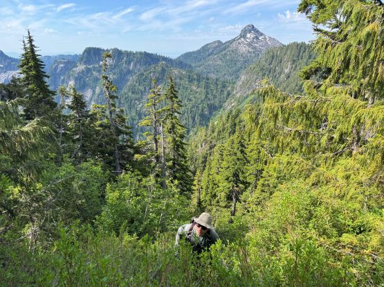

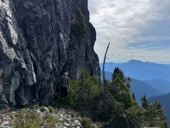


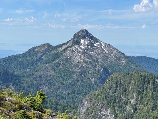



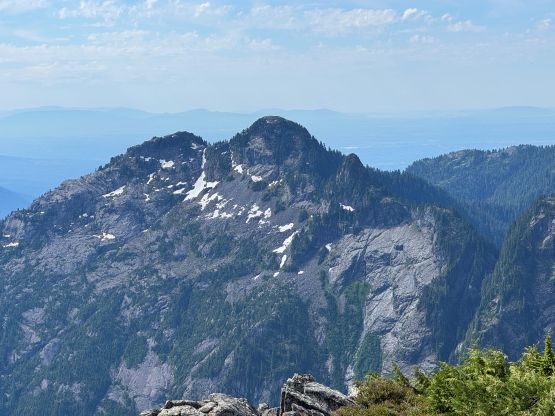
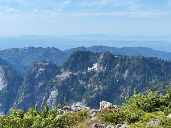
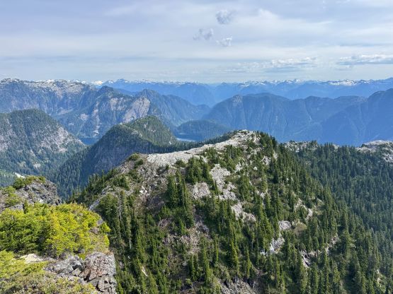
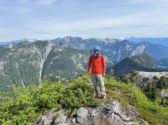
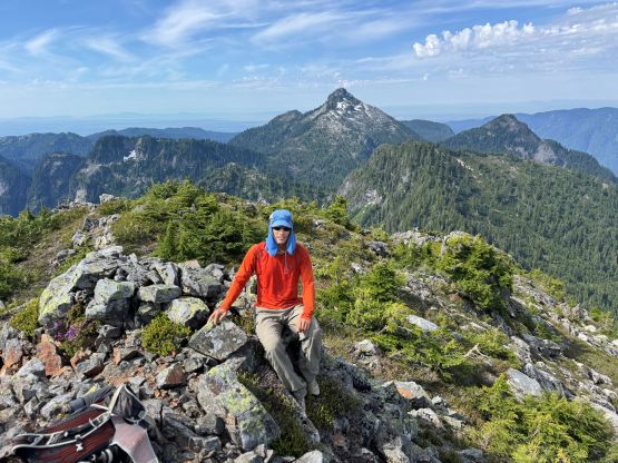
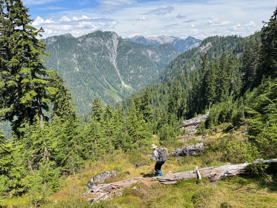
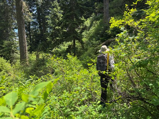
The day’s still young so we had to push further for “Talus Peak” even though it looked rather meh. After down climbing the scramble route I followed Sean’s lead descending the rest of Gabbro’s SW Ridge down into Gabbro/Talus saddle. This part of the route sucked with lots of side-hilling in blueberry bushes, that having two gardening gloves was more or less mandatory. We didn’t stay on the ridge crest but rather traversed the north side of it. We then thrashed up the NE Ridge of “Talus Peak” but again, the route didn’t fully follow the ridge. After about a quarter of the way up we dropped down north to some boulder fields, and traversed on boulders until the final 100 m which was a steep heather slope. There was only one tiny patch of snow to cross so the ice axes were brought for no use. At least I didn’t bring crampons this time. The heather slope was a tad tedious on the trail runners that I had to use my fingers and hands to gain some extra purchases. Descending this stretch would be painful but let’s worry about that later. The summit itself was forested with limited views but Sean found a neat viewpoint beyond the summit.

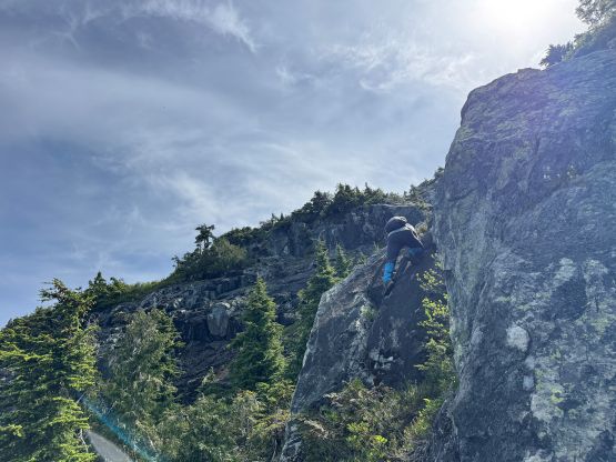

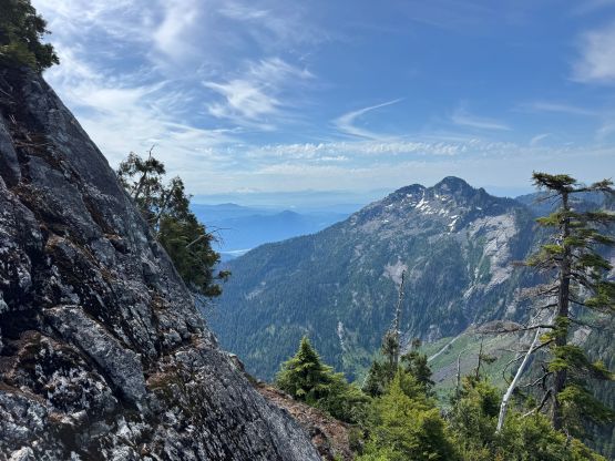

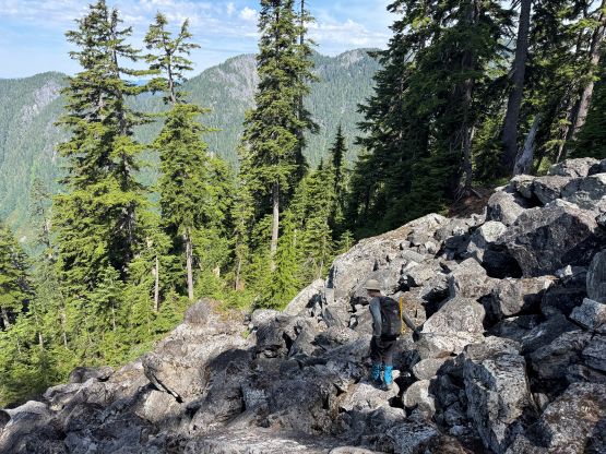
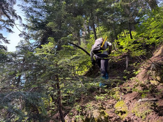
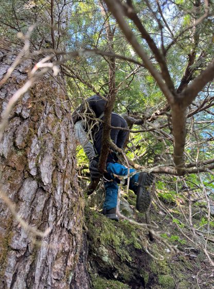
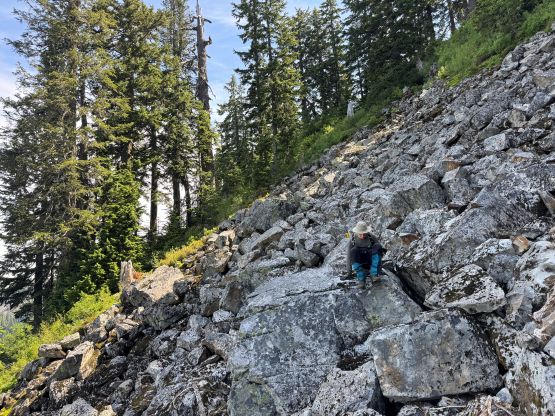
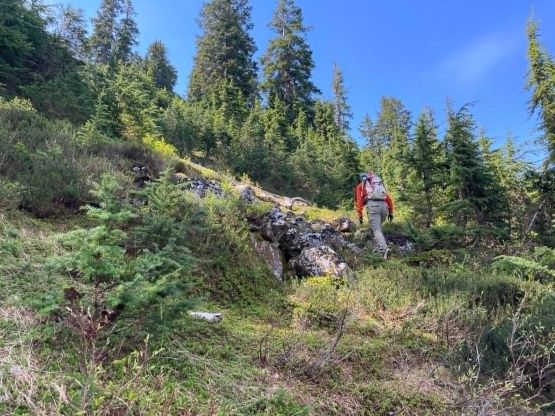
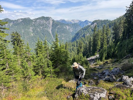


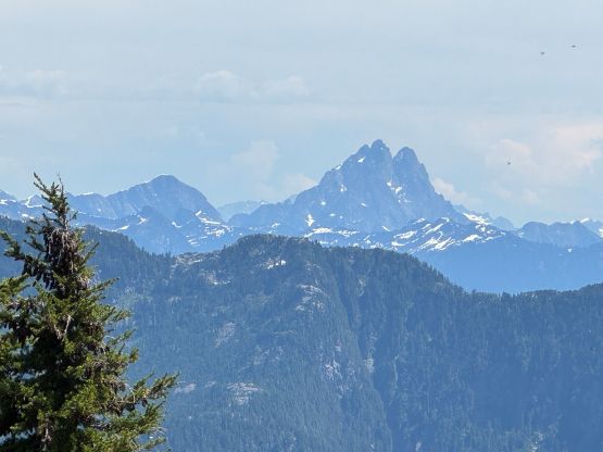

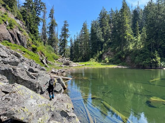
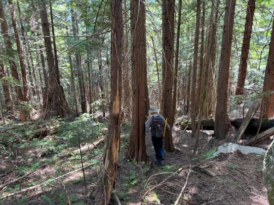
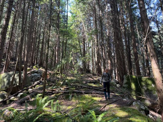
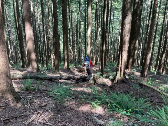
There’s no water source on the summit of “Talus Peak” and it was damn hot, so we didn’t linger too long up there. Descending the heather slope was indeed treacherous but honestly it wasn’t as bad as I thought. I did have to “down climb” facing into the slope but the going wasn’t too slow. We then made the spontaneous decision to descend the exploratory route down to Talus Lake to close in the loop as the other option (to retrace our route) would involve thrashing back up the SW Ridge of Gabbro Mtn., which was not very appealing. The bushwhacking down to Talus Lake was actually not bad at all and the route was actually mostly on boulders. The thrashing down from Talus Lake was indeed quite bad as described by Sean. We stuck more or less on Sean’s GPX track and still did some nasty bushwhacking, but at least it was mostly downhill. Once closing in the loop all we needed was to follow our own GPX out, which was not a walk in the park but was also not too terrible. I didn’t take the poles out until hitting the spur road. The downhill biking was infinitely easier. Except for lifting the bikes over several downed trees I was able to ride the entire way back. Having done 50+ peaks with bike I surely weren’t as scared on the downhills as before. Our C2C time was 11 hours and we were moving fairly fast the entire time, so this was definitely a sizeable day.