Earl Peak
November 7, 2026
2146m
Cle Elum / Teanaway, WA
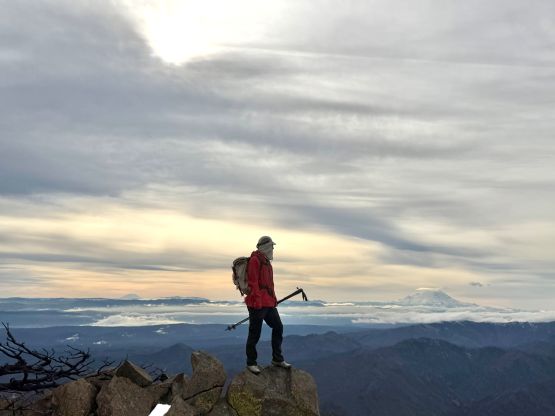
Earl Peak boasts over 300 m prominence in Wenatchee Mountains and the summit offers unobstructed views of Mt. Stuart and the south side of the Enchantments. The access is from Teanaway Valley and the area is often sunny when everywhere else is soaked in. This is also one of the easiest objectives in the range so it made sense to do in the shoulder season conditions with unknown amount of snow. The reason that I decided to drive 4 exhausting hours to the far SE Cascades was the weather forecast but the outing actually exceeded my expectation. Anywhere closer to home would be subjected to the trajectory of the atmospheric river event.
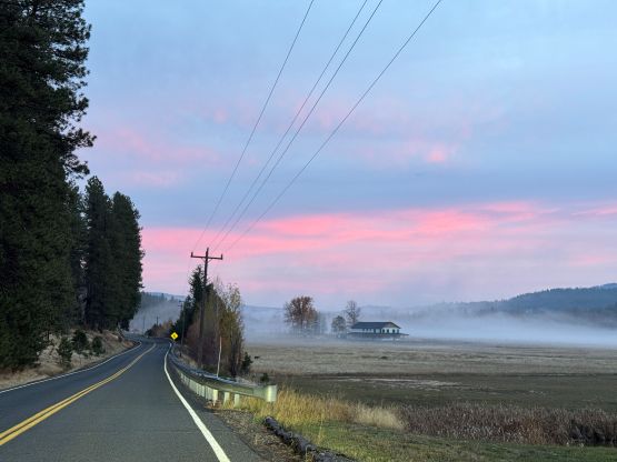
Originally I had Sunday off but the weather was downright hopeless anywhere so I decided to take Saturday off and work on Sunday instead. Lulu was keen to explore pretty much anything with me and I eventually picked Earl Peak to introduce her to the Teanaway area. She had previously hiked the Enchantments Traverse but didn’t do a single peak in the zone. Due to the long drive we decided to leave in the previous night and this would be Lulu’s first car-camping experience as well. We left home at around 10:30 pm and I pushed all the way there in a single shot. There’s a time change now to cross into Washington state but the time change was actually on our side. Instead of arriving at 2:30 am we actually got there at 1:30 am. The final hour had some thick fogs and the FSRs had a ton of potholes. Needless to say I was quite exhausted but I still got us there in one piece. We slept in till 8:30 am (Washington time) and I was not surprised. I didn’t even bother to set up an alarm as we desperately needed to sleep.
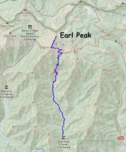
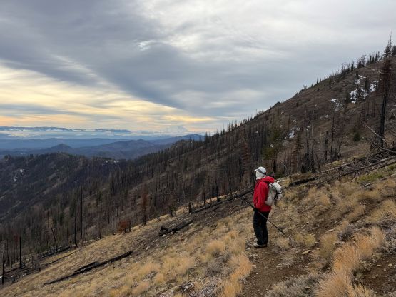
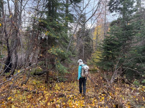
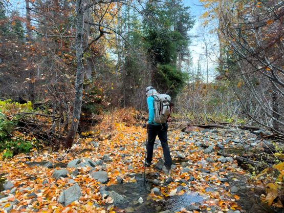
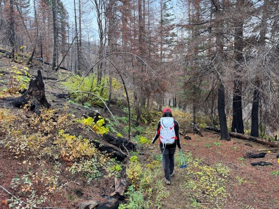
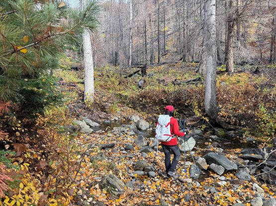
I had brought two pairs of snowshoes, mountaineering boots and ice axes and crampons in the vehicle but upon seeing the conditions we decided to leave all of them behind. I did carry a pair of aluminum crampons just in case but I was anticipating wearing the trail runners the entire day. By the way there are several ways to access Earl Peak and we chose Standup Creek from the south. This was the most no-brainer option. The trail was not as “well maintained” as I thought with several creek crossings. I was expecting a “freeway” but it ended up being a rather narrow trail. The creek crossings were trivial and honestly they offered water sources to replenish the water bottles (if ever needed). I did bring enough water for us but I took some mental notes for future references.
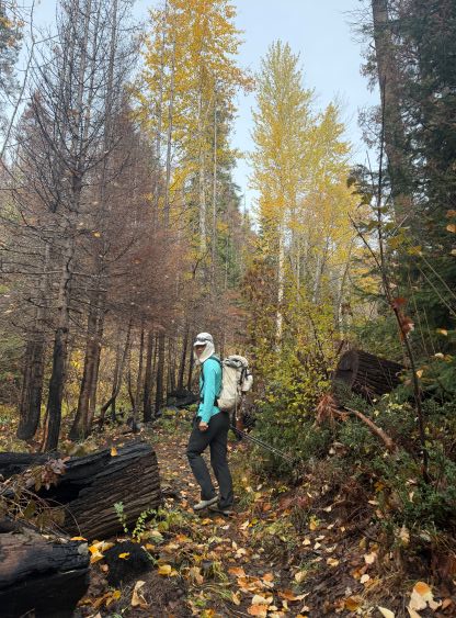
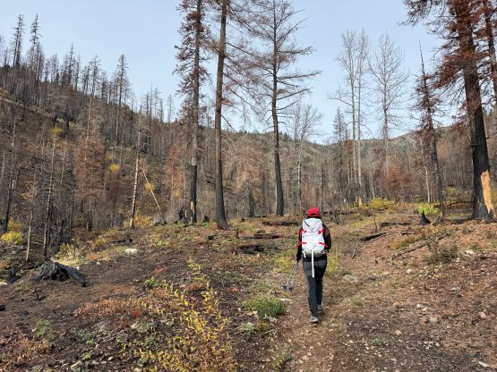
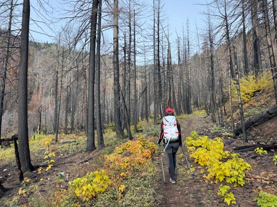
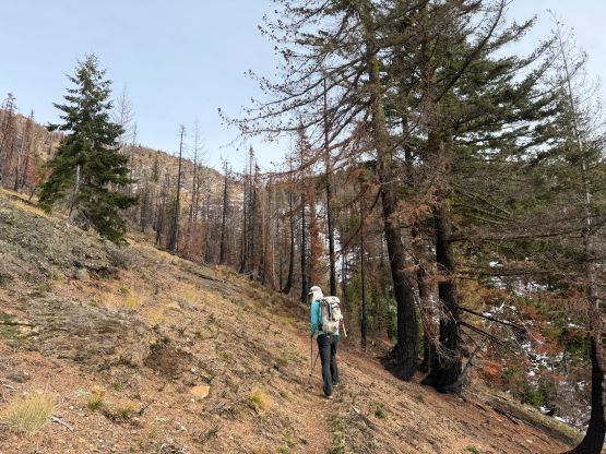
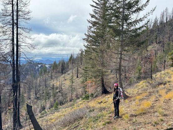
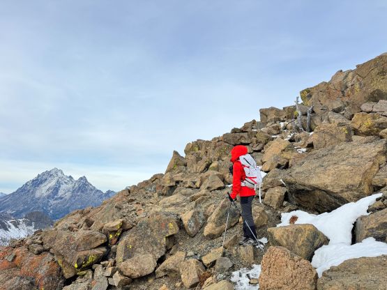
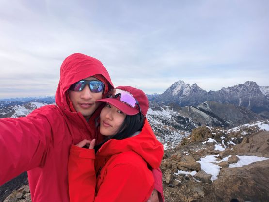
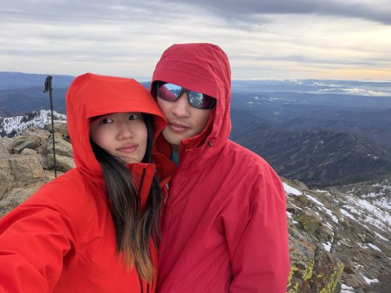
At some point the grade started to pick up that we finally started to feel the elevation gain. Checking the GPS map I then realized that the elevation gain was almost 1200 m. For some reasons I was anticipating a 3 or 4 hour day but I guess this outing would be longer than expected. That’s fine because it seemed like the weather was actually improving. Eventually we traversed onto the SW Ridge passing another group and the views fully opened up by this point. There’s hardly any scrambling and in fact, we were mostly able to stay on a path for the entire way up, but we did encounter fair amount of fresh snow. The views were excellent but the winds were rather cold, so unfortunately we couldn’t stay too long up on the summit, but hugging each other did help.
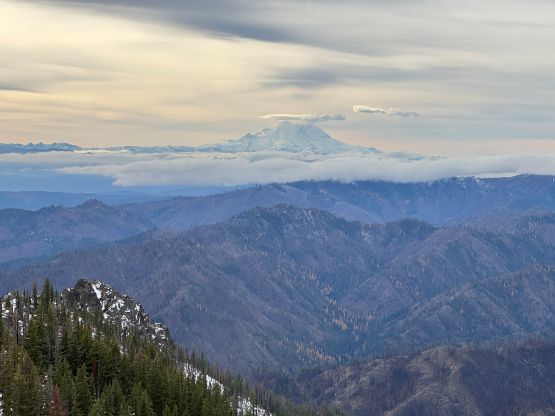
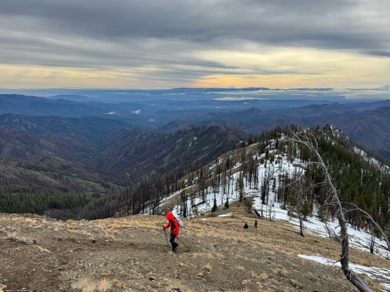
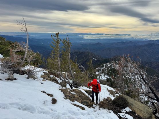
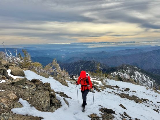
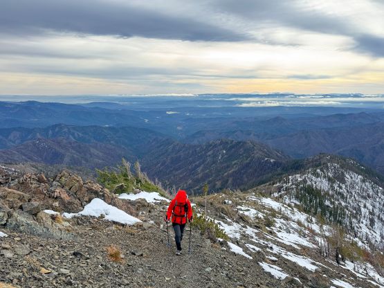
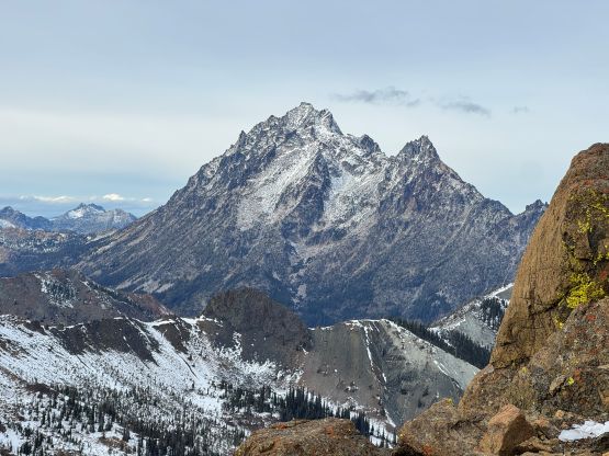
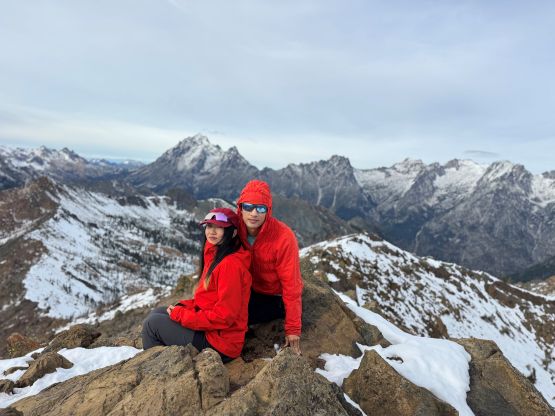
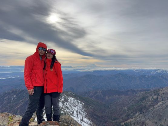
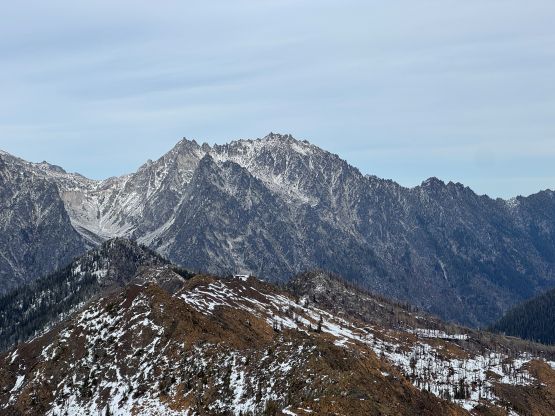
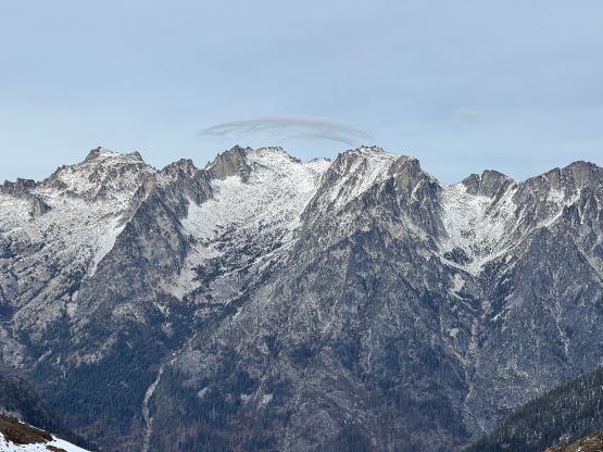
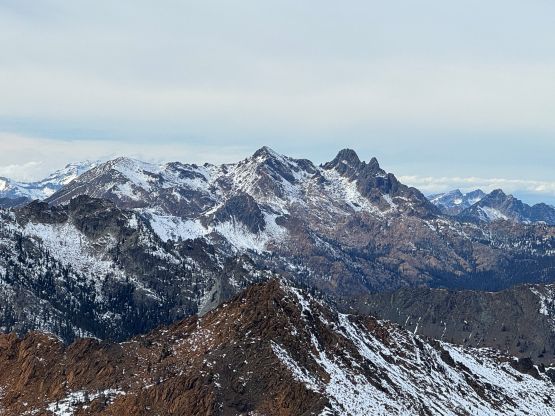
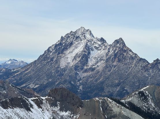
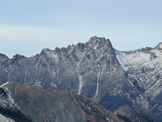
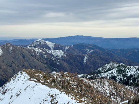
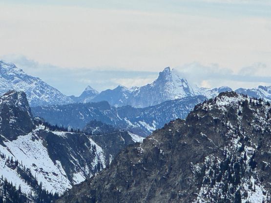
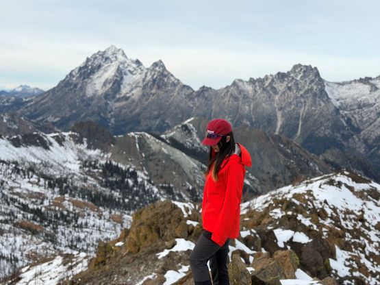
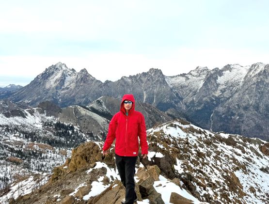
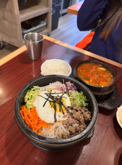
After taking in enough of the scenery we decided to descend. I thought about adding a secondary objective but I also wanted to reserve these peaks for the next occasion with a similar weather forecast. There’s no need to rush these rainshadow zone objectives. We quickly lose elevation down to the trail and then mostly power-walked back to the vehicle. It was tempted to jog but we didn’t bother. Our round trip time was less than 6 hours so we still finished the trip before having to pull out the head-lamps. I then drove us back to Seattle for a Korean dinner before driving another 2.5 hours back home. Despite the easiness of the objective this was still a long outing after all.