Dunn Peak
September 12, 2026
2636m
Barriere / Clearwater, BC
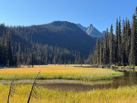
Dunn Peak is a standalone massif in the Monashees that boasts over 1500 m prominence about halfway between Barriere and Clearwater along Highway 5 corridor. The access is from Barriere via the FSR systems and the drive could take 1.5 hours each way. The last few kilometers are particularly rough but an AWD “crossover” should be sufficient enough with a skilled and experienced driver. The standard route is an exposed 3rd class scramble and has been relatively well documented online, and in fact this is a fairly popular objectives among the locals. I had been thinking about Dunn Peak even dating back to the time I was living in Edmonton while peakbagging in the Canadian Rockies but it’s a long drive from either Edmonton or Vancouver. Finding partner(s) had always been challenging for the interior B.C. and this approach is in some serious grizzly country so I wasn’t keen on soloing neither.
Eventually there came the fall of 2026 when I noticed on Facebook about a recent ascent of Dunn Peak. I needed no additional “beta” about the approach/scramble itself but the recent update confirmed the road’s in, so I might as well take advantage of that. I was still peakbagging in Utah and Idaho at the time but I managed to talk Vlad into the idea, especially after promising that we would add an additional day to include Trophy Mountain in the vicinity. Nicole Badke replied to my comments as she was originally planning this exact same outing a week earlier, but cancelled the trip due to weather. I casually sent her an invite and sure enough she agreed to join. That’s excellent because having 3 people would make the long trip both cheaper and more entertained. Of course I did all of the organization and planning while having dinner in Boise and the plan was to depart Vancouver in the afternoon of the following day. I pushed all the way to Yakima by 11 pm that night, slept a few hours in the car and drove home by mid-morning. I thought about squeezing in a few hours of work but decided against it as I desperately needed to take a nap. I had to be the one driving in this trip as well and the trail-head would be 6 hours away from home.
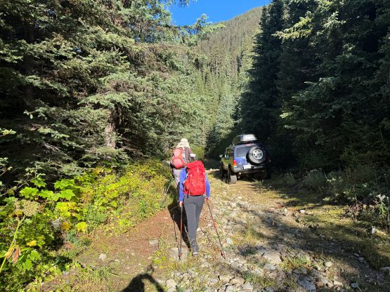
We left Surrey at around 6:30 pm so this wasn’t exactly the earlier departure that I was hoping for, but could make do. Thank to the short nap in the afternoon I was quite awake for the mission. I was definitely feeling a bit car sick from driving 7000 km to Colorado and back in less than 2 weeks, but this is the game of prominence-based peakbagging. You absolutely have to have the time, money, energy and motivation to drive, all the way to the moon if needed and honestly that’s probably why this game is nowhere as popular as rock climbing and trail running. In one shot I got us to Kamloops and in another shot we were driving up the increasingly rough FSRs. Turning north from the west end of North Barriere Lake the next 20 km was sustainedly rough. This stretch was likely not maintained by logging companies at the moment but there’s enough recreational usage to keep it in a “reasonable” shape. The final spur was as expected, narrow and bushy with fair amount of pin-stripping, but there’s no single obstacle that could stop a Subaru from getting to the trail-head. The trail-head had been pushed back by about 1 km due to road deactivation. A lifted Jeep could possibly push all the way to the old trail-head and in fact we saw one vehicle parked farther, but according to the RCMP driving beyond the current trail-head is illegal. The party who went in a few days earlier than us had posted a trip report including a picture of the truck parked farther along the road and got a mailed ticket a couple weeks later.
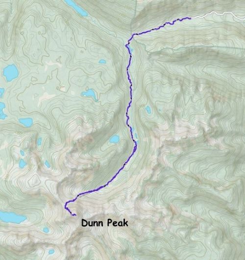
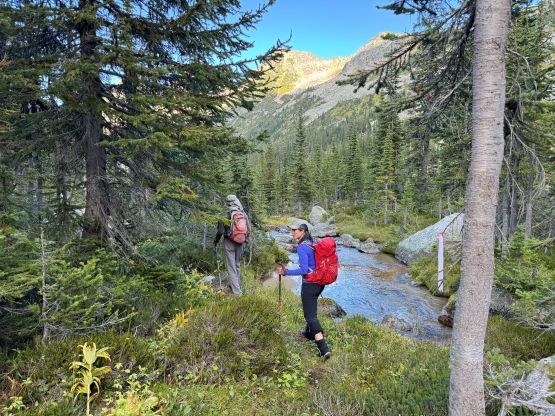
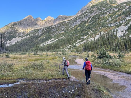
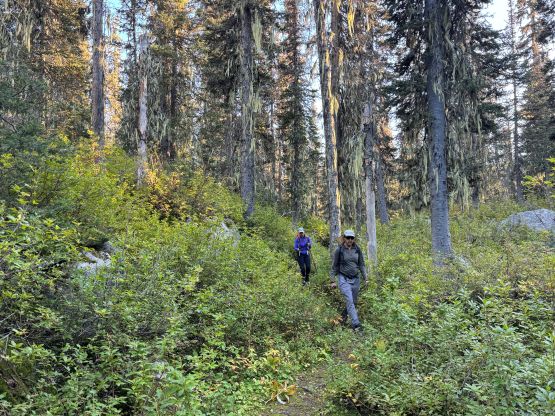
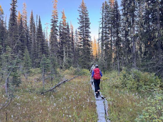
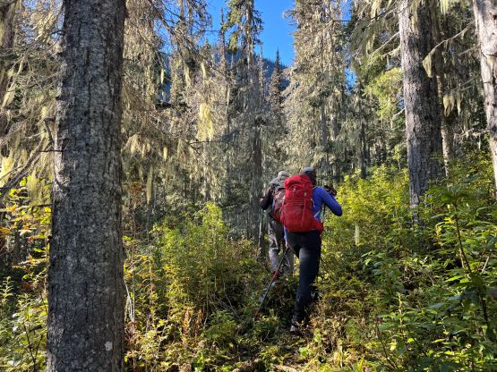
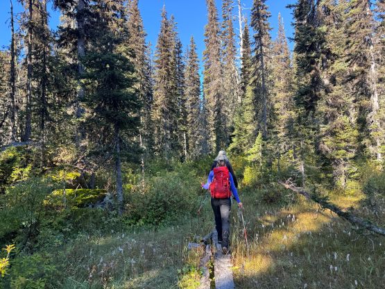
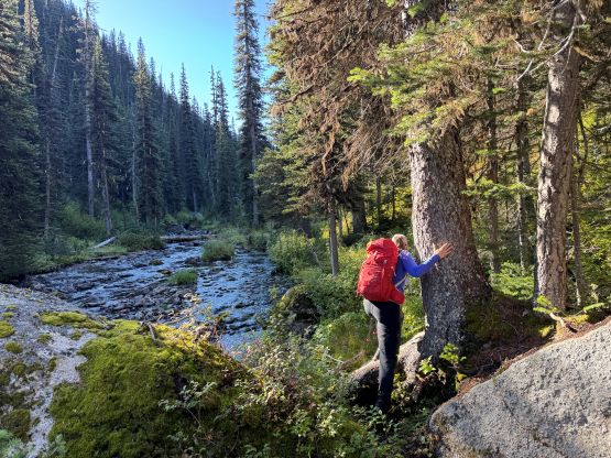
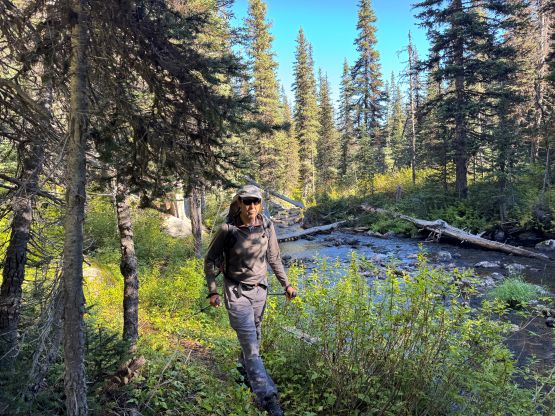
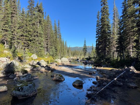
I decided for us to wake up more or less naturally and that meant the alarms were set at 7:30 am. By that time I would be awake anyway. Nicole and Vlad each pitched their own 2-person tent so I got the back of the Subaru to myself, which was very luxurious and comfortable. The morning was cold but I still took my time making a ramen breakfast. We eventually started plodding at around 8:30 am. We did that before I was confident we were about to move efficiently so there’s no need to do an “alpine start”. I also decided to plod the 8 or 9 km approach mostly by following from behind as I’m not the greatest at setting a trail pace, and by following from behind I could also more or less turn my brain off to give myself some much needed resting. Doing this past road trip solo meant I had to use my brain constantly and throughout and honestly that’s probably why I was so exhausted. The trail was muddy as expected such that Nicole and I both took Logan Steinberg’s advice for bringing two pairs of footwear. I simply brought two pairs of the Arc’teryx Alpine Vertex and the first pair did get thoroughly soaked. I had been paying attention to the footings but some of the swamps were simply unavoidable. We eventually found some running water and large boulders to sit on, and took the first long break of the day refilling water, eating and swapping footwear.
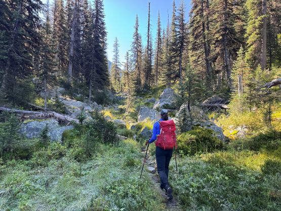
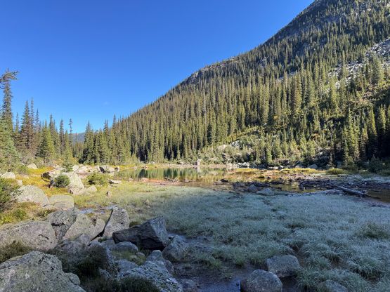
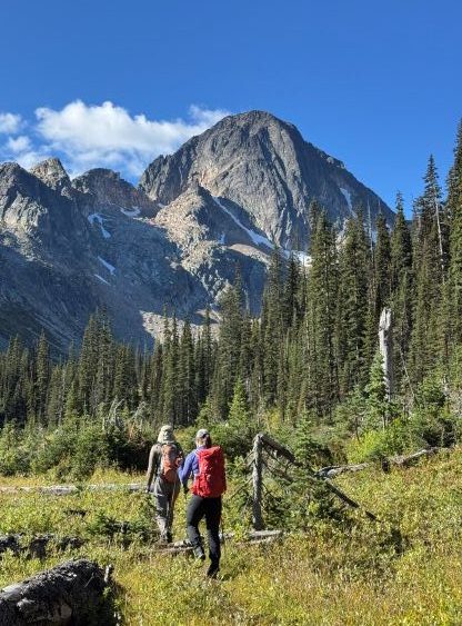
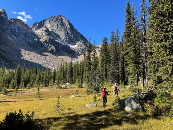
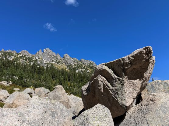
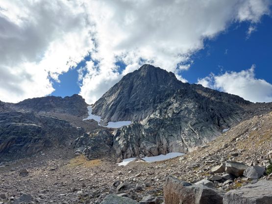
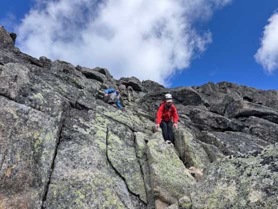
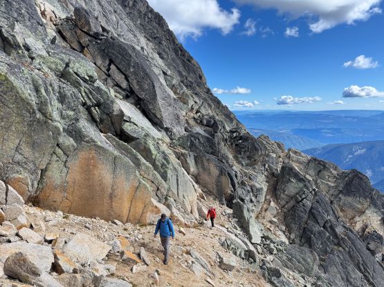
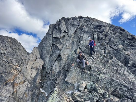
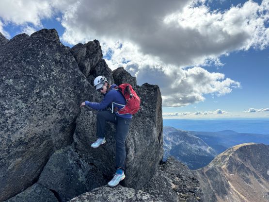
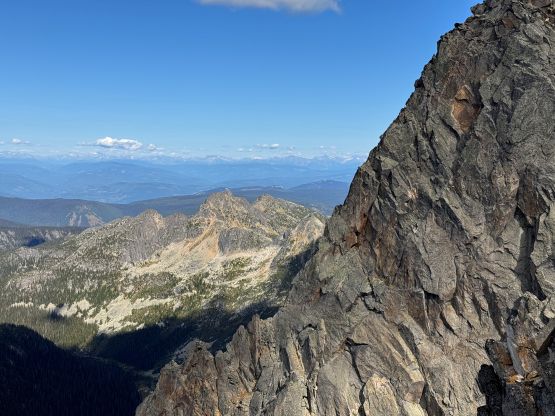
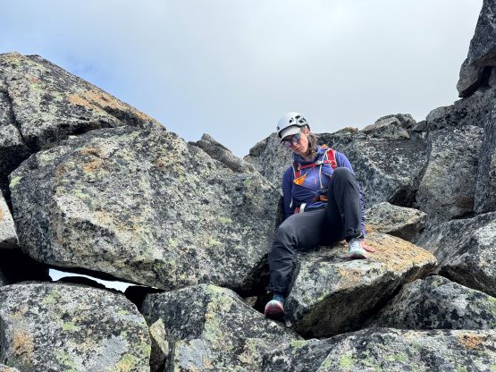
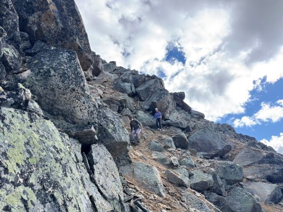
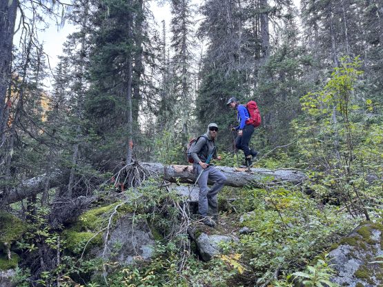
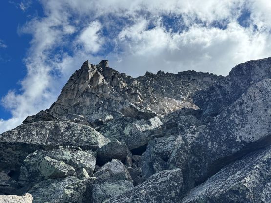
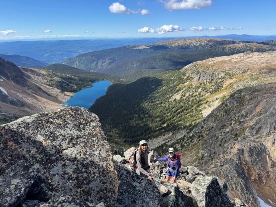
I took over the lead for the off-trail scrambling, as always. The scramble was more complicated than I thought as for some reasons I thought this was mostly a “walk-up”. As usual I did no research besides downloading some GPX tracks and I relied mostly exclusively on my own experience in route-finding. The GPX track would give an idea of the bigger picture. To access the broken NW Ridge we plodded up a long stretch of scree/rubble cone with lots of frozen dirt and unstable terrain. This section sucked balls. Traversing onto the NW Ridge the terrain wasn’t much better neither with a lot of loose boulders and traverses on dirty ledges. We knew there were likely two parties ahead of us and I kept wondering if they’d be descending by now as the rockfall hazards would be real. Fortunately we crossed path with the first party (with no summit) without killing each other, and the other party was much higher up at the moment. The route-finding was not very straightforward if one wants to keep the scrambling within the realm of 3rd class. Eventually we topped the false summit and down-climbed gingerly into the col. Getting out of the col required a bit of detouring to the south which I refused to do, so I climbed a short but vertical class 5 step to shorten the route. Vlad and Nicole surprisingly followed up. Higher up I probably led us onto harder-than-necessary terrain as well but whatever.
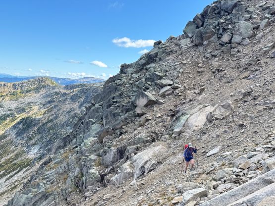
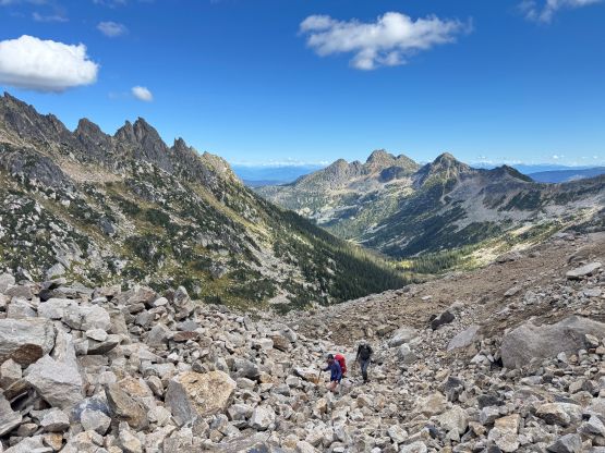
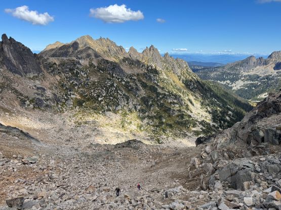
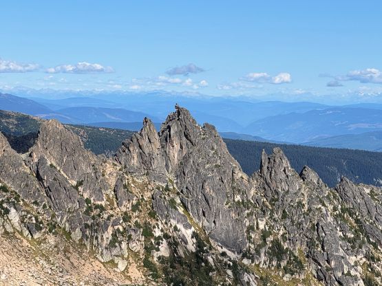
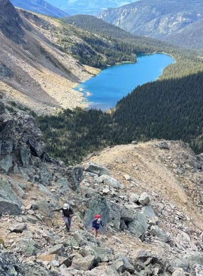
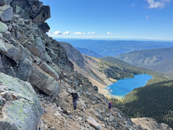
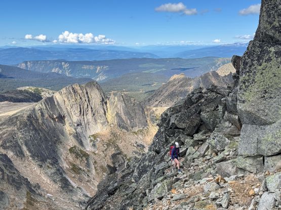
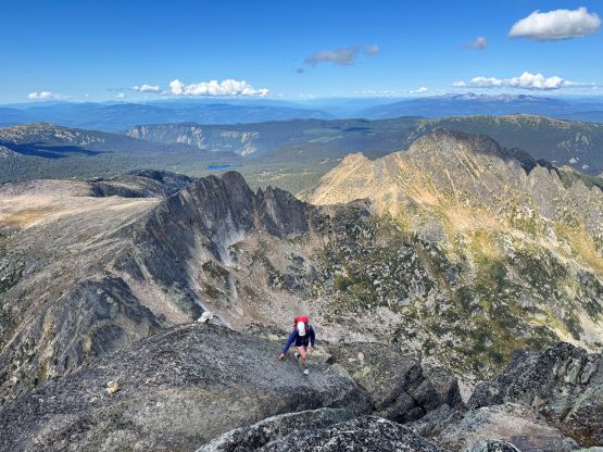
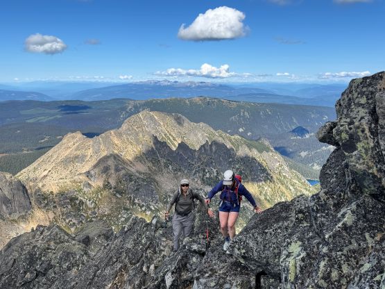
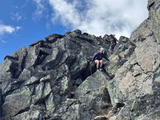
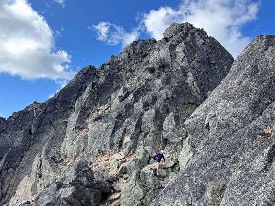
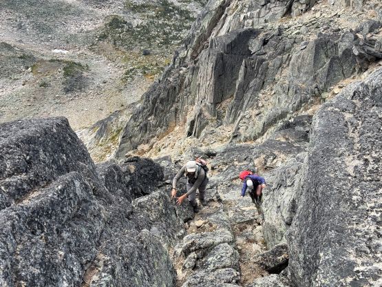
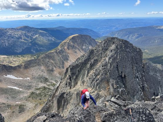
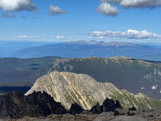
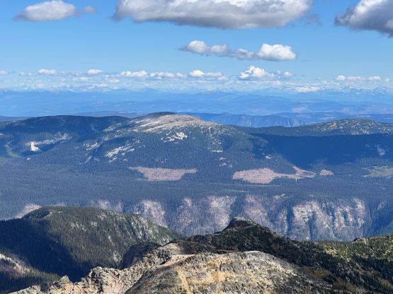
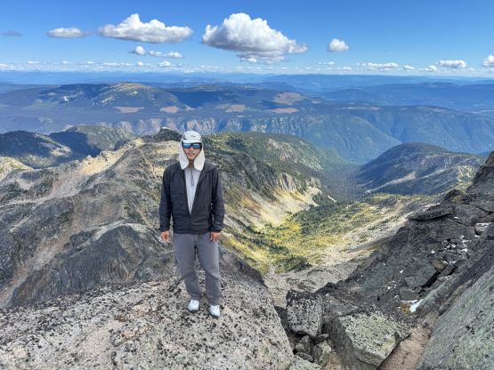
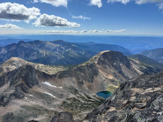
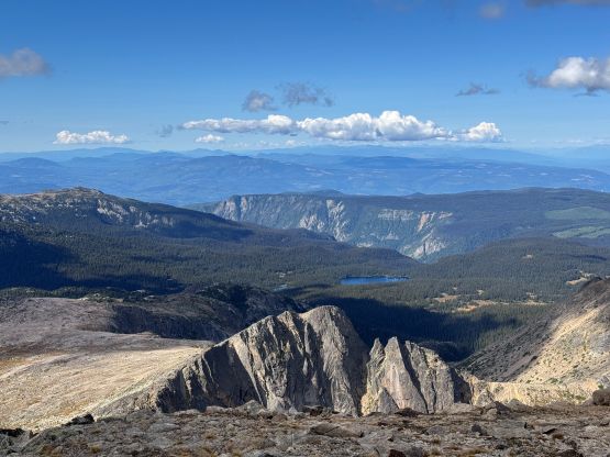
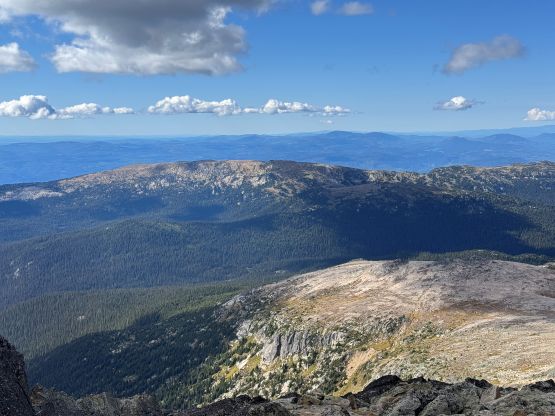
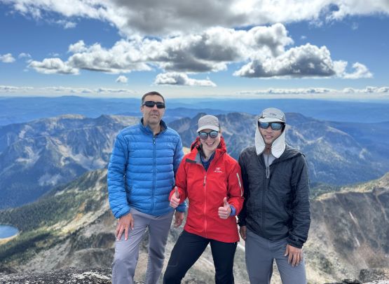
This route was longer and more complicated than expected so we had to keep going to get ourselves positioned for Trophy Mountain for the following day, without killing the sleeping hours. I paid more attention in route-finding and found a slightly easier variation coming down from the true summit, and also did that southwards detour to avoid down-climbing those 5th class moves. I was honestly more keen on down-climbing the step since it’d be more fun, but agreed to keep the route as simple as possible. Down from the false summit we again, kept the route as “easy” as we could to fasten the progress and it didn’t take us too long to get back to where we ditched the gear. Swapping footwear back to the wet pair of shoes we then dashed the final 9 km back to the vehicle. We passed that large group of campers again and they didn’t manage to summit. We had never seen them on the upper mountain anyway, so only two parties managed to summit on this day. The return was boring and tedious but I was expecting that. Our round trip time was just under 10 hours. I then drove us out of the FSRs back to Barriere, had an A&W dinner and then drove another hour and half northwards past Clearwater to the trail-head of Trophy Mountain.