Devils Head
July 25, 2026
2796m
Ghost River Wilderness, AB
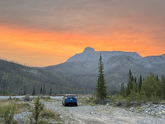
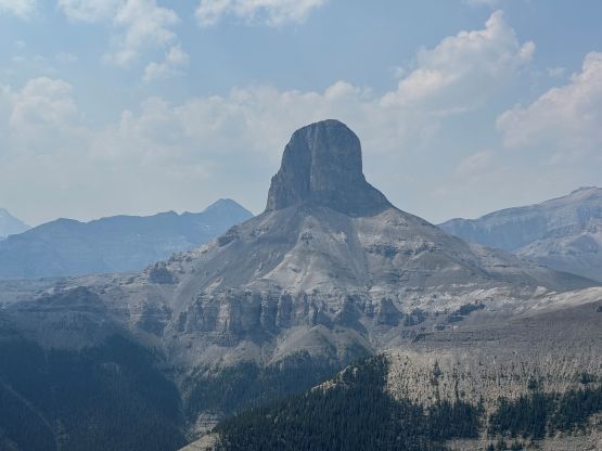
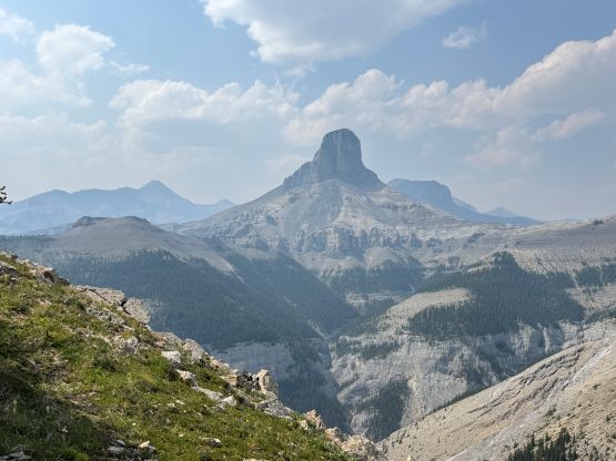
Devils Head is an icon of the Front Ranges of Alberta Rockies that cannot be missed if one’s driving into the mountains from Calgary, but the standard route requires a little bit of 5th class climbing and is not entirely a “scramble”, and that keeps the crowds at bay. There used to have some fixed gear (a ladder and/or a rope) to “bring down” the route to the realm of scrambling but as of 2026 those were no longer in place. This is currently, and should always be treated as a technical climb and I was happy to have a rope to rappel that pitch. Earlier in the trip Steven Noel and I had climbed Little Sister and the decision was made at the very last minute to head into the Ghost area to climb Devils Head on the following day. I wasn’t too keen on anything overly technical so this one seemed like a suitable objective. The only downside was not having the “right” vehicle for the access. Steven N. proposed that his Ford Escape should be fine for the job. I was feeling skeptical about that since I had been to the area twice in 2014/15 and I thought we definitely would need a truck or a Jeep (and I wasn’t keen on doing additional walking on top of the already-long approach), but we had the time to divert the objective if needed, so why not give it a try.
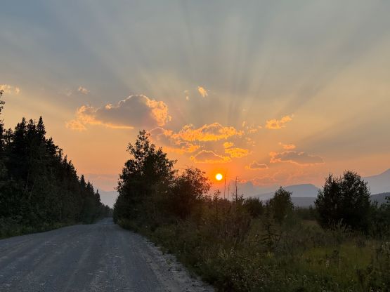
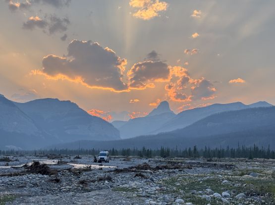
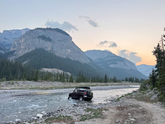
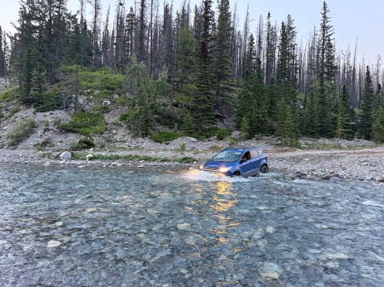
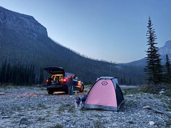
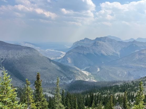
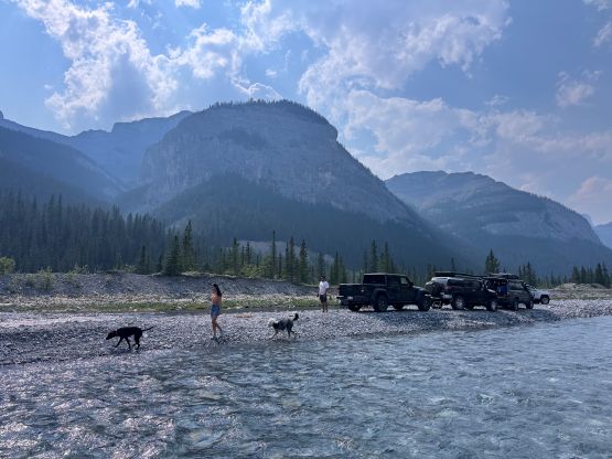
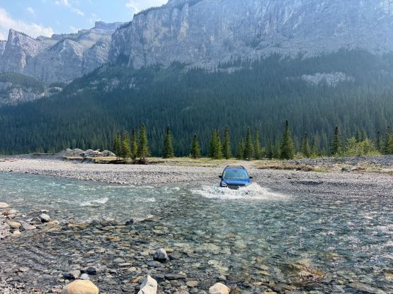
A bit of research showed that the road originated from only a dozen kilometers west of Cochrane and I couldn’t find a suitable spot to leave my Corolla behind for the night, so I went to the satellite maps. I thought it would be fine to leave the car at Lesueur Ridge trail-head labelled on the Gaia map as that’s basically the start of the wilderness zone. It turned out that I would have to drive a few kilometers of gravel to get there and the road was definitely rough for the Corolla. I had to drive at a snail’s pace since I didn’t want to risk getting a flat tire. Steven N. was patiently waiting for me at that said trail-head and I hopped into his vehicle for the rest of the adventure. A while later we descended the “big hill” into the Ghost River flats and followed the existing roads a long ways due north and then west. We passed several groups of campers and all of them had the “right” vehicles. We kept crawling and there eventually came the river crossing. After watching 4 lifted Jeeps doing the crossing we decided to give it a try. I waded across on sandals to scout things out and removed a few suspiciously large rocks under the water. Steven N. did manage to drive the Escape across but lots of warning lights were turned on. Fortunately they all came off so we resumed the final 3 km of driving to the legal drivable end. We could have driven further by trespassing into the whatever boundary like some of the others did but it would only save at most 10 minutes of walking, so why bother. We found a flat area to set up the tents and settled for the night. This drive was definitely the crux of the trip and it was definitely bold to push the Escape this far.
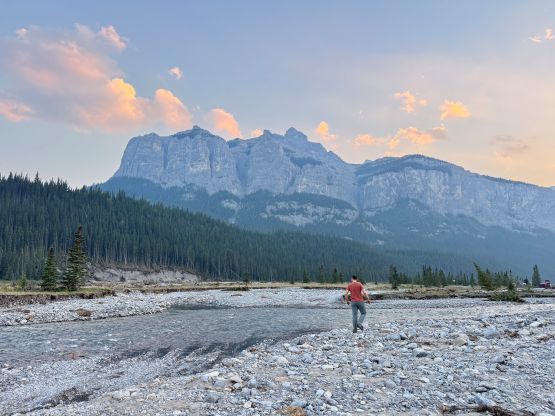
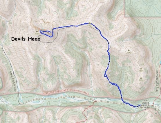
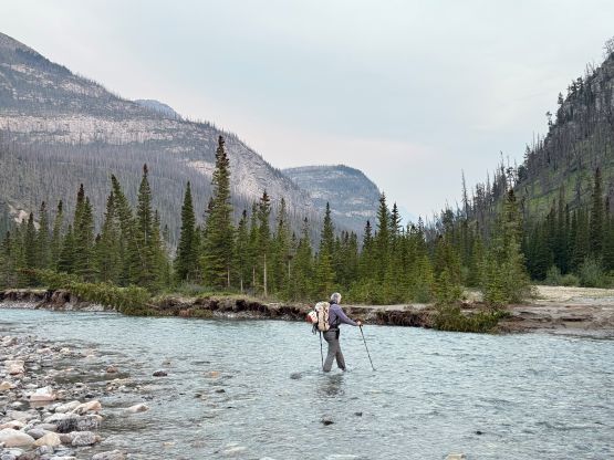
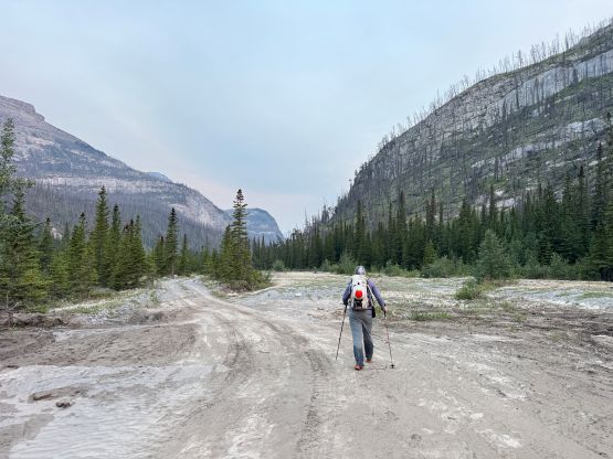
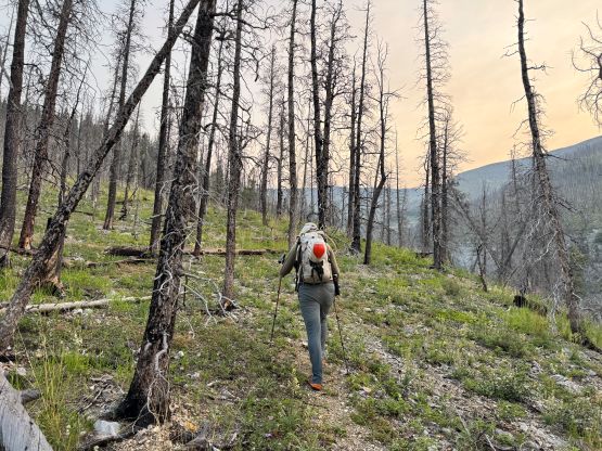
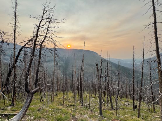
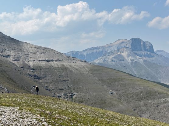
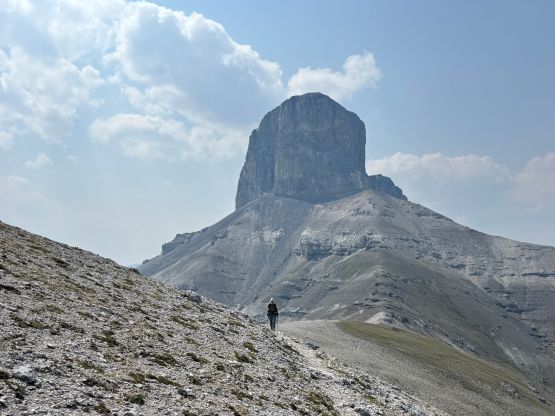
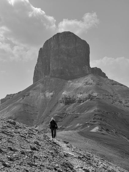
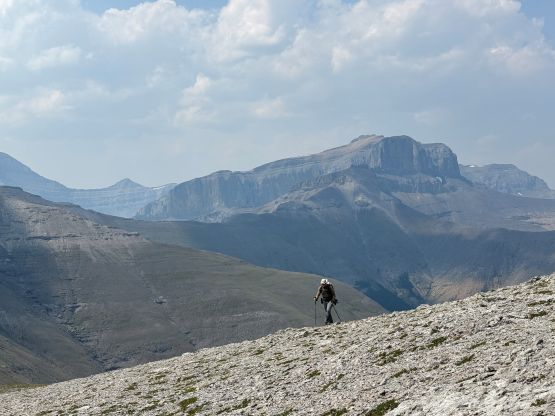
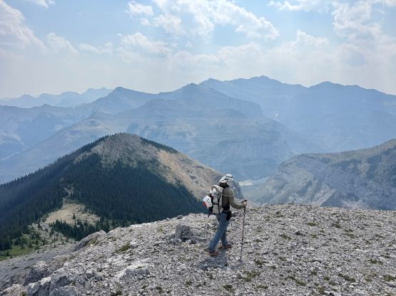
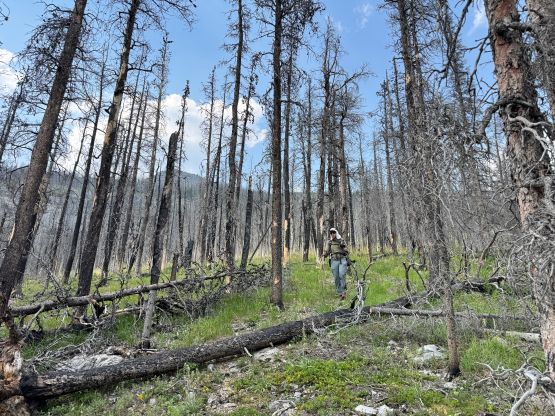
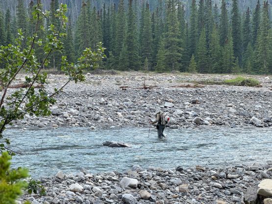
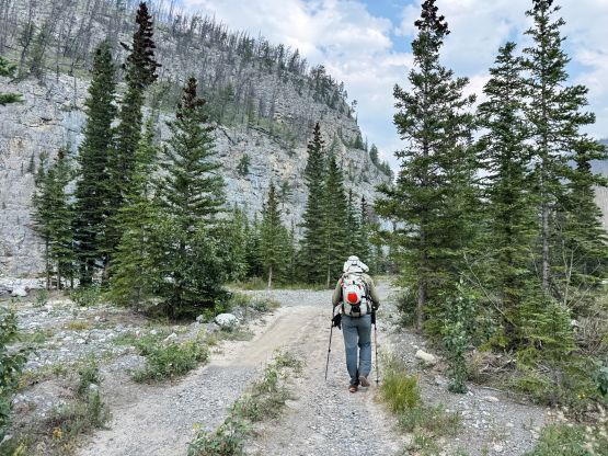
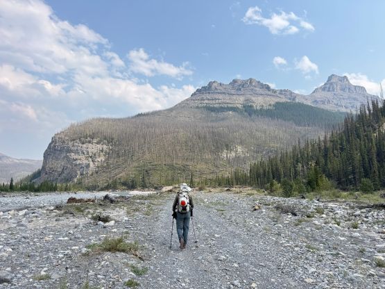
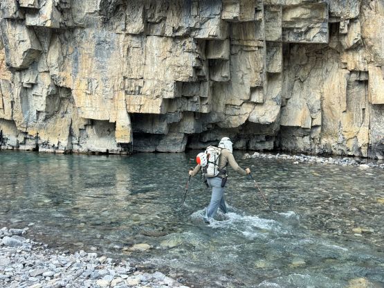
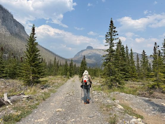
The next morning we decided to get up at 5 am in order to start hiking right after the sunrise. I was honestly not super keen on waking up this early but Steven N. wanted to get back to Lethbridge that same day, so we had to sacrifice some sleeping hours. We knew from Brandon Boulier’s trip report that the 3 separate river crossings would come in a sequence so I started the hike by wearing sandals and a separate pair of socks. The total walking distance from the vehicle to the 3rd river crossing was about 1.5 km so the walking in sandals was a bit longer than I had hoped for, but this was definitely better than changing footwear 6 times. The 3rd crossing was the deepest (thigh deep) and all three crossings were decently cold, but they weren’t difficult. We then changed to the dry socks and I followed Steven’s lead upwards onto the approach trail. The going was quite steep for a while and I liked the pace Steven was setting. The pace was much more civilized than what I have been used to in the coast these days, so I appreciated the change. The trail was overall unofficial so don’t expect a no-brainer trail to follow. We completely lost the trail on several occasions but there’s no “bushwhacking” whatsoever even without a trail. The going was entirely in easy and open forest so we mostly just went straight up. Eventually we topped the first bump on Bastian Ridge. There are 3 bumps to traverse up and over and the highest one had just under 100 m prominence according to my GPS readings, so it could not be treated as an independent peak. The plodding was long but at least the terrain was easy, that it didn’t take us long to reach the base of Devils Head where we took the only long break on the ascent.
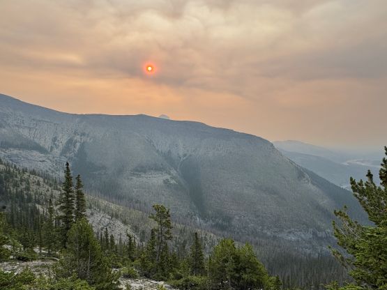
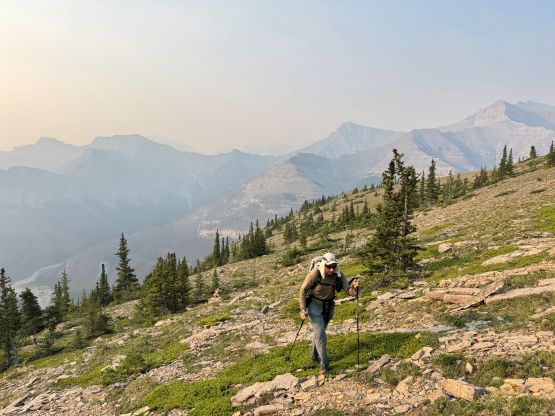
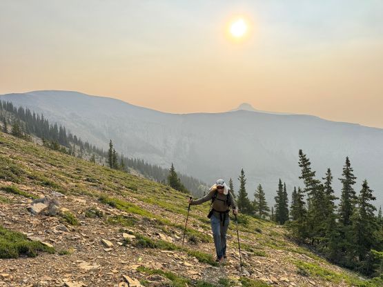
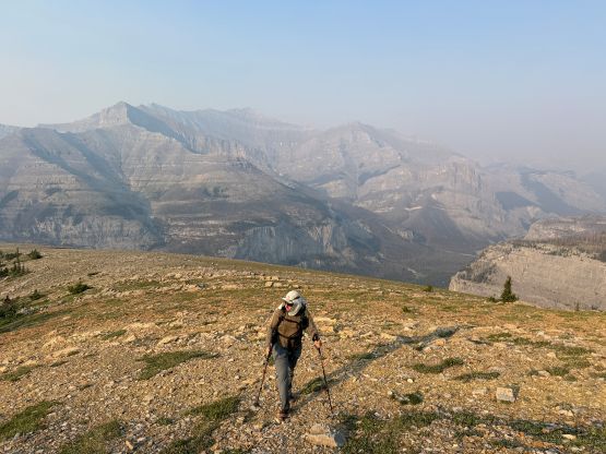
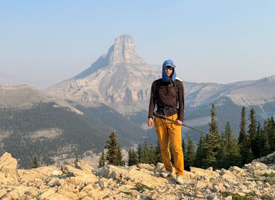
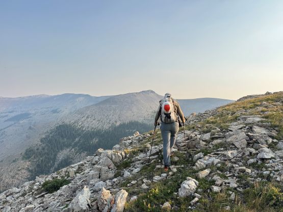
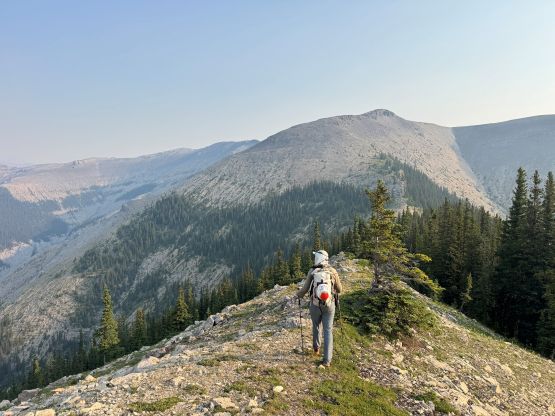
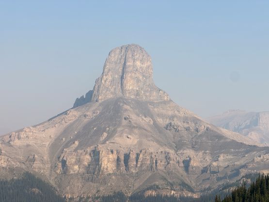
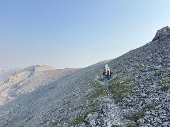
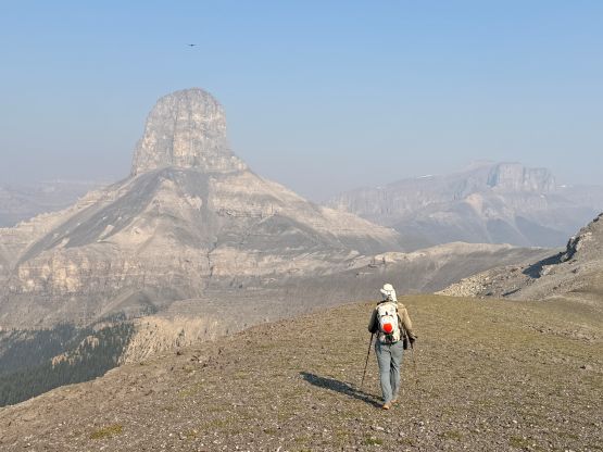
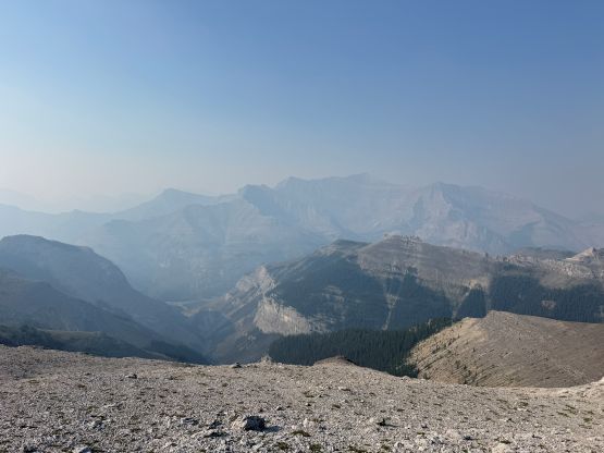
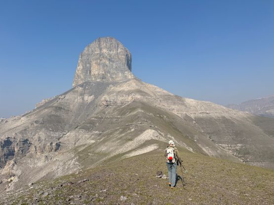
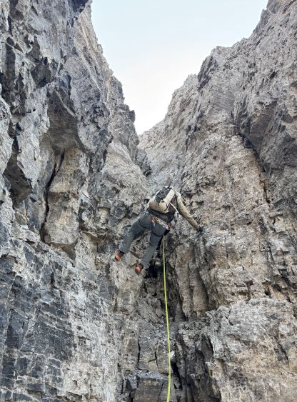
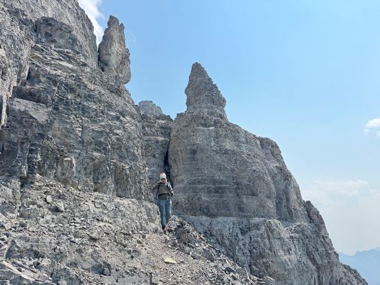
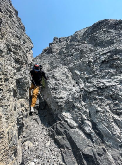
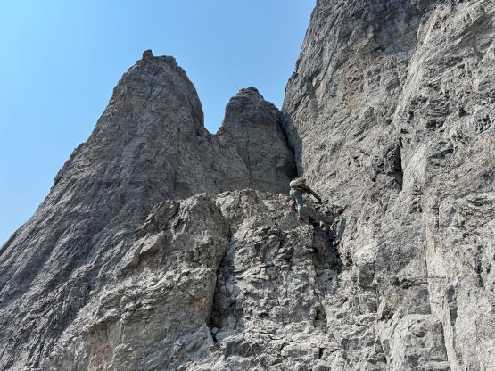
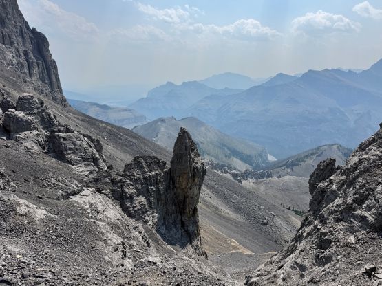
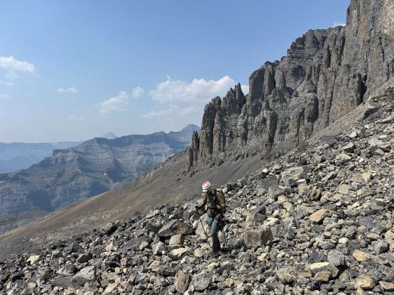
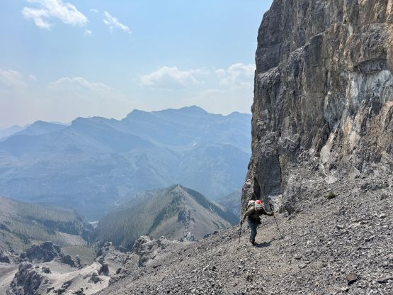
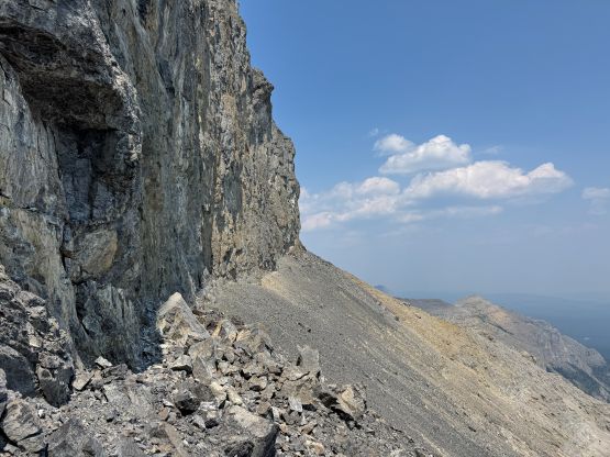
After plodding to the edge of the cliffs we did find the goat’s trail mentioned in some trip reports. Traversing on those paths made the going much more civilized. We did have to lose some notable elevation while wrapping around the SE corner of the tower, and there was one section of unavoidable scree bash that felt quite awful. We failed to find a path on both the ascent and the descent so I didn’t believe there was any for that stretch. The side-hilling eventually brought us to the weakness in Devils Head’s cliff bands on the SW side of the tower, and that’s where the scrambling began. I did not do much research besides downloading Brandon’s GPX track and I thought the route-finding would be straightforward. There were lots of smaller decisions to make in situ but it was basically as expected. There were lots of 3rd and some 4th class scrambling in the gullies and the rock were decently bad. Eventually we hit the west ridge but the route traverses gullies and ramps on the south side of the ridge crest. The crux chimney had one chockstone that required a few awkward moves that were definitely 5th class. Steven N. even donned his rock shoes but after watching him soloing the crux I decided that I could have done it in just the approach shoes. I was correct, but the moves were trickier than I thought. Higher up we encountered at least one section of exposed 4th class climbing (with a rappel anchor above) and lots of “difficult scrambling” so this route was both longer than more involved than I thought. Nevertheless this objective didn’t impose too much problem for the two of us. The winds were howling on the other hand which made the “stroll” to the true summit not as pleasant as I was hoping for.
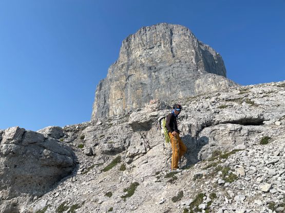
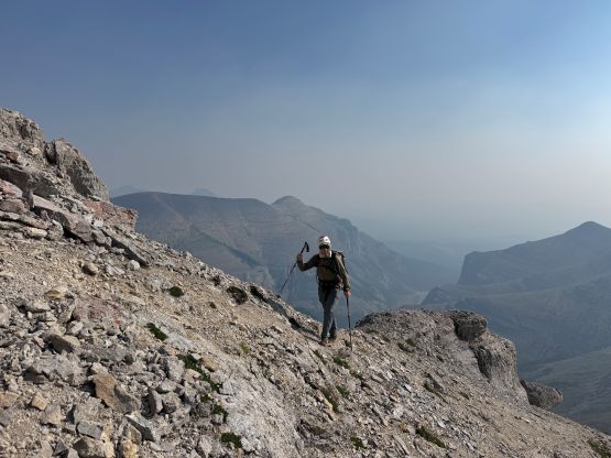

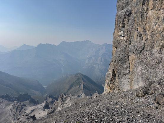
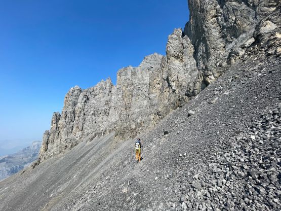
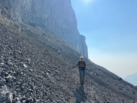
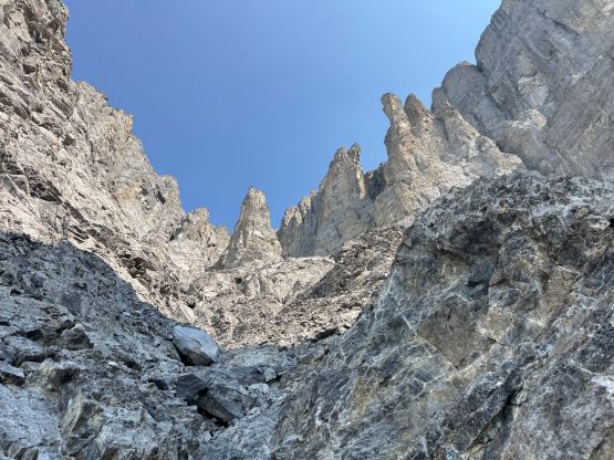
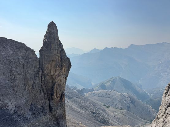
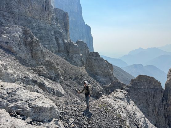
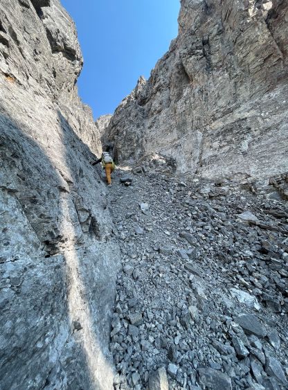
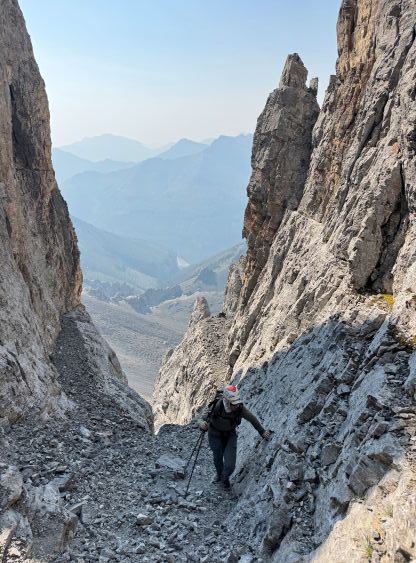
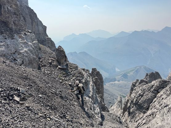
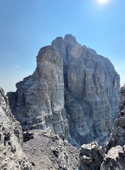
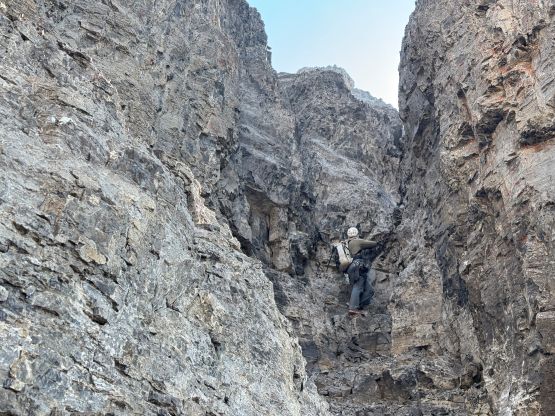
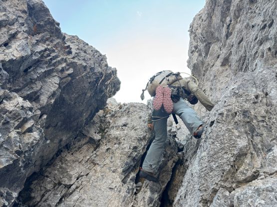
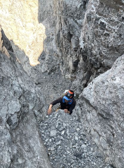
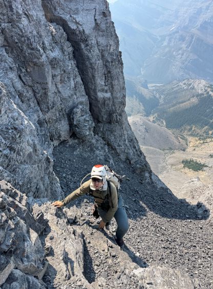
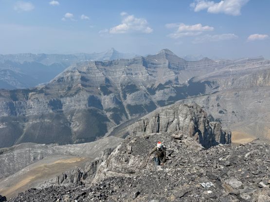
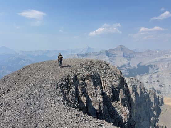
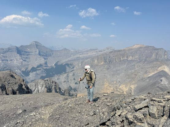
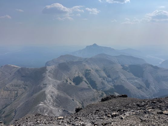
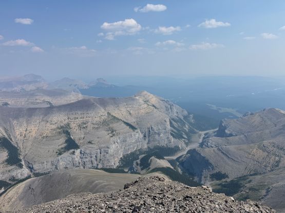

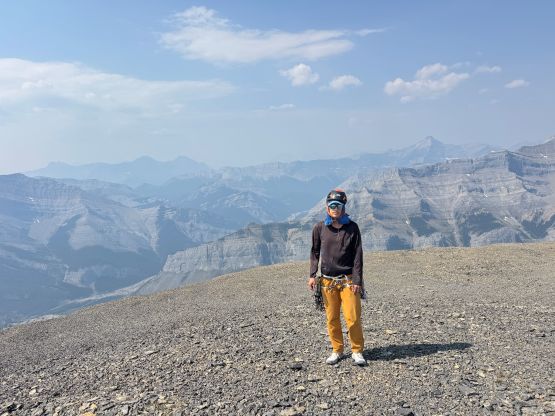
After making some socials update we started the descent by retracing what exactly we had just done. The down-scrambling required a lot of care. At the crux chimney we opted to make a single rappel using the 30 m rope that I had brought, so the other 30 m rope stayed entirely in Steven’s backpack for weight training. The rack that we had brought up was also not needed on this outing. I did not particularly enjoy the descent down that gigantic south-facing gully system as the rocks were horribly loose at places, but at least we were in a group-of-two and weren’t sharing the mountain with other parties. Traversing around the base of the tower felt just as awful as on the ascent and the traverse back over the bumps on Bastian Ridge was also long and tedious. At least all of these were above treeline so we had views. Just like in the previous day the smoke situation seemed to be improving in the afternoon but it could also due to the direction of the lighting. Either way we slowly worked our way back down to the river crossings and finished the round trip in just over 10 hours. Steven N. managed to get us out of the Ghose without mishap, which was arguably the most uncertain part of the trip. I then drove east to Cochrane for the late dinner and then drove west to find a car-camping spot to prepare for The Wedge and Observation Peak on the following day.
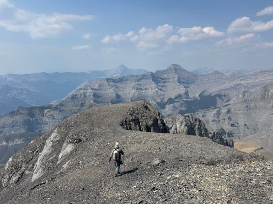

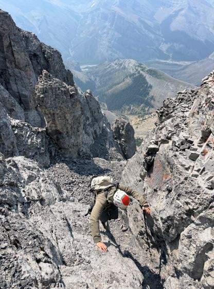




 Steven's Peak-bagging Journey