Cache Peak and Mount Independence
September 13, 2026
3152m
Twin Falls, ID
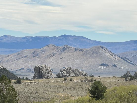
Cache Peak is the sky island in the southern Idaho deserts, not terribly far from the city of Twin Falls. This peak boasts over 1300 m prominence making it one of the most topographically significant objectives in the state. Mt. Independence is the second highest on the massive but it’s more approachable and sees more traffics. Peak-baggers usually aim to do these two peaks in the same outing. I noticed them on the Peakbagger app solely because of the prominence. I had very limited time to do research as it’s done mainly to break the monotonous drive coming back from Colorado. In the previous day I ascended Mt. Nebo in Utah and the plan was to camp at Cache Peak’s trail-head.
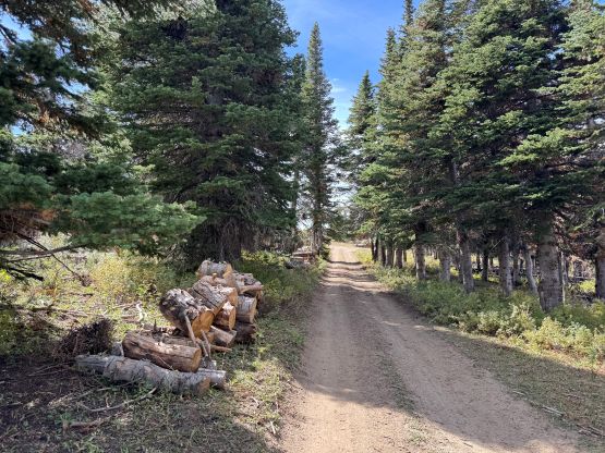
There are apparently several ways of doing this objective but for simplicity I opted to strictly follow Rob Woodall’s route. I trusted Rob that he had done his homework thoroughly and took the “easiest possible way” as he too did it as part of an extensive peak-bagging road trip. On a trip like this it’s crucial to minimize each outing’s physical effort to maximize the number of peaks bagged. The lengthy and contrived driving approach starts from the small village of Oakley to the west, and goes pretty much to City of Rocks before branching off to the north. The roads north of Finger Rock Campground were nowhere as smooth as I was hoping for. Rob gave them a “2WD” review but I disagreed. Perhaps the condition had deteriorated but as of 2026 one needs at least an AWD “crossover” to make do. I drove to the supposed 2WD trail-head in a rental Nissan Rogue and felt like I was pushing the vehicle a little bit.
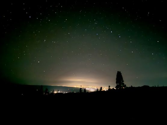
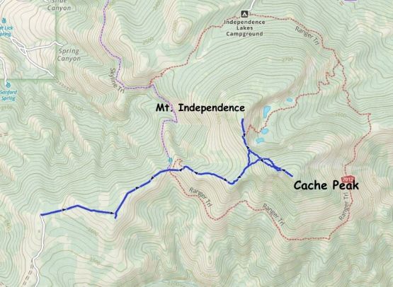
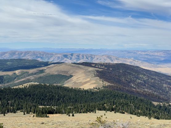
The next morning I woke up “naturally” at 8 am as usual. I knew this was going to be a big day given that I needed to push as far homewards as possible afterwards but the only way to survive such a push was to sleep in. To get to the actual trail-head I needed to plod a few kilometers on the “4WD road” up and over a subsidiary bump. This bump lacks a name but has 99.8 m prominence (thanks to LiDAR) which rounds to 100 m, and hence shows up as a bigger dot on the Peakbagger app. For that sake reason I did a short detour from the road to tag the high point, which actually offered a bit of views. I never felt this stretch of the FSR to be particularly worse than what I had driven in the previous night, so most likely the roads had deteriorated since Rob’s visit a few years ago. There was one spot that could potentially damage the Rouge but I almost thought I could drive it to the absolute road’s end.
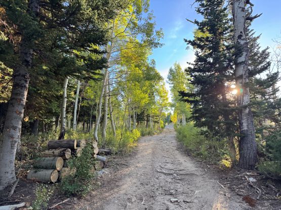
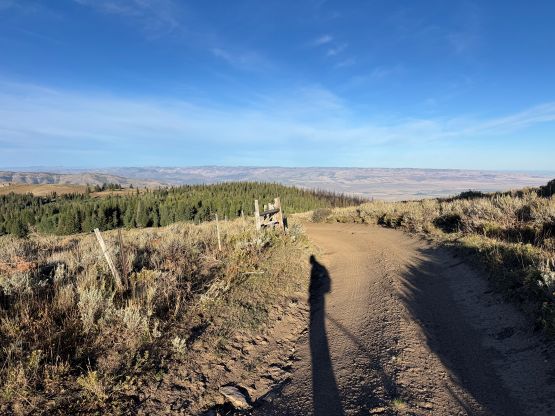
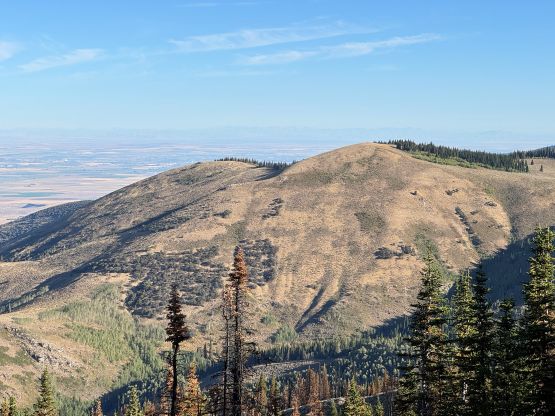
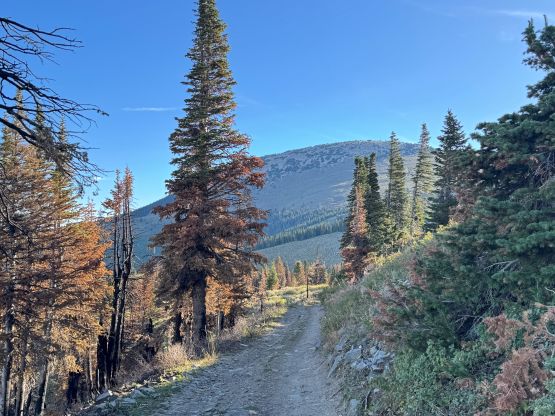
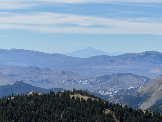
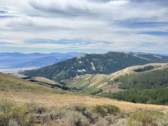
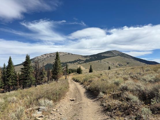
I then picked up the trail ascending towards Independence/Cache saddle. This trail apparently lacked maintenance but was still easy to follow, and wasn’t too overgrown yet. To ascend Cache Peak I would need to leave the trail somewhere around 2900 m and I mostly did so by following Rob’s GPX tracks. There were also several Gaia’s public tracks to follow and the tracks did not converge, suggesting this was a pick-your-own-adventure section. Indeed, the going was mostly in open forest with some very minor bushwhacking if one dares to classify this as “bushwhacking”. The going became worse closer to the summit due to some large boulders and the summit was definitely much farther back than anticipated. The route felt foreshortened but not difficult, and the summit does offer nice 360-degree panoramic views.
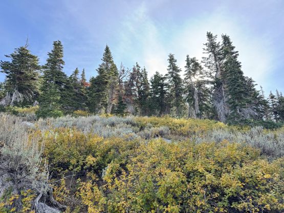
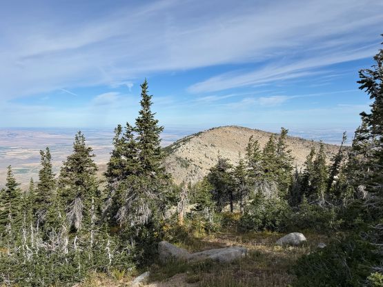
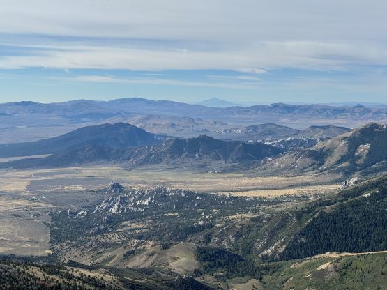
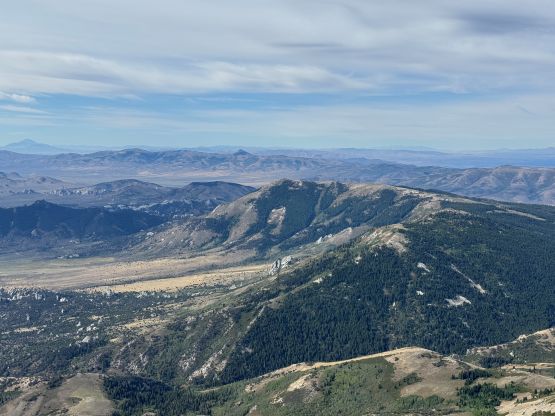
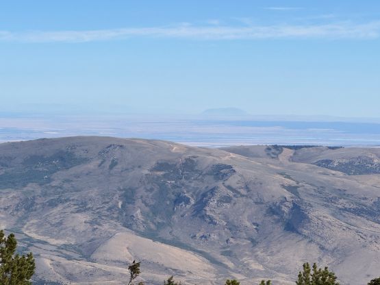
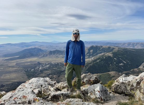
A while later I started the descent and again, the route felt tedious. I had to constantly hold the GPS screen to make sure I didn’t go too far off course, and still needed to correct the bearing a few times. Lower down I directed the bearing straight towards Cache/Independence saddle and the bottom of the route had a few tight timbers to content with. Up the south ridge of Mt. Independence the terrain opened up again, but the path wasn’t super obvious. There were still fair amount of boulders to deal with but overall this peak was definitely easier/shorter than Cache Peak.
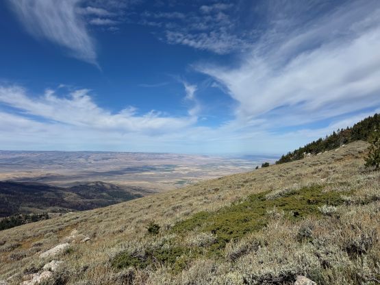
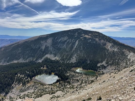
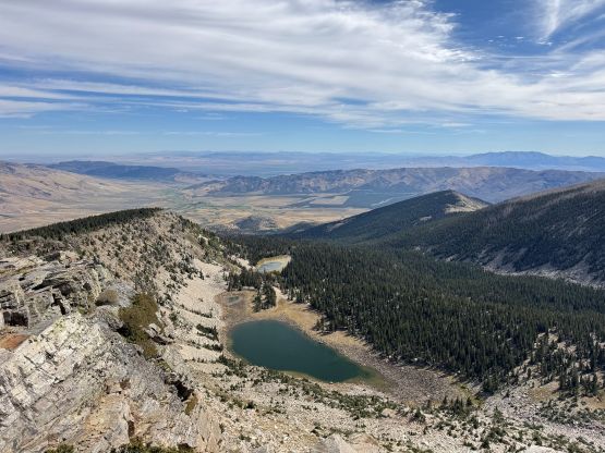
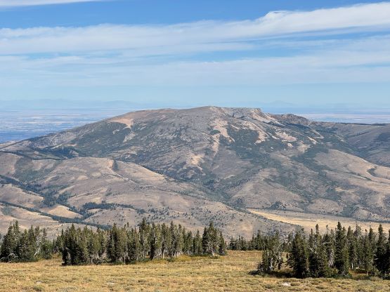
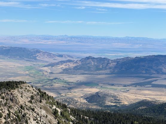
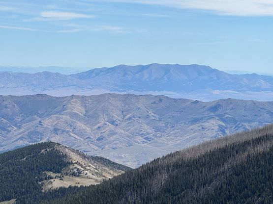
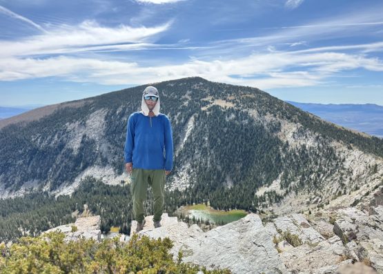
To descend I retraced the exact route I had taken down the south ridge and then picked up the trail. There’s not much worth noting for the rest of the return but I did end up covering 16 km distance so this wasn’t a short, no-brainer type of outing that I was hoping for. The driving was also sketchy to say the least so it took me a long time to get back to Oakley. The Google Map then directed me through some confusing backroads back to the Twin Falls vicinity and then I got stuck in the horrible rush hour traffics through Boise. I ended up having dinner in Boise and while having dinner I texted a few friends to organize the next trip back at home. That same day I pushed all the way to Yakima, WA and then got back home the next morning. After resting a few hours I was on the roads again, driving 6 hours into the interior of B.C. for an ascent of Dunn Peak on the following day.