Beartooth Mountain
October 4, 2026
1903m
Powell River, BC
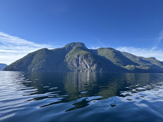
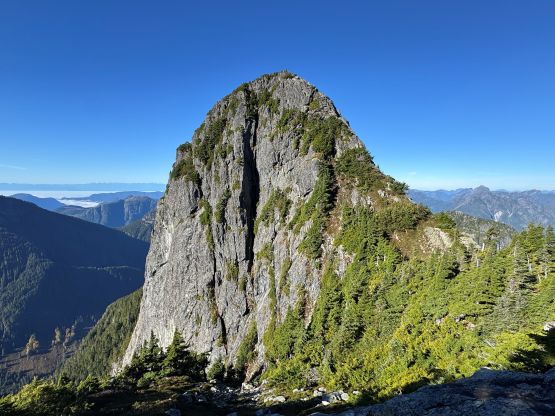
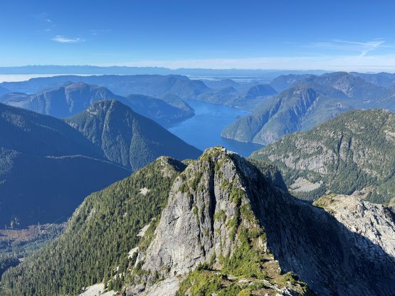
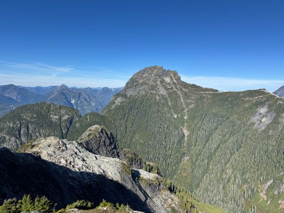
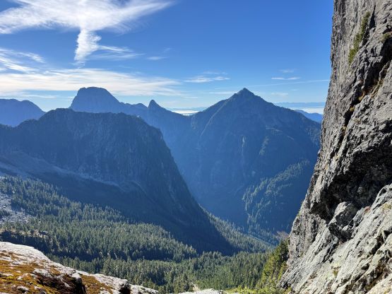
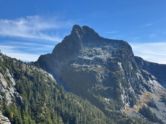
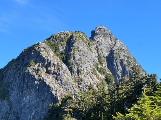
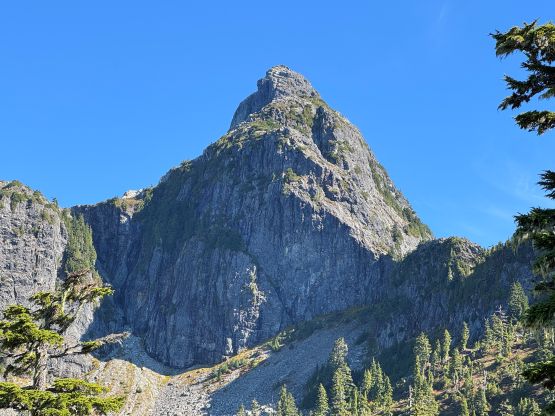
Beartooth Mtn. is one of the icons in Powell River vicinity and had caught attention from mountaineers in different generations. The first ascent dated back to the 1930s via W. Ridge from Powell Lake and that is still the “standard route” nowadays. The same approach can be used to climb the harder S. Ridge whereas the NE Ridge has also been climbed at least once by an intense bushwhack up from Eldred River valley. The W. Ridge and the S. Ridge both require a private boat transfer up (and down) Powell Lake and all of these routes were traditionally done in at least 2, if not 3 days. Originally Tyler and I were planning to climb Mt. Churchill by Jervis Inlet taking advantage of the boat transfers offered by Tyler’s parents but the objective got switched to Beartooth Mtn. since logistically it was the easier option. Tyler had already done this objective via the S. Ridge and wouldn’t mind repeating via the W. Ridge, and we even managed to recruit the local climbing legend Jason Addy to come along. This would be Jason’s 6th summit of Beartooth Mtn. so I basically just tagged along. There was hardly any work left for me to do except for finding that perfect timing window. This fortunately also lined up with a Sunday. Tyler was keen to make a single day home-to-home push from Powell River and I was originally skeptical about the plan. However, given that we already got the “beta” dialed in and were able to travel light and “scramble” everything without a rope I eventually agreed to give it a try.
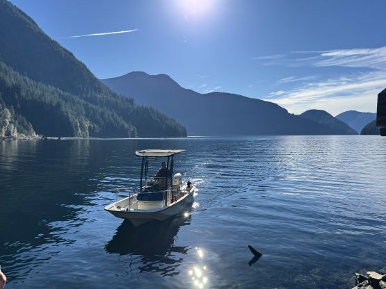
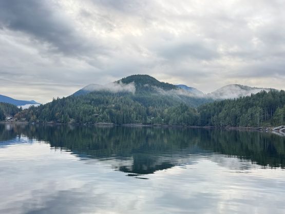
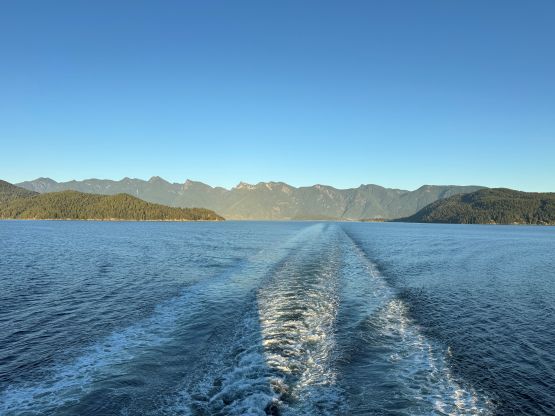
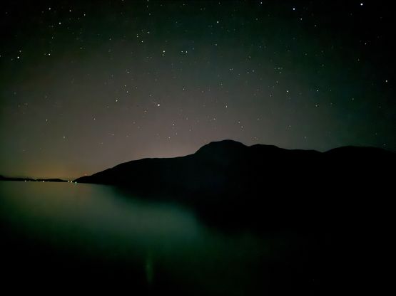
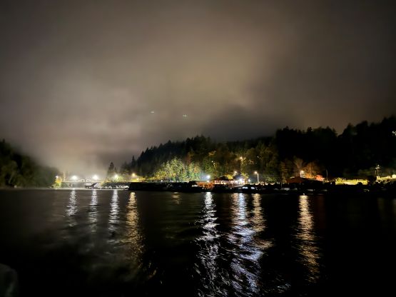
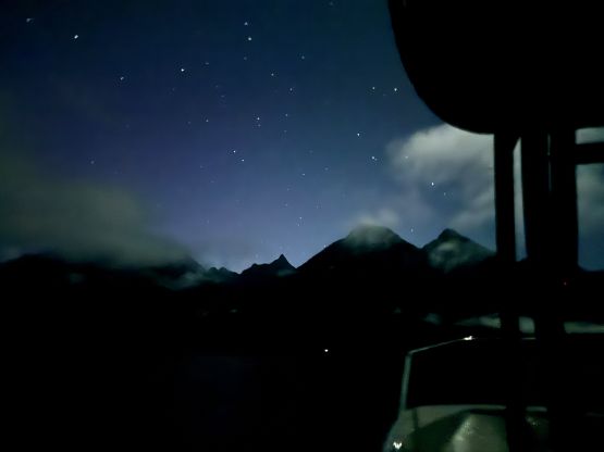
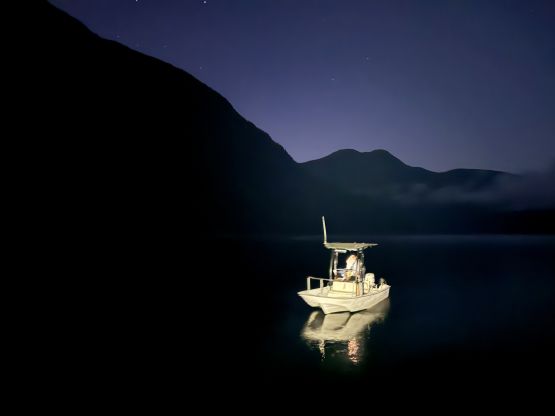
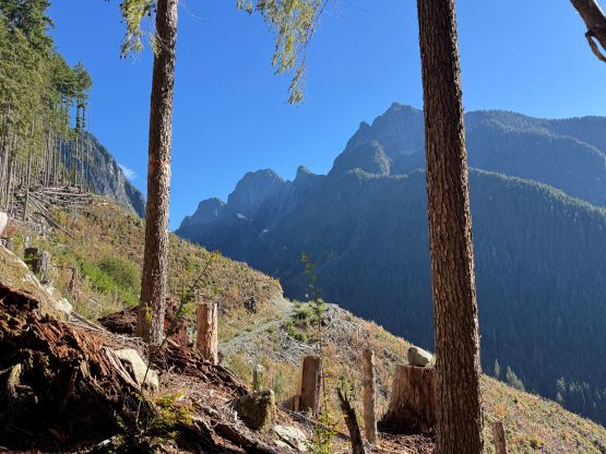
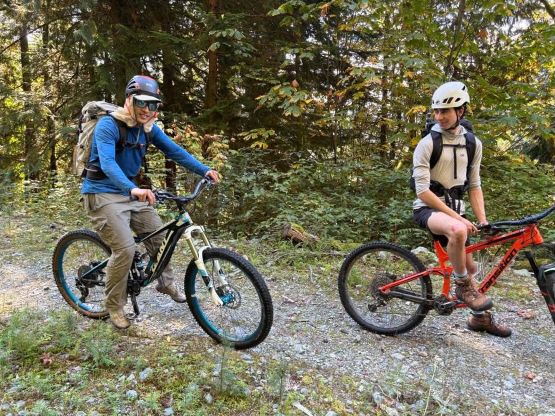
Tyler and I left Vancouver on Saturday afternoon and took the 4:45 pm ferry out of Horseshoe Bay. The ferry was delayed by 50 minutes and that was honestly the main reason why I didn’t book the 7 pm ride. Taking the 7 pm ferry out of Horseshoe Bay would still get us on the 10 pm ferry to Powell River but there’d have no margin for errors. I didn’t want a ferry delay to jeopardize the mission so opted to skip a couple hours of work for more contingency. The traffic from White Rock to West Vancouver was horrendous (took 1.5 hours) but not the worst I’ve seen. Fortunately for us there was no further delay so by having (the expensive) dinner on the first ferry we were able to make a single dash from Langdale to Earls Cove and still caught the 8 pm ride to Powell River. We were on schedule, at last. Tyler’s family offered me a stay in the house for two nights and the plan was to get up at 3:50 am in order to depart no later than 4:30 am. We picked up Jason first and then drove to the boat launch. At first the engine couldn’t start but a few attempts later we were able to sort out the problems. I was impressed that Zak (Tyler’s dad) could drive us the entire way up Powell Lake in the pitch dark especially that the visibility was down to almost nothing at the beginning due to fogs. About halfway up the lake the fog dissipated and we could see the outlines of these mountains. There used to have a dock at the start of the FSRs underneath Mt. Baldy and Beartooth Mtn. but the dock was removed. The parking and unloading was decently challenging because of that but fortunately we were still able to keep the shoes dry. We also opted to take two regular bikes and one e-bike to facilitate the approach and unloading the heavy e-bike was particularly difficult.
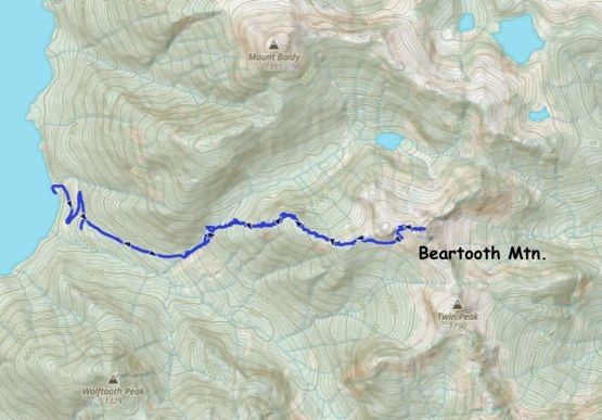
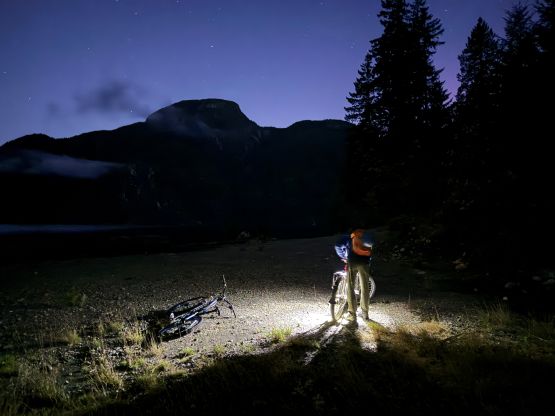
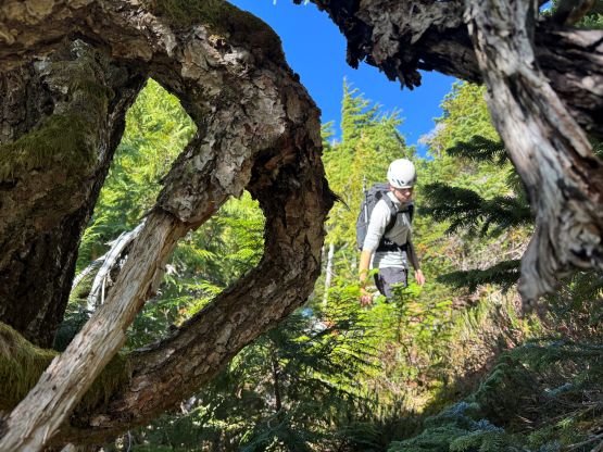
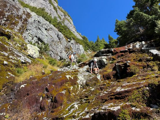
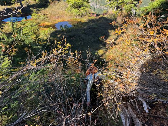
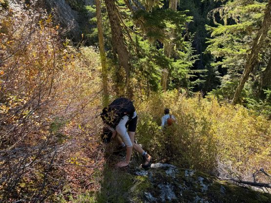
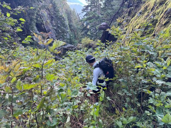
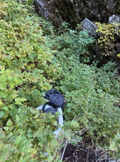
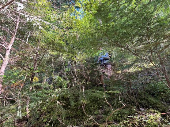
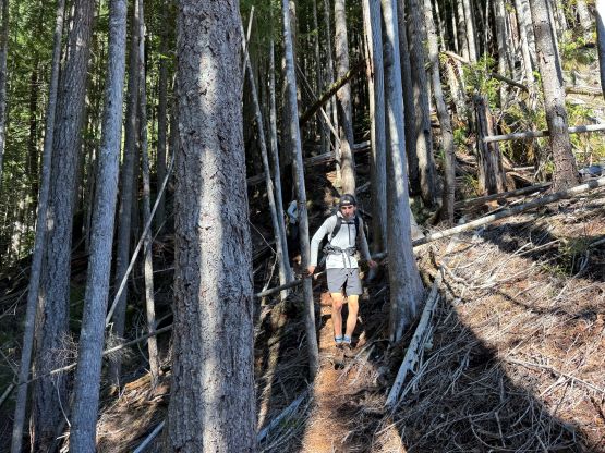
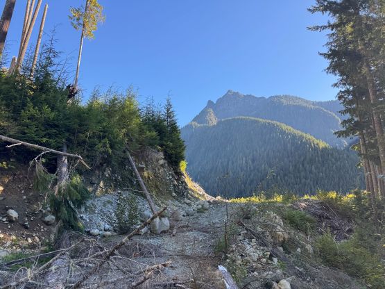
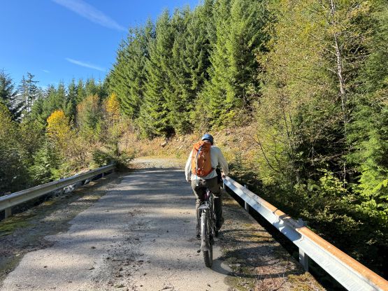
The FSR gains 400 m elevation in less than 3 km and has been deactivated, so the road bed was quite rough. Jason was the only person able to ride at least half of the way up (with the assistance of the e-bike) but Tyler and I had to push for at least 80% of the way. There were a few flatter stretches to speed things up but I pushed pretty much all of the uphills. I was also not in the biking shape so didn’t want to overly exhaust myself before the actual climb even started. It wasn’t in the pitch dark anymore by the time we parked the bikes but the head-lamps were still required for at least the next half an hour. I mostly followed Jason and Tyler’s leads ascending the steep forested flanks paralleling the creek that drains from Shirley Valley. The bushwhacking was fairly minimal at this stage and in fact, there’s supposed to have a “trail” but it was quite intermittent and difficult to follow. We also missed the optimal place to get to the creek to load up the water bottles and had to make a long horizontal traverse which created some minor frustration. At around 800 m elevation we slowly merged into a dry gully and started to encounter several types of thorny plants. Most of the devil’s clubs were avoidable, thankfully. This gully was the crux of the approach as it’s loose, tedious and very bushy towards the top. We attempted to exit early but such resulted in some 4th class down-climbing to backtrack, so we did have to embrace the BW4 thorny plants in the upper gully. Thankfully the worst didn’t last too long. Higher up we also exited the gully earlier than the optimal and that resulted in another pitch of 4th class scrambling on wet, down-sloping and moderately exposed terrain to surmount a bluff. I was trying to follow a GPX track downloaded from Gaia’s public database. Jason, who had been up this way multiple times in the past, led us down a better way on the return.
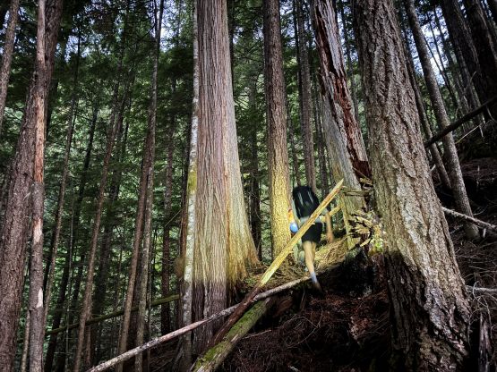
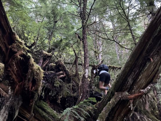
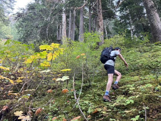
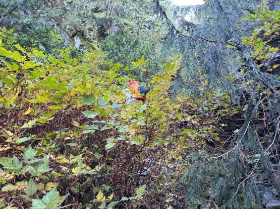
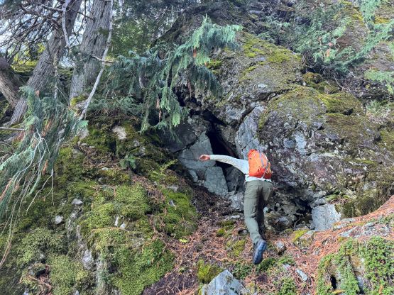
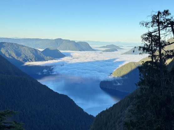
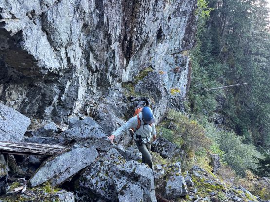
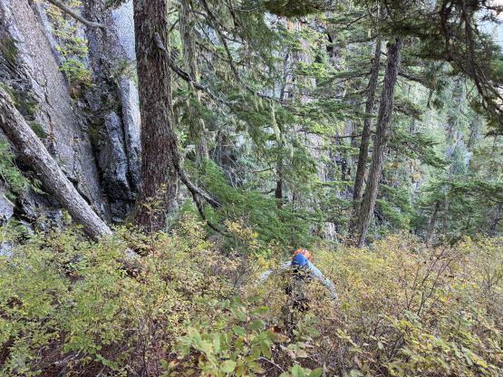
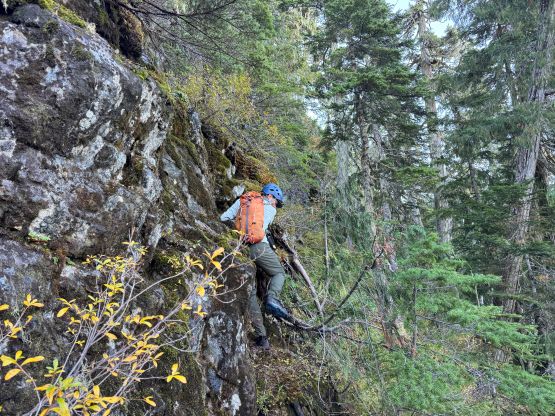
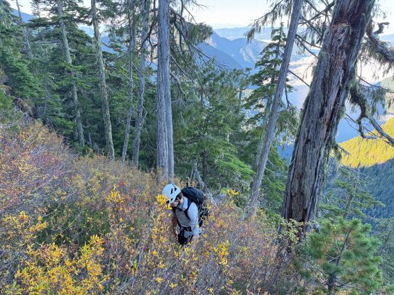
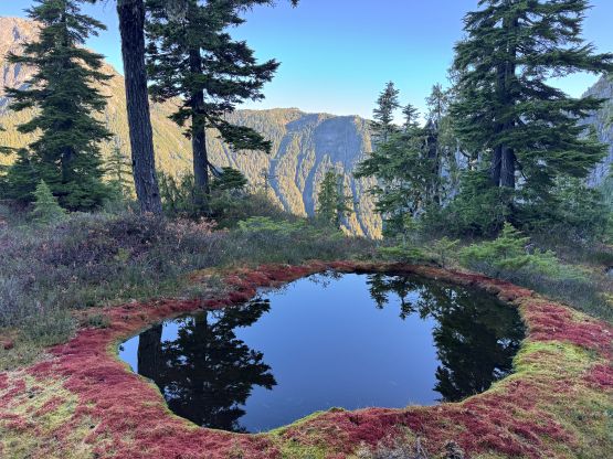
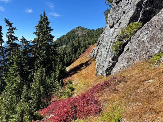
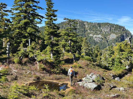
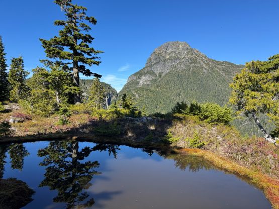
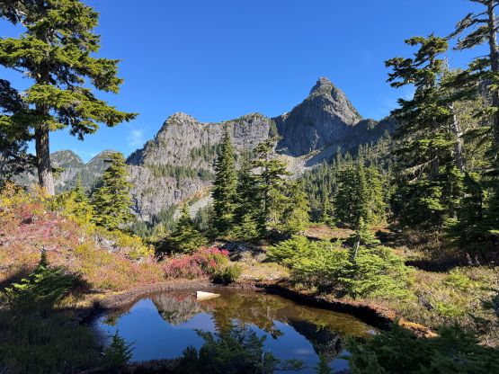
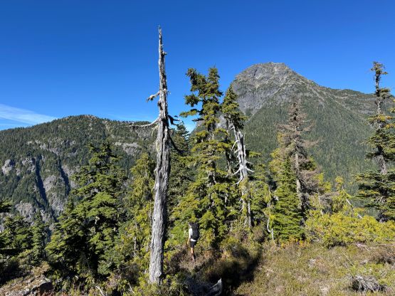
The next stage was a cruise sail up the west ridge and the trail started to appear frequently that we were actually able to stay on this trail for the majority of this stage. The ridge was not as “open” as I thought and without this path we would still be bushwhacking. We also didn’t stay exactly on the crest and traversed on the north side for quite a while. The north sides were very slick, unfortunately. We also plodded past a few stagnant tarns so for the minimalist approach we could have brought a filter and loaded up the water here, but without a filter these tarns weren’t looking inviting. Eventually we reached a bushy notch and descended to the south side to bypass “Little Beartooth” and this stage had some nasty side-hilling bushwhacking. The bushwhacking then gave way to a long traverse on grass and that was slippery to say the least. We could have descended a little bit farther to have less grass to content with but we also didn’t want to deal with unnecessary elevation loss and regain. It’s a pick-your-poison type of adventure by this stage.
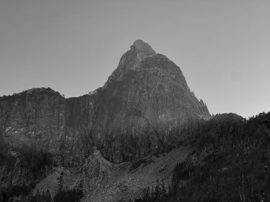
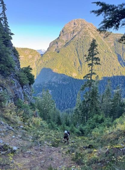
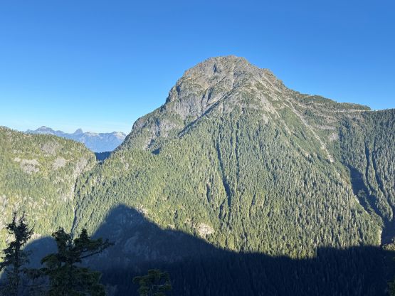
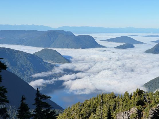
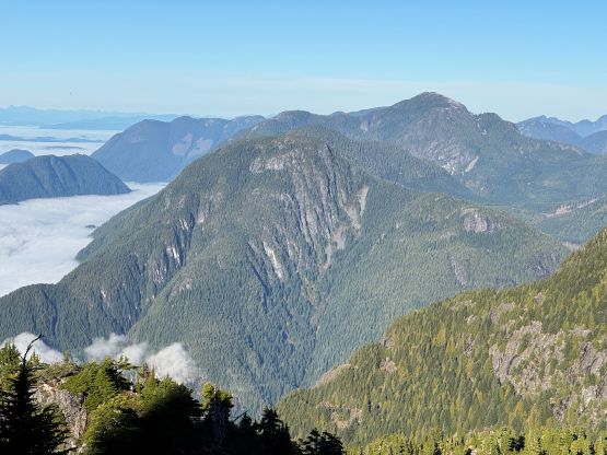
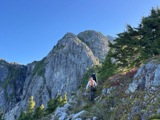
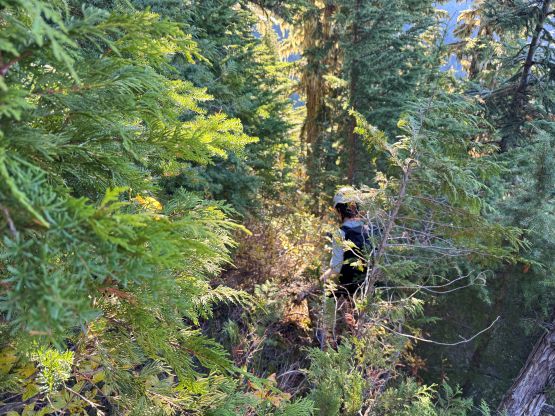
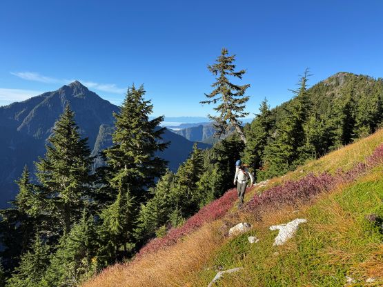
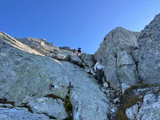
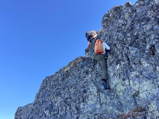
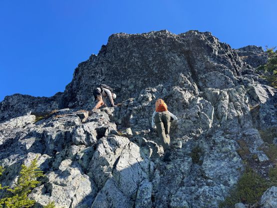
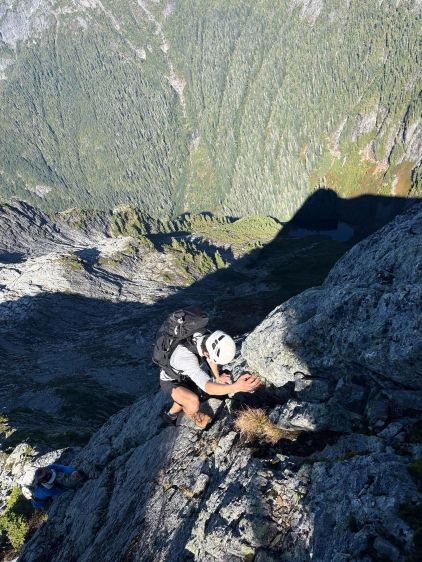
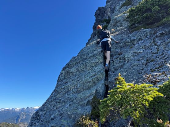
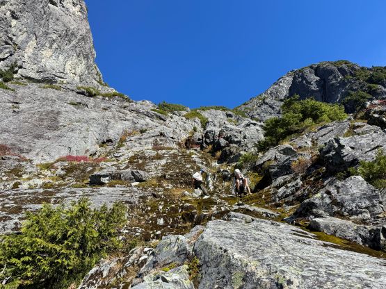
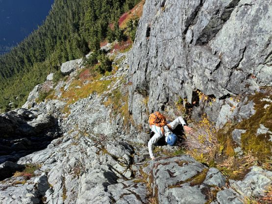
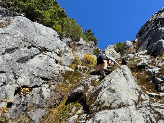
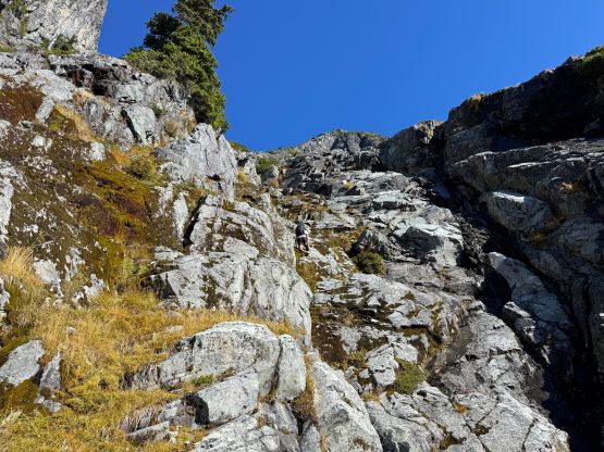
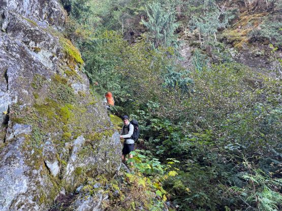
After crossing the dry drainage that comes down from Little Beartooth/Beartooth saddle we started up again, and then there came the crux 4th class gully. Jason had climbed the low 5th class vegetated rib to the left but assured that the gully would be the easier variation. The word “easy” is relative, as this was still a serious pitch of scrambling that would be called “free soloing” by those who don’t do rock climbing. A few sections were very slabby with hardly any reliable “hold” to grab on. The route-finding was also difficult in order to stay on the easiest path that Tyler ended up having to backtrack to find a different way. If the pitch was any harder I probably would prefer to have a rope to rappel and in fact, there was an existing rappel station, but to clear this pitch one would need at least one 60 m rope. We were able to “scramble” everything so I was definitely glad to have left the ropes and harness at home. We then scrambled up some 3rd class slabs working right and then back to the left aiming for the saddle above. The slabs became more and more blank and this section actually reminded me Stonerabbit Peak that I did many years ago. There were a few harder spots coming up due to the wetness but still easier than lower down in that dry gully. Then up the west ridge of Beartooth Mtn. we mostly stayed on the crest but made a few detours on either sides. The route was long and sustained and harder than I thought overall. There were definitely some 4th class and some sections with lethal exposure but there wasn’t a particularly crux spot to really worth noting. Eventually in 4.5 hours from the boat we all got to the summit.
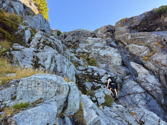
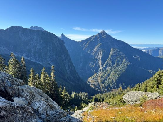
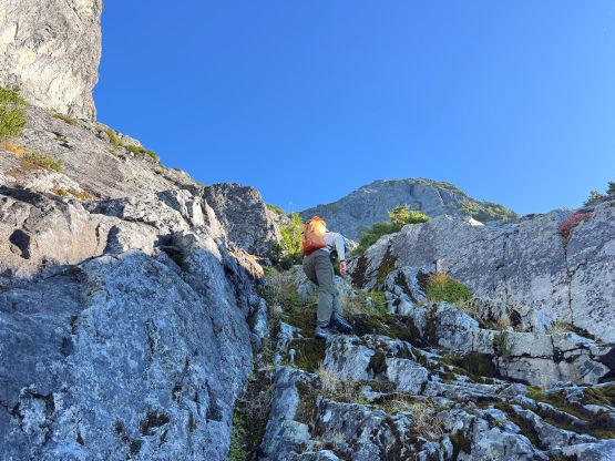
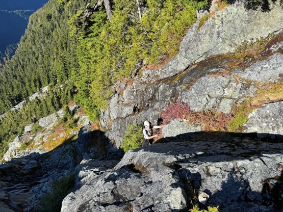
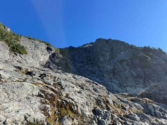
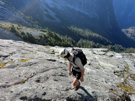
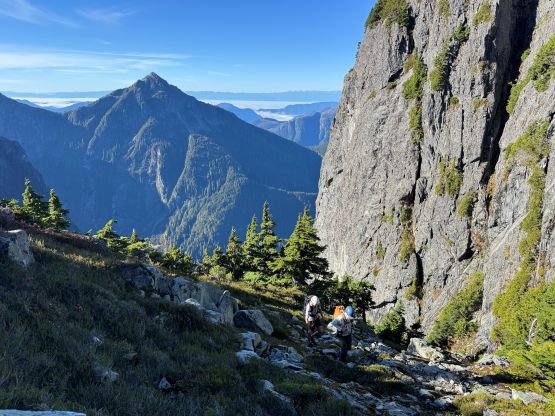
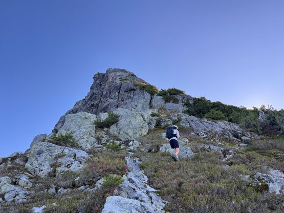
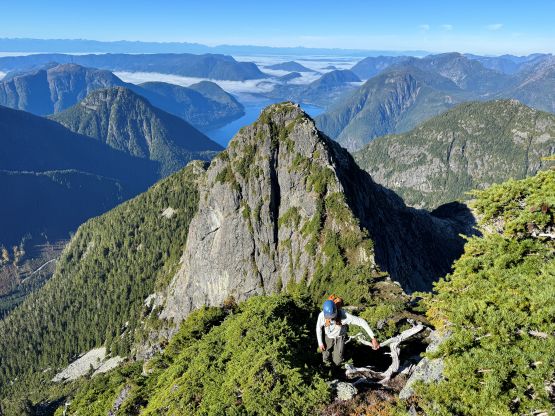
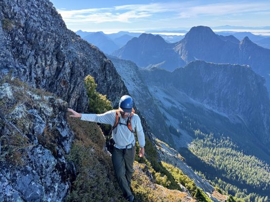
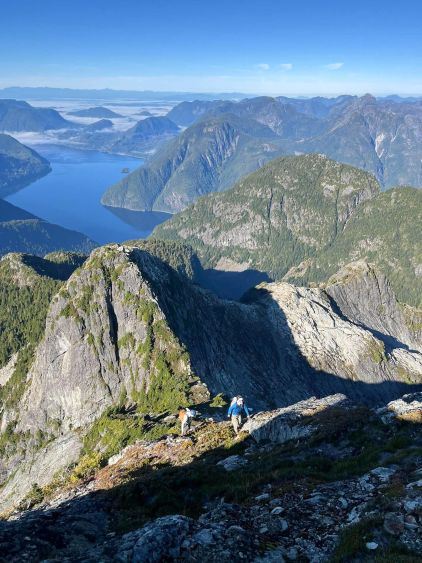
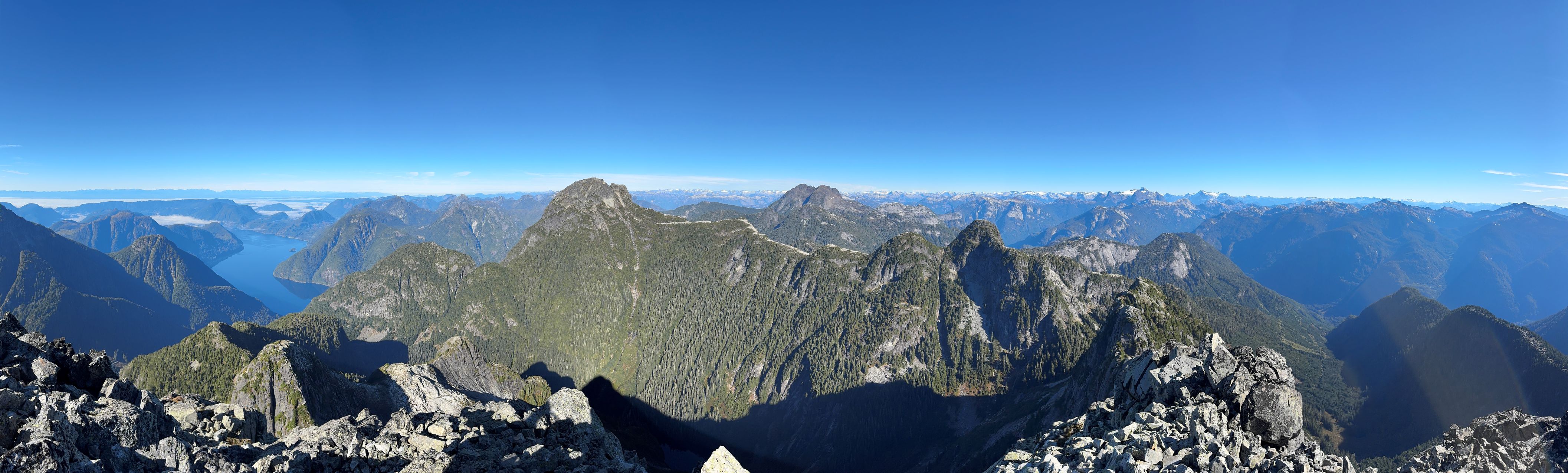
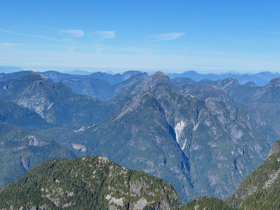
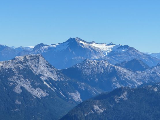
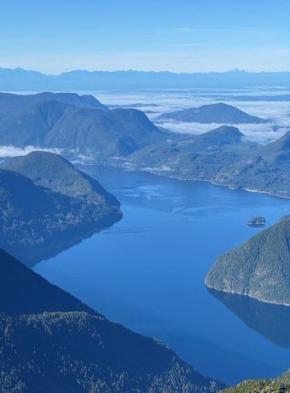
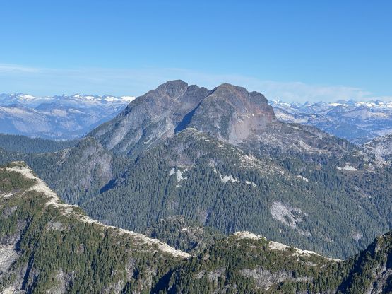
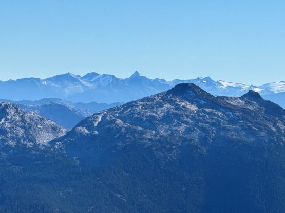
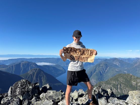
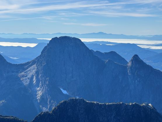
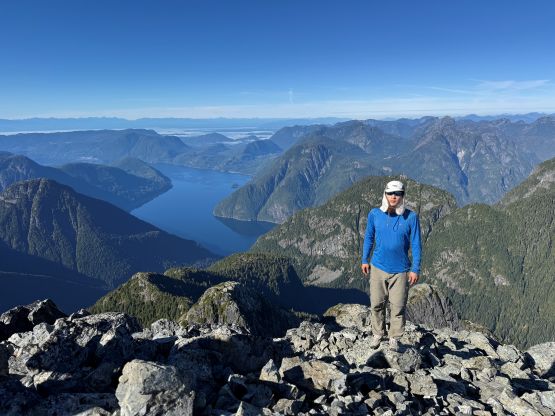
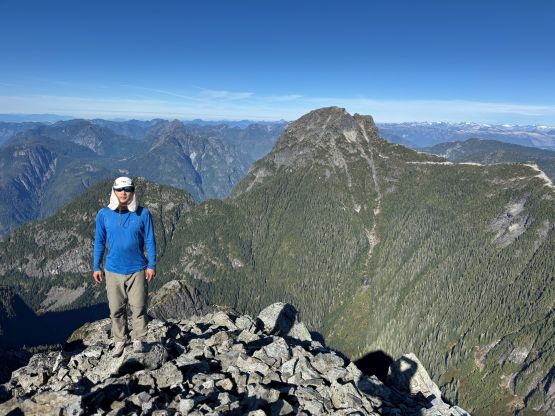
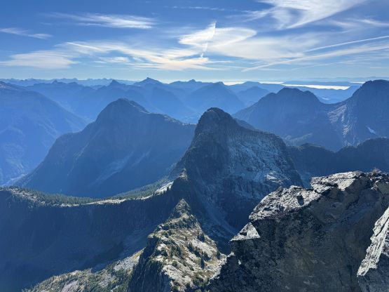
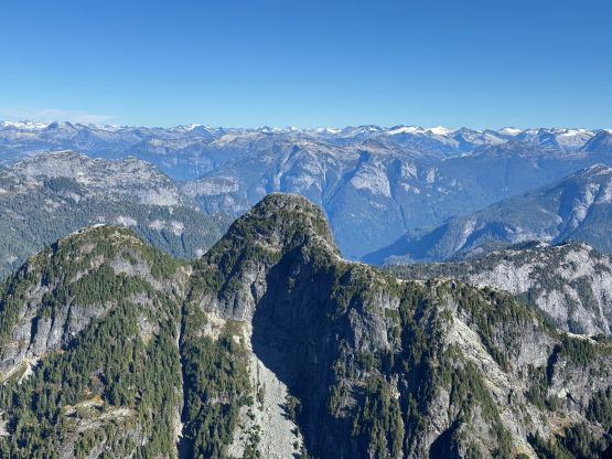
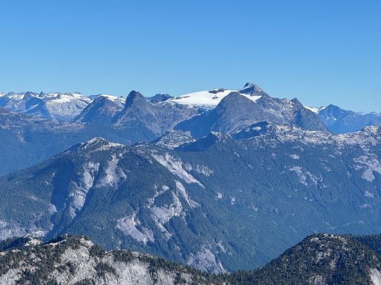
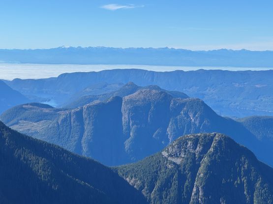
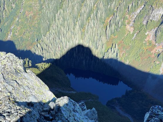
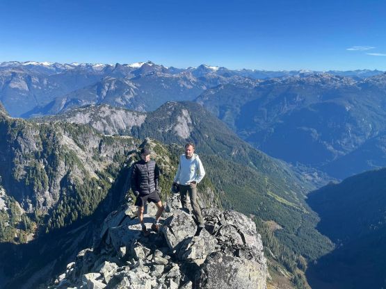
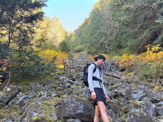
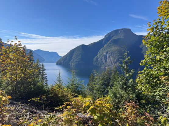
We took a long ass break on the top since I was able to catch some sporadic cell reception. We thought about descending the south ridge by adding “Twin Peak” but decided against it so that we could get home by dinner time. I then texted Tyler’s mom to update our progress and booked the pick-up at 3:30 pm instead of 4:30 pm that we had originally planned. I then led us down-climbing the entire west ridge taking some slight variations. I stayed more on the spine this time dealing with more vertical but less loose/exposed terrain. On the ascent I did a few bypasses on the south side but wasn’t particularly happy about them. For the slabs city I basically descended while holding the GPS screen to make sure we didn’t get ourselves onto unnecessarily difficult terrain, and then there came the crux gully. Jason and I mostly reversed what exactly we did, whereas Tyler opted to thrash down the low 5th class bushy ridge. Fortunately there was a fixed rope to help down-climbing the worst of it. Lower down Tyler still had to down-climb some fairly exposed and difficult slabby terrain. To traverse around the south side of “Little Beartooth” I also did some slight variation to minimize side-hilling on grass and I think we did reasonably well. The rest of the descent was long and tedious with lots of 4-letter words flying around, but there wasn’t much worth noting besides finding a better way to avoid that 4th class bluff at the top of the gully. Tyler was the only one wearing shorts and suffered the most, unfortunately. Those brambles were quite serious but overall the bushwhacking was nowhere as bad nor sustained as on Mt. Denman. While biking down I somehow took a wrong turn but quickly realized the mistake. That wrong turn on the other hand, gave me some neat views of the lake. Our round trip time was 9 hours 11 minutes which may or may not be the FKT on Beartooth Mountain. I’m sure a lot of people could have done it faster but this is a rarely climbed peak, after all.
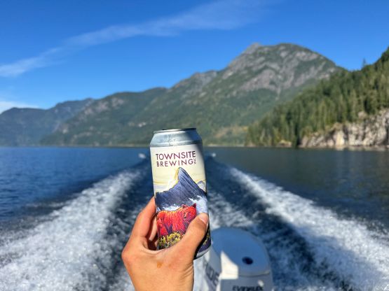
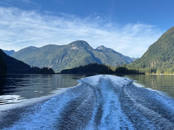
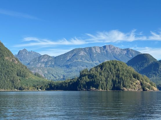
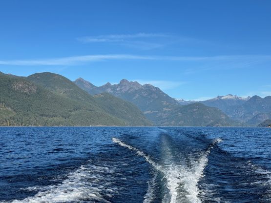
Tyler’s mom got to the dock minutes after us so we didn’t have to wait at all. The boating back down Powell Lake was as scenic as I remembered from the last trip (Mt. Denman), and again we took the east side of Goat Island on the return for some variations. In less than an hour we were back to Powell River and I started to think that I would actually have enough time to tag one of the smaller hills in the vicinity. I wasn’t super motivated to go out solo so I texted Amanda and sure enough, we agreed to meet up at Scout Mountain about an hour later and the plan was to watch sunset from the top. I didn’t get back to Tyler’s home until 9:30 pm and the next morning we would get up at 6 am in order to be on the 7:25 am ferry out of Powell River. I eventually dropped Tyler off in West Vancouver at noon and then made a dash to White Rock for work in the afternoon and evening. And on the next day I would fly to Boston.