Bearpaw Mountain
September 22, 2026
1863m
Mt. Baker Highway, WA
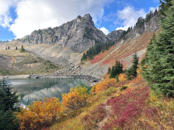
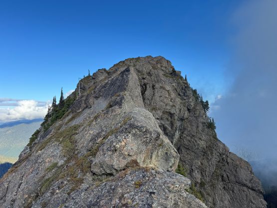
Bearpaw Mtn. is a rugged looking tower accessed from Canyon Creek Road, a relatively major side road off Mt. Baker Highway. It does not boast over 100 m prominence to qualify as an independent summit but does have an official name. The access is straightforward via Church Lake providing one owns a reliable off-roading vehicle and the scramble is exposed 3rd class. I had on purposely reserved this objective as a “before work trip” since I don’t start working until 3 pm in the afternoon, and fall would be the ideal timing as well.
This past Tuesday was the last day of a prolonged sunny stretch before a series of storms coming in so I was desperate to get out despite having 5 hours of work booked in the afternoon and evening. I convinced Kate to come along at the very last minute and as usual, we would leave White Rock the night before to sleep at the trail-head. Both of our vehicles are Subaru Foresters so it didn’t really matter who drove, and since I’m more experienced in off-roading I decided to drive. It turned out that the FSR combined with Canyon Creek Road took an hour each way. The roughness was sustained but there’s no single obstacle that could stop an AWD “crossover” from reaching the trail-head. We got there minutes before midnight and the alarms were set at 7 am. I had no idea how long the scramble would take but figured that would give us sufficient time to get back by “early afternoon” and I was correct.
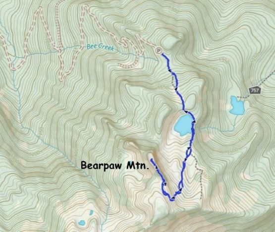
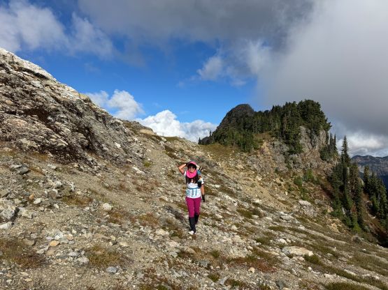
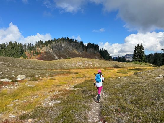
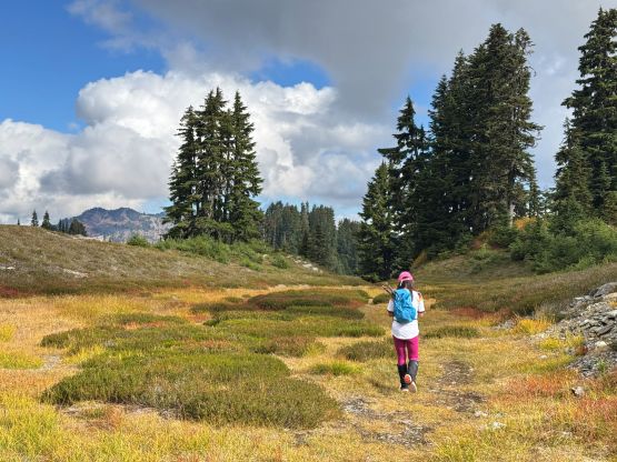
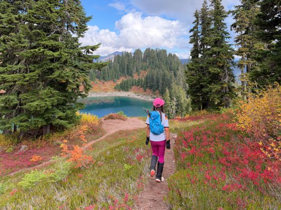
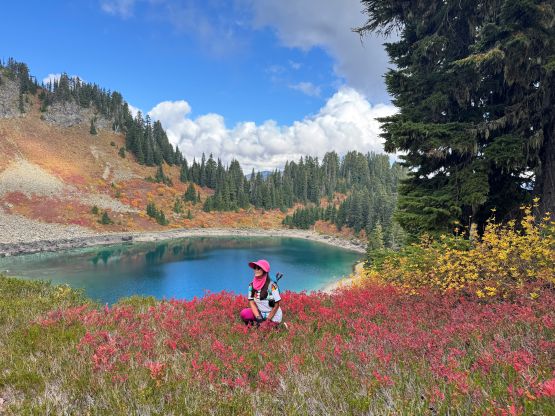
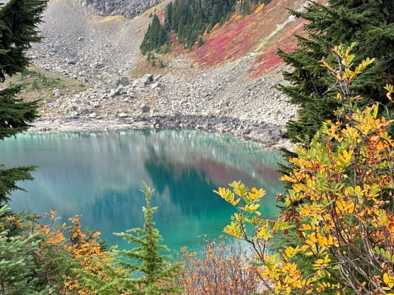
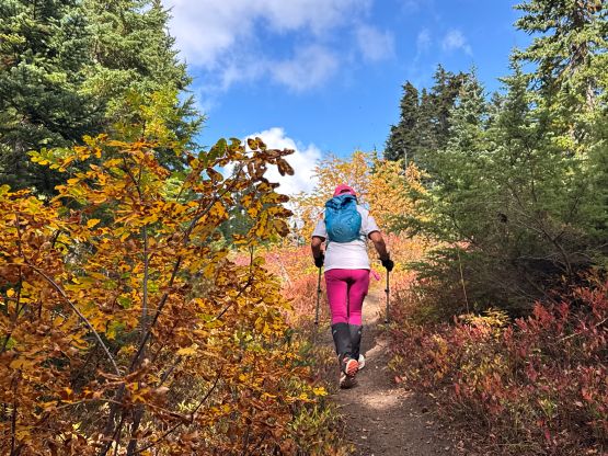
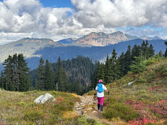
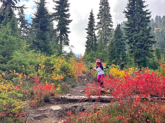
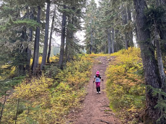
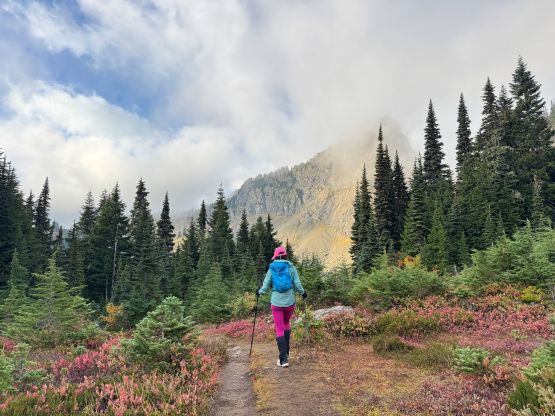
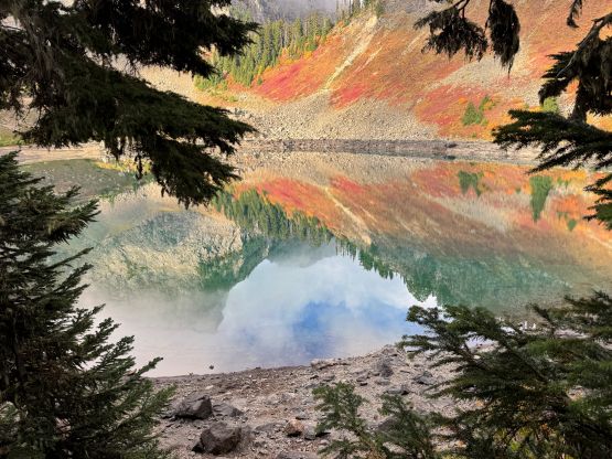
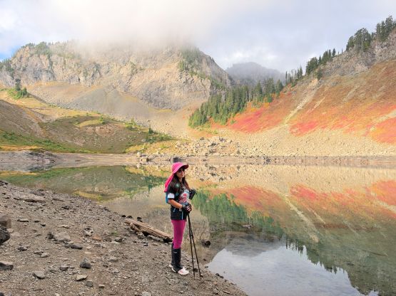
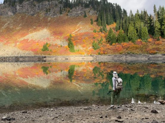
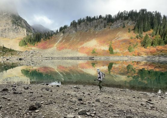
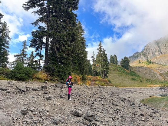
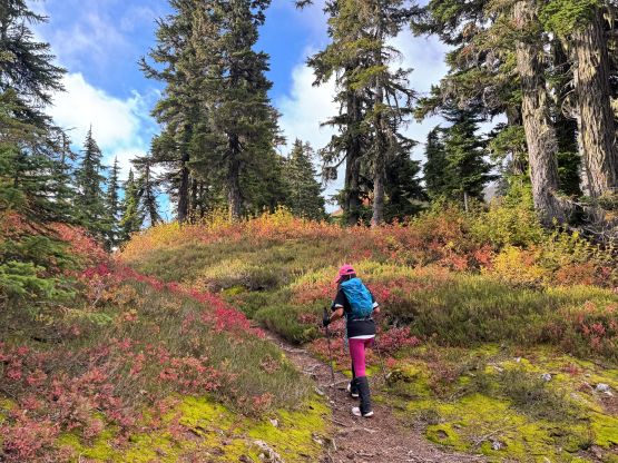
This is honestly one of the shortest approach and in less than 1 km we were already at Church Lake. The trail quality was excellent and the fall colours were peaking. There were fog but the clouds were dissipating. Even your mom, sisters and coworkers could have made here so I’m surprised by the lack of attention on the internet. The trail beyond Church Lake was unofficial and not super well defined but the bearing was straightforward. I had actually come prepared with a preloaded GPX track and to minimize the time spent in this outing I decided for us to take the short-cut onto the S. Ridge of Bearpaw Mountain. This short-cut was a little bit loose but did help minimizing elevation loss/regain.
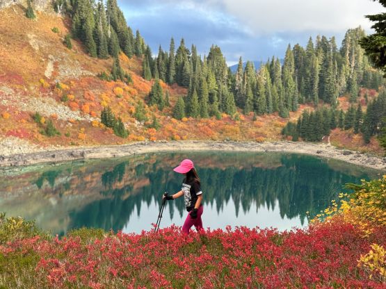
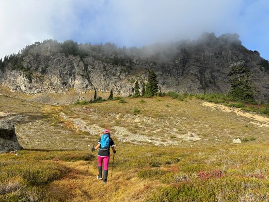
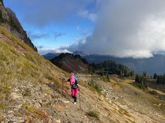
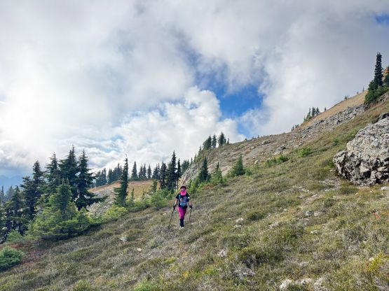
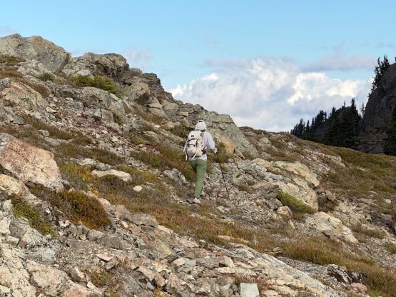
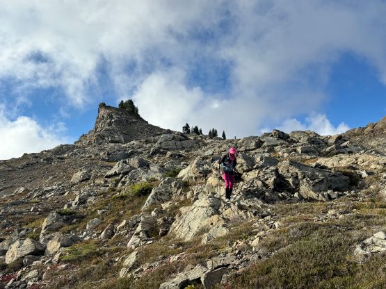
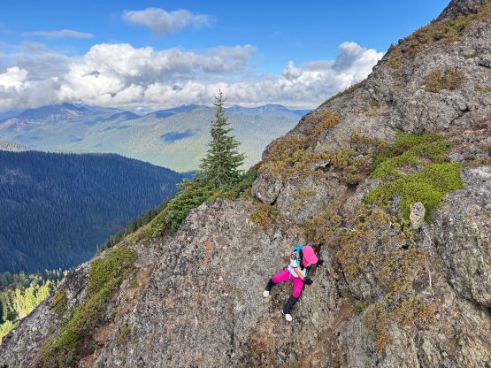
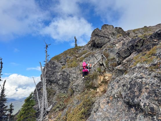
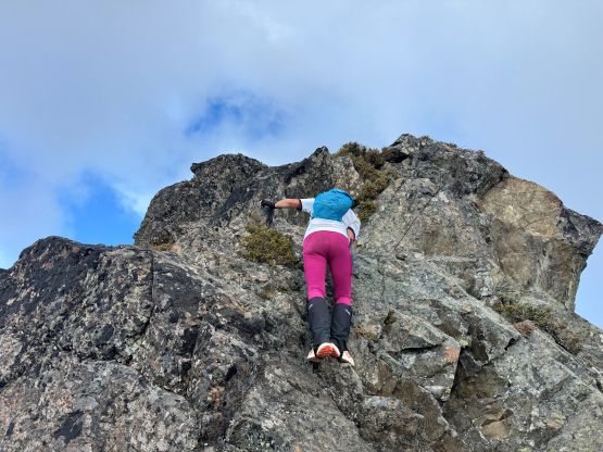
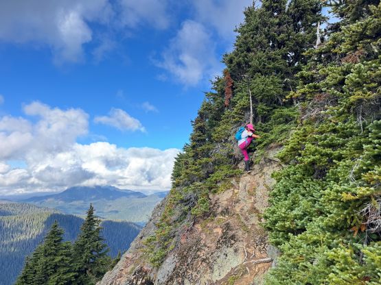
I wasn’t sure if Kate would be able to do the scramble and honestly I knew nothing besides it’s “class 3”. I had decided to do the route-finding in situ using my own judgement and experience. There’s a path for the lower section of the south ridge but not so much once the scrambling started. I was looking around to search for bypasses but the few steeper steps had to be climbed head-on with some moderate exposure. A few moves definitely required using our hands. Higher up we encountered some slabby terrain and eventually there came what seemed like a 4th class notch. The direct down-climb would be fine for me but not very possible for Kate, and the next immediate solution on the left (facing the summit) also involved several difficult moves. I ended up having to backtrack to find a bushy ledge/ramp system about 10 m down from the ridge crest and was able to keep the route within the realm of “class 3”. Kate had no problem following this route and we were soon standing on the true summit.
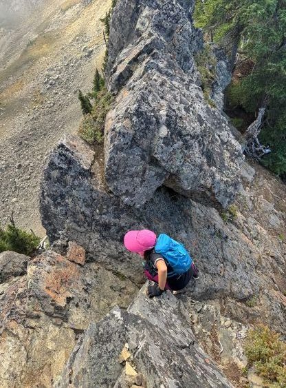
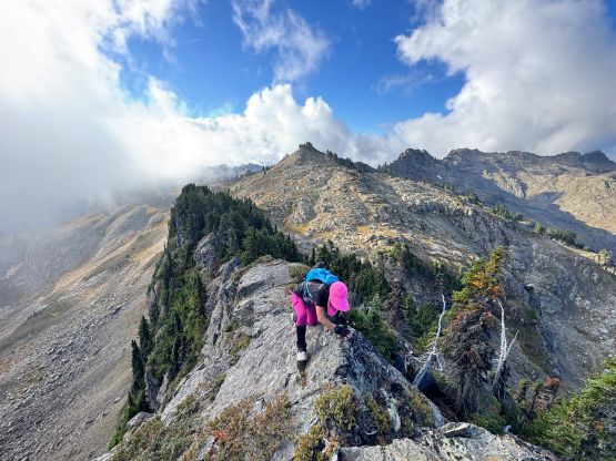
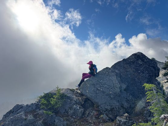
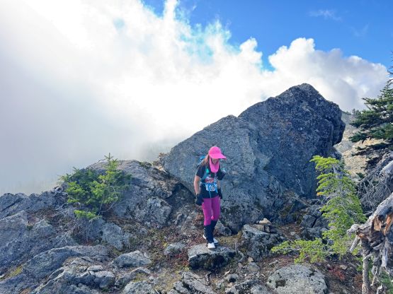
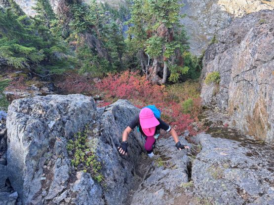
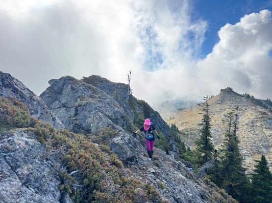
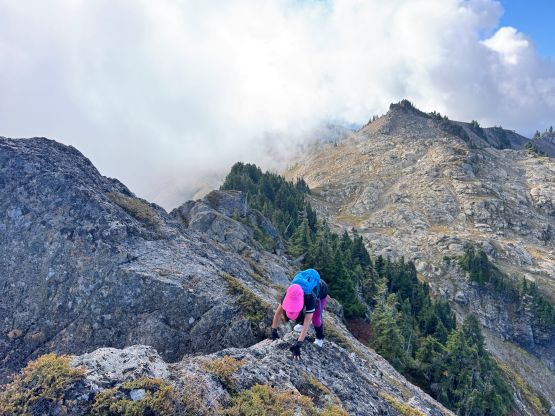
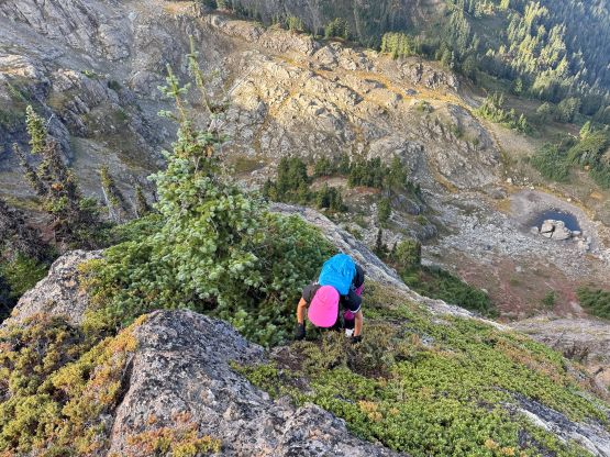
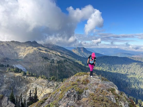
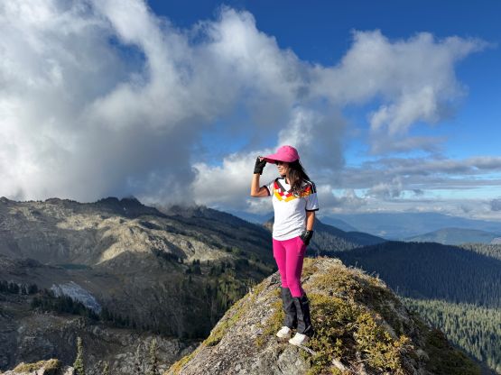
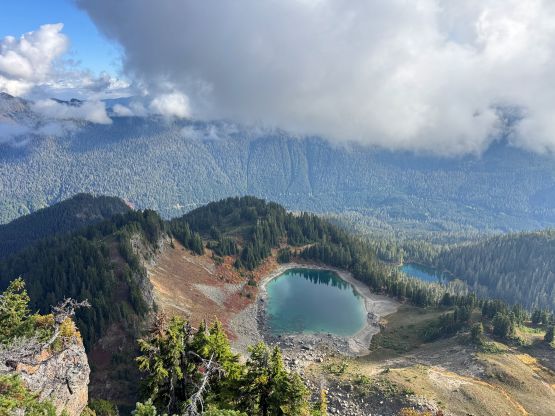
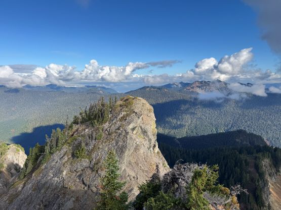
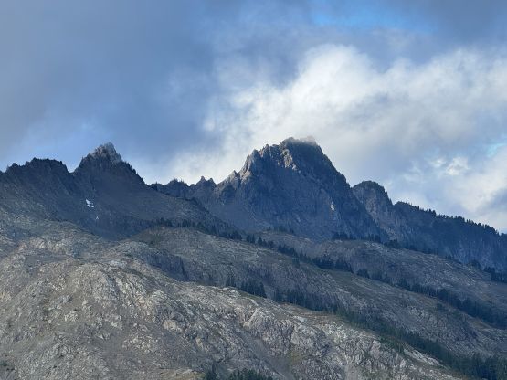
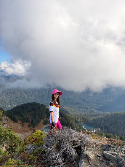
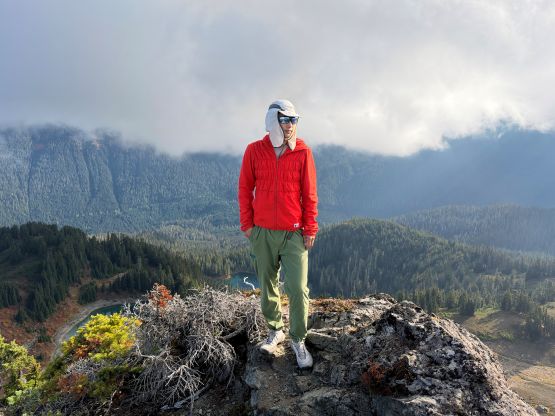
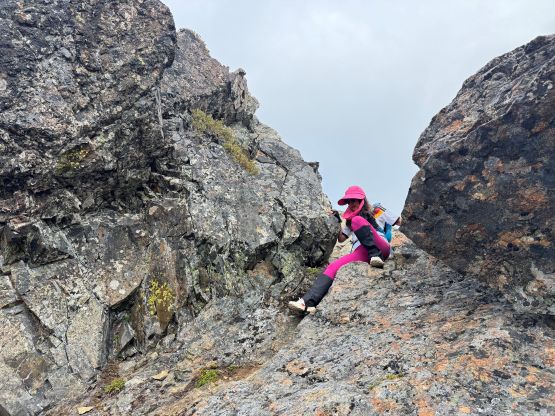
I thought the descent would take at least as long as the ascent so we didn’t stay too long on the summit. Kate was actually doing quite fine on the way back and we even managed to scramble directly across that exposed notch. There were a few holds not visible from above so the actual moves were probably only “class 3” after all. I also optimized a few sections lower down so we made fairly quick work back down the ridge. We also took that chossy short-cut lower down to save time, and Kate even led the jogging back to the trail-head. Our round trip time was 3 hours exactly. The drive back to White Rock was quite tiring but it’s a short drive after all. I ended up showing up at work with half an hour of spare even after having a proper lunch. I eventually worked till 10 pm and that was decently exhausting.