“Murdo Peak”
November 29, 2023
980m
Mission, BC
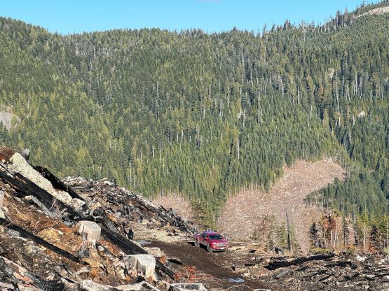
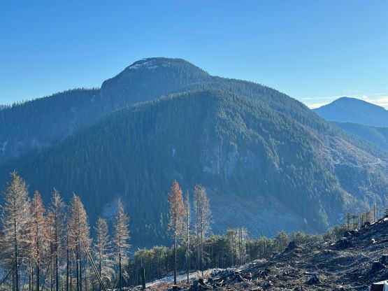
“Murdo Peak” is the unofficial name of a forested bump that overlooks Murdo Creek and the access is the same as the standard route for Mt. St. Benedict. This peak used to be entirely a “trash bag” but the upper eastern slopes had been logged all the way to the very summit in 2021. It is still a “trash bag” but the clear-cuts offer some nice views nowadays, so I on purposely saved it for a sunny day. The logging roads are not gated (what a surprise), and with a trusty 4×4, high clearance vehicle one can drive to within 50 vertical meters from the summit, making this more of a wheeling trip than hiking. That was alright as I had to practically hike from the end of the pavement on Sylvester Road when I did Mt. St. Benedict due to the presence of snow and ice on the logging roads, so I deserved a “mechanized ascent” of “Murdo Peak” after all. I picked this objective because I did not have a lot of time. I did not wake up until 9 am and still needed to be back to White Rock no later than 3 pm for work, so my options were limited.

I was tempted to be lazy in the morning but this was the last day of the prolonged stretch of good weather so I must bag another summit. The drive out of White Rock was without event despite the thick fog that still lingered on some stretches of the roads. I made to Mission in about an hour. I decided to start the track log from the beginning of the FSR since this essentially was a wheeling trip. The road was in an excellent shape all the way to the broad pass between “Murdo Peak” and “North Benedict”, about 500 m past Mt. St. Benedict’s trail-head. It was still steep enough to warrant the use of 4×4 but there wasn’t any notable rough section. The road was however, seriously deactivated beyond that broad pass such that I encountered numerous ditches that scrapped the bottom of my truck. I nevertheless drove to the end of the road as I considered myself as decently experienced in this off-roading game.
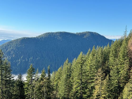


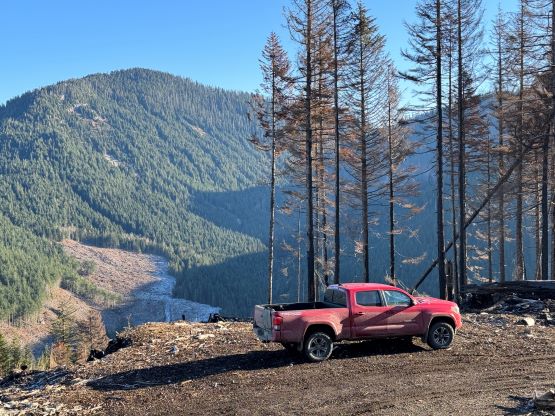
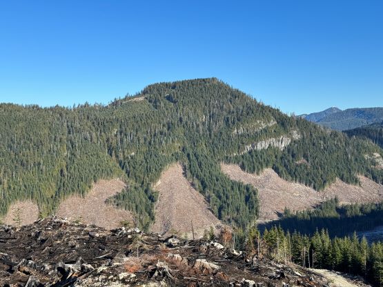
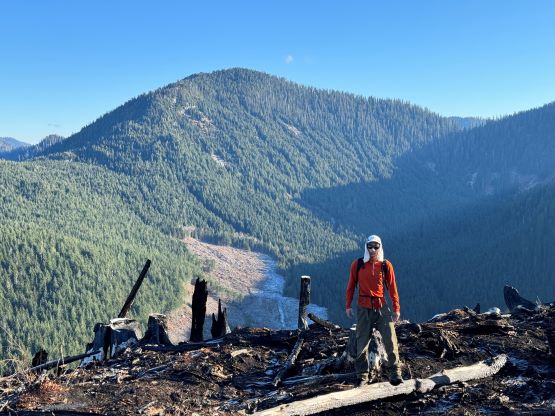
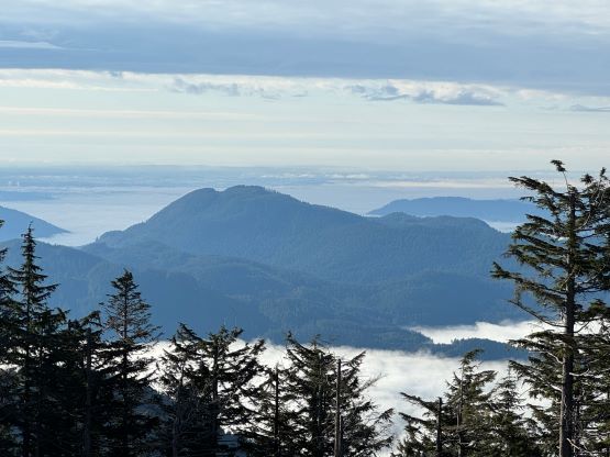
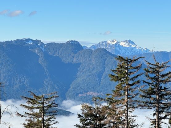
According to Alan Blair’s trip report there are two summits with equal height, but I would say the south summit that labelled on Gaia map definitely seems to be higher. The north summit however, offers the better views so I still recommend checking out both. I decided to do the north summit first. The terrain was as simple as it looked such that I just made a straight beeline through the burnt cut-block, and the north summit was attained in less than 10 minutes. I walked farther north down the ridge for some better views of Mt. Judge Howay, before turning my attention to the south summit. To reach the south summit required some bushwhacking with minimal reward. The south summit was still partially forested but as a peak-bagger I must attain both to be sure.


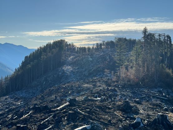


Not bothering to traverse the ridge back to the north summit I decided to make a direct descent down to the uppermost FSR. This meant I needed to descend the north-facing aspect that was still somewhat slippery thank to some snow and ice. As a result I took a massive spill for not paying attention, and got two cuts on my left hand with one being fairly deep. I did not have a First Aid kit so there’s nothing I could do other than rushing back to Mission to get it sorted out. I firstly went to the Emergency but the waiting line was ridiculous, so I walked to the nearby Farmacy. The receptionist in the Farmacy thought that would wasn’t that bad, so I did some treatments myself and went home. Due to the delay I did not earn myself enough time for a nap but I still got back in time for work.