Hall Peak
June 1, 2026
1672m
Mountain Loop Highway, WA
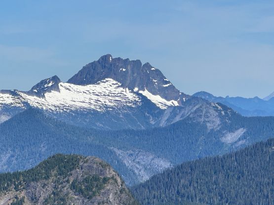
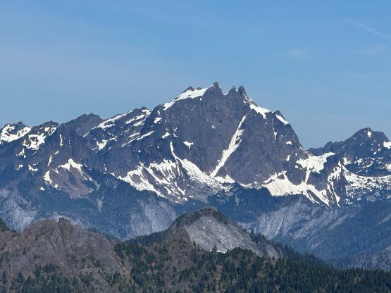
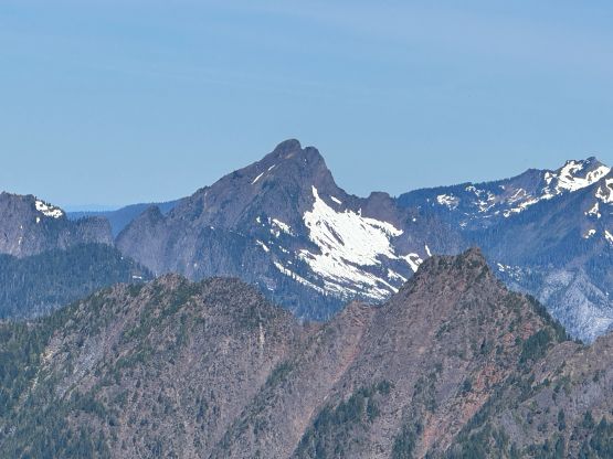
Hall Peak boasts over 300 m prominence above the saddle with Big Four Mtn. and is just about as rugged and “inaccessible” as the taller neighbour, and sees perhaps no more than a few ascents in several years. Things have changed in the past year or so, as the nowadays “standard route” had seen some developments that it’s no longer an insane thrash in the vertical jungle. The route developer does not want the masses to know much about the “news” so I wouldn’t be passing on much of the “beta” for legality reasons, but I bet the words would be out with or without my trip report, as those who know it, know it. Elise and I were originally thinking about Merchant Peak but I changed the objective to Hall Peak as it’s shorter and closer to home. This would be on the 2nd day of an intense 3-day peak-bagging itinerary and I didn’t want to push too hard. I also needed to do at least 2 hours of work in White Rock afterwards and that’s why we decided to go south, as this direction involved the least amount of traffic problems.
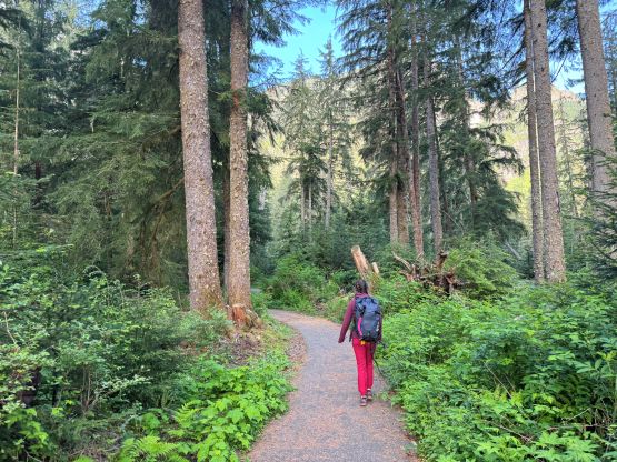
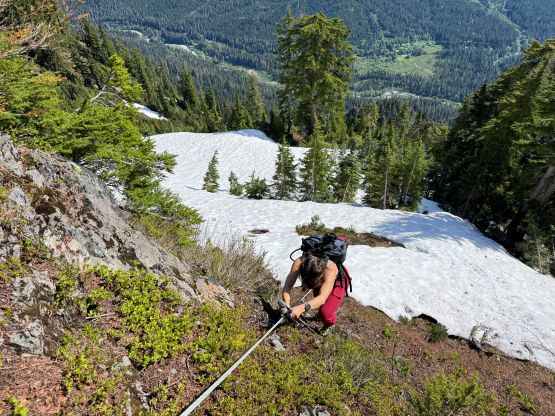
To make sure I could get back in time for work we decided to leave at 4 AM and that would put us at the Big Four Ice Caves trail-head 3 hours later. I did have to stop for gas and breakfast and that ate some time. In terms of the gears we opted to wear trail runners for as much as possible but carried mountaineering boots, ice axe and crampons even though I wasn’t anticipating to use them. We did eventually put the boots on as the snow was quite steep at places, but I also think the trail runners with aluminum crampons could make do. It was nice to have dry feet anyway. This was an insanely dry year for Washington so the snow gears are probably definitely needed on a more typical year.

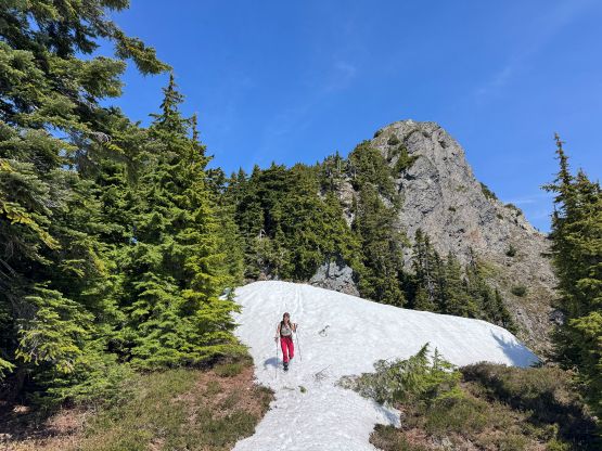
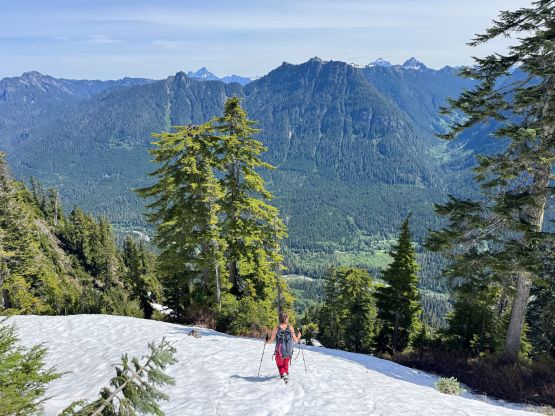
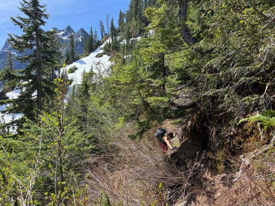
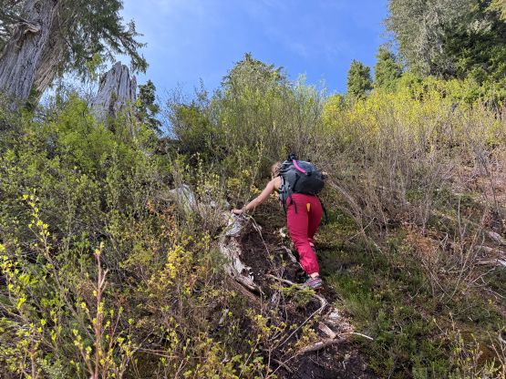
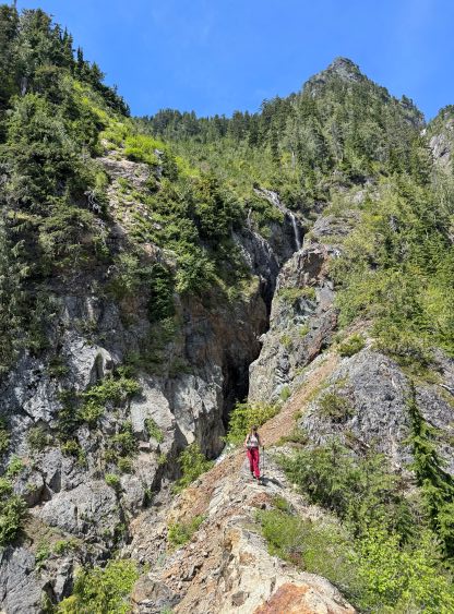
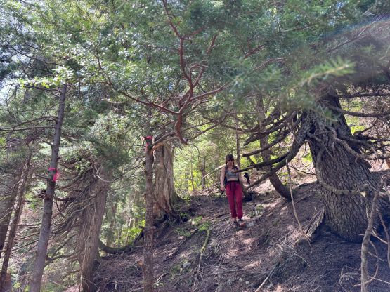
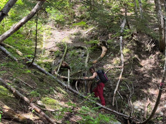
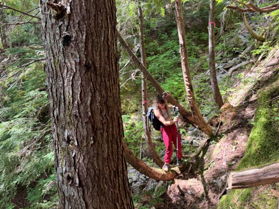
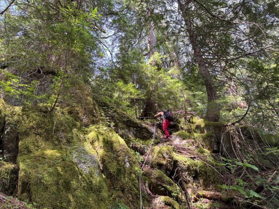
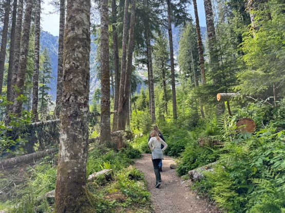
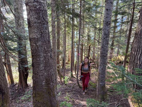
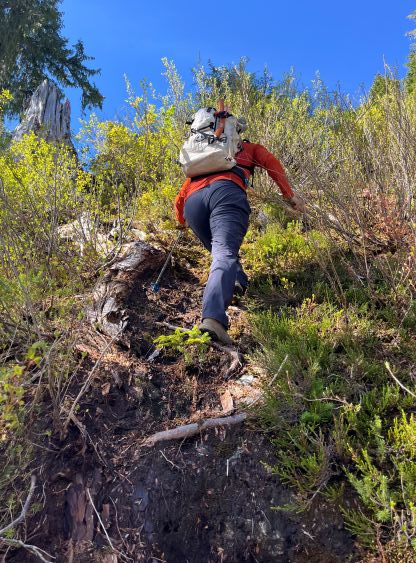
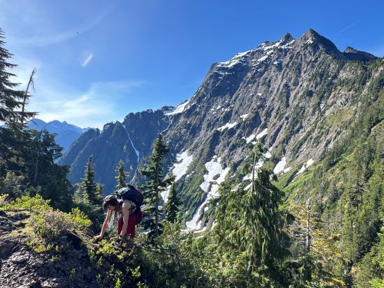
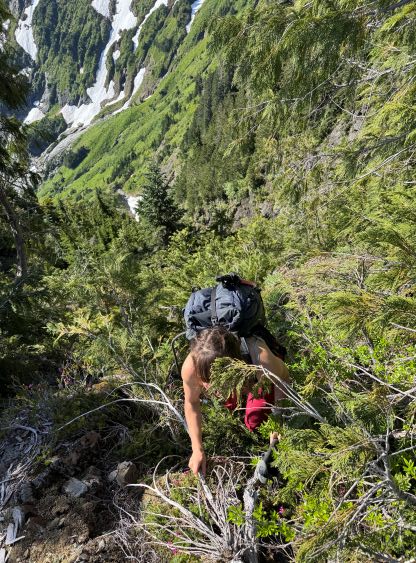
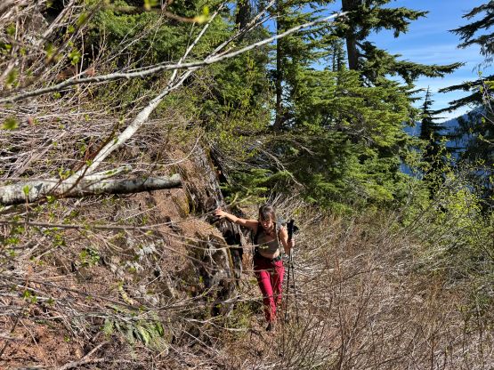
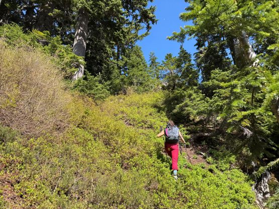
There’s one gigantic downed tree that required some yoga moves to maneuver over or duck underneath and that’s probably why there was a sign of “trail closed”. There was one alternative starting point but Google didn’t direct us there. We were fine with ducking under that log but I had to remove my pack to make it more comfortable. We left the trail roughly following Andy Boo’s winter GPX track, as suggested by our “beta source”. The result was fair amount of bushwhacking before finding the correct path. Those reading this trip report should follow my descent GPX track, which was slightly north of Andy’s starting point. Generally speaking the lower part of the route was not as well-defined as I was hoping for but as soon as the grade really picked up the going had become indefinitely easier. Elise charged up at a blistering pace all the way to the 970-m shoulder and I couldn’t even keep up. The day was becoming insanely warm so we stripped some layers off and took the first energy break there.

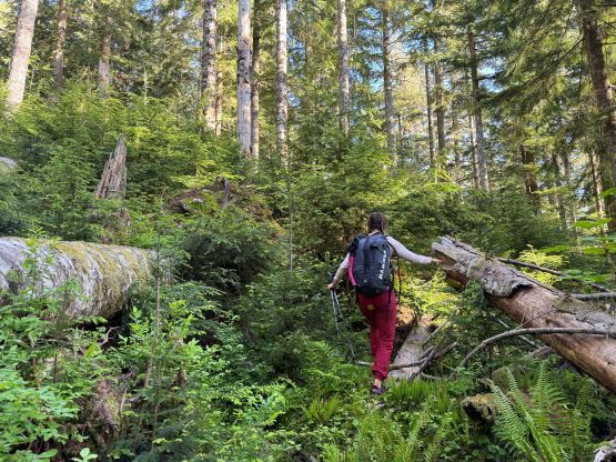
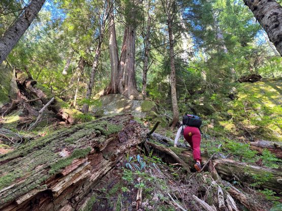
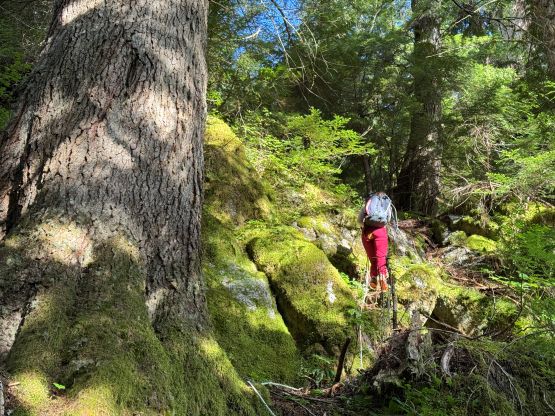
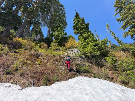
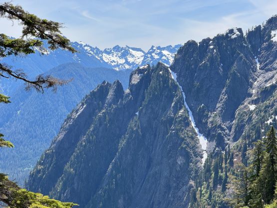
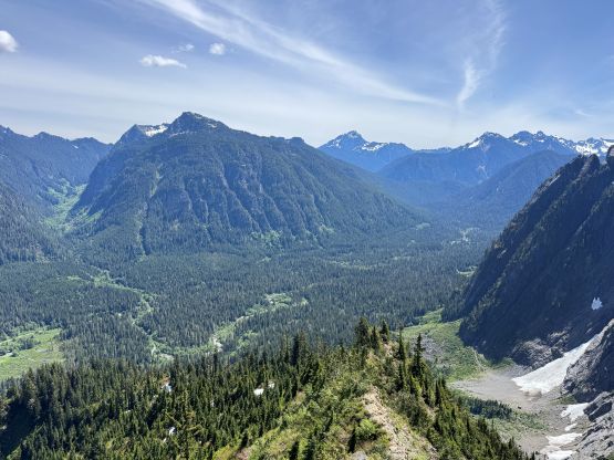
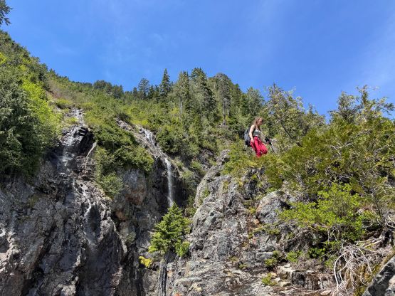
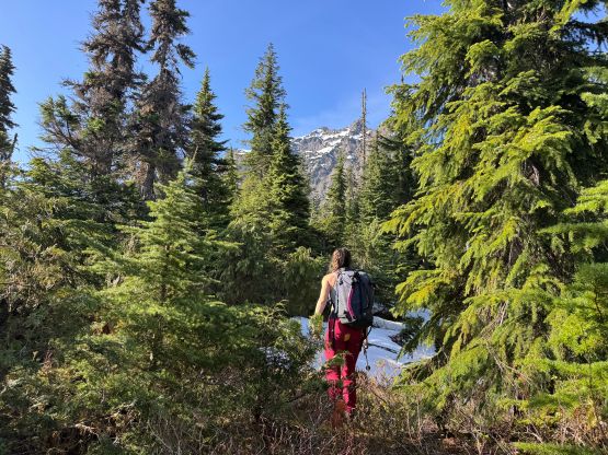
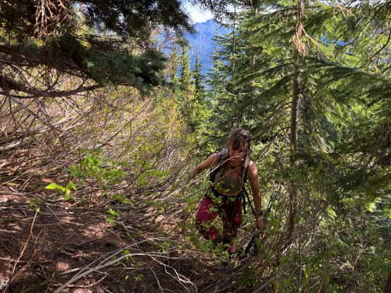
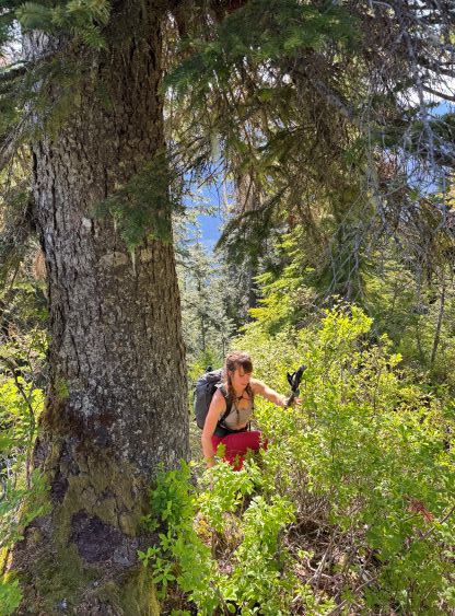
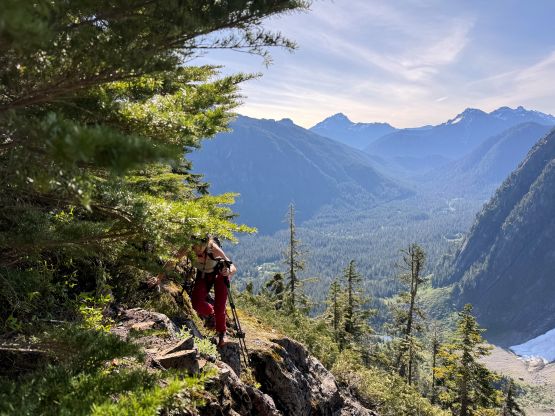
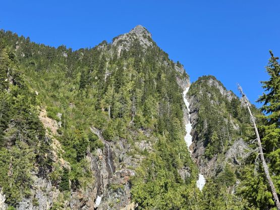
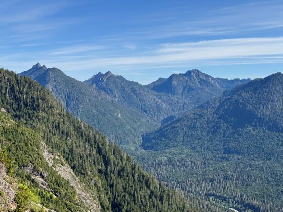
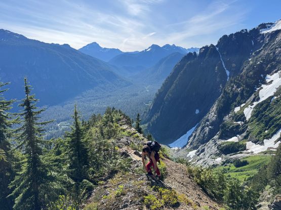
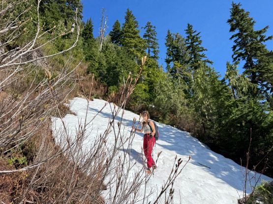
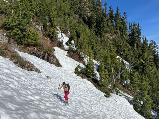
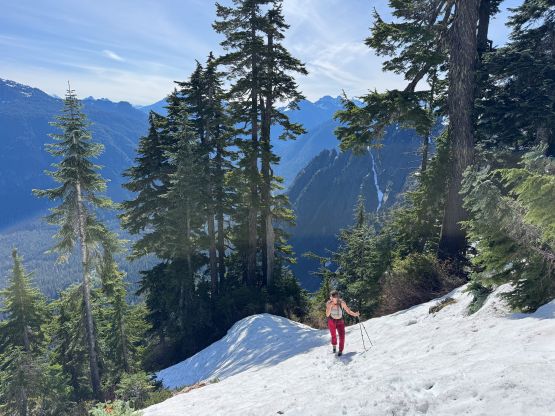
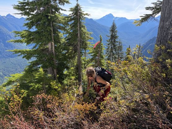
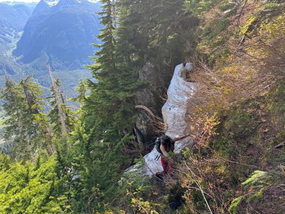
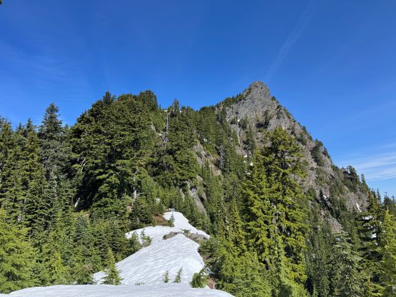
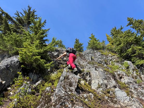
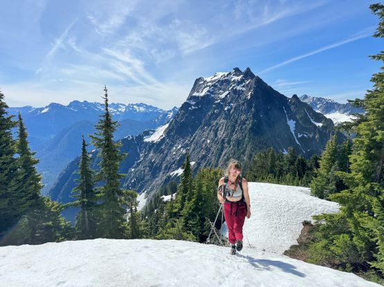
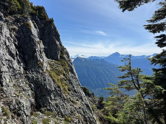
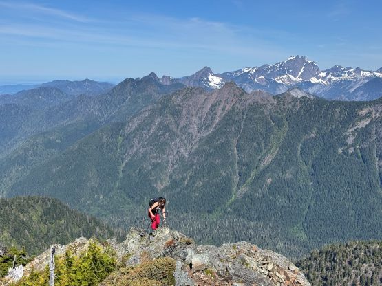
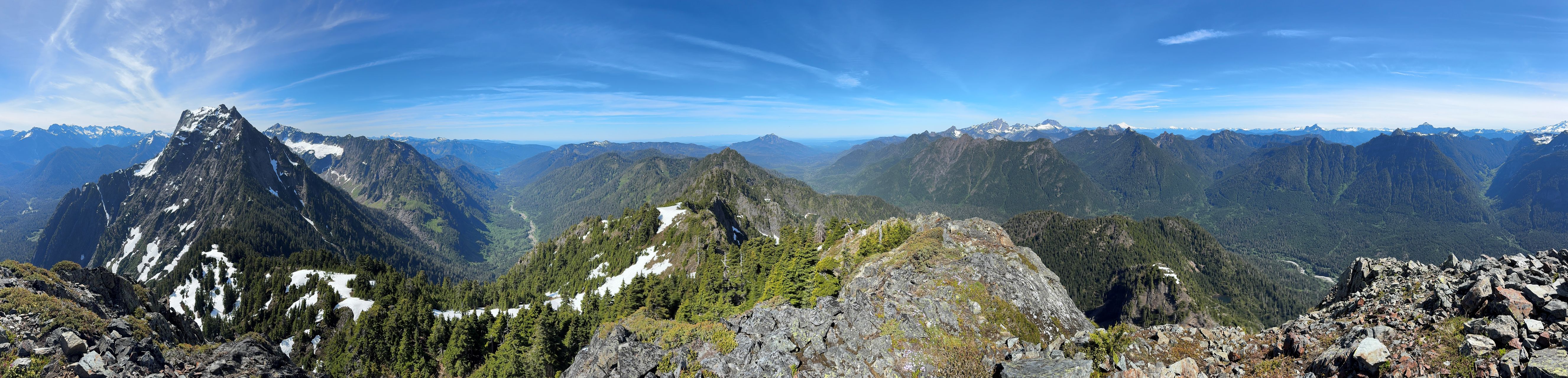
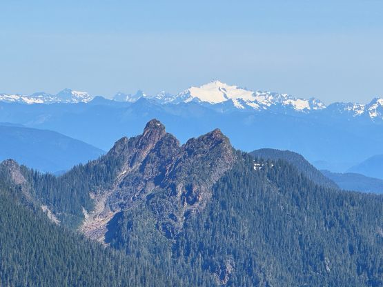
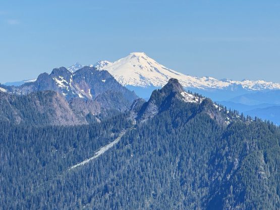
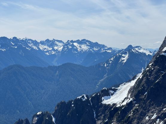
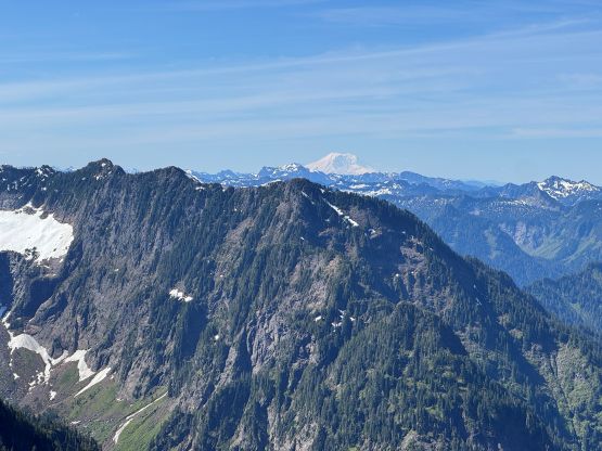
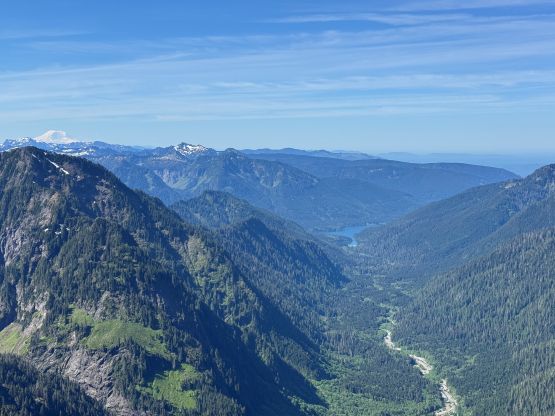
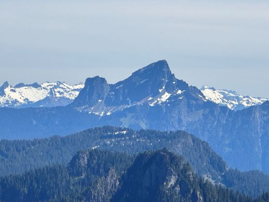
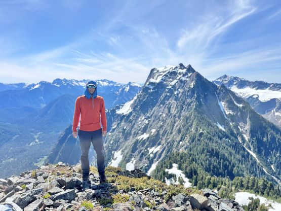
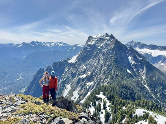
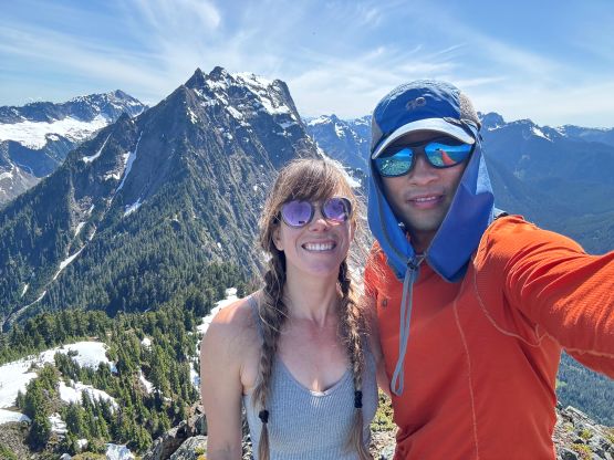
The next section was traversing a broad and bushy ridge and we encountered a few larger patches of snow. Thankfully the route always reappeared on the far side of the snow patches. The bushes would be insanely difficult and I could see why there weren’t many ascents in the previous years. This would be a very heinous objective, but it’s not the case anymore. The best part of the route was that narrow ridge section where we encountered some exposure but also open views. Above that stretch we followed the path through more steep forest with several class 2/3 bluffs, followed by a hard traverse due climber’s left. This part of the route deviates from Andy Boo’s GPX track but I put my trust on the new beta. A stream/waterfall crossing offered the only (but reliable) water source so we took the next break there swapping the trail runners for the mountaineering boots. It appeared that the grunt up the north facing slopes onto the SE Ridge would be done mostly on snow, so the trail runners wouldn’t be ideal. We were correct. We never encountered anything overly steep but wearing the boots meant we didn’t have to take the ice axe nor the crampons out. The ascent of the SE Ridge to the summit was rather trivial as we were back on mostly dry terrain, and the views were much better than expected. This might be a terribly brushy and bluffy peak but the summit actually offers 360-degree views. We also left a Jake’s memorial register and merged the existing register in, which was in a terrible shape.


It had taken us exactly 3 hours for the ascent so I texted back to White Rock saying I could definitely get back before 4 pm for work (which I did). We took a long break soaking in the views, but eventually it was time to head down. Descending the snow slopes was fast and furious but a few sections required significant care. The going was never too bad once swapping the footwear back to the trail runners but I had to consult with the GPS screen at least 20 times to make sure we stayed on course. I’m too young for navigating without the GPX in the forest, after all. Lower down we found the slightly better way to avoid most of the bushwhacking, but the route was still not super well defined. Our round trip time was 5 hours 40 minutes. Elise did most of the driving back home and I managed to sleep for at least an hour, which gave me just enough energy to pull through the working hours. The weather was still excellent on the following day, so I made a spontaneous decision to head out again.