“Geoffrey Peak”
June 7, 2026
2359m
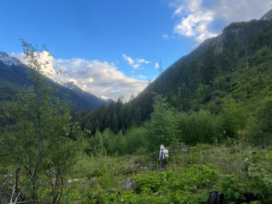
Lillooet / Duffey Lake Road, BC
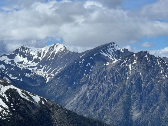
“Geoffrey Peak” is the unofficial name of the peak that boasts over 400 m prominence to the east of “Melvin Peak”. This peak might not seem tall by the eastern Cayoosh Range standard but boasts over 400 m prominence and occupies a rather large area next to Downton Creek. The access is not from Downton Creek though, as the spur roads on the north flanks are long gone with bridges pulled and road beds chocked with alders. About 10 years ago Simon explored the direct attack via the south ridge/slopes from Duffey Lake Road. The terrain sounded unpleasant but the route “went”, and ever since that at least a few parties had followed. There’s no obvious solution to this rarely-ascended objective so I largely agreed with Simon’s route being the easiest way of doing it, but I was in no hurry as the access (directly from Highway 99) will never be gone. I reserved it for a day when areas closer to the coast are soaked in as this peak locates in the rainshadow zone and likely will see some sunshine no matter what.
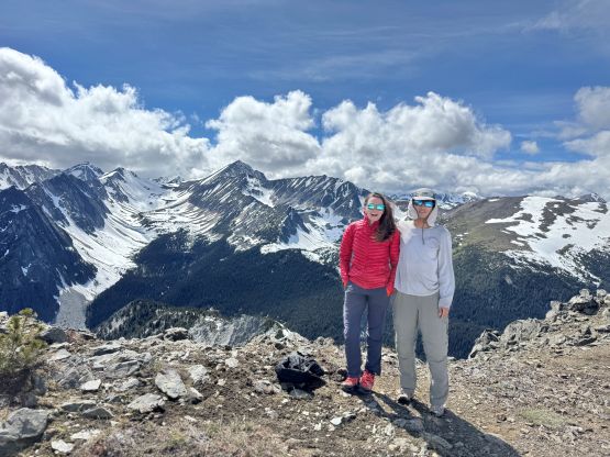
Holly was looking for a day out after recovering from some injuries but given the questionable weather forecasts I could only come up with a few ideas, and “Geoffrey Peak” was one of them. I wasn’t 100% confidence if she could make it given the tedious terrain but she doesn’t care that much about the summit and wouldn’t mind waiting for me to tag the peak alone (if needed), so why not give it a try. It’d be more interesting than some of the other suggestions anyway. The forecast suggested a clearing trend throughout the day so we decided to leave Vancouver at 7 AM in order to be in the alpine in “late afternoon”. This could also help us avoiding the horrendous traffics coming home.
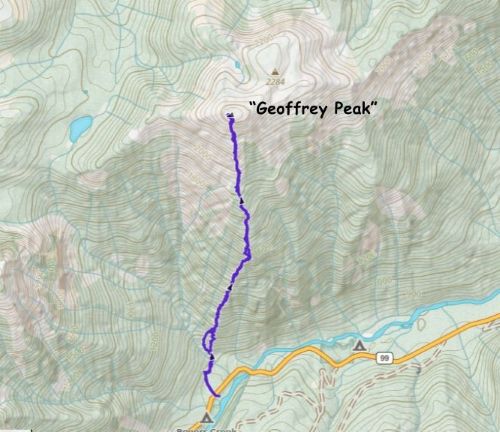
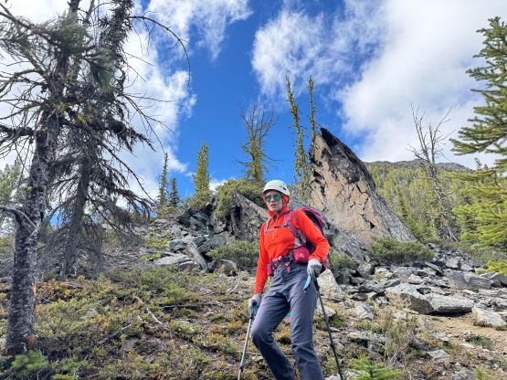
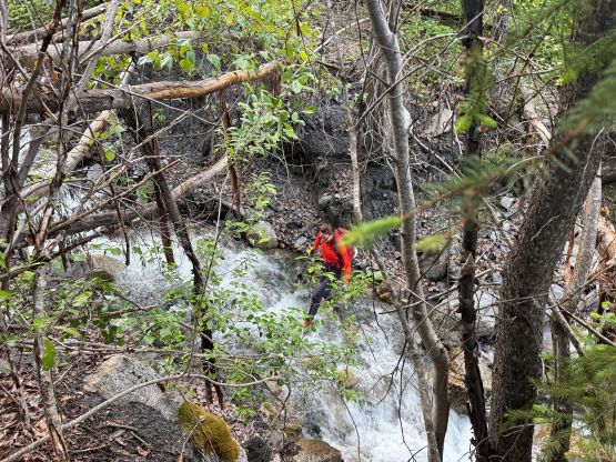
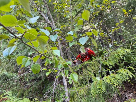
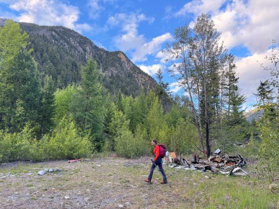
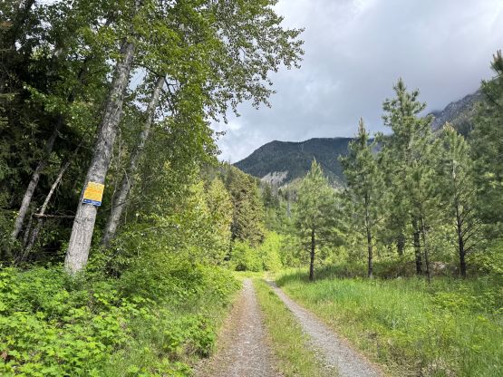
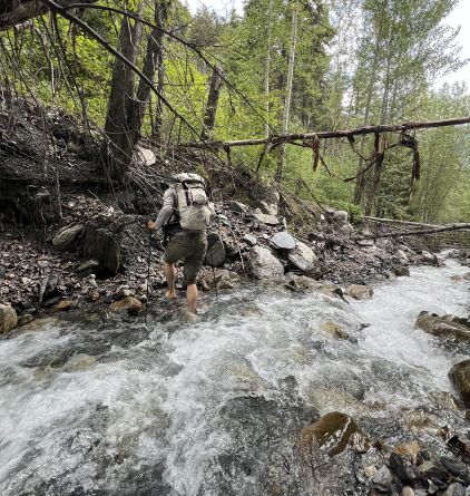
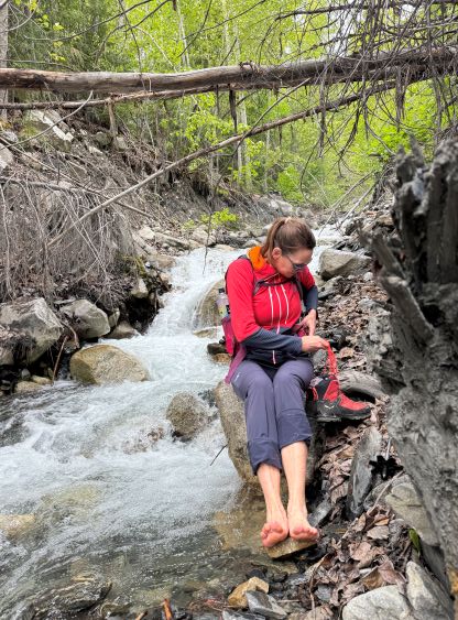
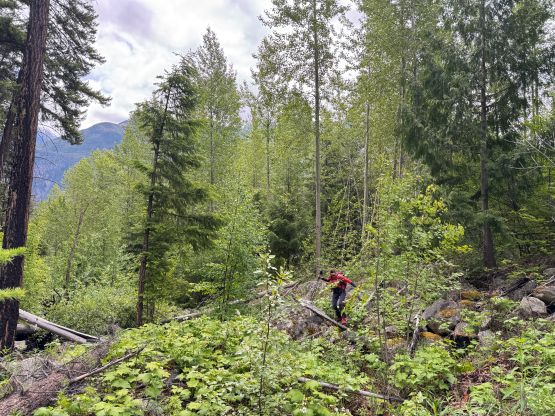
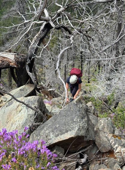
I bluntly assumed that the parking would be right on the highway before the bridge crossing Cayoosh Creek. This wasn’t the case. We ended up parking at Rogers Creek Recreation Site and walked towards the bridge, but then Holly casually mentioned that she had downloaded a GPX track somewhere (which I was not aware of) and the track started from the short FSR on the opposite side of the Rec Site. Reading Simon’s trip report at home (after the trip) I realized that’s how he started the trip as well. Oh well. We then walked back to the starting point and plodded to the end of that short FSR, which featured one completely burnt down vehicle with some bed sheet and ski boots. I thought this must be from a murder scene but it was actually a homeless camp burnt by the rangers, as we discovered later in the day upon returning. There was some bushwhacking to thrash to the creek crossing that’s not shown well on the maps. We could have hopped across but didn’t want to risk jeopardizing the trip before it even started, so I decided for us to properly take the shoes/boots off and wade across. The wading was only shin deep and quite straightforward. In terms of the footwear I opted to wear trail runners for the entire day after seeing how dry the slopes were from the drive-in, whereas Holly decided to wear her boots as usual. We both carried microspikes for weight training.
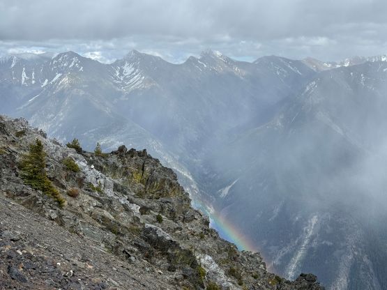
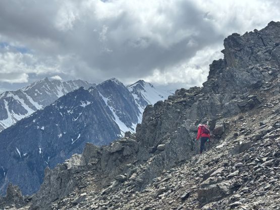
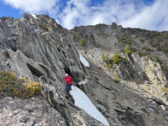
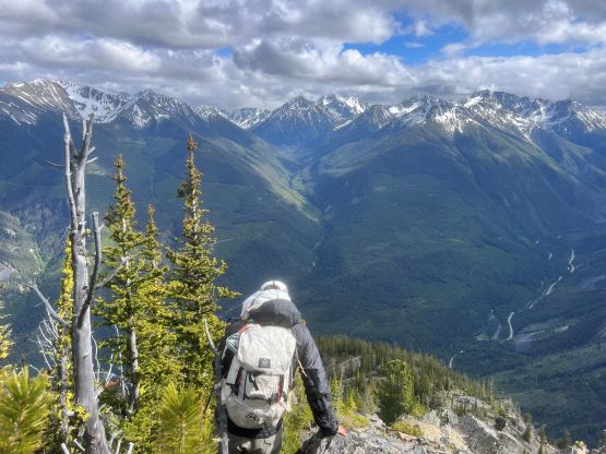
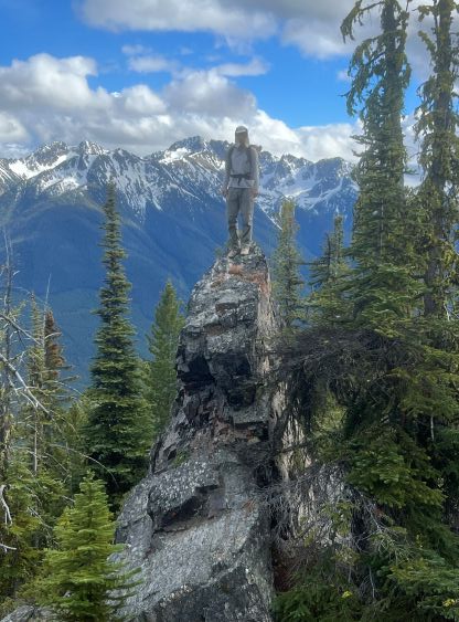
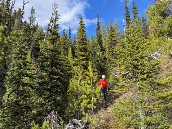
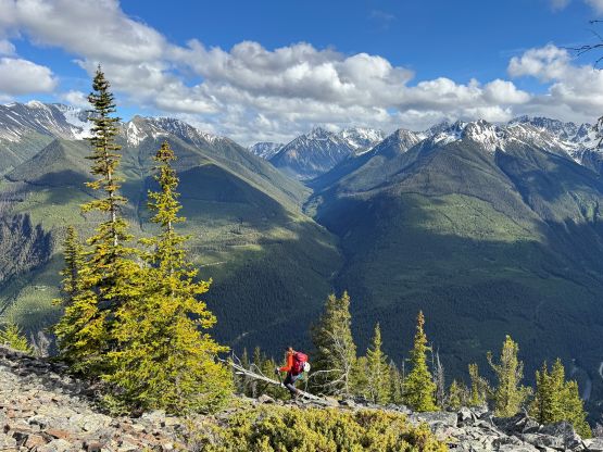
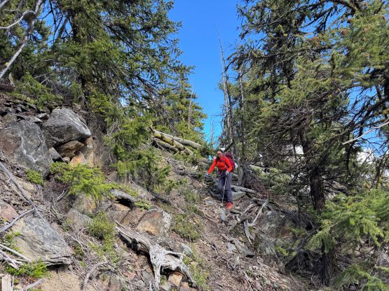
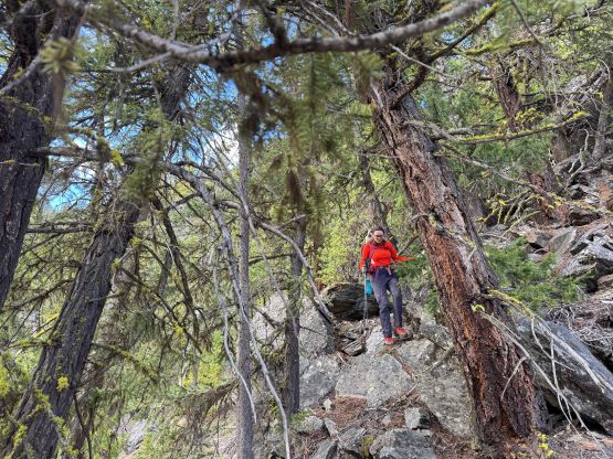
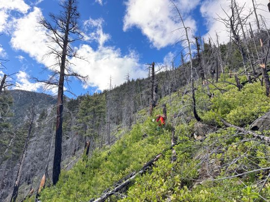
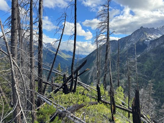
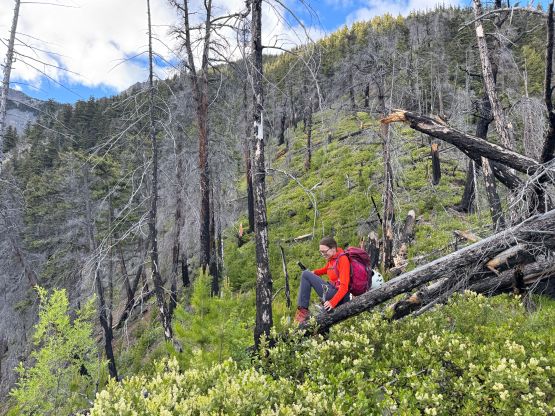
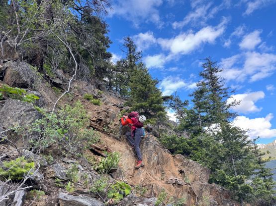
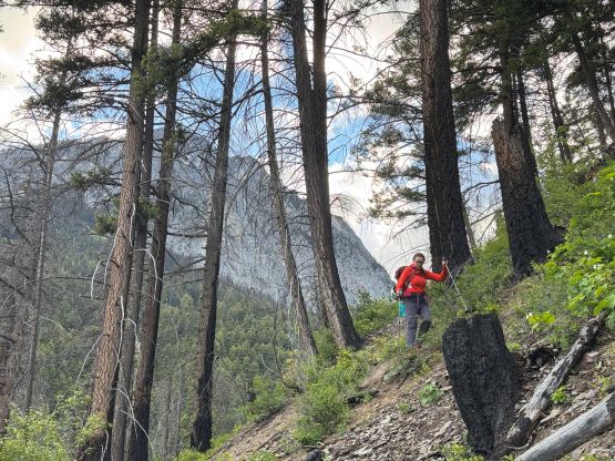
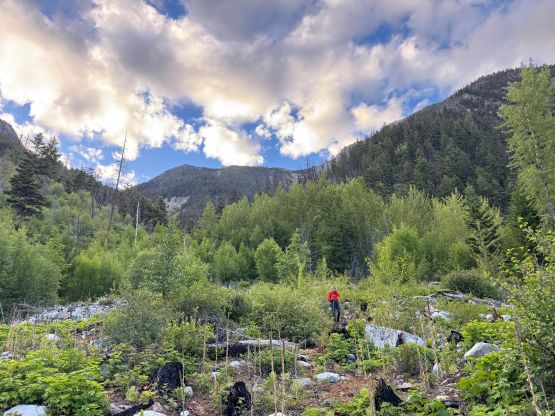
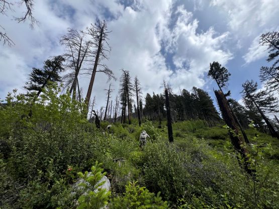
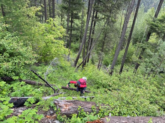
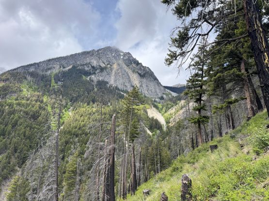
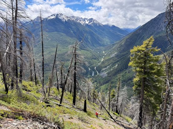
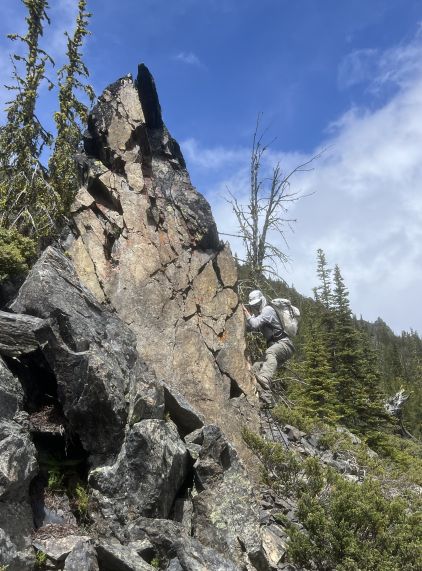
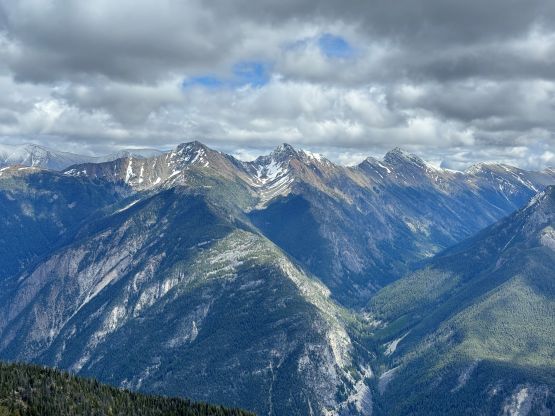
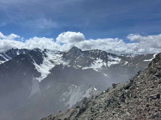
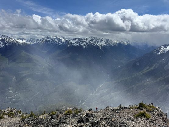
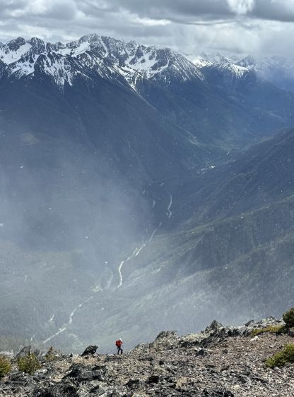
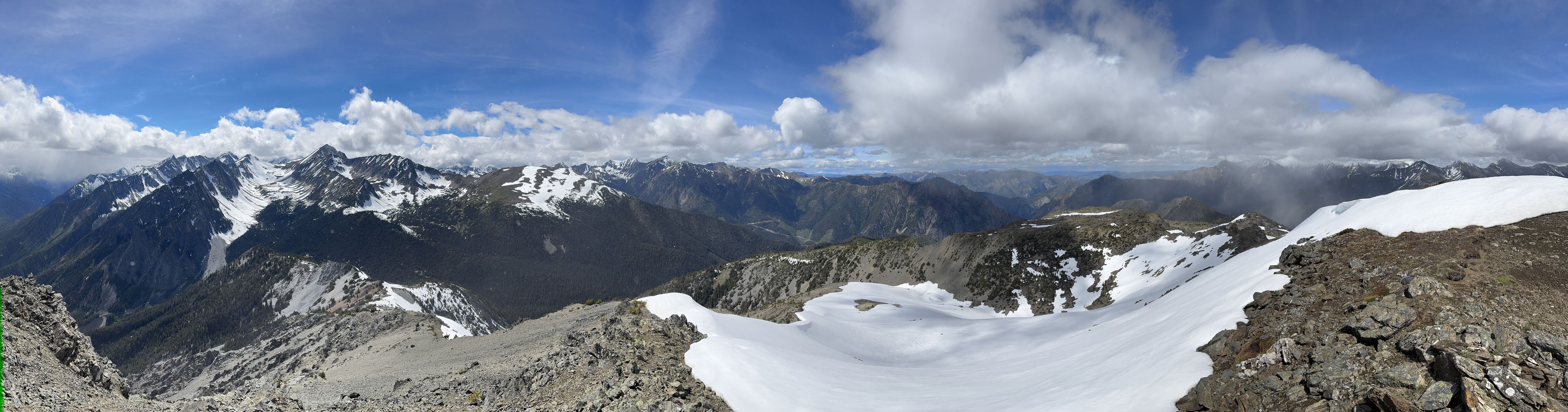
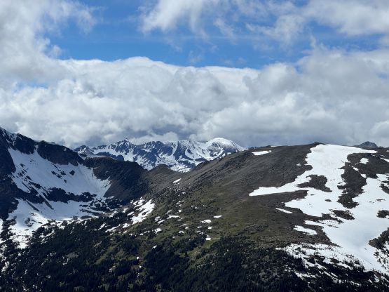
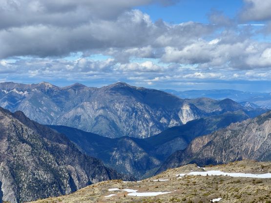
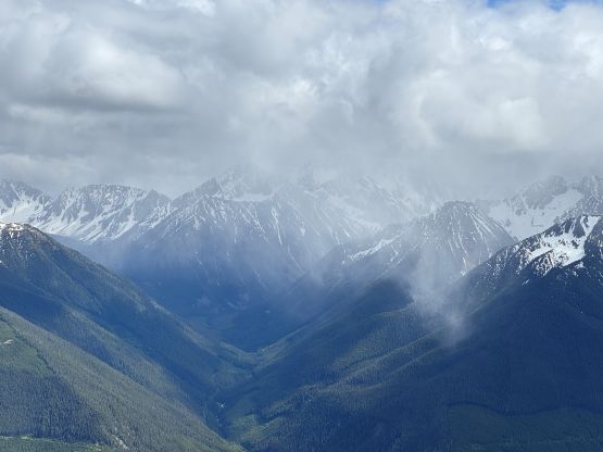
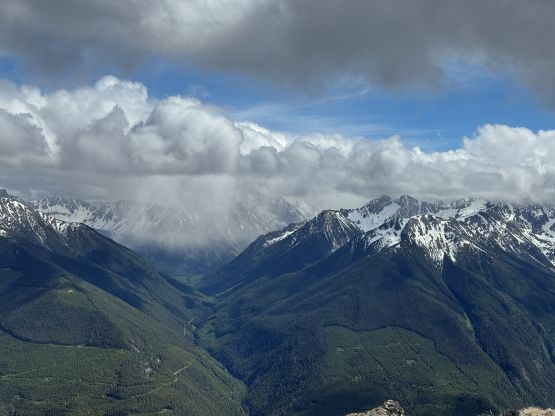
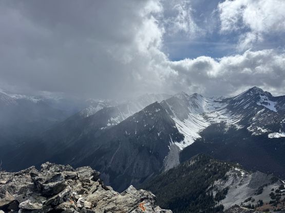
The bushwhacking was still quite annoying for a short while after the creek crossing but we quickly made our way up into the burnt forest. The pick-up sticks situation was not as bad as I thought, and the thrashing was mostly non-existing afterwards. The going was painfully slow though, thank to the insanely steep grade and the insecure footings. We did discover a bunch of game trails on the lower flanks of the south rib/ridge of “Geoffrey Peak” and utilized them for at least 300 vertical meters of elevation gain until the first scrambling section. The going was never worse than “class 2” with careful route-finding, but the terrain was either choss or compact type of dirt. Again, given my Rockies background I didn’t find it to be challenging but Holly had to be uber cautious. The grade of the terrain eventually eased at 1650 m elevation and we mostly had an easy stroll to treeline where we took the next long break. The weather was a mix of sun and clouds as forecasted, but we got hit by at least two snow squalls. Between the squalls we had mostly sunny skies and we could see that the clouds were lifting overall.
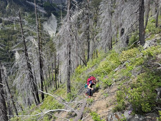
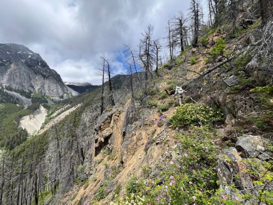
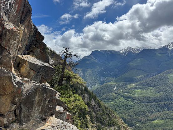
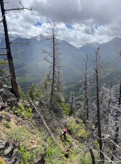
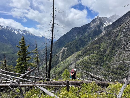
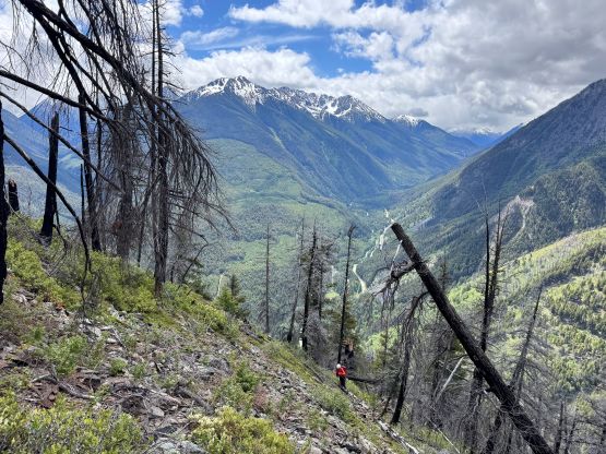
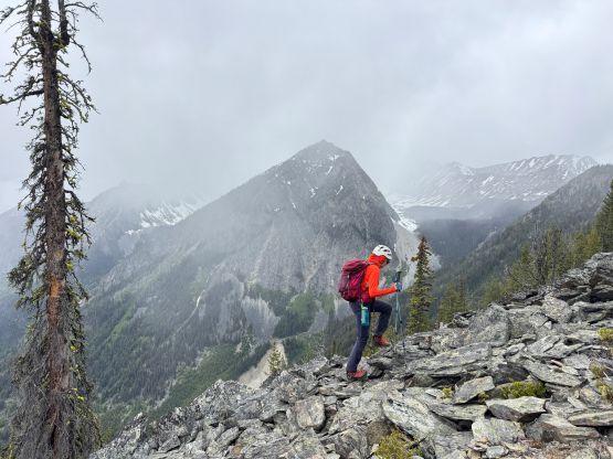
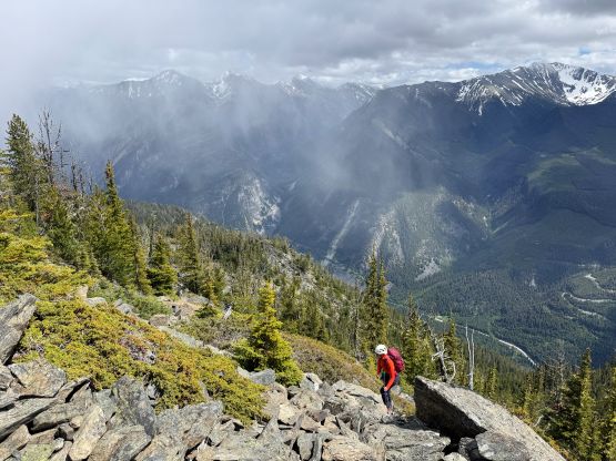
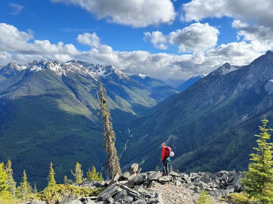
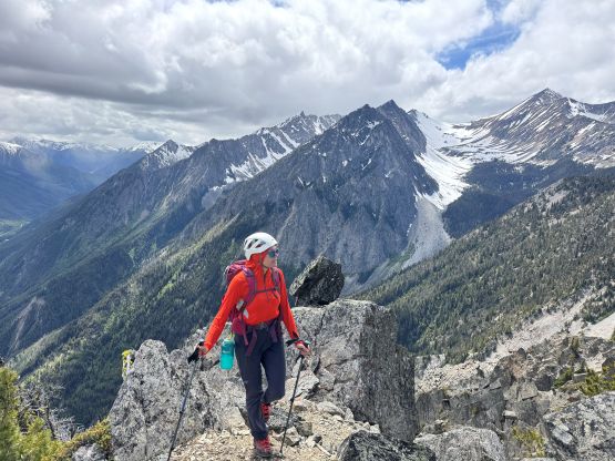
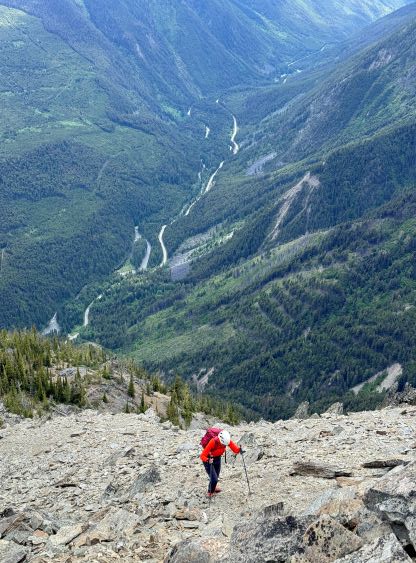
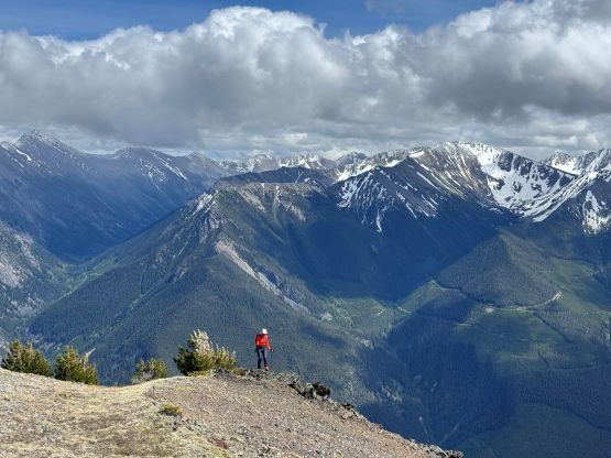
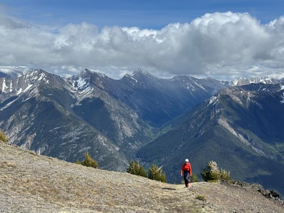
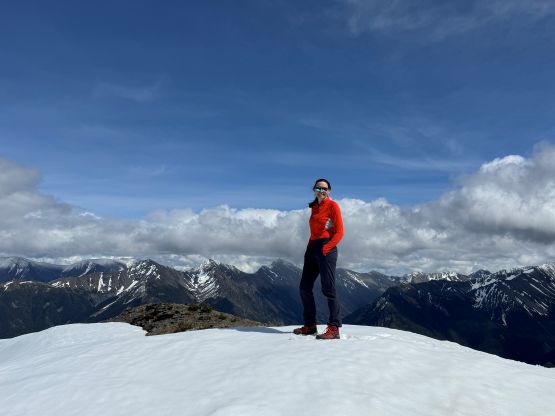
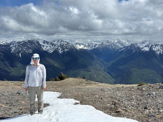
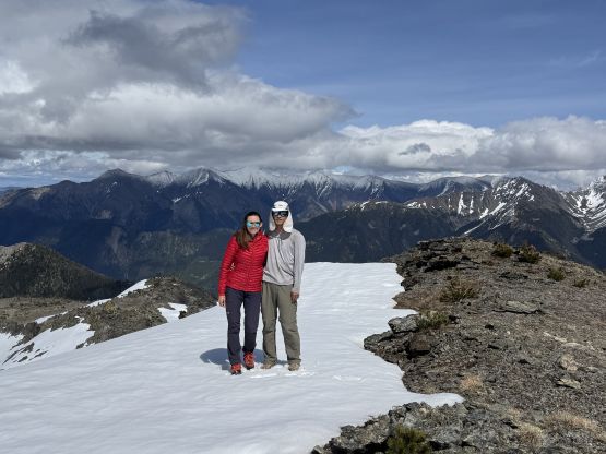
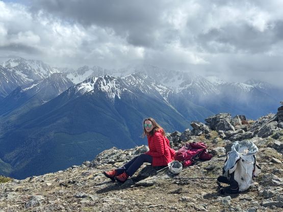
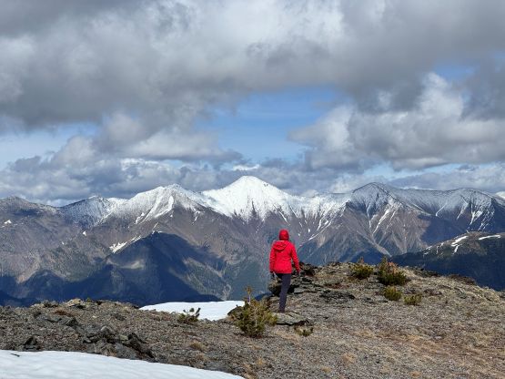
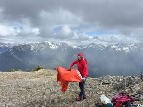
There was still 400 m elevation gain left and Holly wasn’t sure if she could make it, but I encouraged her to push further, and the weather did cooperate. The final 400 m of scrambling took us 1.5 hours as Holly predicted, as again the terrain was quite loose. There was more scrambling on this upper ridge than I thought, but on the other hand the steep grade offered nice views looking back down into the valley. We eventually got to the summit 5 hours after starting the hike which was again, amazingly predicted correctly by Holly. We lingered up on the summit for almost another hour since the weather was improving, before committing to the long descent.
I thought about following Holly from behind since then I wouldn’t be pulling too far ahead, but then it would still be better for me to do the route-finding ahead, so I just had to make sure to not go too far ahead. I think the strategy worked out nicely. The terrain was not very pleasant so I appreciated taking a few long breaks as well. We eventually got back to the vehicle in over 9.5 hours round trip. Just as I was approaching the car I got asked by a ranger patrolling the area. I thought he was going to lecture us about the parking etiquette or something, but he actually suggested some other hiking oppourtunities in the area. I don’t think he understood the level of “hiking” that we do though, but that’s fine. He also told us how he chased the “campers” off that FSR and burnt their vehicle so at least we knew it wasn’t a murder scene that we just came across. Holly and I took turn driving home and I eventually got back to Surrey at 1 AM. I think this trip was a little bit tougher than anticipated but mostly went according to the plan.