Monte Tamaro
August 21, 2025
1963m
Lugano, Switzerland
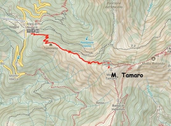
M. Tamaro boasts over 1400 m prominence in the Lugano region of Switzerland. This is one part of the country that sort of like a peninsula sticking into Italy, so the language of speaking is mostly Italian instead of German. The area around Lugano is also famous for the numerous lakes and tourism but this peak is not often visited by the tourists. The standard route follows a trail from Passo dell’Alpe di Neggia and gains over 500 m elevation. For day-hike this is considered very short but it’s not a “freebie”. Adam noticed this objective while browsing the maps and I checked the weather forecast which confirmed that we would indeed have a few hours of window in the morning. The window was not promising enough for an “Ultra” but a P1400m “Ribu” would be a nice substitution.
The pass can be accessed from either the north or the south and I simply consulted with Google Map for the driving direction. Our previous objective was M. Torrezzo and from there, Google directed us through the city of Lugano to the north side of the mountain. The weather had been horrible with torrential amount of rain, such that the driving at night was actually the crux of this outing. Without years of experience in Vancouver I doubt I would be able to pull that off. The paved road heading west from Quartino was also in a terrible shape with numerous dangerous pot-holes. I hit at least one of them hard but didn’t make any visible damage to the vehicle. We then drove up the never-ending switchbacks to near the pass and settled at one of the pull-outs. The pissing hadn’t stopped so we unfortunately had to pitch the tents in the rain. That was miserable but I assured Adam that we might as well treat this as a practice for Alaska or somewhere up north when it’s raining 300 days a year. The rained stopped overnight but our gears were soaked.
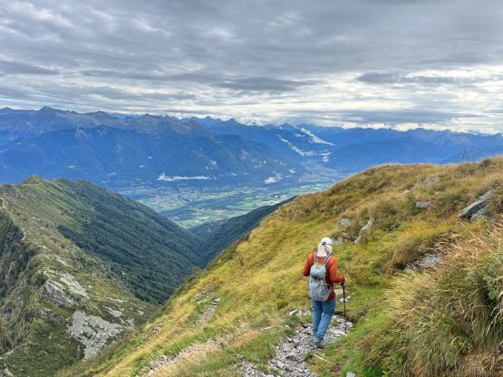
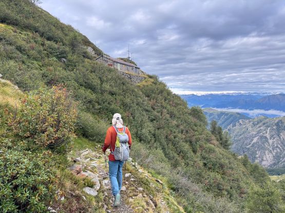
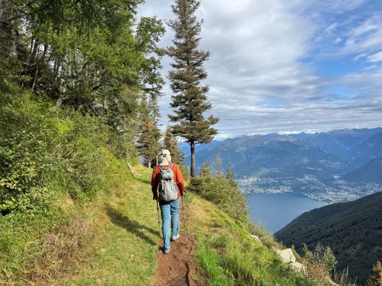
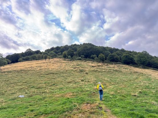
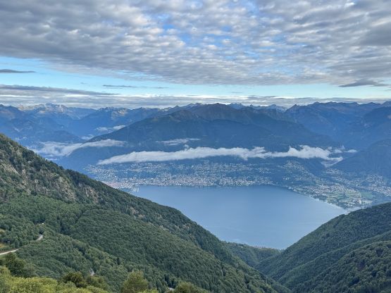
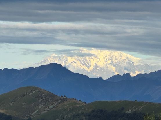
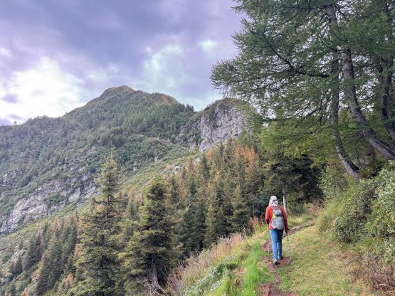
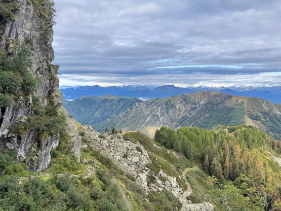
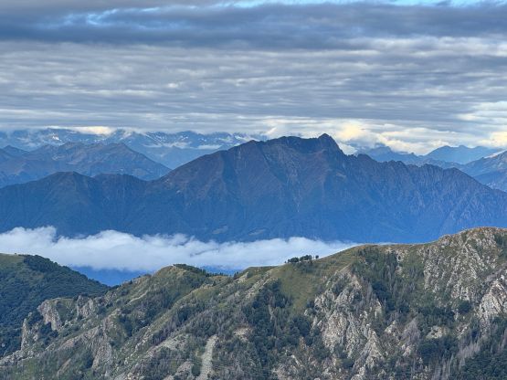
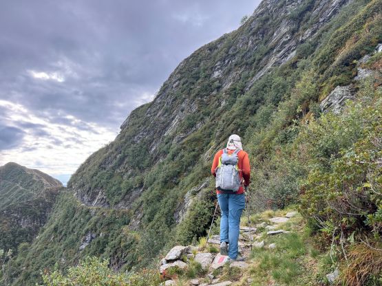
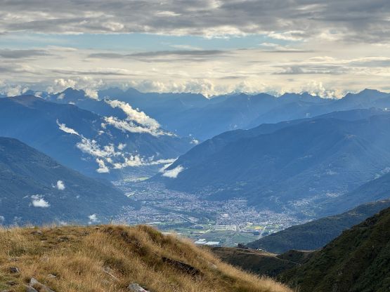
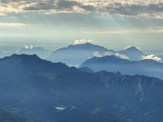
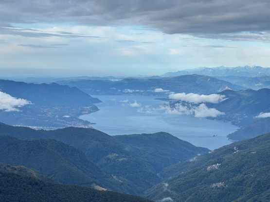
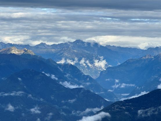
The weather was actually better than expected, such that we could see fair amount of peaks from the trail-head so our stoke level was quite high. Adam led a blistering pace up the trail so all I needed was to put one foot in front of another to keep up with the pace. The lower part of the trail traverses through the thinning forest whereas the upper section involves some scrambling steps. There were chains as usual, but no proper via ferrata climbing. The ascent was slightly longer than expected but we still got to the summit in a timely manner. We could see Monte Rosa to the far west which had been coated by a layer of fresh snow, but the nearby peaks stayed reasonably dry.

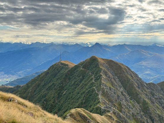
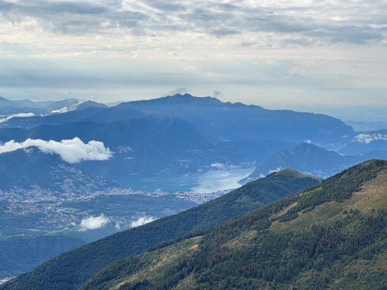
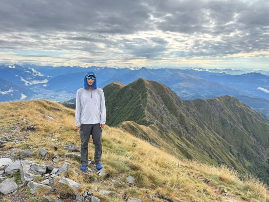
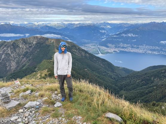
After updating our socials and peakbagger app we immediately started the descent. There was still warning for thunderstorms for the rest of the day but again, the weather was better than expected so we had to do another peak. Adam was more keen on “Ribus” but there wasn’t anything easy/short nearby. Instead I suggested we should do the popular P600m M. San Salvatore even just for the views.