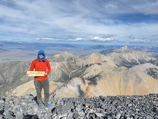
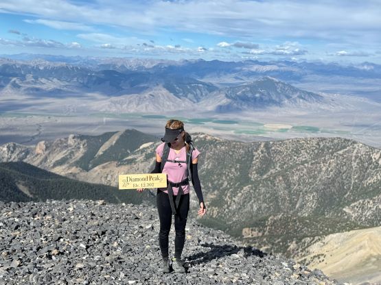
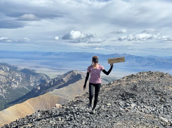
Diamond Peak [ID]
July 20, 2025
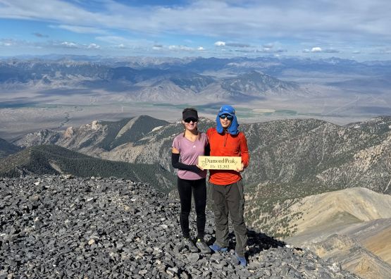
3718m
Lemhi Range, ID
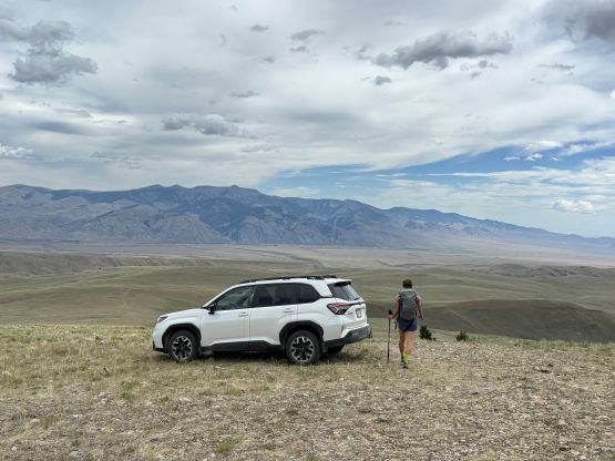
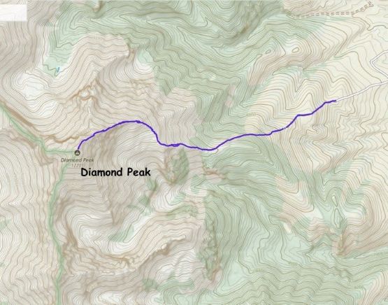
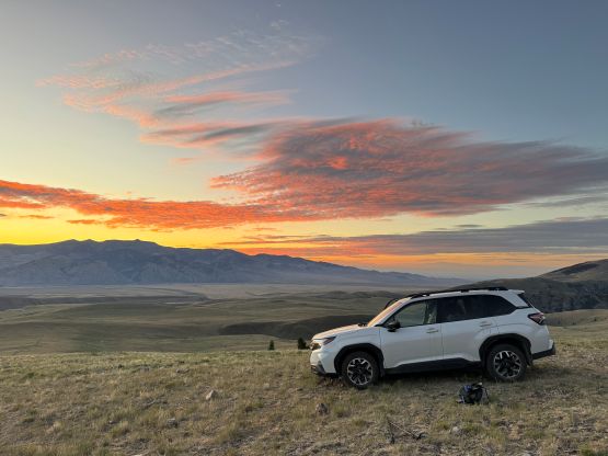
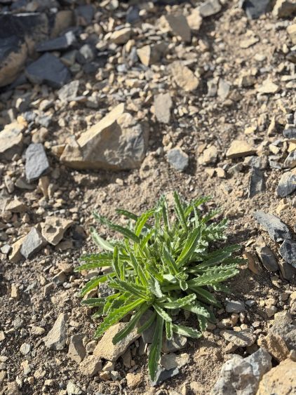
Diamond Peak is the 4th highest peak in Idaho and also boasts over 1500 m prominence in Lemhi Range in the eastern part of the state. This area is very arid so the route is more like a scramble in the desert. The standard route is 3rd class but the crux is the drive to the “trail-head”. Unless one owns an ATV or a burly 4×4 vehicle it’s not possible to drive to the actual trail-head, but a Subaru with good driving skills can get to within 10 minutes of walking from the trail-head. That’s considered “good enough” for me but the road would surely put one’s driving skills in test.
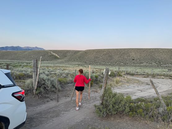
Erica and I decided to do the driving exam in the evening hours before the sun went down, so rushed our way eastwards after completing Borah Peak earlier in the day. The road system was definitely confusing on the various map layers but the driving GPX track provided by “Brice V” on peakbagger.com was all we needed. I think we followed the Pass Creek Road for a long ways in and turned sharply right while passing a closed-but-not-locked gate. The going became rough for a few rocky stretches but there wasn’t any show-stopper type of obstacle. The Subaru was quite descent on crawling on rocks but just doesn’t have the clearance to handle BC’s water bars. The desert roads thankfully are not known for their ditches, but rather the sustained roughness. I only had the stock tires so drove very carefully but one day I would change them to the AT tires and I think the Subaru would be excellent afterwards. I eventually got to the point where the road does a sharp left turn, and opted to push the first hill up. Upon seeing the second hill I opted to turn around the park, as that would not be doable with aggressive low range. The parking and camping area was very much like Mongolia. The road was not even that obvious at this point and I could simply drive around anywhere I wanted.
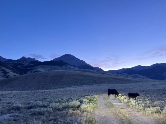
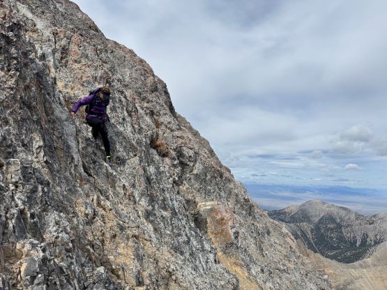
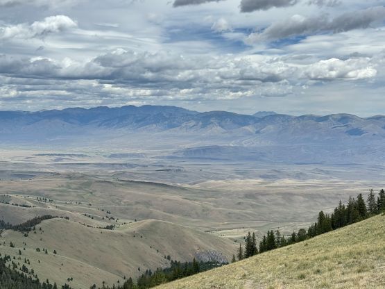
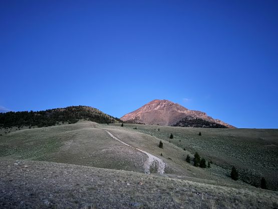
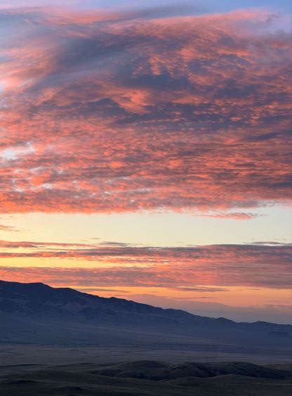
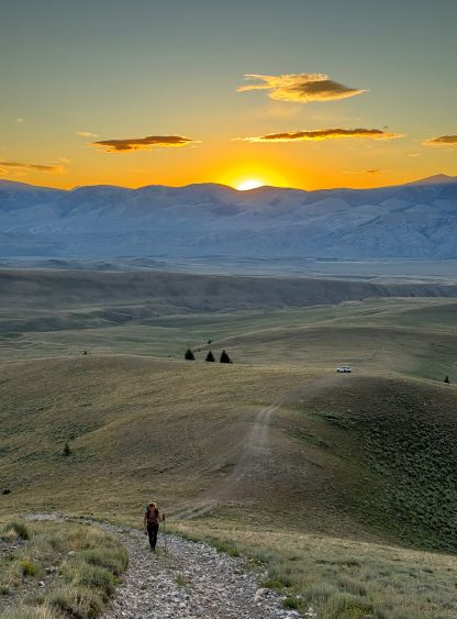
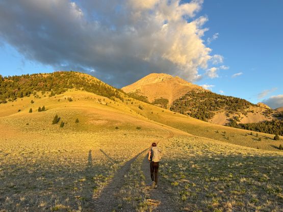
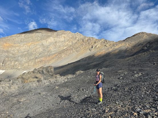
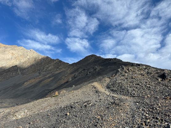
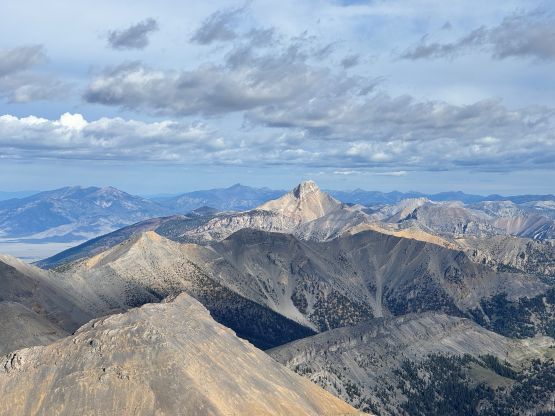
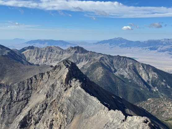
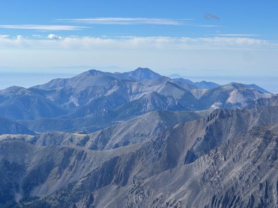
The next morning we leisurely woke up at 5:30 am which was in time for taking the sunrise photos. There was some models indicating afternoon thunder showers so we wanted to get off the route by mid-morning, if possible. I’m not a fan of doing unnecessary “alpine start” so we didn’t bother to get up that early. After plodding to the road’s absolute end we quickly picked up the unmaintained trail that ascended to the 2850-m shoulder on Diamond Peak’s SE Ridge. This part of the plodding was hot and unpleasant, but then we were greeted by the cold and chilly winds, which was also somewhat unpleasant. The plodding onto the next bench at 3150 m was loose and compact and felt very much like the front ranges of the Canadian Rockies. I joked to Erica that if I cropped a picture of the scrambling in this area people would have believed it’s from Kananaskis Country, Alberta.
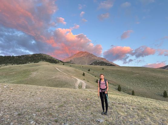
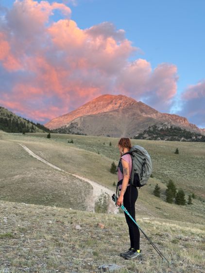

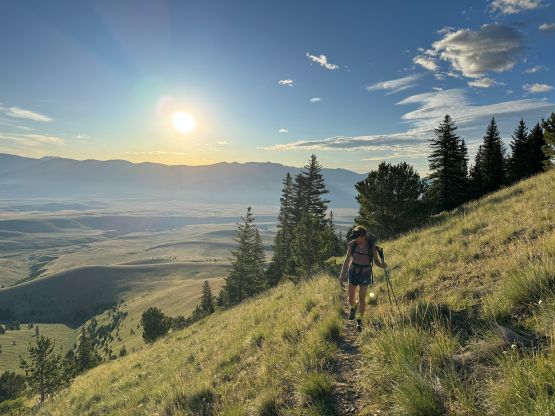
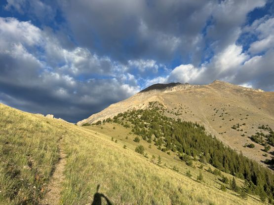
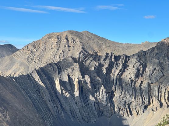
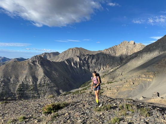
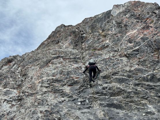
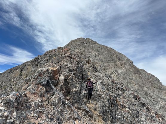
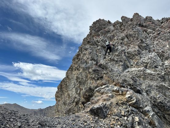
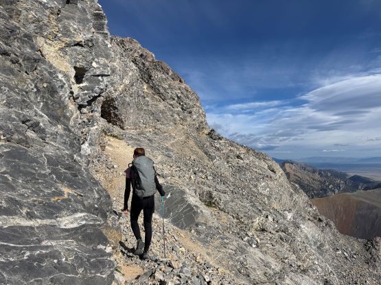
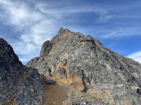
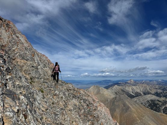
I had done absolutely no research of the scrambling route itself besides downloading a set of GPX track, as for a 3rd class route a GPX track was all I needed. There’s no point in reading the detailed route description as the route-finding could simply be made in situ. I was definitely correct. after getting onto the NE Ridge proper the scrambling would not stop until near the summit, but there wasn’t a single pitch that I would classify as “class 4”, as we did try quite hard to find the easiest possible way (to reserve energy for the Grand Teton later in the trip). A bunch of the steps were attacked on climber’s right side but there were many ways possible. There’s one notable cat-walking traverse out to the right but we down-climbed the 4th class direct route on the descent, which was also doable. The summit itself was somewhat protected from the bone chilling winds so we lingered there for quite a while. We would like to soak in the experience but we also needed to spend more time up high for acclimatization.


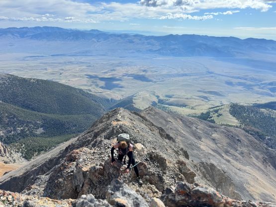

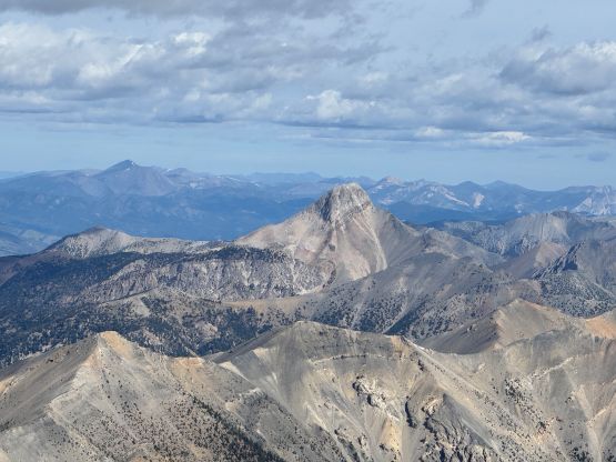
Eventually it was the time to start descending and I tried to make sure we followed the exact route we had taken. I eventually gave up thinking and just went down whatever that seemed reasonable, and as mentioned earlier we ended up down-climbing a slabby pitch of 4th class, but that’s fine. We picked up the ditched trekking poles and made quick work reversing the route. The most unpleasant part was still the scree slightly above the treeline zone. Our round trip time was just over 6 hours. The day was still young and the forecasted thunderstorms weren’t coming anytime soon, so I suggested that we should tag at least one or two bonus P600m objectives in the vicinity.