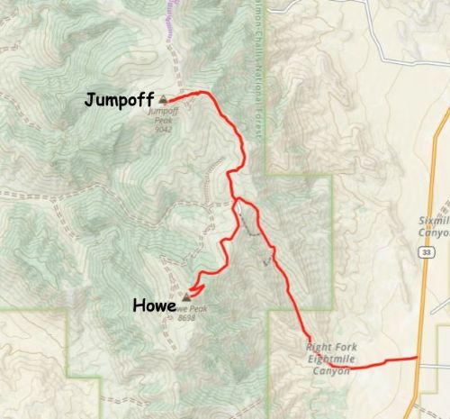
Jumpoff Peak and Howe Peak
July 20, 2025
2757m
Arco, ID
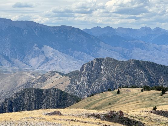
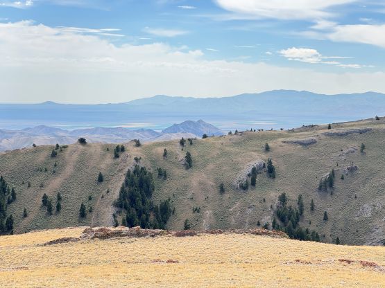
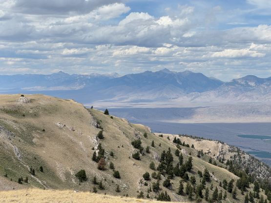
Jumpoff Peak is basically a “foothill” that stands fairly alone on the southern end of Lost River Range, but as a result it boasts over 600 m prominence. Howe Peak is even smaller but still boasts over 300 m prominence. I had these two objectives in mind when planning this 6-day road trip to southern Idaho and western Wyoming as they are mostly “drive-ups”. One could not technically drive to the very top of Jumpoff Peak but the time for the rambling in the open country should be less than 15 minutes each way. Howe Peak is more of an add-on “dumpster-dive”.
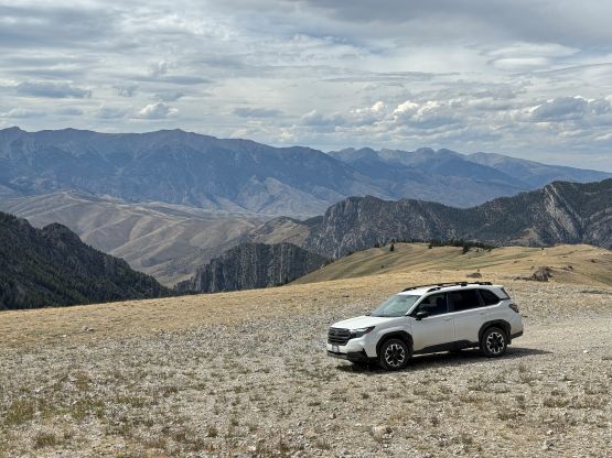
Erica and I proceeded with the plan after completing Diamond Peak earlier in the day. It didn’t take me long to drive us to the bottom of the rough roads and for the driving direction we would simply follow Eric Noel’s GPX track. To make things simpler for the future parties I also decided to record the entire driving route in addition to the hiking portion. After entering the right fork of Eightmile Canyon the going started to become rougher. The road’s bed was not terrible but the grade was insanely steep (20% or higher) towards the top. The Subaru was not producing enough power for two occasions but it somehow managed to maintain the momentum. I had to basically press the gas pedal all the way down to the bottom for one particular hill. Over 700 m elevation gain was quickly dispatched through this canyon so it was quite crazy actually. Turning right on the next intersection the road bed quickly deteriorated and the terrain had become increasingly rockier. The road was definitely testing the Subaru’s capability and I had thought about to park and start walking for more than a few times, but I simply didn’t think we could/should manage doing that. We were still a few miles away from the road’s end and we must conserve energy for Grand Teton which would be the day after tomorrow, so I pushed the Subaru to the limit and drove us all the way to the east ridge of the false summit. We didn’t get to Eric Noel’s starting point but were close enough. If I knew the roads would be that bad I probably would have opted to skip this pointless P600m drive-up objective. This trip was shaping up to be expensive in some ways…
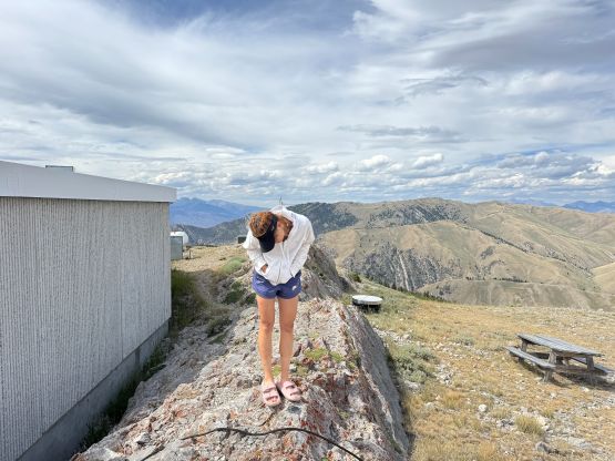
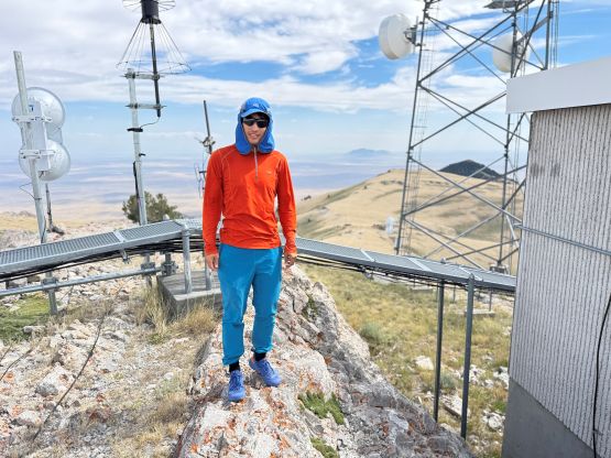
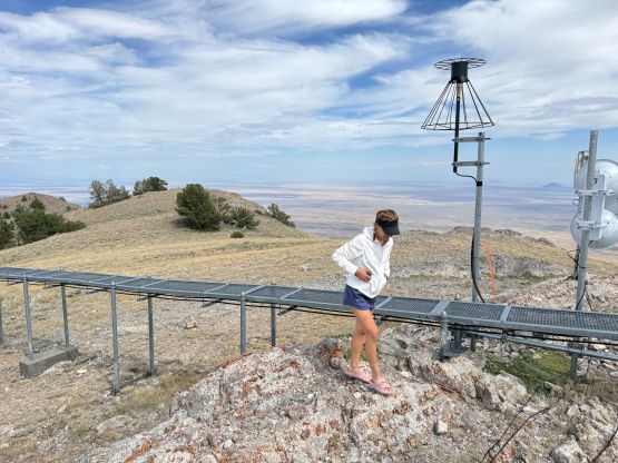
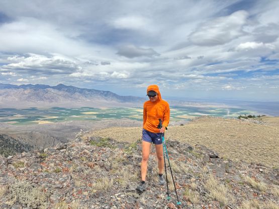
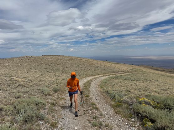
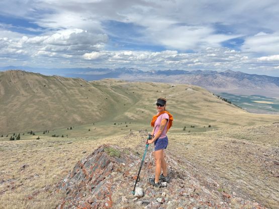
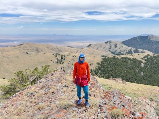
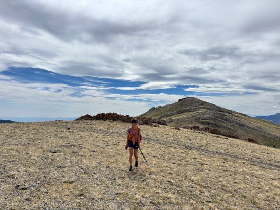
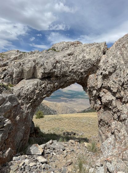
The winds were howling that we were barely able to push the vehicle’s doors open without being slammed. We were not exactly that close to the summit so still needed to change footwear to the proper hiking shoes, but could manage the round trip without carrying anything but a jacket. In short time we traversed up and over the false summit which had some communication towers. The east ridge of the true summit was more interesting than I thought. I was initially following the spine of the ridge but had to deal with several 3rd class scrambling down-climbs. I eventually decided to turn on the brain and managed the route-finding more properly. We didn’t bother to linger much on the summit but immediately started the short descent back to the vehicle. I accidently dropped the ziploc wallet at the vehicle and the hundred-dollar bills got instantly blown off by the strong winds. I had to catch them crazily like a dog trying to catch marmots and I thought I had recovered most of them. I could not tell for sure because I actually don’t know how much I had brought from home. I probably still lost a bill or two but I accepted that’s just the risk of using cash instead of cards these days, and the price I must pay at some point.
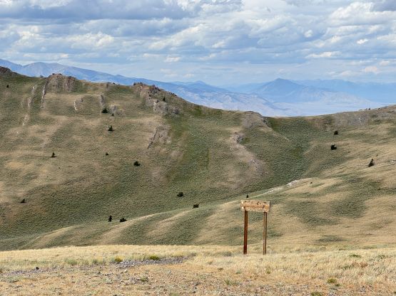
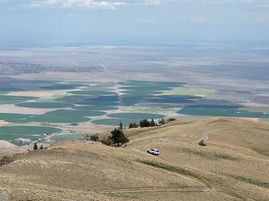
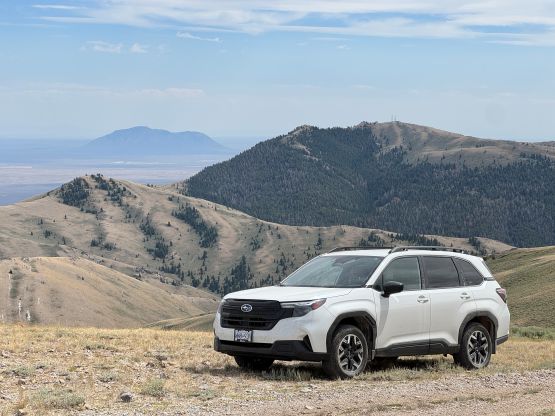
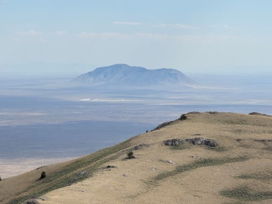
The downhill driving was definitely easier but still required lots of caution, and a long while later we got back to Jumpoff/Howe saddle. There’s zero point in skipping Howe Peak as it’s a P300m objective and the roads were supposed to be “good”. This time the road was actually “good” and imposed absolutely no problem to the Subaru. Compared to the roads on Jumpoff Peak this one was literally like a “highway”. I thought about to park at the last switchback and walk to the summit, but there wasn’t any logical spot to turn around so I reluctantly drove us all the way to the top. The summit was ugly with lots of communication structures so we took several victory photos and immediately descended. The downhill driving afterwards was uneventful and an hour or so later we drove back into the town of Arco for fuel and dinner. The next objective would be Big Southern Butte which actually turned out to be the craziest in this entire trip, not because of the hiking but rather the driving. What a bad state speaking of the backroads.