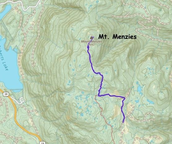
Mount Menzies
June 8, 2025
1232m
Vancouver Island, BC
Despite the lowly elevation Mt. Menzies boasts over 1000 m prominence making it one of the many “Ribus” on the northern Vancouver Island. Over the past few years this peak had been climbed by a handful prominence-based peak-baggers, and from their reports I knew I needed to save this for a day with good weather. The route seems straightforward but the timing is tricky. Ideally one wants the logging roads to be dry but the bushes in the forest to be covered in snow, and that puts the “late spring” as the most ideal time frame. The decision to finally go for Mt. Menzies was made at the last minute when I happened to have a day of spare in the vicinity of Campbell River. The primary objective of the trip was Mt. Addenbroke in the Discovery Islands and the boat we chartered would depart from Quadra Island, which was accessed from Campbell River on the northern Vancouver Island. A total of 6 ferries/boat rides would be made for that single objective so I extended the trip into two days, taking full advantage of the excellent weather and to justify the cost and the logistic complications.
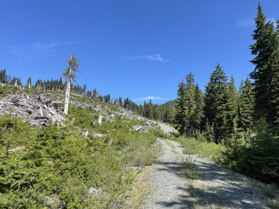
The decision to pick Mt. Menzies was because the shortness of the trip, as all I needed was a “warm-up” kind of objective. I successfully convinced Kelly, Adam and Dave to join me on Mt. Menzies but Trevor and Alex preferred Mt. Joan as that’s the one included in the “SWBC Prominent Peaks” list. I had already done Mt. Joan a few years ago. Adam and Dave opted to stay longer on the Island after Mt. Addenbroke so they had to drive out separately, paying the expensive ferry tickets. The four of us eventually gathered together in Campbell River at 10 am and then all piled into my Subaru Forester. The drive to the “trail-head” as described in John Stolk’s trip report was steep and loose, and definitely required a high clearance, 4×4 vehicle. The Forester handled the job well but this was definitely not doable in Dave’s van. I parked in front of a sizeable ditch about 100 m below John’s starting point.
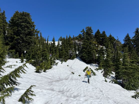
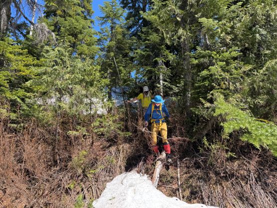
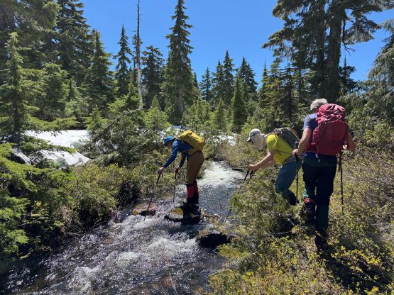
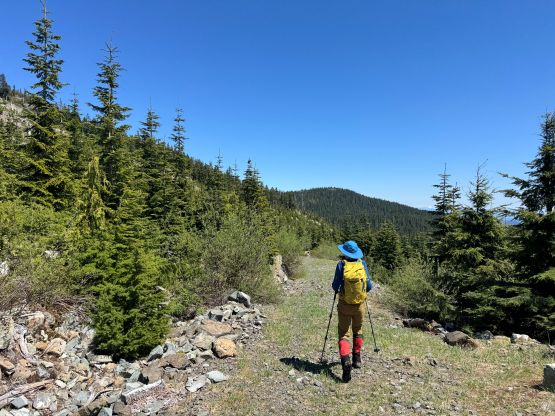
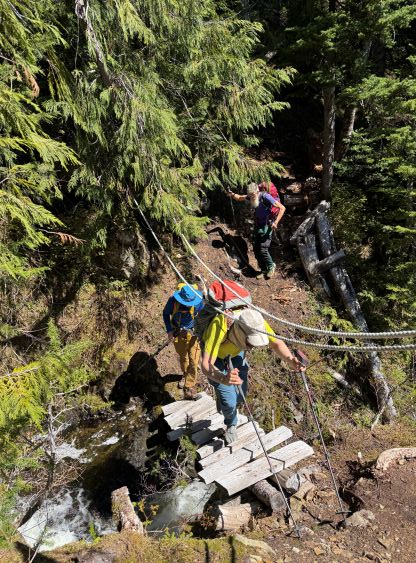
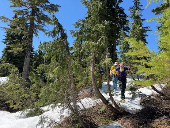
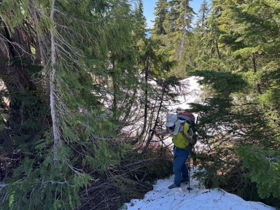
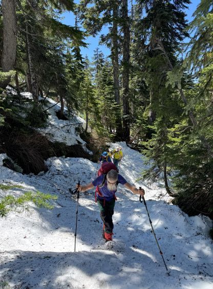
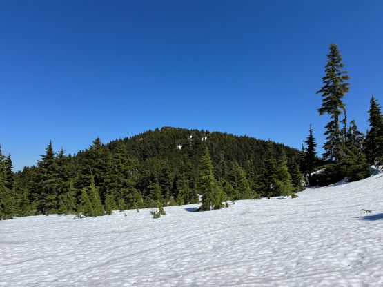
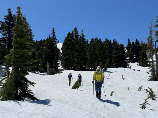
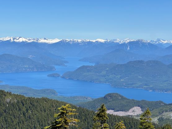
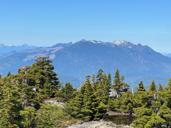
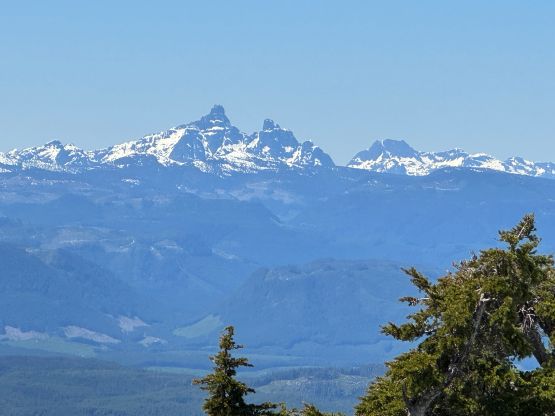
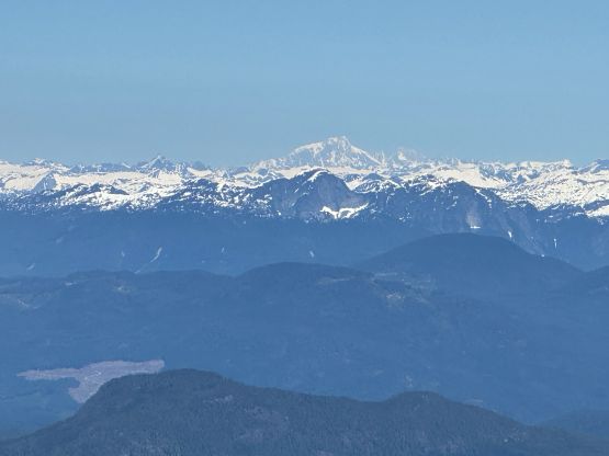
The sun was already beating down mercilessly but the mosquitoes hadn’t fully come out yet. With the heat I decided to lead at a rather leisure pace, but made that same mistake that John’s group did by taking the wrong trail towards the unnamed lake. We ended up not realizing the mistake until “too late”, so the new decision was made to bushwhacking straight up the forest to intersect the correct path. The forest was actually not too bad except for one creek crossing that required some creative thinking. We hit continuous snow shortly after that at around 1050 m elevation. I also tried to stick to John’s GPX track which was supposed to be the “correct route” in the summer time, but the presence of snow made that impossible. Nevertheless we stuck to the climber’s right side of an obvious drainage and just did our own way to the base of the first false summit. At this point I decided to completely ignore the existing GPX track and simply navigated using the Gaia map as well as the field observations. The first bump was bypassed by traversing around the south side and the second bump was bypassed by traversing over a saddle. The boots were swapped on as the post-holing had taken over, but the decision to leave the snowshoes behind was definitely correct. The views from the summit were definitely good, but not as jaw dropping as I was hoping for.
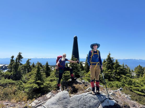
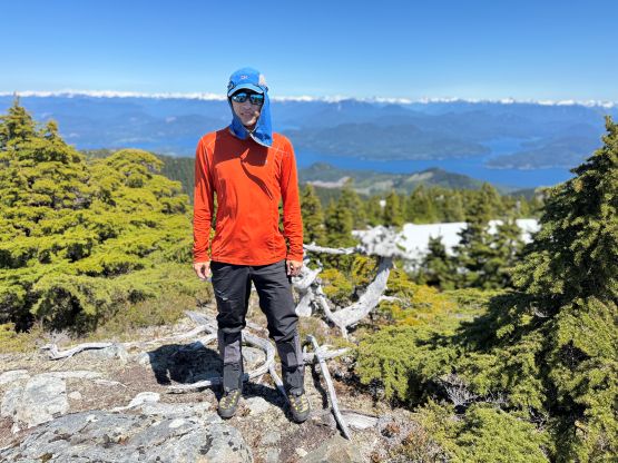
I had decided to leave the jackets in the vehicle but the summit was actually quite windy. I got cold in no time, so the stay on the summit was actually quite short. The dildo on the summit was ugly anyway. On the descent we simply retraced our own foot prints down the exact same route that we had taken, including that section of the off-route detour. I thought the forest was actually not that bad so it might not make too much sense trying to find John’s starting point. Once getting down to the trail Dave, Adam and I spent several minutes swapping the boots back to the trail runners, and then jogged down to the vehicle, concluding the round trip in under 3.5 hours. The day was still young so the new decision was made to try Newcastle Ridge before heading back to Campbell River.