Monte Amaro
August 15, 2025
2793m
Abruzzo Region, Italy
M. Amaro is “the other” ultra-prominent peak in the central Apennines beside the peninsula’s high point, Corno Grande and from peak-bagging perspective it makes perfect sense to do these two together. When Adam and I planned the trip down south to ascend Corno Grande we didn’t actually give ourselves enough buffer to tag M. Amaro but I somehow managed to make this happen. We only had 1.5 days to drive from the Dolomites, do the two Ultras and drive all the way back to the Tyrolean Alps. It seemed impossible on paper, but I determined it was still possible if we were okay to summit Corno Grande at night and skip most, if not all of the sleeping hours.
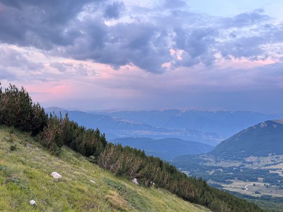
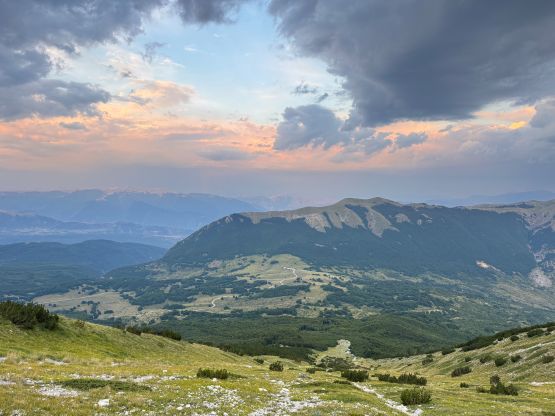
We did summit Corno Grande in the dark and finished the round trip at around 11 pm when there were intense thunderstorms all around the area. I was originally thinking to make camp sooner but we were short on fuel and the weather was not cooperating, such that it made more sense to keep pushing. We drove down to the city when the gas gauge was showing less than 10 km range and thankfully did manage to find a 24-hour gas station. The self-paying machine couldn’t take Adam’s card so I inserted a 50 EUR bill (I’m always a cash person). This was done with intension to overpay to reduce the overall number of gas station stops, but the machine couldn’t spit out the few euros of change in the end. Given that we would never be back at this same gas station in the day time (working hours) those few euros were considered lost. Thankfully I did not overpay by too much. We were outrageously pissed and I almost kicked that stupid fucking thing. But we still had to get the job done so I drove us down south for another 1.5 hours on mostly winding roads, and pulled over within 1 km from M. Amaro’s starting point. I was aiming to follow David Hart’s GPX track which is the shortest possible way, but this is a “route” rather than a “trail” so there’s no designated parking area. There’s apparently an event going on in the vicinity that it was extremely busy and noisy even at 2 am. Adam didn’t want to pitch his tent but I still pitched mine, as getting 2 hours of sleep would still be better than nothing.
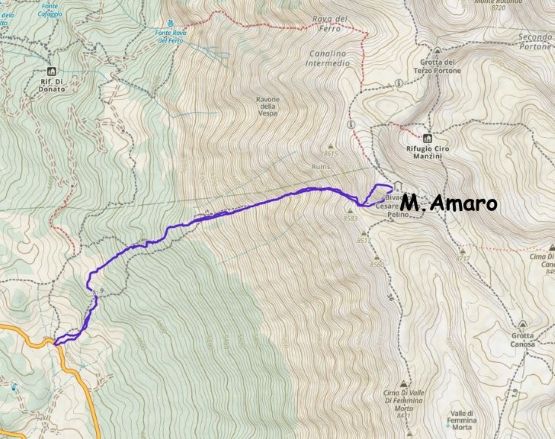
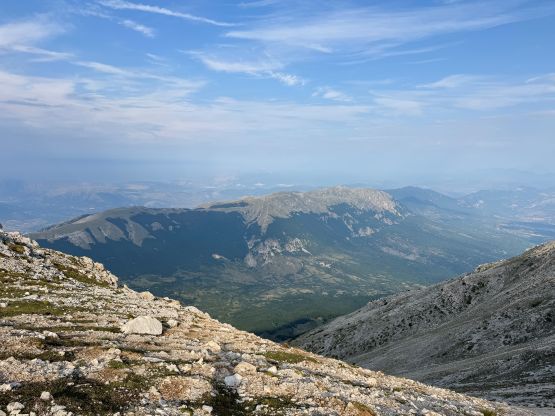
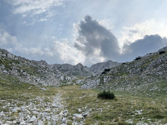
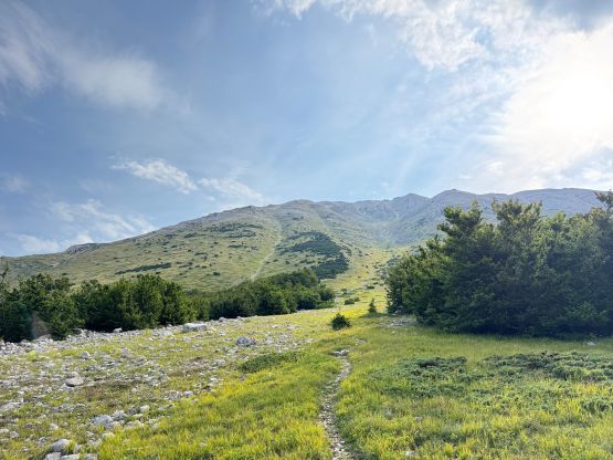
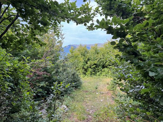
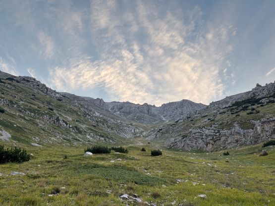
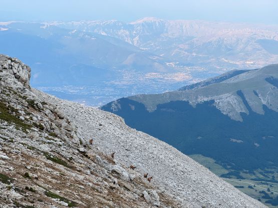
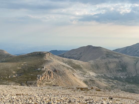
The newest weather forecast indicated the only possible window without significant chance of thunderstorm was between 6 and 8 am so I had to aim at summitting no later than 8 am. There were about 1500 m elevation gain, mostly off-trail so the latest I wanted to start hiking was 5 am. Adam unfortunately couldn’t manage that so he sat this one out in the car. The start of the route was miserable as expected as there’s no path to speak of, and I had to wallow through the knee+ deep wet grass with some stinging nettles in the pitch dark. Thankfully the field gave way to an old dirt road, and it seemed to me that David’s track was starting to follow this road. The road gave way to a path higher up, but the trail was definitely not maintained officially. I lost the trail a couple times but always managed to pick it up again. It was definitely a haul to reach the gigantic ascending gully but it actually didn’t take me too long.
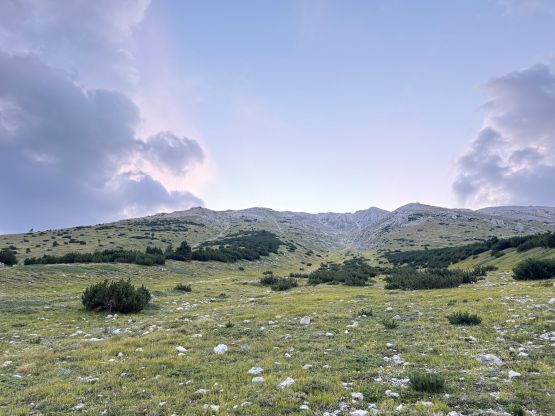
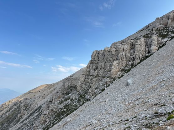
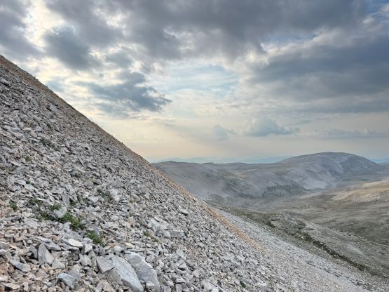
This position marked the 1000m grunt. The route was straightforward but this one felt more like a typical scramble in the Canadian Rockies instead of a peak in Europe. There was absolutely no defined path so I mostly just went straight the fuck up. The lower half of the gully below the hourglass was straightforward but the upper half was sort of loose. I had to pick the route more carefully to avoid the treadmill scree, and needless to say, the ascent was not enjoyable. I eventually crested the upper plateau but then picked a bad route up the final 150 m summit block. I thought it wouldn’t be much different so went straight up the SW flanks, and punished myself with treadmill scree that’s loose even for a Rockies veteran. It was literally one step up, two steps down… Thankfully it wasn’t everlasting so I did eventually top out onto the summit ridge and attained the summit shortly after.
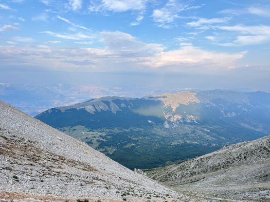


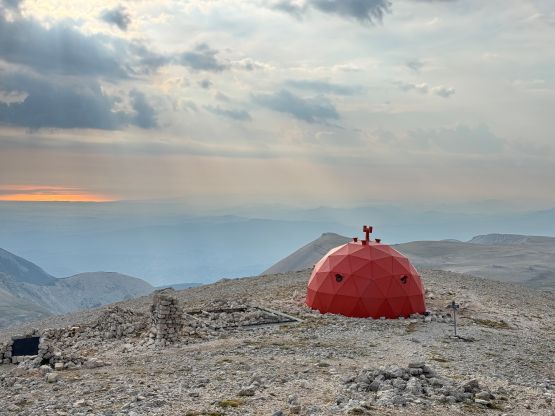
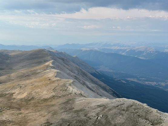
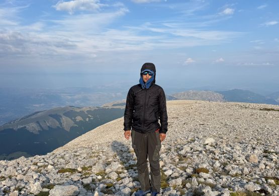
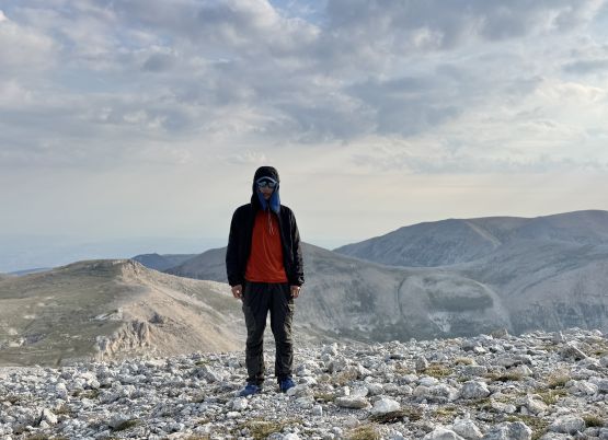
Due to the concern about the weather I didn’t want to linger too long up there, but I still took my time as I was very tired. I picked a slightly better way down the summit block but there was still no trail. This peak sucks no matter what. To descend that gigantic 1000-m gully I simply put one foot in front of another while maintaining balance. I did not have to stop for a break so the descent was done fairly quickly. Lower down I could see the terrain better in daytime so managed to stay on that trail/road for the entire course. The very bottom of this route was in that field with no trail. I searched more thoroughly on the descent but found nothing, so this part would be a light bushwhack no matter what. My round trip time was less than 4.5 hours and I finished minutes before hearing the first thunder of the day. Dark clouds were building up to the south, so it was time to drive away, and I did manage to push all the way to 1 hour NW of Bozen to position ourselves for Ortles that’s coming up in the next two days.