Trollvasstinden
July 23, 2024
1285m
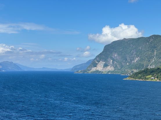
Nordfjordeid, Norway
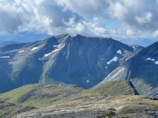
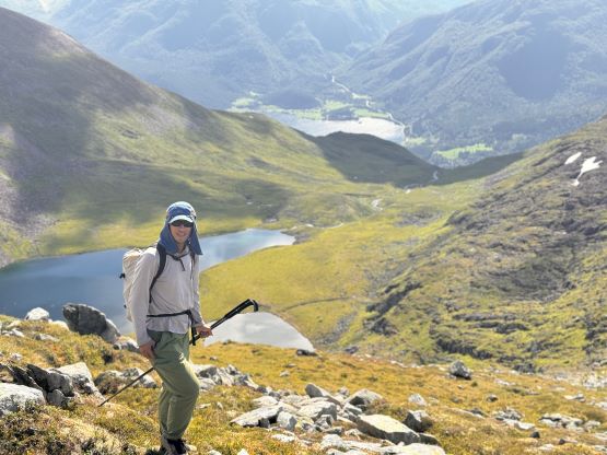
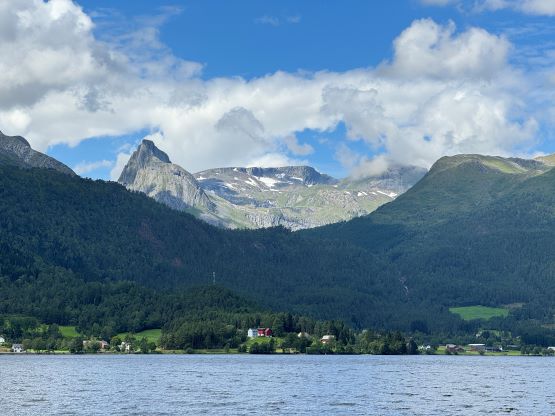
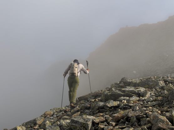
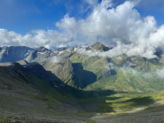
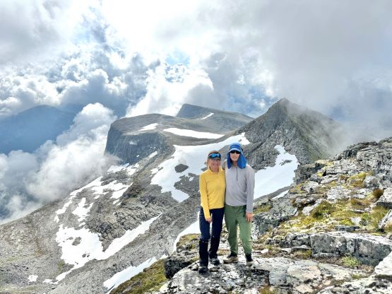
Trollvasstinden is an obscured P1000m or “Ribu” objective in southern Norway not far from the town of Nordfjordeid. The south peak, named Bytingstinden is much more often ascended, but it doesn’t boast enough prominence to qualify as a separate mountain. The traverse of the two peaks required class 3 scrambling with decent amount of exposure, but the connecting ridge can be bypassed by traversing steep grass and scree on the west slopes. The side-hilling is technically easier but more unpleasant. In any case Erica and I did the two peaks together on the 4th day of our Norway trip. The original plan was Kolåstinden but the weather was slightly nicer towards the lower elevation zones near the coast, and neither did we want to push for another 2 hours of driving past midnight.
There are a few possible starting positions for Trollvasstinden based on the Gaia map and the GPX tracks that I had previously downloaded from Peakbook (the Norwegian equivalent to peakbagger.com). We decided to explore the highest possible starting point first because we all preferred things to be as easy as possible, especially on a long road trip like this. The last few kilometers of the access road was steep and unpaved but imposed no problem to our rental vehicle. We did encounter a gate but Erica went out and found out that it wasn’t locked. We actually tried to drive the decommissioned part of the spur road but the conditions deteriorated rapidly and there wasn’t any ideal spot for camping, so we turned around, drove down to that gate and camped there. It was already 1 am and we were both dead exhausted. The next morning we woke up at around 6 am, leisurely did the morning routine and drove back up to the start of that decommissioned spur road and parked for the day.
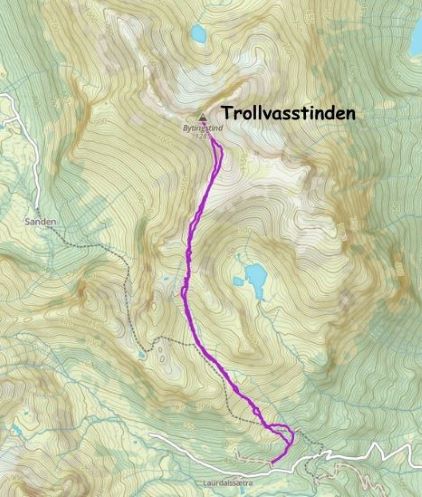
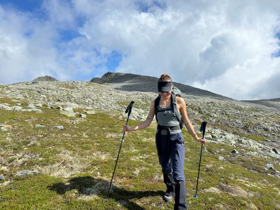
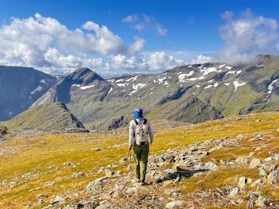
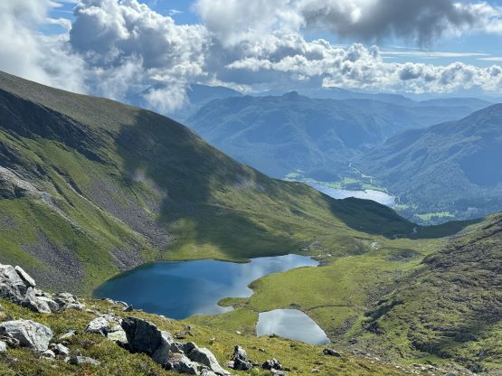
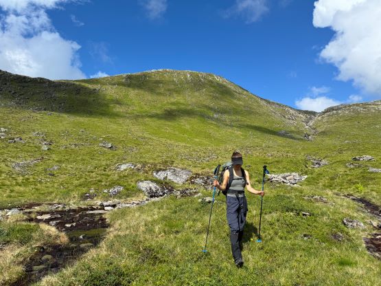
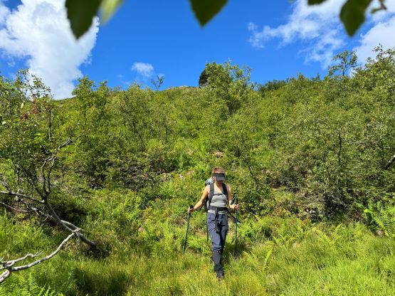
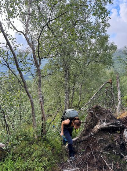
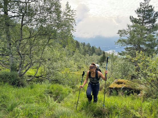
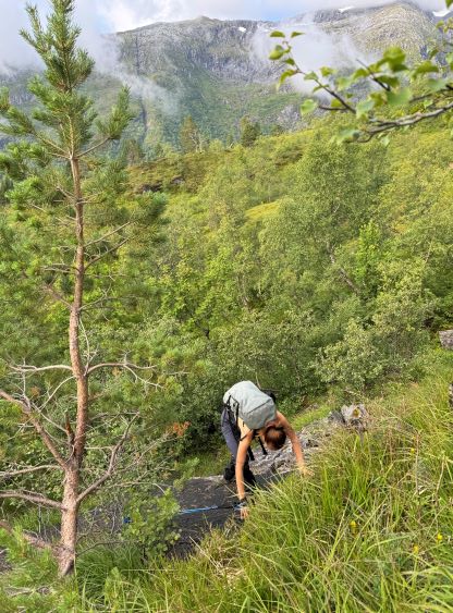
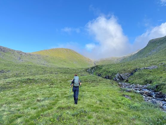
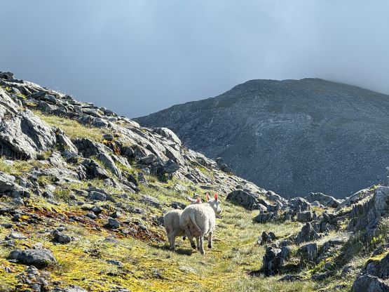
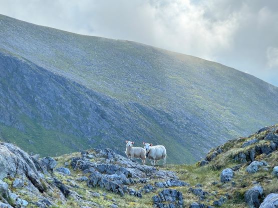
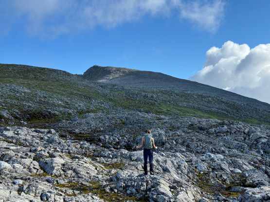
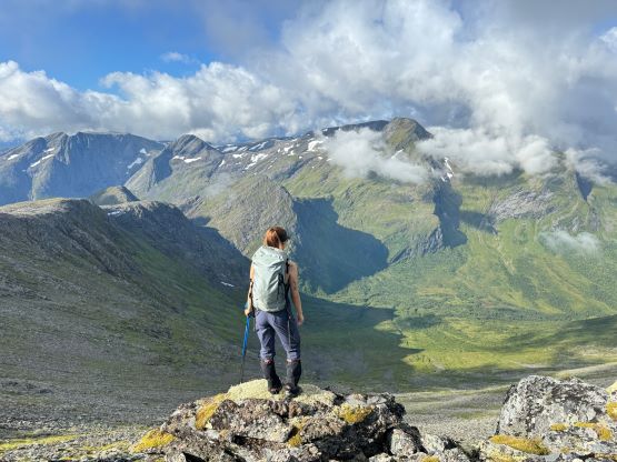
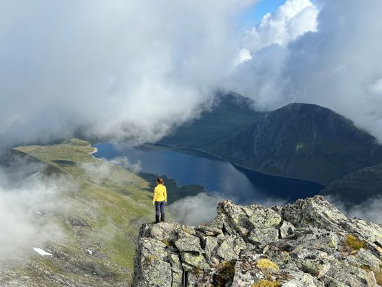
Thank to the downpour in the previous day the entire vegetated portion of this hike was saturated. We tried to follow the GPX track but failed to find an existing path, but the travel was easy enough and was mostly in open terrain with hardly any bushwhacking. But there was enough grass to completely soak my shoes so the going was not very pleasant. We also opted to deviate from the track and did our own straight-up variation because again, there wasn’t really a “trail” so there’s no point in sticking to the GPX track. After a long while of slogging in humid conditions we came to an open valley and it was here that the weather also showed signs of improvement. With patches of blue skies above our stoke level was high, and we plodded across this (again, wet and saturated) valley and then upwards onto the upper plateau. Meanwhile I received a text message from Adam that it was currently drizzling and white-out on the summit of Skårasalen, making me glad to have picked our own objective. Again, the last-minute forecast called for higher chances of rain/clouds towards the inland so we stuck closer to the coast.
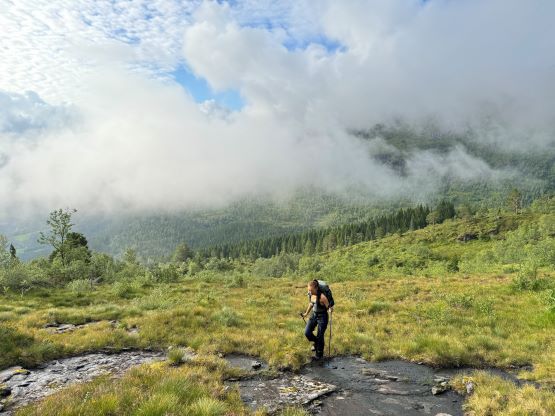
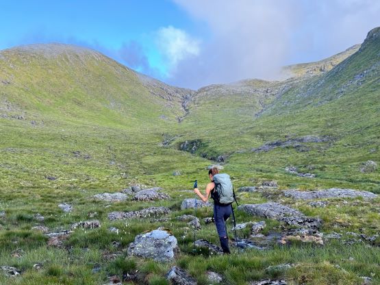
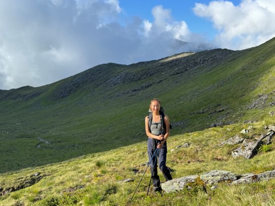
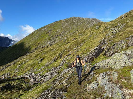
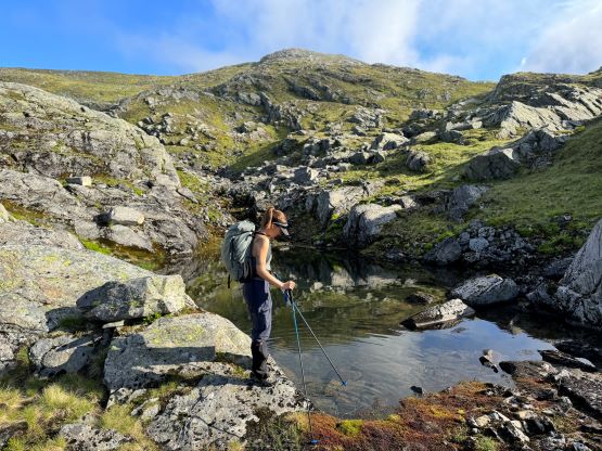
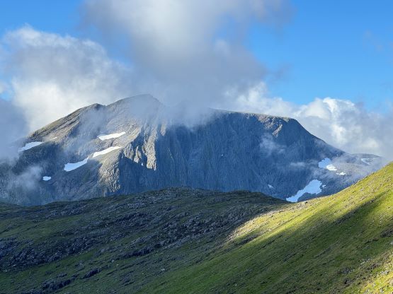
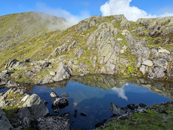
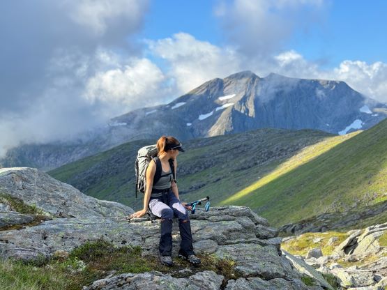
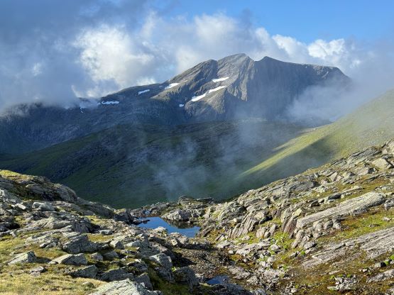
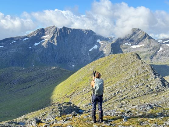
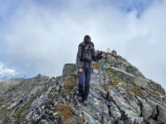
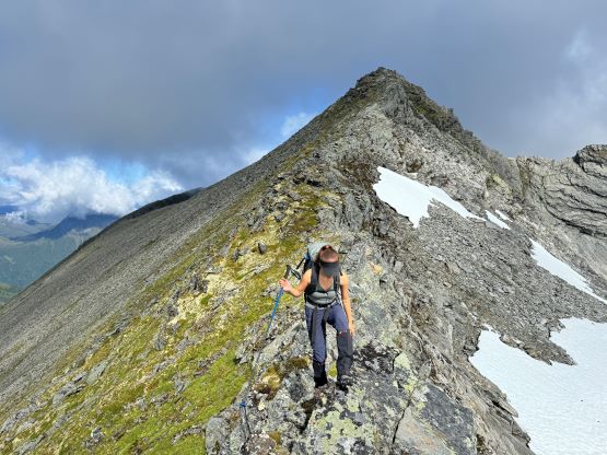
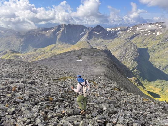
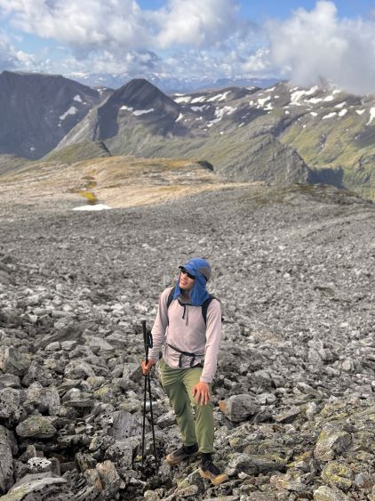
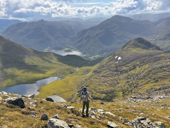
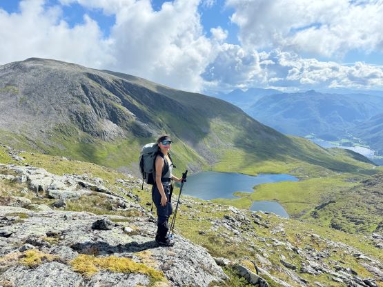
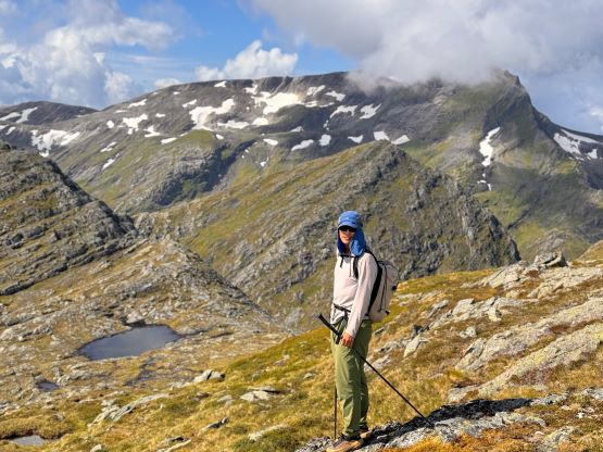
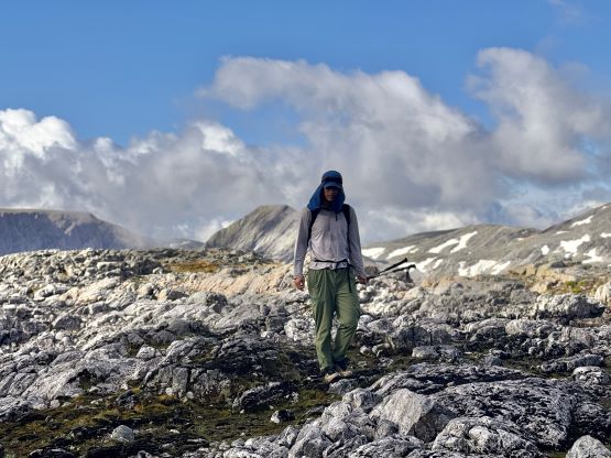
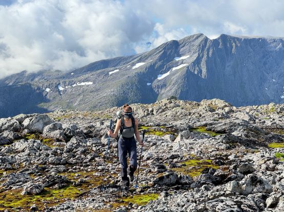
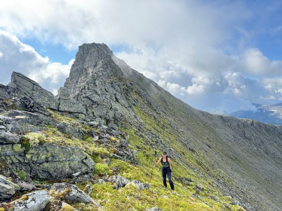
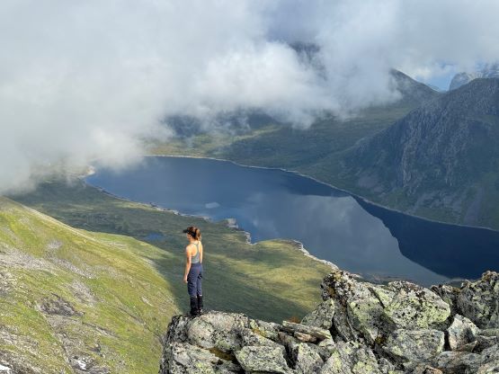
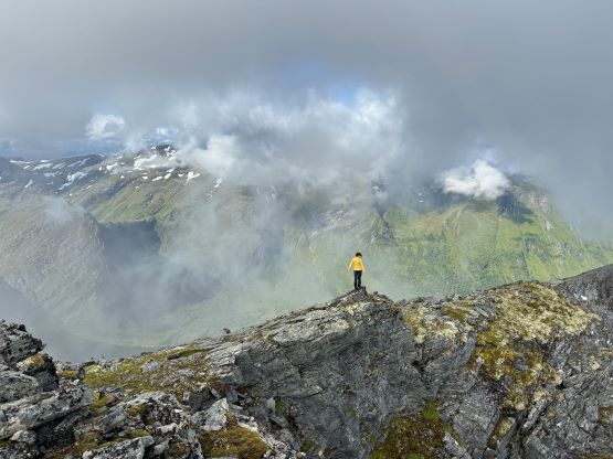
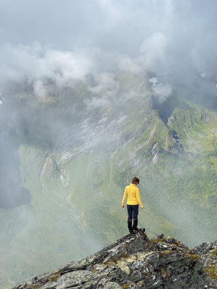
The plod across the upper plateau to the base of Bytingstinden was surprisingly straightforward with hardly any noticeable boulder-hopping. I contemplated about our route options and opted to stick to the known on the ascent, that was to follow the GPX track traversing across the west slopes of Bytingstinden to the saddle between the two peaks. The traverse was indeed technically easy, but sucked due to the slippery conditions. Upon reaching the col with a head-on view of the north ridge of Bytingstinden I instantly decided to take the high route on the return, even though I knew nothing about the north ridge and its difficulty. The ascent of Trollvasstinden via the south ridge was at most “class 2” and we got some intermittent views. The weather really showed signs of further clearing so we lingered on the summit for almost an hour, as why not.

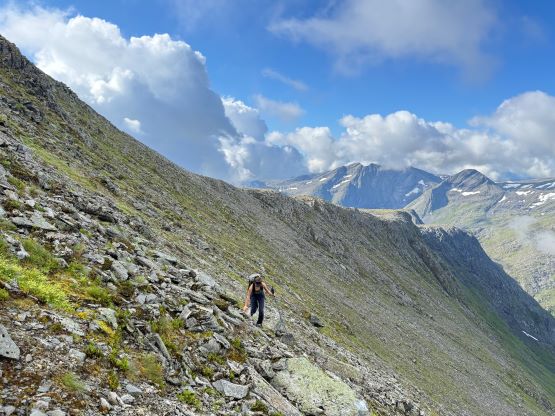
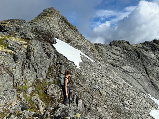
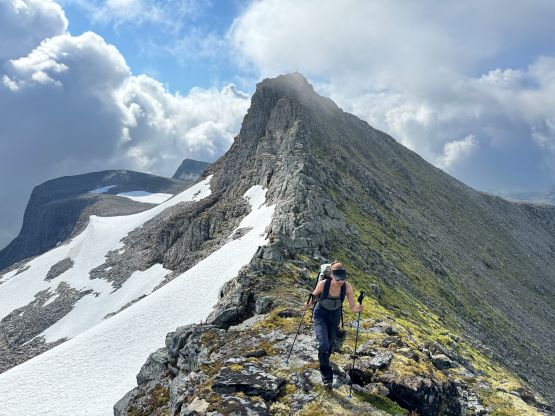
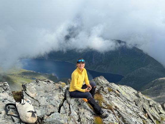
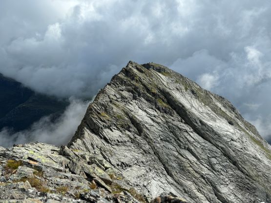

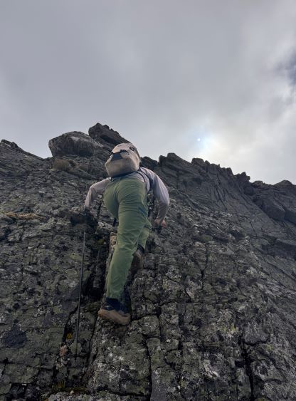
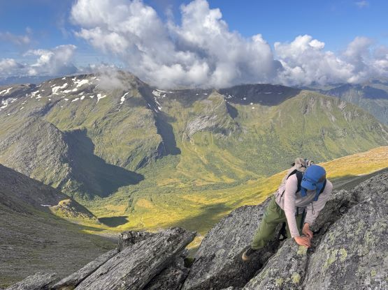
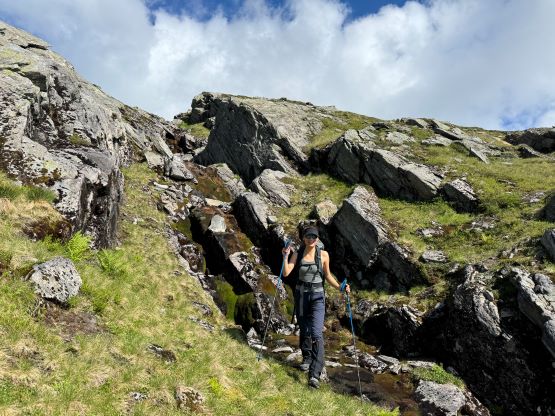
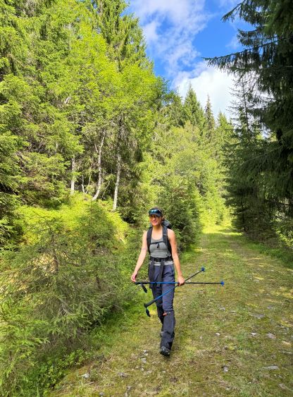
After having enough of the views we leisurely descended to the col and then I led us up the north ridge of Bytingstinden, sticking as close to the crest as possible for more fun scrambling experience. The terrain never exceeded “class 3” and the steep parts could even be bypassed on the climber’s right side if needed. In short time we made to the second summit of the day, and the register suggested more frequent traffics on this peak. We then descended the same route sticking close to our own GPX track, and the vegetation had mostly dried out by this point. The weather really cleared up but we also encountered a bit more bushwhacking thank to my not-so-careful route-finding. We eventually got back to the vehicle at a reasonable time so I wanted something else to fill in the day. The objective for the next day would be Store Smørskredtind so we would drive towards Volda and upon getting there I decided instantly on Helgehornet and then we extended the day by grabbing a P600m island high point, Sollia.