Helgehornet
July 23, 2024
626m
Volda, Norway
Helgehornet boasts over 500 m prominence and is a very popular objective in the vicinity of Volda and Ørsta, a very touristy area on the coastline of southern Norway. For some reasons the trail hasn’t been put up on the Gaia map yet so I thought this would require some cross-country travel. The terrain appeared straightforward but thankfully I still bothered to do some last minute Google research and thereafter found out the trail. It even has a separate page on AllTrails so I was surprised that it’s not on Gaia yet. I found this objective while driving towards Volda and made the spontaneous decision to hike it as the weather was nicer towards the coast and Erica and I had the majority of the day to do something. We had just finished Trollvasstinden earlier in the morning but that ascent didn’t take us too long. Erica was sleeping so I didn’t bother to do any stopping, but rather letting Google Map to direct us to the trail-head on the east side of the peak. It’s an official trail-head but the parking fee isn’t mandatory. They only “recommend” us to pay something like 30 NOK and of course I refused to do so. [Petter later told me that those trails and roads were maintained by the locals and it’s not the government that made the money grabbing, so it’d be nicer if future parties do contribute something into their work. I mean 30 NOK isn’t much at all to be fair.]

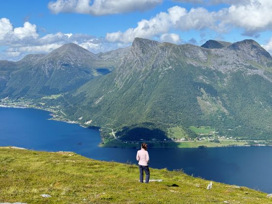
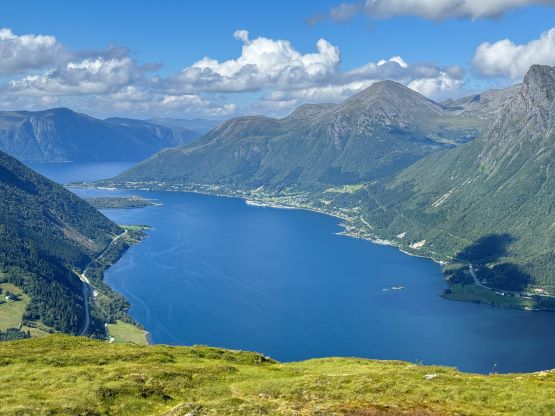
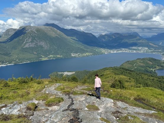
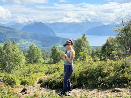
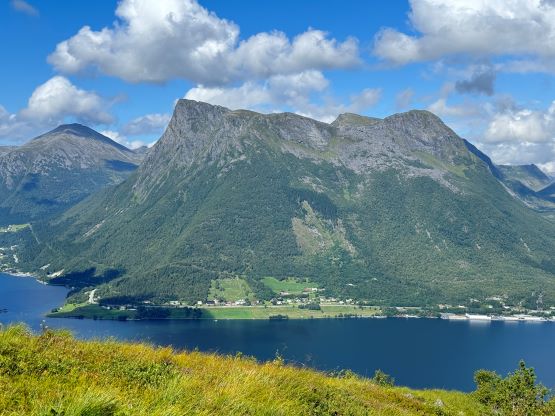
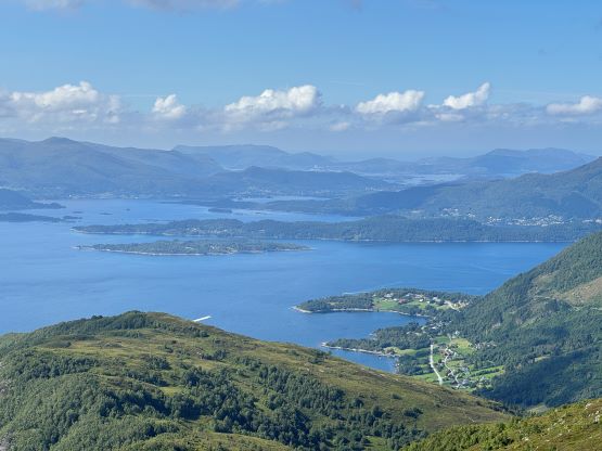
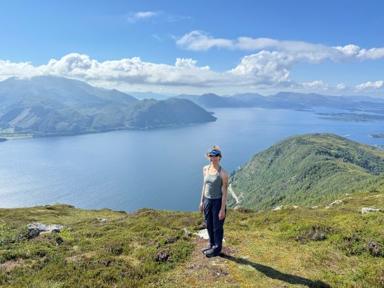
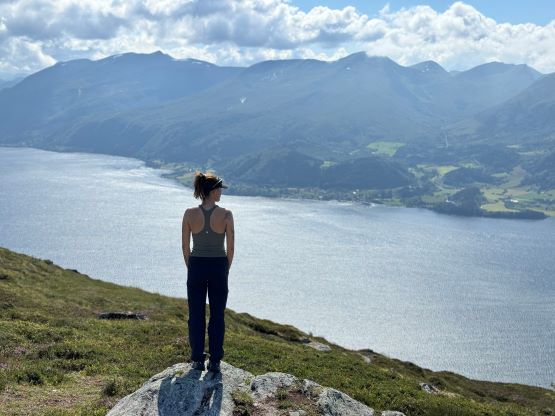
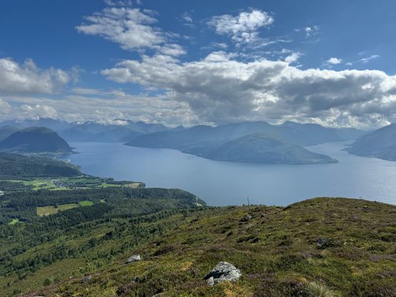
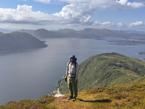
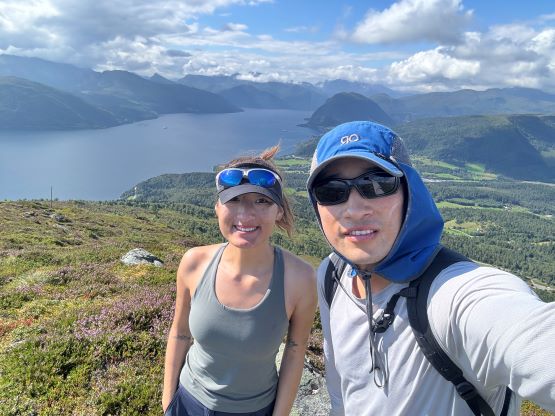
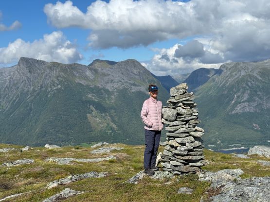
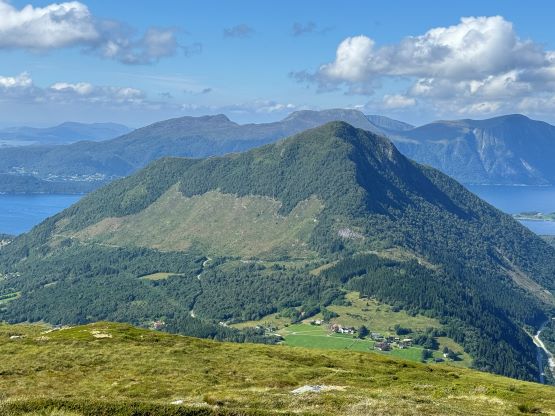
We were a bit lazy at the trail-head so it took us a while to get ready, but once starting the hike was no-brainer. All we needed was to put one foot in front of another while following the obvious trail to the top. There was about 350 m elevation gain so it wasn’t “nothing” as I was hoping for. The summit was rounded with some communication structures but we found excellent views while walking around. We could see the higher peaks to the east were still soaked in the clouds so Adam definitely had a bad day somewhere there. The coastal areas around Volda and further to the west were mostly sunny, by comparison.
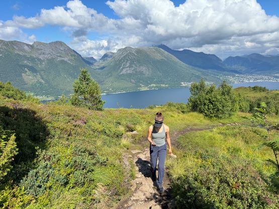

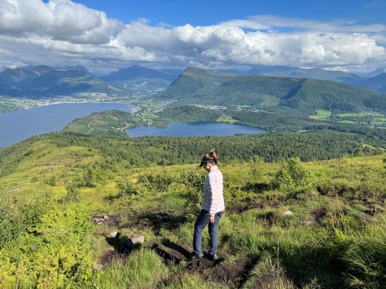
While sitting on the summit I made another spontaneous decision to jack up the ambition of the day, by driving farther west to grab another P600m island high point, namely Sollia. This would result in camping at the coast but then the weather for the next day was also in favour of the afternoon. After consulting with Erica about the new plan we decided to descend quickly, but before doing so we would walk north to check out some potential views. It wasn’t as spectacular as we were hoping for, but would still do. We then took a short-cut through some tall and slippery grass to rejoin the trail, and then jogged down to the car. We immediately turned on the engine and the scenic drive to the next trail-head would take roughly another hour with some impressive tunnel crossings.