Monte Torrezzo
August 20, 2025
1378m
Lombardy Region, Italy
M. Torrezzo is the highest peak of the large piece of wooded land to the west of Lake Iseo in the southern Alps of northern Italy. There’s nothing magic about this objective. The hike would fall into that category of “dumpster dive” and the sole reason why peak-baggers insisted on doing it was the prominence. This peak boasts over 1000 m prominence so it’s one of the 7000+ Ribus in the world. When things start to become this theoretical it’s hard to explain to the normal crowds but the selected few individuals. Adam proposed that we should tag this objective after finishing Mottarone earlier in the morning. Adam had apparently read Petter’s most recent trip report and determined that it would be short/easy enough even with a severe thunderstorm warning in effect.
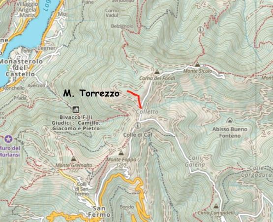
I had opted to ignore the weather forecast on this day as the morning was sunny but the forecasts were calling for rain. I immediately started the 2-hour drive eastwards through the city of Bergamo. We did make one stop for food and gas, but elsewise we didn’t actually have that much extra time to waste. The drive to the “trail-head” was more of an adventure than the hike itself, which is usually the case for these no-brainer prominent peaks. To climb a P1000m “Ribu” one has to gain at least 1000 m elevation, and in the case when the hike is short, the elevation gain must be dispatched by driving. Google Map, being an American app, knows absolutely nothing about the smaller roads on this mountain and falsely directed me onto some sketchy and narrow dirt roads. Turning around was difficult but I made work by doing a 10-point turn. I then turned on the Gaia and satellite maps and we indeed found the right way, but this road was apparently private. Nevertheless Adam and I loved trespassing so we ignored the private sign and drove to the upper end at “Il Colletto” marked on the Gaia map.
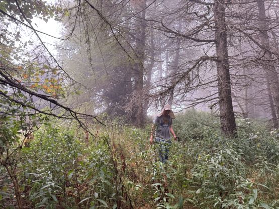
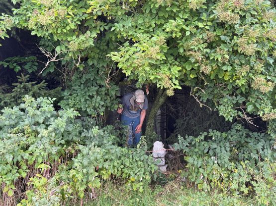
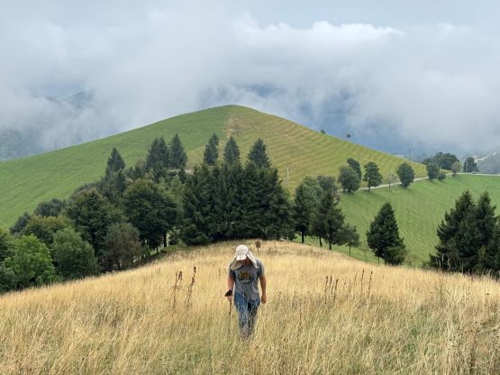
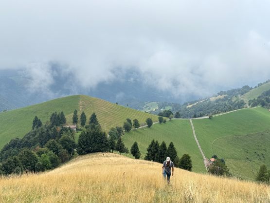
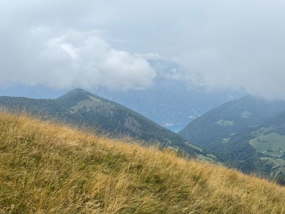
We were in some dense fogs and I could feel the water moistures starting to build up. We thought the thunderstorms would arrive very soon, so rushed to get this peak done. Thankfully the hike was “nothing”. The trail was quite absent though so we did have to plod through some open grassland. There was an unofficial path and the grass was thankfully not very wet (yet). We then picked up a path in the forest after gaining the east ridge and followed this path to what we thought was the highest point. We had to check the map a few times to make sure we indeed tagged the highest point. This was easily one of, if not the worst peak bagged in this Europe trip. What a waste of time/money.

I was not particularly happy about this objective so quickly dashed back to the vehicle and drove away. The weather was still holding, and actually improved as we lost elevation down to the plain. There are about a dozen “Ribus” for us to choose from for the next day (also with mediocre forecast) and Adam picked M. Tamaro in Switzerland’s Lugano region, so we had another 2 hours to drive back to the NW. The downpour had finally arrived, and the drive would be impossible without years of experience driving in Vancouver’s rainy season. I had to turn the wiper to the fastest mode and that was still not enough. I could not see the lanes nor any obstacle on the road, but kept pushing and eventually got us a ways up the switchbacks up the north side of M. Tamaro. The pissing was not showing any sign of stopping so we pitched the tents in the rain and went to bed miserably.