Gunung Tampomas
September 1, 2023
1684m
Java, Indonesia
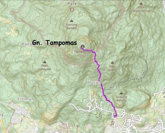
Gn. Tampomas is one of those peaks that boast over 1000 m prominence in the province of West Java and is fairly straightforward. The shorter south side route requires only 850 m elevation gain. Adam and I had originally considered Gn. Tampomas while slamming through Java but we decided to skip it in order to give plenty of contingency for South Sumatra’s Gn. Dempo. In the end, the climb of Dempo went down fluently such that we had earned ourselves a spare day in Jakarta. We did not particularly need a “rest day” so the new plan was then to bag Tampomas in a day return from Jakarta. We found a new driver and this driver agreed to pick us up at 2 am, so it’s possible that we would have enough time for a secondary objective as well.
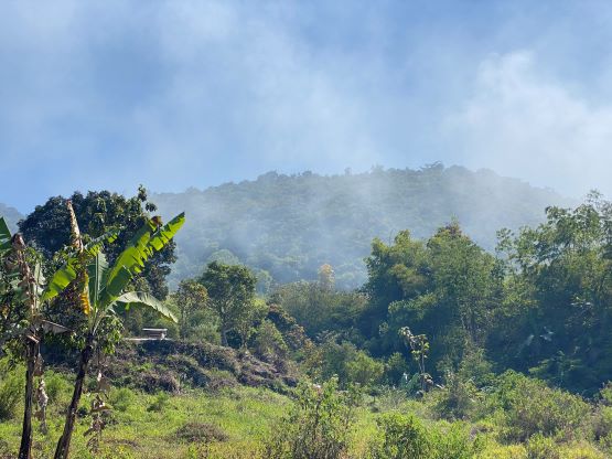
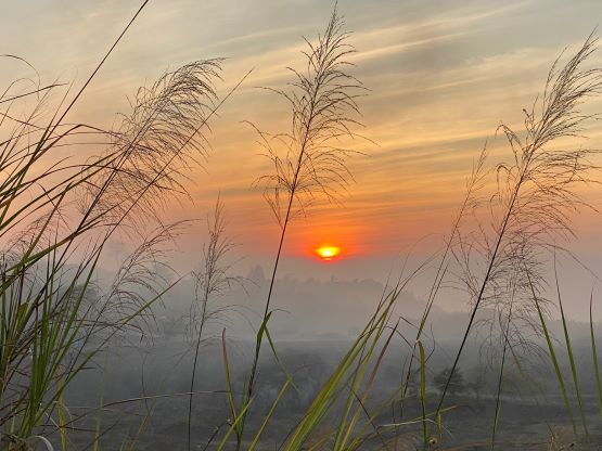
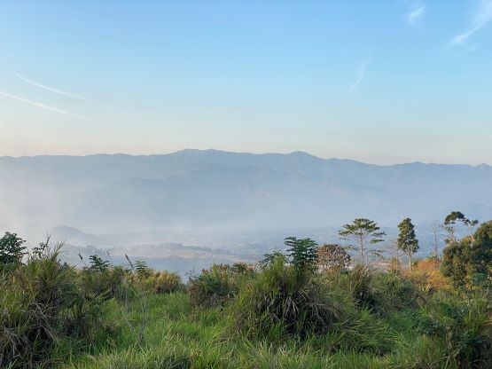
The driver showed up at 1:40 am so we departed on time. The 4-hour drive eastwards was easy in the morning due to the absence of traffic, that we arrived at the base of the route just in time for sunrise. I had been mostly sleeping on the backseats because that’s some sorts of specialty for me. By the time we got to the trail-head I felt rather fresh than exhausted. Adam was not so lucky unfortunately. We attempted to drive higher on the gravel roads but the vehicle was not capable that the wheels started to spin, so we gingerly turned around and parked at the traditional trail-head. There’s one massive garbage dump right beside the trail-head and it was on fire. They were burning a shit ton load of plastics. I don’t know if this is just the standard way in this country but I wouldn’t be surprised if all of the locals living at the base of this mountain would eventually die of cancer.
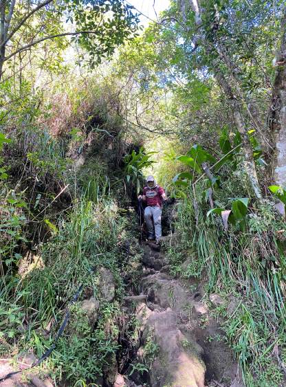
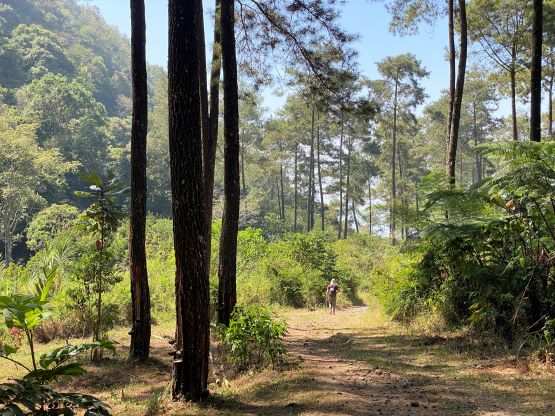
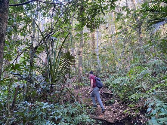
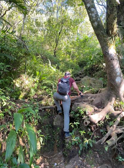
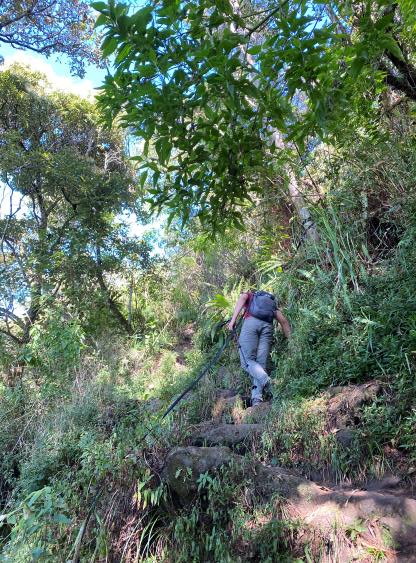
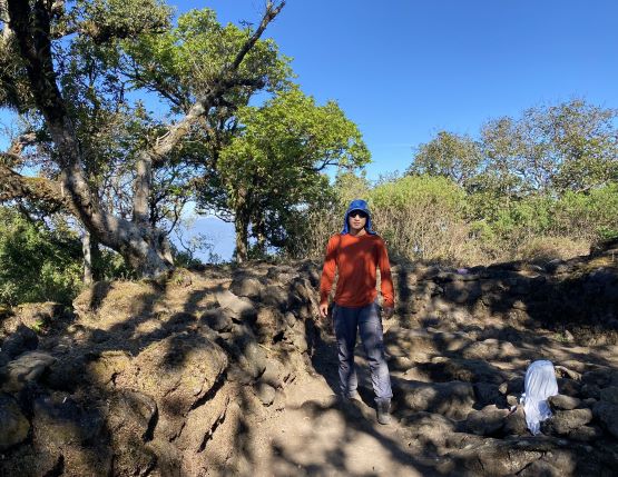
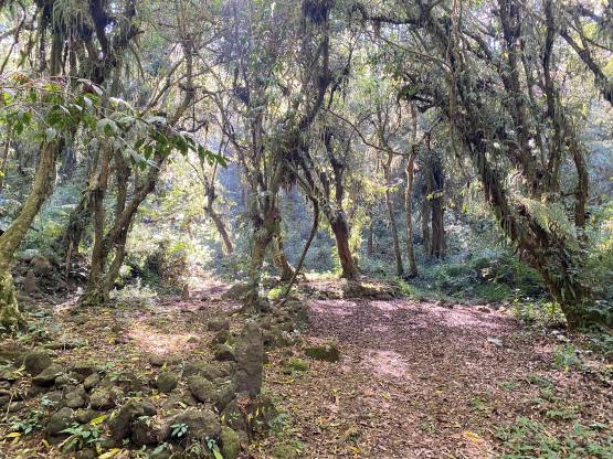
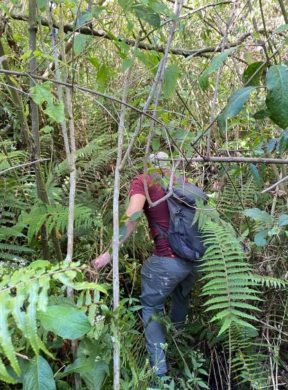
I did not bring a mask in this trip so we made sure to zip past this toxic zone at a fast pace. In a short while the trail brought us back onto the gravel road and we followed this gravel road for at least 1-2 km into the forest. The grade had been mostly gradual. Beyond one of the lower “pos” the road gave way to a proper trail. We thought the trail quality was amazing because we just came back from a week and half in Sumatra where we had to constantly deal with 3rd class scrambling on tree roots and mud steps. There was no mud in Java because it had not rained for two months. We did not start “scrambling” until the uppermost 200 m but even so, the difficulty was much easier than those peaks in Sumatra. Adam did hit his head on a tree and subsequently got bitten by a leech. I think we both let our guard down given the overall easiness of the terrain. The trail brought us to a large viewpoint which was one of the few contenders of the true summit. The trail kept going further, so we dived back into the woods and found another contender at the end of the path. There’s one more contour line on our topo maps, so we also thrashed a short ways eastwards to check out the third contender. The bushwhacking was horrible so we stopped once reaching a spot that can be defined as a “local maximum” in calculus. The conclusion was not decisive because the summit area is large, flat and forested but I think we could safely claim this peak. Most hikers would stop at the first viewpoint and call it good enough.


We took one more break at the viewpoint and then dashed all the way down to the trail-head in a single shot. The wind direction had changed that now we were directly attacked by the smokes from that garbage dump. The smell was horrible but I did not bring a mask so there’s nothing I could do. I soon found that the driver was not waiting for us at the trail-head but I found him a short ways down the road at the registration post. The registration was closed when we got here at 6 am, so we paid our belated fees and moved on. We made the spontaneous decision to grab Gunung Bongkok because we had enough time.