Mirnock
August 6, 2025
2110m
Villach, Austria
Mirnock is basically a glorified hill but boasts over 1300 m prominence and that’s the sole reason why Adam and I were considering it in this trip. There’s nothing fancy about the “ascent” via the standard route besides the toll booth of the access road. There’s only 500 m elevation gain required so we reserved Mirnock for a day when energy or time was lacking. This turned out to be the day after our Triglav’s ascent. A weather system blew in overnight dumping copious amount of rain to the Julian Alps but the weather forecast showed a clearing trend towards the later half of the day, especially further to the north. We could have driven farther but I had already decided that the following day’s objective would be Monte Mangart back in the Julian Alps, so Mirnock made the most sense.
Adam had reserved us a roadside hotel east of Klagenfurt so there’s fair amount of driving needed. While driving we pulled the spontaneous trigger to tag the P200m Pyramidenkogel which was a pure dumpster-dive that should not be recommended. The traffic situation was literally a circus up there and in the neighbouring villages so this side-trip took quite a while. This might not be a terrible thing because the weather was only going to improve. It’s also worth noting that this was our second “attempt” at Mirnock as the first time we blindly trusted Google’s direction and drove to a completely different trail-head. We didn’t waste the gasoline though, as we tagged Goldeck which had some nice views. This time we got to the correct road following Rob Woodall’s driving GPX track. The toll was 5 EUR which was rather cheap, but the booth only accepted coins. I thought we were screwed but by pure miracle I happened to have about 6 euros of coins. Problem solved. The road to the trail-head was unpaved but in good 2WD conditions. We had to park a short ways back due to private property issues but that’s fine.
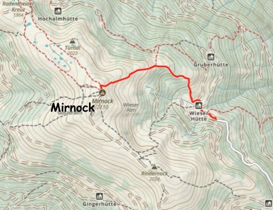
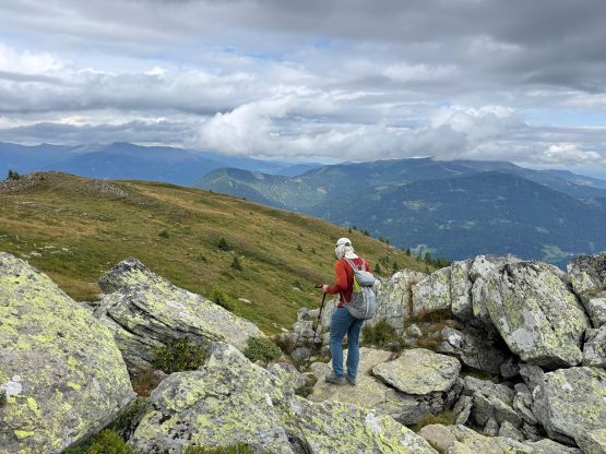
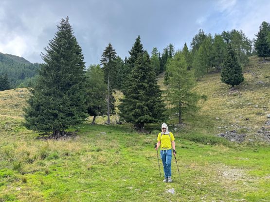
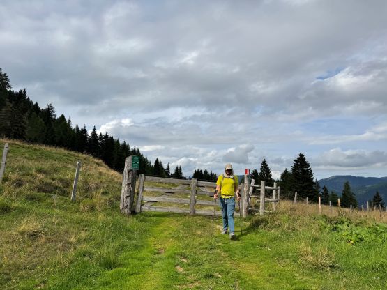
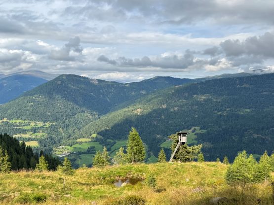
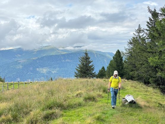
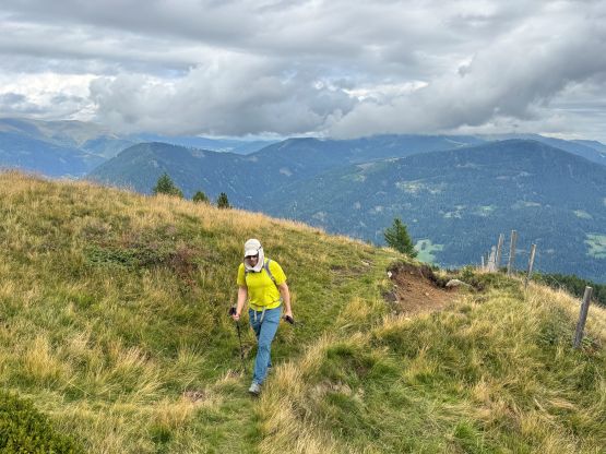
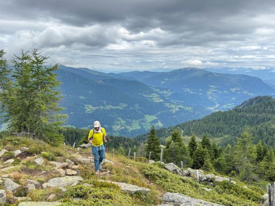
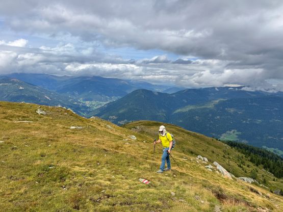
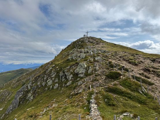
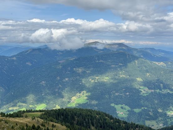
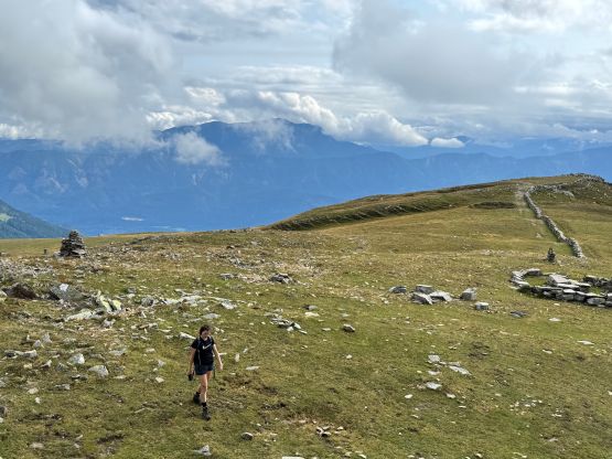
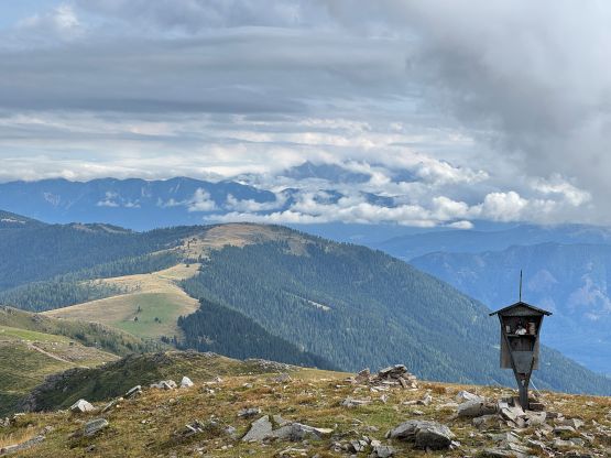
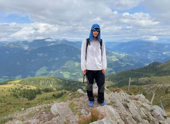
Between the two routes that Rob took we picked the northern route which was steeper but shorter. We were greeted by a barking dog while walking past the private property which I thought was not very cool. The trail was also more like a “route” as it’s very poorly defined in places, especially on the lower stretches. I had to consult with the GPX track multiple times to make sure we could stay on route. Elsewise the ascent was boring and uneventful. The weather was humid and the clouds were slowly clearing up. I stayed up there longer than Adam and got a few shots of the Julian Alps.
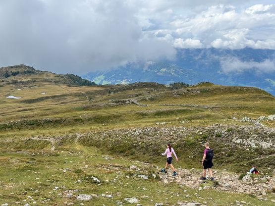
After having enough of the views I decided to catch up to Adam on the descent. There’s nothing worth noting and we were back to the vehicle in exactly 2 hours. I then immediately drove us down the toll road and then southwards into Italy and then Slovenia. The plan was to find a car-camping spot near the trail-head of Mangart. We did find one, and the position of that camping spot granted us another bonus P100m summit.