Planja
August 6, 2025
1552m
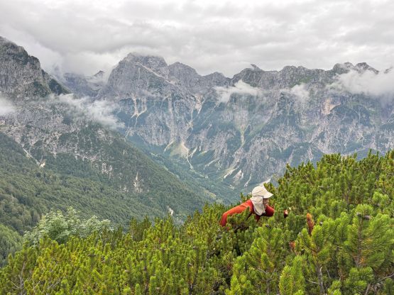
Bovec, Slovenia
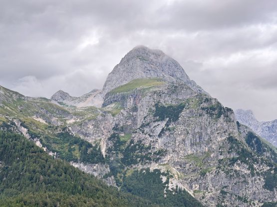
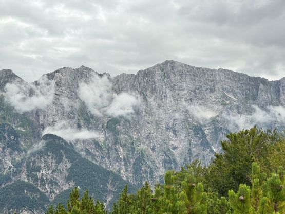
Planja boasts over 100 m prominence above the saddle with Monte Màngart, on the Slovenian side of the border but not far from Italy. This is a jungle peak that used to have a trail to the top. This trail is labelled on the Gaia map (hence why Adam and I went for it), but is unofficial and not maintained. There are several nicer viewpoints along the way but the true summit itself isn’t the prettiest so very few people actually venture that far up. Adam and I found ourselves camping right at the Planja/Mangart saddle and we still had energy to spare. Adam noticed this objective on his Peakbagger app while I suggested that we should tag it at 7 pm expecting a trail to the top.
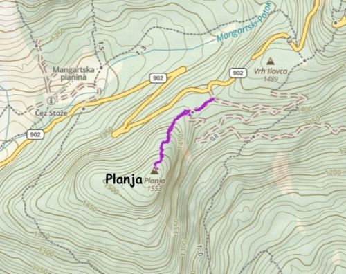
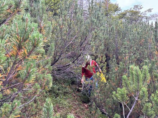
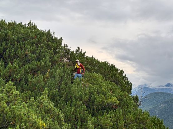
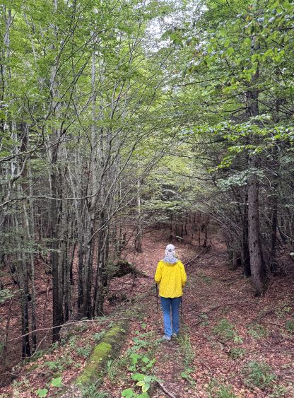
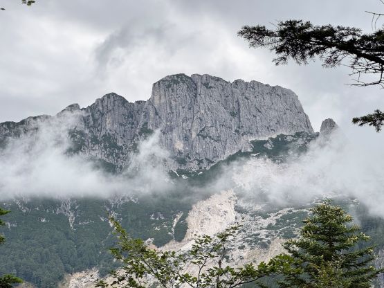
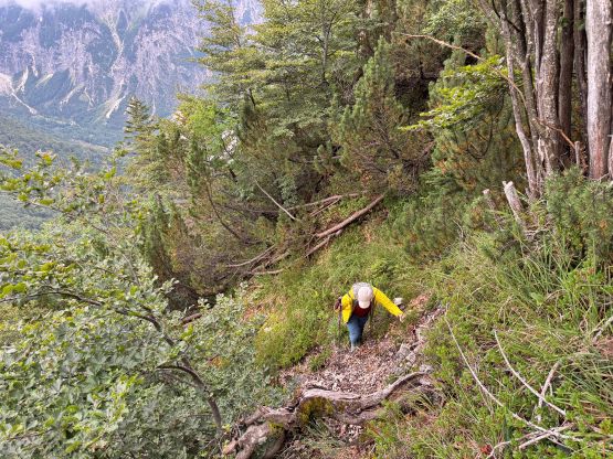
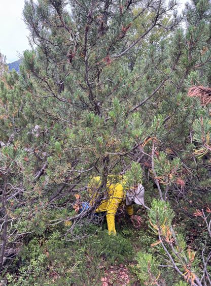
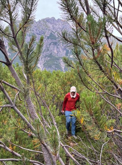
The start of the route follows a deactivated logging road but we quickly learnt that the expected trail might not be as good. The point where this trail was supposed to leave the road was unmarked and we had to wonder around for quite a bit to find the footbed. A trail did emerge higher up, but the quality reminded me some of the rougher hikes I’ve done in the Indonesian jungle. There were several muddy and slippery ramps and a lot of bushwhacking after passing the first (best) viewpoint. At one point we had to crawl on the ground like dogs as the bushes were too stiff to push around. It was also not very clear where exactly the true summit was, so we tagged at least two contenders with one having some views. But to get to the one with views there was more horrible bushwhacking…
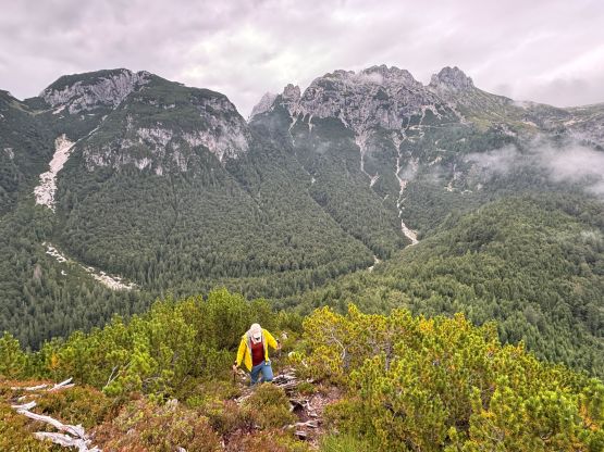
The ascent had taken longer than expected that it was now getting late. Both of us had opted to leave the headlamps (or the backpacks) in the vehicle so we must hurry up on the descent. We somehow avoided that dog crawling section but the bypass was not without notable bushwhacking. We managed the round trip in under an hour but this peak only involves about 150 m elevation gain. We got back to camp just before it was too dark to see, and hastily set up camp for the night. The main reason why we were here was Monte Màngart which we would climb on the next day.