Hochtor
August 30, 2025
2369m
Liezen, Austria
There are a few peaks named Hochtor so not to be confused with the others, this one is the highest peak in the Gesaeuse group in the NE Alps of Austria, and subsequently boasts over 1500 m prominence. The peaks in this range are rugged but Hochtor itself is non-technical via the south face. This is not to be taken lightly as plentiful 3rd class scrambling is required, and there aren’t as many “irons” on this route as some of the more popular climbs in the Alps. There are other routes but I didn’t bother to dig, as my objective as mostly to tag these peaks via their respective easiest way to prioritize on the efficiency. The weather forecast was calling for 80% chance of precipitation starting mid-morning so it was absolutely essential to get up and down this peak as quickly as we humanly could.
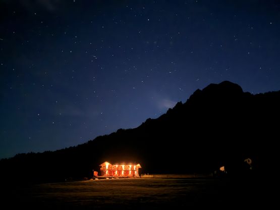
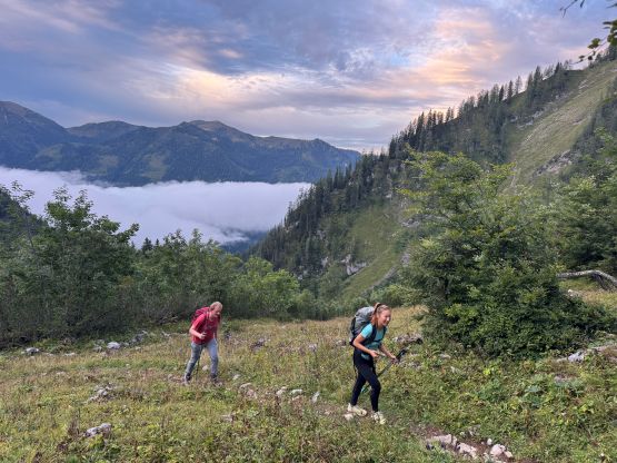
In the previous day Adam, Erica, Arjan, James and I completed an ascent of Großer Priel and then camped in the vicinity of Hochtor in two separate vehicles. I was originally thinking to camp at the trail-head for simplicity but Adam and Erica disapproved that idea, as the trail-head was busy and not sheltered from the vehicular traffics. I was not particularly keen on relocating since I had been driving for the entire day, so Adam hopped to the driver’s seat and drove us a short ways away onto some farmlands. The camping spot we eventually picked was very visible in the open, but was definitely quite. Minutes after erecting the tents we got hit by an intense thunderstorm with lightning strikes every 15 seconds or so for at least half an hour. I wasn’t sure if it’s even safe to be in the middle of an open field, but we desperately needed to sleep and didn’t want to go back into the vehicle. The thunderstorm passed and the sky was filled with stars by midnight. The plan was to start with half an hour’s head-lamp time, and not to my surprise, Adam bailed. James also pulled himself out for different reasons so it was only Arjan, Erica and myself starting.

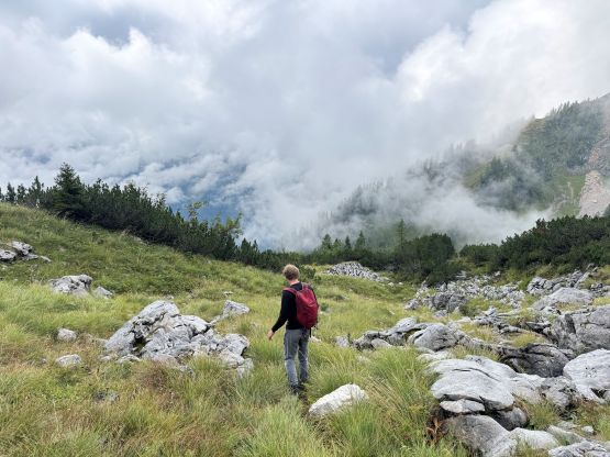
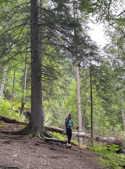
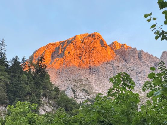
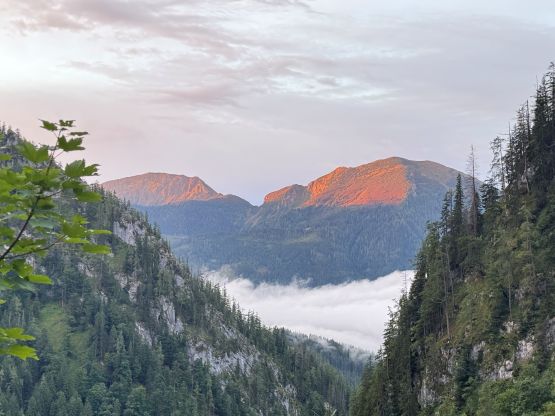
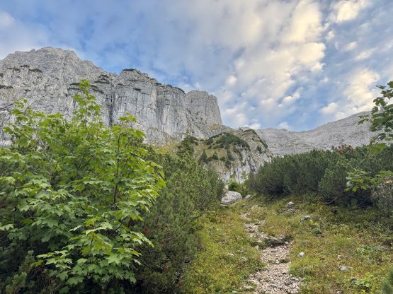
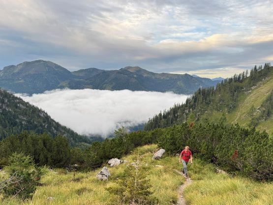
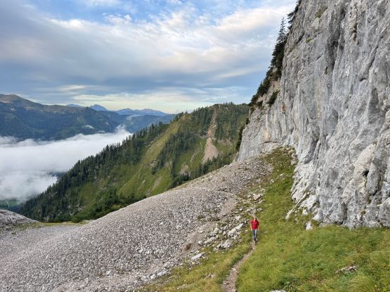
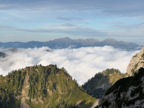
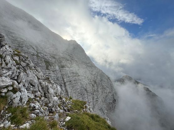
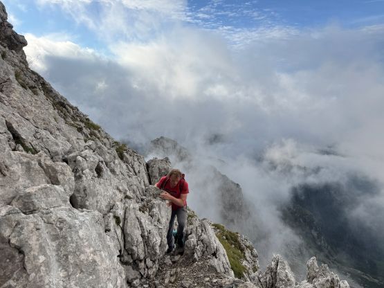
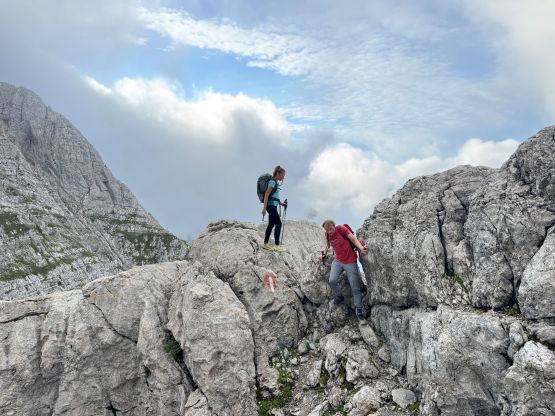
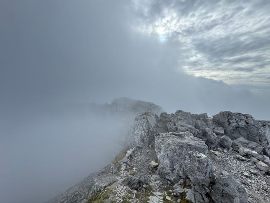
We again didn’t bother to attempt driving any higher than the official starting point even though I did think there’s a way or two to shorten things. We wouldn’t be able to gain much advantage anyhow. After a bit of descending we picked up the trail which brought us into the “lower basin” under Hochtor’s south side route. The weather was still promising but the clouds were starting to roll in. I honestly would prefer to start much earlier but I got outvoted. There’s not much worth documenting about the grunt onto Hochtor’s south ridge where the fun started. The terrain was steep faces made of limestone and grassy ledges. It was tempting to do some off-route scrambling but I quickly regretted after getting sucked into exposed and loose 4th class terrain. We then stuck on the correct route and paid a lot of attention in route-finding. We were able to keep the grade at or below 3rd class but unfortunately the clouds had fully engulfed in such that we didn’t get much view from the top.
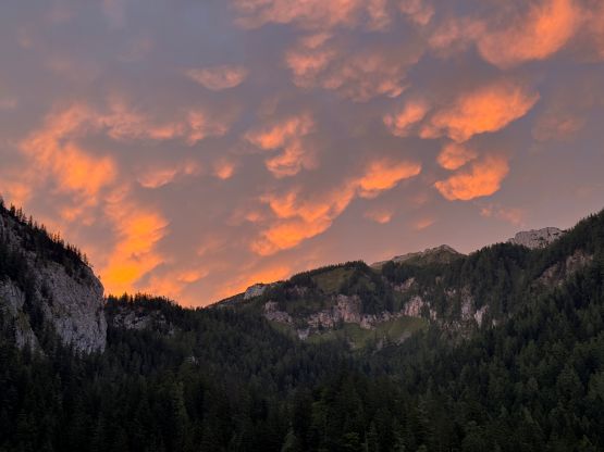


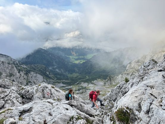
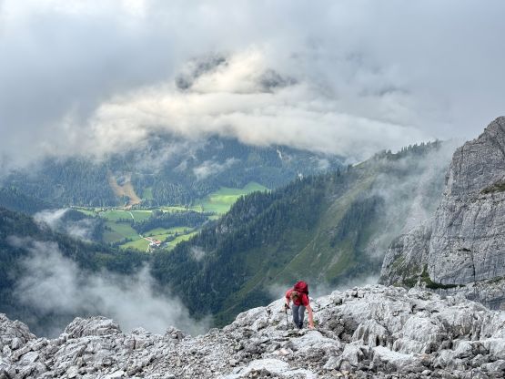
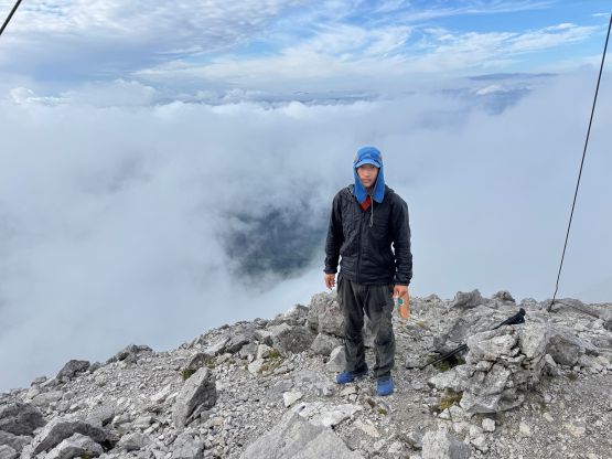

Due to the concern of the weather Arjan opted for a head start on the descent. Erica and I lingered on the summit for 15 more minutes because we were faster. We caught up to Arjan about halfway down the south ridge scramble and then descended together as a team afterwards. The rain held off for us for the entire outing, which was really to my surprise. I need to stress that the weather had been extremely unstable in these days such that most areas in the Alps were under severe thunderstorm and rain warning. We picked the only area without thunderstorm warning and the forecast was still calling for 80% precipitation. To be successful on an “ultra” in this kind of weather was definitely not guaranteed but success was 100% not possible unless we tried. I deeply believe that it’s often important to stick your nose into the objective and only worry about things one at a time without putting too much stress on the bigger picture, and sometimes luck could be on our side. The rest of the day was then spent driving towards Birnhorn but since we had the majority of the day to kill, we decided to tag Rossbrand and Gaisberg, the two drive-up objectives.