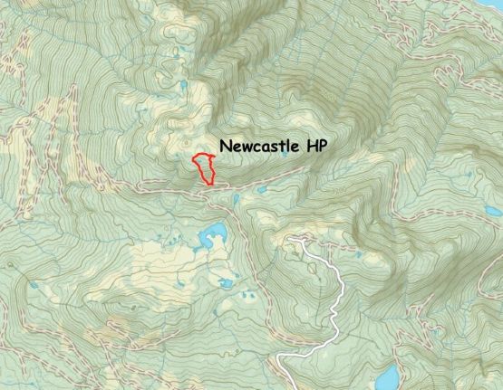
Newcastle Ridge High Point
June 8, 2025
1342m
Vancouver Island, BC
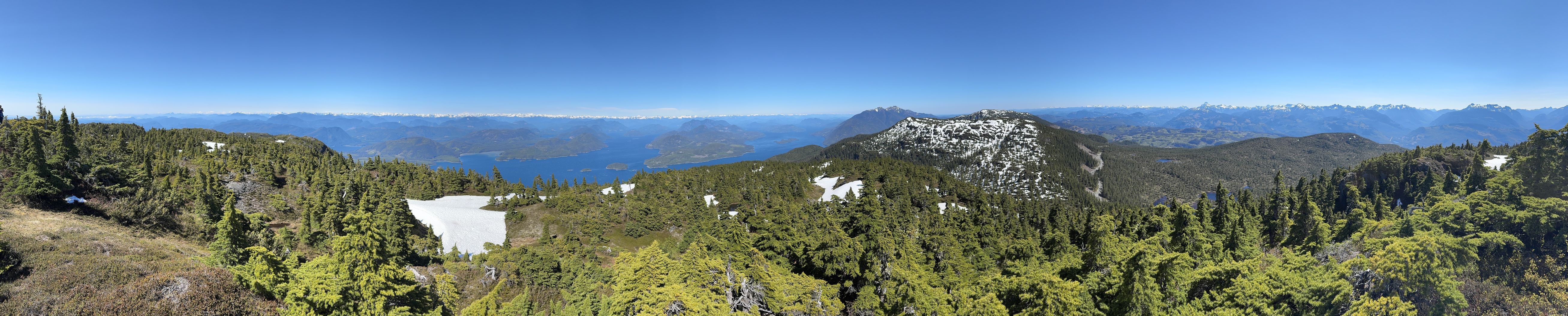
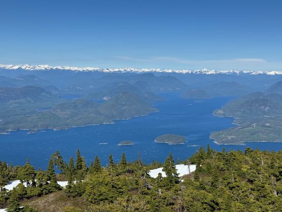
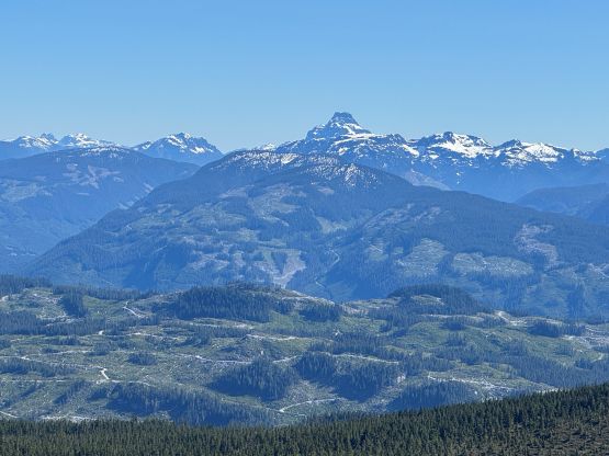
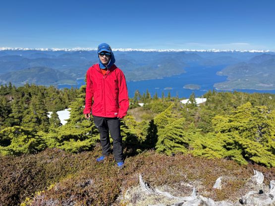
Newcastle Ridge is a large wooded area to the west of Sayward on the northern Vancouver Island. There are three distinct high points and the highest one, which is on the northern end of the ridge, boasts over 1000 m prominence. This is arguably one of the easier, if not the easiest P1000m objective on the island as the ascent is almost a “drive-up” nowadays. The logging roads had been pushed to within 150 vertical meters from the summit on the south side and these new roads are recently updated on the Gaia map, making the navigation as easy as one could ever expect. Nevertheless Matt Juhasz had published a driving GPX track on peakbagger.com for those not having the Gaia app. I had been thinking about this objective for a while and my original plan was to tag all three summits for completion purposes but I ended up only doing the north peak due to time constraint. I was satisfied nevertheless.
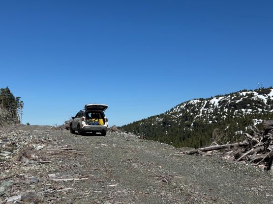
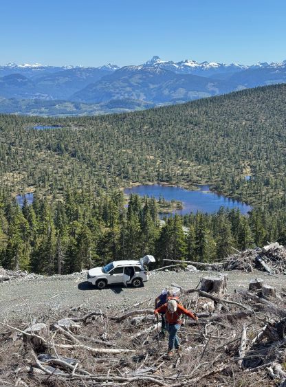
After completing Mt. Menzies with Kelly, Adam and Dave I thought we had enough time to pull off a secondary objective. The constraint was to get back to Campbell River to catch the 9:50 pm ferry to Quadra Island so with some careful calculations we decided to make an attempt on the Newcastle Ridge’s highest point. We weren’t very confident on the snowline elevation so if we ended up having to walk more than a few kilometers each way on the FSRs then we would turn around and call it a day. The snowline turned out to be much higher on Newcastle Ridge than on Mt. Menzies, that even the hiking portion was already dry. The road system following Matt’s GPX track was getting progressively rough but did not impose any issue to the Subaru until the very end. After scrapping the bumper crossing one enormous ditch I turned around and parked on the highest spur, only 200 horizontal meters from the absolute road’s end. Kelly had already done this peak so sat in the car to watch for our belongings.
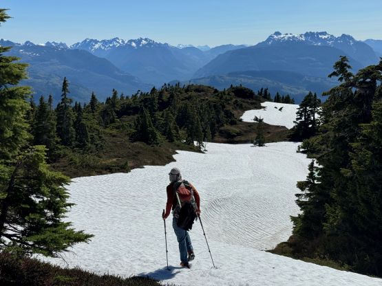
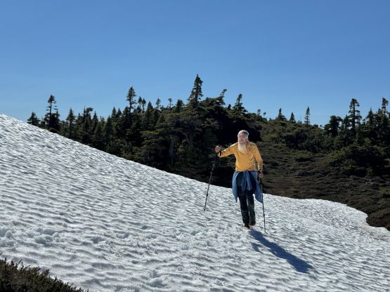
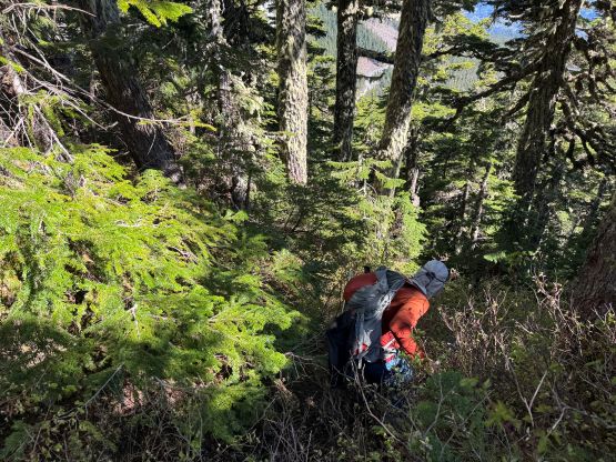
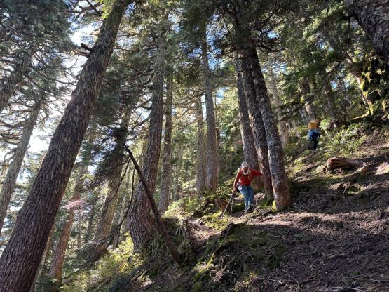
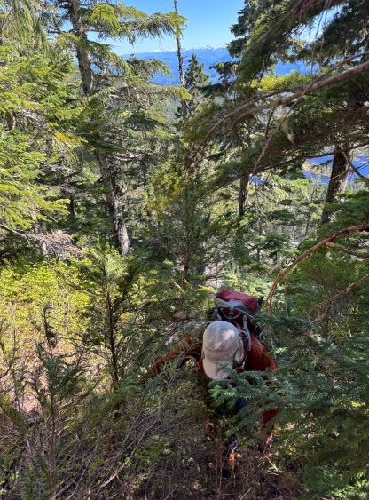
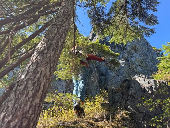
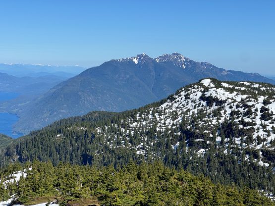
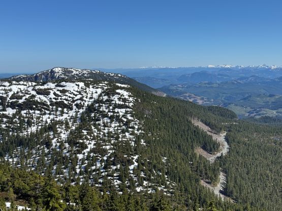
Dave and I opted to carry absolutely nothing besides a jacket. It was howling in the alpine so we didn’t want to freeze to death. The entire route appeared to be free of snow, so the boots, ice axes and crampons stayed in the vehicle. Adam still decided to wear his boots for the steep bushwhacking but I thought the trail runners were more than enough. Matt’s route was “the route” on this peak but I wanted to do my own route by aiming directly towards the highest point on the eastern end of the plateau. This route, though direct, involved some heinous bushwhacking so I would not recommend it. It was also unrelentingly steep, to the point that Adam volunteered to lead us down following Matt’s GPX track on the descent. The topographic map was incorrect about the location of the true summit. The eastern high point is definitely the true summit. Andy M. from Arizona had even made a hand level survey so I trusted the result. The difference was obvious enough that we didn’t even bother to visit the western high point “just to be sure”.
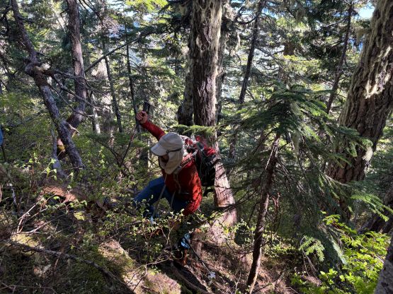

As discussed earlier we would take Matt’s route on the descent but since it was Adam’s idea we would let him lead the way. For once I could simply follow behind and not worrying about holding a phone checking the GPS screen while bushwhacking. The route didn’t seem to be any easier at the beginning but within a few minutes we entered the open forest. It was then a smooth sail down to the cut-block. The logging slash was never fun to negotiate but any route on this objective would involve that so there’s no notable difference. We finished the round trip in under an hour and then immediately drove away. This time I did not scrape the bottom of the Subaru crossing that troublesome ditch. We eventually got back to Campbell River with more than enough time to have a proper dinner and some grocery shopping. The objective for the following day would be Mt. Addenbroke, the highest point on East Redonda Island.