Mount Parker (Penticton)
April 28, 2024
1424m
Penticton, BC
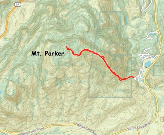
Not to be confused with Mt. Parker in the “East Harrison” area, this one is to the SW of Penticton and boasts much more significant prominence (just under 600 m). There weren’t a ton of “beta” on the internet except for the few selected “trip reports” published on peakbagger.com. I evaluated the few options and eventually decided on Simon’s eastern approach from the end of Uplands Drive. It sounded like trespassing would be required no matter what but I couldn’t come up with an obviously better solution. The lower flanks of this mountain is more or less all on private lands. Kate and I were looking at doing a small road trip towards Penticton to escape the dreary weather and the primary objective would be Mt. Parker. I decided to go for this one first as the weather was supposed to be the nicest in the morning. We left White Rock at around 9 pm after work and arrived at the base of the mountain about 4 hours later. I couldn’t figure out the best spot for car camping and eventually decided to just drive to the end of Uplands Drive to scout things out. There’s enough space to park a few vehicles but this pull-out was right next to someone’s house, but nevertheless we camped there. This meant we wouldn’t need to relocate ourselves in the cold morning.
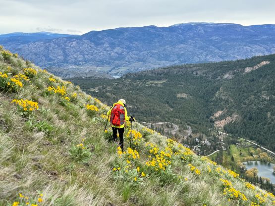
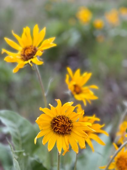
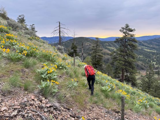
I was planning to start hiking with head-lamps on but we were extremely tired and opted to “sleep in” till 6 am. This meant we got up right when the house owner’s vehicle drove by. What seemed like an old lady in the vehicle did give us a weird look but did not bother to fuss around. There’s one mandatory barbed wire fence to hop across that was not far from the “trail-head” and another one higher up that we managed to avoid on the return, but there wasn’t any obvious “no trespassing” or any sign that indicated we were on private lands. The grass on the other hand, was saturated thank to the recent dump of precipitation so this was going to be a wet hike. Thankfully the wetness did not persist once the steepness kicked in. The terrain sort of forced us to stay on the climber’s right side of the gentlest way so the grade was relentlessly steep for at least a few hundred meters of elevation, but the wild flowers were really blooming. Kate thought I on purposely planned this trip to see the flowers but that was just a pure coincidence.

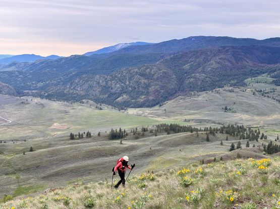
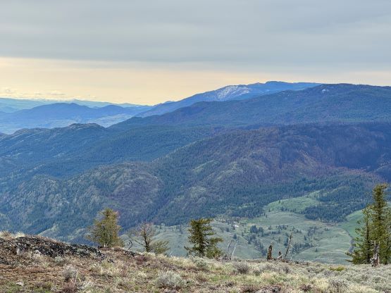
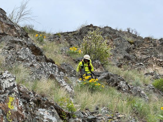
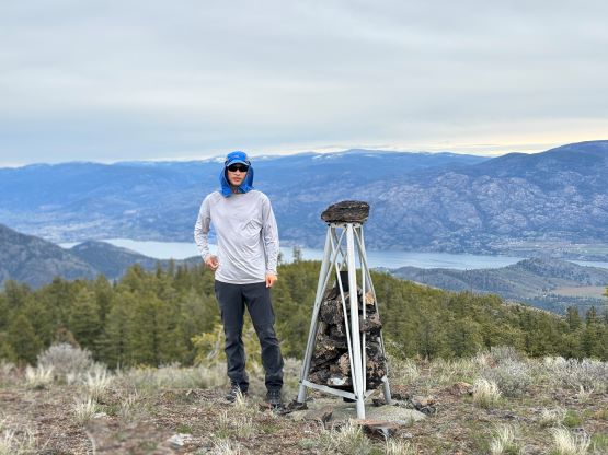
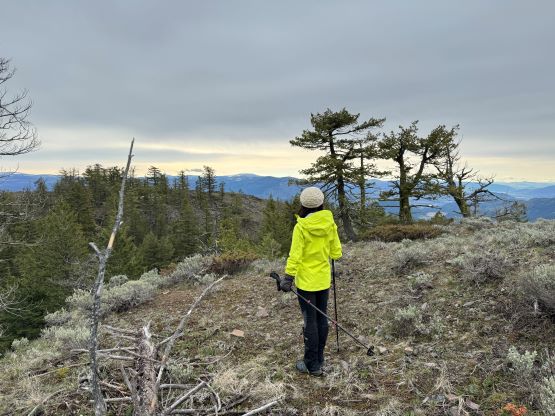
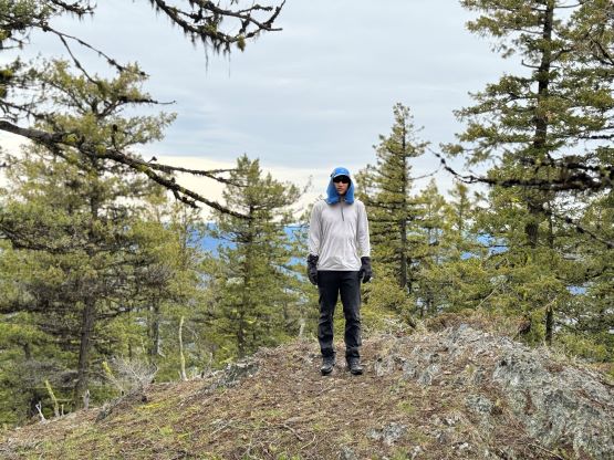
At around 1100 m the steepness finally tapered off but then we had to traverse over a few annoying bumps with some bushwhacking required to cross a few ravines. For the final summit push I decided to contour around to the SE Ridge since that side appeared more open on the satellite images, and this plan worked out reasonably well. The side-hilling was not as steep as I thought, and actually did not require much notable elevation loss. We then easily ascended the SE Ridge to the false summit where the views were the best. The traverse to the true summit was a bit annoying with some up-and-downs and the highest point was completely forested with no view. We tagged at least one other contender to be 100% sure, and then slogged back up to the false summit to take that much-needed break. The winds were brutally cold so we couldn’t stay there to enjoy the views unfortunately.


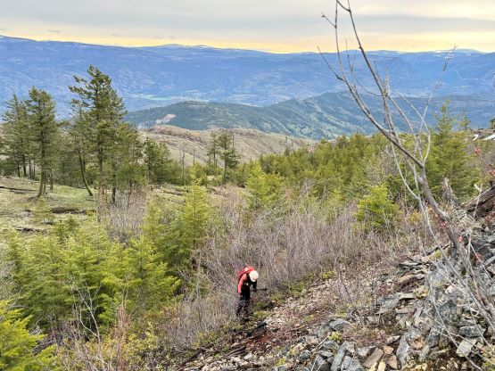


On the descent I led us staying more on the skier’s right side of the ridge to bypass a few unnecessary bumps back along the ridge, and then more on the skier’s left side once dropping onto the steep, lower slopes. This led us bypassing that second barbed wire fence. We made good time and finished the round trip in 4 hours 10 minutes. The elevation gain for this objective was around 800 m. We then immediately moved on towards the next objective, “Cringe Peak”.