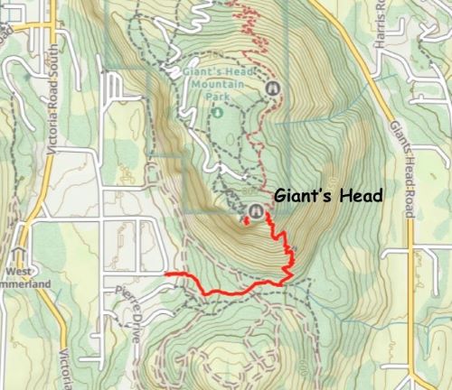
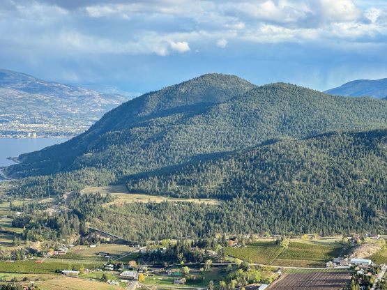
Giant’s Head
April 28, 2024
937m
Summerland, BC
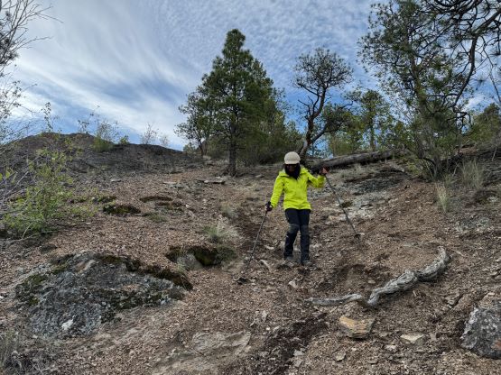
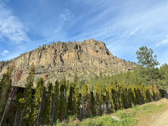
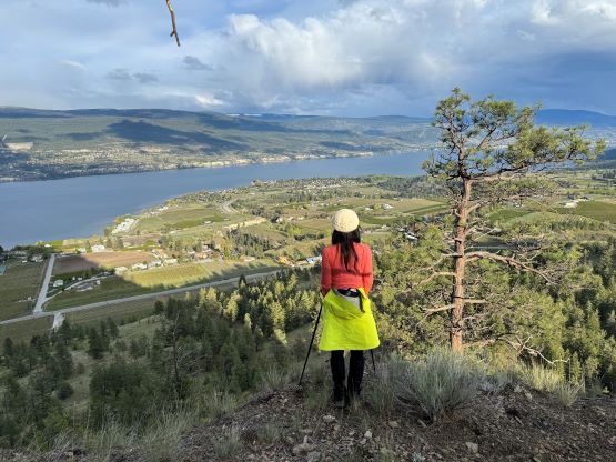
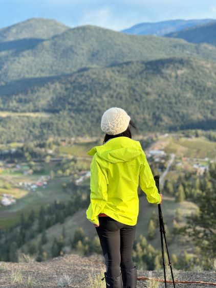
Giant’s Head is a major landmark of Summerland in the middle of Okanagan Valley. There’s a road to the top and thousands of tourists come to visit every year in the prime season. The road is however, gated at night and on Sundays. Kate and I had already bagged 4 peaks earlier in the day and we only had about 2 hours of daylight time left. I suggested that we should drive at least halfway up the mountain to lighten our loads but we discovered that the road was not open on Sundays. This was actually good because then we would have to earn the entire elevation profile (almost 300 m gain) and we wouldn’t be seeing zillions of tourists up on the top. To do this peak on foot it’s shorter to take the south face (unmaintained) trail as that side gives a more direct attack. The north side trails are easier but much longer.
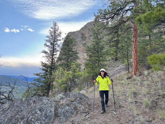
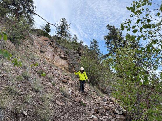
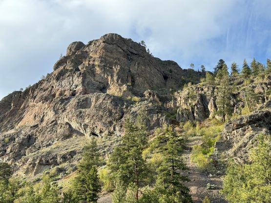
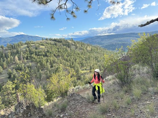
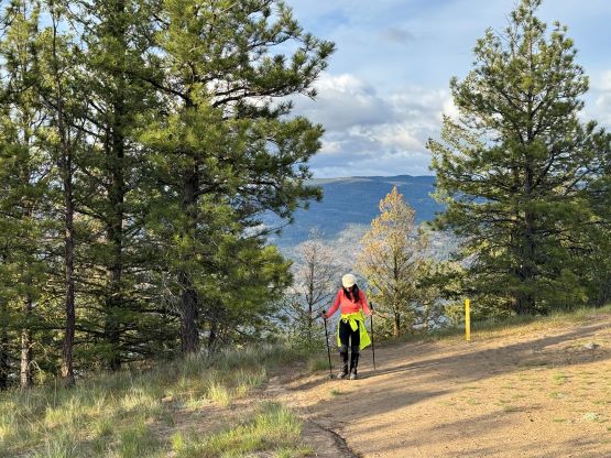
I drove us to the end of Alder Street and parked the vehicle. There wasn’t a signed or designated parking lot but there was plenty of space to park. We then dashed up the trail to the broad saddle between the main peak and the southern bump but the climber’s trail up the south face was not obvious. We did find the trail after consulting with the GPS maps and it appeared to me that the “officials” had deliberately erased the start of this trail to prevent incidents. I considered this trail to be rather “technical” for the averaged tourists as the trail bed was very loose at places. There were also some junctions and branches and none of them was signed. We nevertheless dragged our tired selves to the top and were joined only by a teenager girl that came up from the north side for exercise. That girl only stayed on the summit for at most 1 minute before jogging back down so she’s probably from the local areas.


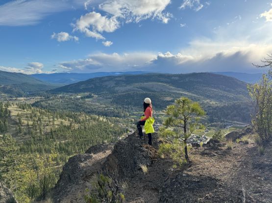

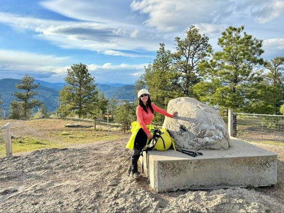


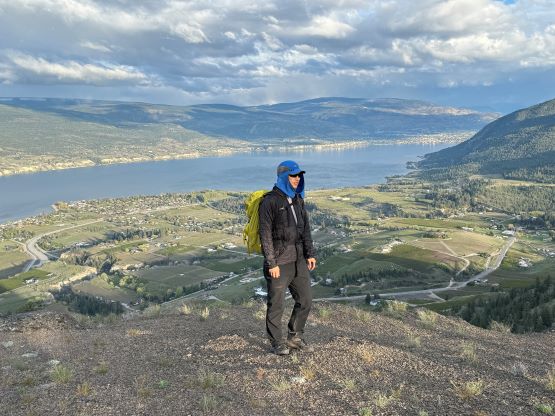
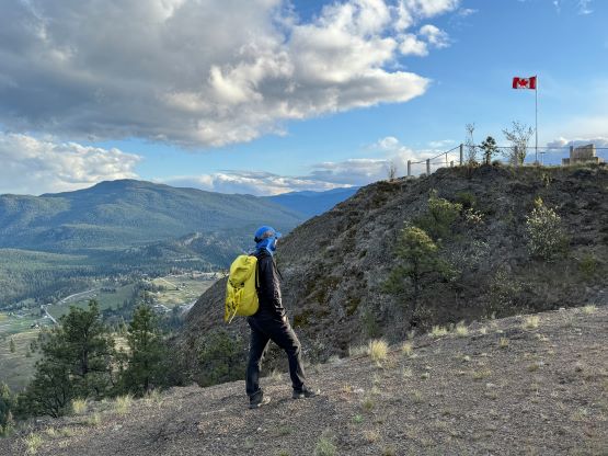
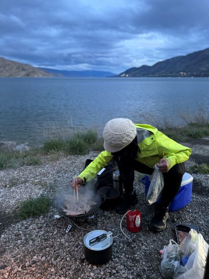
Kate and I stayed until the cold winds picked up again. There’s a band of dark clouds to the west so I estimated the sunset to be rather “averaged”, so we reluctantly descended. There’s not much worth noting about the descent. For the five peaks combined we had gained over 2000 m elevation so we were quite tired. We then drove to a random beach near Peachland for dinner (barbeque styled), and then drove another half an hour northwards to the vicinity of West Kelowna to settle for another night of car-camping. On the following day we would bag a peak in the morning and then rush home for my work in the afternoon.