Ameringkogel
July 31, 2025
2187m
Austria
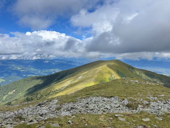
Ameringkogel, one of the easternmost Ribu “P1000m” objective in Austria is an uninspiring and undulating ridge with lots of bumps. Adam and I noticed this peak purely because of the prominence but we didn’t quite like the way everyone else (Rob, Deividas etc.) took. I studied the maps carefully and noticed a hut (Weissenstein Hut) on the SW side near treeline and a quick search on Google Map showed that we could possibly drive to the hut. If we were able to start the hike from this location then we would shorten Rob’s route by 50% for the least. We had just finished the nearby ultra, Zirbitzkogel so we were hoping to spend at little energy as possible. I thought those backroads are most likely gated as otherwise why no one else took this much shorter route, but they weren’t. There are a few gates but they were all open and there was no aggressive “no trespassing” kind of signs.
The Gaia map wasn’t very clear as they showed “too many roads”. Adam was more patient in looking at the satellite images whereas I decided to simply let Google Map do the job. We were only half an hour away from Ameringkogel’s various “trail-heads” so we might as well started driving. It turned out that Google Map didn’t quite know the area but their suggested road worked. After passing two open gates the road deteriorated to what I would call “easy 4×4” conditions. I had plenty of off-roading experience so was able to drive the rental 2WD up. The undercarriage got hit a few times and the road became mildly bushy but we encountered no obstacle that could stop the upwards progress. Google Map directed us to the spot 100 vertical meters underneath the hut but by traversing NW (while descending) we were able to connect to the hut’s access road. That road was in a better condition so we took it on the return and recorded the driving GPX file as well. We had no further issue driving to the hut. There were already a few cars parked there but we encountered nobody. We could smell delicious food that was being prepared inside the hut, though.
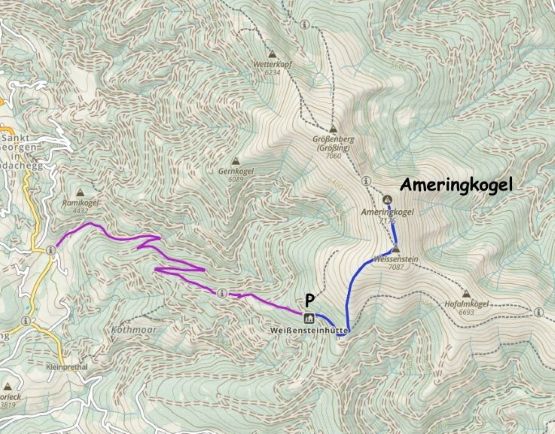
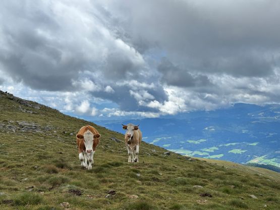
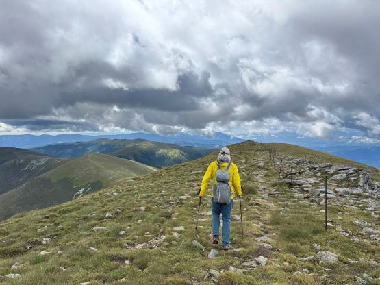
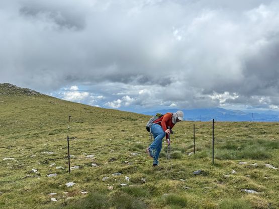
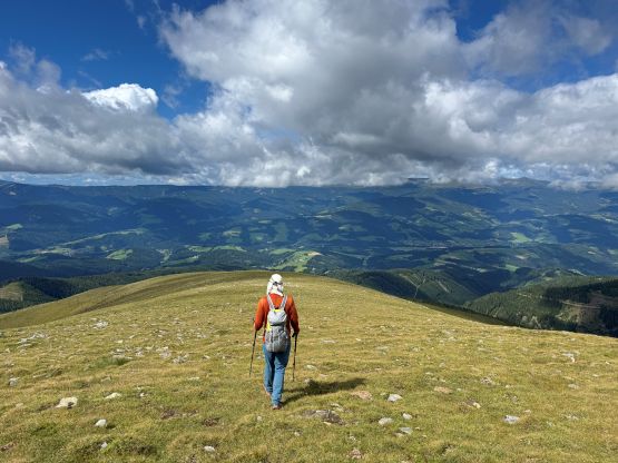
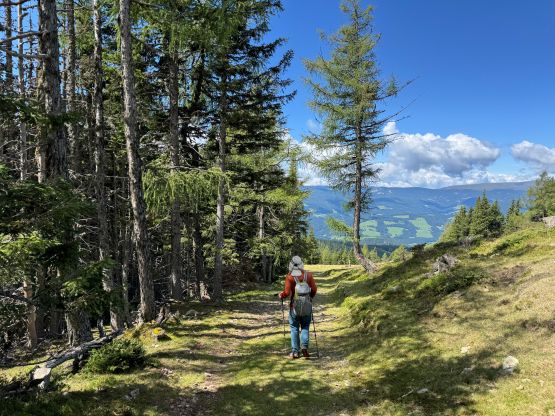
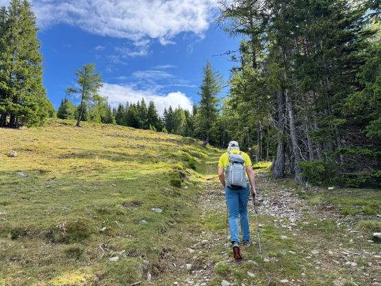
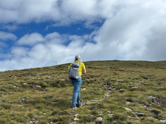
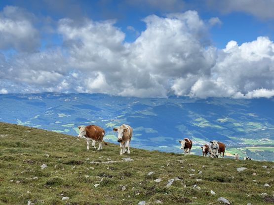
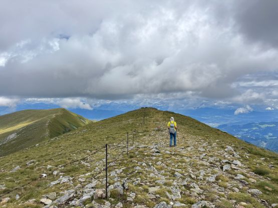
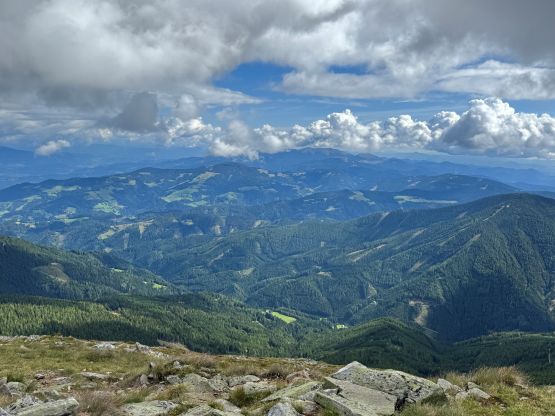
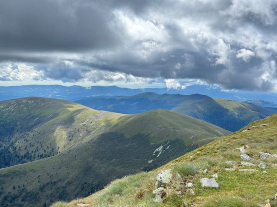
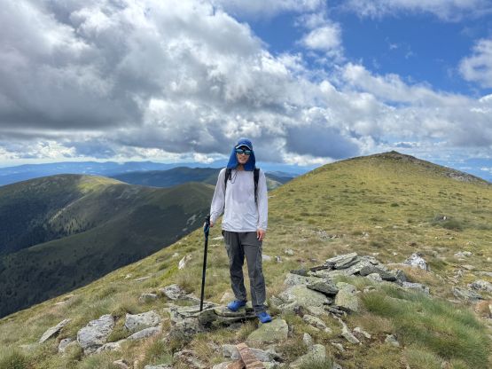
The part of the road beyond the hut was gated so we definitely couldn’t drive any higher. After about 500 m we left the road and ascended climber’s left, and quickly located the trail marked on the Gaia map. This trail ascends the spine of the SW Ridge to “Weissenstein”, the P10m southern sub-summit of Ameringkogel. The terrain and landscape was definitely more Scottish than Alps but that was to be expected as we were only in the “foothills” of the Alps. The well-marked trail eventually disappeared in the open country. After hopping across one barbed wire fence we got onto the summit ridge. The true summit of Ameringkogel was further than expected. There are two contenders. We ascended both of them but I was quite sure that the southern (closer) one is higher. A bunch of healthy looking cows were following us towards the summit. They weren’t seem very happy that we didn’t feed them any food.

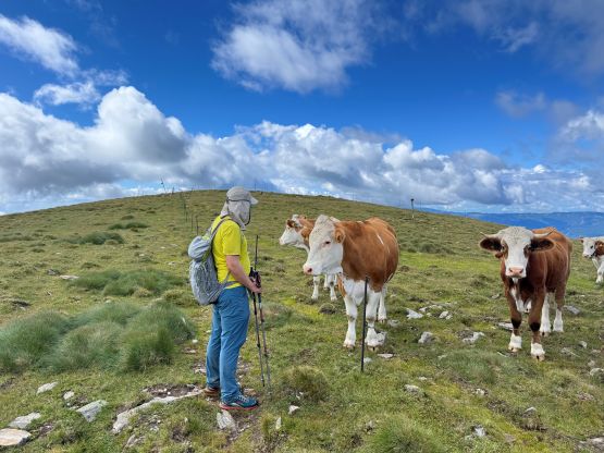
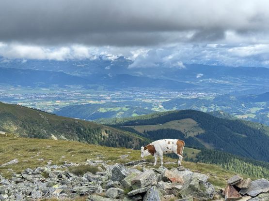

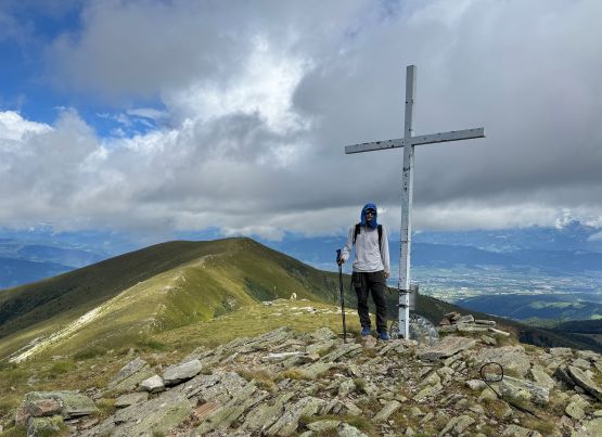
The clouds were building up quickly and there were thunderstorms in the forecast so we must hurry. We quickly traversed back across the summit ridge to “Weissenstein”, hopped over the barbed wire fence and descended the same route that we had taken on the way up. The cows were not very happy about us but we had to leave them alone. The weather was actually not too bad and it had become sunny again after we lost some elevation. Our round trip time was just over 1.5 hours. While driving out I decided spontaneously to explore the road leading directly down from the hut and this road turned out to “go”. It was still very steep and a bit rough at places but overall I think it’s easier than the one we took on the way in, so I recorded our (descending) driving GPX track for future parties. The day was still young but I wasn’t quite sure what else could be bagged given the questionable forecast, but since Grintovec would be the objective of the following day we decided to drive south and make decision along the way.