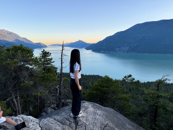
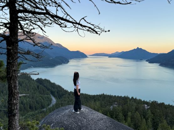
Watts Point Summit
July 5, 2024
280m
Squamish, BC
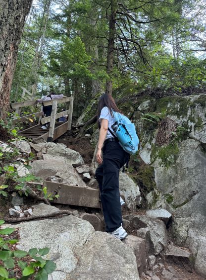
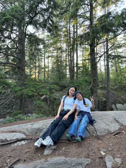
The high point above Murrin Park boasts over 100 m prominence so qualifies as an independent summit, but it is very lowly compared with the giants around Squamish. There is no official name but it seems like most peakbaggers call it “Watts Point” or “Watts Summit” but it is also referred as “Jurassic Ridge” on some sources. In any case the entire hill is riddled with trails and rock climbing walls and the loop over the summit is a very easy and popular hike. I had been saving this objective for someday when I wanted to introduce new hikers into the game and that oppourtunity finally came. Candy and I had some connections in White Rock but she’s never done a hike in B.C. yet. I wasn’t even planning to bring her out for a hike but we somehow lined up our time on this past Friday, two days before I’m leaving for the international trip. I had to change the itinerary from morning to the evening due to another trip planned in the morning, and she also managed to tag a bunch of friends and kids along for the ride, so we had a total of 9 people in 2 vehicles. I did not know any of those people beside Candy so it could be a fun little experience. The plan was to do the loop hike around sunset hours and I brought both of my head-lamps just in case.
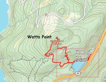
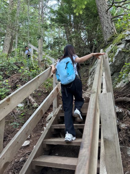
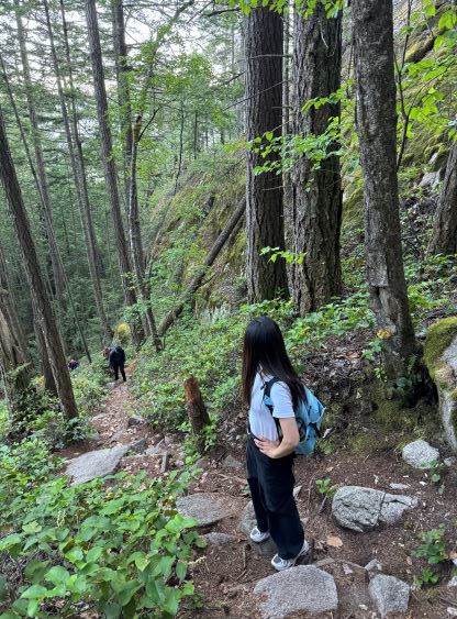
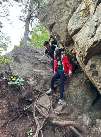
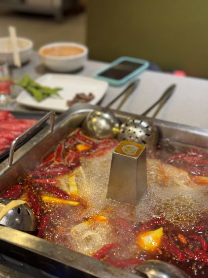
I was picked up from home at 5:40 pm and we were on the road shortly after. The traffic through Vancouver area wasn’t terrible, that we did eventually get to the trail-head at a reasonable hour. Of course we could not start right away due to the number of people but we had illumination so I couldn’t care that much. The later the better the lightings would be anyway. The hike itself was trickier than I thought. While the statistics couldn’t suggest much, the trails were the typical North Shore’s type, that anywhere steep was made of roots and rocks and sometimes we had to do some scrambling or even with fixed ropes. We went to the summit first and then descended the scenic SW “Jurassic Ridge” after sunset, and had to pull out the head-lamps for the final 20 minutes. There were surprisingly lots of GPS checking to make sure we were on route. We did not finish the hike until 10:30 pm and most of us hadn’t had dinner yet. I suggested to aim for hotpot in Richmond which would stay open until 5 am in the morning. The food was excellent but I did not get home until 1:30 am, and subsequently only caught a few hours of sleep. I had to wake up at 5 am for the next trip.