Van Zandt Dike
September 16, 2025
679m
Acme, WA
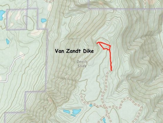
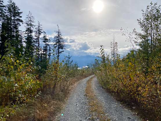
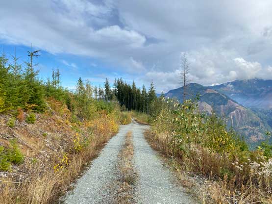
Van Zandt Dike is a large forested plateau on the immediate east side of Highway 9 between Deming and Acme and this entire plateau is riddled with old and new logging roads. These roads aren’t gated and extend to very much the various high points. There are two contenders for the true summit about 2 km apart. It was originally thought that the southern top was higher but LiDAR survey in 2024 measured the northern top to be 1 m higher. I unfortunately had made an ascent of the south top in 2022 so Van Zandt Dike became one of the several peaks that I “lost” due to the survey. For future parties this result is good thing because the south summit requires some substantial amount of bushwhacking whereas the north summit is a pleasant hike in open forest. I eventually came back to reclaim this peak by ascending the north summit in 2025. The crux is by no doubt to figure out the driving direction. Back in 2022 these roads weren’t labelled on the Gaia map and were somewhat incorrectly labelled on the USGS Topo. I think those official maps were outdated. The best tool to navigate this maze was actually the satellite images. There were several trip reports on peakbagger.com but none was detailed. I made sure to have downloaded all three map layers and the plan was to figure out the direction in situ. Now in 2025, the Gaia map had updated the road system so the navigation was much simpler. I nevertheless downloaded Eric Noel’s driving GPX track and that was more than enough to get the job done.
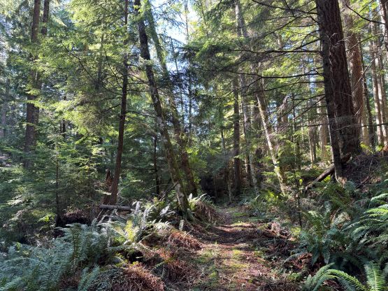
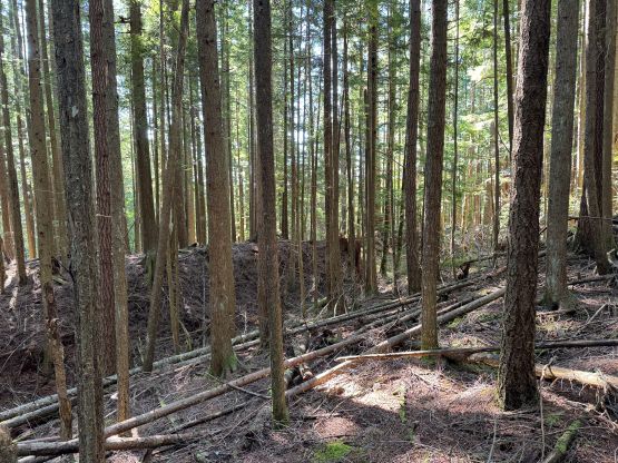
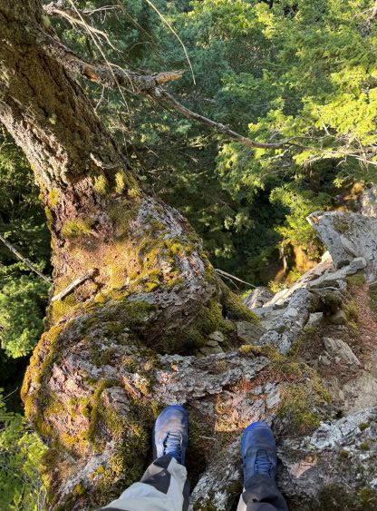
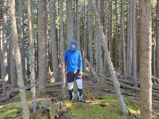
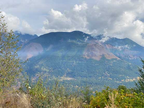
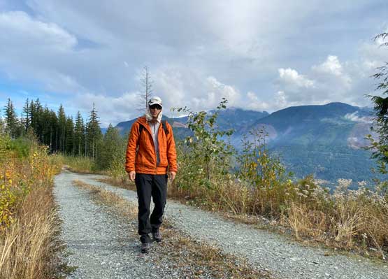
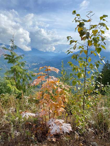
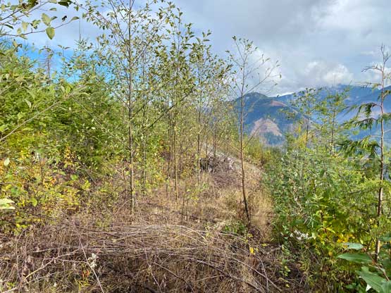
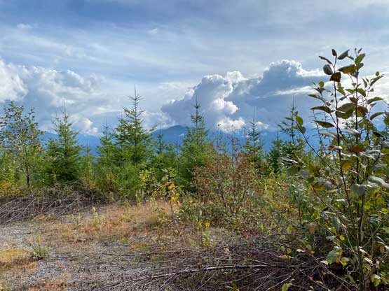
I did some math and figured I didn’t really need to get up early at all. I leisurely woke up at 8:20 am and left home an hour later. The drive to Mosquito Creek Road would take 1.5 hours and the border crossing was not a big deal with the NEXUS card. The FSR driving was longer than I thought but at least the road condition was good. The road imposed no problem to the Subaru and I actually thought I could have driven the Corolla all the way up there, if I had to. I did see the “area closed” sign as mentioned in one of the earlier trip reports but nobody was around on this Tuesday. I did find numerous flagging tapes so it’s possible that the industry’s about to log the area soon, so get it while you can. There’s a good trail heading north from the parking area so I followed it until 200 horizonal meters from the highest point. I then dashed across the open forest for the true summit. There were some pick-up sticks and at least 3 or 4 ravines, but nothing really worth noting. The true summit is on the edge of a bluff with some exposure and some glimpses of views. Overall this is a much nicer hike than the south summit.

Below is the original trip report of the south summit in November 2022:
I made this spontaneous decision the night before as I only had half a day available to do anything. I was exhausted at work recently so driving far, car-camping or making an all-nighter push was not part of the consideration. I didn’t even bother to set up an alarm so didn’t wake up until 9 am and subsequently didn’t leave home until almost 10 am. Thankfully Van Zandt Dike is not too far from White Rock and is mostly a drive-up so I could still get back home in time for the 3:30 pm work. After the usual border and gas routine I made my way eastwards down some countryside roads to the small community of Acme. From there I turned onto Mosquito Lake Road and then turned onto the signed logging roads. I navigated the maze of logging roads using a combination of the USGS Topo and the satellite layers. The USGS Topo was pretty outdated. I made one error and that’s because I put too much fate on the government’s topo maps. To avoid making any more mistake I simply controlled the wheel in one hand while holding the phone’s satellite GPS screen on the other hand and that got me to the highest logging spur near the summit. I opted to park and walk the final kilometer on the road as I didn’t want this outing to be a complete motorized ascent.

This ascent turned out to be harder than expected. A spur road was shown to extend all the way to the true summit according to the topo map but that spur was deactivated, overgrown and does not extend to the highest point. While walking along the good portion of the roads I got some views towards east which was a pleasant surprise. I was not expecting much in terms of views from this lowly dumpster-dive. I then discovered the highest spur was in a treacherous shape. It wasn’t actually too bad to walk to the end but it was clear that I wasn’t standing on the highest ground. The “dot” on the peakbagger app was wrongly labelled so I ignored that. Instead, I bushwhacked northwards past the road’s end into some dense and wet logging slash and the secondary growth forest.


I soon realized that the actual high point would be nearly impossible to determine, so I bushwhacked around back and forth to tag a few contenders. I still wasn’t sure whether or not had I reached the absolute highest point but by doing that much of bushwhacking I felt okay to claim this peak. The bushwhacking was horrible enough (BW4 and sustained) that the best way to escape was to continue thrashing northwards to intersect the logging road instead of backtracking. I was completely drenched by the time I got back to the logging road. A short walk later I was back to the truck. Not wasting much time I immediately turned on the engine and drove home. I wasn’t doing particularly good on time but I did eventually get home with enough spare time for lunch, a shower and a nap before showing up at work.


