Oregon Butte
June 23, 2025
1949m
Walla Walla, WA
It’s quite funny that Oregon Butte is actually in Washington, but not too far from the border with Oregon. It’s the lone P600m objective in the far SE corner of Washington so it made sense to combine with other peaks in Oregon and/or Idaho to make a road trip. Upon seeing a weather window for the area I quickly formulated a plan to combine Oregon Butte with the two nearby “ultras” in one trip, and Erica and Seb Gulka signed up for the mission. I underestimated the amount of driving required and I was also currently fighting some sickness. I thought the sickness would quickly go away but it never did, so we didn’t end up doing the second “ultra” in the end.
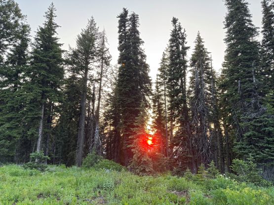
In any case the three of us met in my home and crossed the border at 9 am in the morning. The border was surprisingly without much traffic. A few hours later we drove through the familiar Snoqualmie corridor and the first stop was Ellensburg for gas and grocery. Seb took over the drive for the next section due east and I drove the last 3 hours on windy roads. The standard access is from Dayton to the NW and the unpaved roads were over 20 miles each way. I never thought this was a “remote” objective but thankfully the roads were in good conditions. For a long while we were driving up a ridge and that reminded me travelling in Rwanda and Guatemala somehow. I simply let Google making the decisions and Google surely knew the area well. I also checked Gaia map frequently to make sure we were indeed heading towards the right direction. We eventually parked at Teepee Trail-head and it was already in the evening.
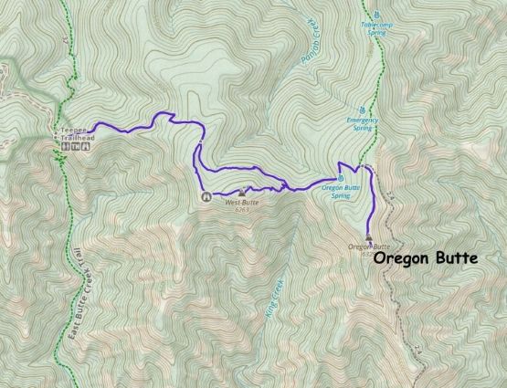
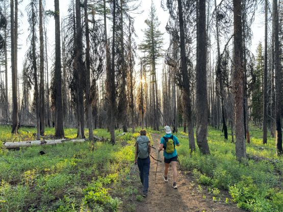
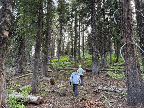
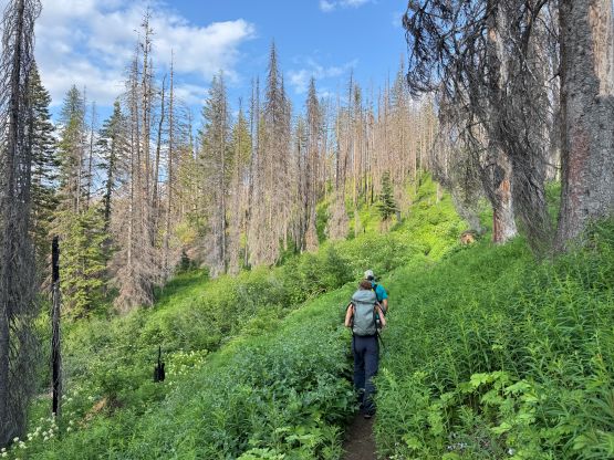
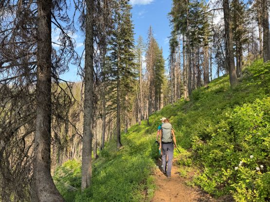
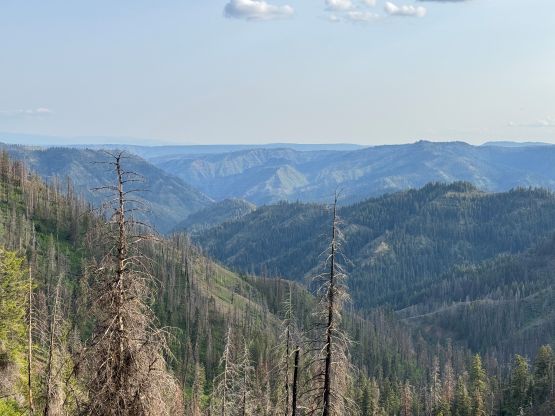
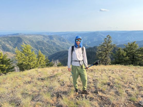
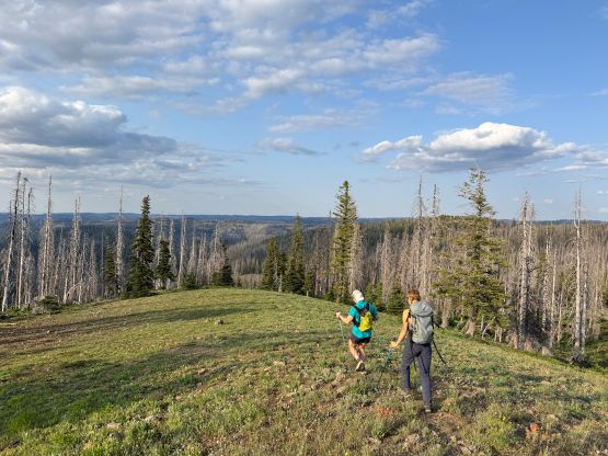
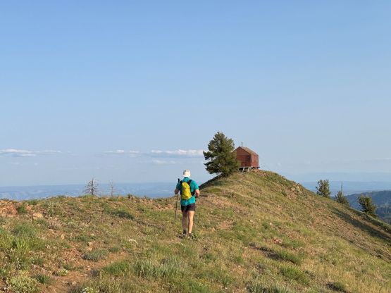
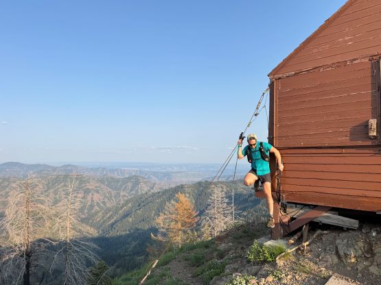
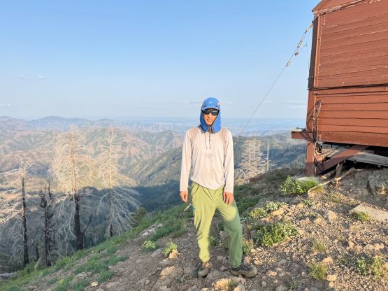
Thankfully the day was super long in summer solstice so we still had plenty of time to do the hike. The hike was also not as short as I thought and required about 10 km of round trip distance, but without much elevation gain. Seb led the way and any uphill section was pushing my limit but it’s a short hike after all, so I didn’t mind pushing a bit. We opted to go up and over West Butte as this sub-summit has over 100 m prominence. The final push to the true summit was quite a drag but there’s a cool cabin at the very top.
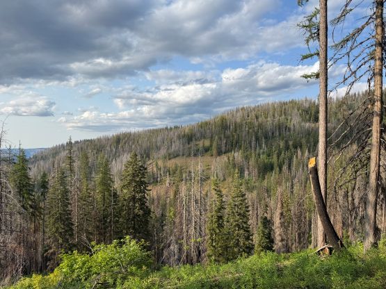
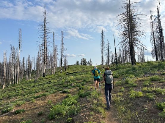

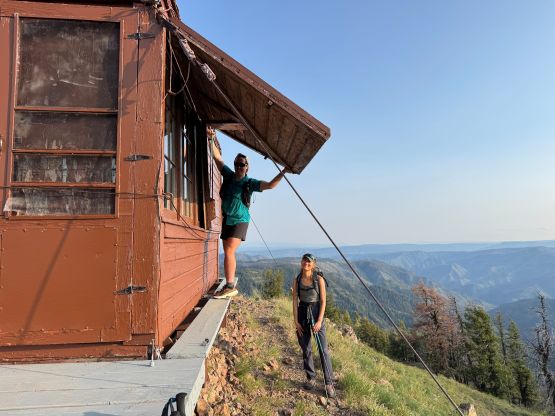
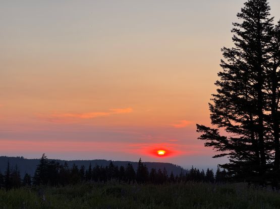
After taking in enough of the views we jogged back to the trail-head, bypassing West Butte along the way. Our round trip time was exactly 2 hours. On the drive-out we made the decision to check out “Little Turkey Tail” which also has more than 100 m prominence. This dumpster only took us about 5 minutes of round trip. The drive down to Dayton and then to Walla Walla took a couple hours. The original plan was to drive all the way to Sacajawea’s trail-head but I was too spent to do that. Instead, we pulled the plug somewhere along Weston-Elgin Highway and settled for the night on a random FSR pull-out, at 1 am. The next day we would resume the road trip and do Sacajawea Peak.