Lichtenberg Mountain
October 15, 2023
1781m
Stevens Pass / US-2 Corridor, WA
Lichtenberg Mtn. is one of the more prominent and iconic peaks in the immediate vicinity of Stevens Pass. I started to explore the peaks in this area since 2016 but most of them were done on snowshoes and I naturally wanted to ascend Lichtenberg Mtn. in winter as well, but there’s no “safe” route to do this peak on snow. One needs a stable snowpack but once those rare conditions lined up I always ended up on something else. As a result Lichtenberg Mtn. has been on my list for at least 3-4 years. My original plan was to keep waiting for that perfect winter window, but Lulu casually mentioned that she wanted to hike Mt. McCausland as she somehow got intrigued by a post in the Chinese version of Instagram. I’ve already hiked Mt. McCausland so I was not very keen, but then I took a look at the maps and decided to combine that with Lichtenberg Mtn. as a snow-free trip. Right away I knew this would be a perfect plan.
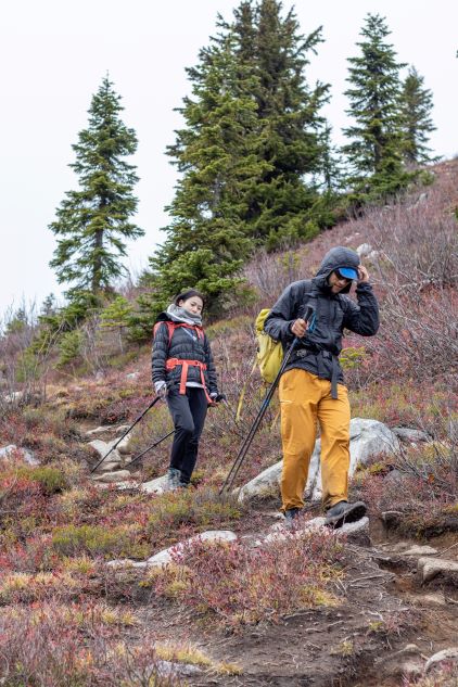
The weather for this past Sunday was mediocre but improved towards the last minute, that it’s quite possible to get some views especially in the early morning. I made the decision to leave White Rock at 3 am to take advantage of this short morning window. Pan was not impressed by this departing time but reluctantly agreed. The three of us indeed managed to leave White Rock at 3 am, but we had some delays at the border crossing due to Lulu’s passport issues. The drive to Stevens Pass took about 3 hours including the usual gas and food stops. The final few kilometers to Smithbrook trail-head was unpaved but could be driven in any vehicle, but I opted to take the Tacoma anyway as I didn’t have enough time to research the exact status of this road. We arrived at the trail-head completely exhausted so we rested for 15 minutes until we no longer needed to use head-lamps.
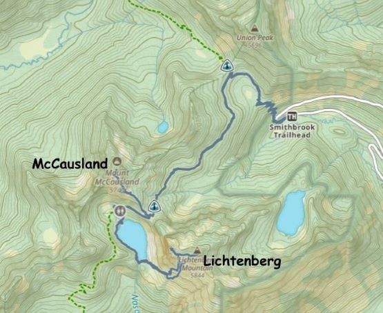
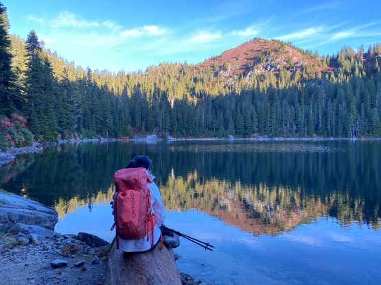
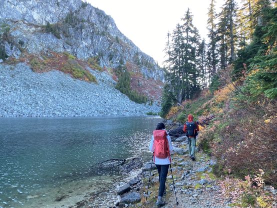
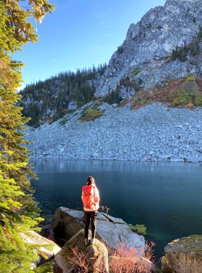
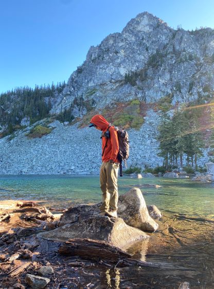
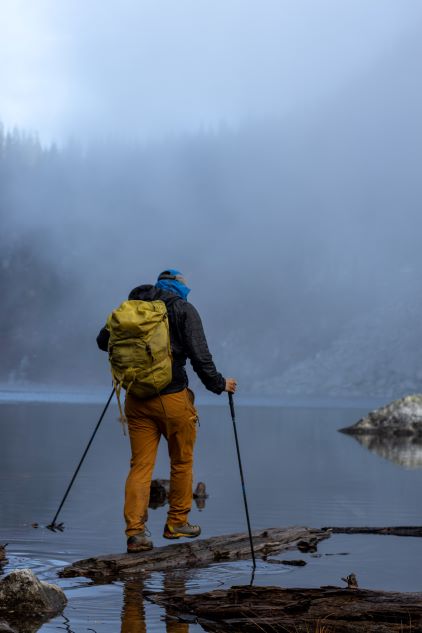
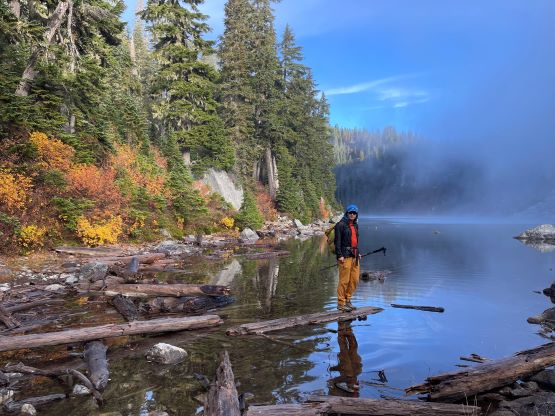
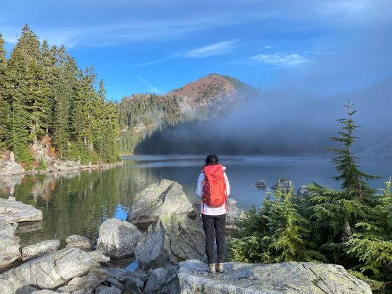
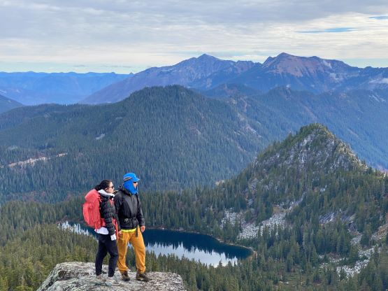
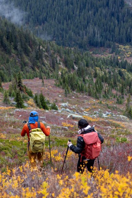
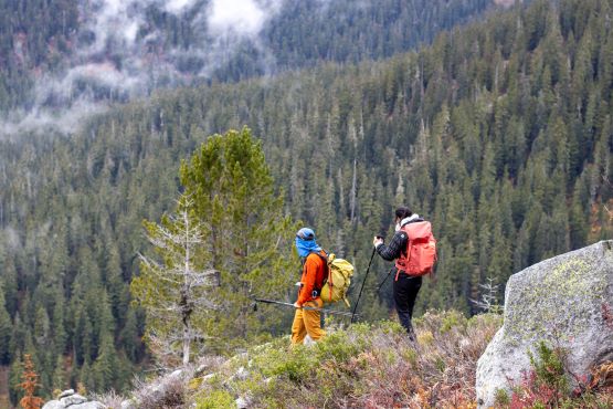
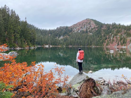
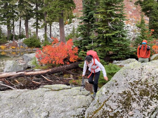
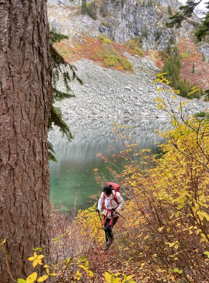
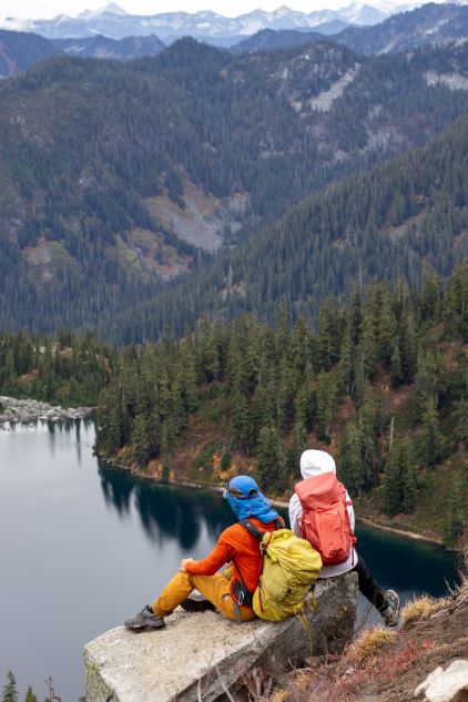
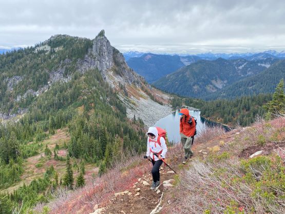
The approach is as short as one could ever expect as we just needed to follow the well-defined trail (PCT) to the saddle between Mt. McCausland and Lichtenberg Mtn. and then descend to the shore of Lake Valhalla. The lake is actually the destination for most of the hikers here. A few of them might opt to hike Mt. McCausland, but very few would consider the scramble of Lichtenberg Mtn. We took our first break at the north shore of Lake Valhalla. The lighting wasn’t the greatest but we took our time taking photos anyway. There are two ways to wrap around the lake to the south side and we took the lower route, traversing around along the shore. There’s actually a trail albeit with some up-and-downs. The traverse around the lake was also decently scenic so we again, took our time taking photos. We probably had taken over 100 photos by the point we reached the outflow (south shore) of Lake Valhalla. We took another break there mostly to don sun protection but also to have some food.
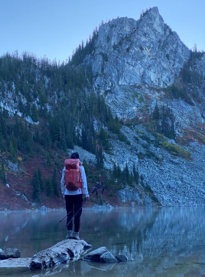

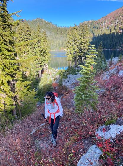
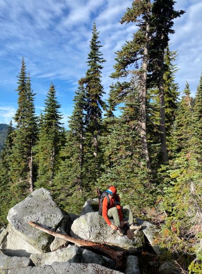
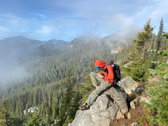
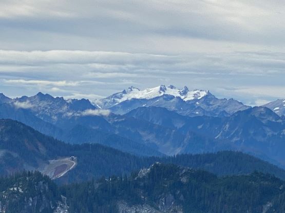
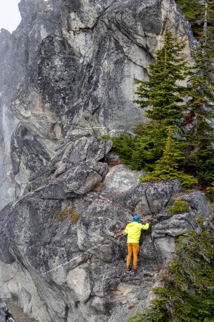
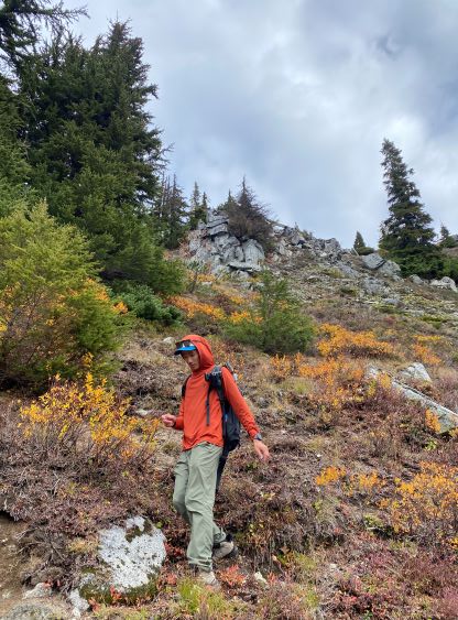
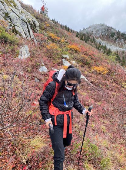
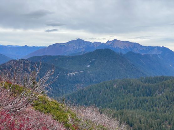
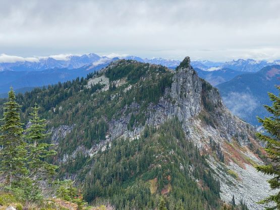
There’s no path beyond the outflow of Lake Valhalla and we must pick our way through the boulders and steep heather slopes in order to reach the summit of Lichtenberg Mountain. The route-finding wasn’t very obvious on the bottom section so I more or less just followed a pre-downloaded GPX track from peakbagger.com. The GPX track led us to the open terrain on the SW Face of this mountain, and from there we ascended straight up to the summit. The summit was rather anticlimactic as it’s broad and somewhat brushy, but we wondered around and found several spots that were great for photography. I also made an attempt to scramble/climb the western pinnacle. I knew there’s an easier way around to the back side of that pinnacle, but the purpose of the scramble wasn’t to summit as it’s just a subsidiary bump on the massif with no prominence to speak of. I’d rather attempt the direct ridge route, but I had to turn around about 10 meters from the summit due to slick class 4/5 terrain.


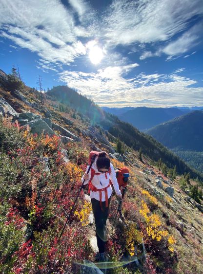


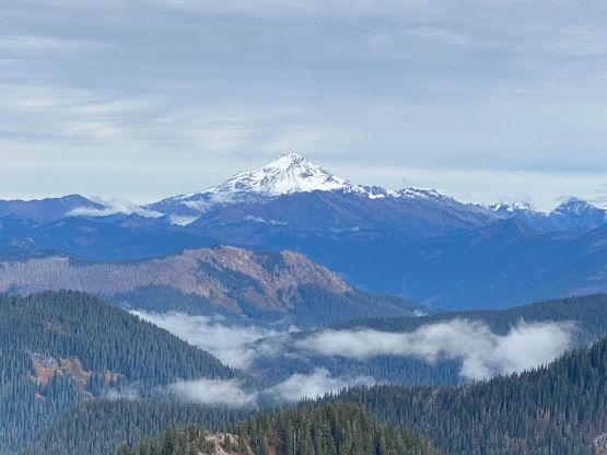
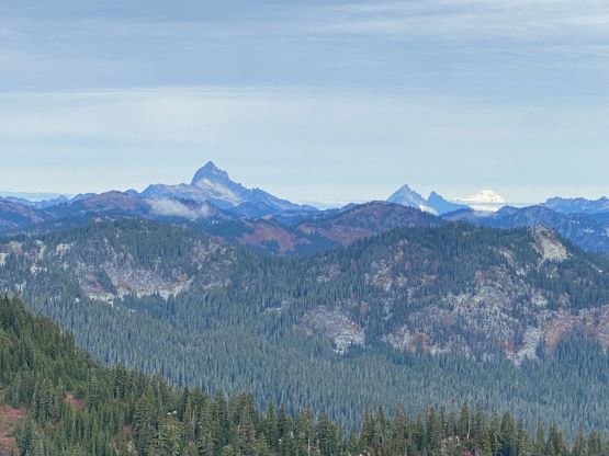
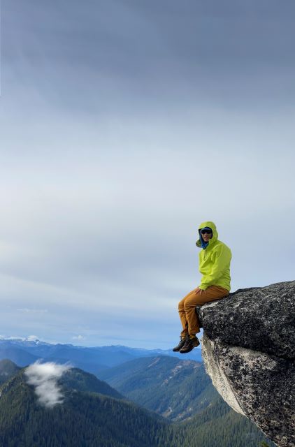
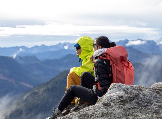
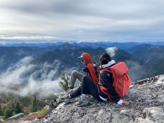


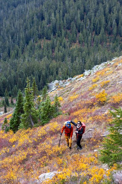
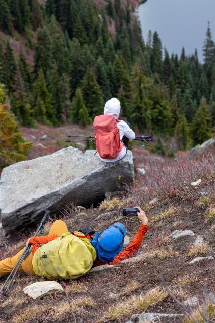
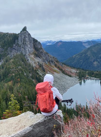
After having enough fun exploring the broad summit of Lichtenberg Mtn. we opted to descend back to Lake Valhalla. I led us descending a steeper but more direct line down the SW Face, and some sections required route-finding and caution. Nonetheless we got back to the lake in a timely manner and immediately traversed back to the north side and started the ascent of Mt. McCausland. All of us were tired, but we pushed to the summit of Mt. McCausland without stopping for food. We did stop regularly for photos, but that’s the main purpose of this trip anyway. Lulu W. had always been that excellent model on all of the trips we did together. The best view on Mt. McCausland was about 100 m below the summit. The actual summit was forested and offered limited views.

The descent was fast and uneventful. I eventually had to jog to keep up with the pace on the flat terrain and we got to the parking lot in exactly 50 minutes from the summit of Mt. McCausland, without stopping for any break. I then immediately turned on the engine and drove us back to Everett. Pan took over and got us to Bellingham and I drove the rest of the way back to White Rock. We were doing fine on time so we opted for a proper dinner in White Rock before resuming our respective ways back home.