Liberty Mountain
September 6, 2025
1735m
Arlington, WA
Liberty Mountain is the lowest of the three P600m objectives to the immediate east of Arlington along Mountain Loop Highway, but is definitely the most obscured of the three. The reason is simple, as the peak is deep but there is no trail in the vicinity. This is a nasty bushwhack that all of those who dared to make an attempt were rewarded with a day fulfilled with every kind of unpleasantness. There are only a selected few trip reports online and all made this sound like an uttermost sufferfest. I was aware of this difficult but prominent objective since 2020 because Connor M. and I had discussed about it, but I was never too keen to pull the trigger. On the other hand, I do like difficult and obscured peaks so I knew I would do it at some point.
Matt J. suggested this objective for this past Saturday, the last day of the period of “good weather” but this would only be the 3rd day after I came back from the 35-day streak of peak-bagging in Europe. My original plan for Liberty Mtn. was always to repeat Connor’s spring-time ascent and I also knew that Matt would never car-camp even for a supposed 16-hour day like this, so I almost immediately rejected the idea. However, the forecast for Sunday was not great so I forced myself to read a few Liberty Mountain’s late season trip reports. For some reasons I thought this wasn’t as nasty as I was anticipating. I did some math work and concluded that it would be doable (for us) without car-camping nor even an uber-early departure time, so agreed in the end. I also threw out an invite to Kelly Selzler in Washington and the three of us agreed to meet at the trail-head at 7 am. Both Kelly and I thought this was a bit “too late” but on the other hand, we were both tired and desperately needed some sleeping hours.

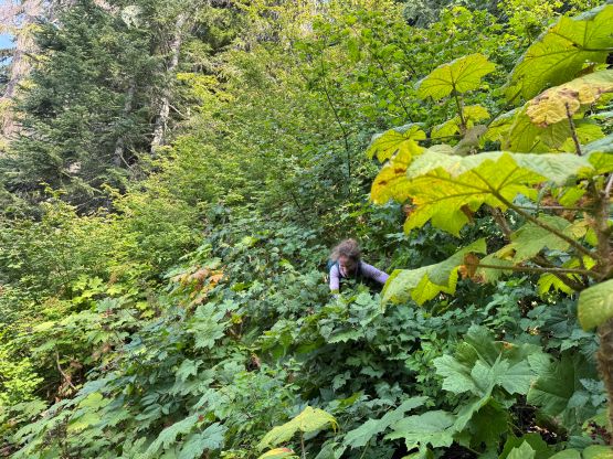
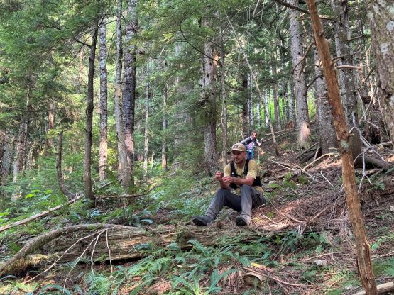
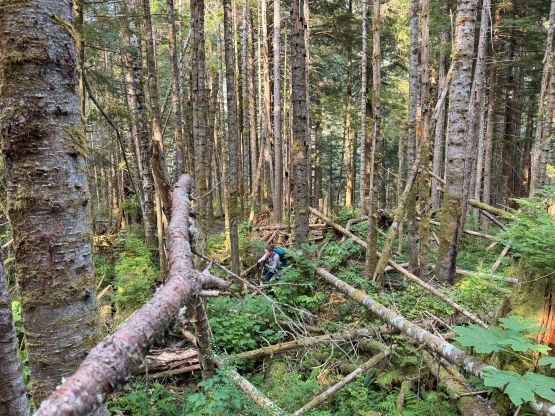
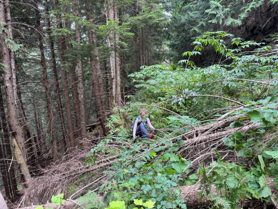
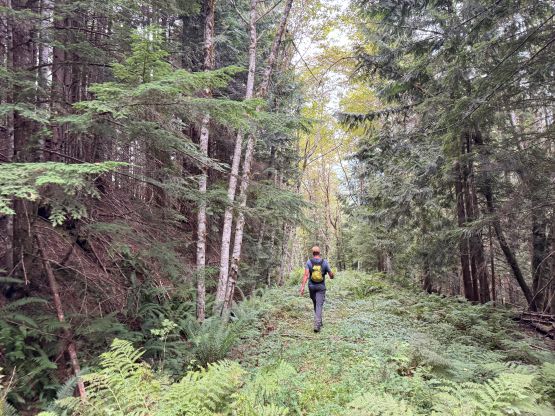
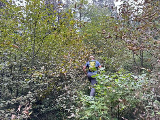
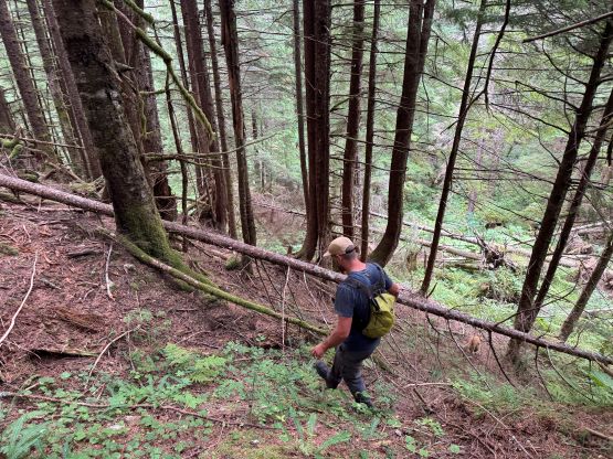
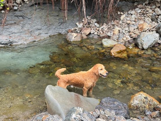
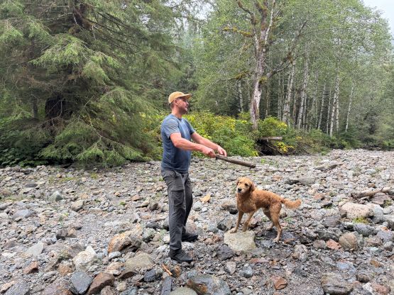
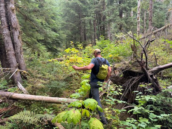
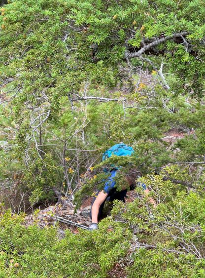
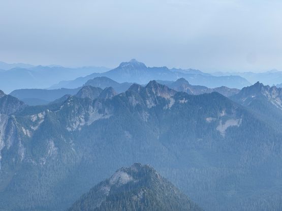
Matt came to pick me up from Elise’s home at 5 am but Matt was not driving as fast as he used to, so we were late by about 20 minutes, but that was fine. I had to borrow some of Matt’s gears because my checked bag (with at least 5000 dollars worth of gears) was lost in the travel but thankfully this was not a technical objective. I was able to squeeze everything into Matt’s 10L bike pack to make do for the day. About 100 m into the hike we started to encounter slide alders and some prickly vines and they would be accompanying us for the 7 km march to the end of this deactivated road. One of the reports on Peakbagger said “4.5 hours to the road’s end” so I was anticipating something like 3 hours for us. In the end we managed this stretch in less than 2 hours without even going at a hard pace. Matt and Twig definitely did more work picking the way through the bushes to eliminate some mental work for Kelly and I. There were definitely a bunch of crossings of the deep ravines but those weren’t as bad as expected. A few of them required some scrambling moves but nothing really worth noting. The weather was unfortunately foggy so the vegetation was partially wet. I also accidently stepped into a few swamps and soaked my shoes. The forest fire smoke situation was definitely bad but not that terrible. At least we weren’t observing ashes falling off the sky, but we were definitely chocked by pollens.

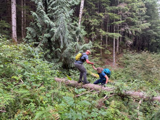
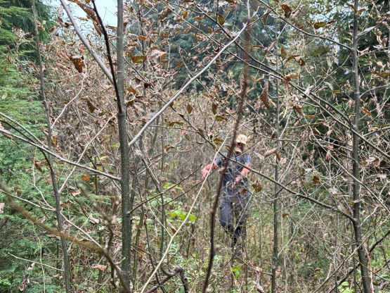

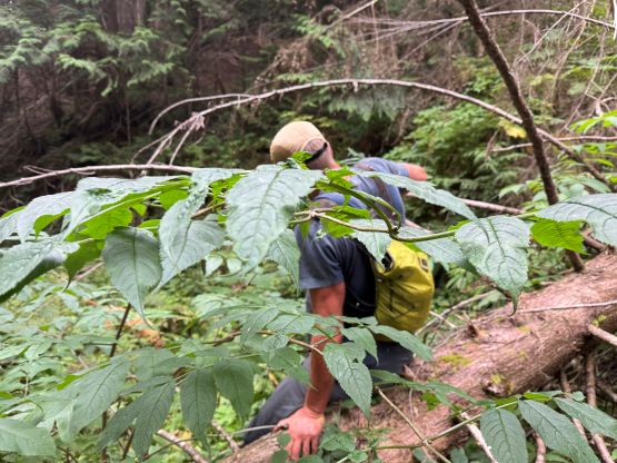
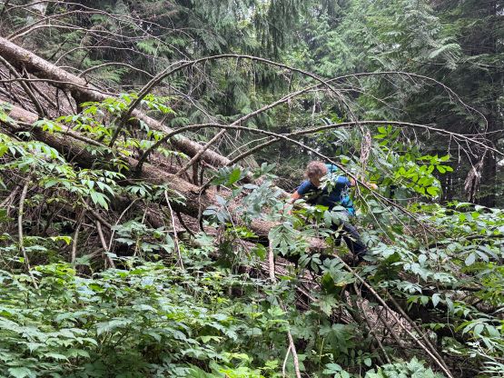
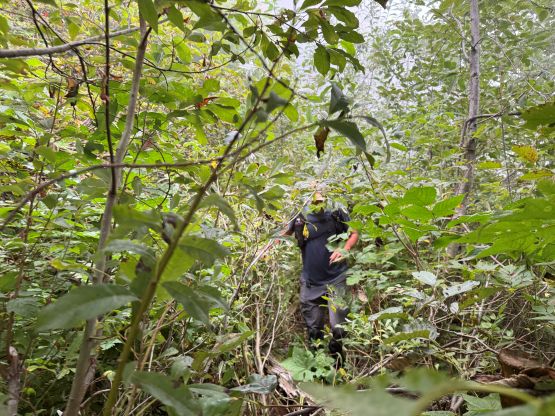
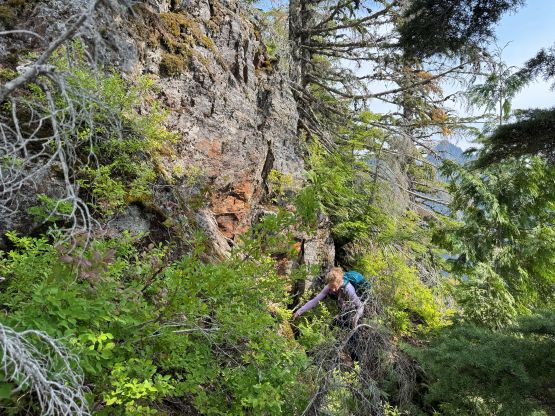
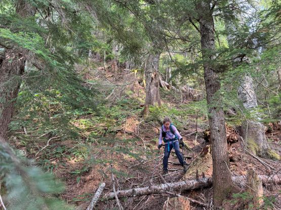
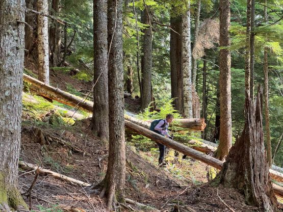
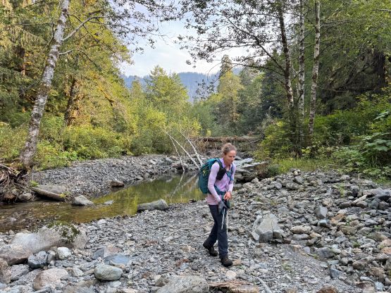
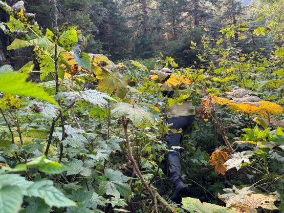
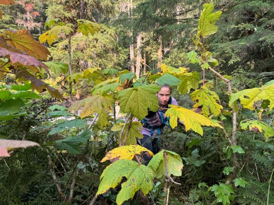
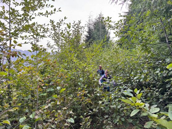
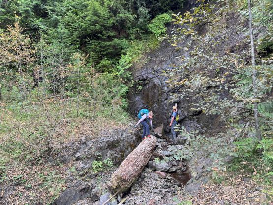
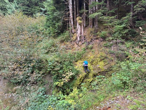
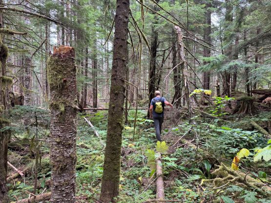
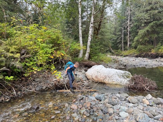
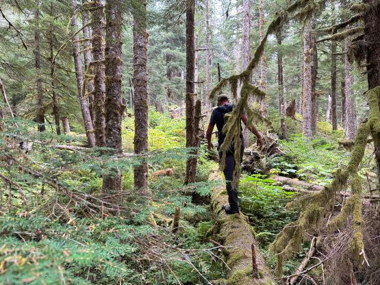
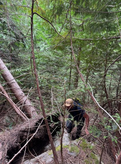
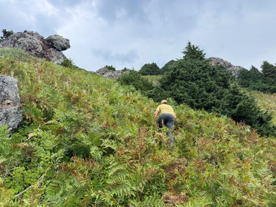
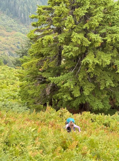
From the road’s end we dived down into the forest, losing 200 m elevation down to the crossing of South Fork Canyon Creek. This section was surprisingly mostly in open forest but the terrain was slippery due to pine needles, and the final bits were nasty due to Devil’s Clubs. The crossing marked the last reliable source of water so we all took our time taking a break. The creek crossing itself was trivial but Kelly did step her boots into the water as the log was unstable and very slippery. We had about 1100 m elevation gain afterwards, and most, if not all of the terrain was unpleasant, in one way or another. There were still plenty of Devil’s Clubs to content with lower down, which quickly gave way to slippery pine needles with rotten pick-up sticks, intermittent by fair amount of “class 3 tree”, which gave way to the dense huckleberry bushes some up-and-downs. The going was painfully slow. I however, never thought it was that bad mostly because I had done Mt. Denman earlier in the year.

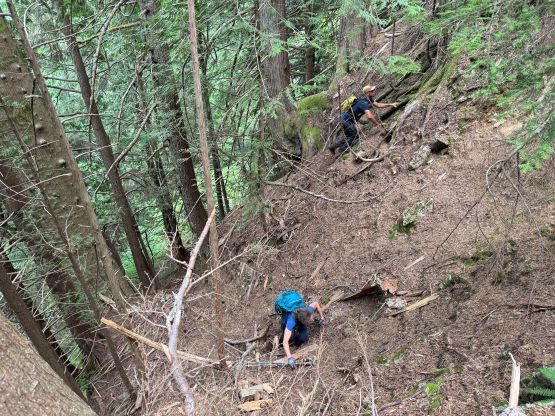

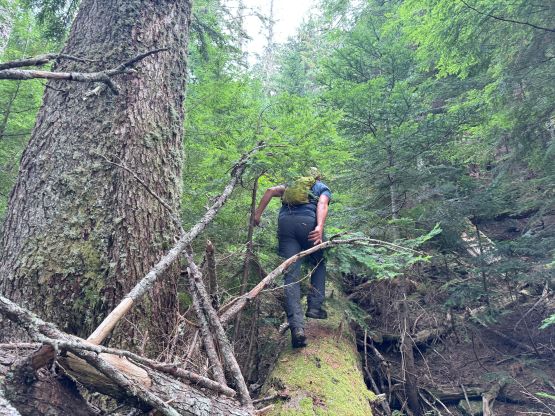

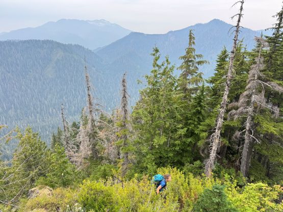
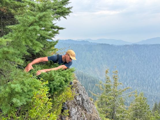
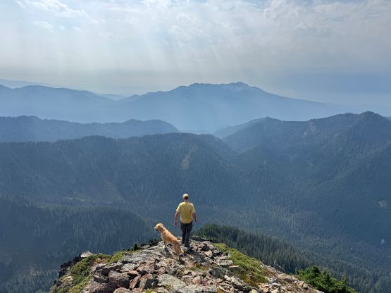
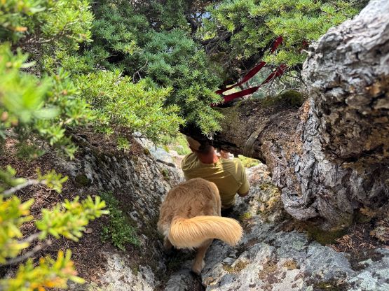
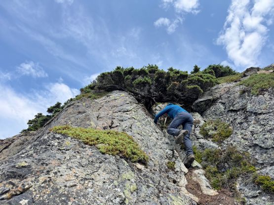
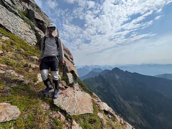
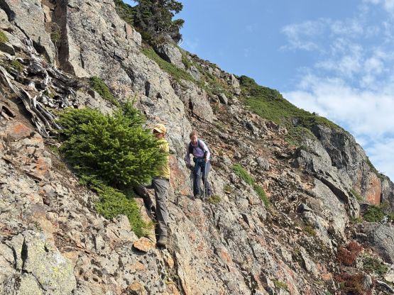
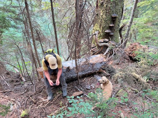
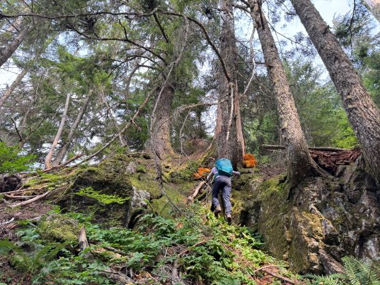
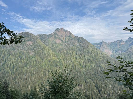
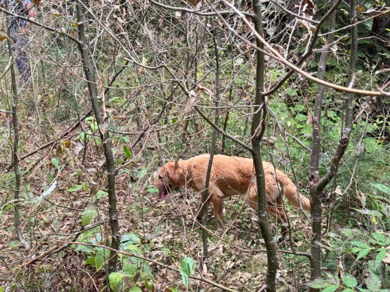
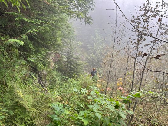
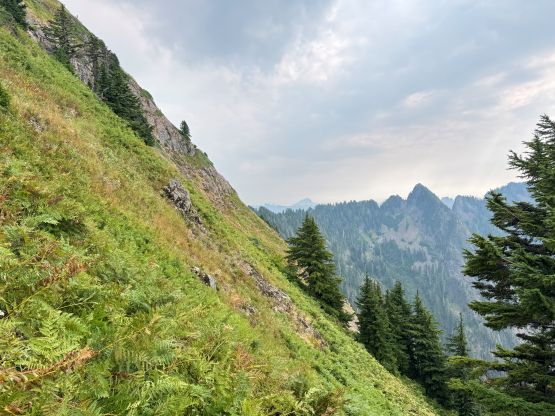
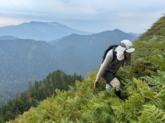
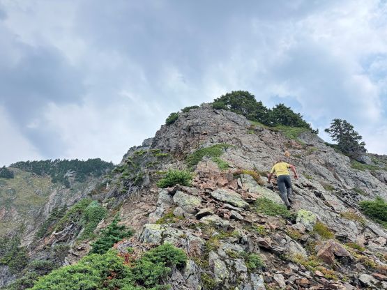
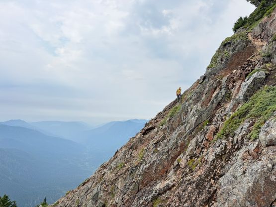
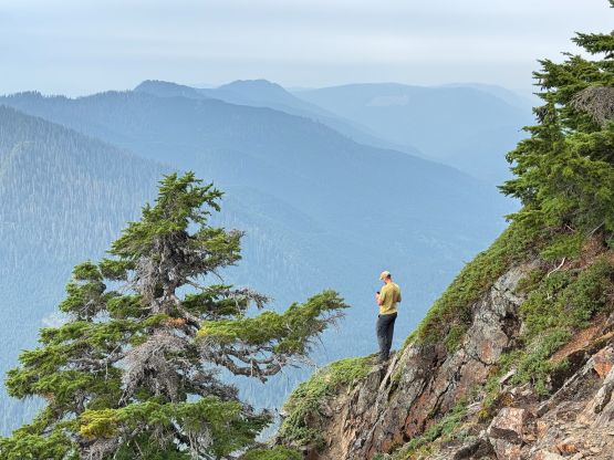
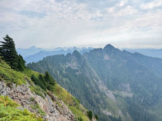
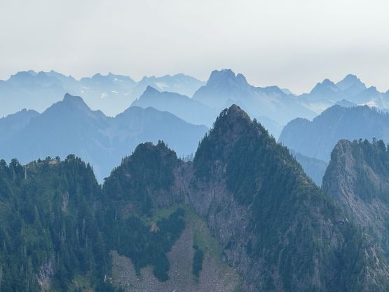
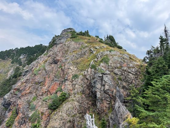
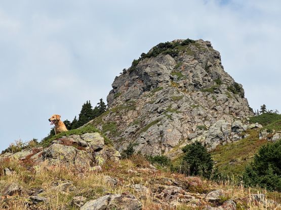
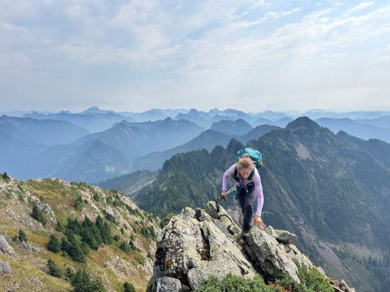
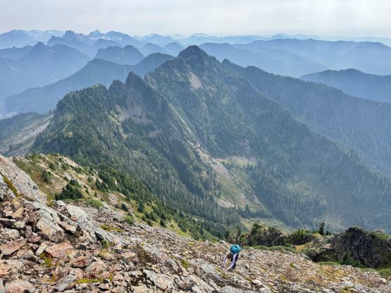
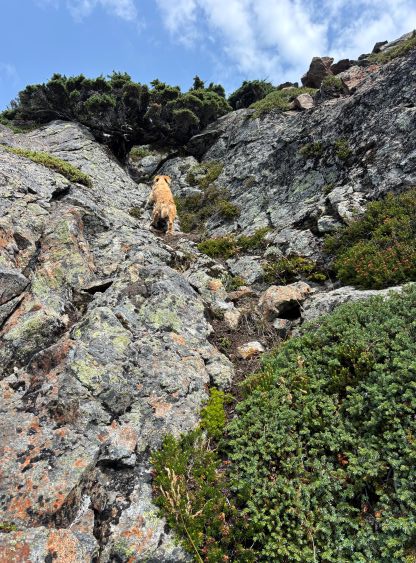
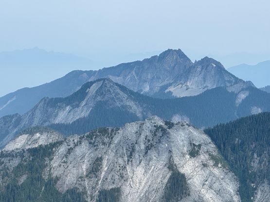
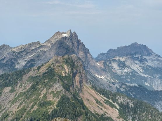
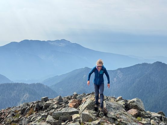
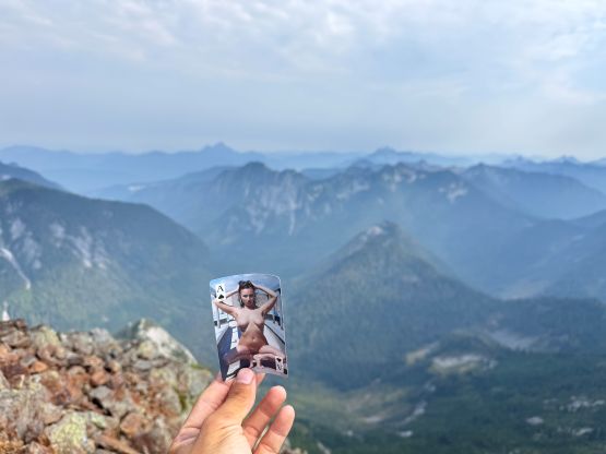
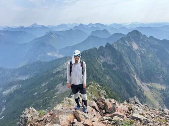
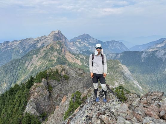
At around 1350 m we took a lengthy break ditching some unnecessary stuffs as the views finally opened up. We were at the treeline zone and the terrain ahead appeared steep and complicated. The worst was the steep and slippery grass especially for me wearing the old, beaten up trail-runners, but it was manageable. Higher up we each chose different lines up the 3rd class and chossy slabby terrain, and the routes merged at the bottom of the 4th class summit block. Throughout the ascent we noticed some fresh footprints. I initially thought they were made by a bear because we observed a shit ton of bear shit, but the higher we went the more I thought this was definitely made by human beings. Later at home we realized it was Steve Trent, the local legend who only goes after hard shits. The previous parties (on peakbagger) all indicated the necessity to rappel but Greg Slayden did give this route a “4th class” rating. Knowing Greg isn’t the type of sandbagging guy I suggested that we should leave the rope, harness and helmets at home, and this was definitely the correct decision. There’s even a dangling sling at the tree tunnel crux. If using that sling the crux would be nothing worse than 3rd class. I did the ascent without touching that sling as that’s the only way to make it a legit 4th class climb. The summit was attained shortly after and to my surprise, the views were actually quite good given the smoke situation. The best was actually the summit register as there’s a naked woman card in it.
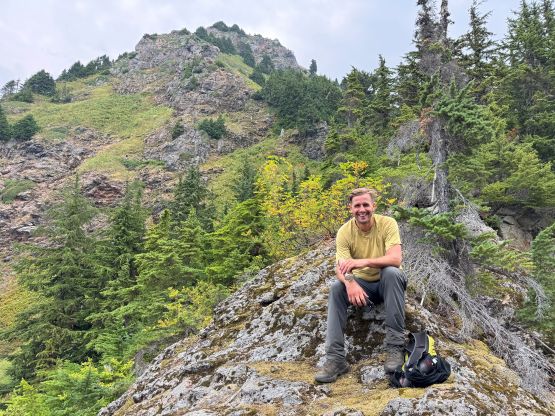
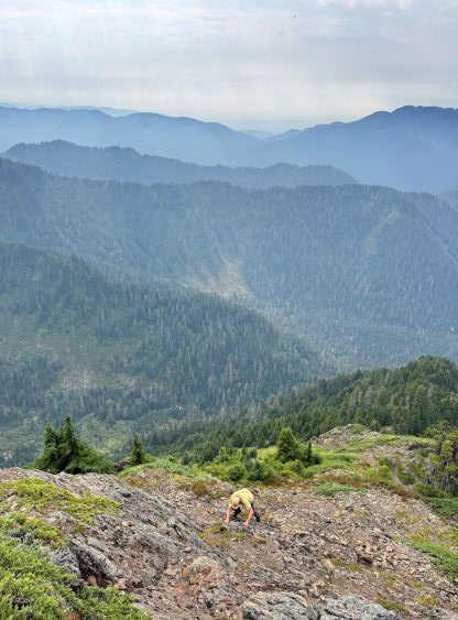
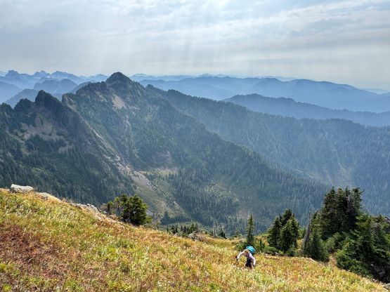
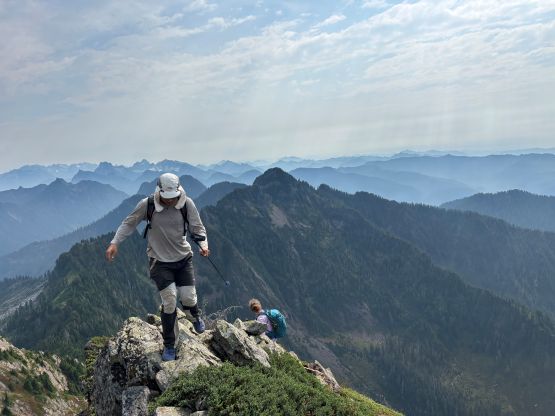

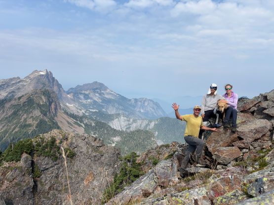
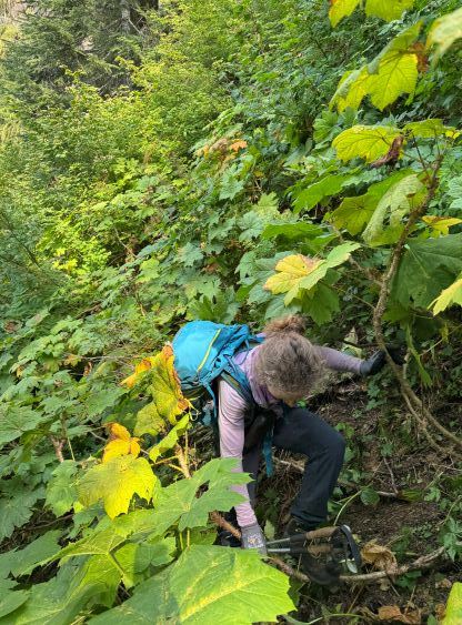
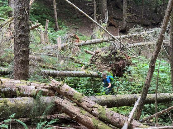
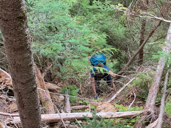
Our ascent time was less than 6 hours so we definitely earned ourselves a proper stay on the summit without having to worry about time. This was way faster than my initial estimation of 16 hours round trip (based off the other trip reports). On the descent we all used that sling for simple reason of why-not, and then dashed down the chossy ledges and slippery grass to where we ditched the gears. The section of blueberry bushes wasn’t too bad on the descent, but we got off-route briefly and awarded ourselves with side-hilling on a dense band of alders mixed with Devil’s Clubs. That part was definitely one of the worst bushwhack I’ve ever done, but the duration was very short. Lower down we tried to stay on either Greg’s track or our up-track but did a combination of both. Matt was leading most of the way and I think we did pick the most efficient path after that off-route misadventure. All of us was desperate for water so the creek crossing was the natural spot to take the last long break of the day. We then faced that soul-crushing 200 m elevation regain, which wasn’t too bad for me as I just did a massive trip in Europe so my aerobic fitness is currently at the peak. The final 7 km death march back to the vehicle was also not too bad but we were all very mentally tired. I wasn’t particularly careful and got my face and eyes slapped a few times by the alders, but thankfully didn’t do any notable damage. Our round trip time was just over 11 hours. I agree with the others that this is not a peak to recommend to friends. Some “need” this peak as it’s on WA P2K list but for me, the reputation of being a misery fest was the reason why I did it.