Cowboy Mountain
November 7, 2024
1785m
Stevens Pass, WA
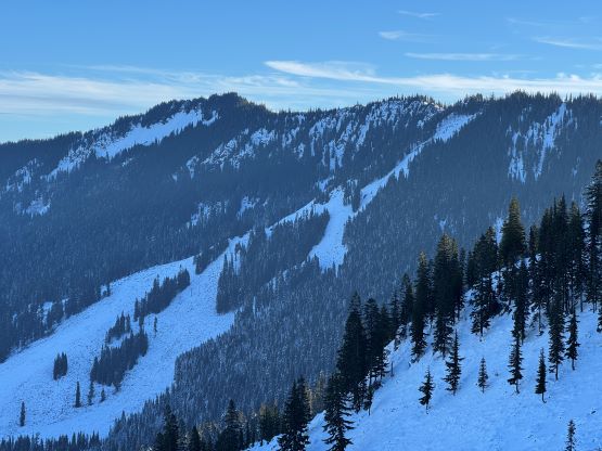
Cowboy Mountain rises directly behind the ski runs at Stevens Pass and the ascent can be easily made from the resort. The best time to do this objective is November and May when there’s sufficient snow to snowshoe (or ski) but the resort has not opened yet or has already closed for the season. This peak can also be done in summer from the nearby PCT trail but the summer should be reserved for better peaks. Furthermore, I estimated the round trip to be no more than “a few hours” so there’s no point in wasting a full day. Therefore Cowboy Mtn. was reserved strictly for a before-work kind of trip in the shoulder season. This past Thursday had that perfect oppourtunity as that was the only bluebird day of the week but I had been swamped by work recently.
It took me a while to commit to this trip because the driving was daunting. I would not finish work until 10 pm on Wednesday and I needed to be back for work no later than 4 pm on Thursday, and I had to subsequently work till almost midnight. Thankfully I convinced Kate to come along and Kate would provide her Subaru and was able to offload some of my driving duty. We left White Rock at 10:30 pm as planned and Kate volunteered to handle the first half of the drive. Unfortunately she got a speeding ticket somewhere in the vicinity of Marysville. I took over the drive after turning onto US-2. I was extremely exhausted but nevertheless got us all the way to Stevens Pass at 1:30 am after applying a whole bunch of strategies to force myself awake. I did not have to slap my face, fortunately.
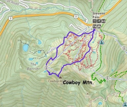
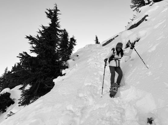
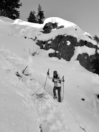
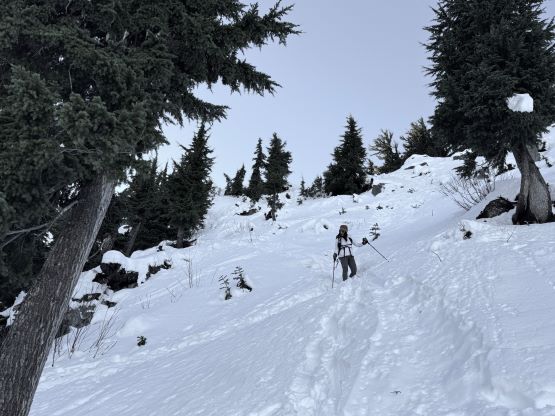
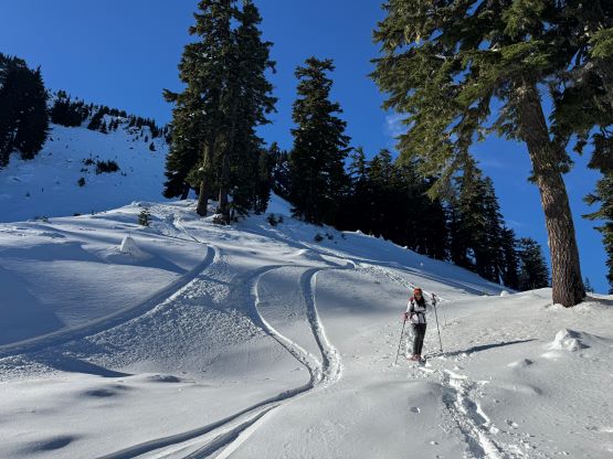
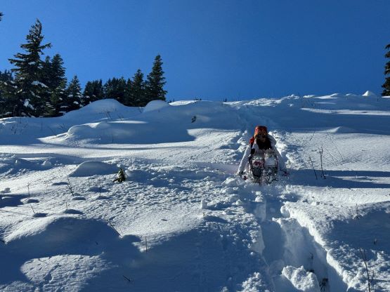
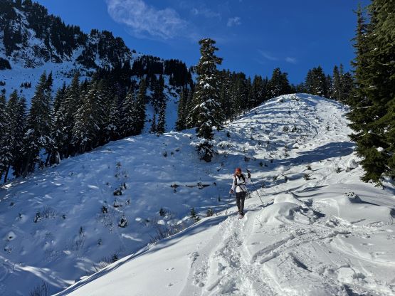
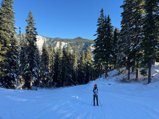
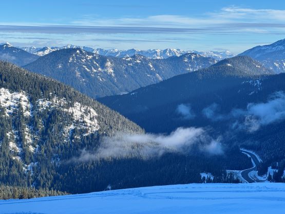
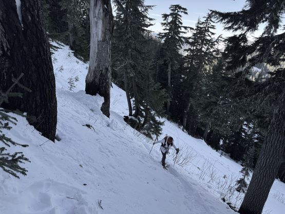
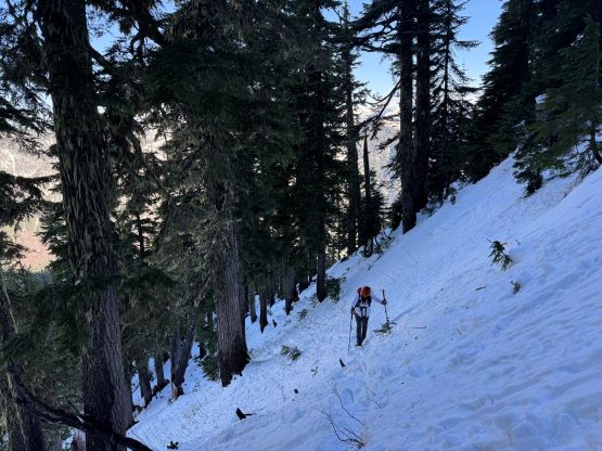
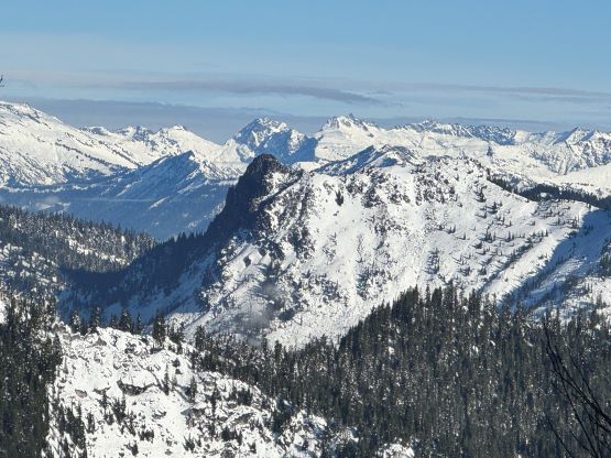
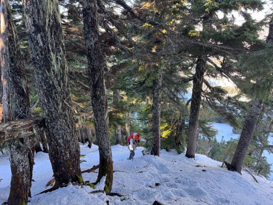
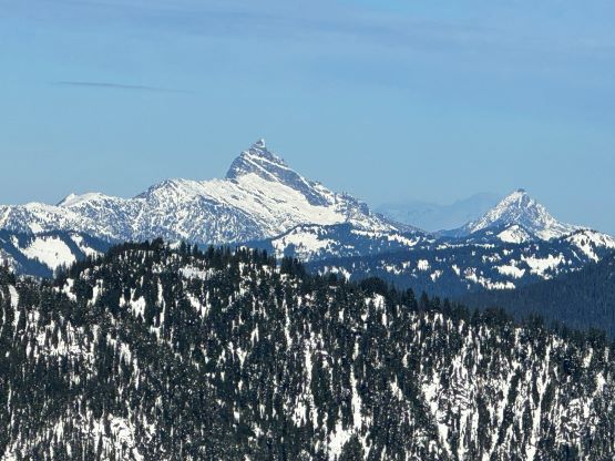
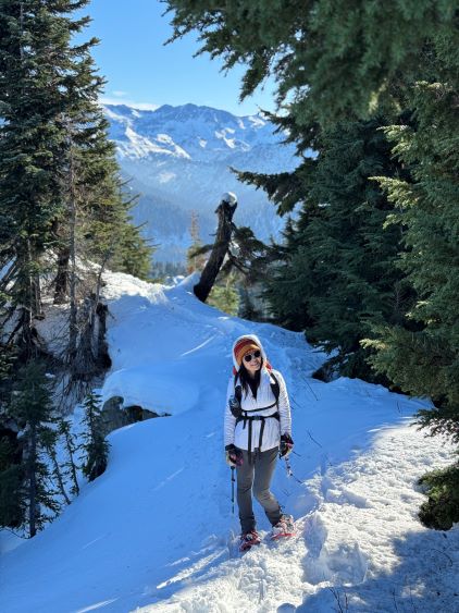
There’s no point in doing an alpine start for such objective so we leisurely woke up at 7 am in the morning in the back of the Subaru. There were already several vehicles pulled in by then. About an hour later we started and the weather was indeed gorgeous. There was enough snow to strap the snowshoes on not far from the parking lot. My planned route was the west ridge by taking the service road for as far as possible. The entire road had been tracked out by the snow machines so the post-holing was non-existing. We still needed the snowshoes for the added traction. The section to gain the actual west ridge was insanely steep but thankfully a previous group of snowshoers had already plowed through a trench for us. The trail-breaking duty would be heavy otherwise. The true summit was still a ways away but the going was decently straightforward by simply following the existing set of tracks.
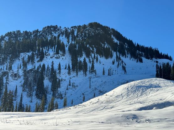
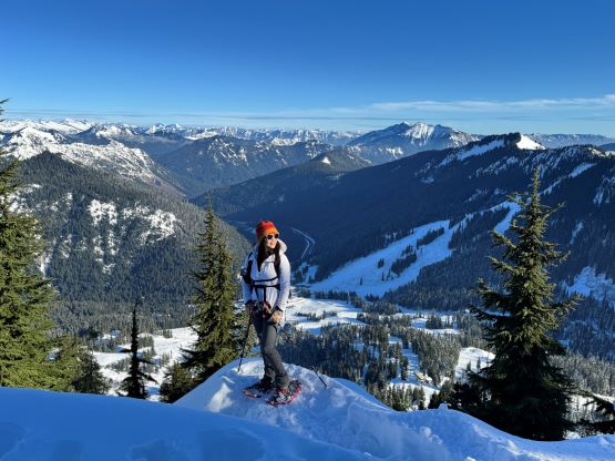
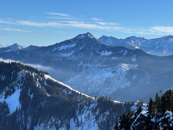
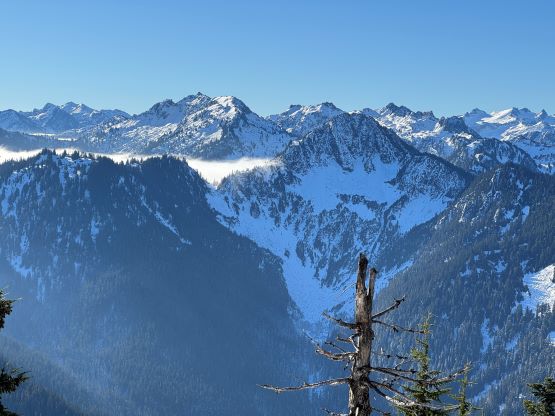
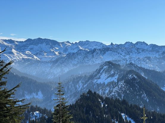
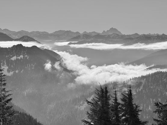

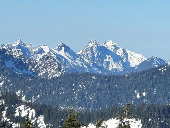
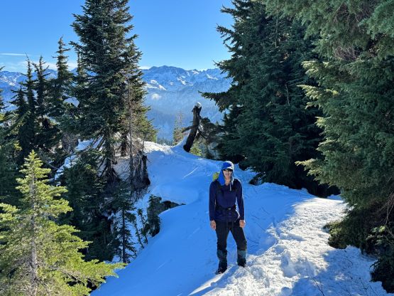
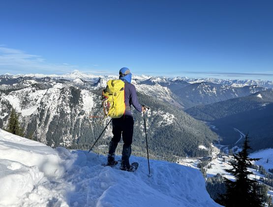
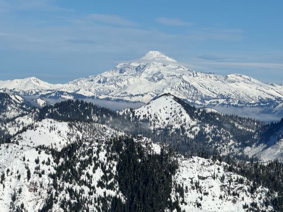
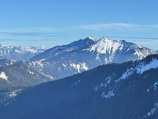
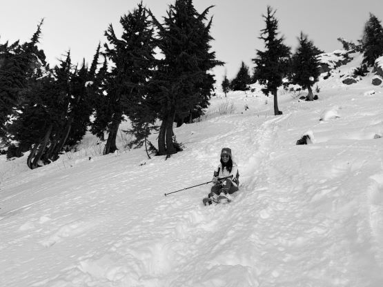
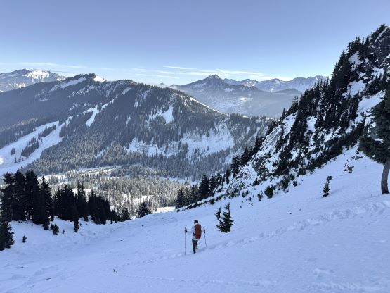
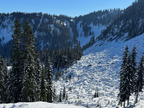
The true summit itself was quite forested but there were several better viewpoints in the immediate vicinity. After taking in enough of the views we had to head homewards. I made the spontaneous decision to descend the steep north face after seeing a viable route, mostly for fun. Kate also needed more practice on her “technical snowshoeing” thing. The terrain was over 40 degrees at the top but quickly became more manageable and we both successfully descended the entire face without taking the snowshoes off. The condition was deep and powdery and there were plenty of skiers tracks around. Lower down we entered some poorly covered boulder fields and found several deep holes. The rest of the descent was uneventful by taking the most direct way back. We did not join the other route until basically back to the trail-head so this was a complete loop. Our round trip time was 2 hours 40 minutes and we took turn driving back to White Rock by 2 pm. I earned myself about an hour of napping time and then worked all the way to midnight.