Corteo Peak
September 28, 2025
2470m
Rainy Pass / North Cascades Highway
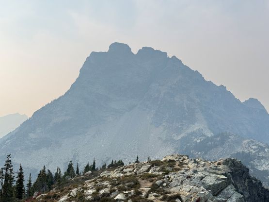
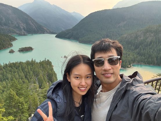
Corteo Peak is an iconic peak in the vicinity of Rainy Pass but despite the lack of access difficulty, this is not a popular objective. The easier SW Ridge requires a contrived approach with glacier crossing and several major up-and-downs but I thought the harder East Face route is not as terrible as people made it sound like. The benefit of the East Face route is the very straightforward approach, which was the main reason why I picked this option. I got some personal beta from Dave G. who had just completed this objective solo, that I should have no problem tagging the summit without bringing a rope. The original plan was to hike “Crooked Bum” with Clair but I jacked up the ambition at the last minute. I figured if I were already at Maple Pass then I couldn’t give Corteo Peak a miss. Clair wouldn’t be able to complete this scramble but she could finish the hiking loop alone and meet me back at the vehicle.
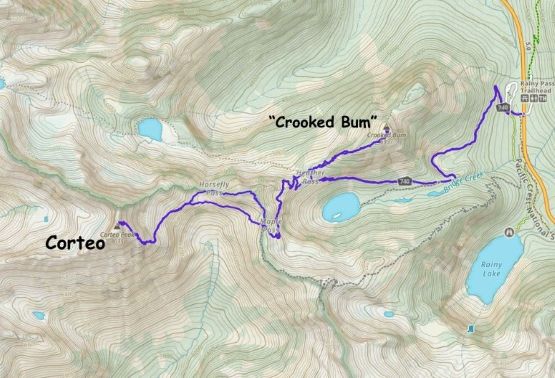
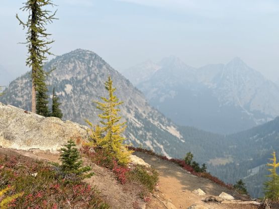
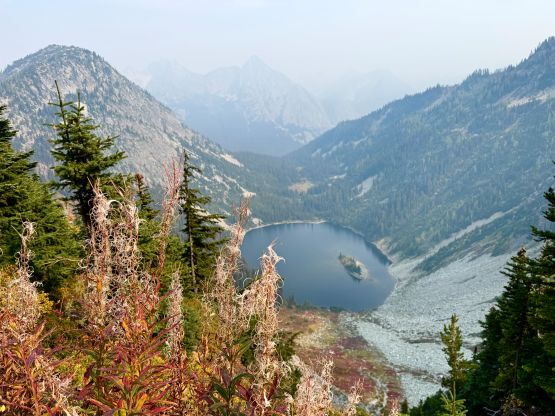
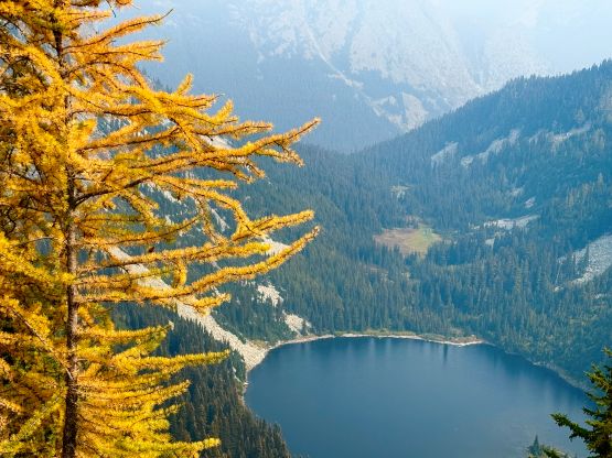
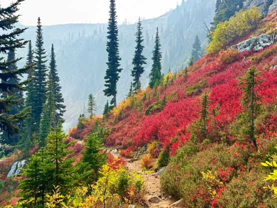
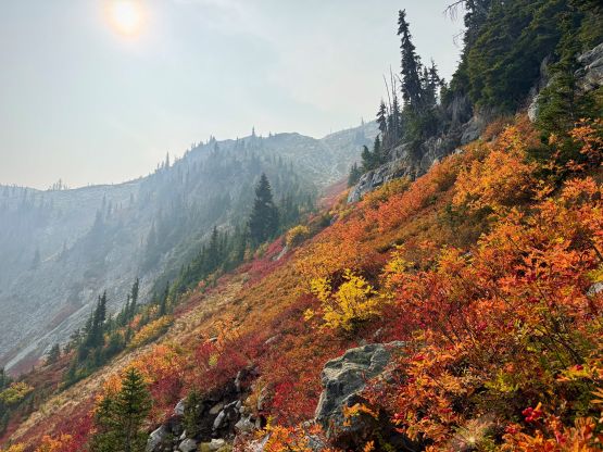
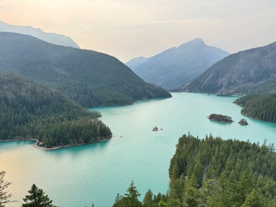
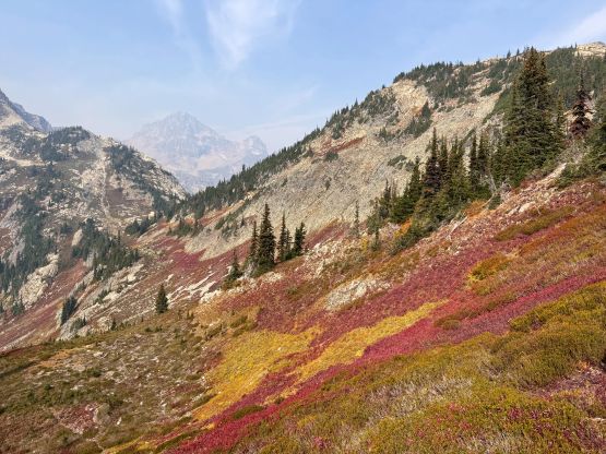
I told Clair that if I couldn’t show up 4 hours after her finish then she should call for help, but realistically I thought 2.5 hours were more than enough for me to tag Corteo Peak and back. I thought about tagging “Heather Pass Peak” but it’s smarter to think about that on the return, so dropped 50 m from Maple Pass and traversed across the steep blueberry bushes and heather slopes towards Horsefly Pass. There was a well-defined (unofficial) trail even though the park’s officials were discouraging people from venturing off the main Maple Pass trail. I ended up traversing underneath Horsefly Pass and went directly for the lower east face of Corteo Peak. I then did a rising traverse across boulder fields and scrambled across some choss and heather slopes onto the SE Ridge.

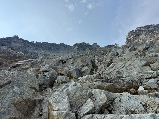
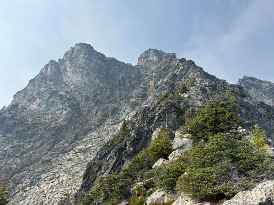
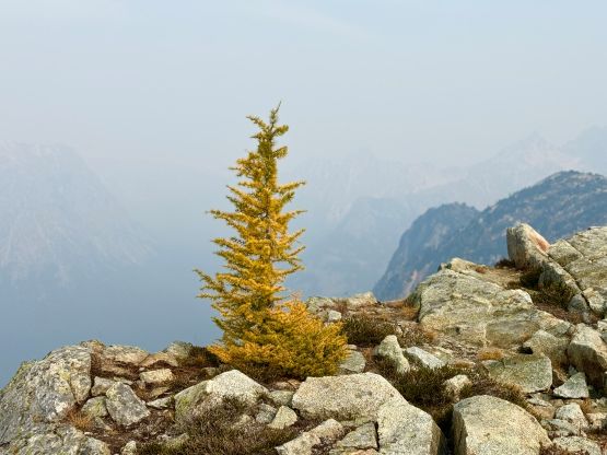
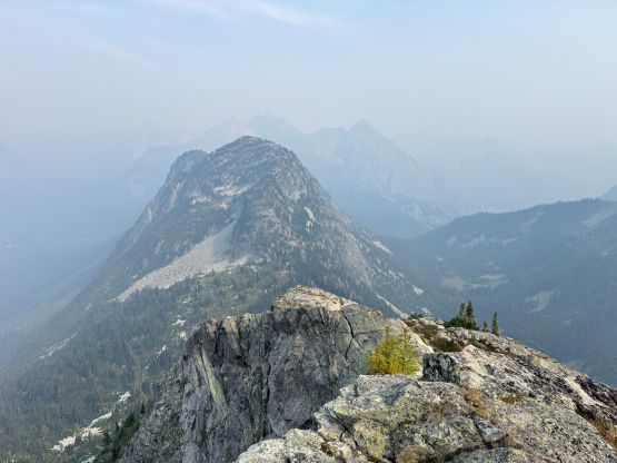
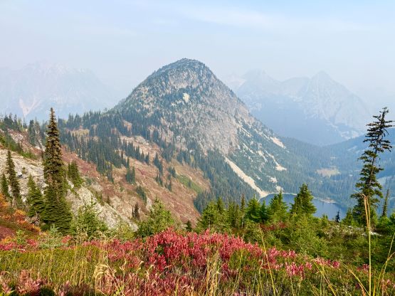
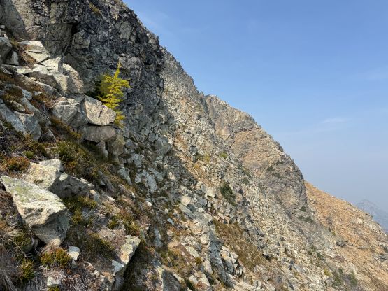
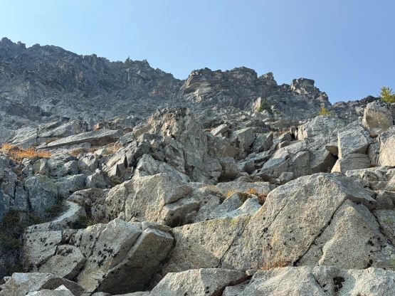
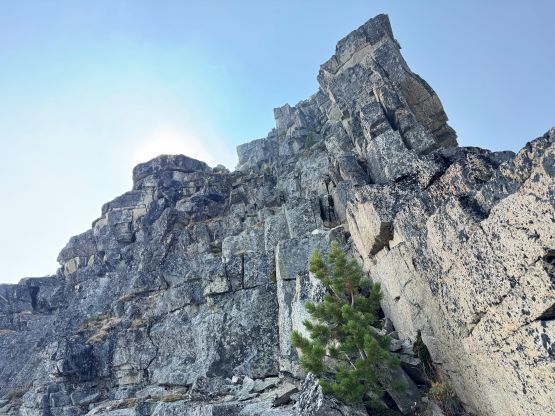
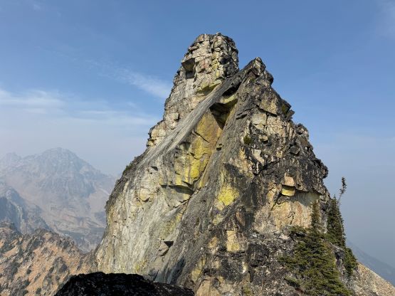
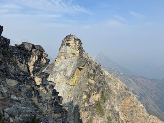
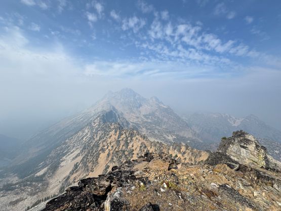
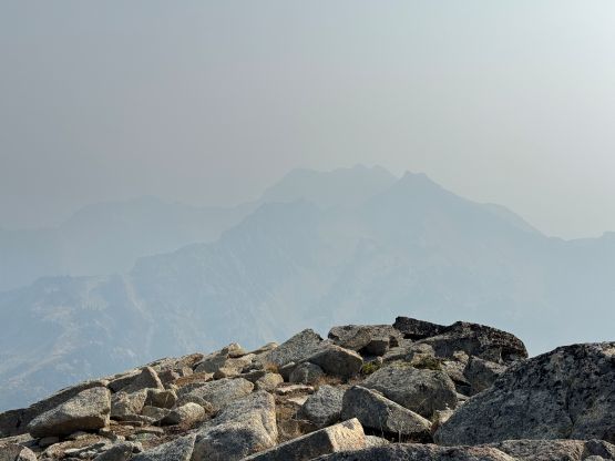
The bulk part of this scramble was up the SE Ridge which was straightforward but tedious. There’s enough micro-terrain for me to keep looking for the route but not enough scrambling to make this section enjoyable. The scrambling was class 2 at the maximum and I would end up bushwhacking if I wasn’t paying 100% attention in route-finding. I was also choking in the thick layer of smoke so I couldn’t motor up as quickly as I was hoping for, so the stoke level was quite low. Thankfully I dragged my tired self up to that ledge traverse. Seeing the exposure actually got me excited so I quickly dashed across the “goat ledge” which was technically easy, but with death exposure. Onto the upper east face I simply picked whatever line that worked, aiming towards the distant notch on the skyline. I on purposely did some 4th class scrambling to spice things up, as the route was not as difficult as I was hoping for. The terrain was a bit down-sloping and loose so I eventually opted to find the path of the least resistance. I ditched one trekking pole at the notch and went for the short but steep scramble to the true summit. The terrain was still down-sloping and I did do at least a few trickier moves, but with patience one could keep the grade within “class 3”, I think. There’s a register on the summit so I signed in, but the views were rather meh due to the smoke. To my surprise there was some cell reception so I sent a few messages before preparing for my descent.


The descent was easy and quick. I personally felt descending 3rd class down-sloping terrain easier than ascending so in no time I was off the east face. Descending that portion of the SE Ridge was still tedious and demoralizing but once off the ridge I took off and jogged across the east basin back to Horsefly Pass. I was doing great on time so made the final decision to plod up and over “Heather Pass Peak” for completion purposes. This is not a ranked summit by the North American standard but “close”. With 84 m prominence this is however considered a “peak” for at least the Europeans, so heck why not. While jogging down the Maple Pass trail I stopped regularly for photos and eventually finished the round trip in 6 hours 46 minutes. Clair had only been waiting for 1.5 hours so I finished much quicker than I thought, even with the addition of “Heather Pass Peak”. We eventually got back to Vancouver in time for dinner.