“Bigfoot Hill”
November 3, 2025
943m
Bellingham, WA
It is now proven that “Bigfoot Hill” is the highest point of the large piece of wooded land between Lake Whatcom and Acme thank to the LiDAR survey conducted in 2024, and therefore this is the one that boasts 600+ m prominence. The prominence status was used to be assigned to “Haner Mountain” to the south but that was just a preliminary assumption based on the topographic maps as nobody had accurately measured the elevation of these competing summits. I nevertheless tagged “Haner Mountain” a few years ago. “Bigfoot Hill” had been on my radar with or without the P600m status as it seems like a decent outing on foot or on bike, and the location is very close to home.
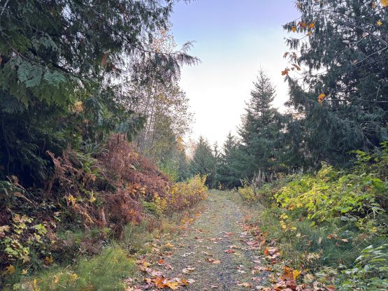
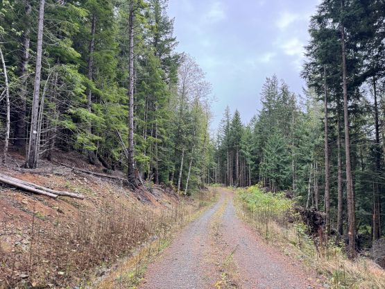
It made no sense to waste a full day for such objective so I reserved it for an occasion when time/motivation was lacking, and I did not need to do it in the so-called “perfect weather”. I eventually pulled the trigger on this past Monday. The weather was mediocre and I needed to be at work no later than 3 pm. I also couldn’t leave home until 11 pm in the previous evening so putting all things together, “Bigfoot Hill” turned out to be the right choice. I unfortunately no longer own that fatbike so I would be doing the entire trip on foot. This meant I would be taking the western approach. This side is shorter as the route utilizes a combination of FSRs and mountain biking trails, but the downside is the bushwhacking traverse up and over “Slash”, a subsidiary bump to the west of the main summit. The bushwhacking sounded reasonable in the couple trip reports that I skimmed through, so I finalized the plan. I drove out of Vancouver the night before and car-camped at the trail-head. The border guard was giving me some weird looks as my itinerary simply didn’t make sense, but he couldn’t bother me much as I was holding that NEXUS card. I totally understood his confusion as why would someone opt to sleep in the vehicle for an objective only an hour away, but I knew myself. If I didn’t push for the car-camping then I would 100% sleep in when the alarm went off. My motivation for hiking is simply very low these days. But if I was already there then I had no other choice.
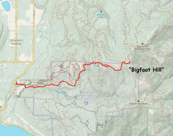
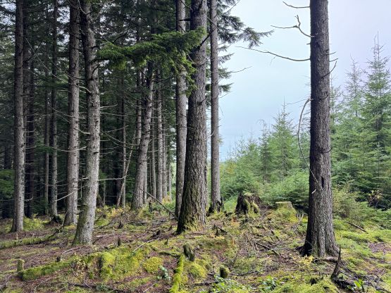
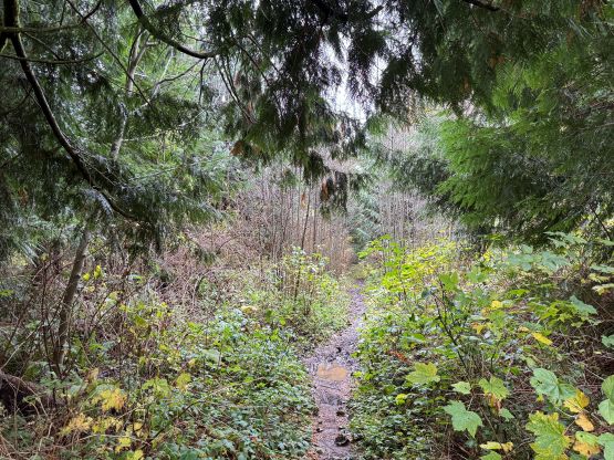
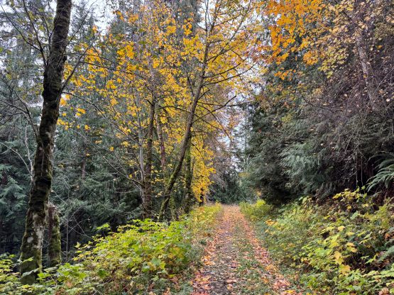
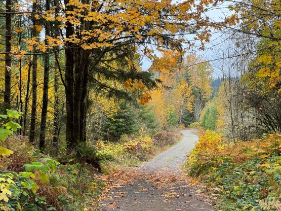
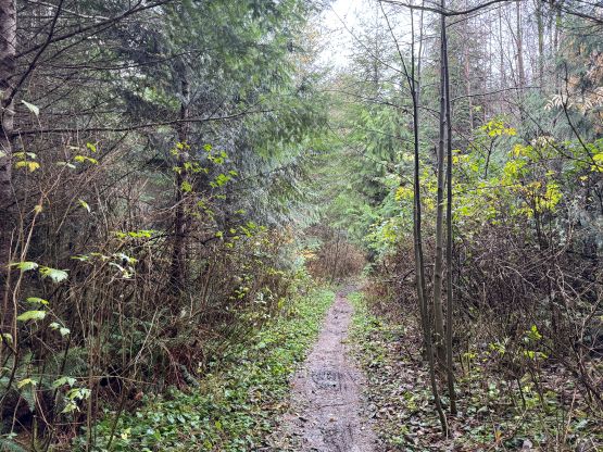
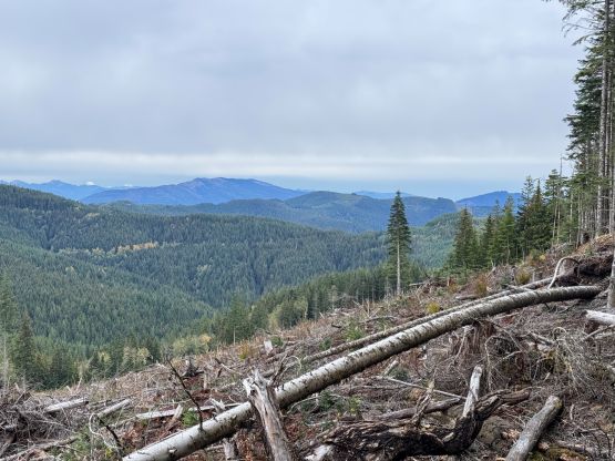
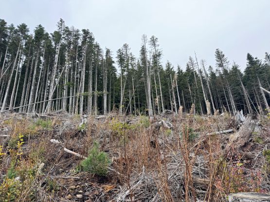
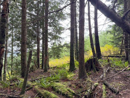
The alarm went off at 7 am but I pushed it back by half an hour. Eventually I had to drag my tired self up at 7:30 am and started the day half an hour later. The weather was overcast as forecasted. Another reason to push for this trip was to test my brand new Arc’teryx shoes, and not to my surprise they started to give me blisters on the heels after a mere kilometer or two into the plodding. I decided to push through the pain as I was not keen on coming back for this lame objective. There seemed to have a million ways linking the logging roads and the MTB trails on the west flanks of “Slash”, which was confirmed by the several GPX tracks that I grabbed from peakbagger.com. I opted to take one of the southern variations as I believed the overall distance was the shortest. There turned out to have a kilometer of swampy and overgrown road/trail before the grade picked up, and the MTB trails above the roads were insanely steep. Despite the blisters I was able to make good progress because my cardio fitness was quite good these days, so it didn’t take me long to reach the end of the trail underneath “Slash”. The MTB trail disappeared into piles of pick-up-sticks so I abandoned the path and opted for a direct up-and-over traverse over the high point. Descending the east side of “Slash” I made a mistake by dashing into the clear-cut. The bushwhacking was a bit painful thank to some thorny plants, but was short-lived. I discovered a much better way on the return by staying in the forest to the north.
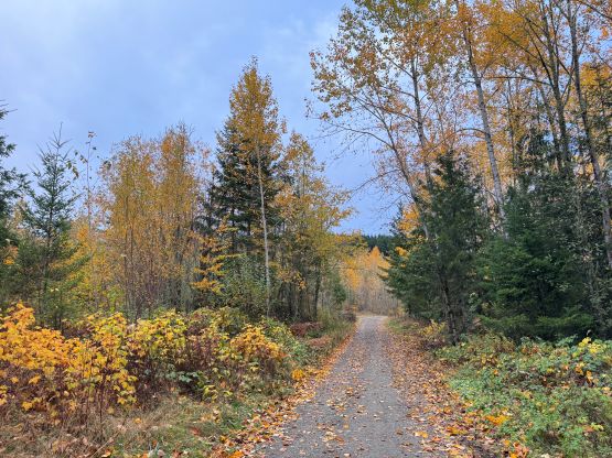
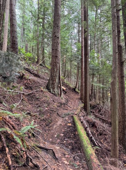
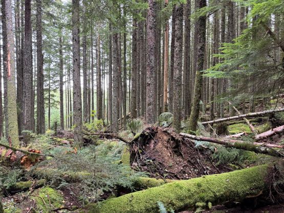
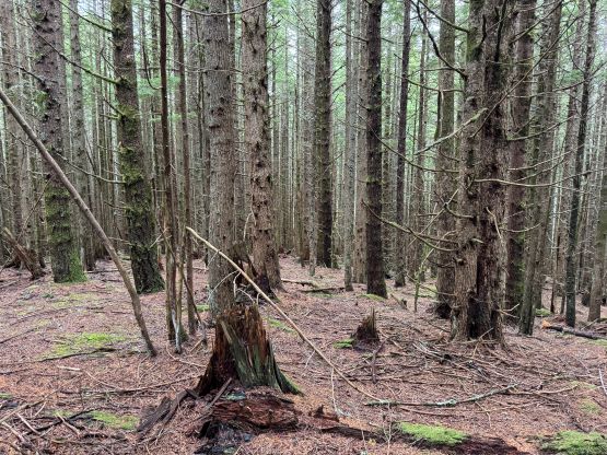
The next stretch involved another kilometer of plodding on flat-ish logging roads, all the way to the base of the “summit block”. My original thought was to follow the road north-and-around to aim for the shortest possible bushwhacking distance, but I toggled the map layer to the satellite images and noticed the band of taller trees to the south. Indeed, one of the GPX tracks that I downloaded detoured south instead, so I went for that way. There was virtually no bushwhacking in these taller trees, but the traverse to the true summit was a sustained BW3 thrash. I believed there’s no easier way in tagging the highest point but at least the heinous bushwhacking was no worse than 100 horizontal meters.
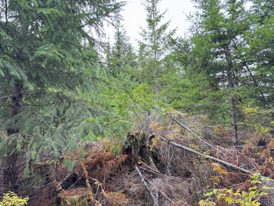
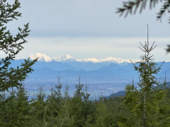
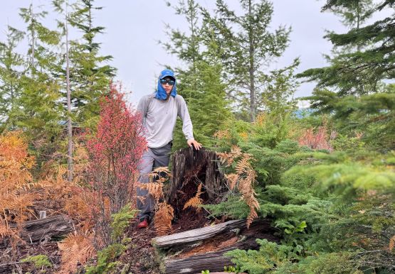
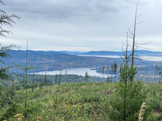
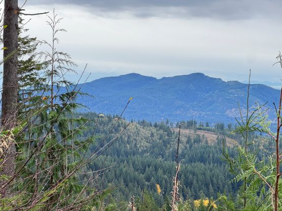
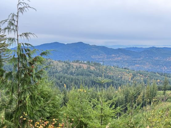
The weather was still 100% overcast and the views towards the bigger peaks were largely obscured, so I took an obligatory “victory shot” and started the descent. I found a better way traversing back into the woods but some BW3 thrashing was still unavoidable. I then jogged down the open forest back to the logging roads. To reascend “Slash” I again went for my own variation by staying in the forest, and the bushwhacking was next to non-existing. Future parties should follow my descent route and avoid that cut-block for all costs. The rest of the descent was uneventful as I jogged and power-walked for most of the way back. I did make a mistake near the very end by taking a wrong turn, and that costed a few minutes of delay. My round trip time was 3 hours 45 minutes which was faster than expected given the 15+ km round trip distance. I even earned myself an hour of napping time before showing up at work.