Sacajawea Peak [OR]
June 24, 2025
2999m
Wallowa Mountains, OR
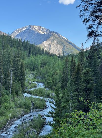
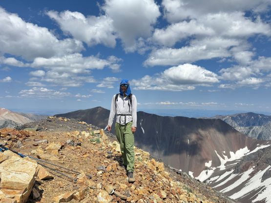
Sacajawea Peak is the highest peak in the entire Wallowa Mountains of NE Oregon and thereafter boasts over 1900 m prominence. The summit elevation is almost exactly 3000 m. This area generally has some nicer weather than the PNW but the long drive is the major deterring factor. I eventually decided to pull the trigger and the reason was again to drive away from the dreary coastal weather. Erica and Seb were also keen on exploring a new area so we made the long drive down south-east. On the first day we drove all the way to SE WA, did Oregon Butte and then drove to NE OR and camped on a random FSR pull-out. The next morning we got up at 8 am and drove the remaining 2 hours to Hurricane Creek Trail-head which is the starting point for Sacajawea Peak.

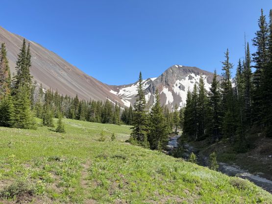
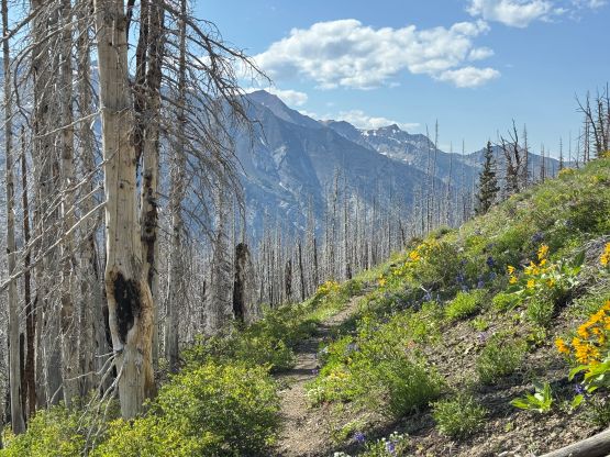
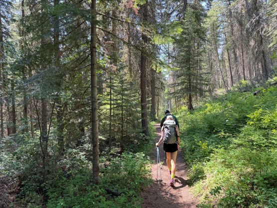
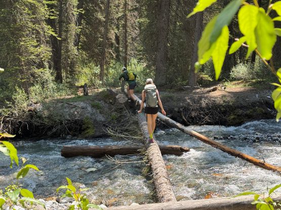
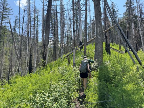
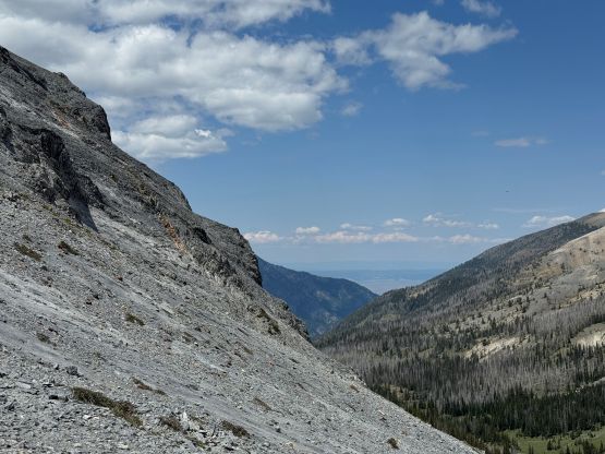
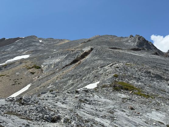
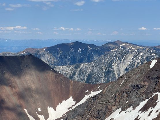
There’s little worth noting about the ascent itself as this was essentially just a long ass plod up a fairly well-maintained trail. The final 500 m elevation gain would be on some steep and loose terrain but the path was still obvious and there’s minimal scrambling required. The first few kilometers was to dash up the trail beside Hurricane Creek with minimal elevation gain. It was kind of annoying especially on the way back. We then crossed Hurricane Creek on a downed log and picked up the trail on the opposite side. The next stage was a steep grunt in some hot weather, along “Thorp Creek Trail” labelled on the Gaia map. The trail quality was nice but I was feeling the lack of energy due to the illness. I made Seb and Erica wait for me for a few times but there’s no way I could go any faster.
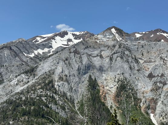
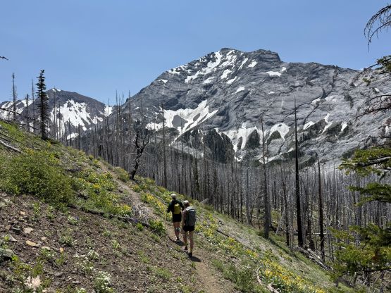
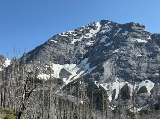
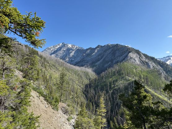
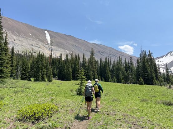
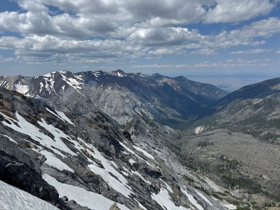
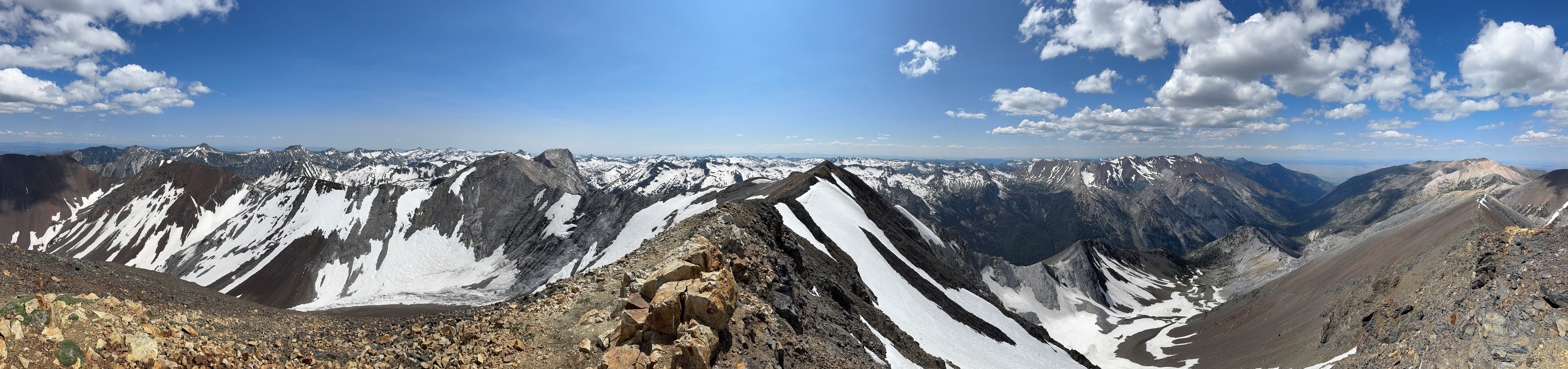
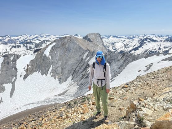
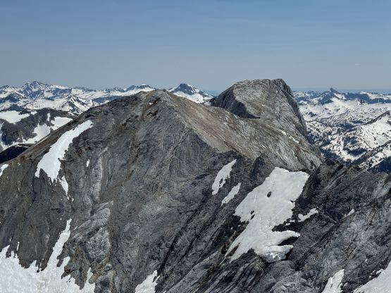
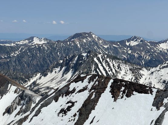
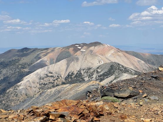
The grade petered out towards the end of this valley where the terrain resembles in the Rockies somehow. We stopped to fill up the water bottles and I made Erica and Seb to go ahead to tag the summit. I dragged my tired ass after taking a long break, but for the last 500 m elevation gain every step was a struggle. I eventually did drag myself to the summit but I basically used up all of the energy. I told the others to go to Matterhorn themselves, as I desperately needed to descend. Skipping a peak sucks and Matterhorn is the second highest peak in this range and only requires a couple kilometers of ridge walking, but I had to be realistic.
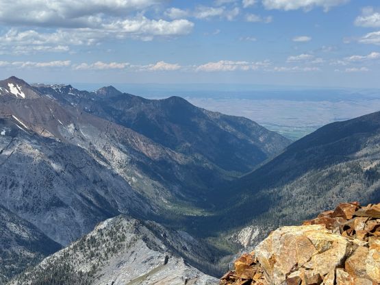
While descending I was feeling some kind of panic attack starting but I managed to somehow ride it out this time, unlike in Ecuador. At least I knew there’s nothing serious associated with it so I was able to keep myself calm. I never sat down nor stopped as stopping could only make things worse. After making a single dash down to the valley bottom I felt the symptoms fading, so took a long break rehydrating. I then leisurely walked out but developed some painful blisters. For the last few kilometers along the flat trail I was hobbling but I still finished the round trip in less than 7.5 hours. I thought Erica and Seb would definitely catch up to me but they never did. In fact, I had to wait in the car for at least half an hour. It turned out that Seb was also having issues with his muscles and the problem was especially bad on the descent. We then made the decision to skip He Devil/She Devil as we were simply not in the right shape for that, and settled on Mt. Emily before driving home. But the first thing was to have a well deserved dinner.